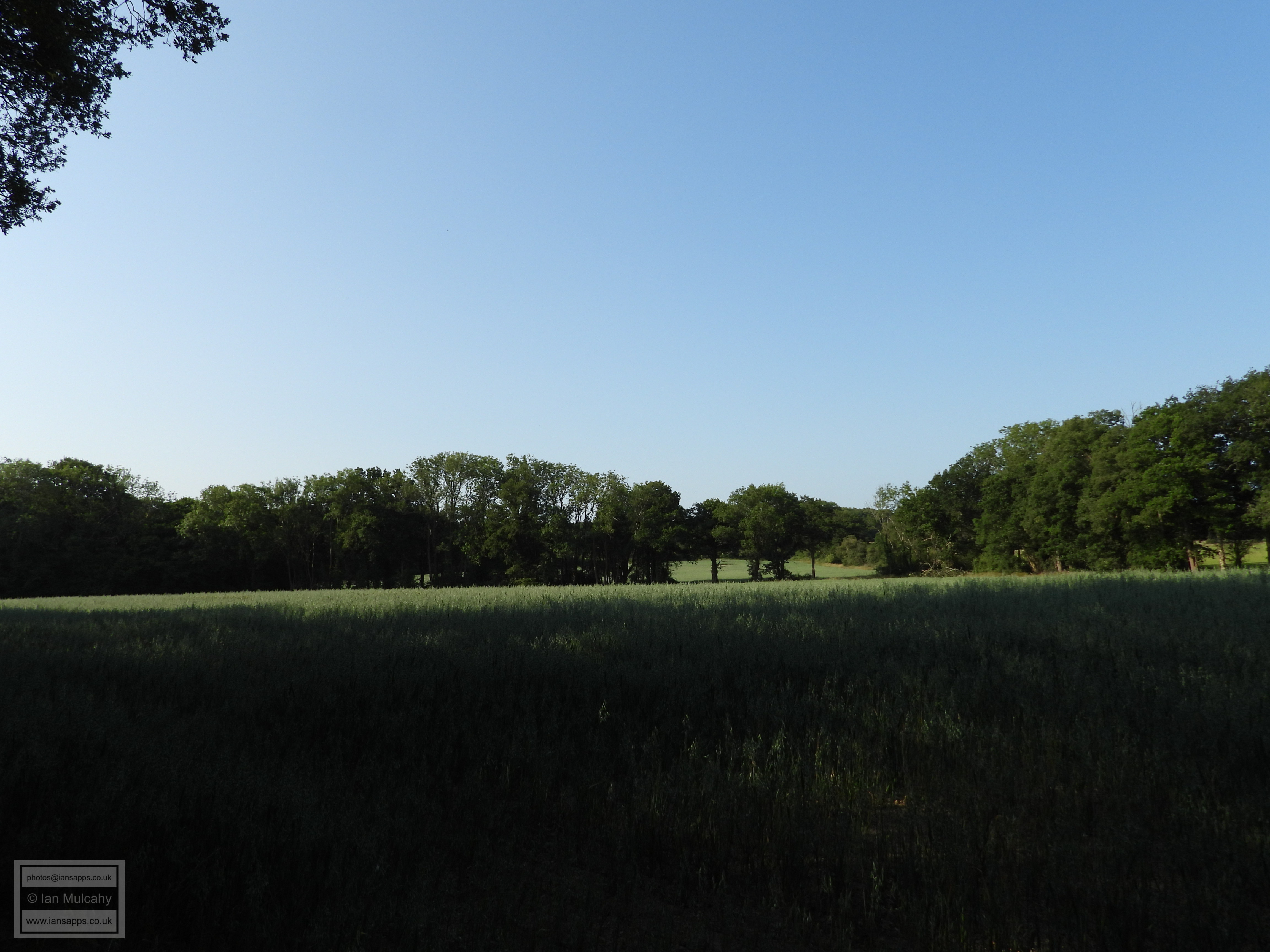
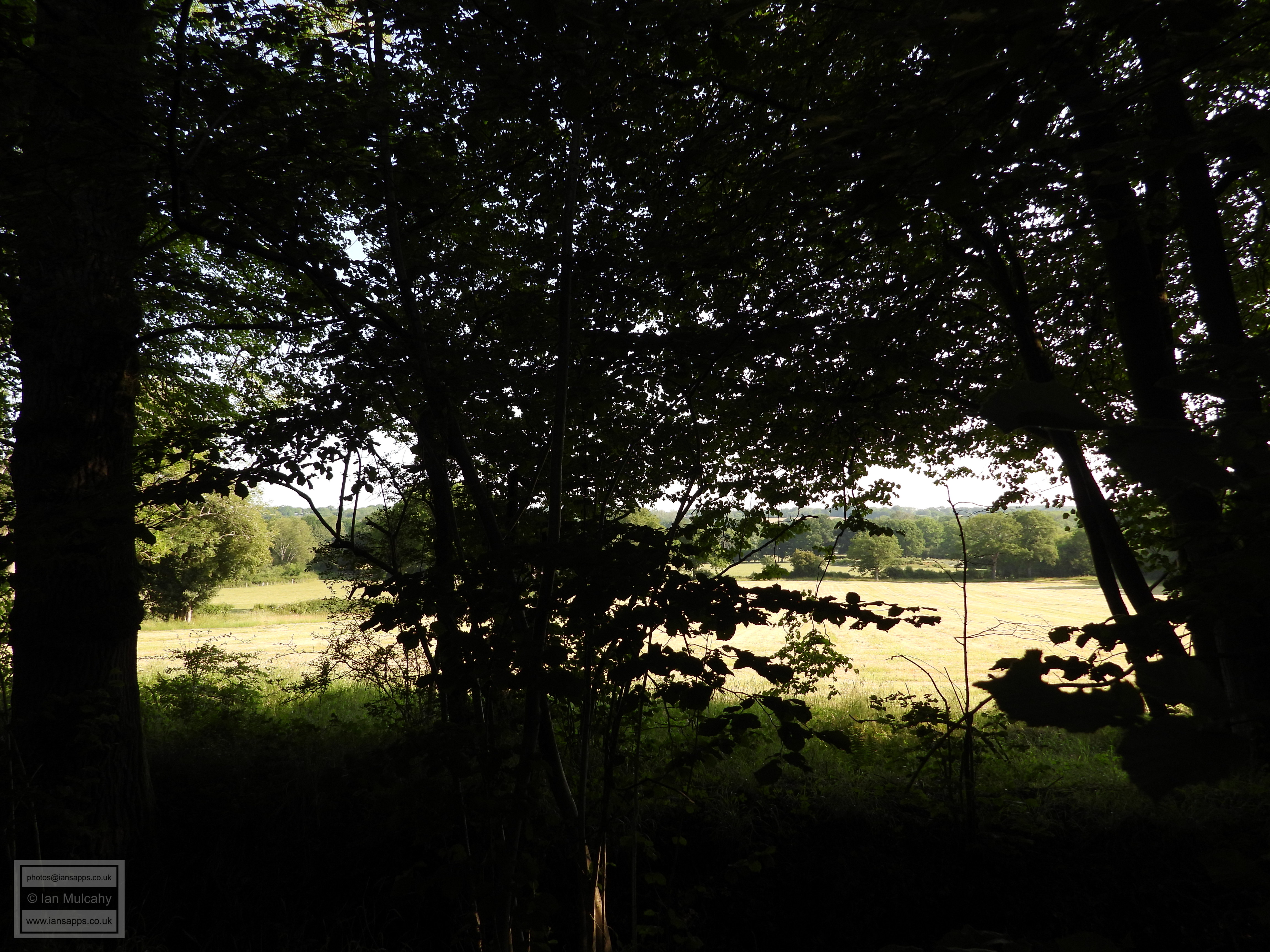
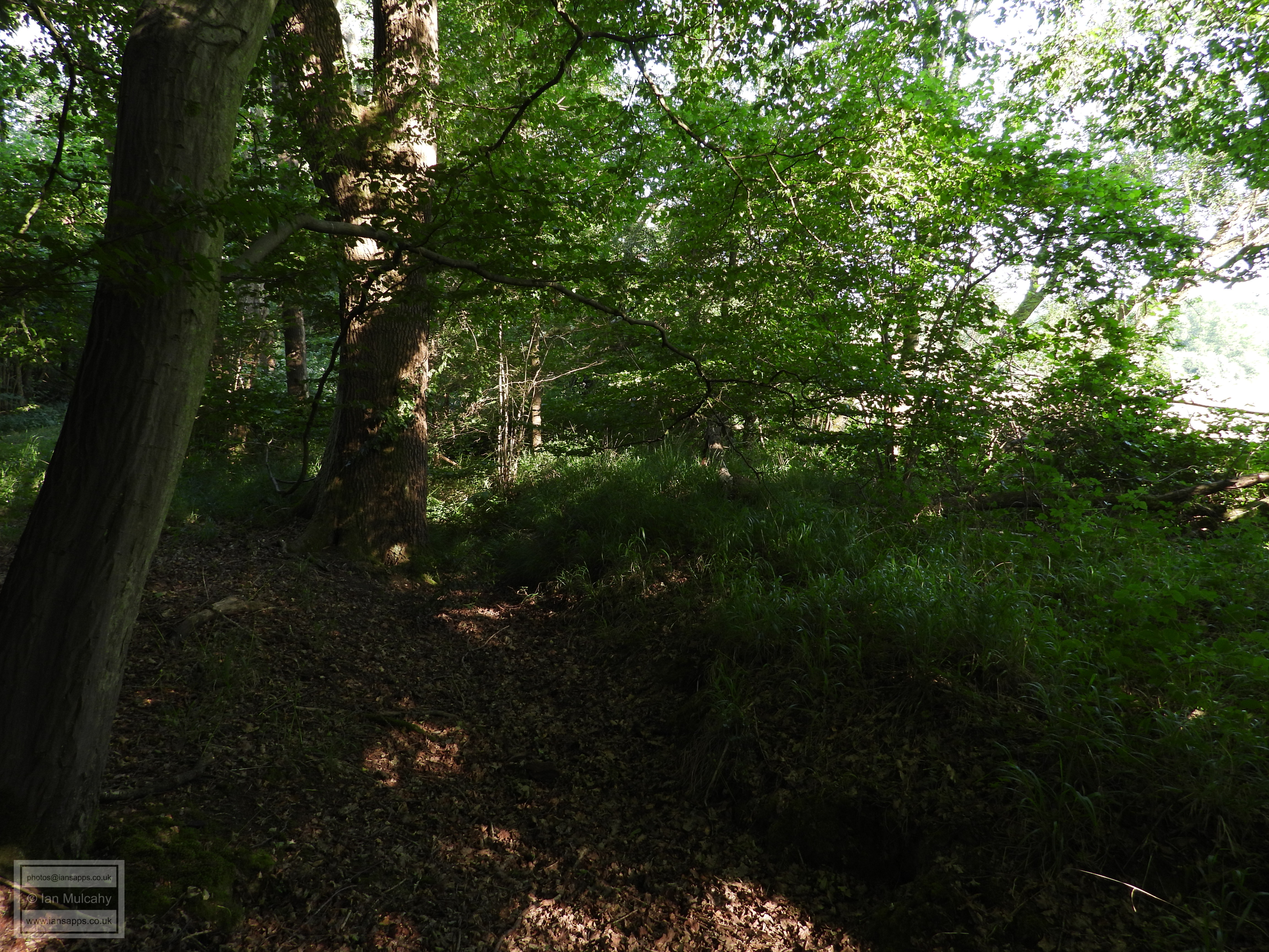
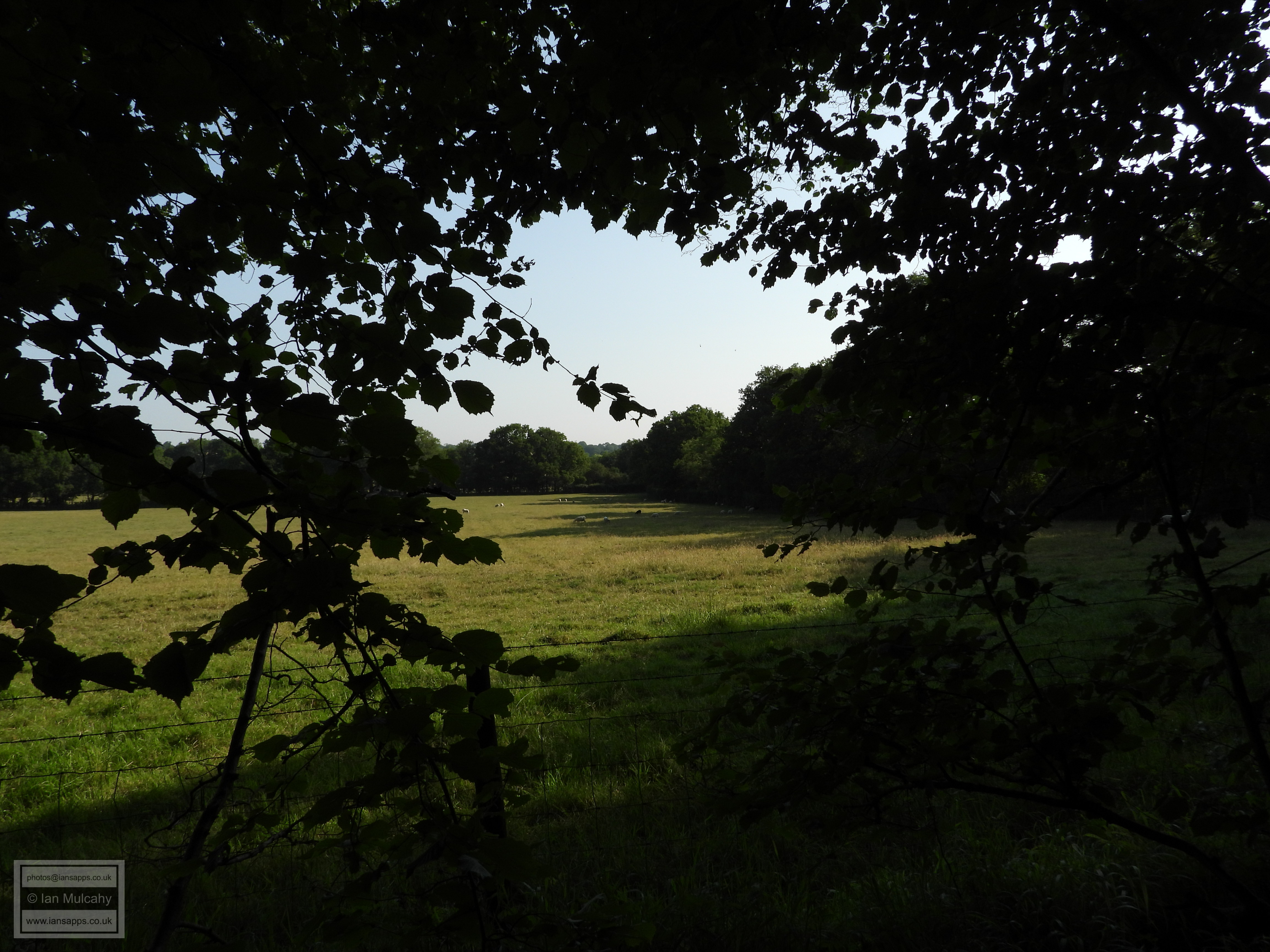
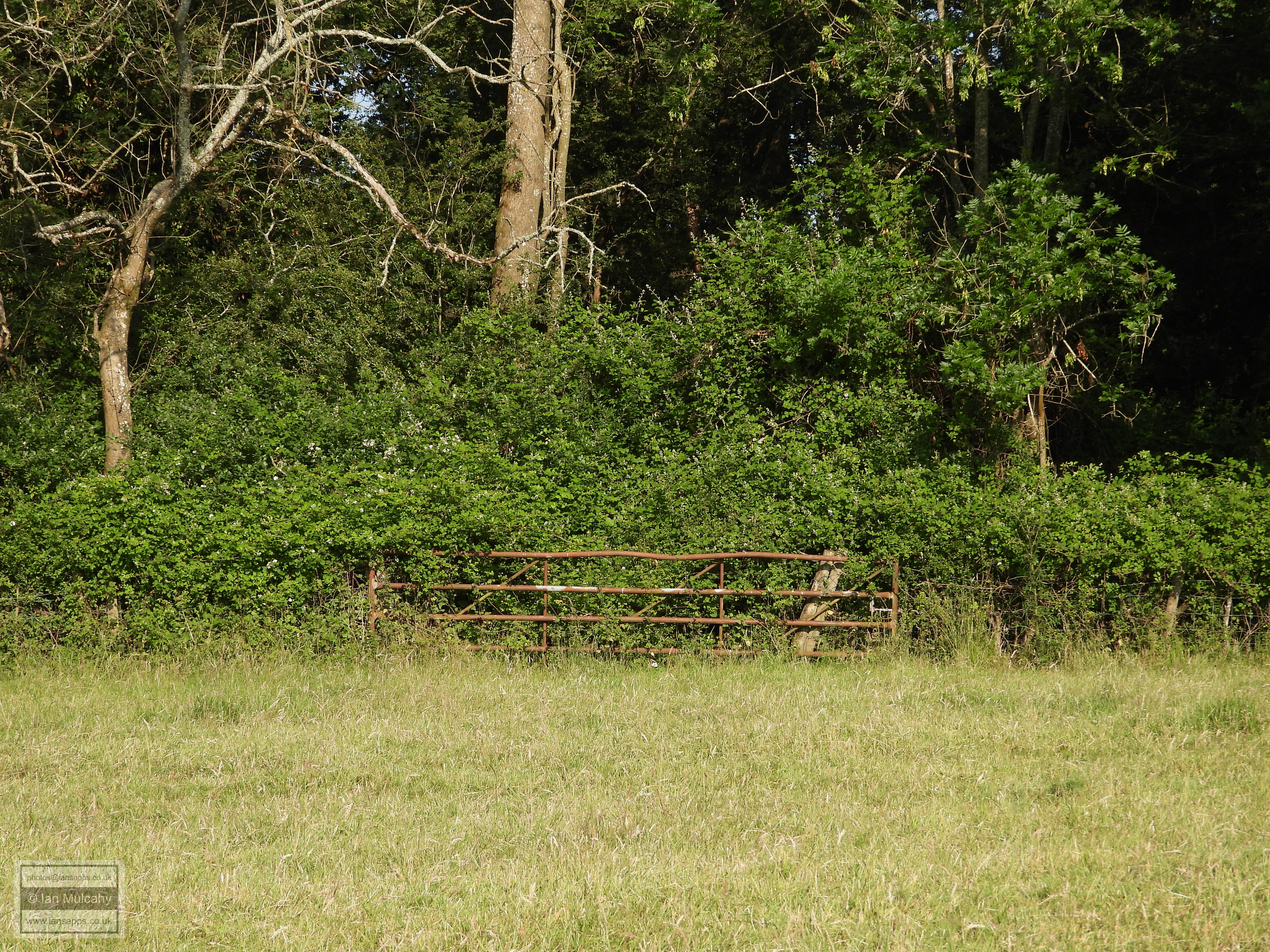
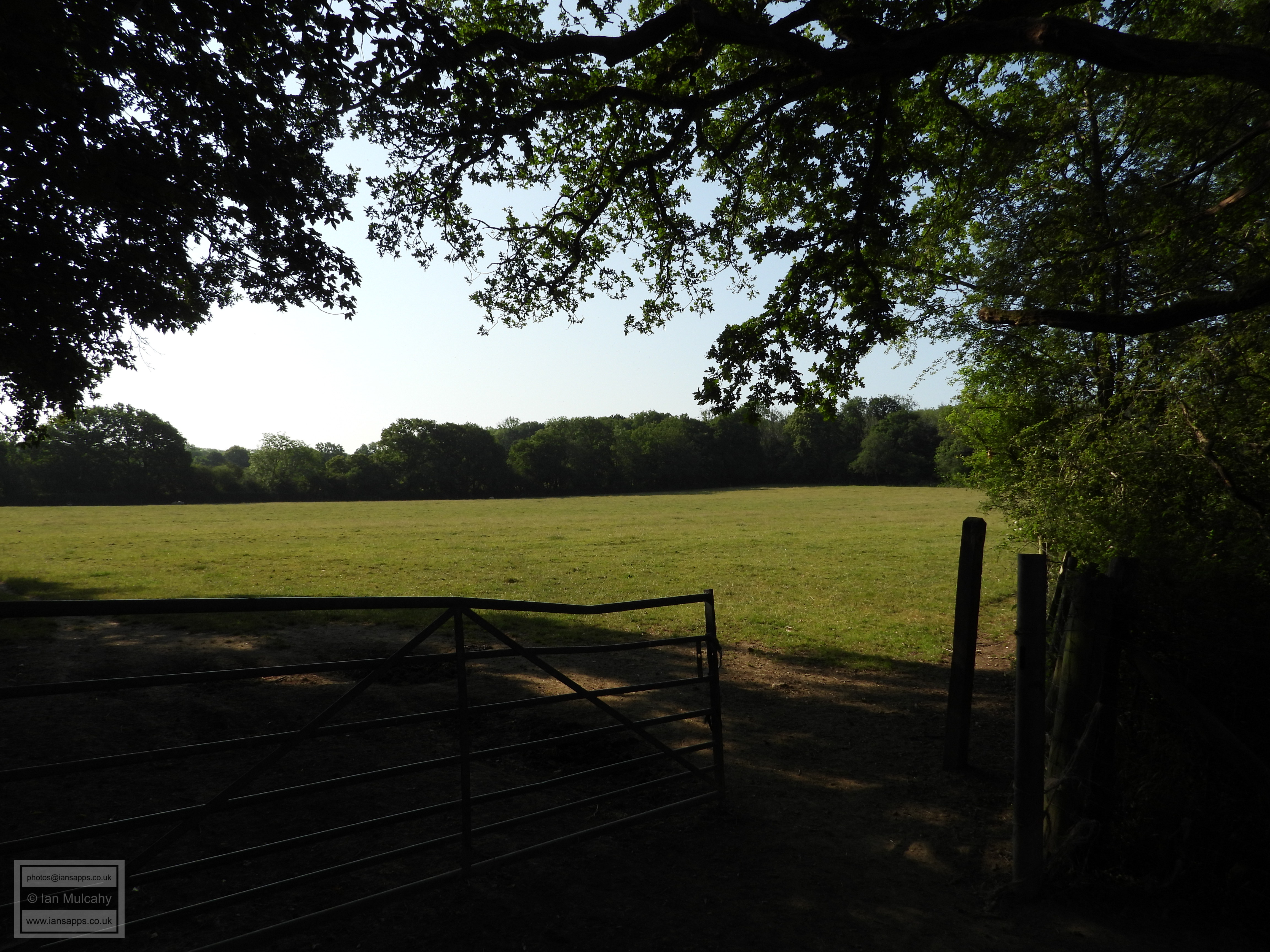
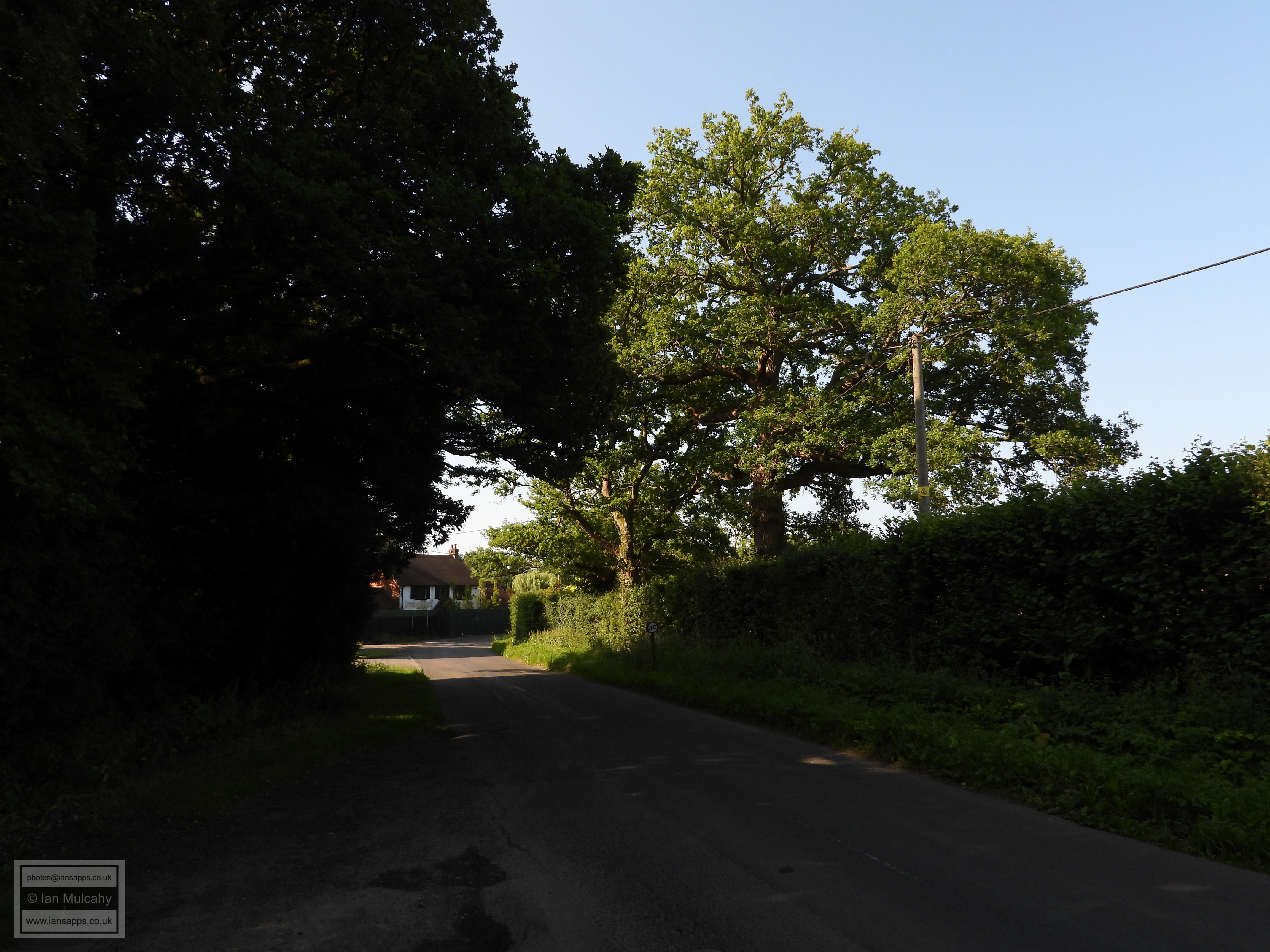
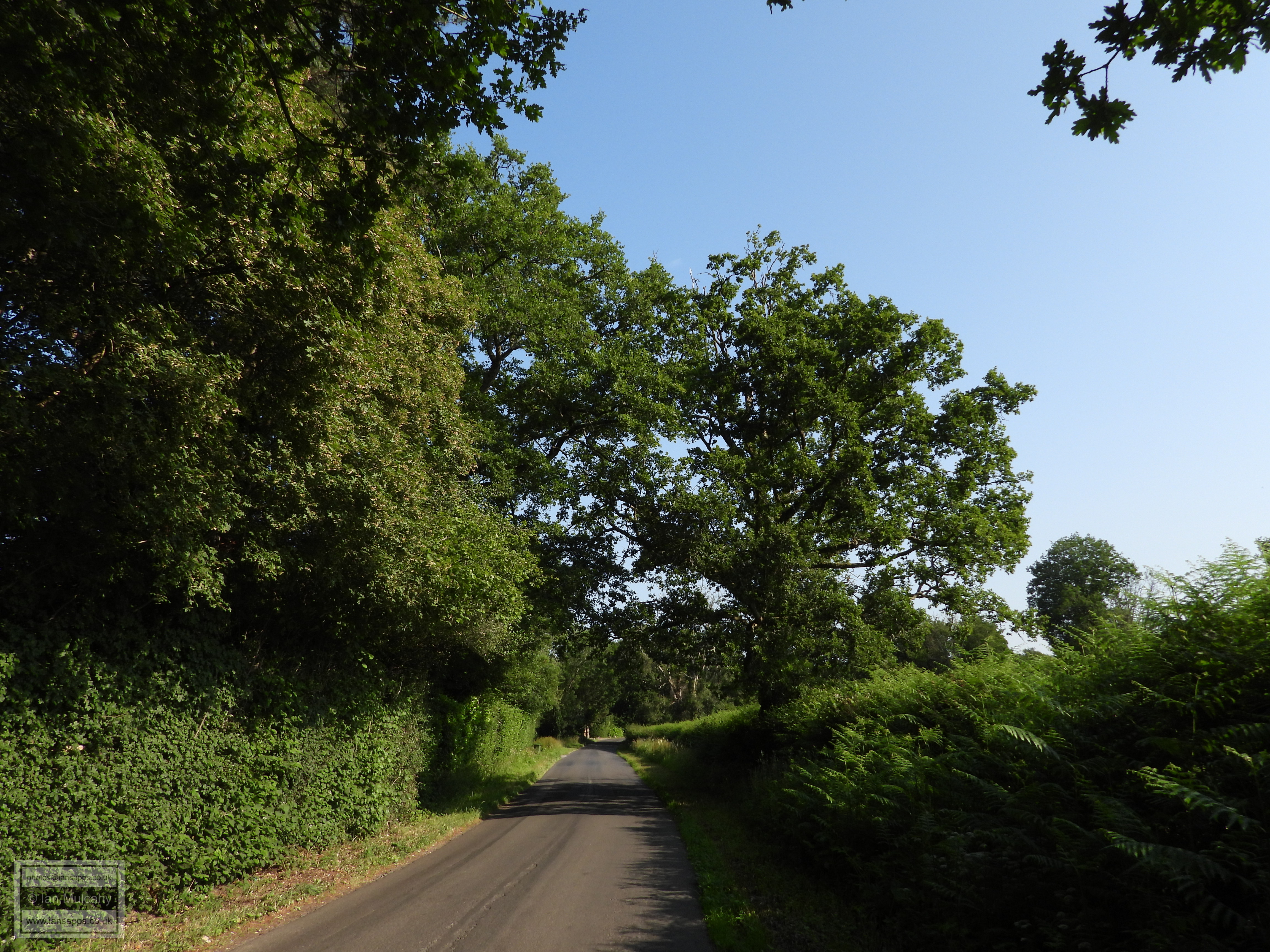
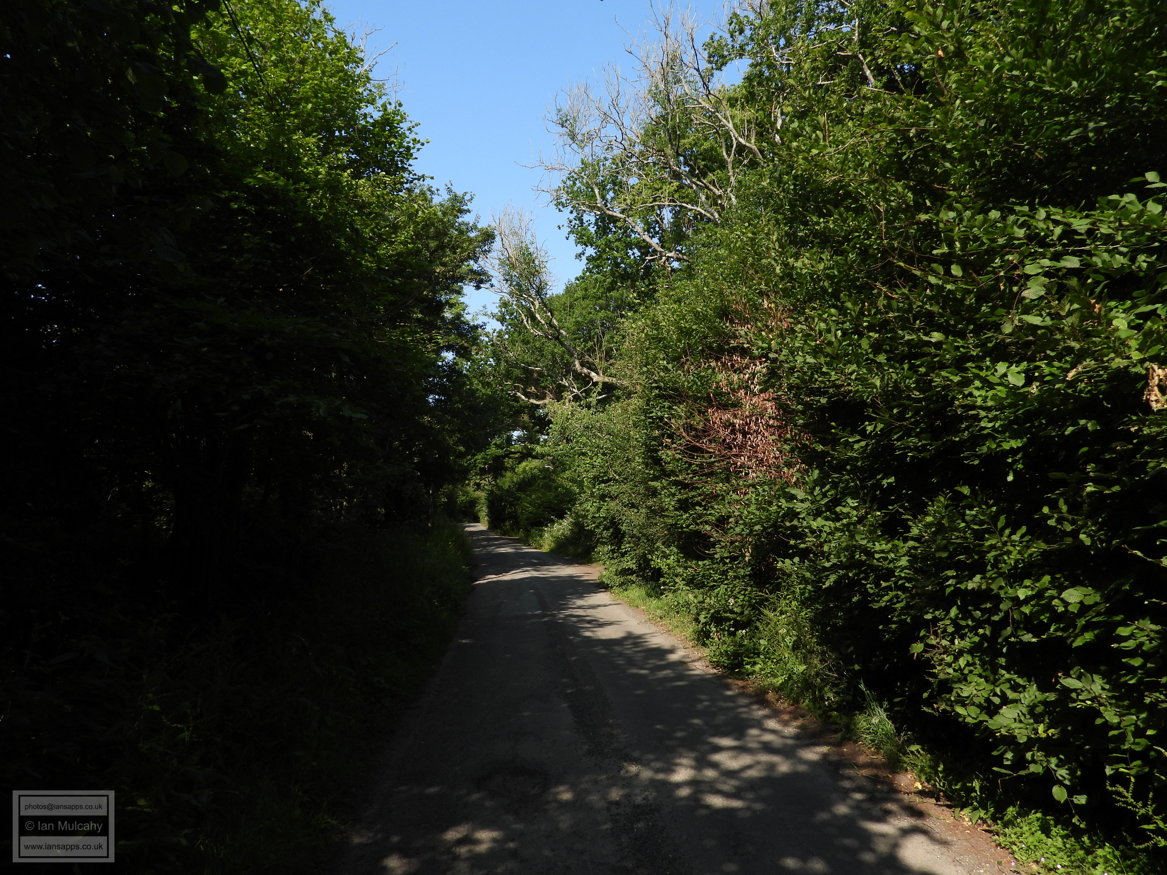
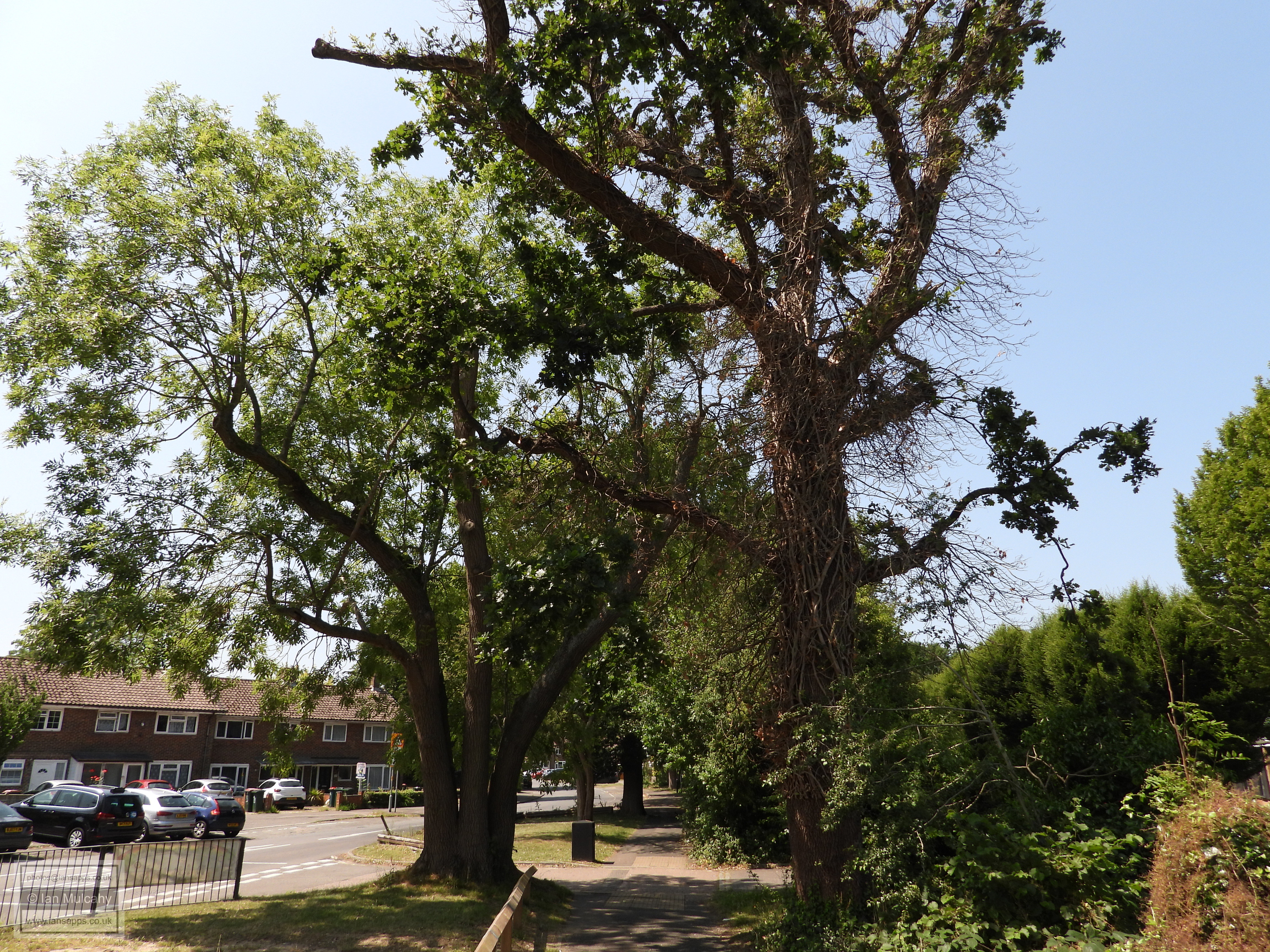
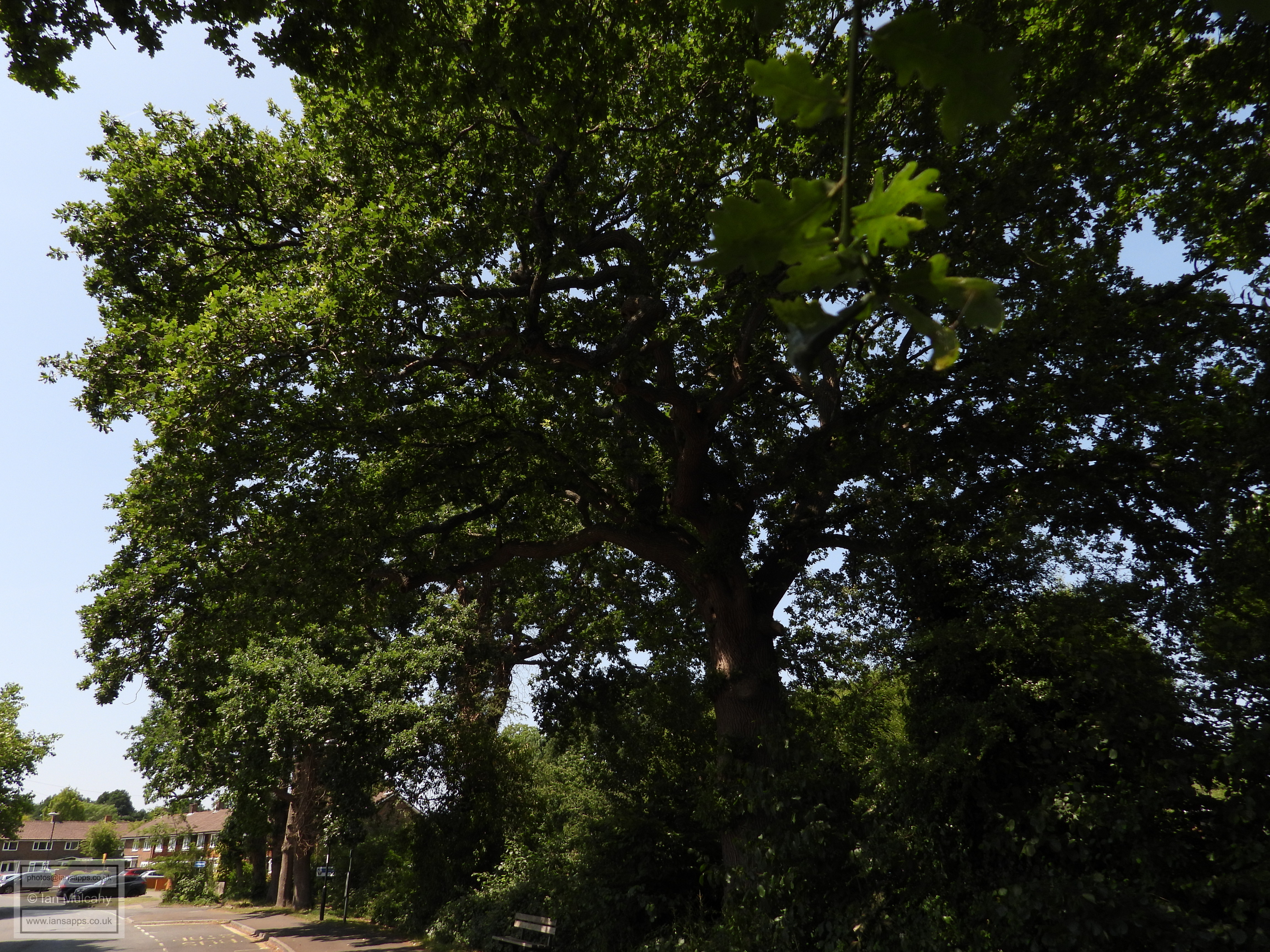
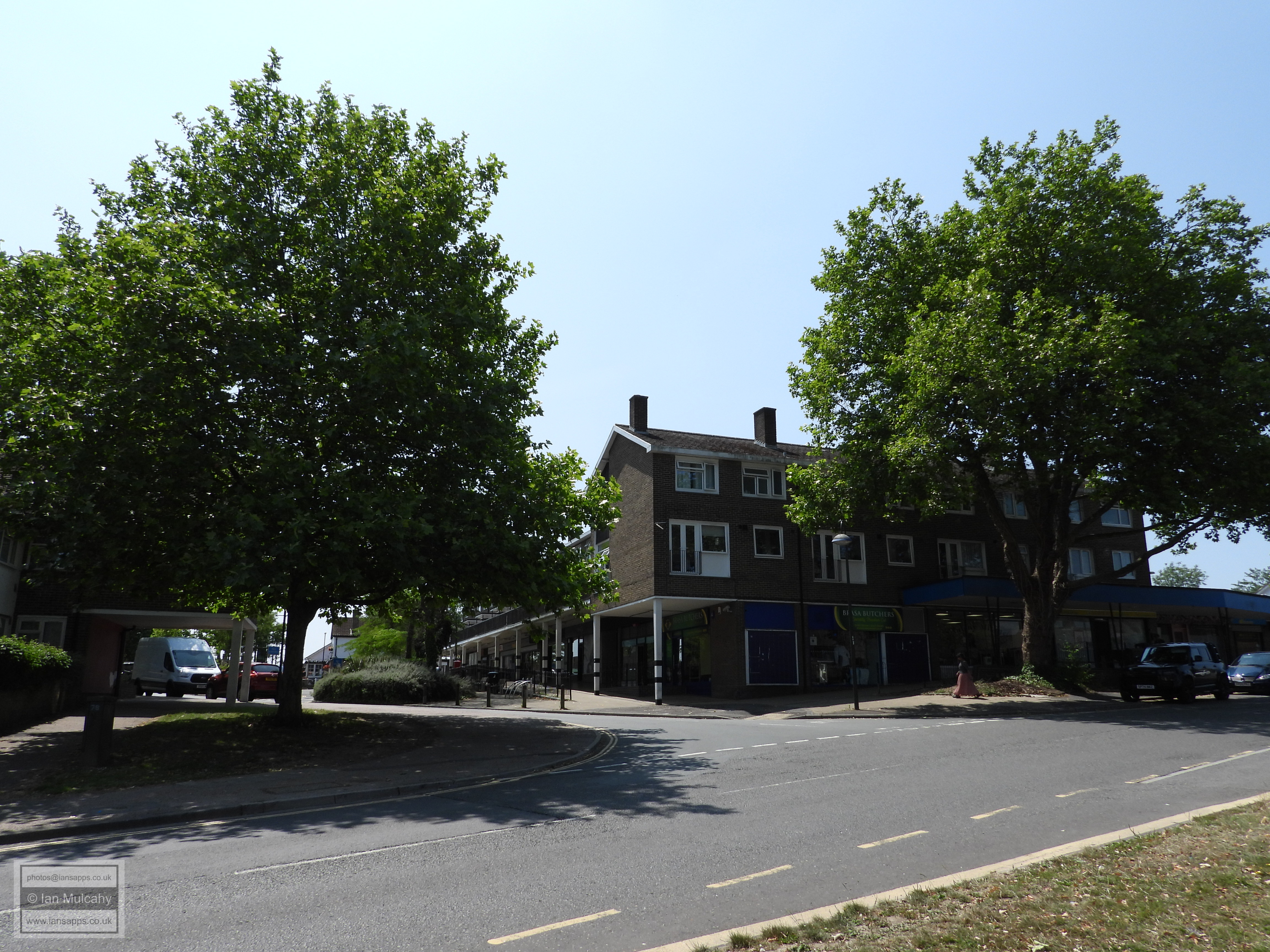
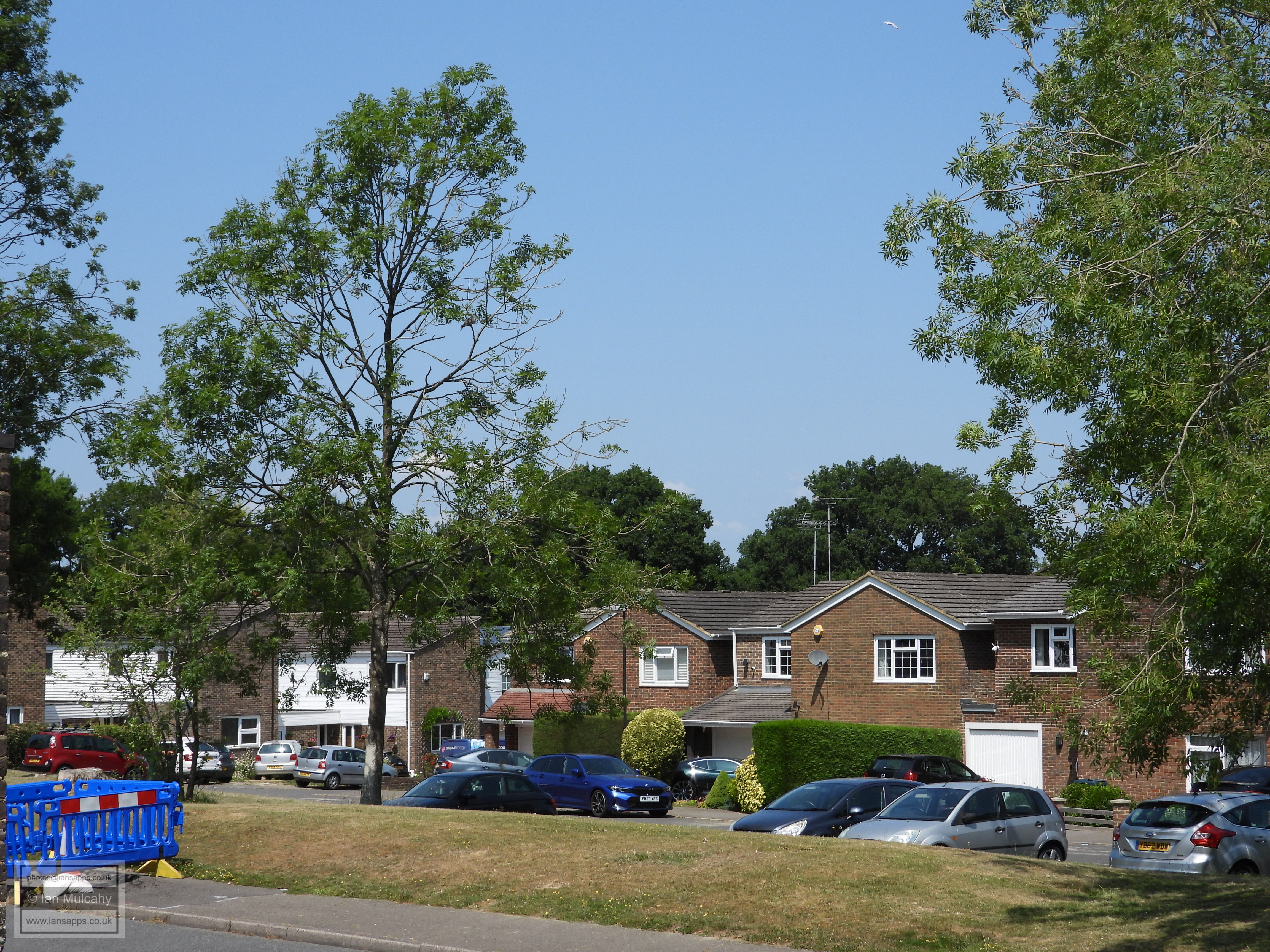
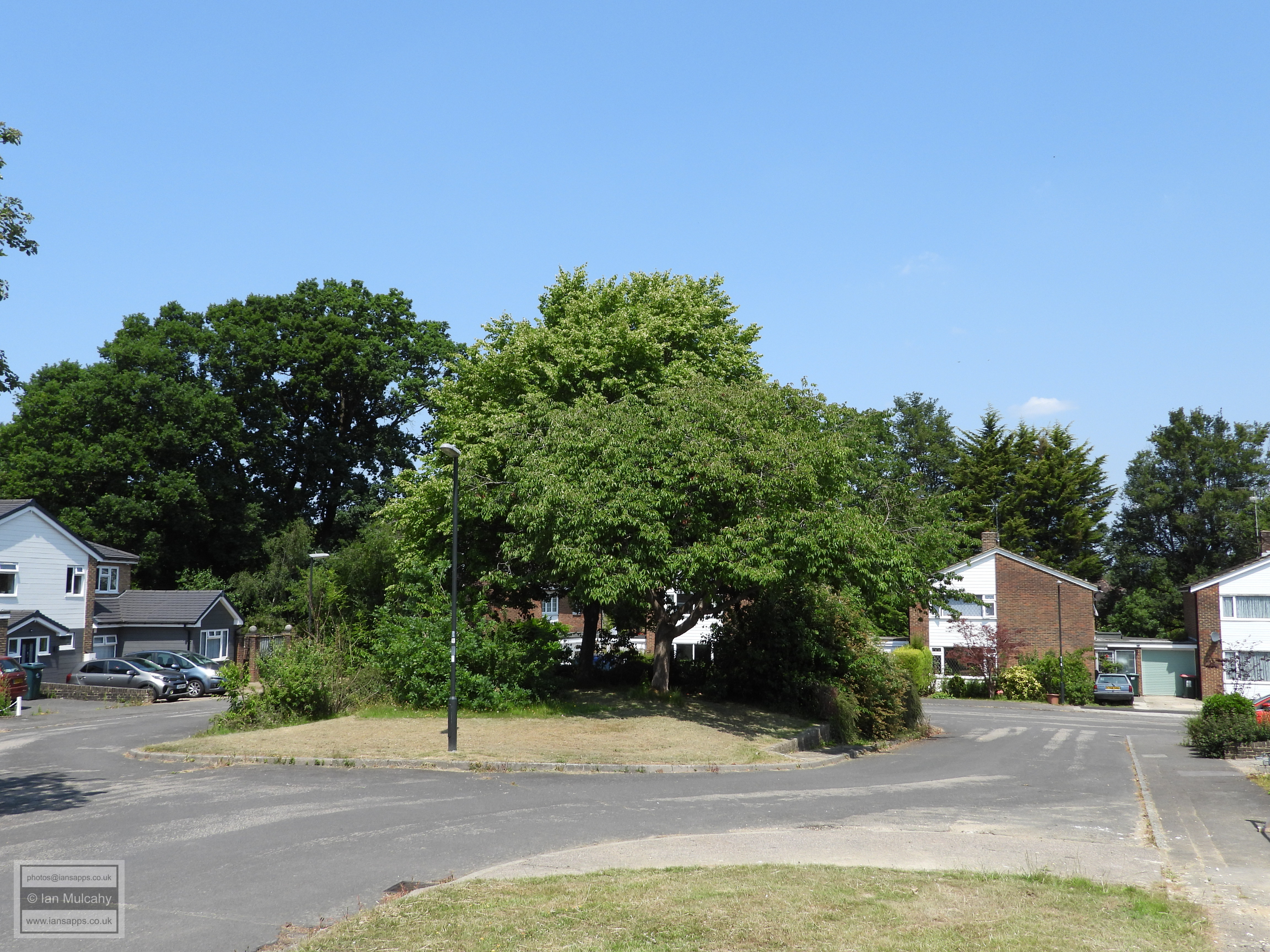
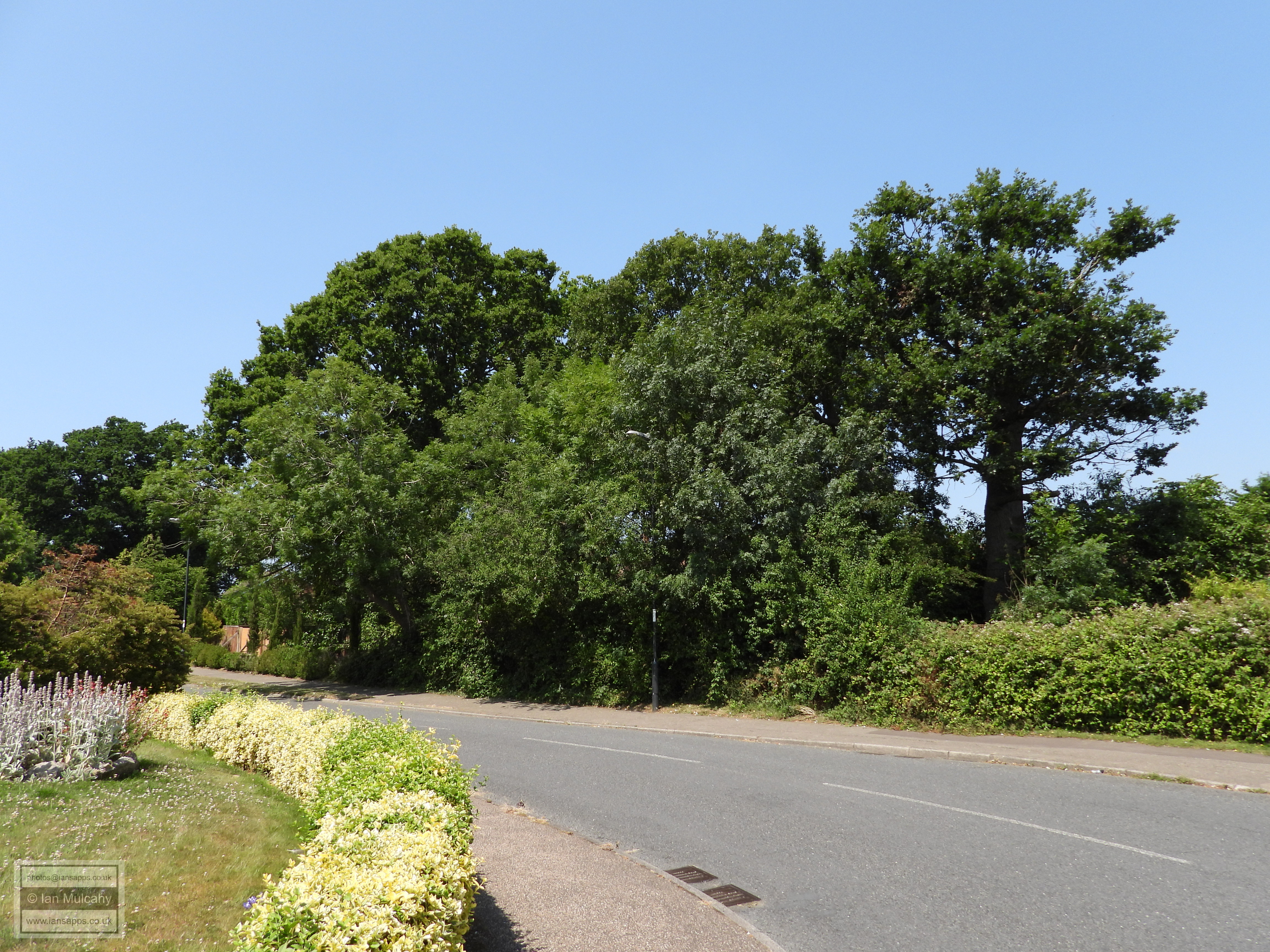
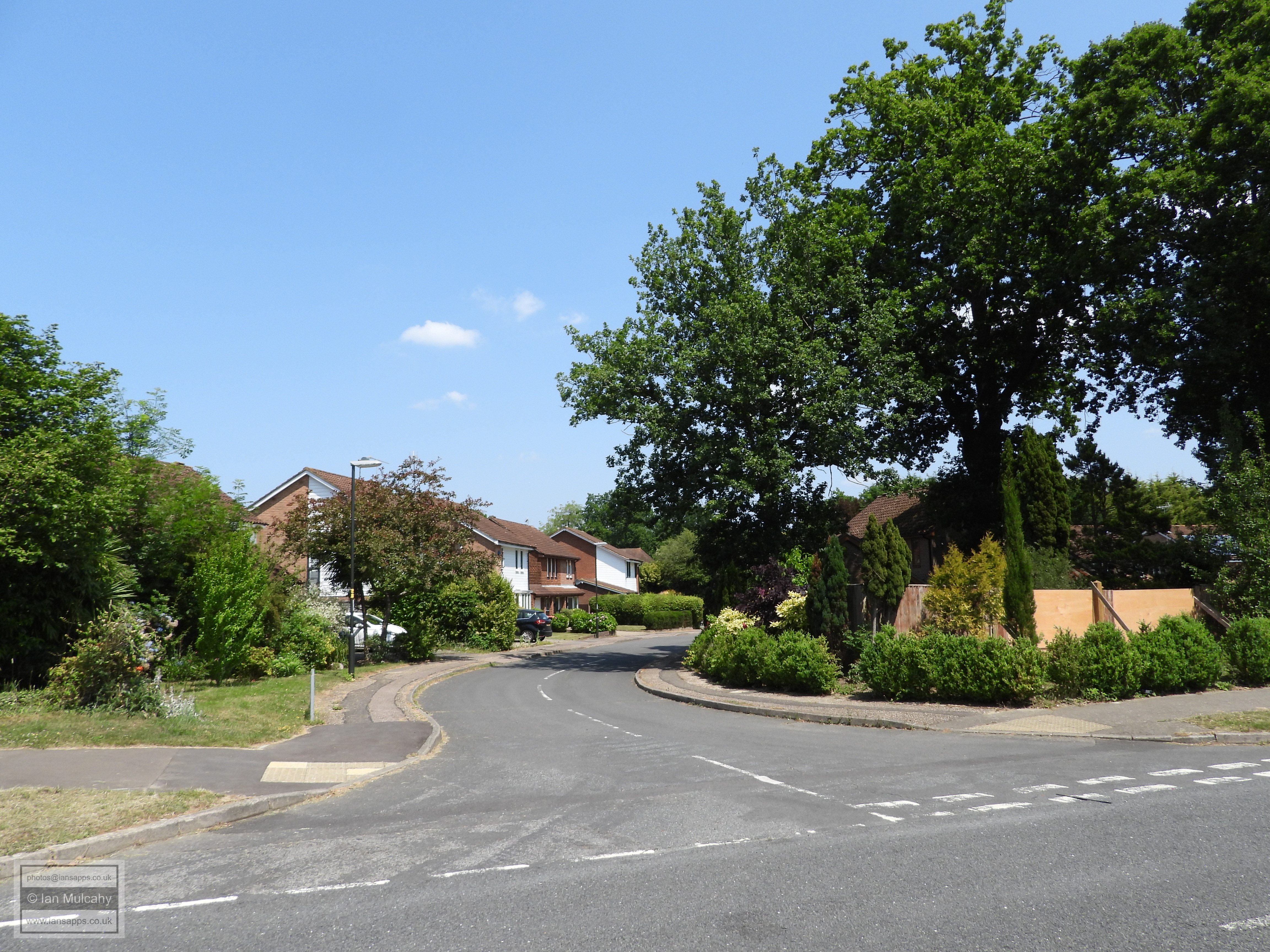
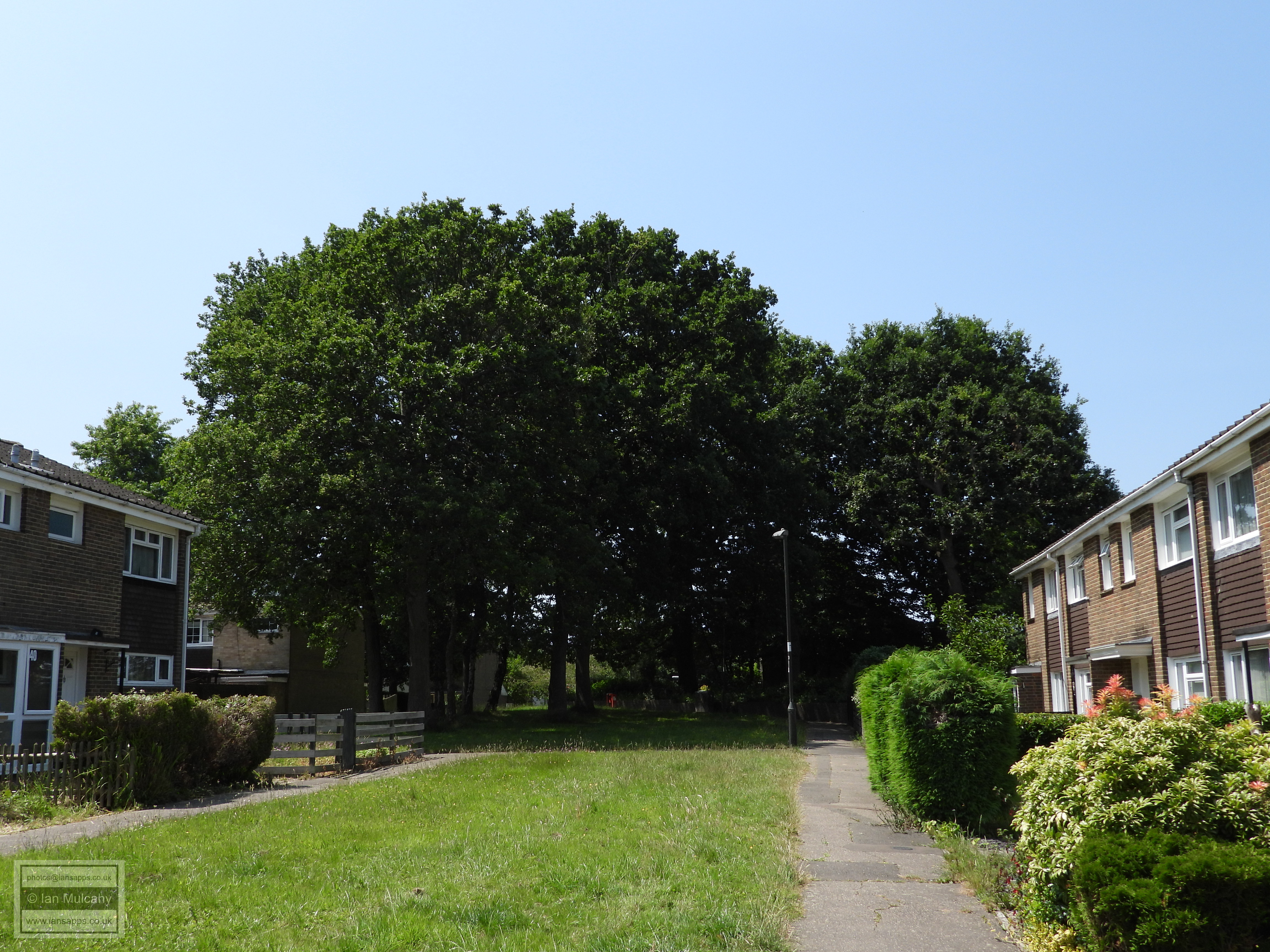
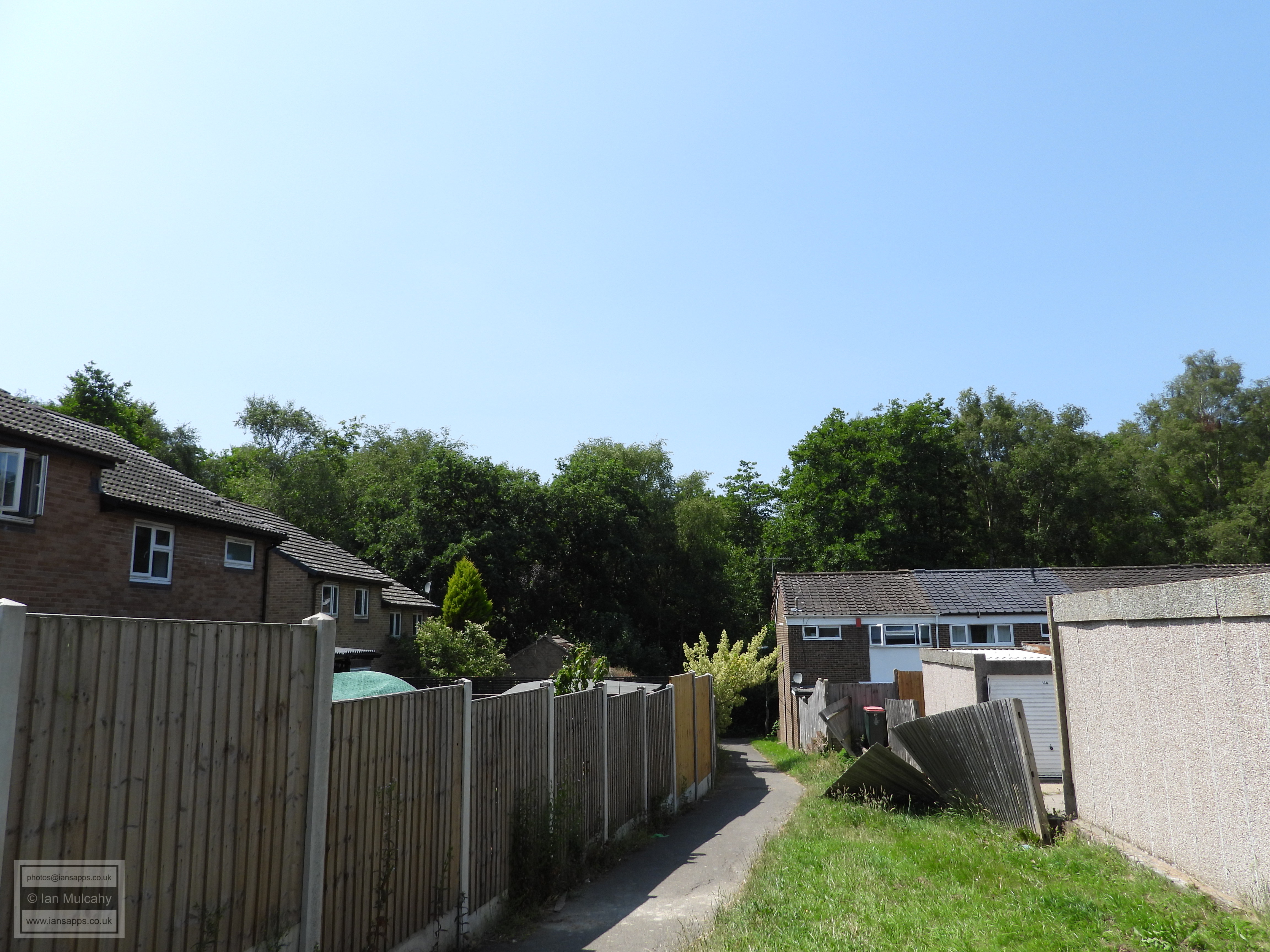
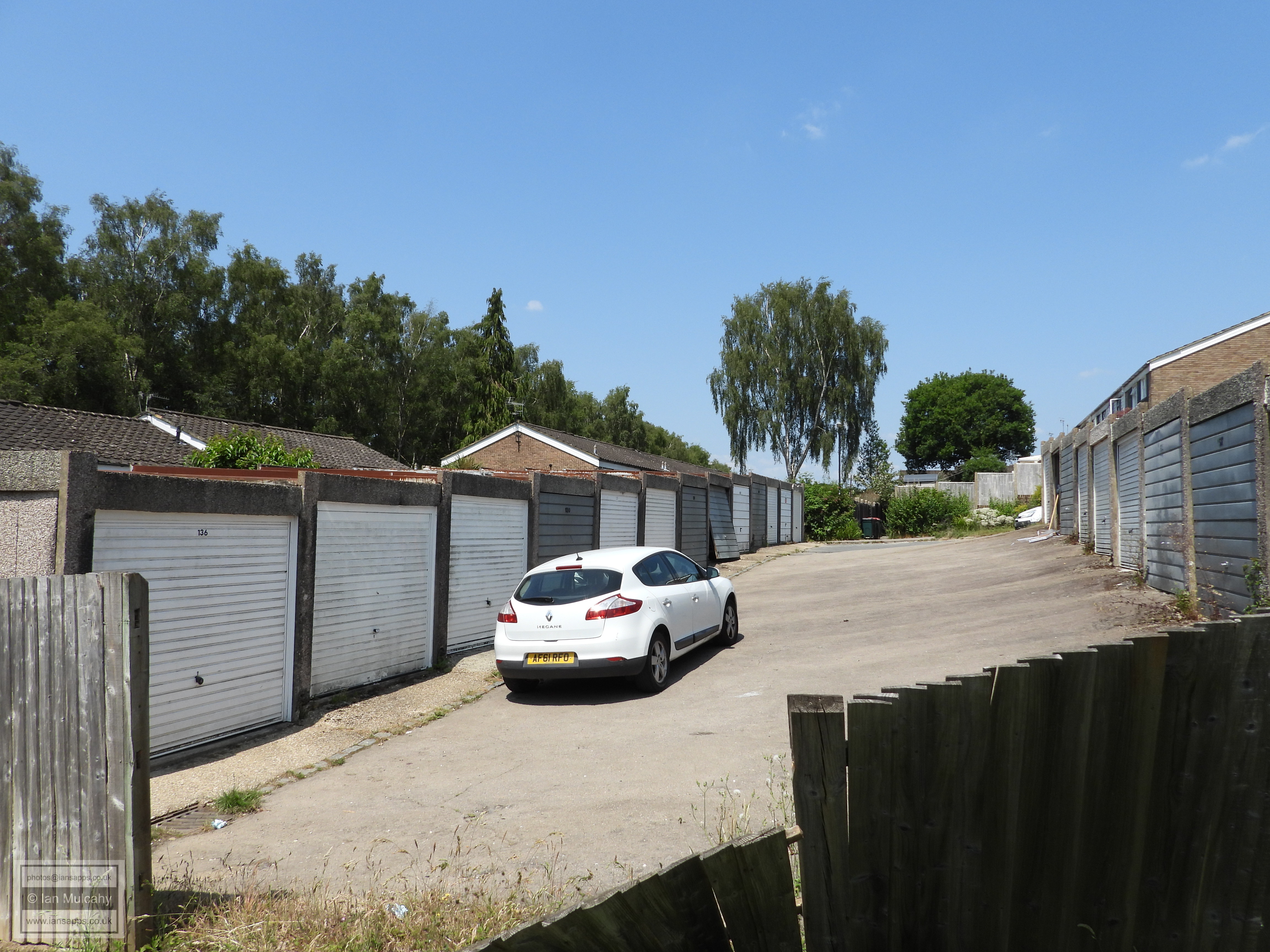
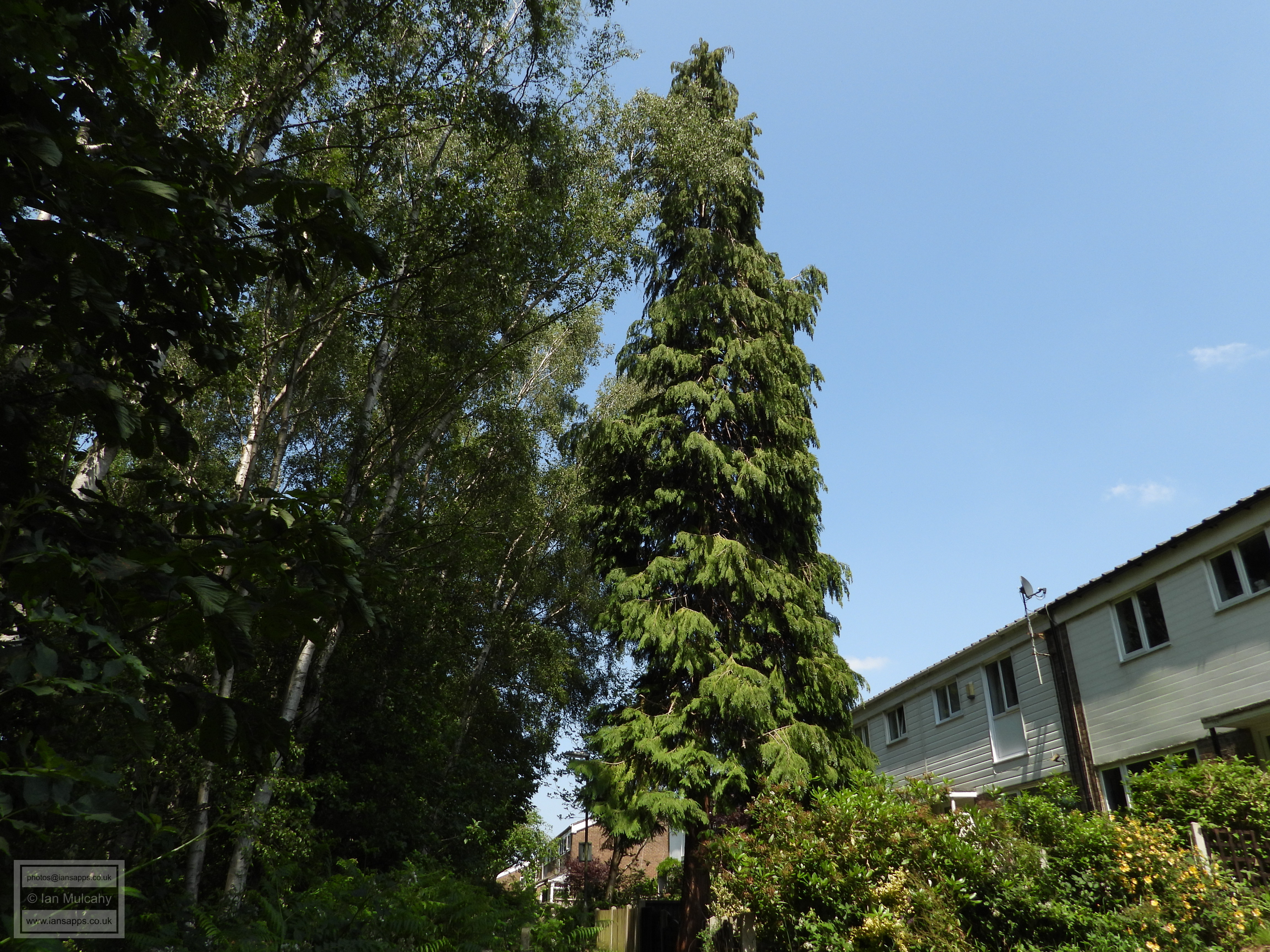
16 mile walk around the original Parish of Ifield boundary
19 June 2025
149 photos and commentary
|
With fine weather promised, I decided to book Thursday 19 June 2025 off work and attempt to walk as close as possible to the old, pre 1933, boundary of the Parish of Ifield. Attempt is the key word here, because it was 28 degrees by 11:00 and I estimated the walk to be around 16 miles. But I did it, in just under 7 hours (including 2 short breaks and a longer break at the Museum as I passed) and below are 149 photographs taken during the walk, along with a descriptive commentary.
This is my tracker from the route, and the actual parish boundary is shown on the map below. Following the boundary exactly, particularly along the northern and western parts, wasn't possible due to rivers, hedgerows and inaccessible private property, but I've gone as close as possible using public rights of way (and a little 'off piste' near the start).
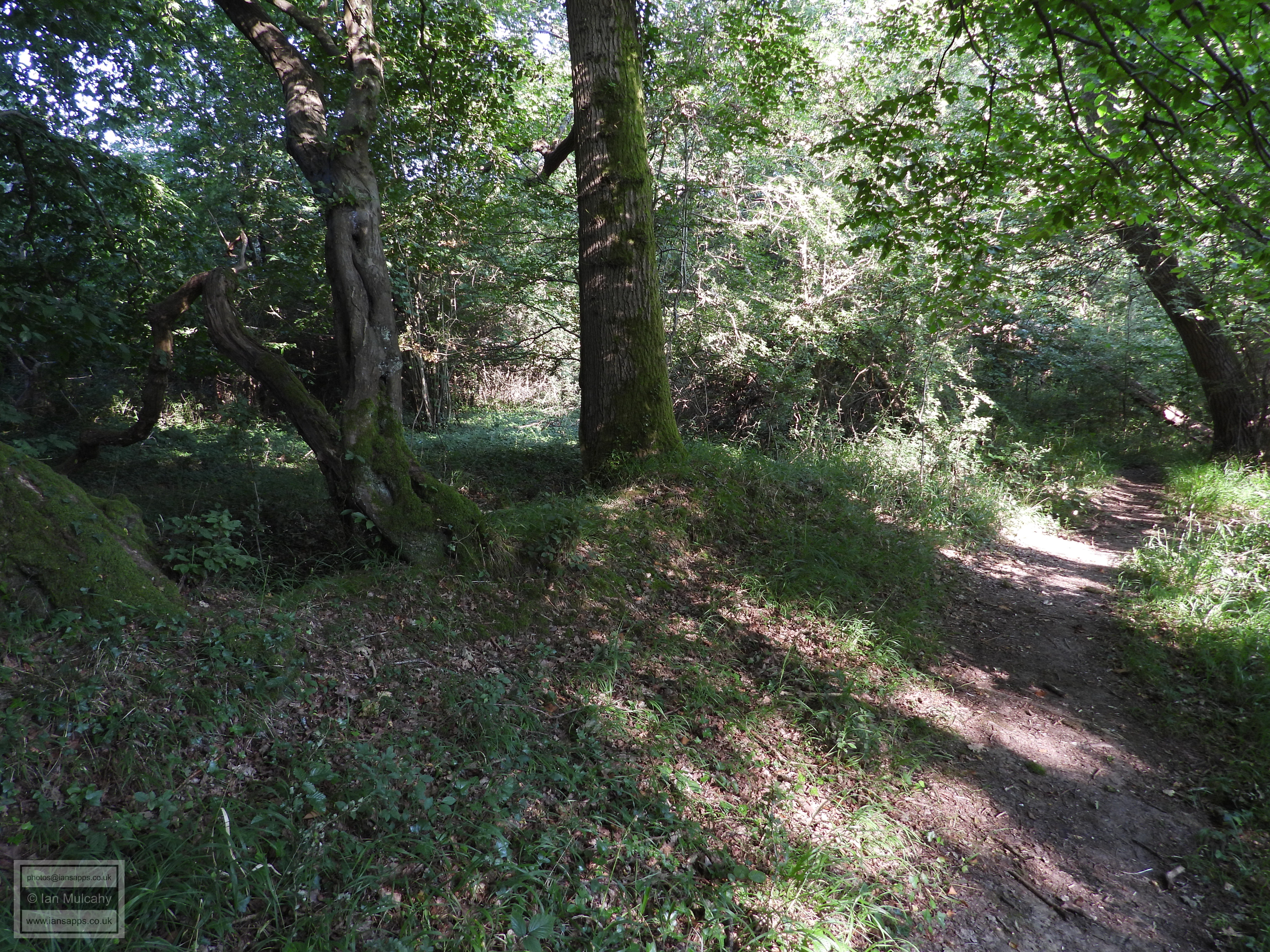
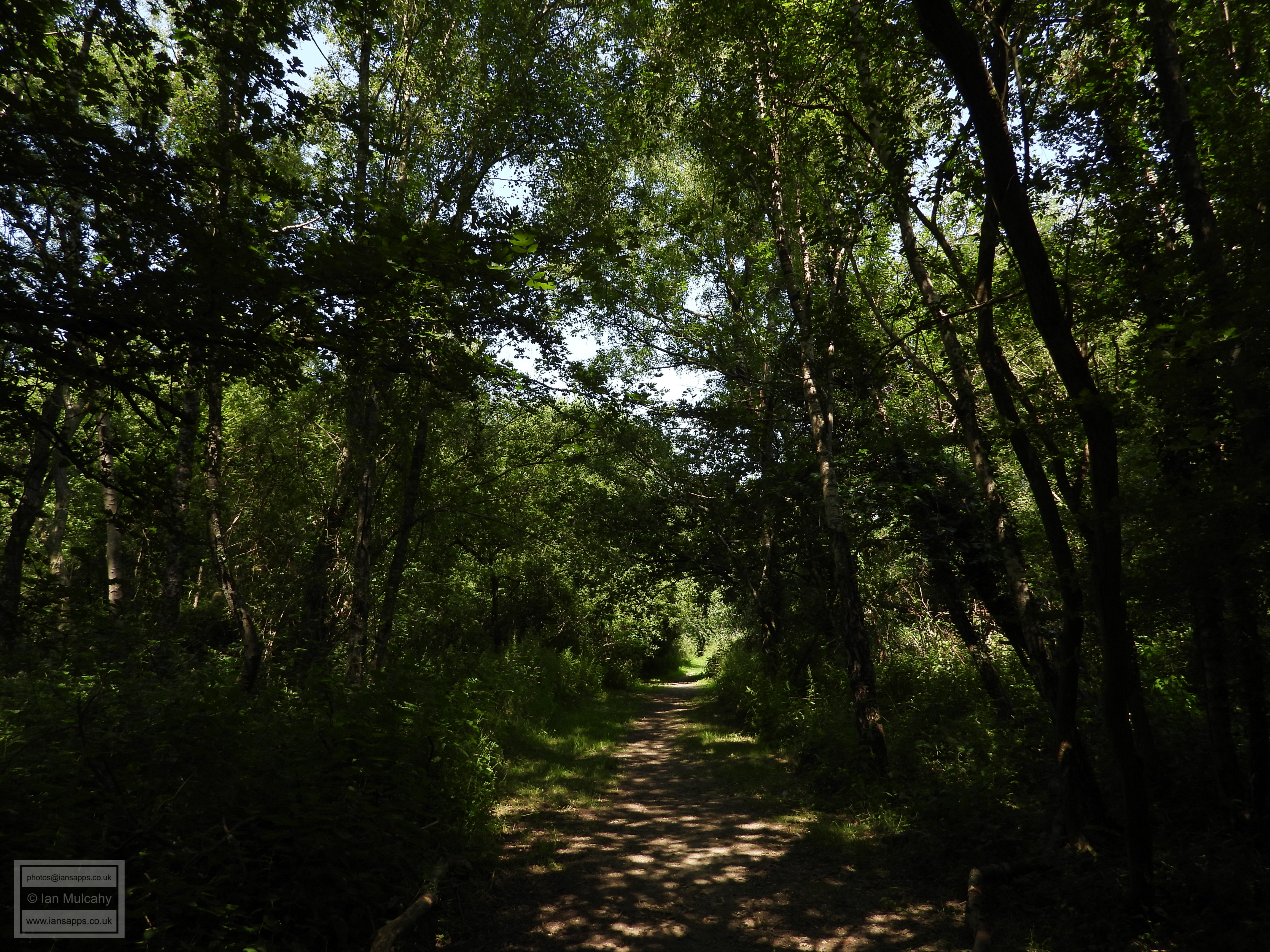
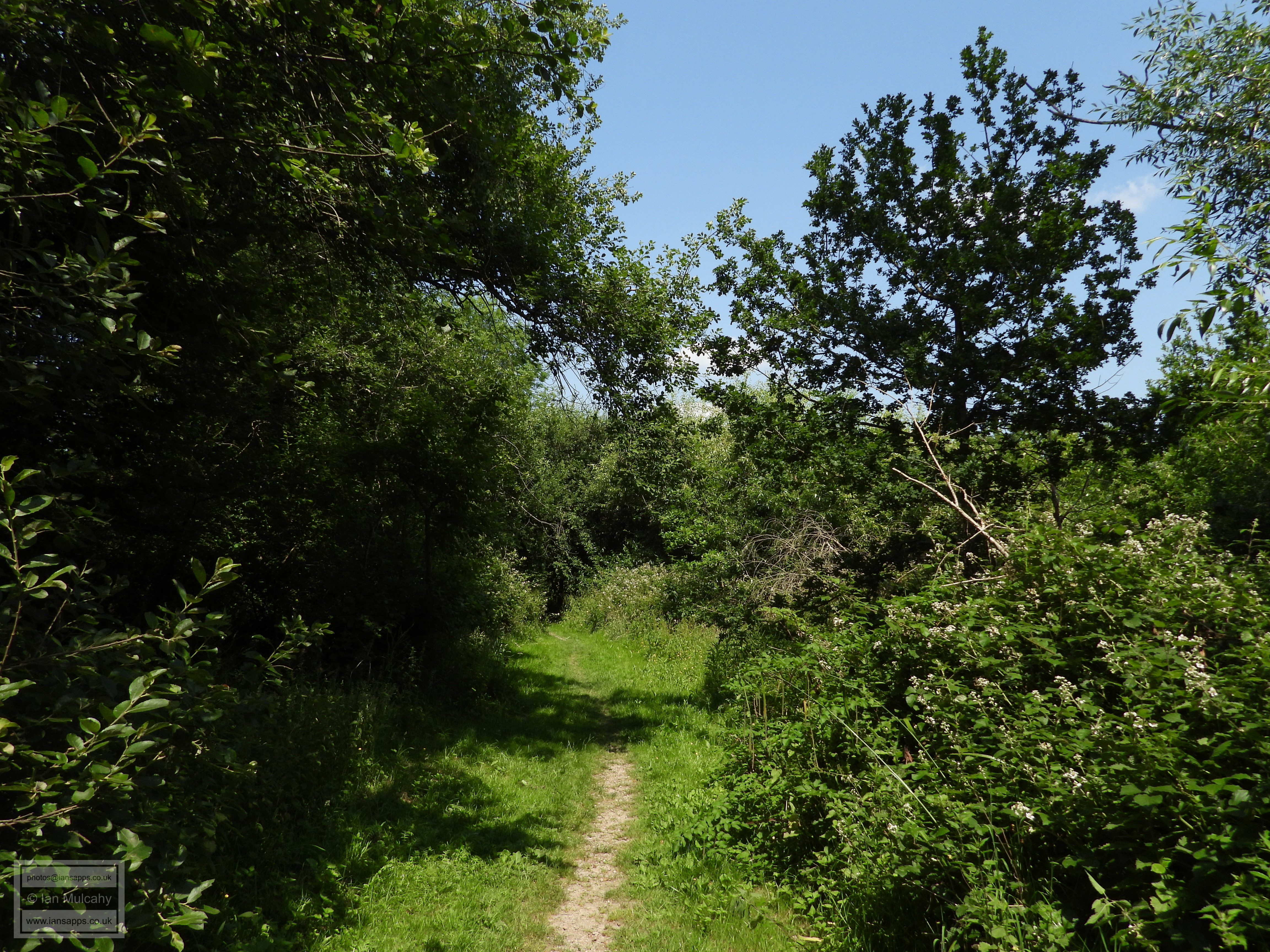
On some parts of the walk the parish boundary is visible to the naked eye, manifesting as small earth banks, tree lines, roads, pathways and brooks. I have included photos of these visual relics even though some are of low quality, often due to lighting issues in dense woodland or facing sunlight, which wouldn't normally make the cut. I felt it was important to include these as this page is about the parish boundary, not just pretty photos (though hopefully you'll feel that I've included some of those too).
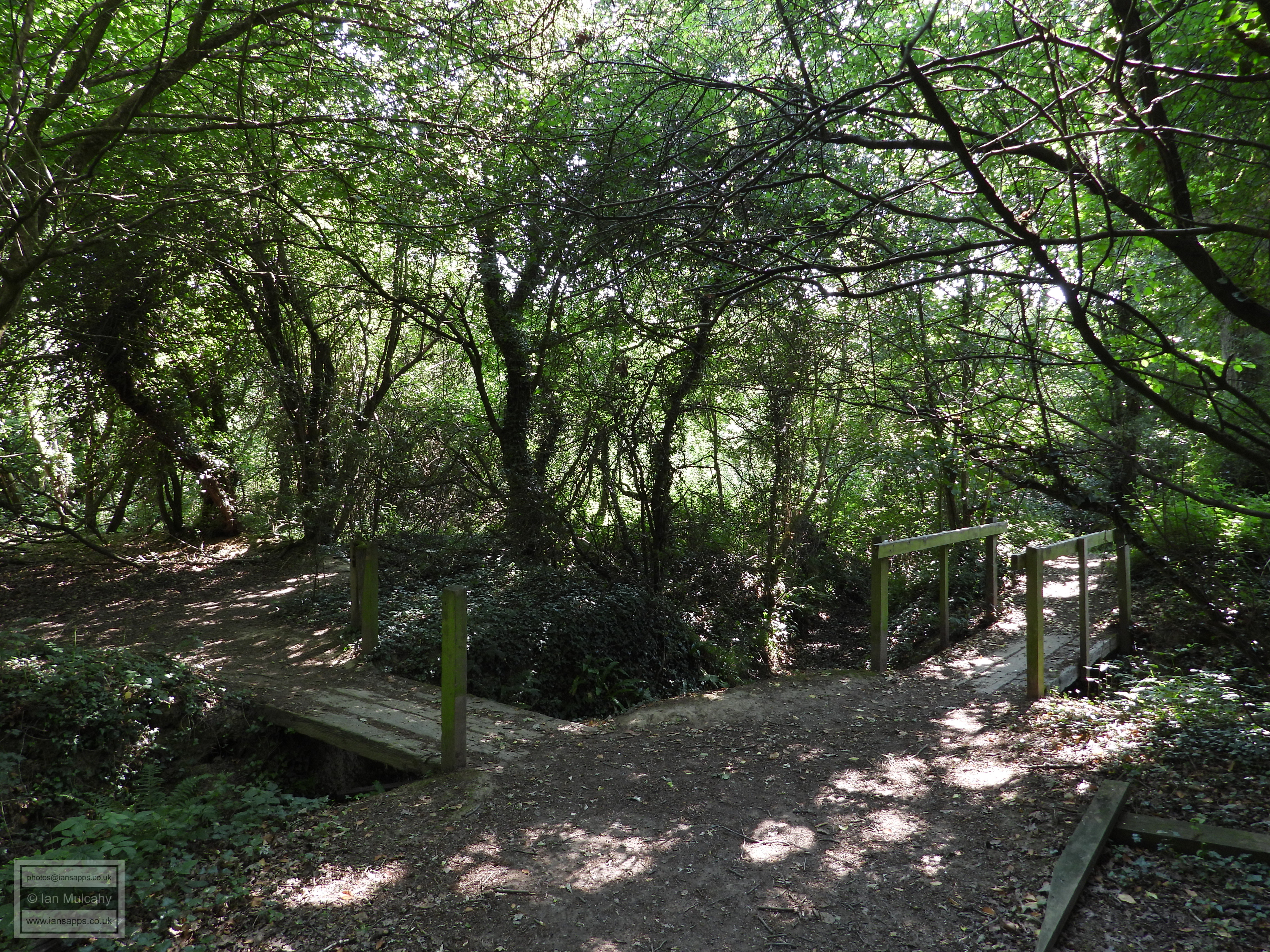
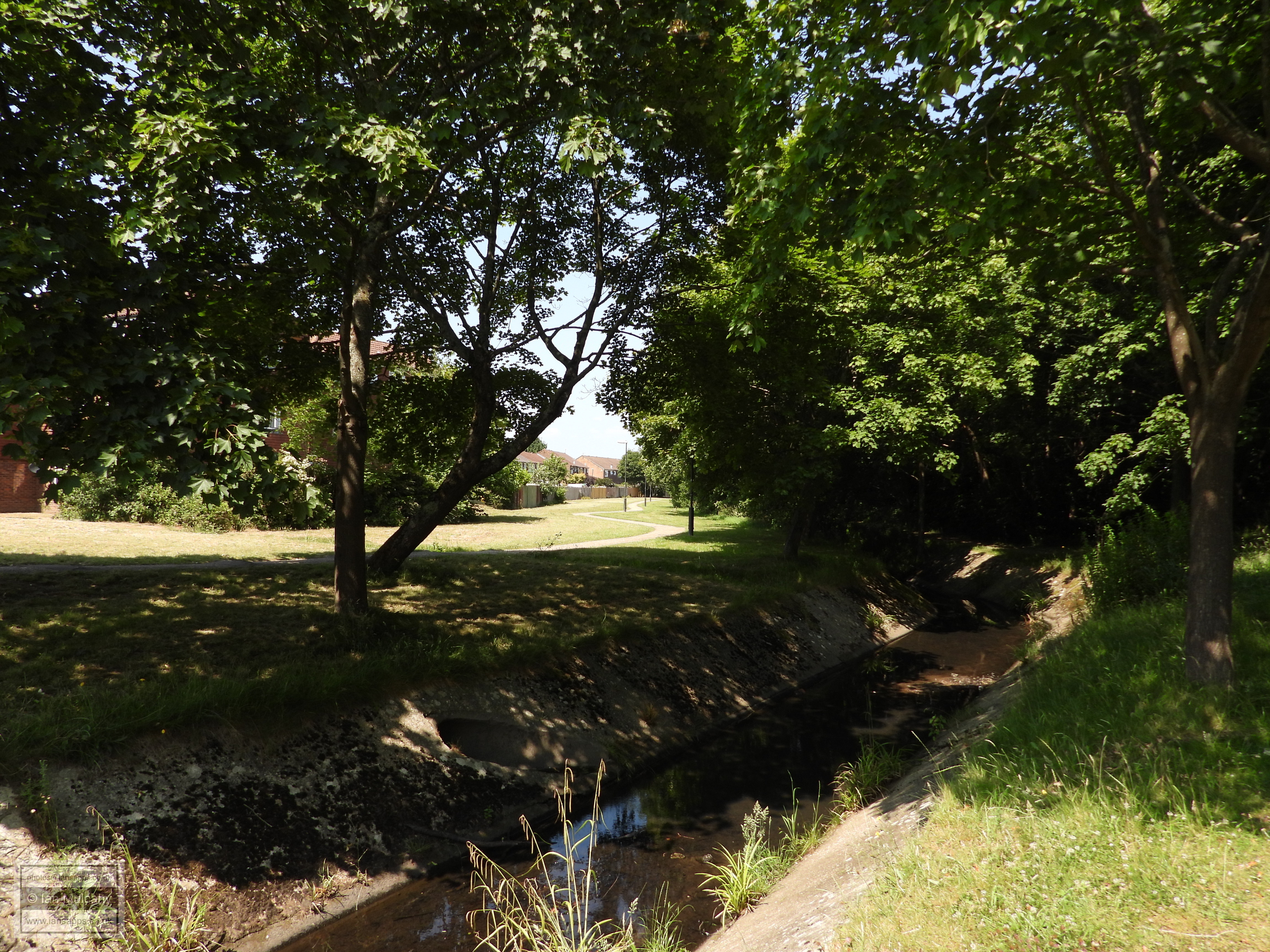
My starting point, at 7:30am, was in the Water Gardens in Bewbush, by the footbridge near the end of St Francis Walk. At the time of the tithe map, in around 1840, this was on the boundary of Ifield and Lower Beeding (Bewbush Tithing). For a history of this parish, please see The Hidden History of Bewbush
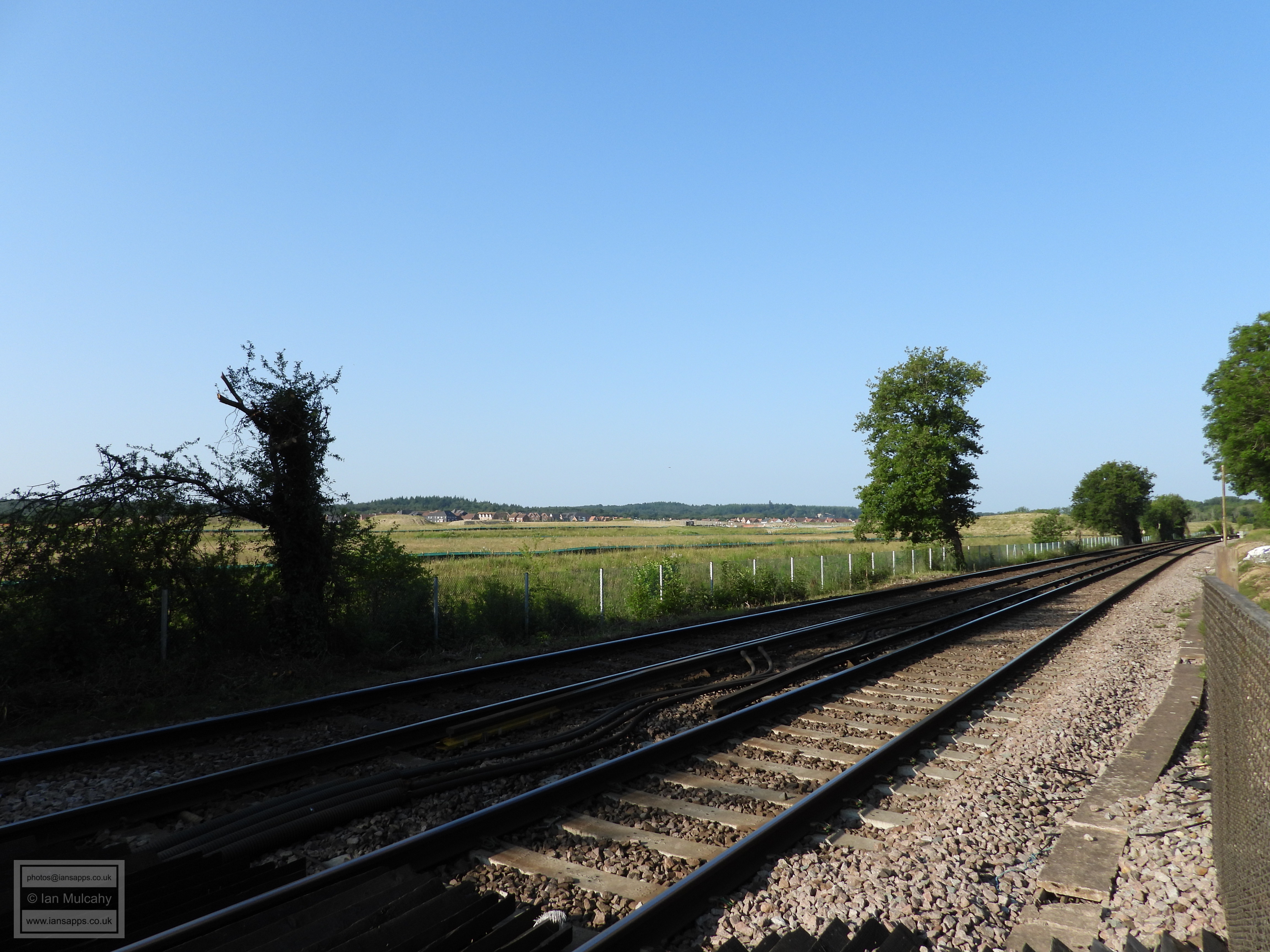
Heading westwards from my starting point, I turned northwards onto Mill Lane near the site of, the now demolished, Bewbush Mill and Mill Farm and crossed the railway using the footcrossing.
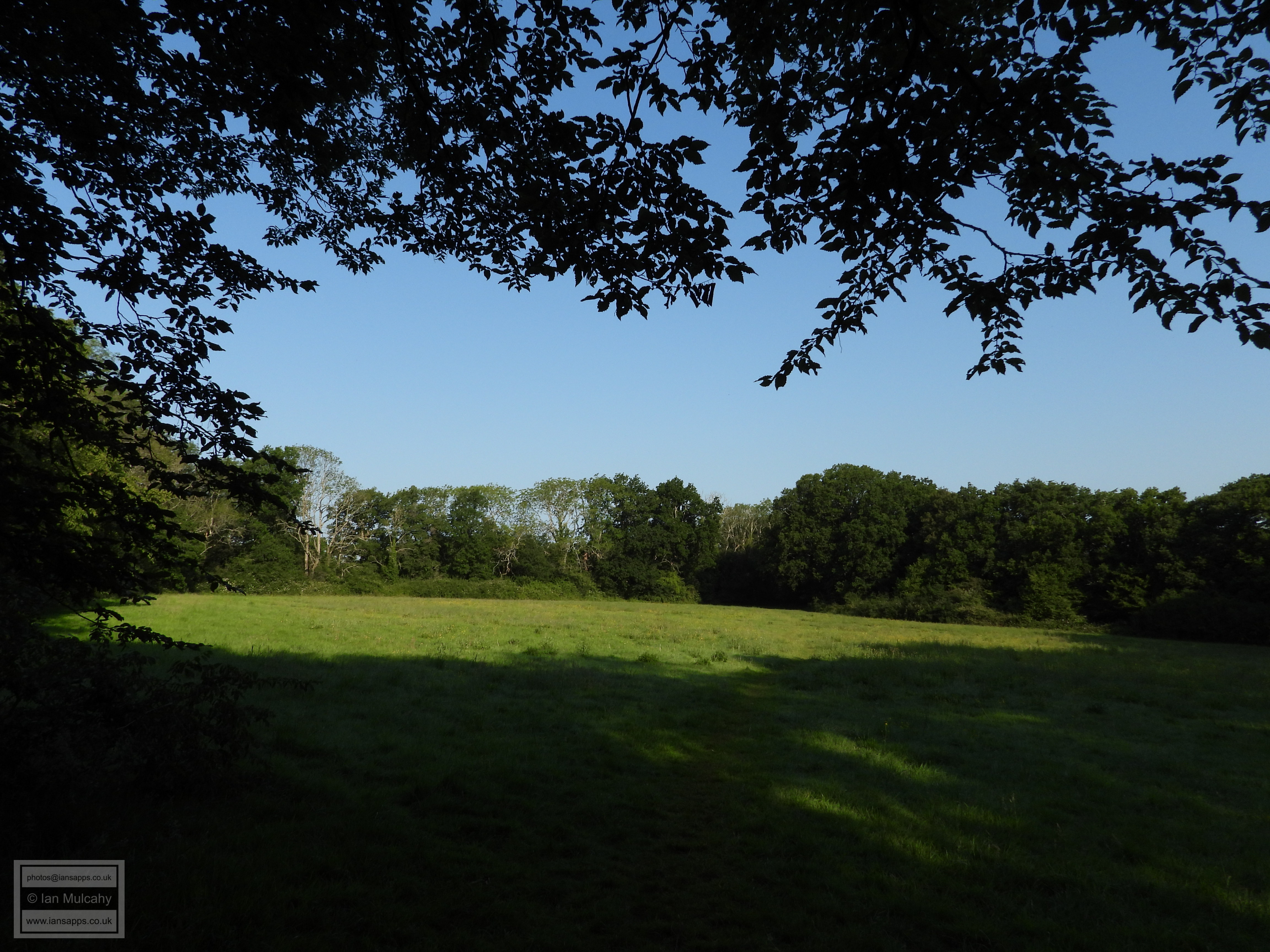
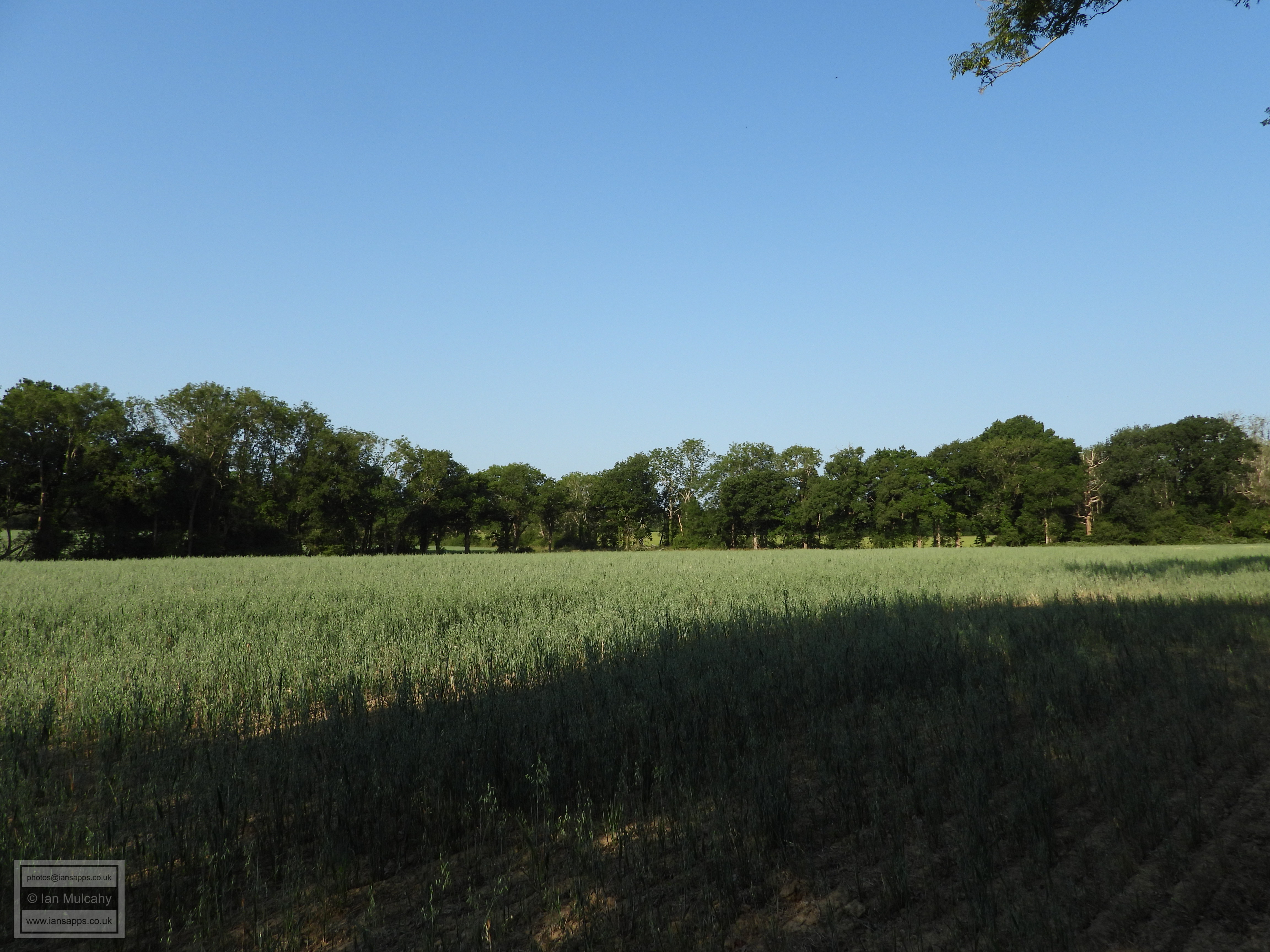
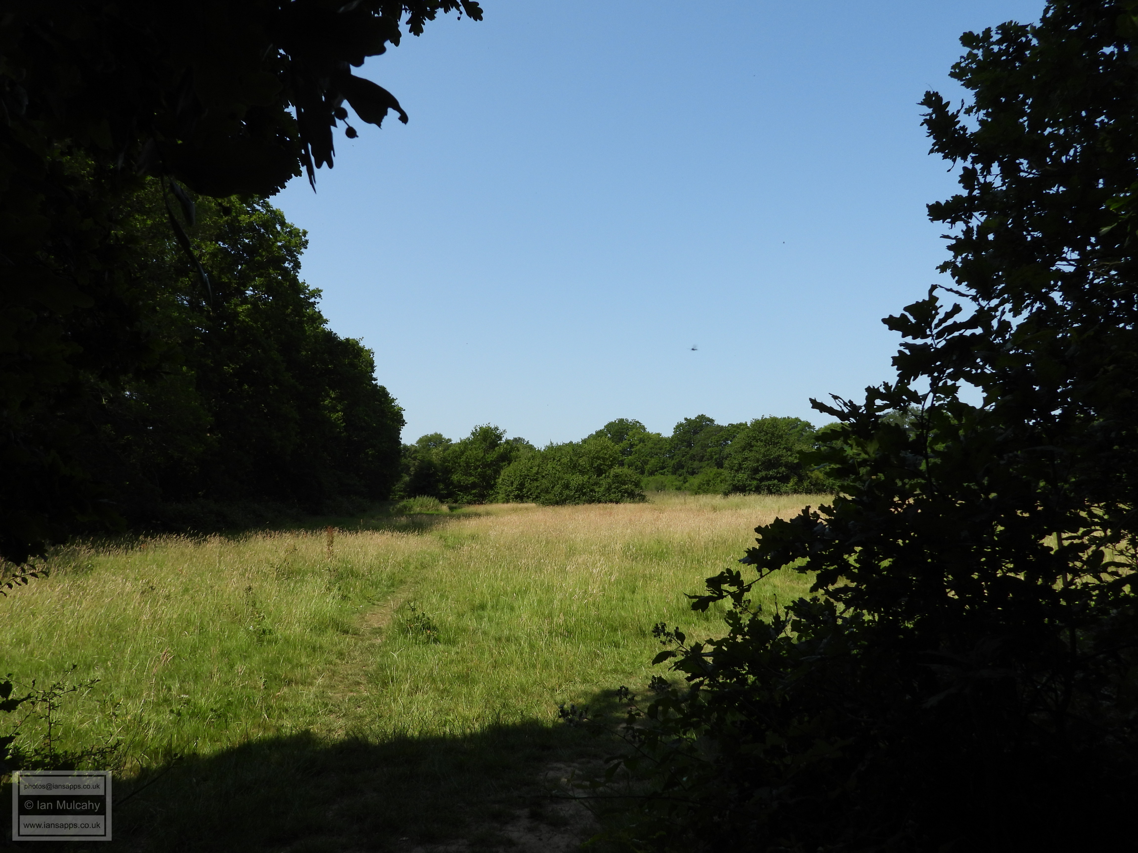
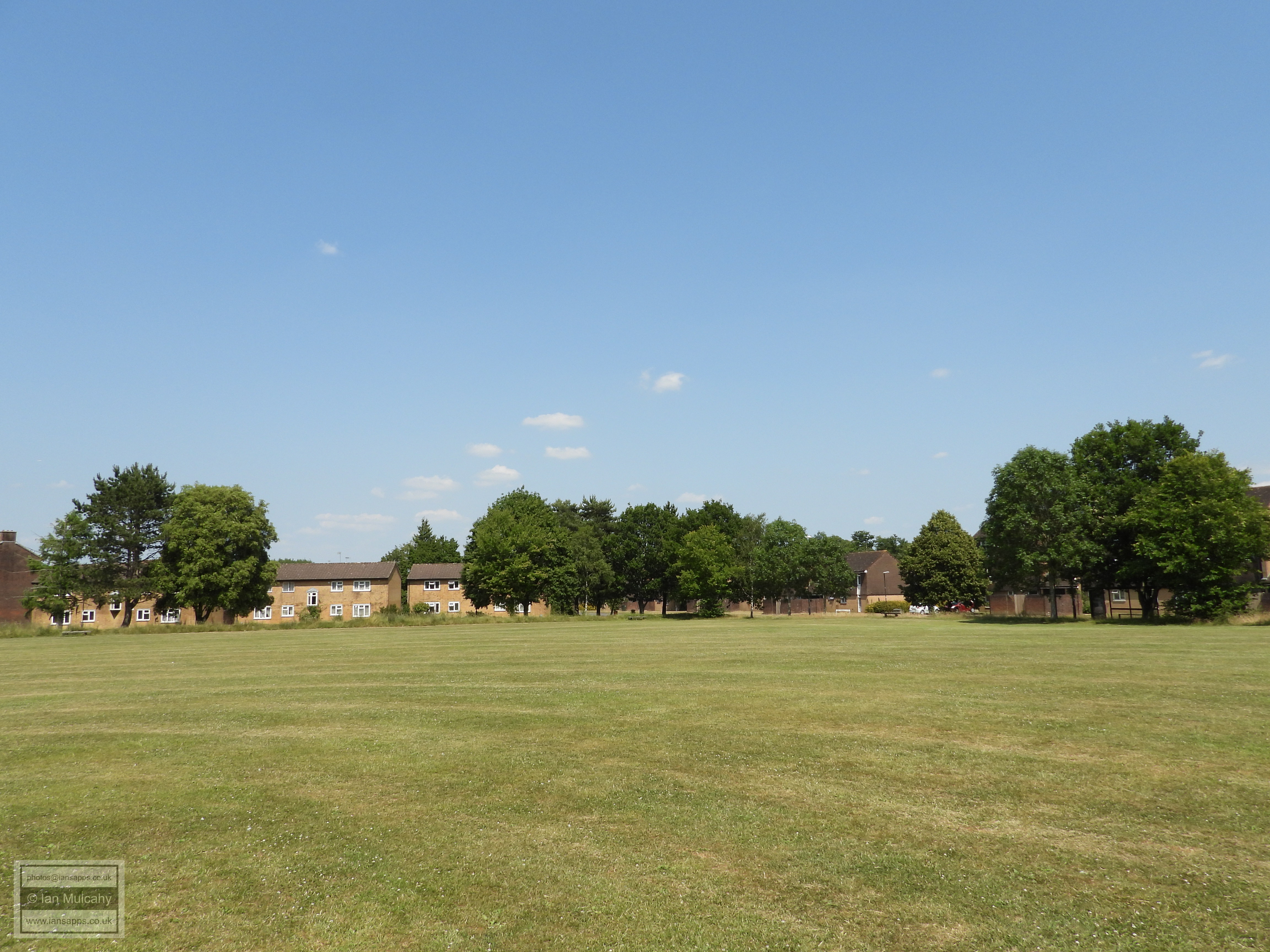
At the top of the hill, I left Mill Lane to follow the parish boundary across what locals refer to as 'The Football Field'. The boundary is in the line of trees separating the field from Coniston Close, on the walkers right.
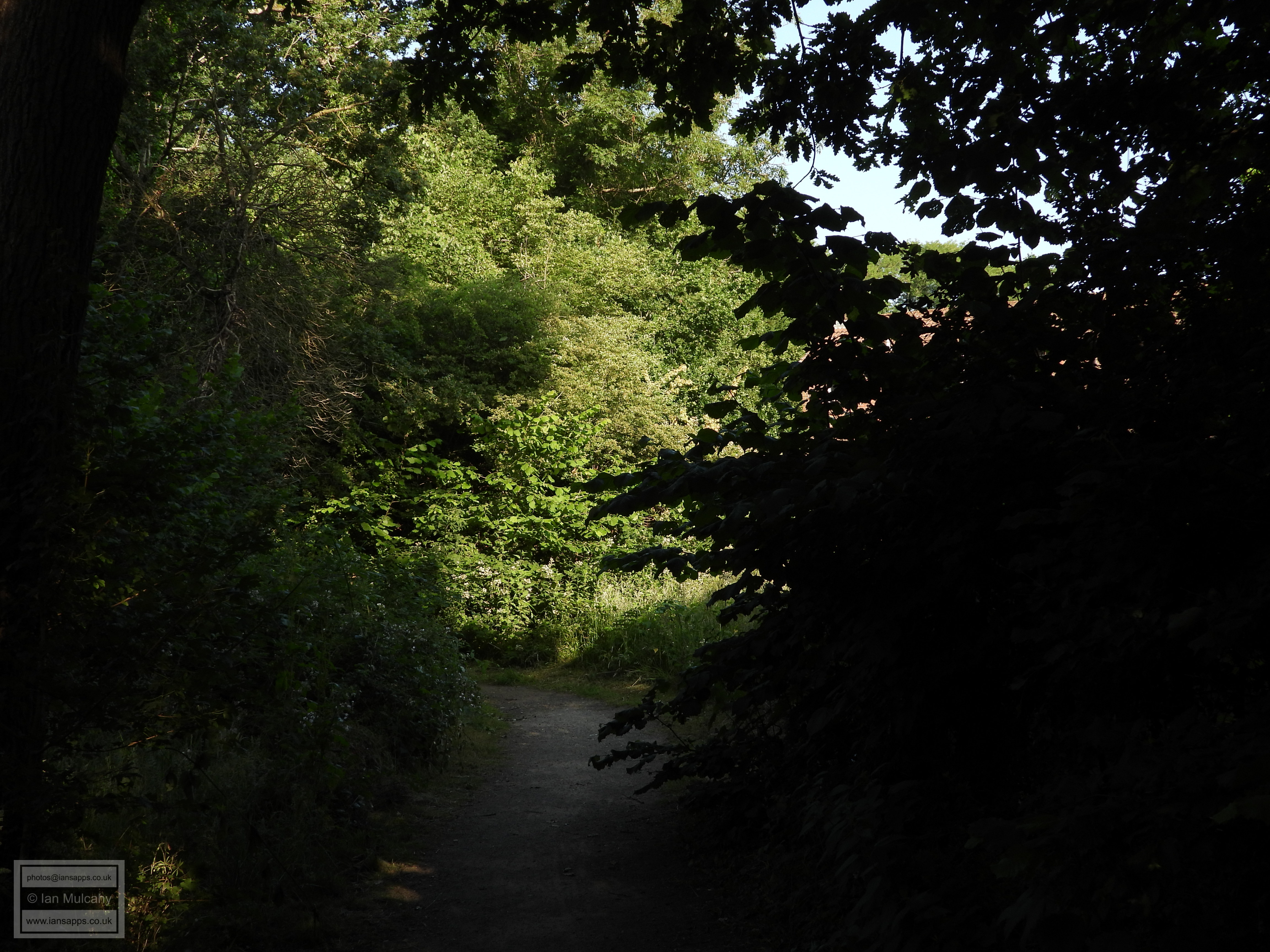
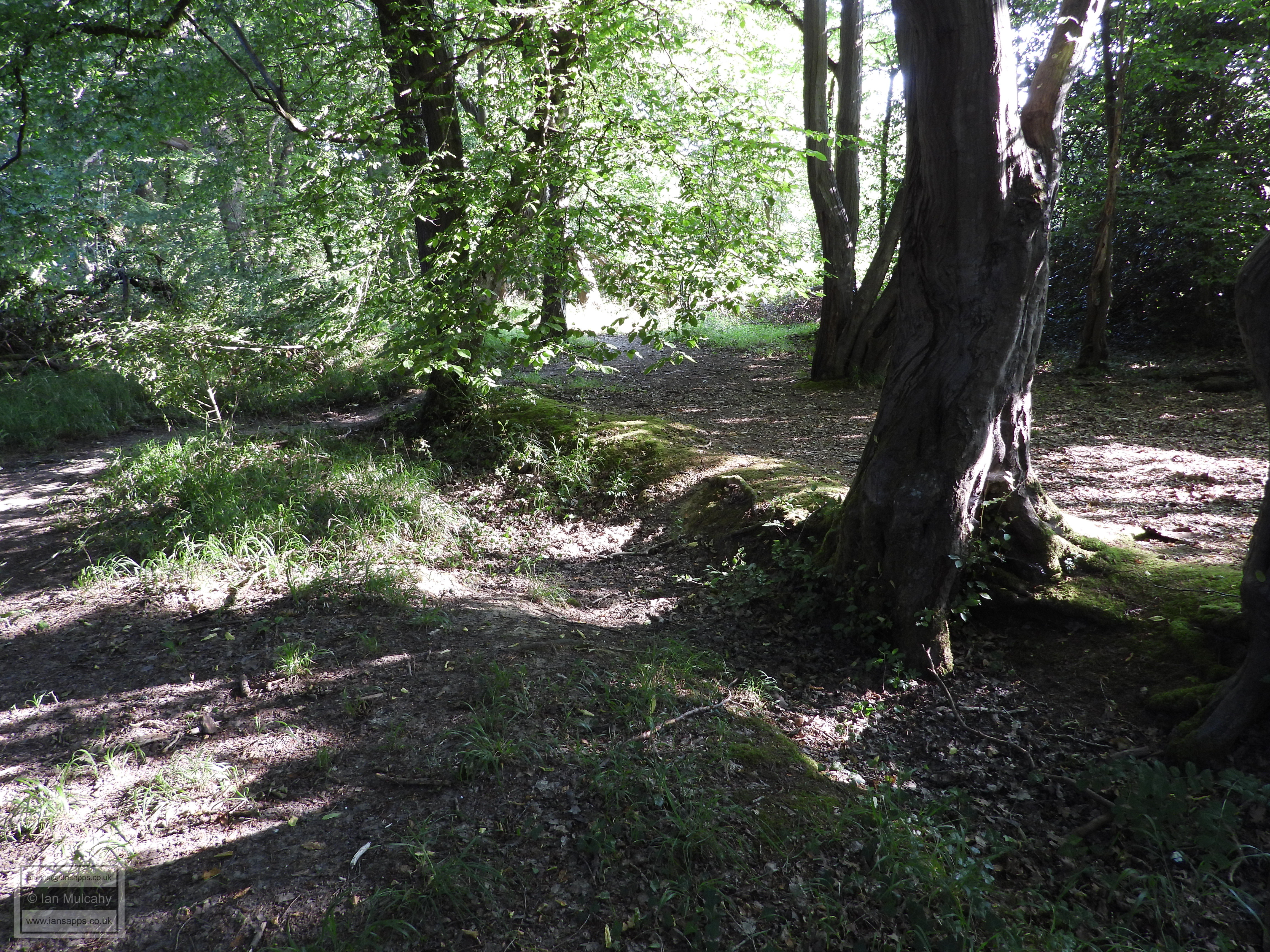
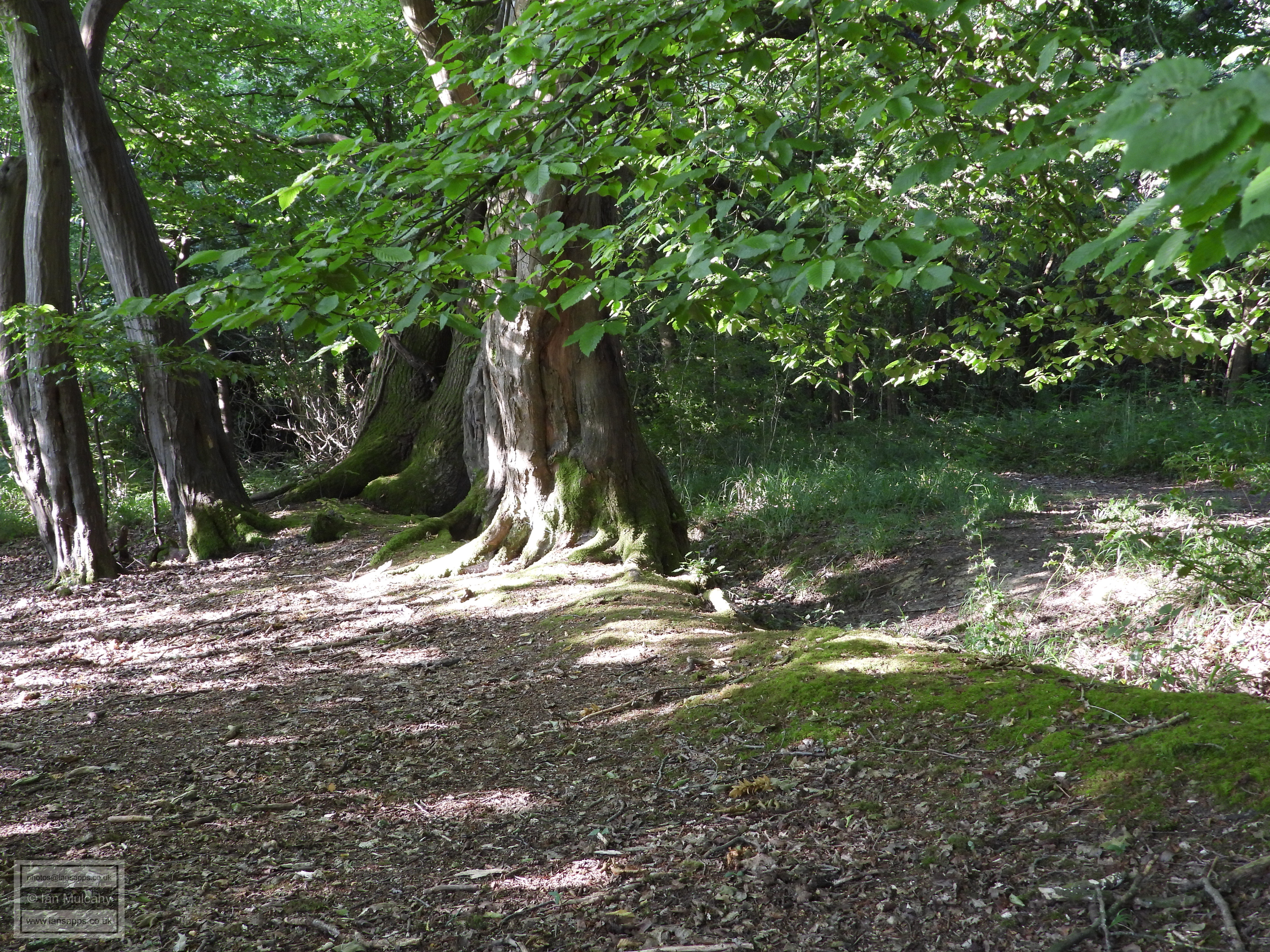
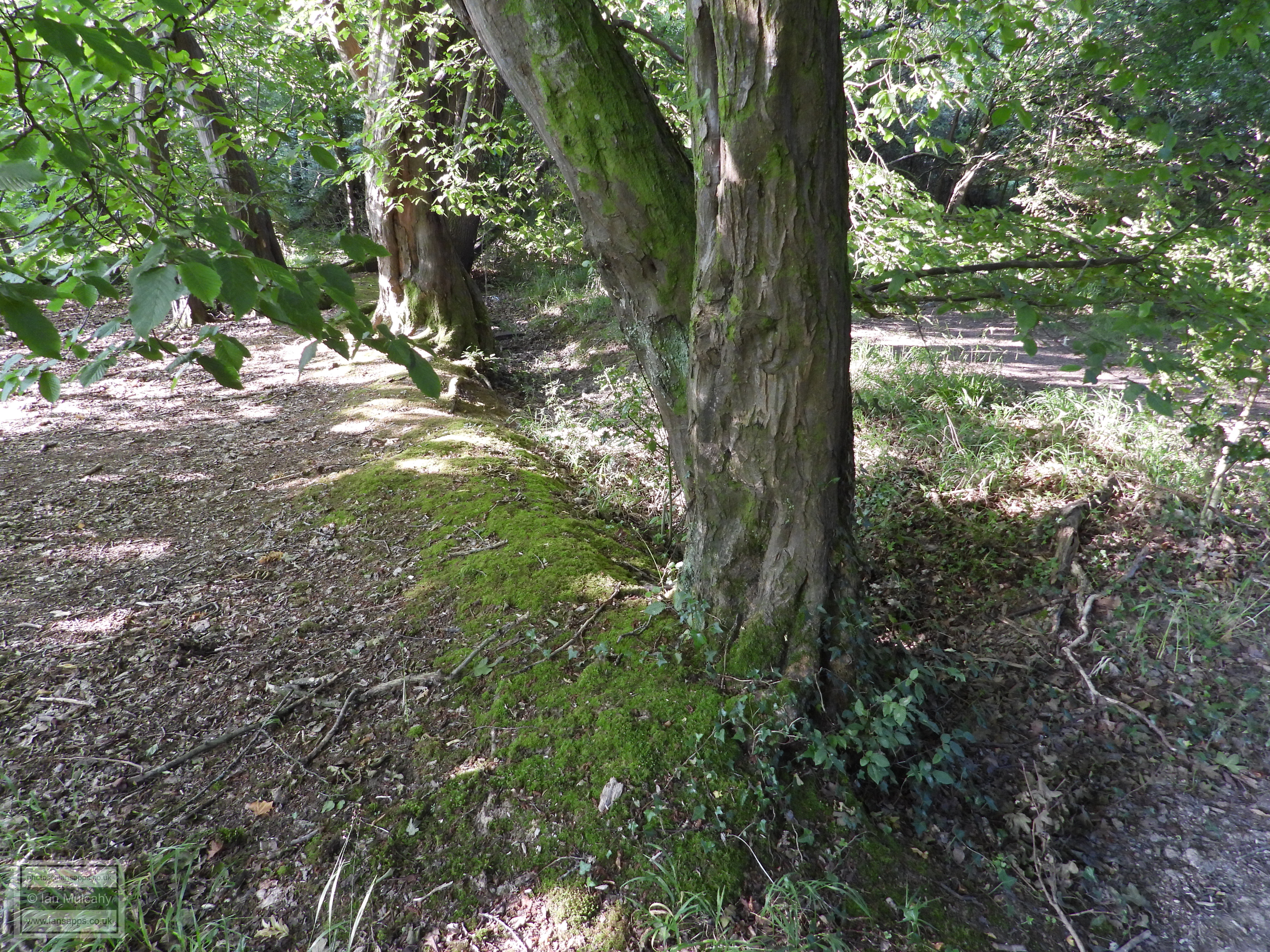
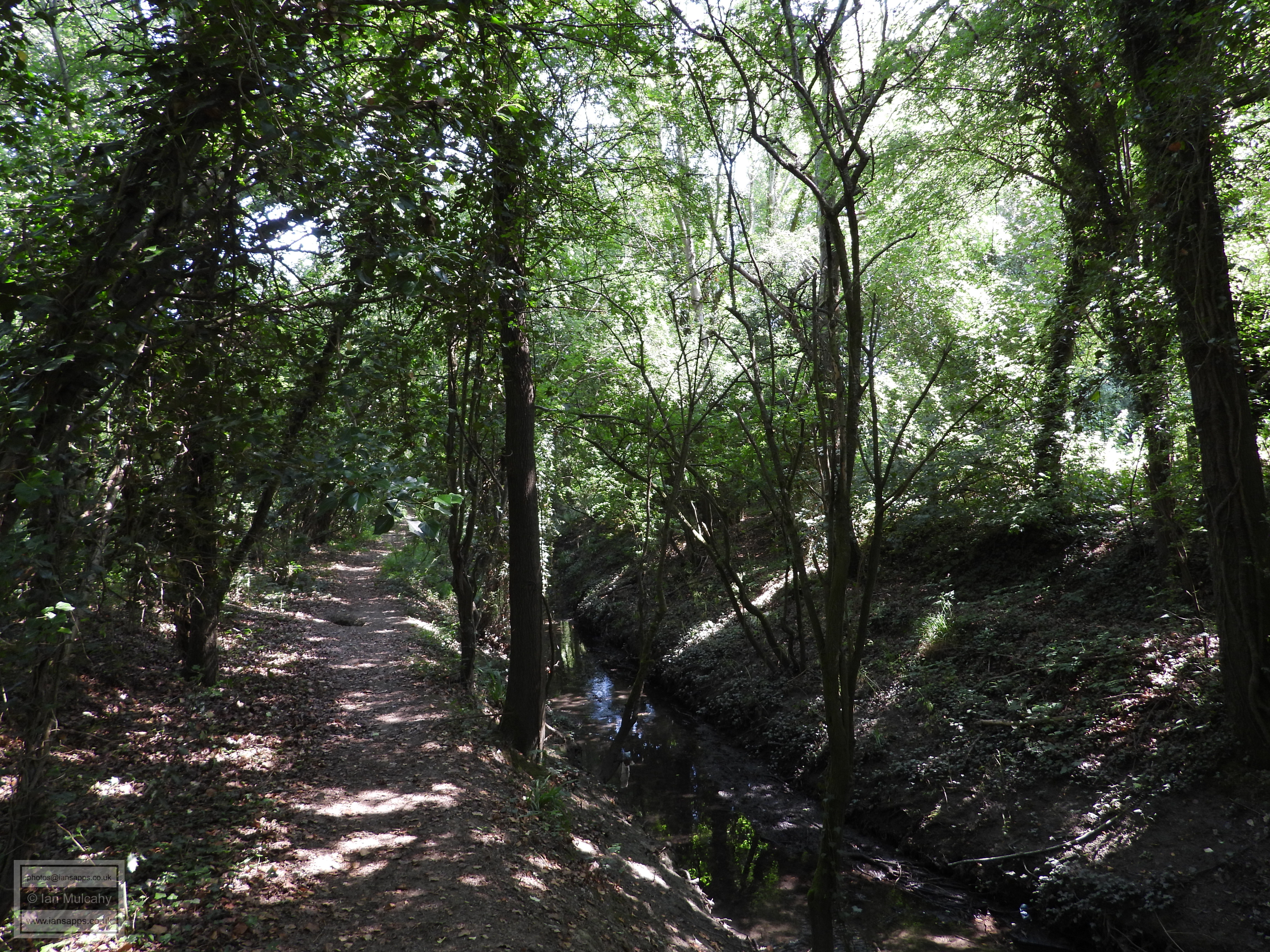
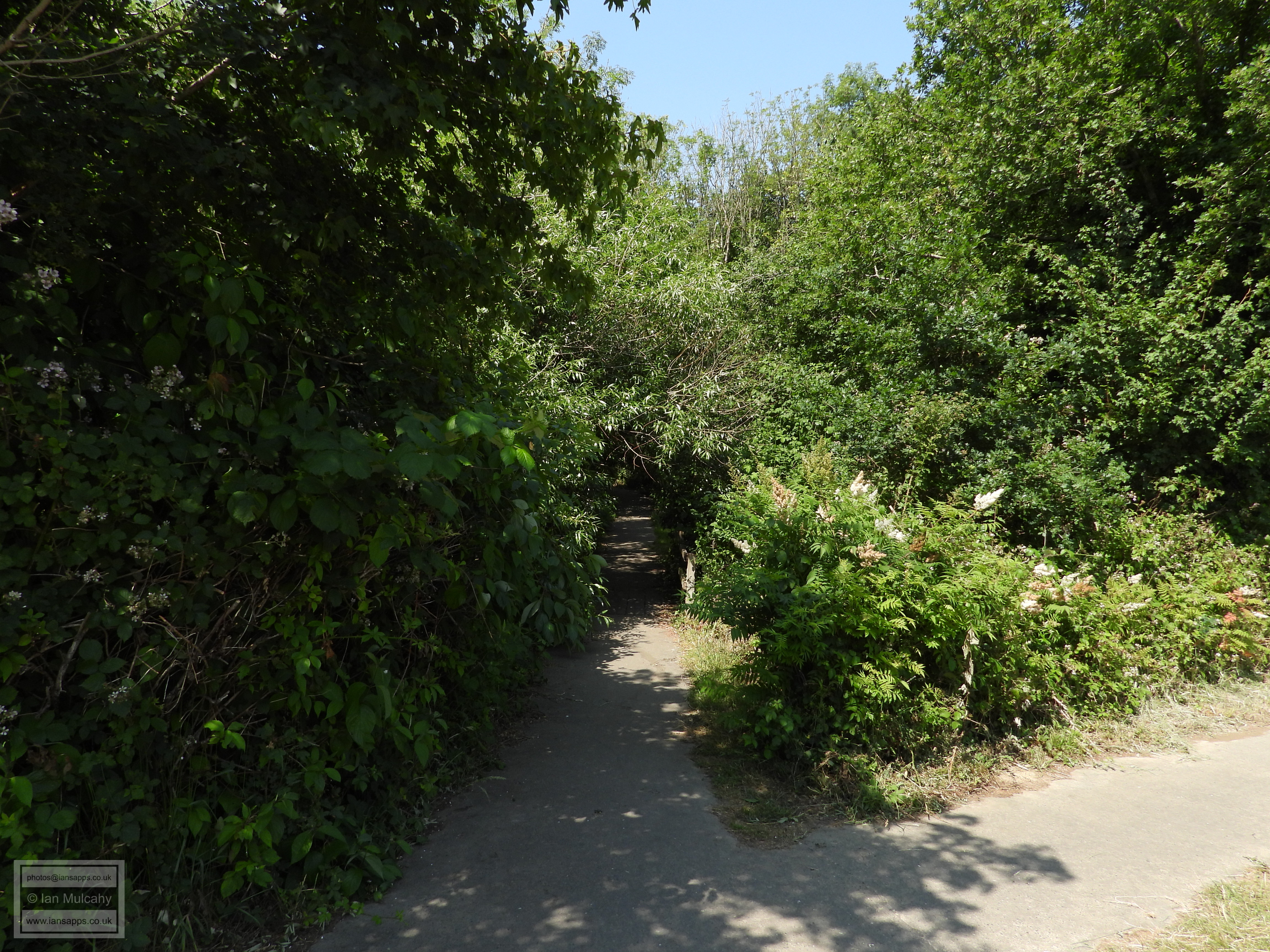
On reaching Stoneycroft path, I went straight ahead into the southern edges of Hyde Hill Woods where the parish boundary is clearly visible for the first time, showing as small earth bank and shallow ditch. This bank survives, virtually complete and at varying heights, for the next two thirds of a mile.
Please note that the public do not have a right of way through Hyde Hill Woods. If you wish to stick to public rights of way, then you should turn left onto Stoneycroft Path after the football field.
A particularly high section of banking to the south west of Stumbleholm Farm. The photo doesn't really do the size of the earthwork justice - some sections are between 2 and 3 feet high here. With the Bewbush Tithing of Lower Beeding having been a Norman (and maybe earlier) Manor, it is quite possible that these earthworks could be anything up to a thousand years old. Medieval deer parks were often surrounded by a ditch and an earth bank with a wooden pale (fence) on top. Could this be a section of such a structure, or is it just a boundary marker? An archaeological dig here could be interesting...
After this part of the boundary, shortly before I reached the tri-parish boundary junction where Ifield, Rusper and Lower Beeding Parishes all meet I veered north back to the public right of way, joining the footpath that links Stumbleholm with Lambs Green, including Smugglers Lane.
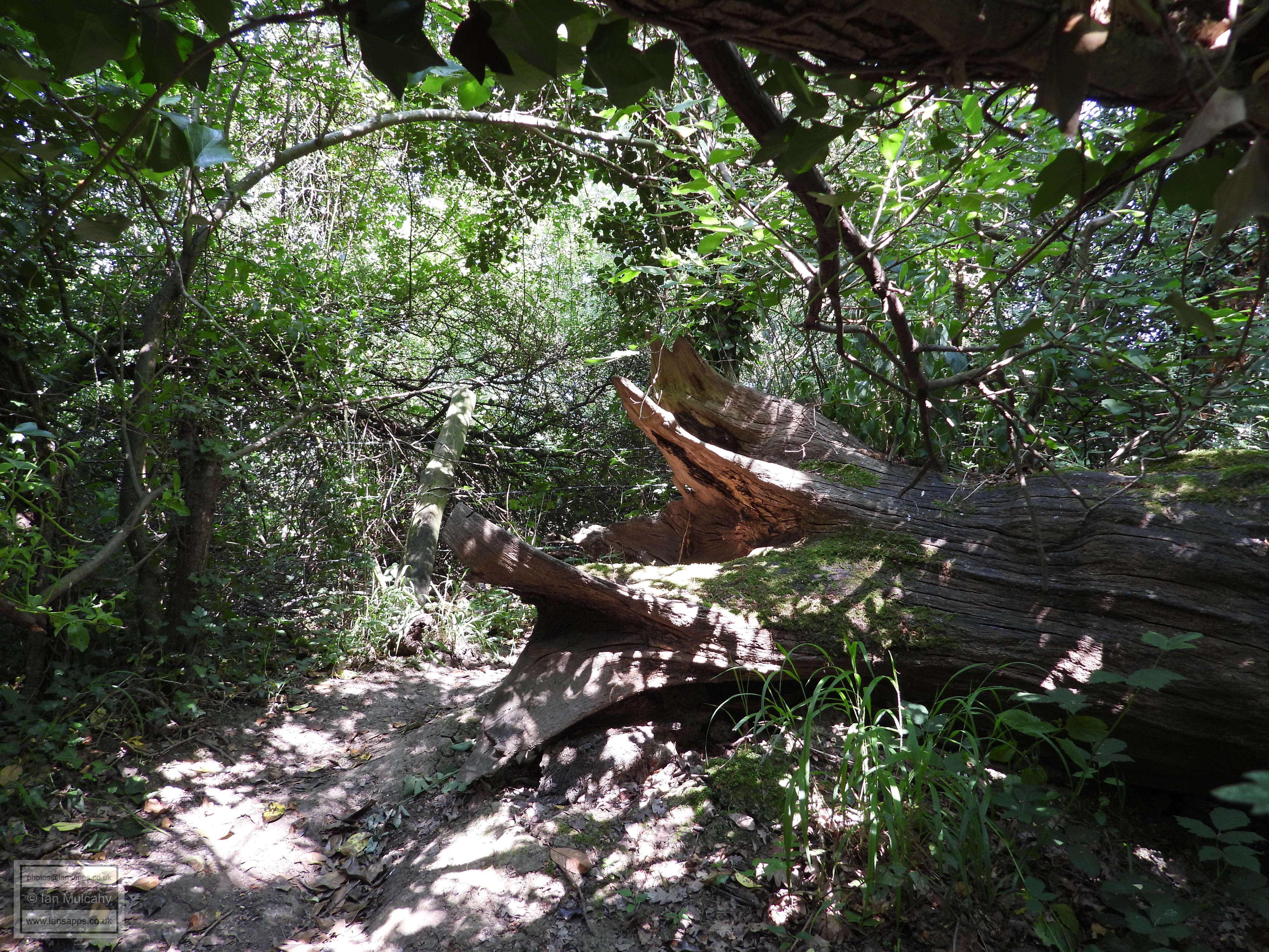
To continue following the boundary (northwards) at this point would involve fighting my way through some dense woodland, crossing the (deep cut) River Mole, over a hedgerow, across Rusper Road before encountering more dense woodland and hedgerows on my climb up to the Mount, almost opposite the entrance to Keepers Mount, so I elect to head west to Smugglers Lane and Lambs Green to join up with the route I would have taken had I followed the public right of way to Lambs Green.
The former Lamb Inn, viewed from the western end of Smugglers Lane.
My next stop was The Mount, via Langhurst Lane, so I turned right along Lambs Green and at the T-Junction at the end I decided to turn left and use the public footpath behind Moonrakers to access Langhurst Lane, mainly from a safety point of view as to turn right would have been to head towards a dangerous corner with little pedestrian refuge at 8:30 in the morning!
Finally at the top of the hill! The junction of Langhurst Lane, Orltons Lane and The Mount.
It would have been rude not to take a 100 metre detour along Orltons Lane to take some pictures of Peters Farm, a late 16th century Farmhouse (that is currently on the market for £1,375,000).
At this point on The Mount we rejoin the parish boundary as it follows the road for around 400 metres until continuing straight ahead northwards on a bend through difficult to navigate woodland.
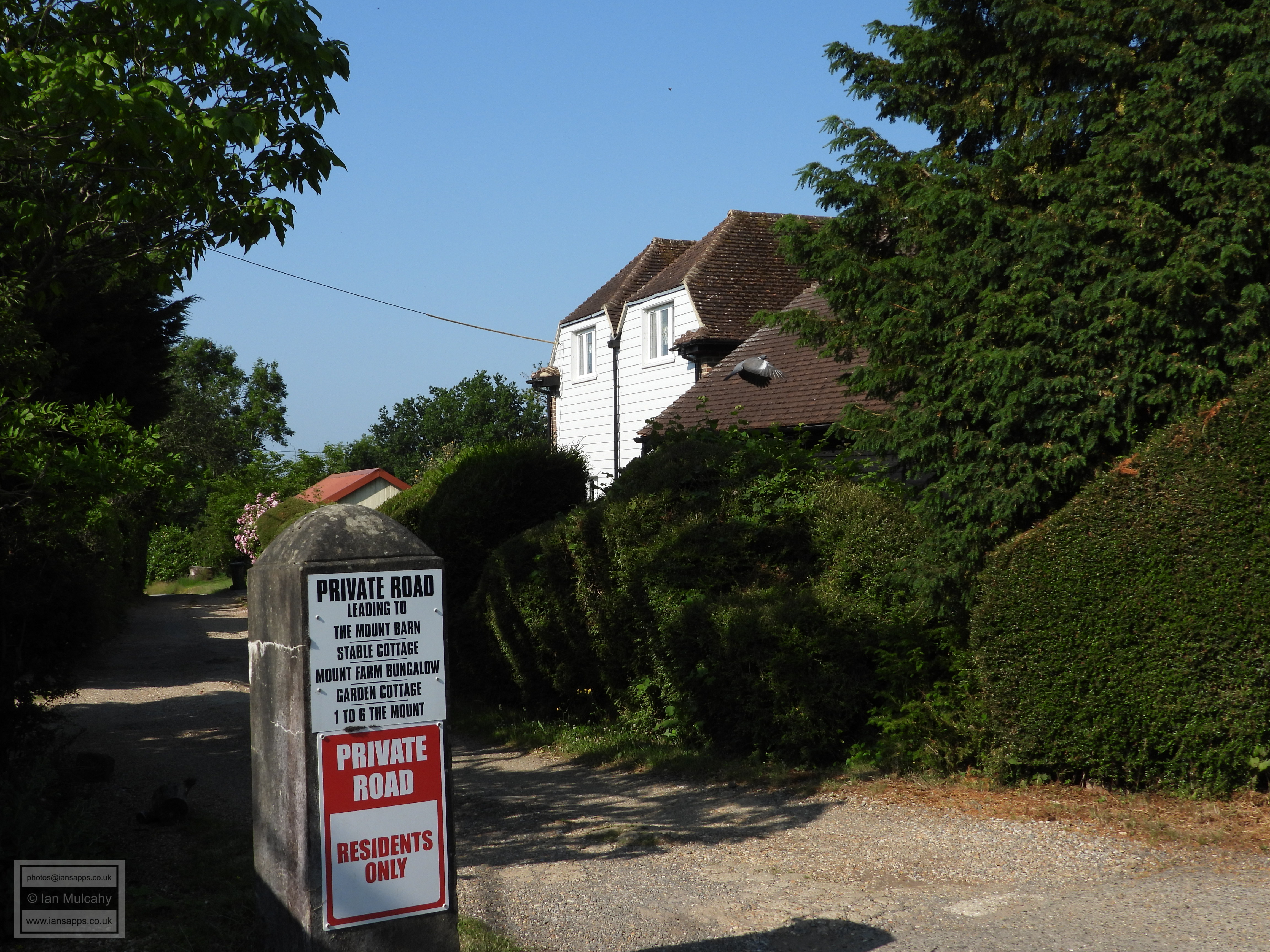
The entrance to The Mount (the house), built in the Victorian era for the Courage (of brewing fame) family.
Mount Farm, a 16th century farmhouse. The section to the right with lower roof would have been originally built as an open hall house.
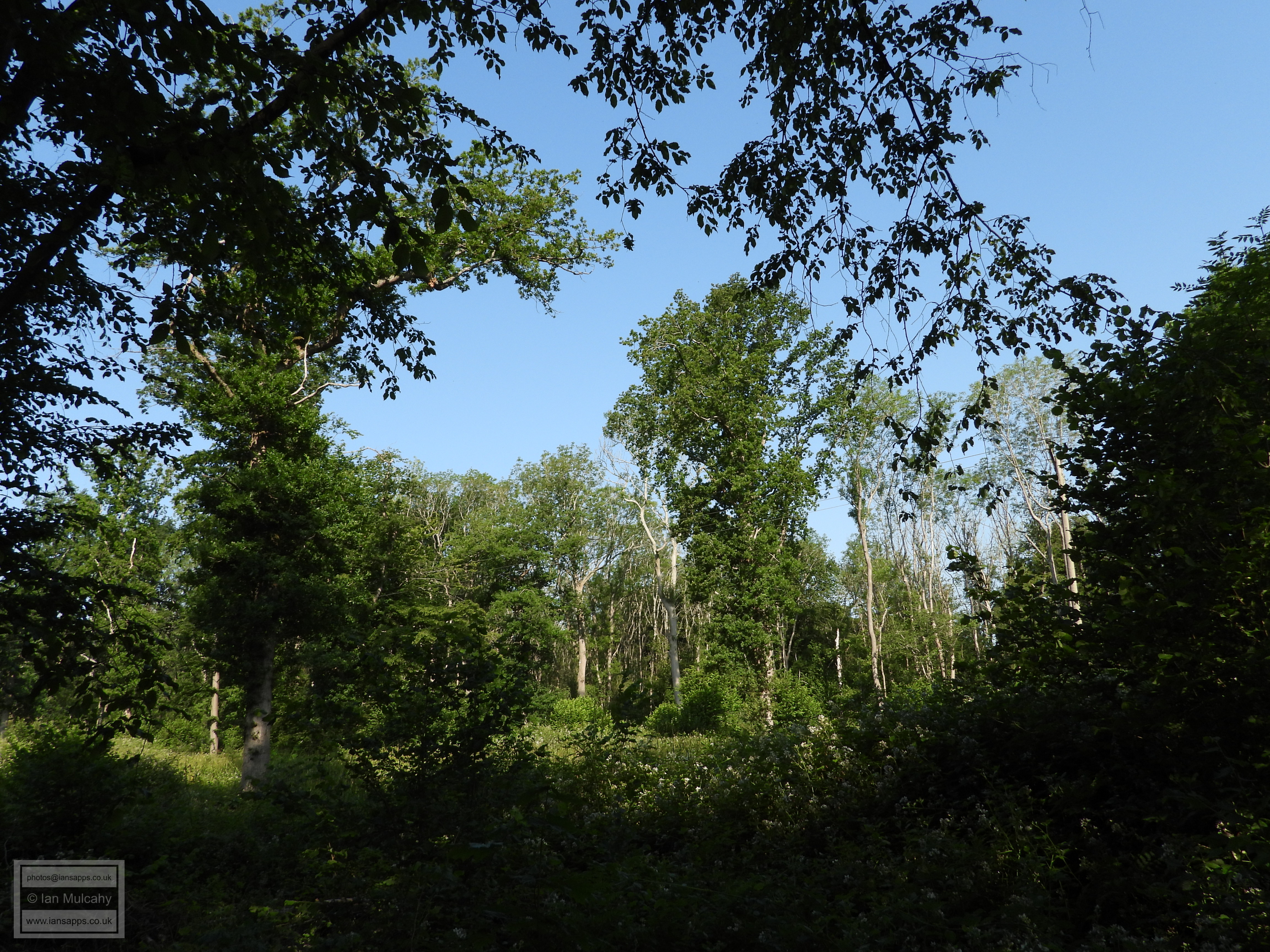
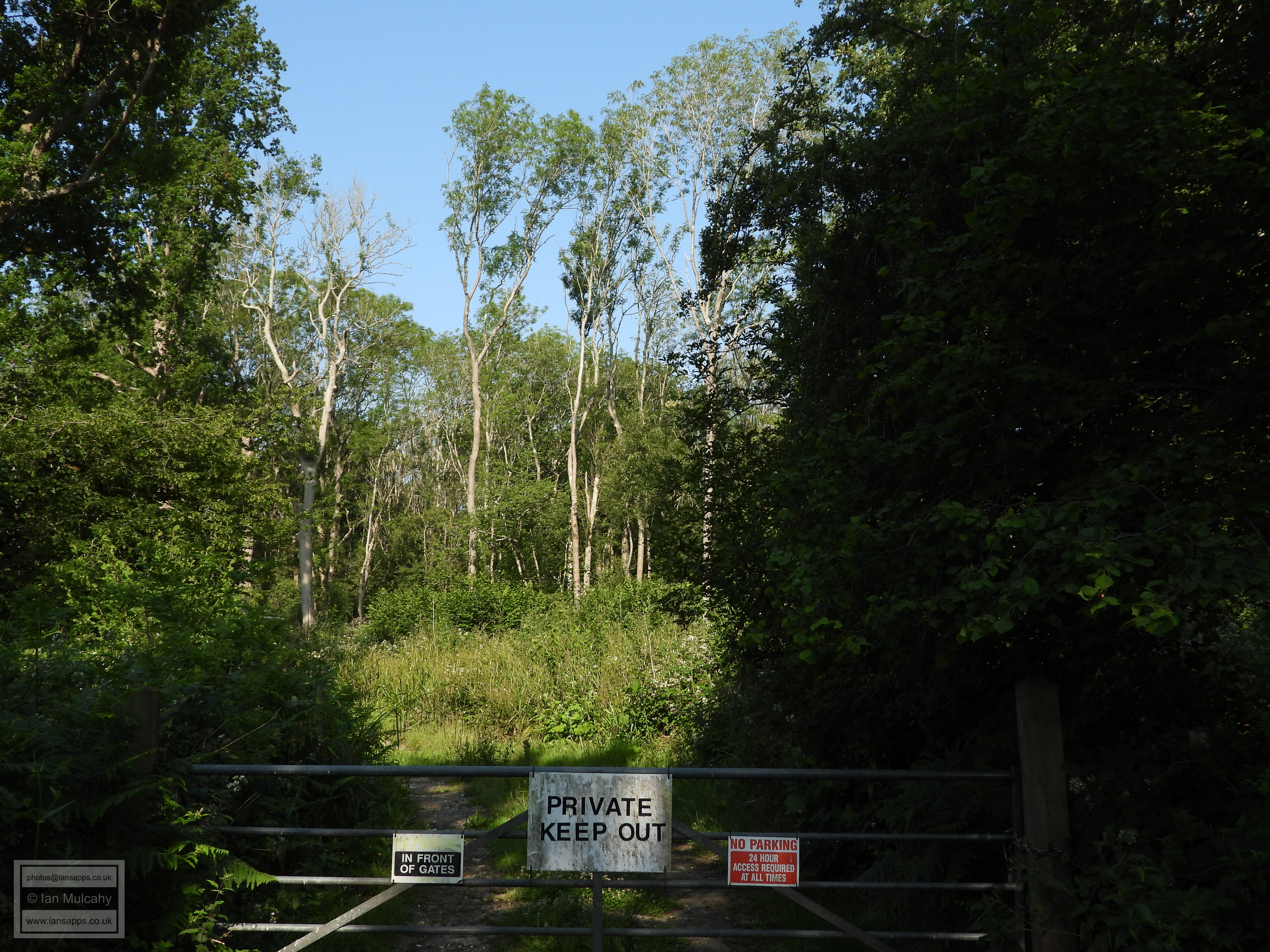
This and the previous photo are of an area of woodland called 'Tilgate' (not to be confused with the medieval gate into Worth Forest, and now a public park, in the south east of Crawley) to the west of Prestwood Lane. Prestwood is an ancient manor (Priests Wood) attached to Rusper Priory.
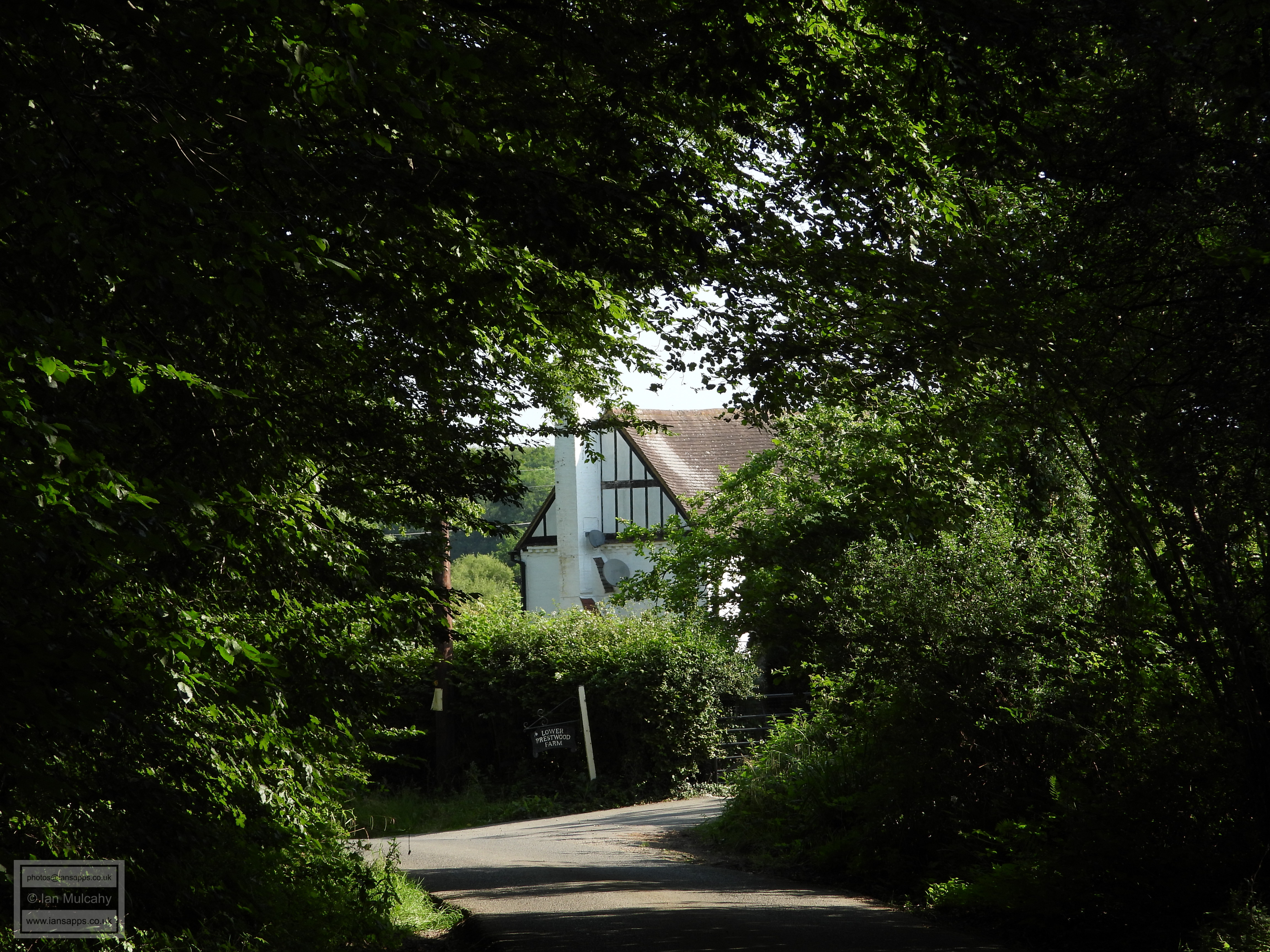
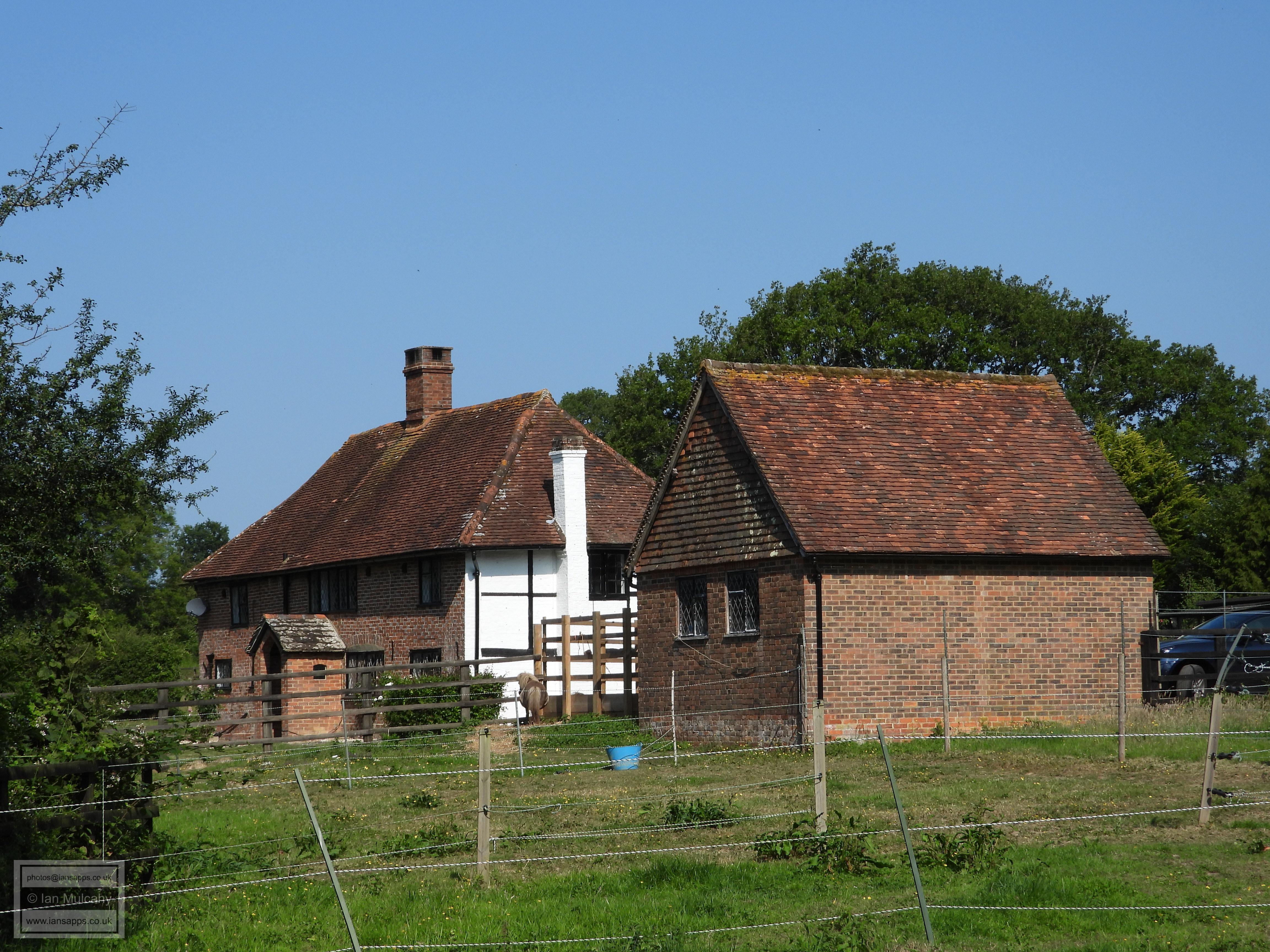
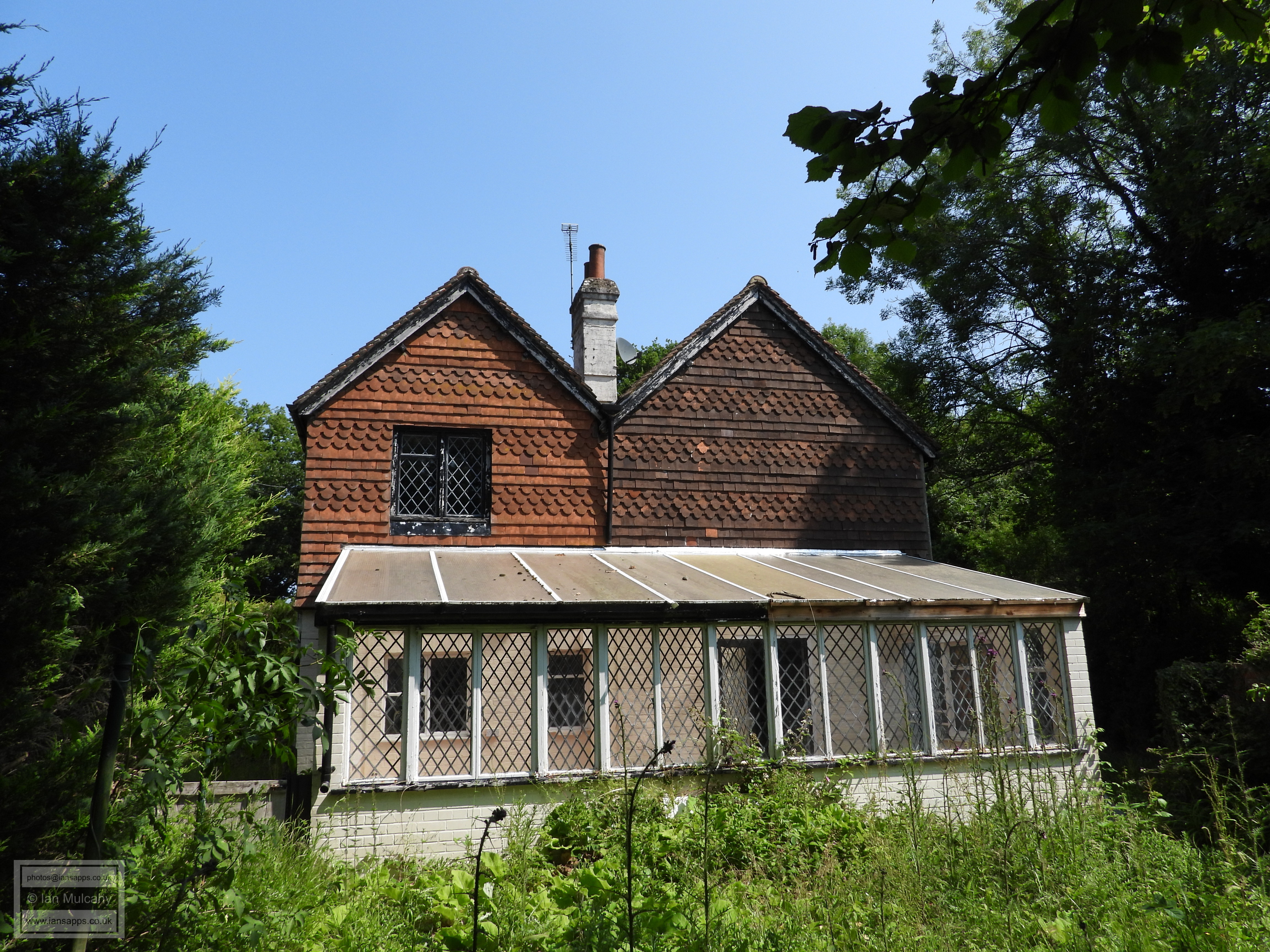
Lower Prestwood Farm, a relatively modern, for these parts, 18th century farmhouse.
Lower Prestwood farm again.
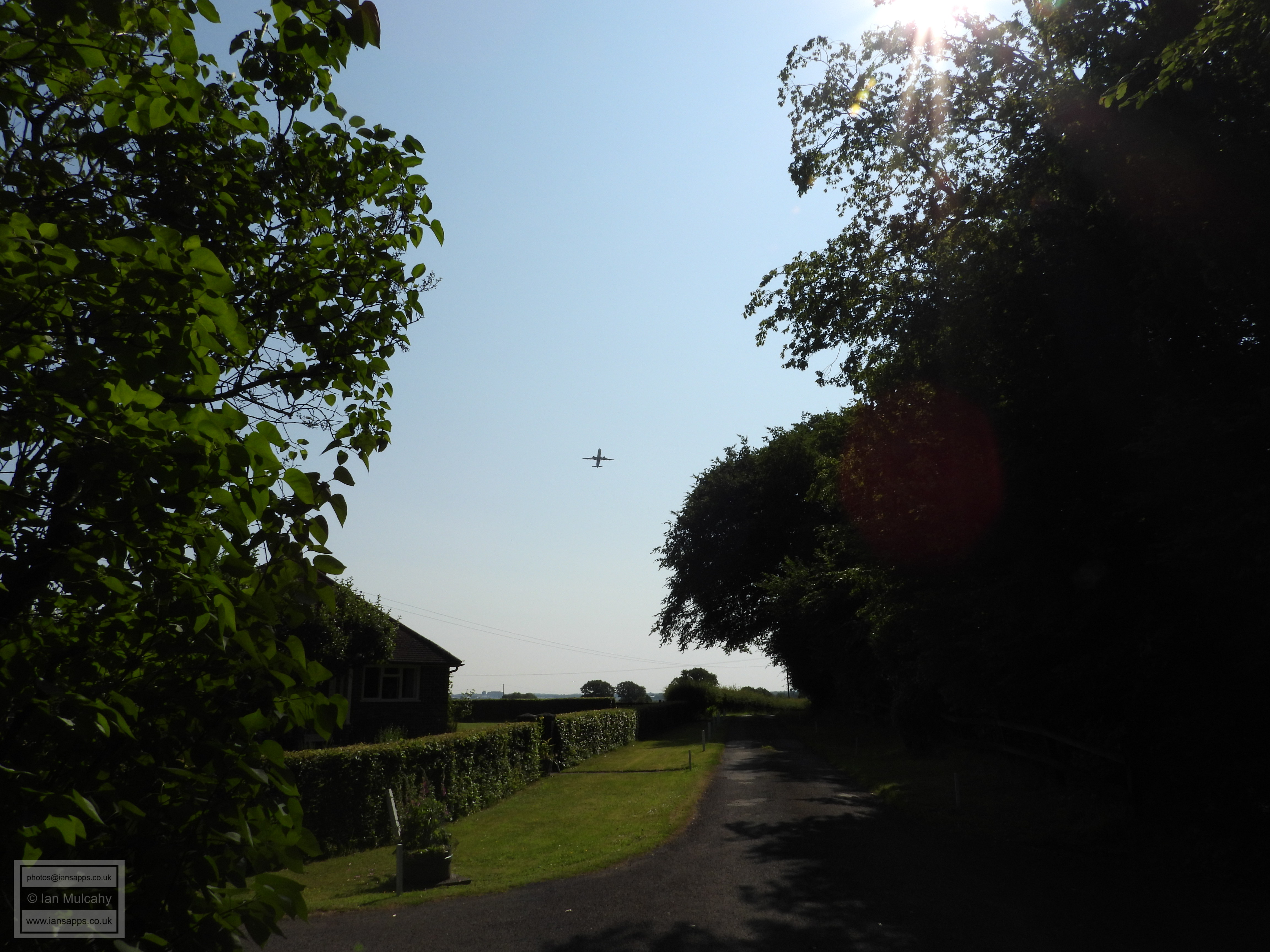
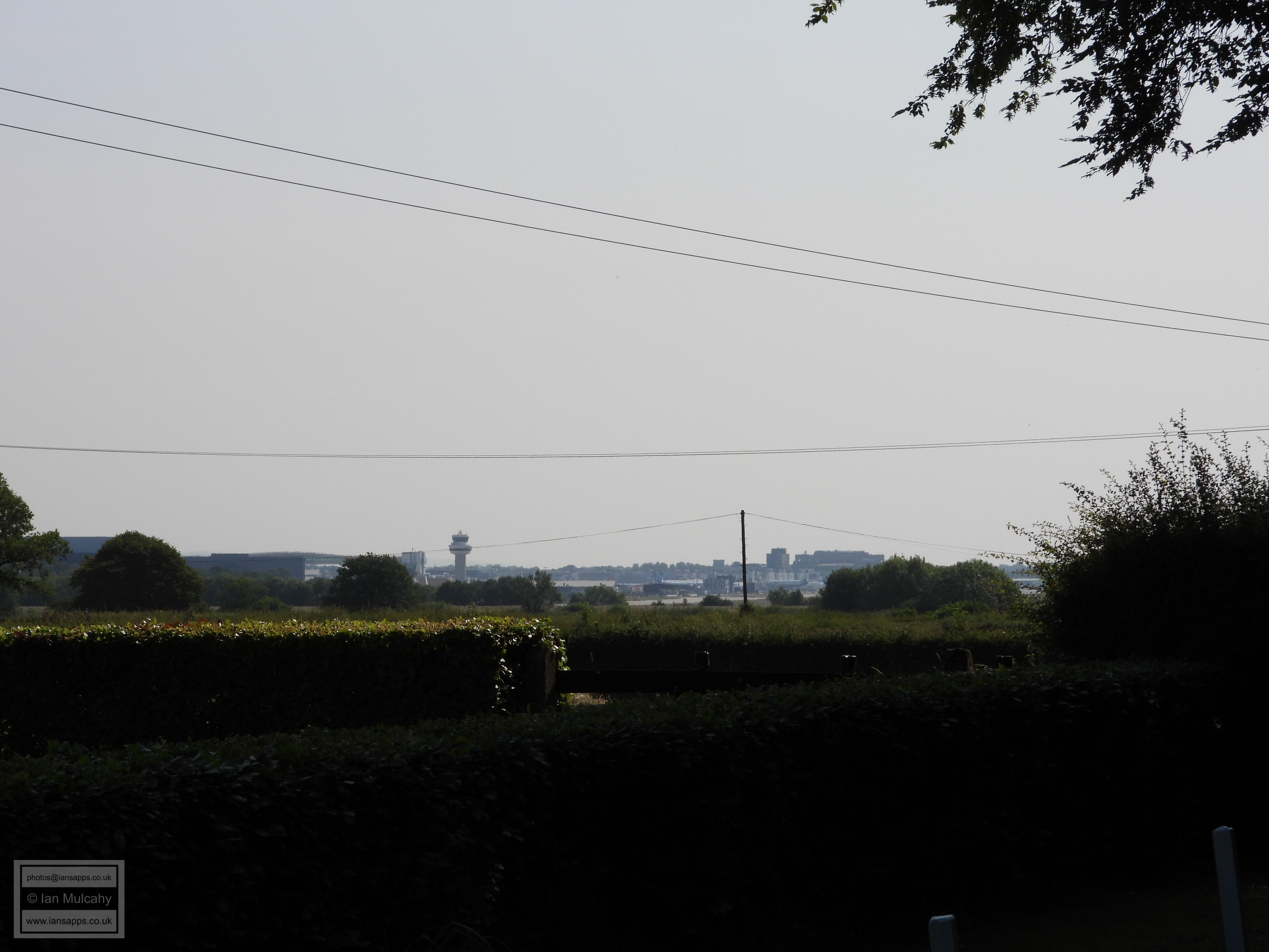
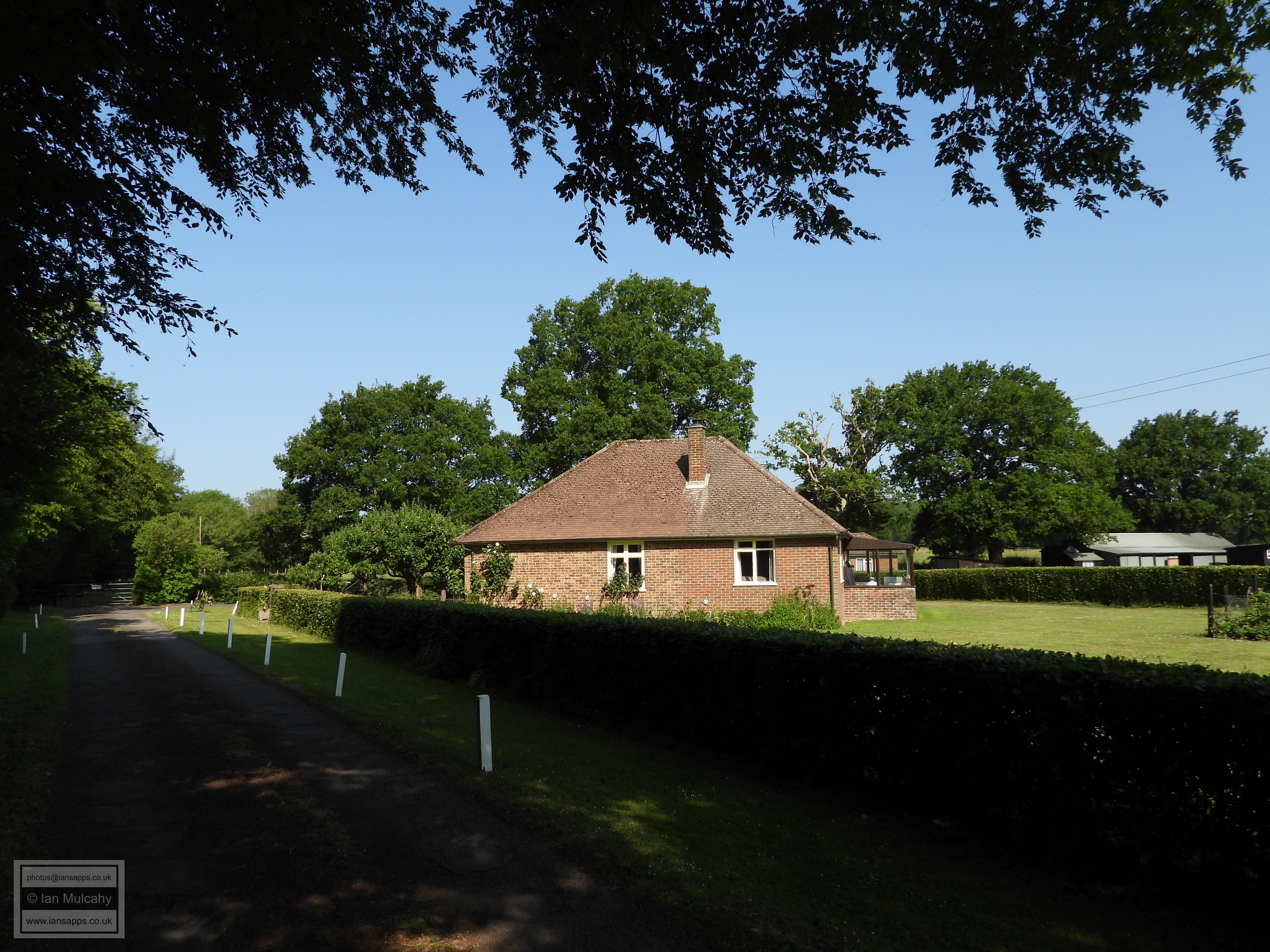
Just approaching Upper Prestwood Farm and, for the first time since crossing the railway just after starting, I will be in Crawley. There is a curious, narrow finger of land, not 400 metres wide and 3km long, at the end of the runway that is within the boundaries of Crawley.
Upper Prestwood Farm, a mile due west of the end of the runway and technically in Langley Green, is, I believe, the oldest residential property within modern day Crawley, being an example of an open 4 bay hall house dating to the early 15th century. This makes it older than The Punch Bowl, The Brewery Shades and the bulk of The Ancient Priors (all mid 15th century, and now non-residential) and the bulk of The George Hotel (parts of which are contemporary with Upper Prestwood) and second only to the Tree House in Crawley High Street (now the Museum), which contains timbers that have been dated to 1328, in terms of buildings that were originally built for residential purposes. The Ancient Priors does have some older fabric, but it is minimal and not visible from the High Street.
Once again, we rejoin the parish boundary, albeit briefly, for the 450m length of the driveway to Ifield Road from Upper Prestwood.
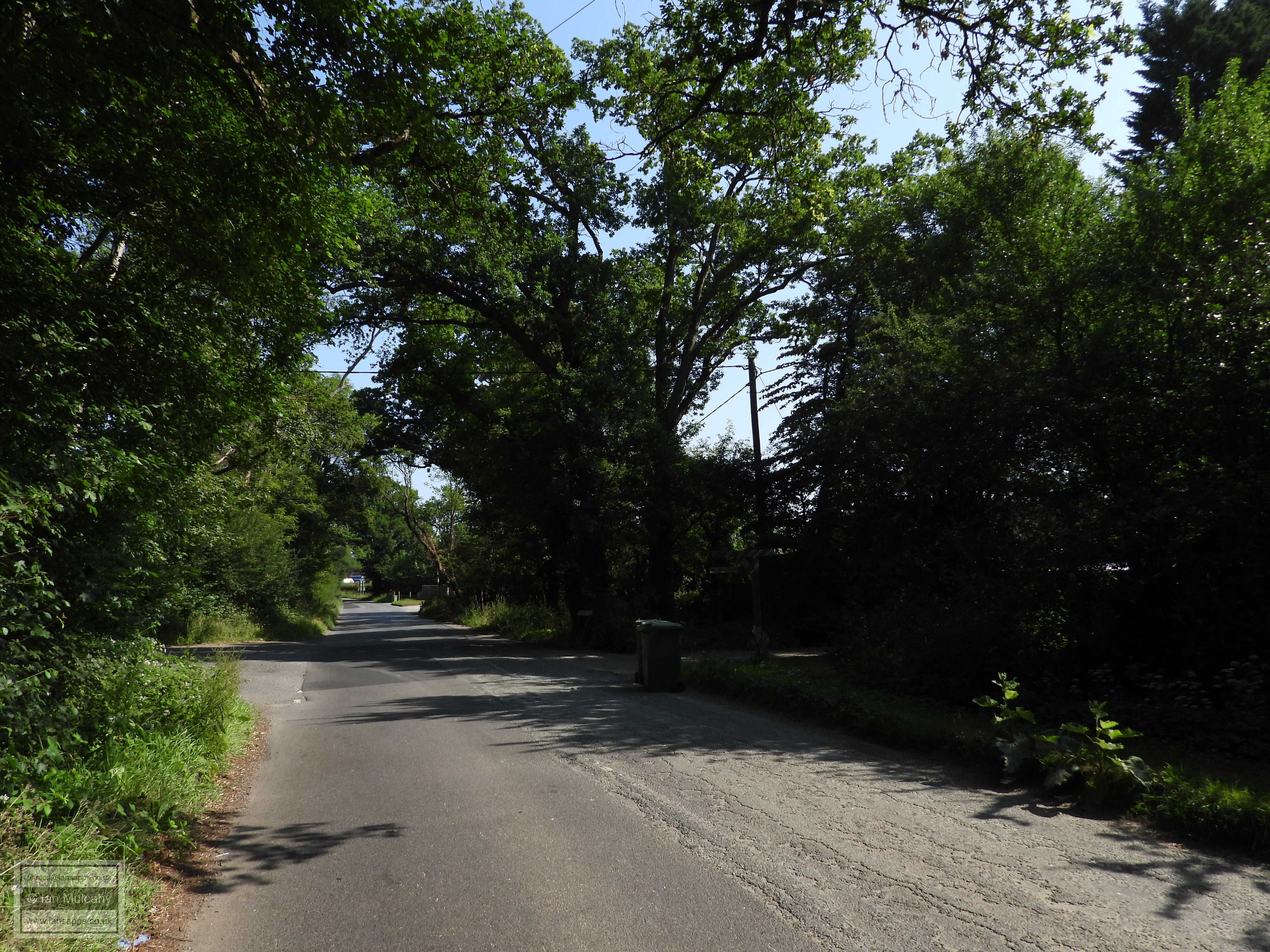
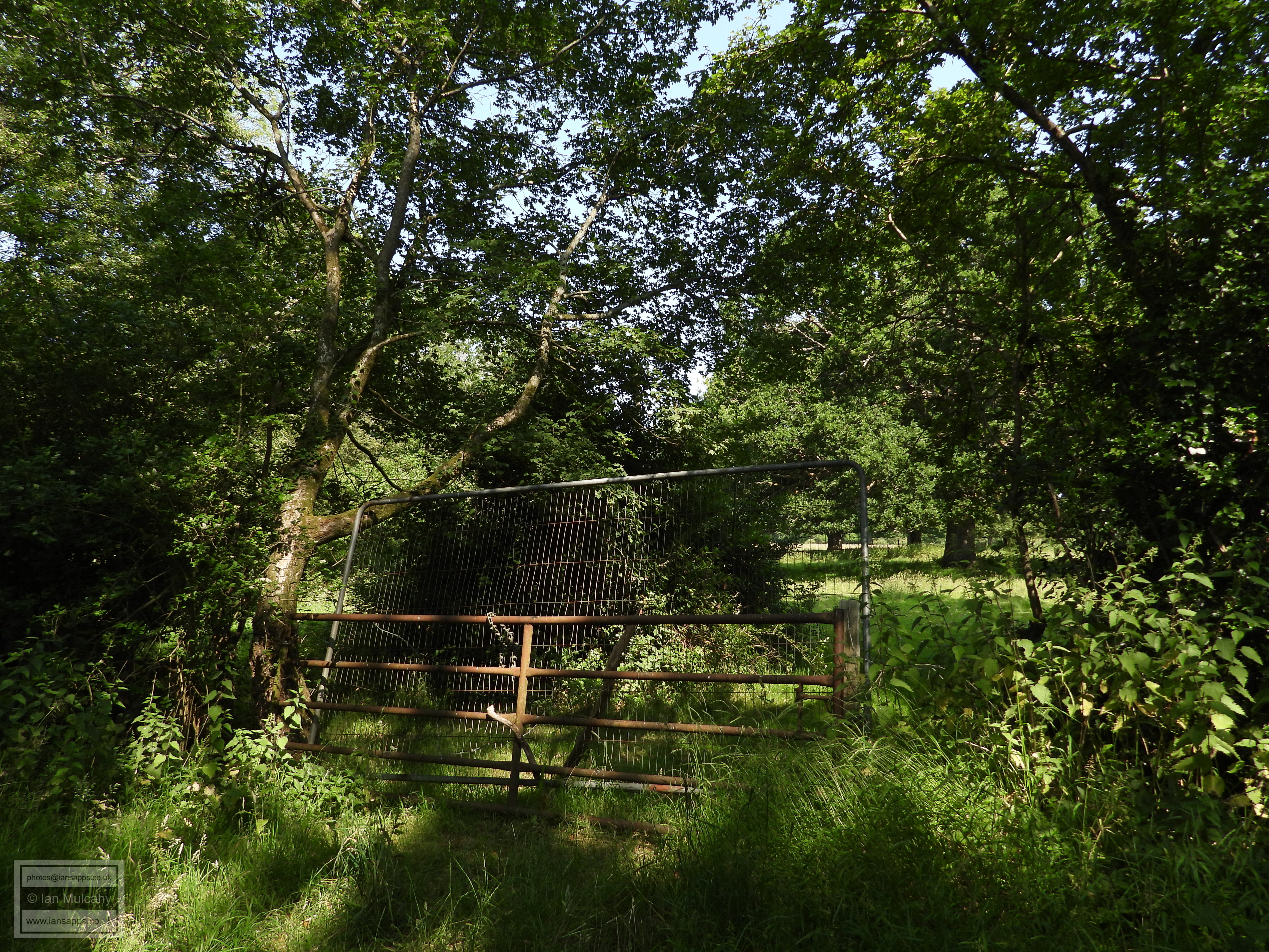
On reaching Ifield Road/Charlwood Road (the name changes on the parish boundary), I elect not to climb over a barbed wire topped gate to stick with the boundary and instead turn right, heading back towards Crawley.
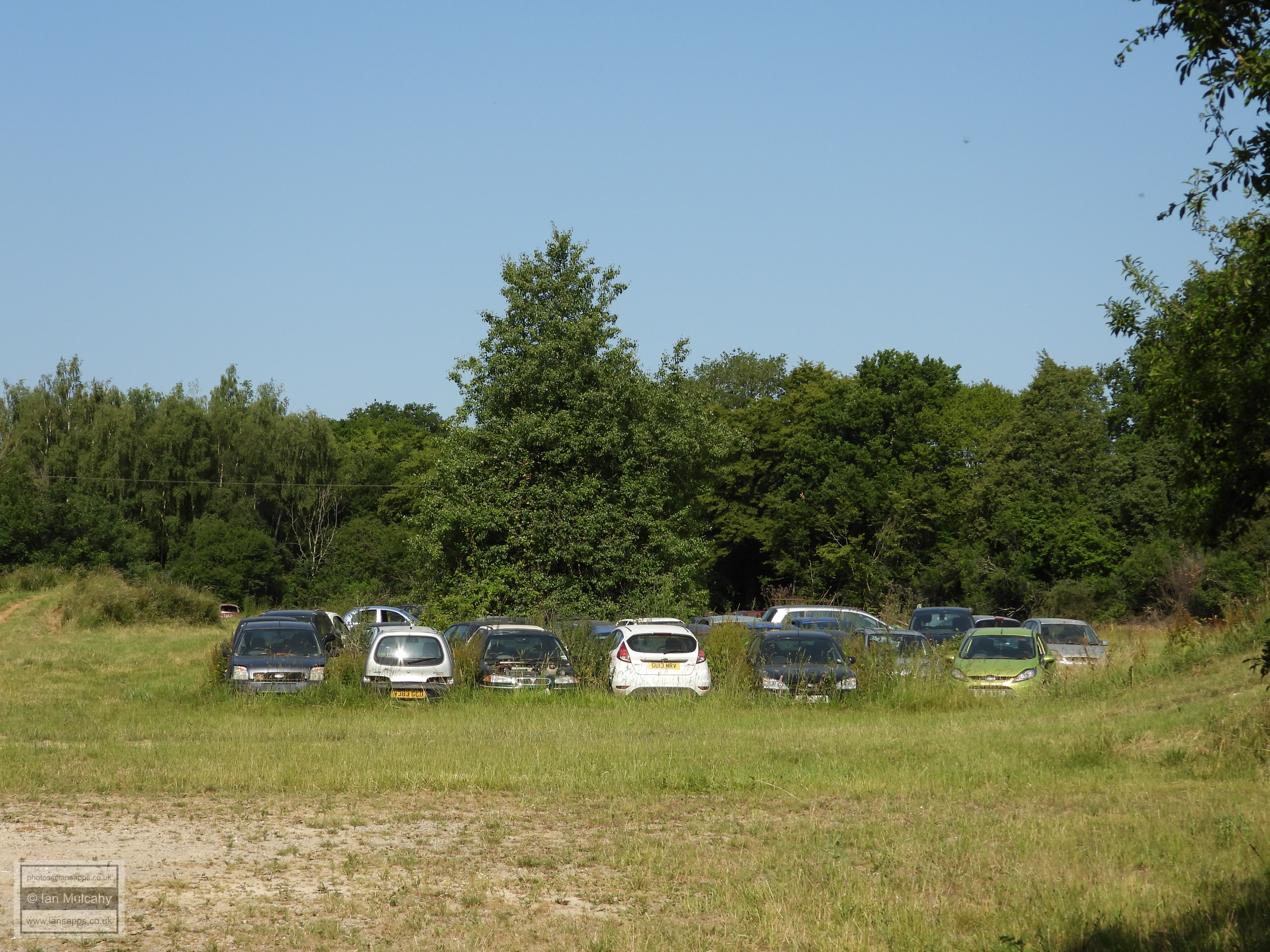
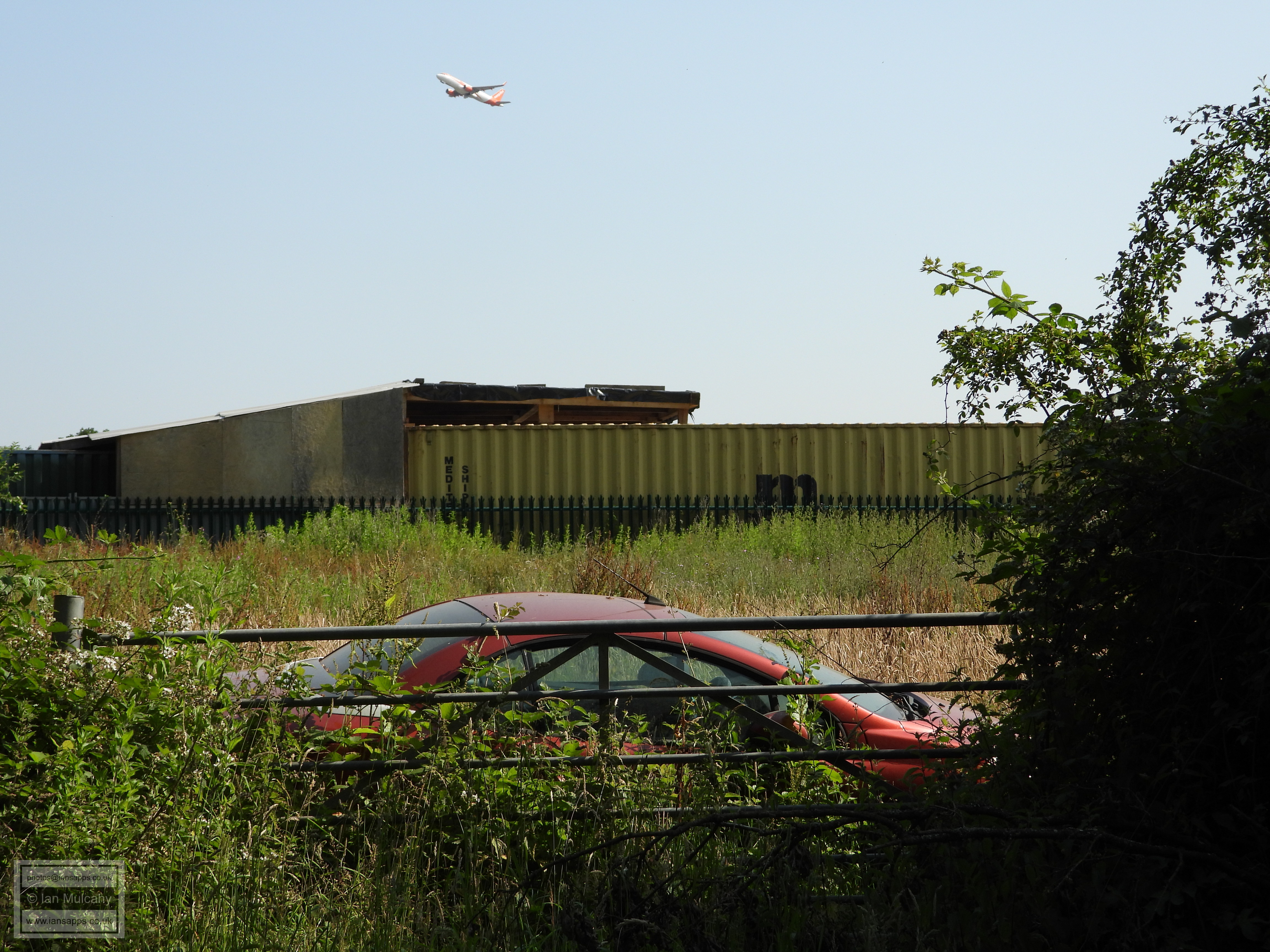
A rather bizarre field containing lots of abandoned cars just south of PJ Browns yard. On Google Earth this appears to be some sort of racetrack, but the track is now overgrown and doesn't appear to have seen any action for some time.
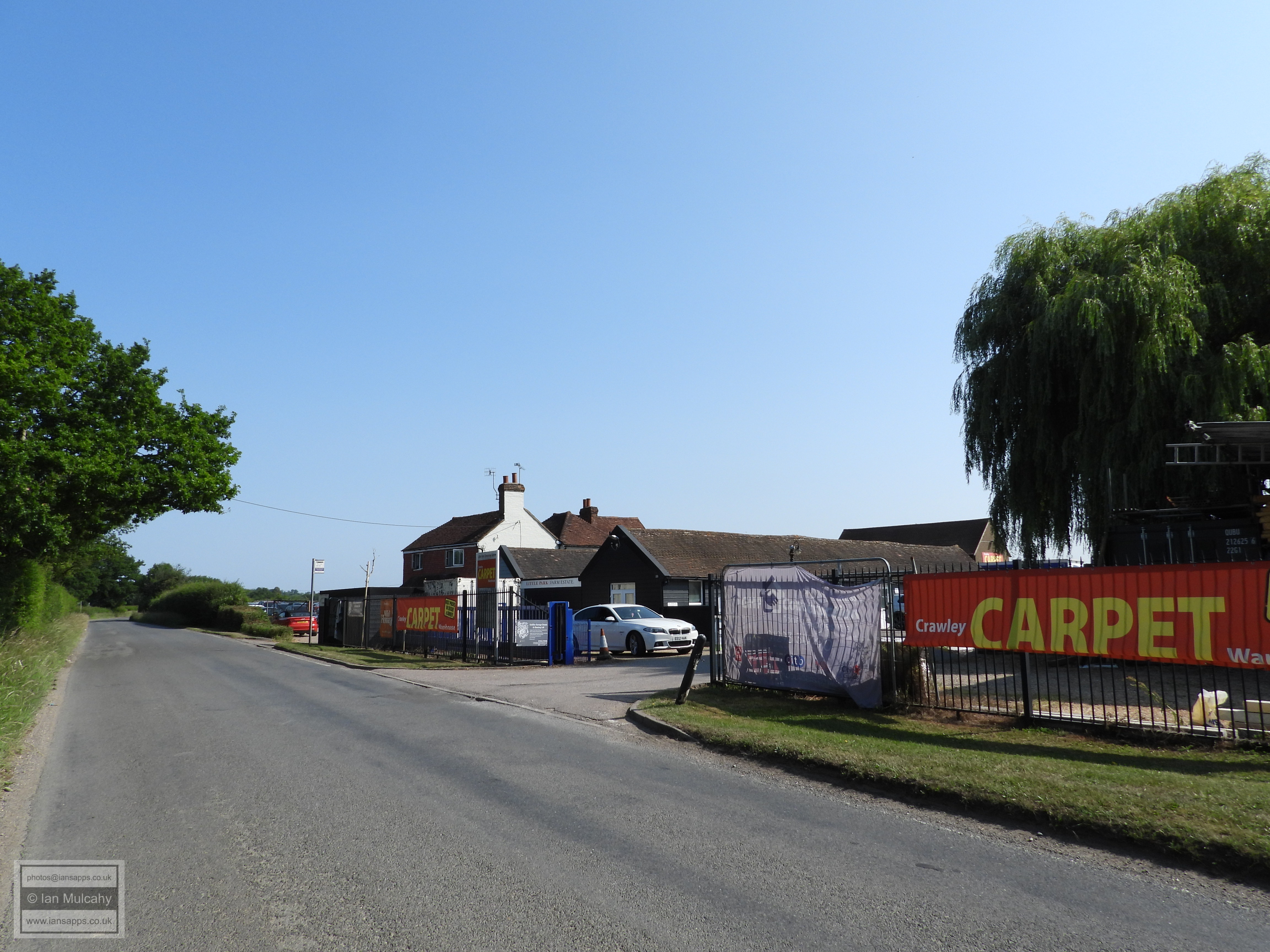
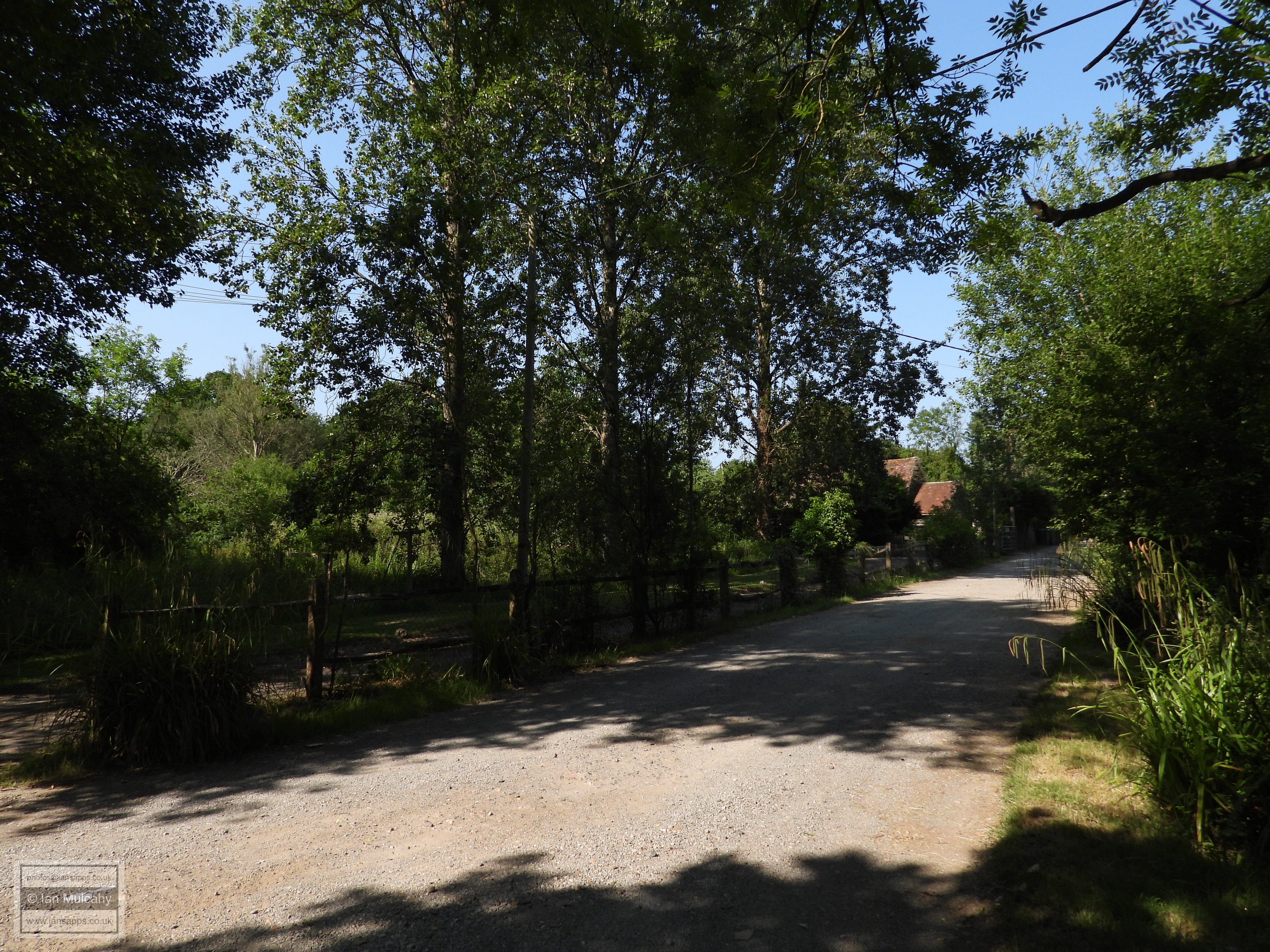
Continuing south along Charlwood Road, this is the entrance to Naldretts Farm.
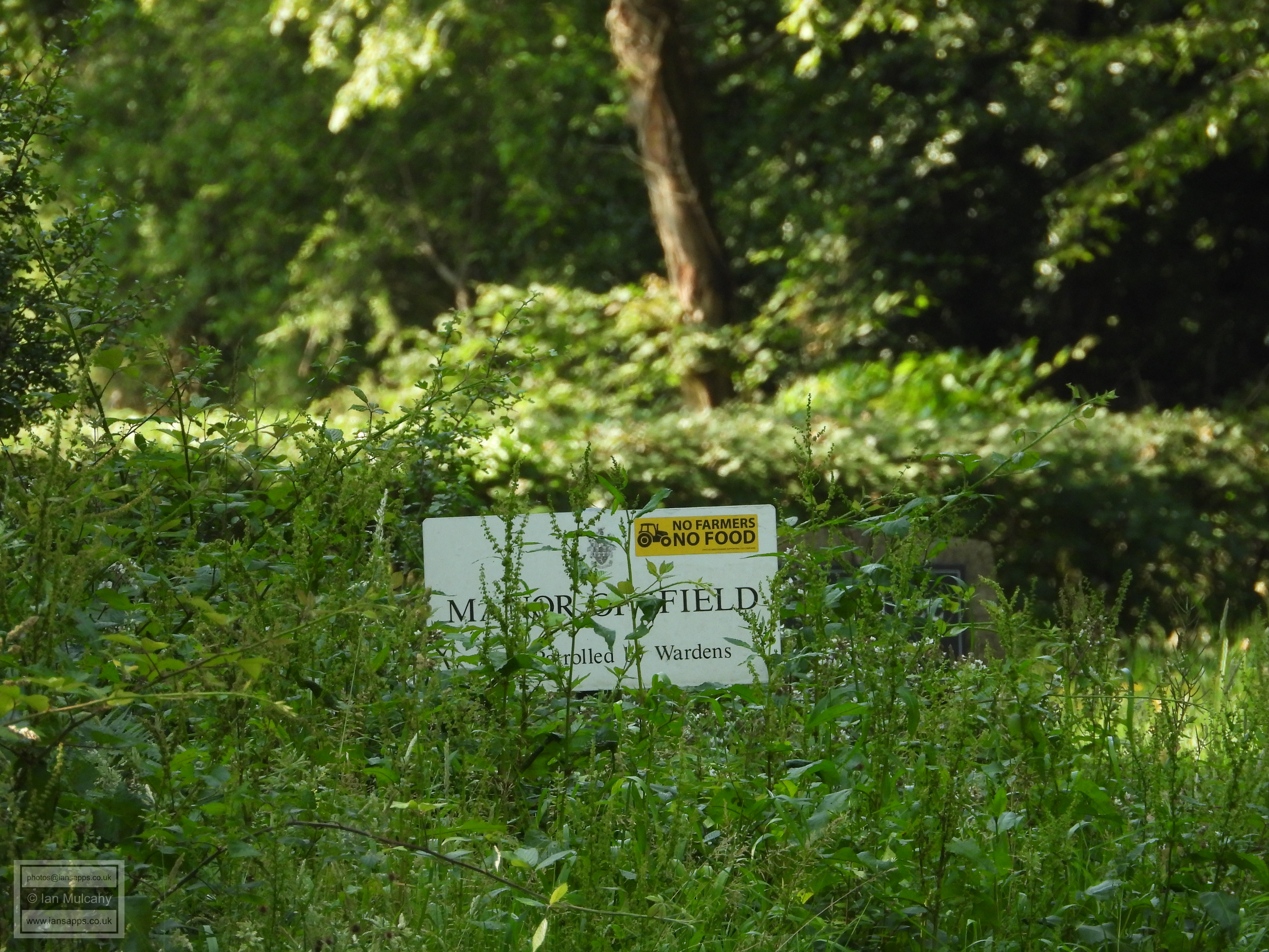
The Manor Of Ifield sign, fifty metres or so into Ifield Wood.
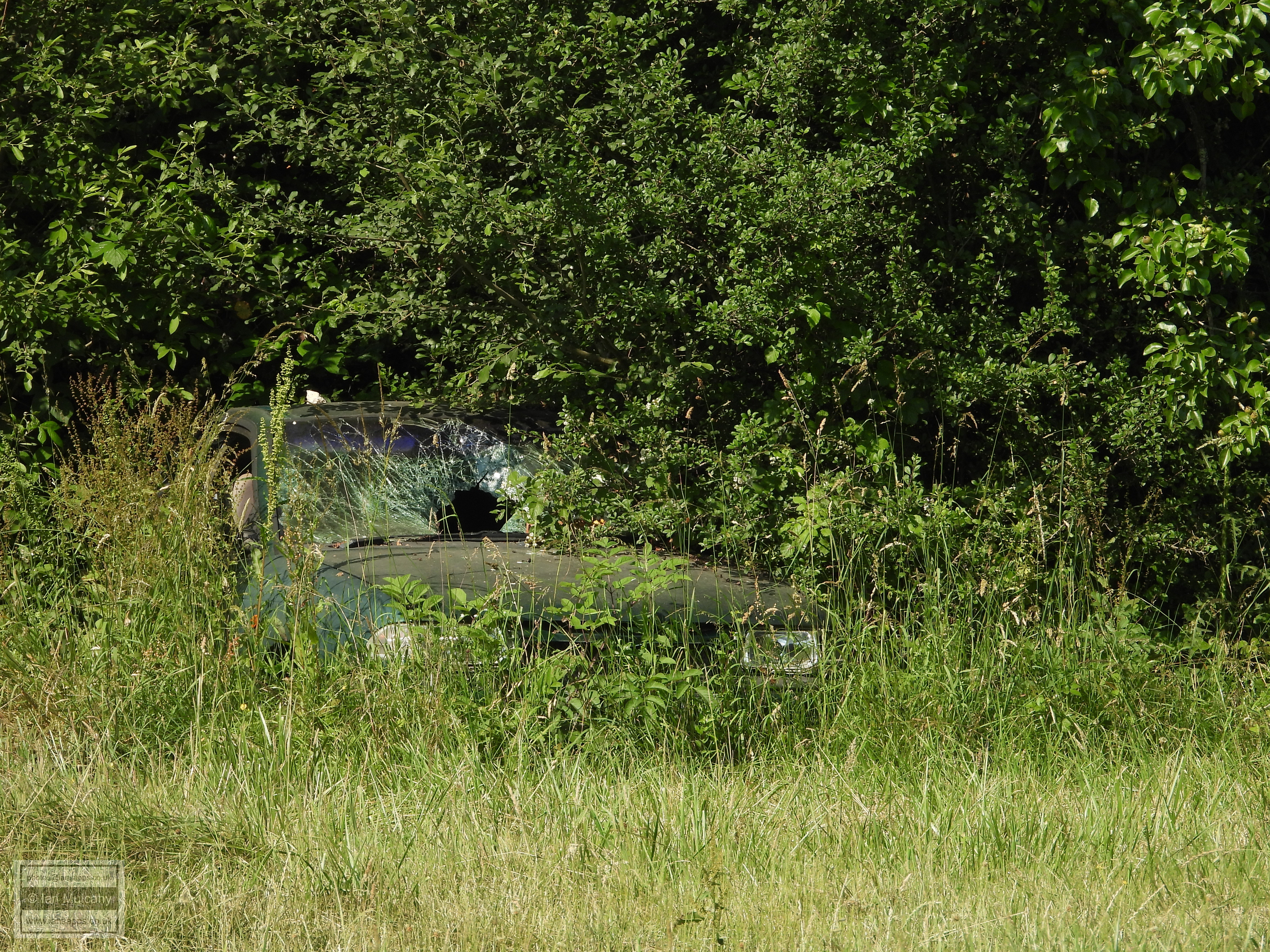
More abandoned cars!
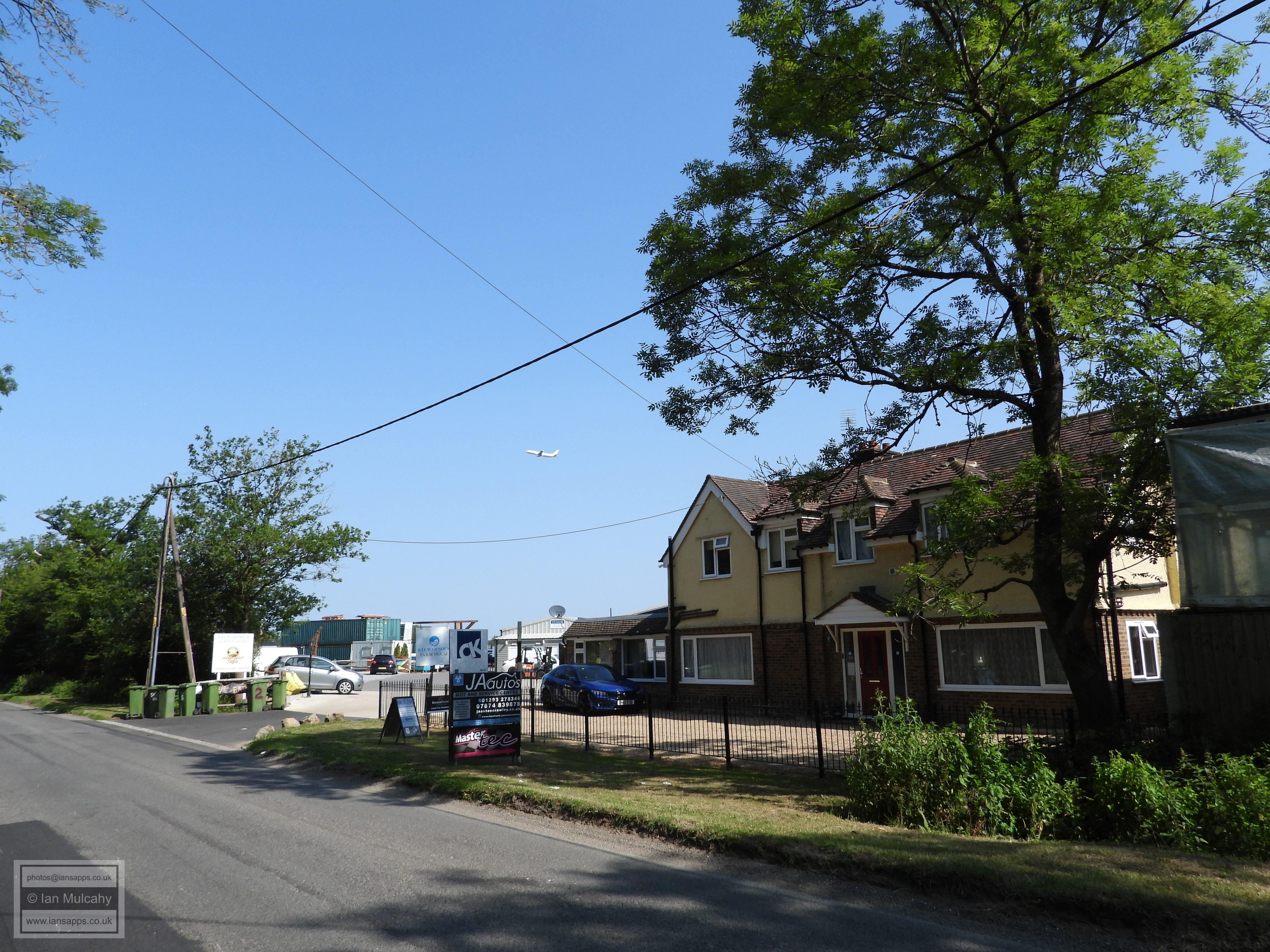
Kilmarnock Farm trading area.
The lodge to Ifield Court
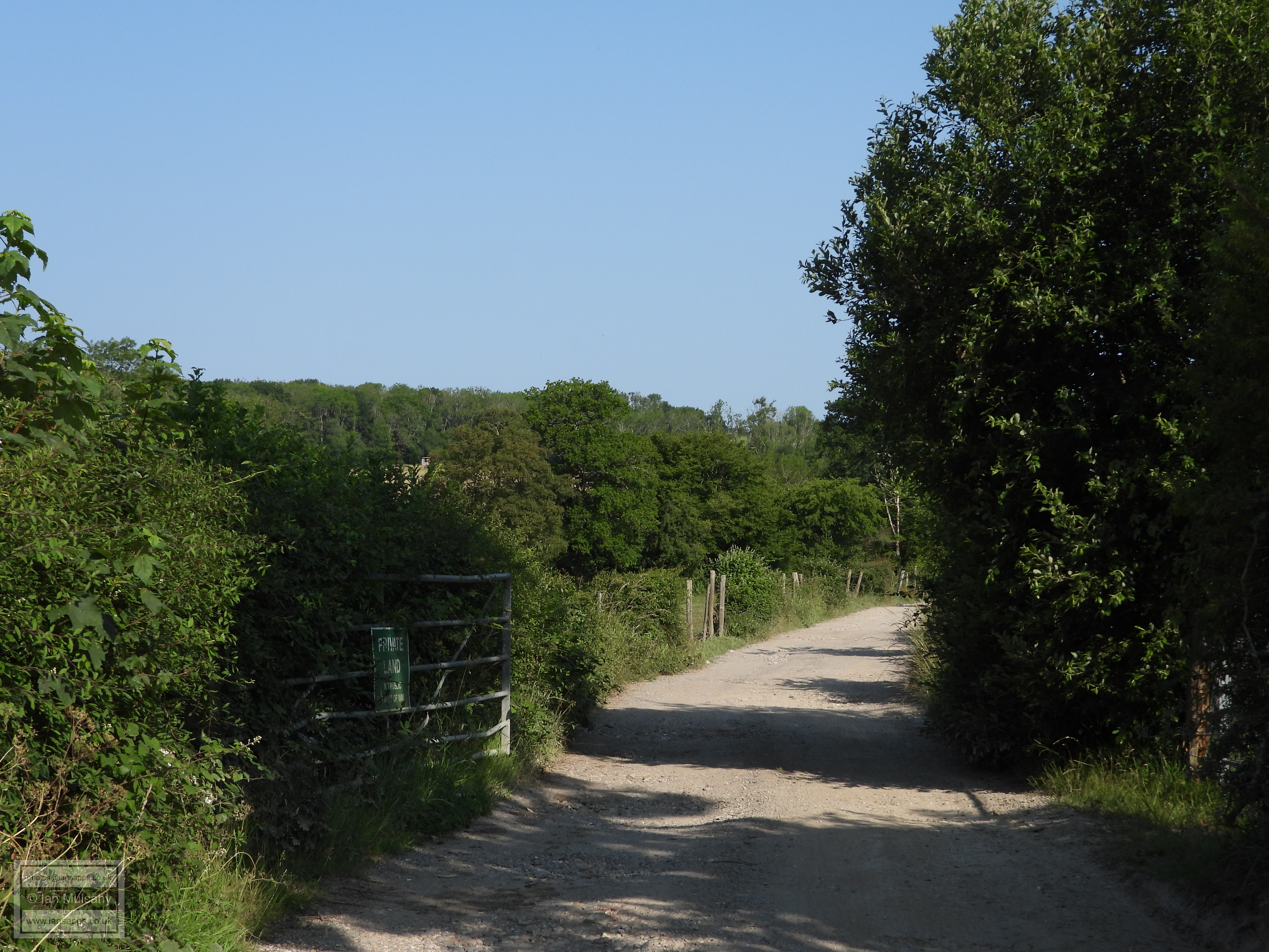
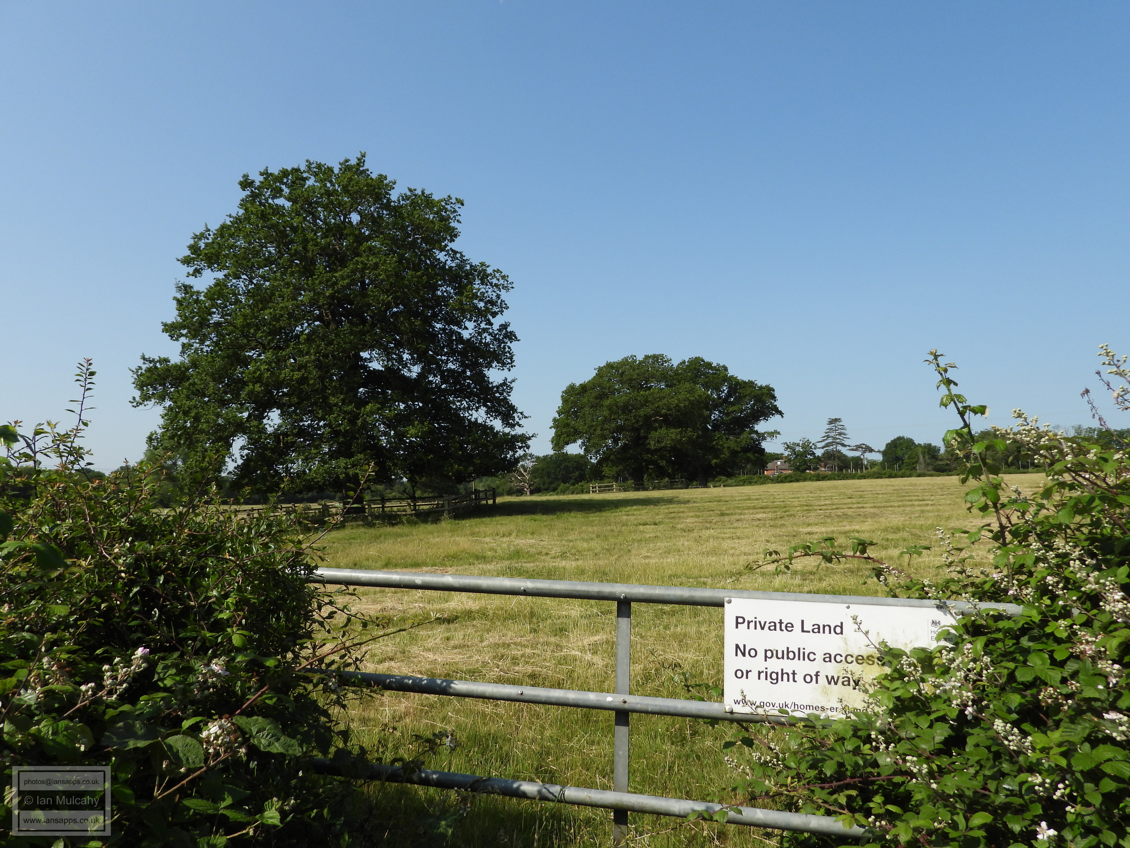
PUBLIC LAND!!
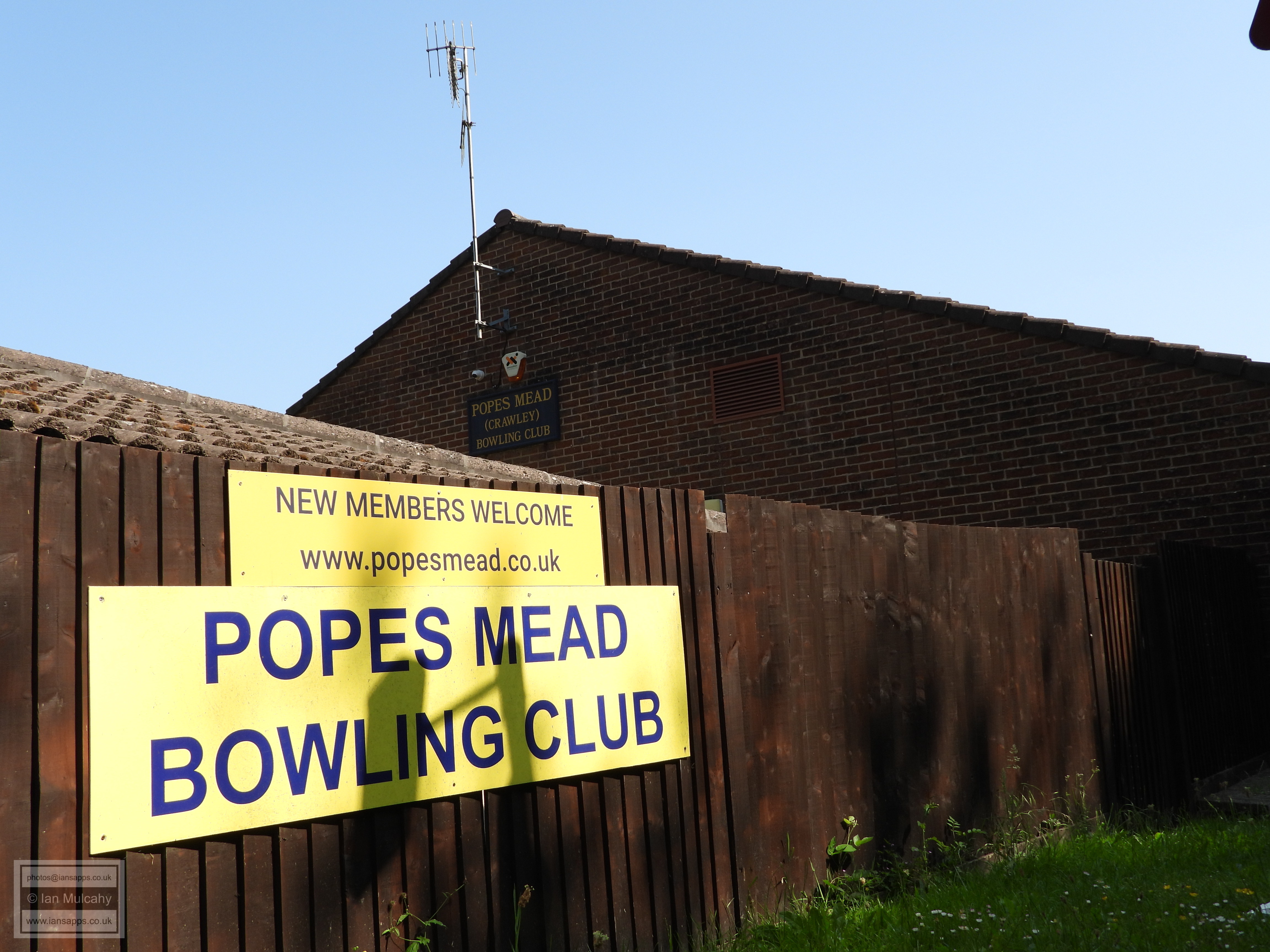
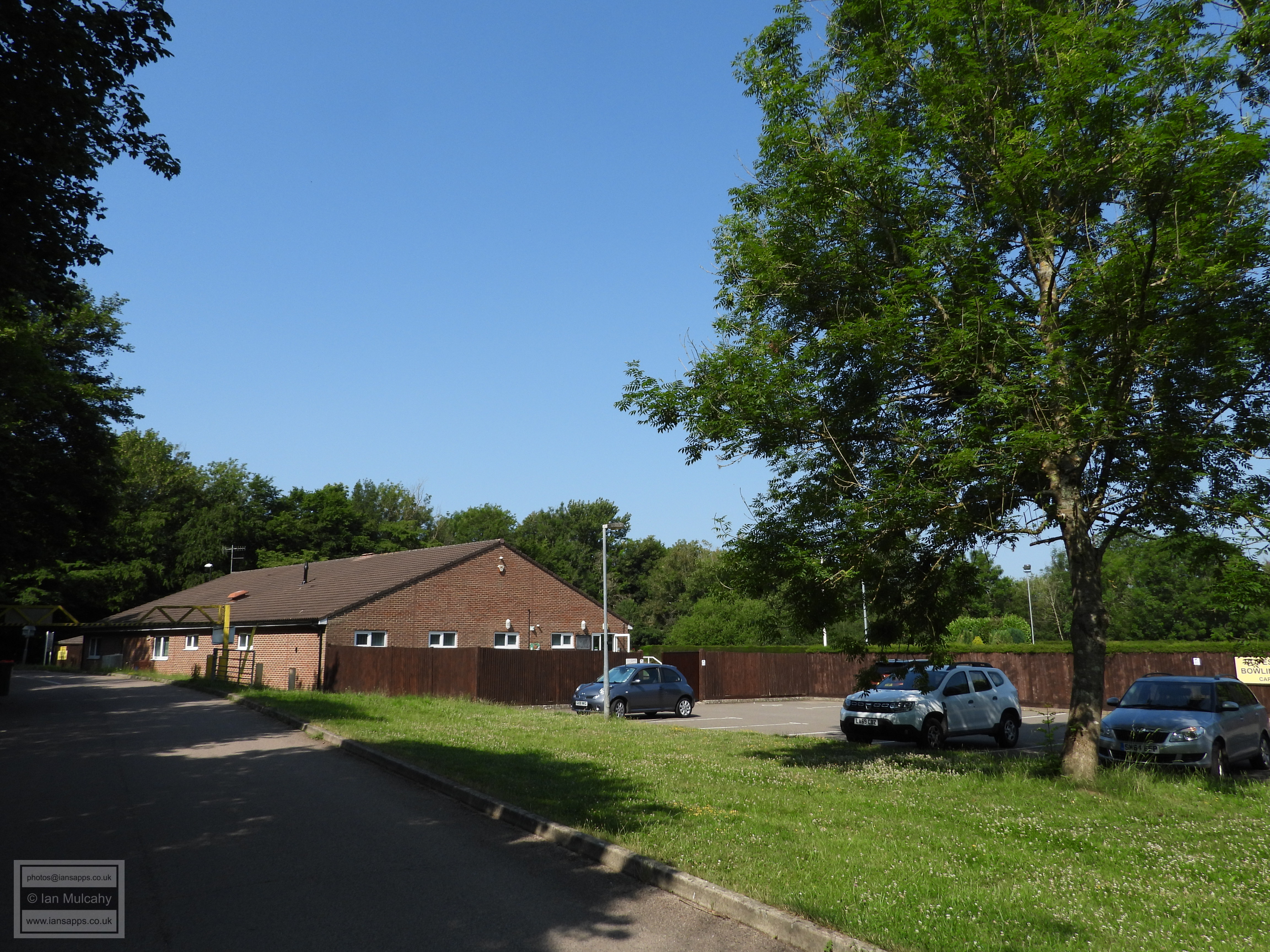
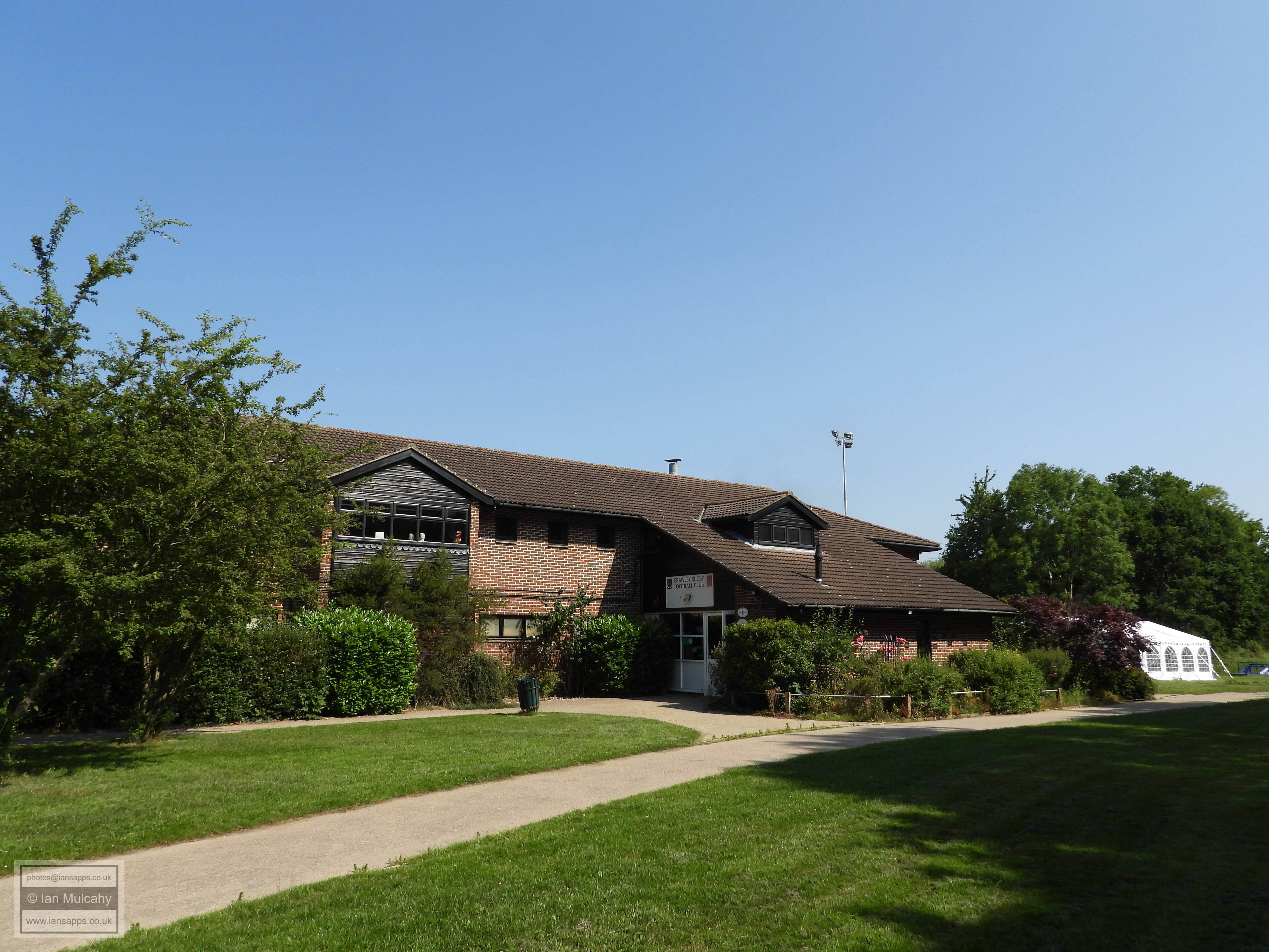
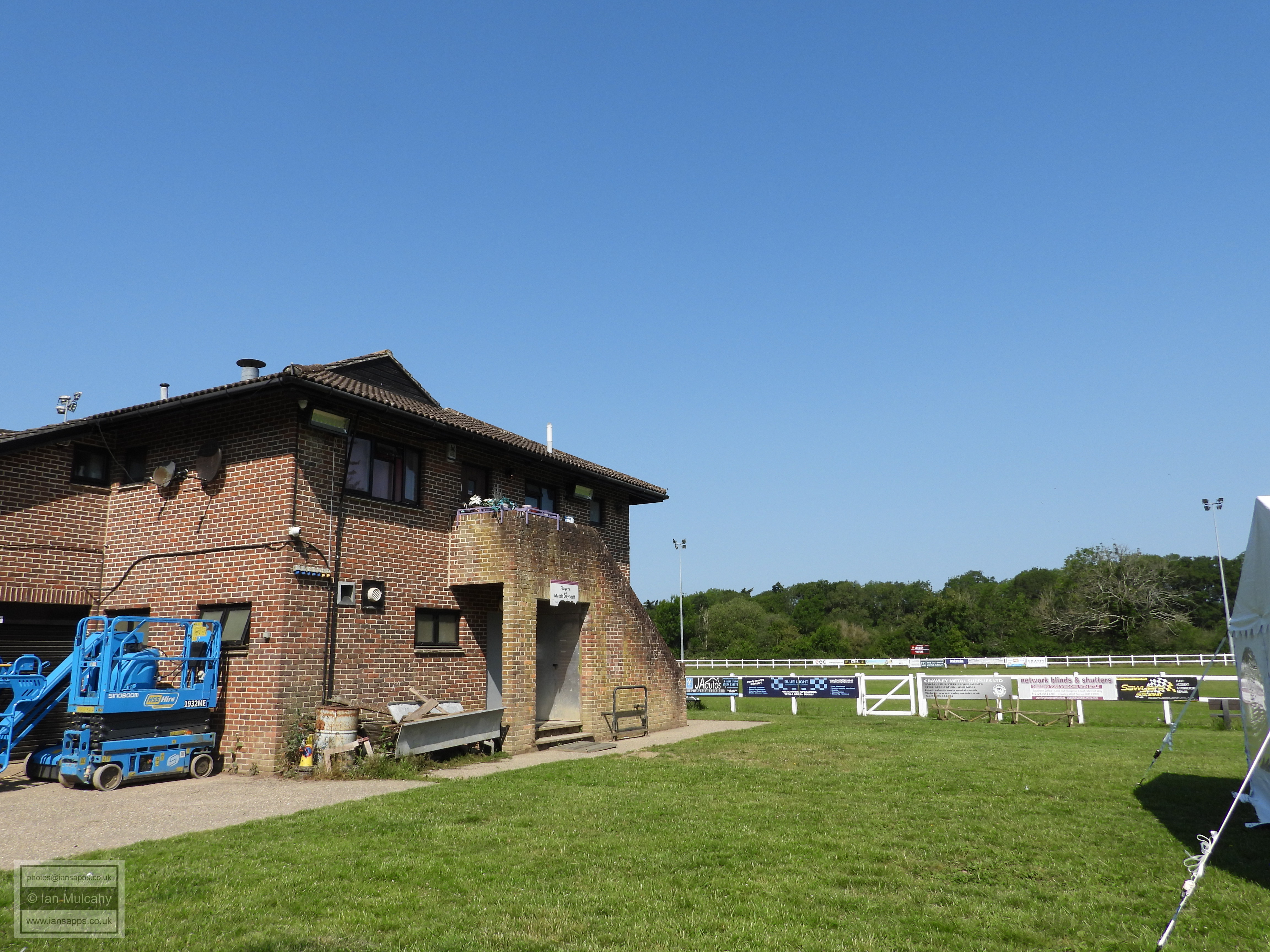
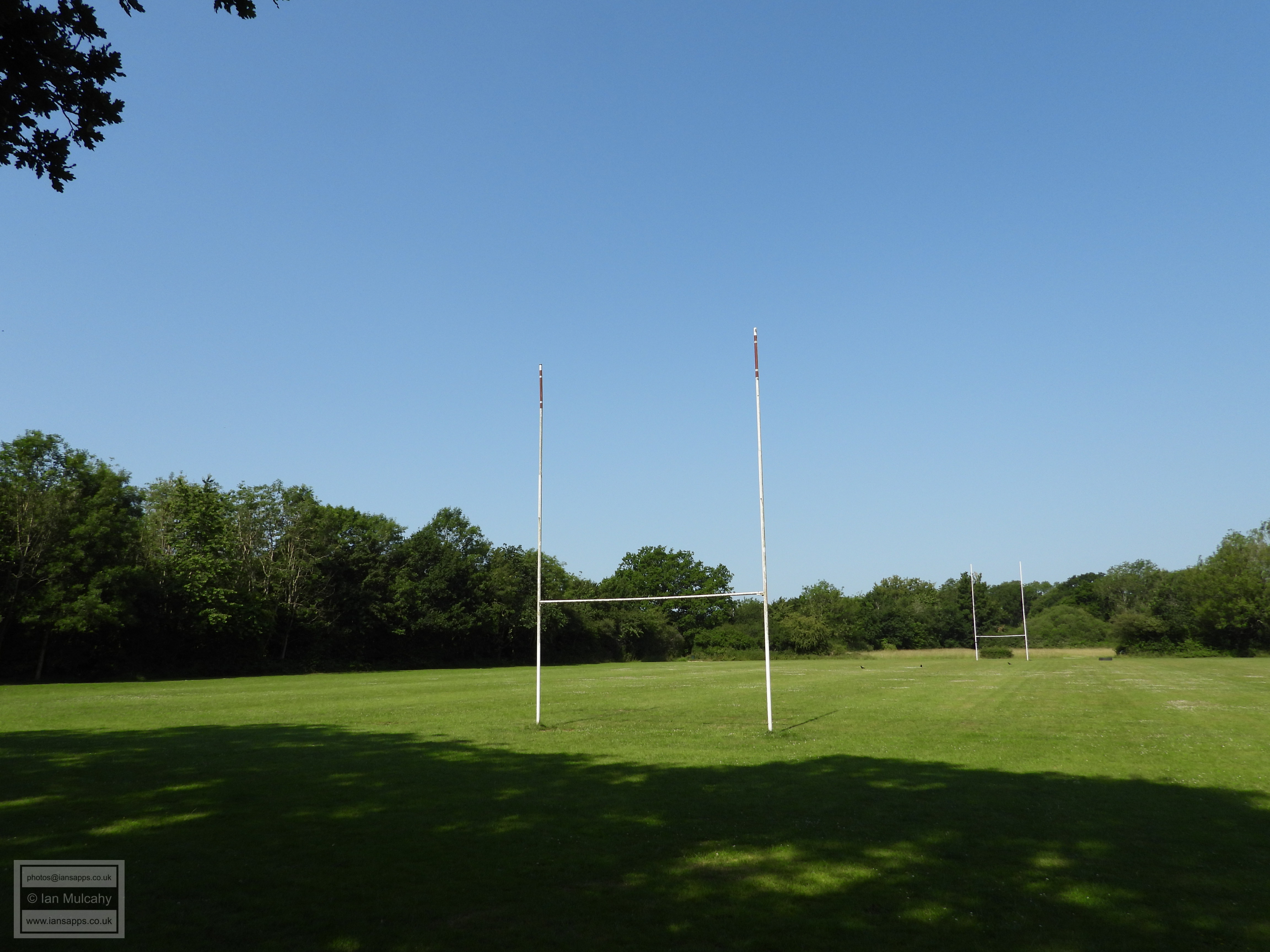
I'm now looking to rejoin the boundary so cut into the Rugby and Bowls Club in order to to access Willoughby Fields and, subsequently, Poles Lane.
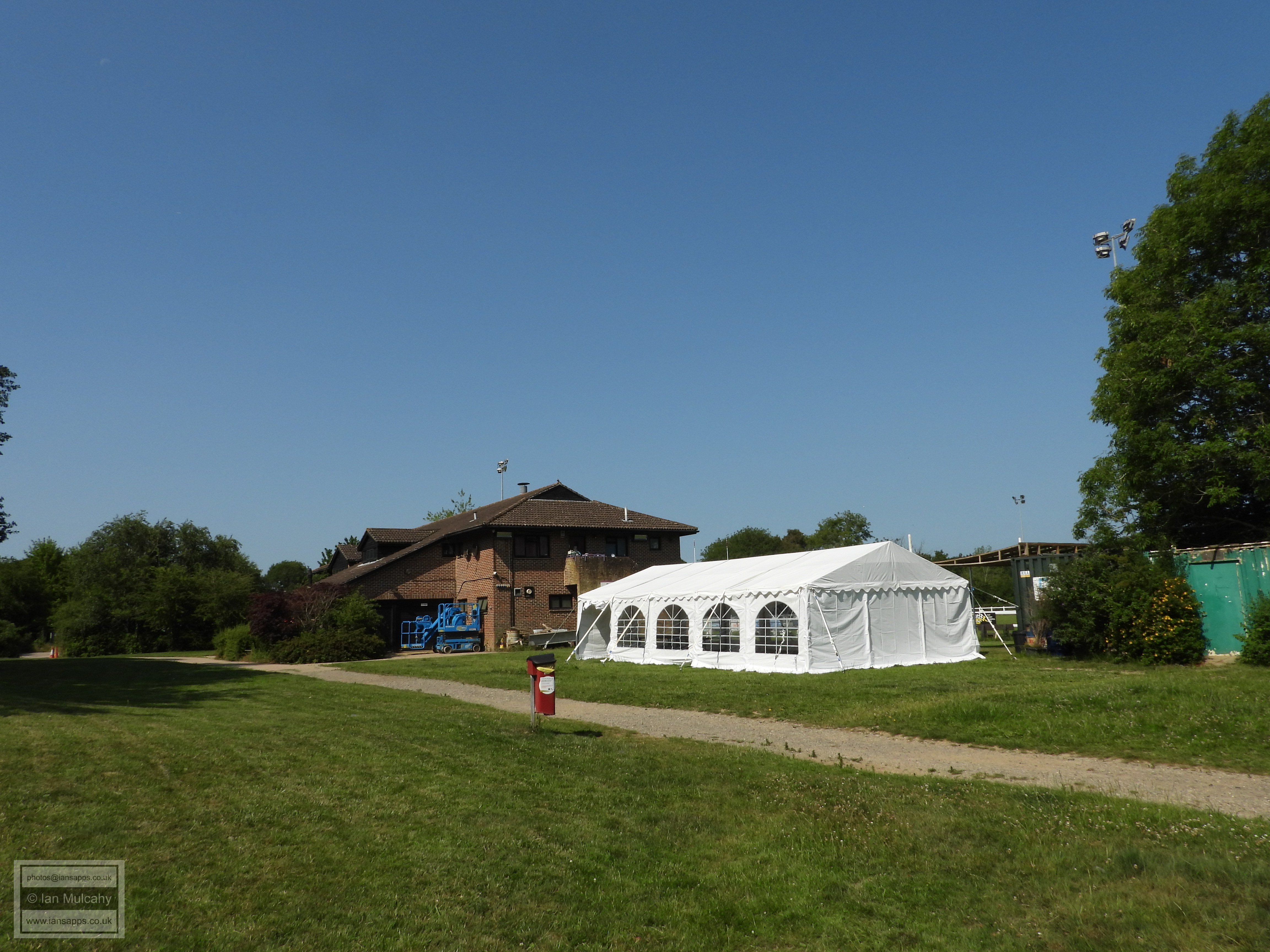
I'd been looking for a bench in the shade to sit down and have a rest and something to eat, so this marquee, complete with picnic tables, was like a little oasis for me!
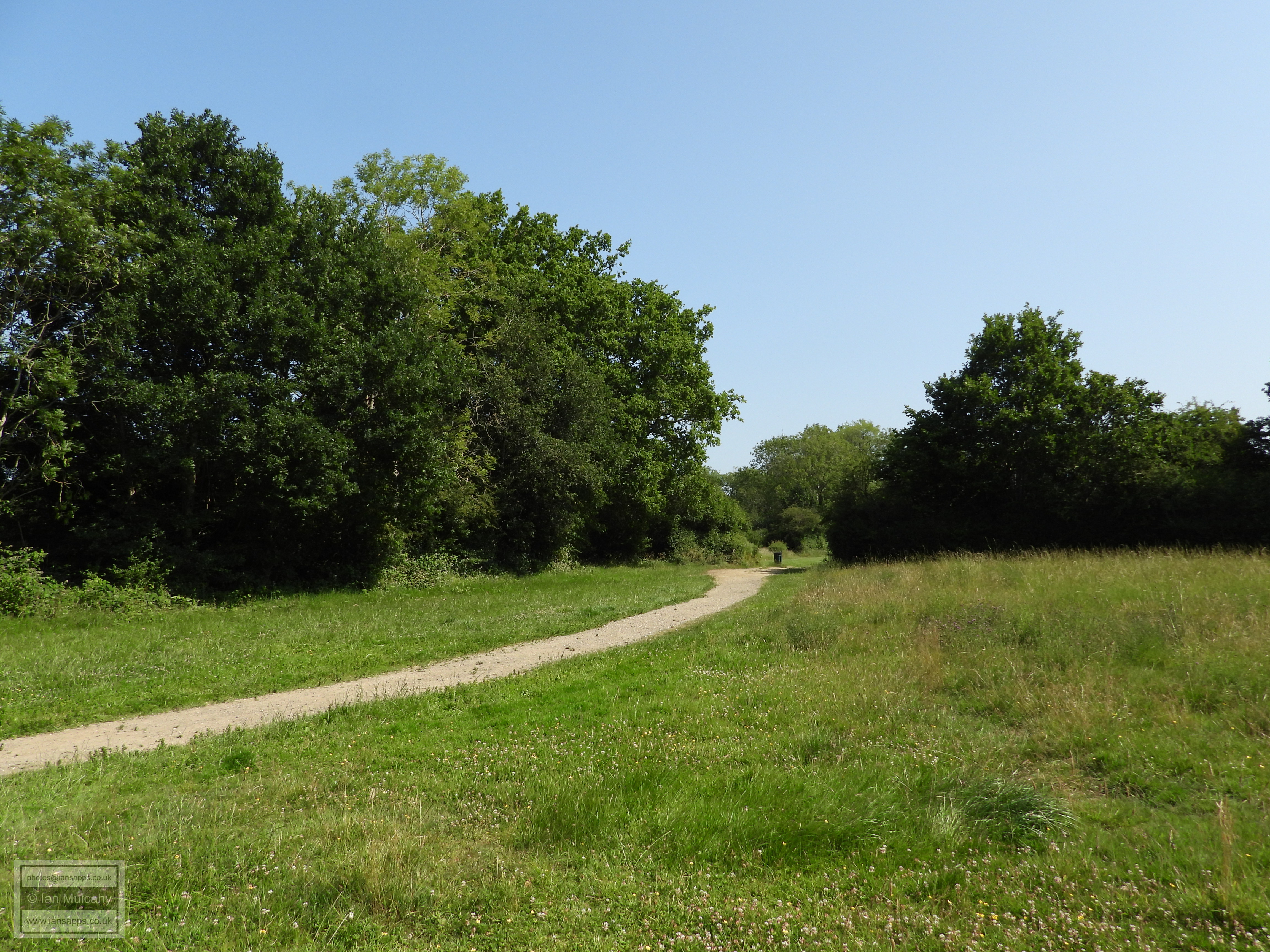
I've now picked up the path of the Polesfleet Stream (which rises near St Margaret's Cottage in Rusper Road and winds it's way through Ifield & Langley Green, culverted, but marked by tree lines, the route of which will be the subject of another walk one day) at the back of Cherry Lane Playing fields. It was within this stream, near its conjunction with the Rover Mole, that a late Bronze Age sword was found in 1952, a replica of which can be seen in Crawley Museum. I will be following the Polesfleet all the way to Poles Lane now.
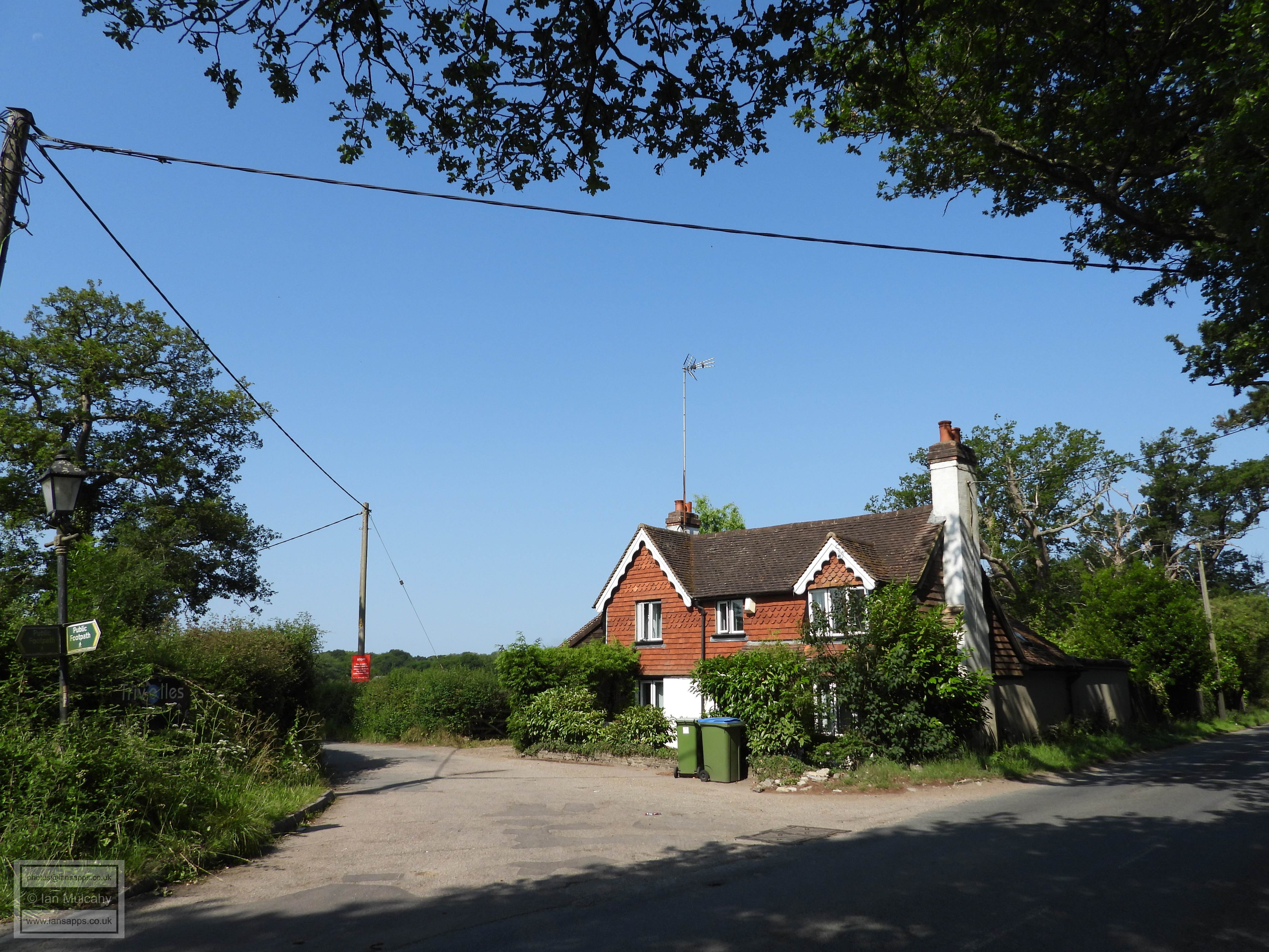
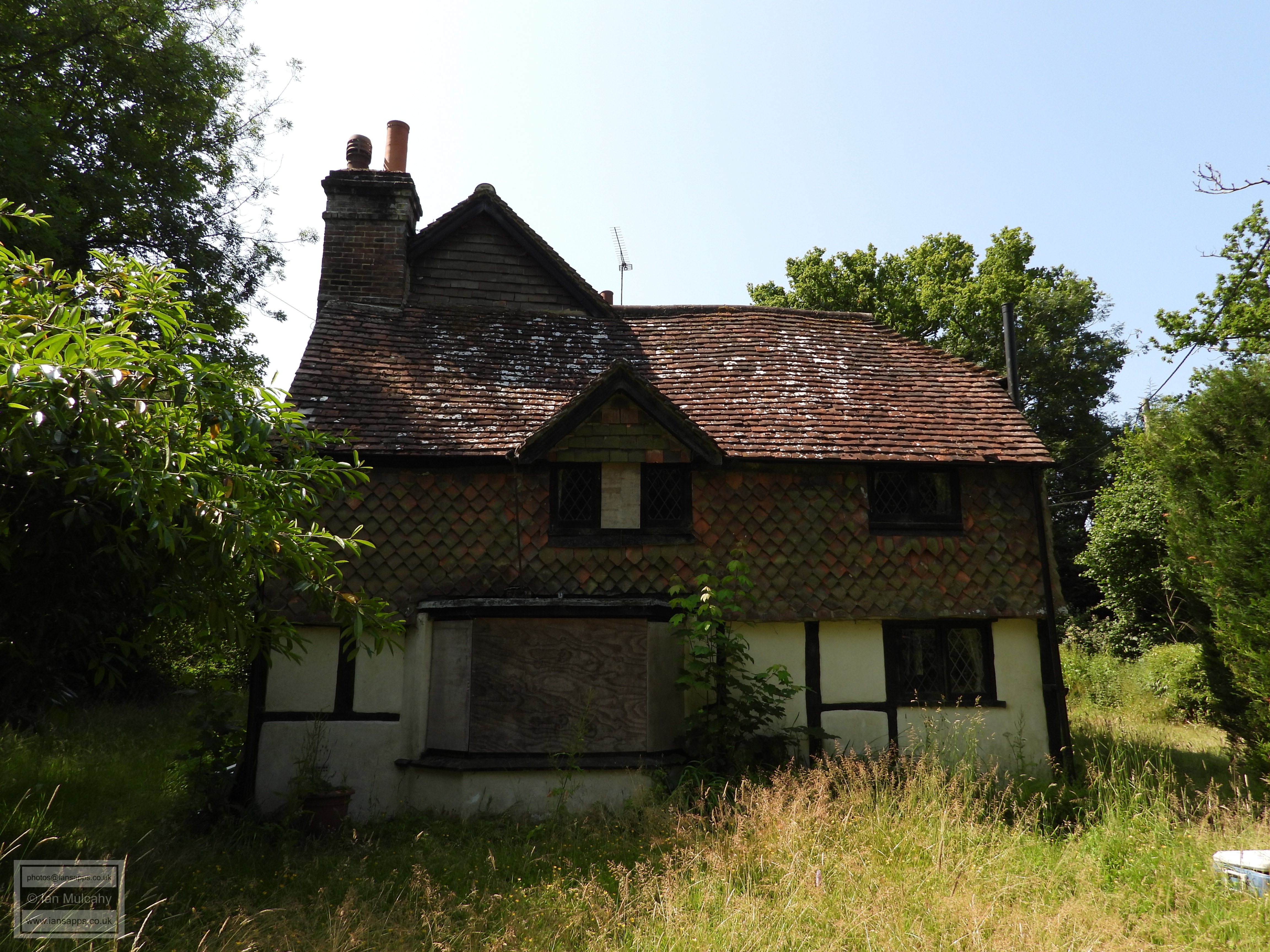
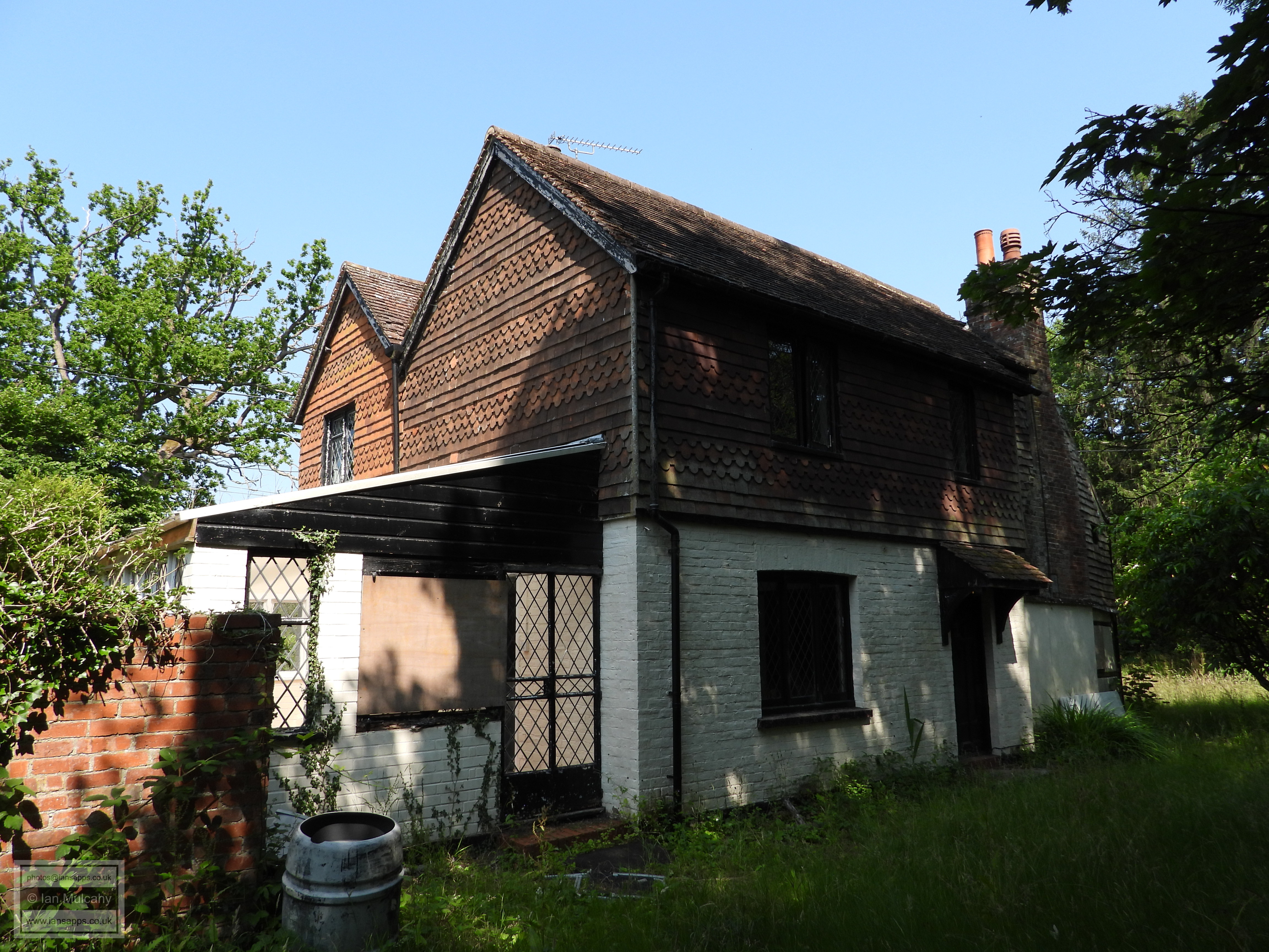
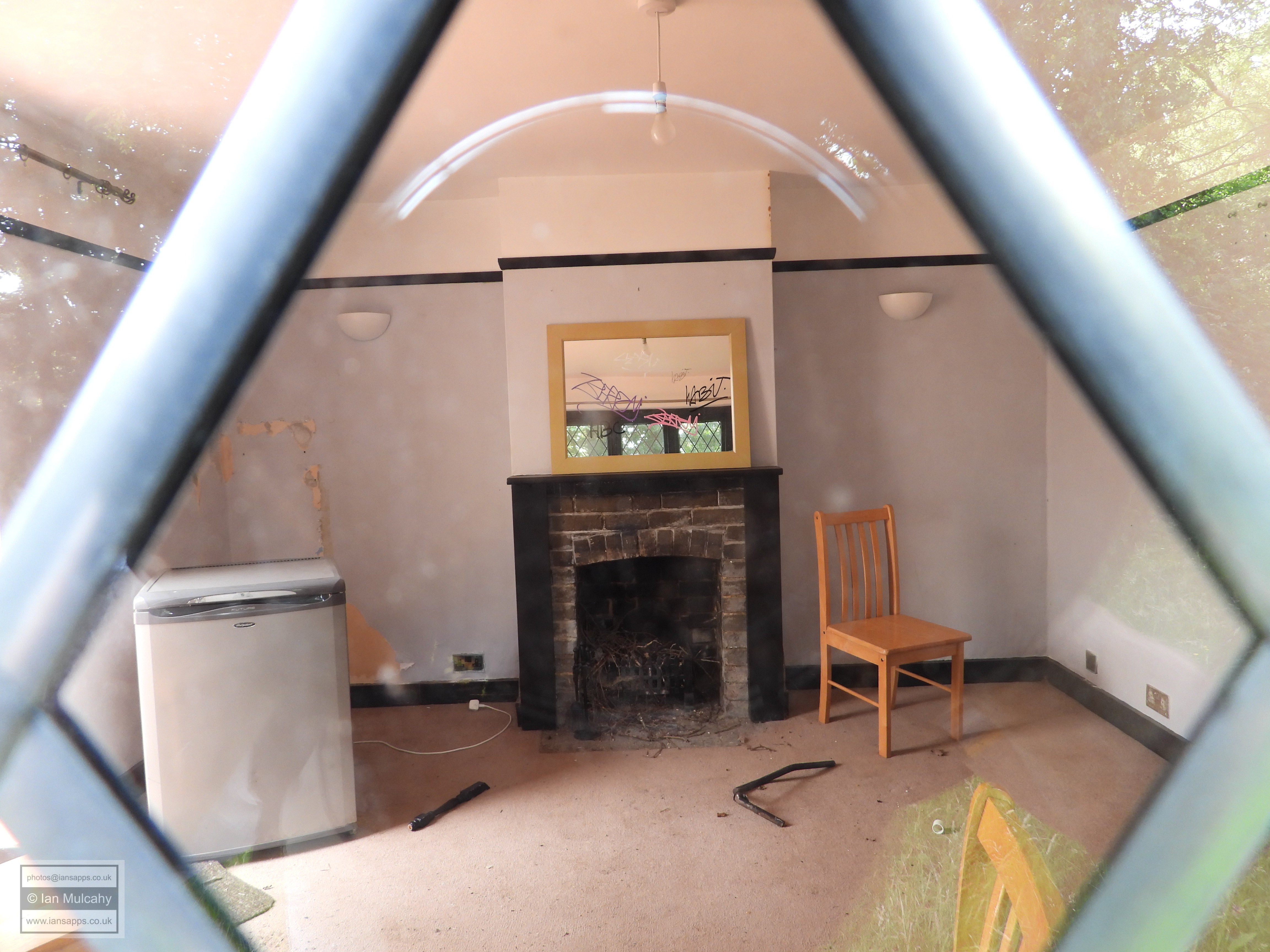
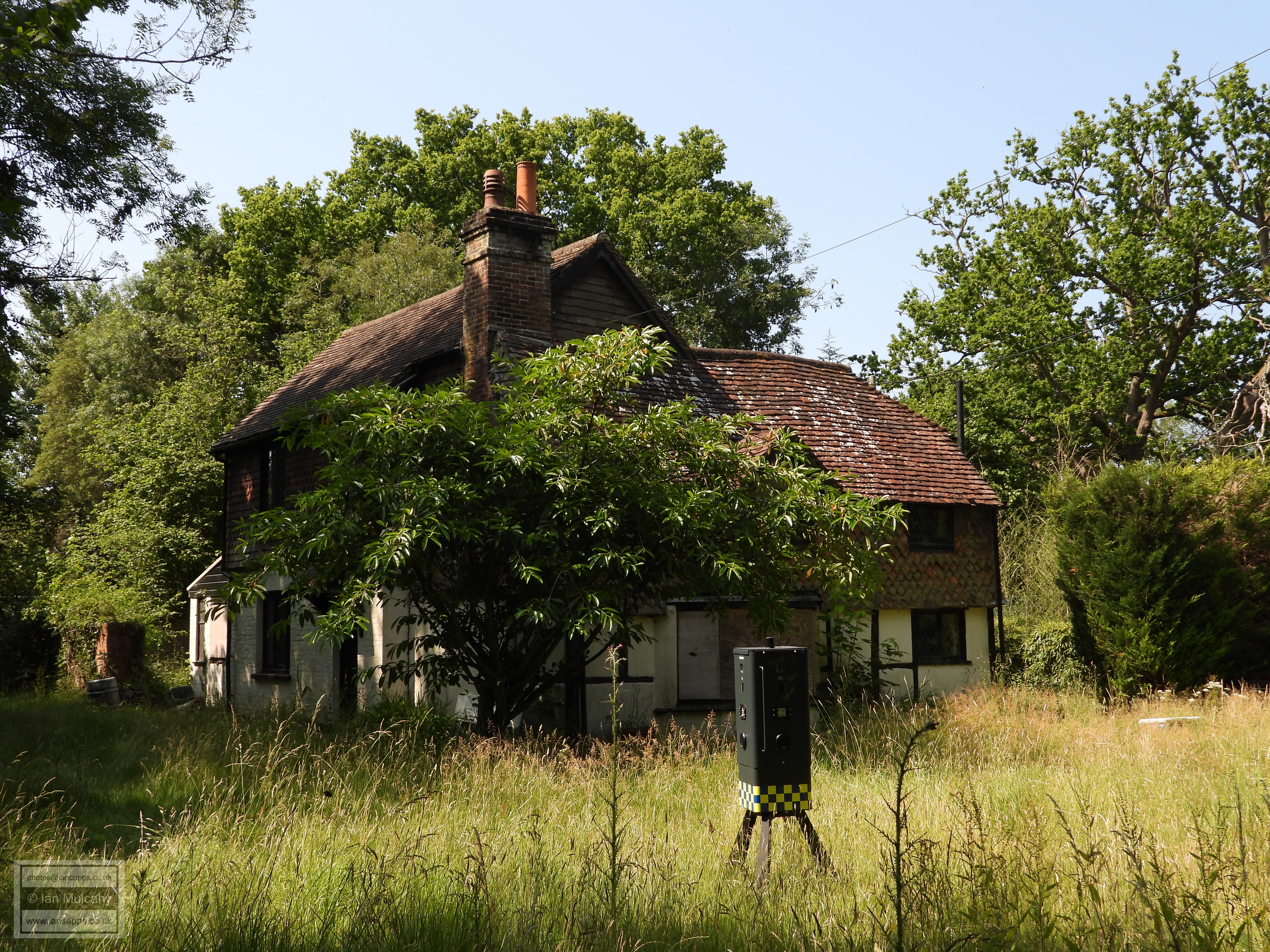
This is Knights Acre, also known as St Barbs Cottage, at the southern end of Poles Lane; an 18th century house (the range visible in this picture) with sizeable 19th century extensions behind. The house, which in 2007 was the scene of a murder when a man named Edward Edrich shot his wife Claire after becoming depressed by the expansion plans of nearby Gatwick Airport (which would have resulted in the destruction of this house, along with many other historic properties in the area), appears to have been abandoned and I was regularly instructed by the two robo cops sited in the garden (see the final image at this property) to 'leave the area immediately'!
Having left Knights Acre I headed eastwards along the bridleway which runs parallel to the parish boundary 150 metres to the south and exits onto the A23 London Road almost opposite Hydenhurst Lane. The picture above shows what was originally the common land known as Lowfield Heath!
The countryside and modern urban buildings collide.
Having now joined the footway alongside the A23 I have 1.5 miles of walking along the boundary southwards to the junction of Crawley High Street and Haslett Avenue.
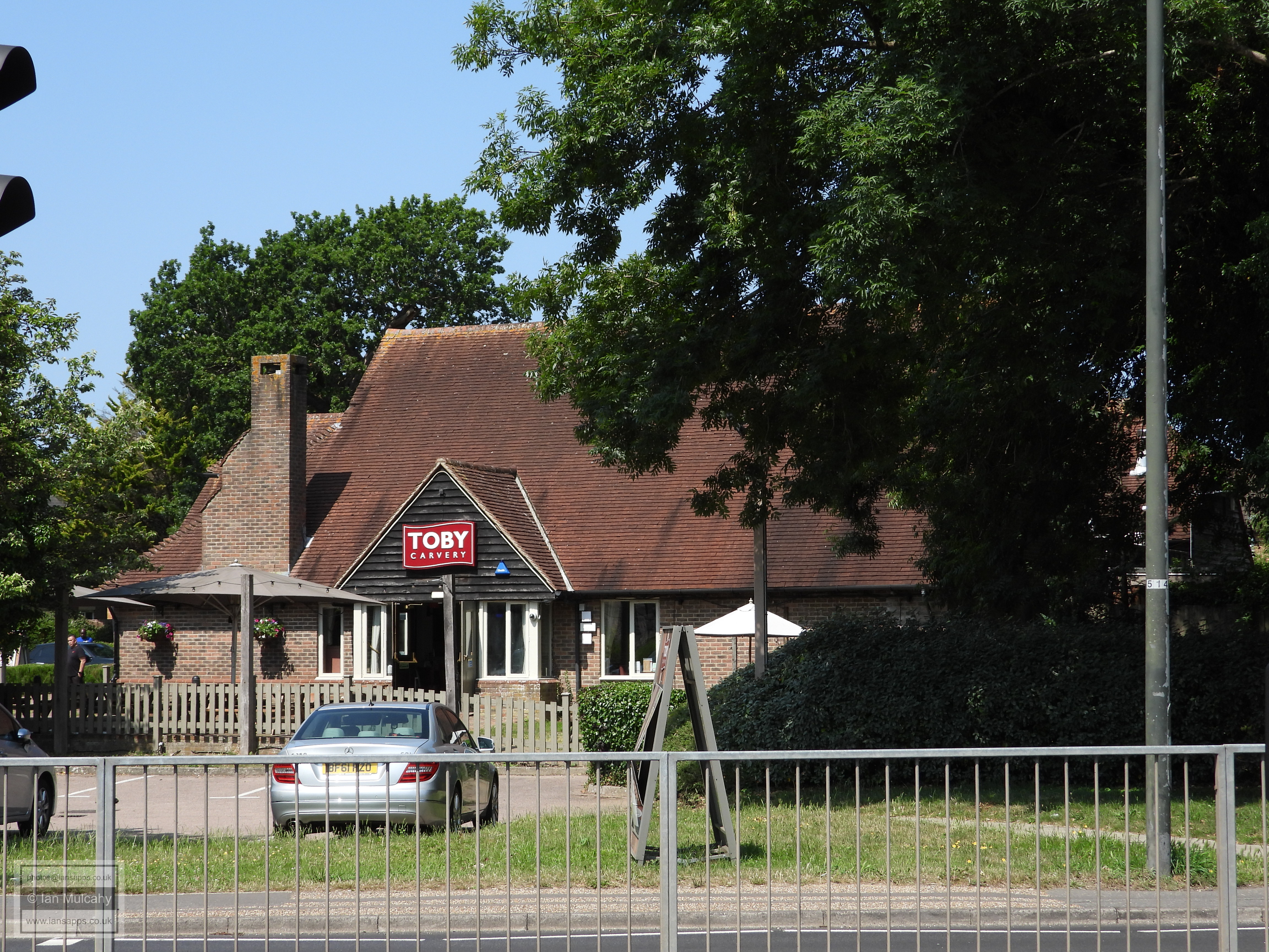
The Toby Carvery is based in a barn that can be dated precisely to 1642 and was formally the social club for APV, one of the largest new town employers based on Manor Royal.
Next door is Jordans, a 16th century farmhouse with extensions added in the 18th & 19th centuries. The 16th century range is to the rear and not visible from the A23.
A little further south is 'The Old House', built in the late 1600s and probably largely unnoticed by those passing on the London Road.
Boscobel House, a 17th century house opposite The Driftway and one of the few survivors at the northern end of the High Street.
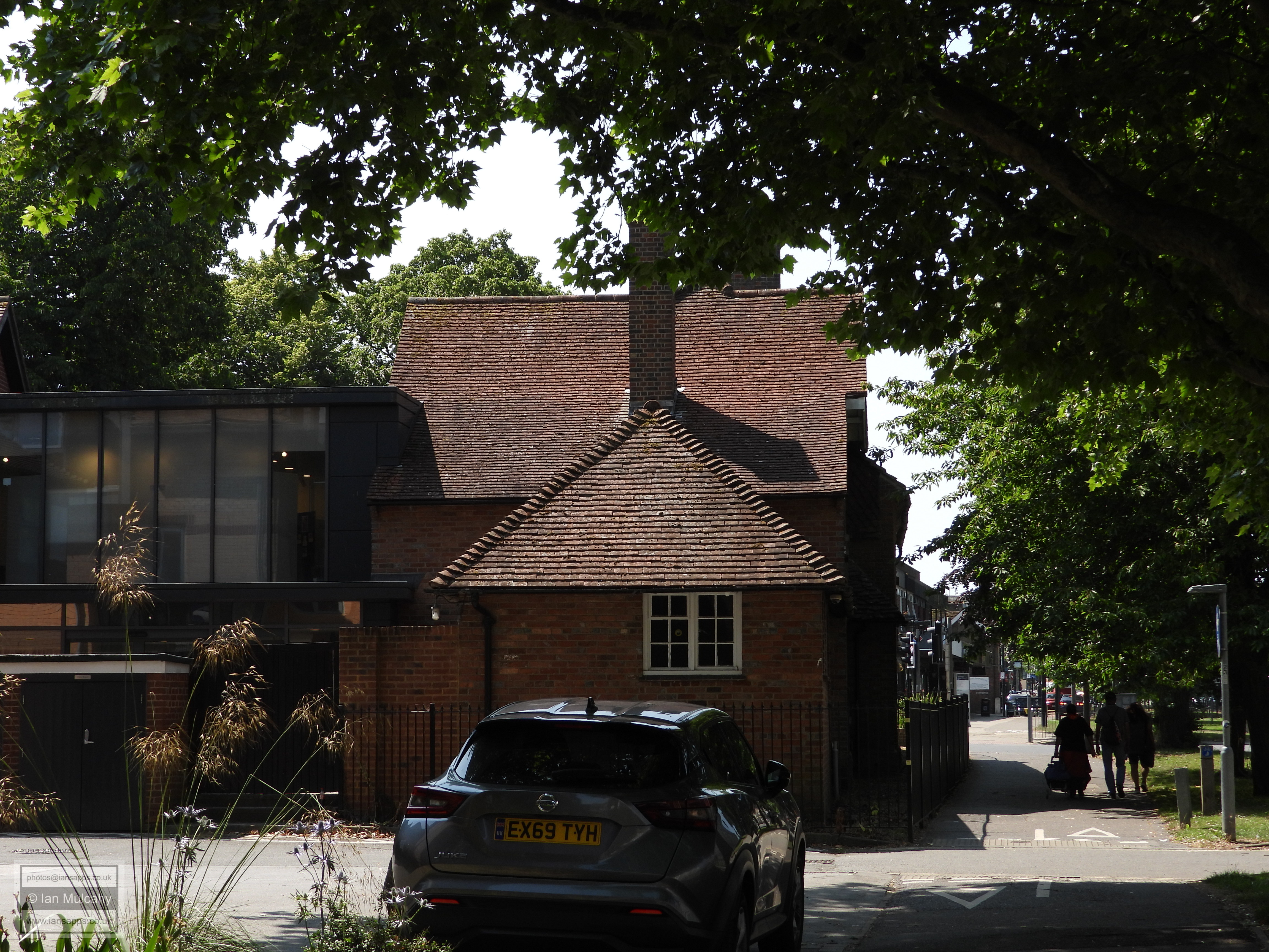
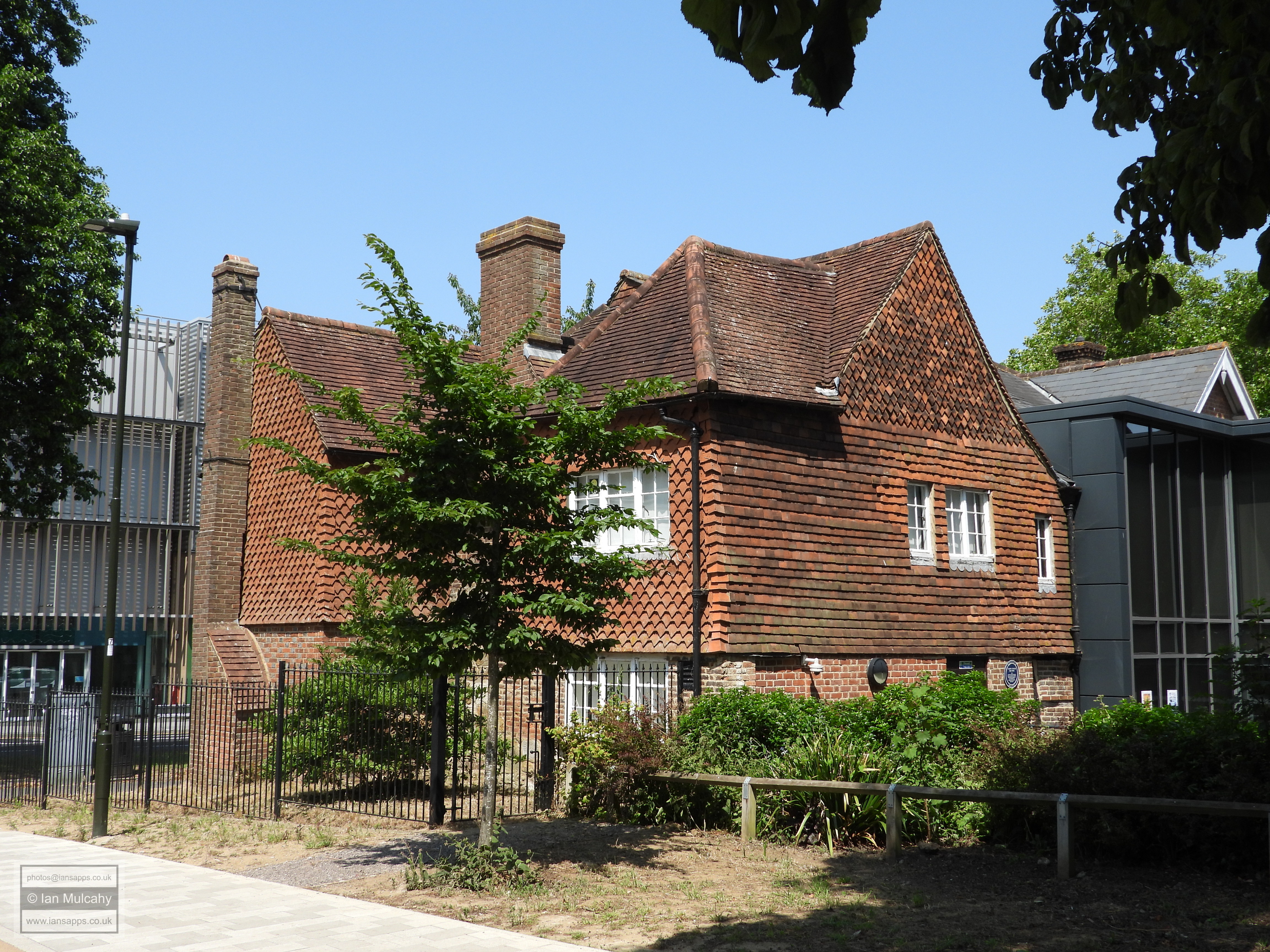
The Tree, home to Crawley Museum. Contrary to external appearances, this is the oldest (originally) residential property surviving in Crawley, with the timbers of the earliest range (the southern wing running east to west) having being dendrodated to 1328. There have been several extensions added in the 18th & 19th centuries as well as in 1936 (to the north). The brick skin was added during Victorian times, when hiding the timber framing was seen as a fashionable thing to do - a fashion which didn't serve the run of medieval buildings between the Punch Bowl and Brewery Shades very well when the wrecking balls of the 50s and 60s arrived.
With the Ancient Ifield Exhibition, which I have contributed much material to, currently open I decided to take a break for half an hour to sit in the shade and have a chat with Richard Symonds and David Moon who, along with Iain Dickson, Sally-Claire Fadelle and all the staff and volunteers at the Museum, have been instrumental in putting the exhibition together.
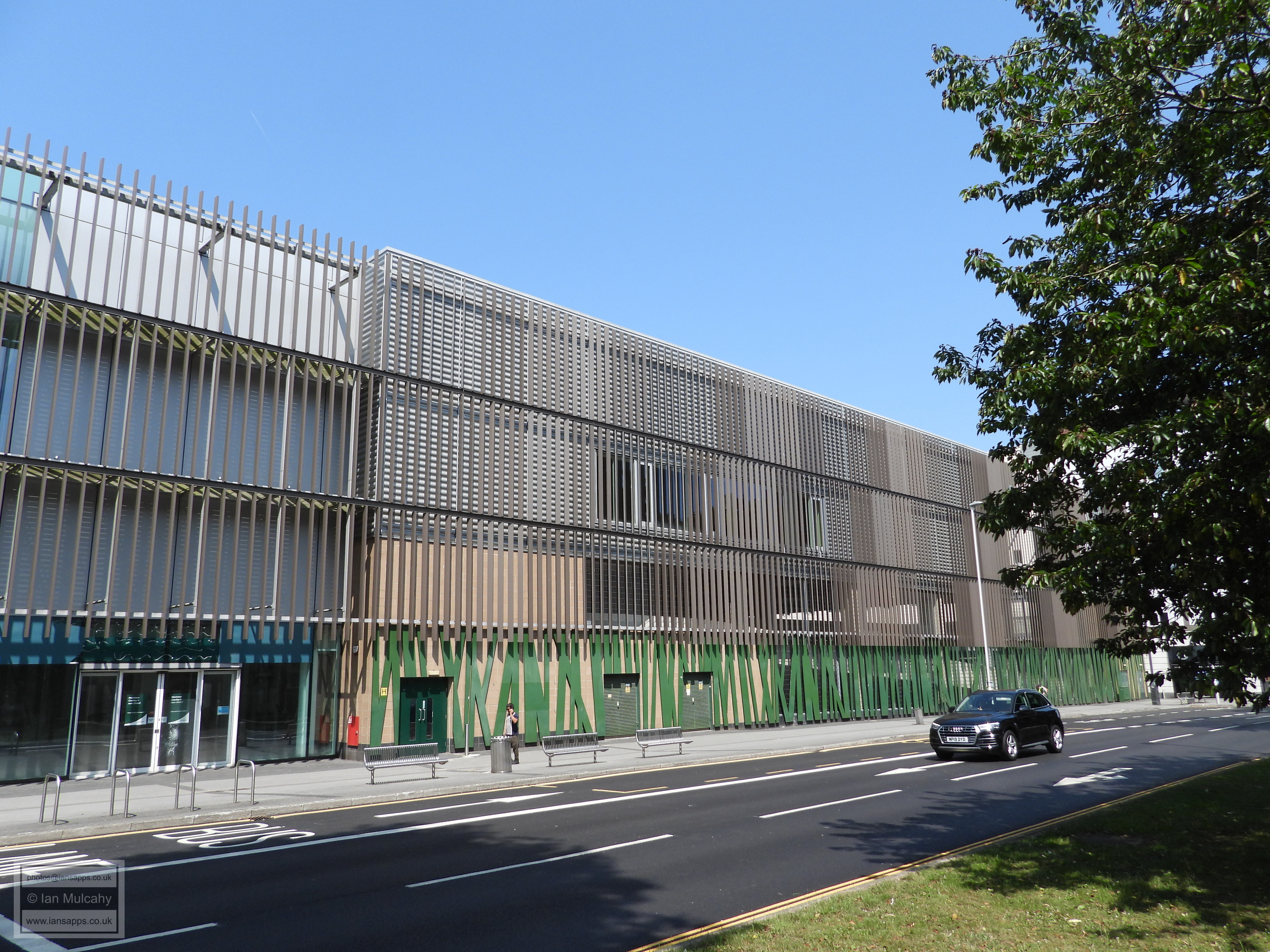
The modern, opposite.
The gable to the right is the eastern end of the 1328 range.
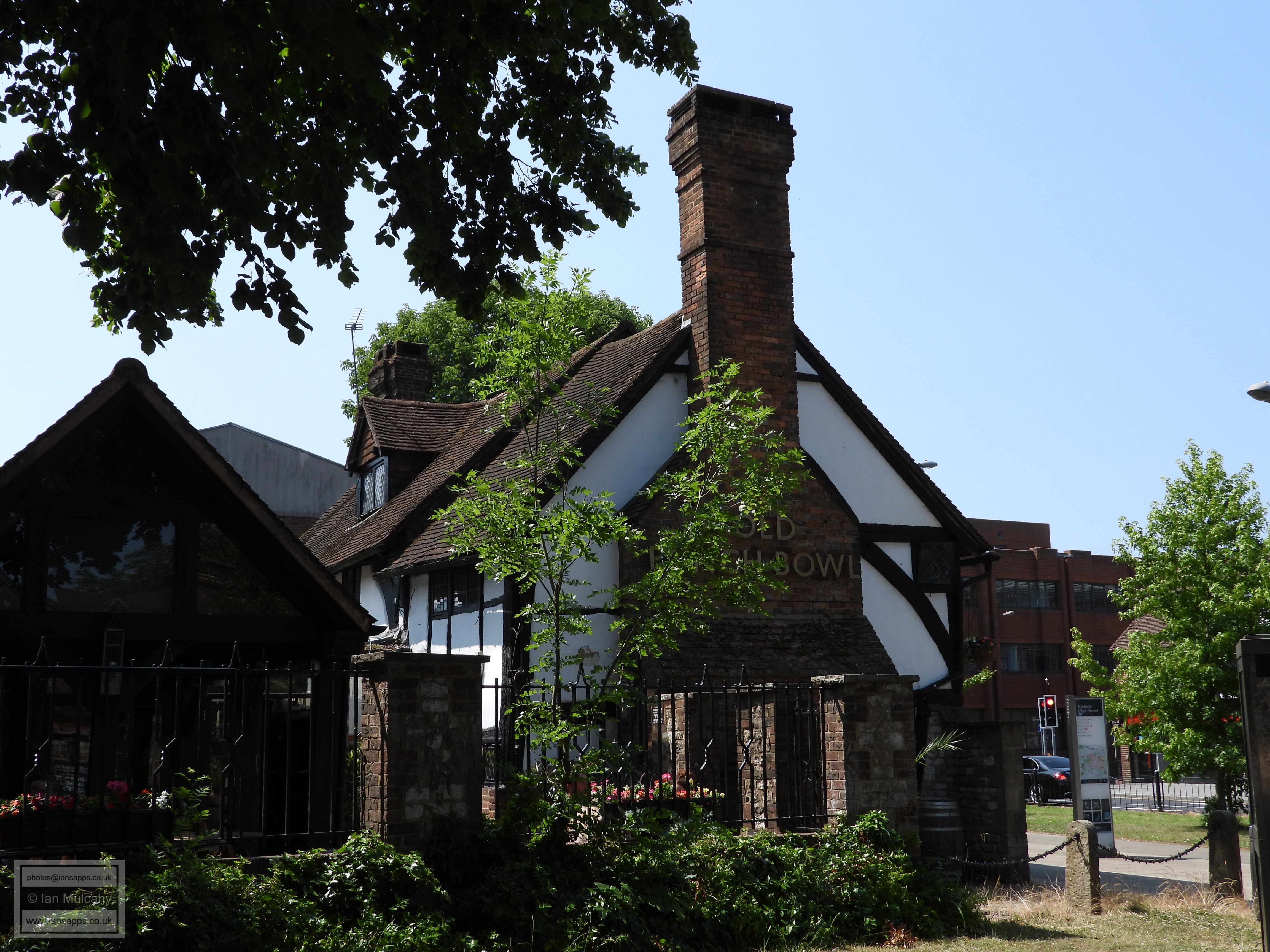
The Punch Bowl, formally Mitchells Farm and dating to 1450.
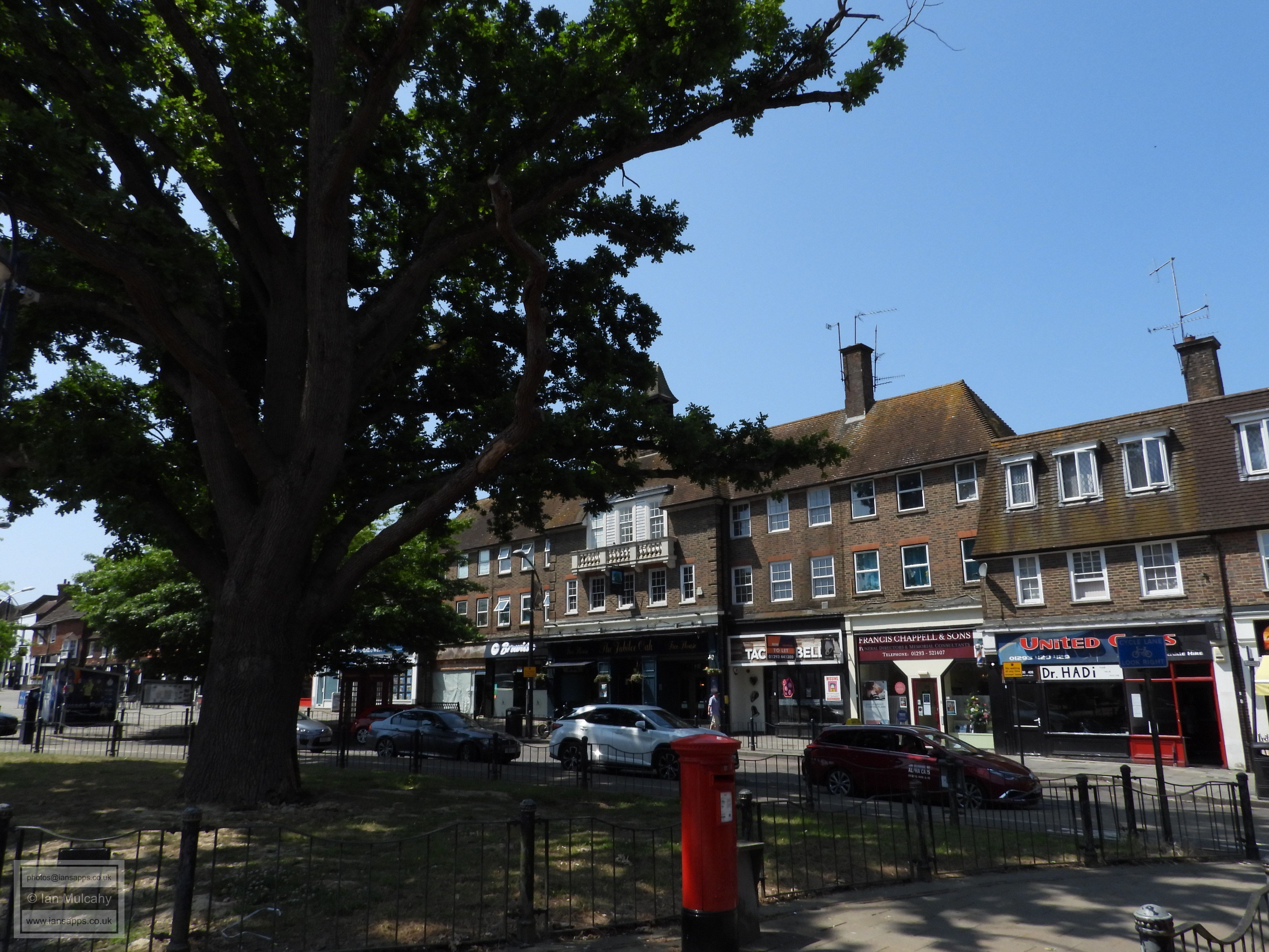
Grand Parade and the Jubilee Oak, which was planted in 1887 to celebrate Queen Victoria's Golden Jubilee.
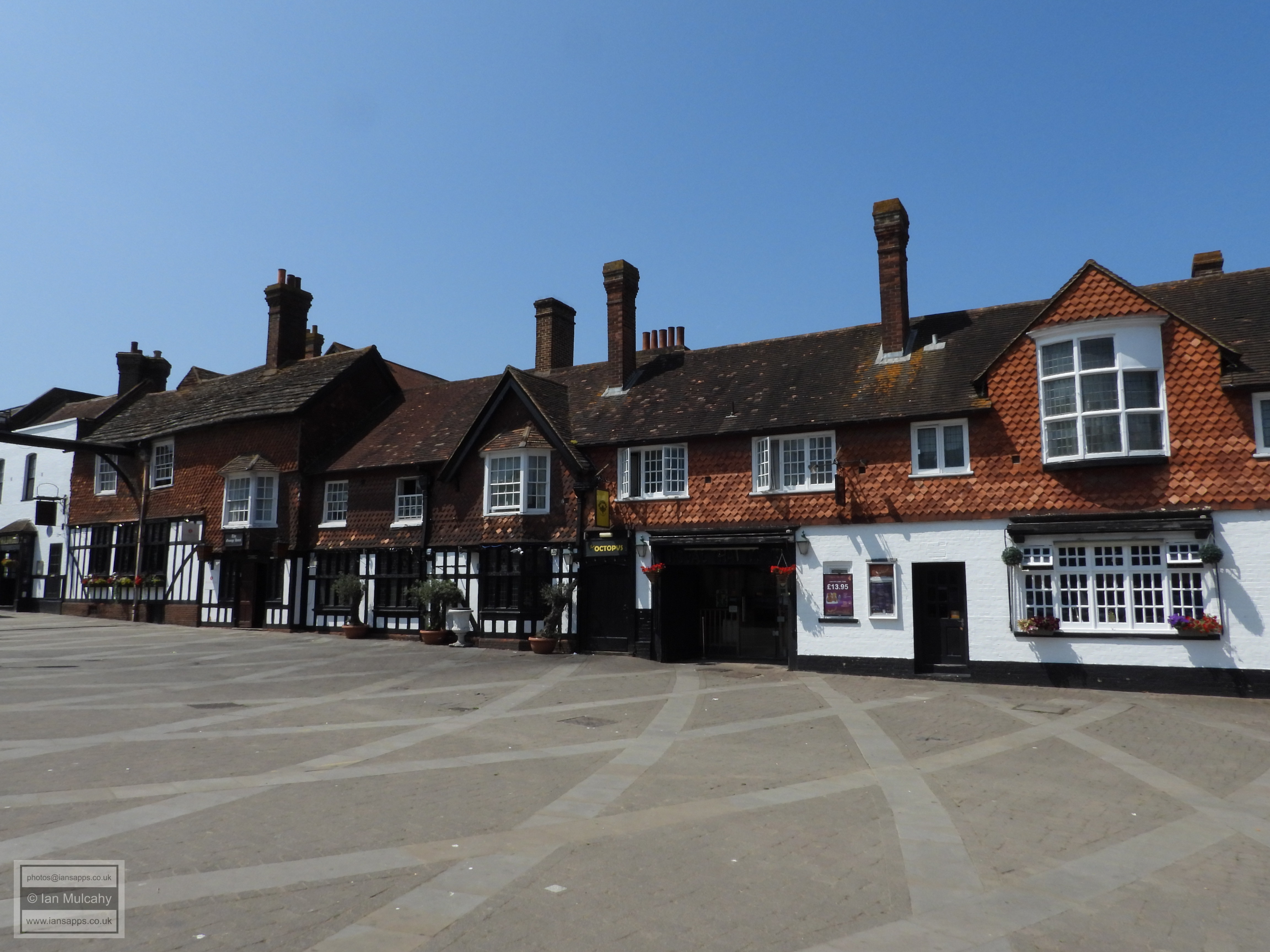
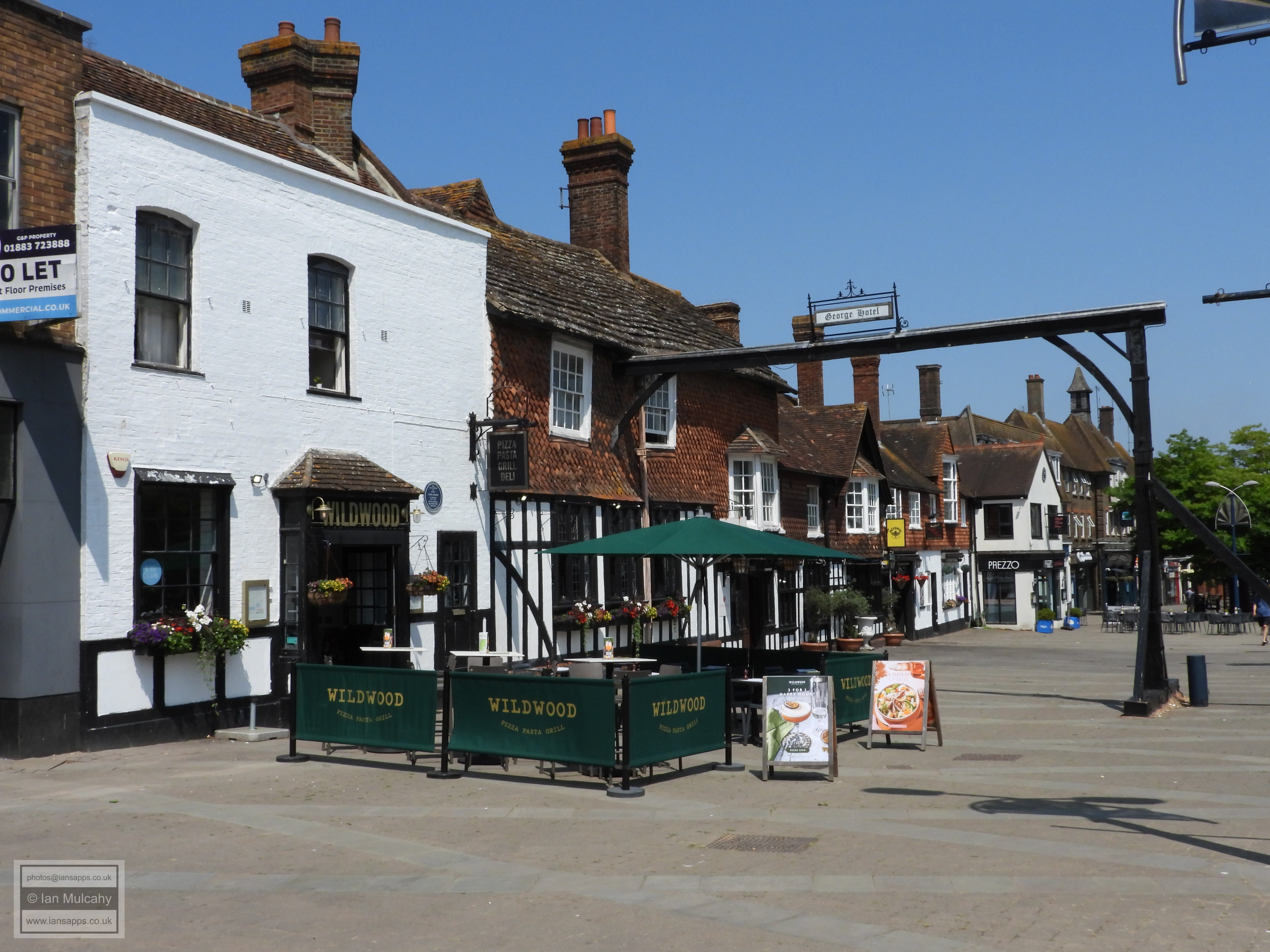
The earliest part of the George is a residential open hall house which dates to the early to mid 15th century, this being the central section of the modern whole. Several additions and reconfigurations have been made, both in the later 15th and early 17th centuries as well as in modern times. It has been an inn since at least 1580, benefitting from its position at the halfway point of the what was the main London to Brighton route until 1938, and one with an esteemed guest list which includes George IV, Queen Victoria & Lord Nelson. Queen Elizabeth II dined at the George in 1958 and, more infamously, John Haigh, the acid bath murderer, stayed at the hotel on numerous occasions and dined there on the day that he killed one of his victims.
The original early to mid 15th century house is identified by the two upper floor windows immediately to the left of the gable end of the cross wing (which itself was added as early as 1450) and, oddly, the window to the left of that in the higher range is in part of the original house. If you look closely at the bottom of the hood of this third window you can see a slight change in the structure where the southern bay of the first house has been built on top of by the taller range, which dates to c.1600.
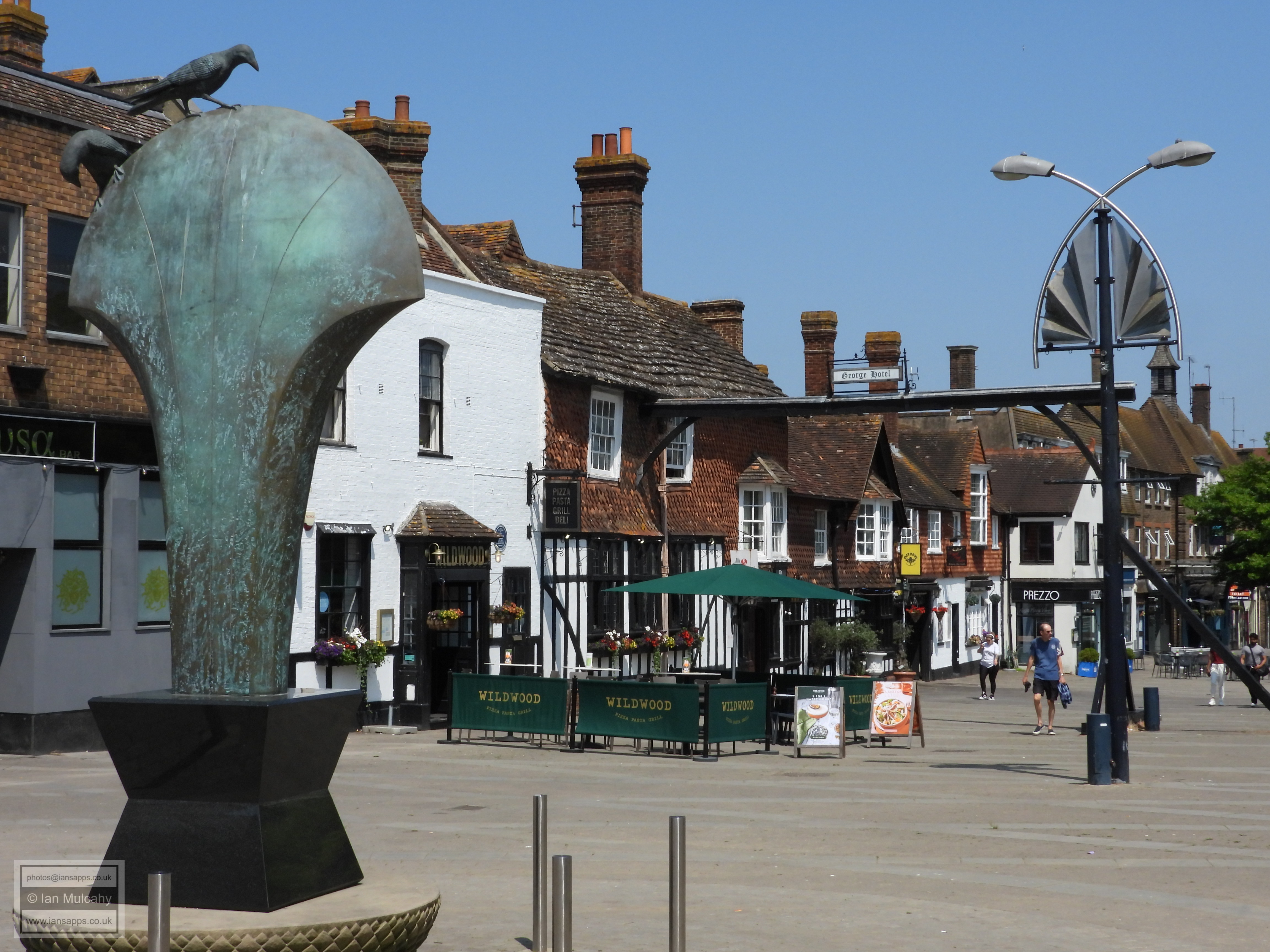
The gallows outside of the George were, contrary to popular local belief, NOT for carrying out executions. They are in fact market gallows, used for weighing livestock and produce on market days, so the only living creatures hanged from here were cows, pigs and sheep! The structure in situ now is not the original gallows.
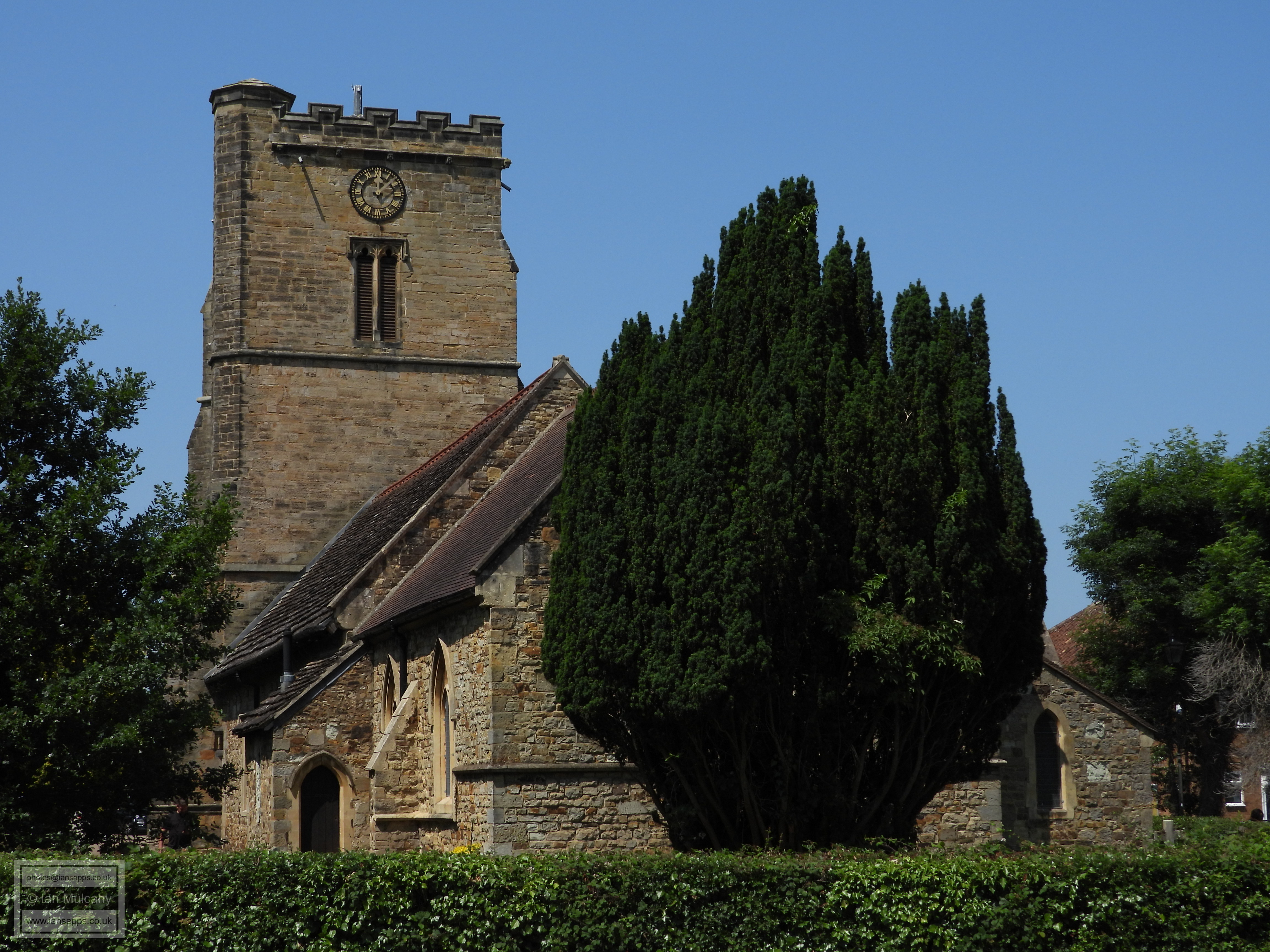
At the junction with Haslett Avenue I can turn eastwards and follow the parish boundary past St Johns, the Parish church of Crawley which was originally built in the 13th century as a chapel of ease for the Parish of Slaugham before Crawley became a parish in its own right. The tower was (re?)built in 1807 using old materials and the rest of the church was much restored in 1879 & 1880.
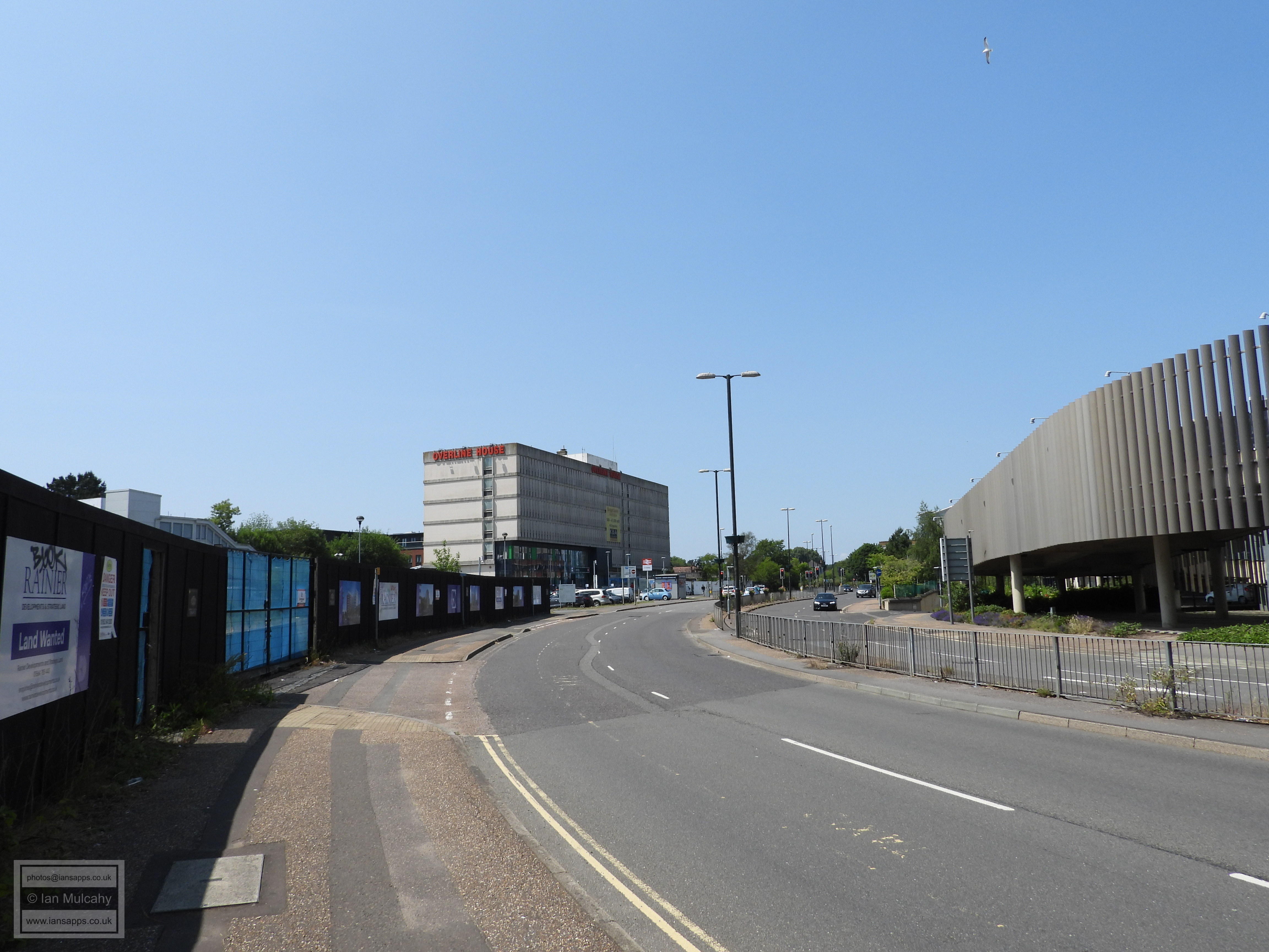
As I pass the Broadway, the boundary becomes one with Worth parish, rather than Crawley, and the boundary cuts diagonally through County Mall - not something I can do, so I turn right and walk through the bus station and then turn left along Station Way.
The Friary Church, A mere youngster, dating to the 1950s!
The line of trees in the centre of the picture mark the eastern side of Malthouse Lane which, as well as being the parish boundary, provided access to Malthouse Farm from Three Bridges road, joining it by the gates to the Memorial Gardens. Until fairly recently the trees lining the west of Malthouse Lane were also extant, but these were removed for development when the nightclub was demolished.
As the railway prevents me following the boundary, I continued to Southgate Avenue and turned right.
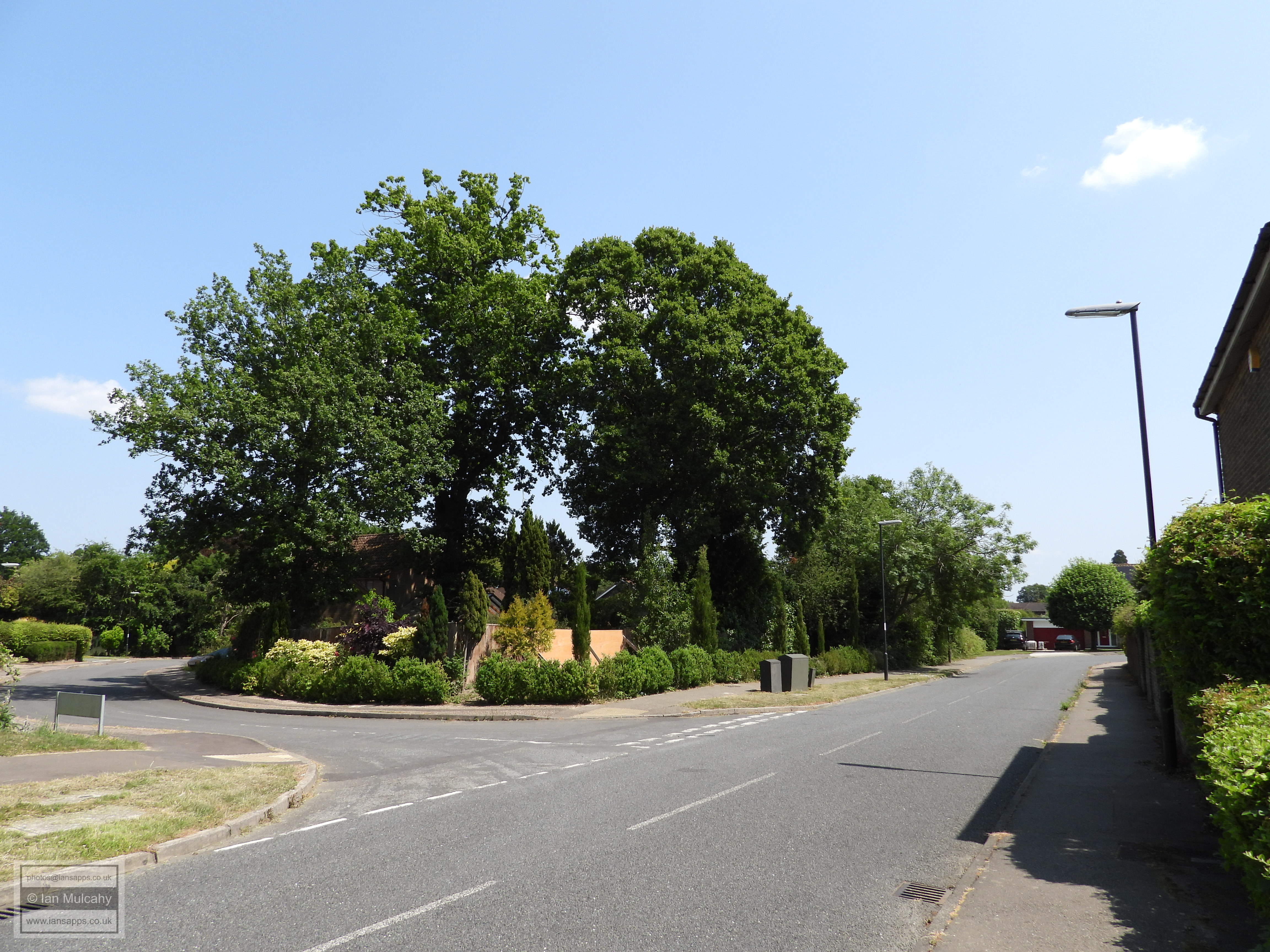
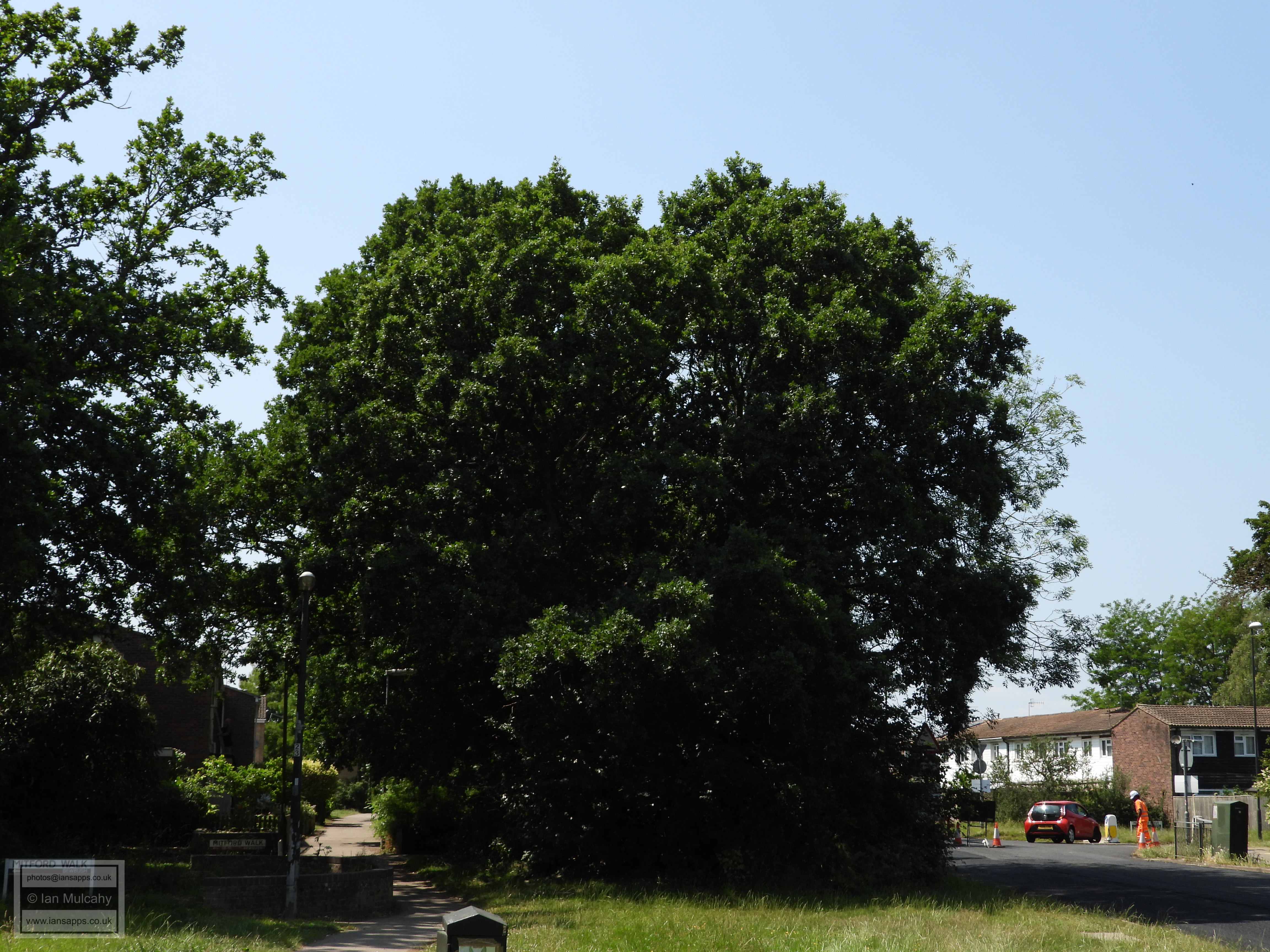
Outside St Francis School at the bottom of Southgate Drive I am once again able to pick up the boundary, albeit briefly, and this is another section marked by a line of old oak trees. This line can be traced, with small gaps, all the way to Holmbury Close, off Chanctonbury Way, in Southgate West, but I am unable to follow it exactly due to the presence of peoples houses and gardens!
Southgate Parade
The oaks behind these houses in Sullington hill continue the line of trees marking the boundary first encountered outside St Francis School
And again behind the houses of Kithurst Close...
...along Chanctonbury Way...
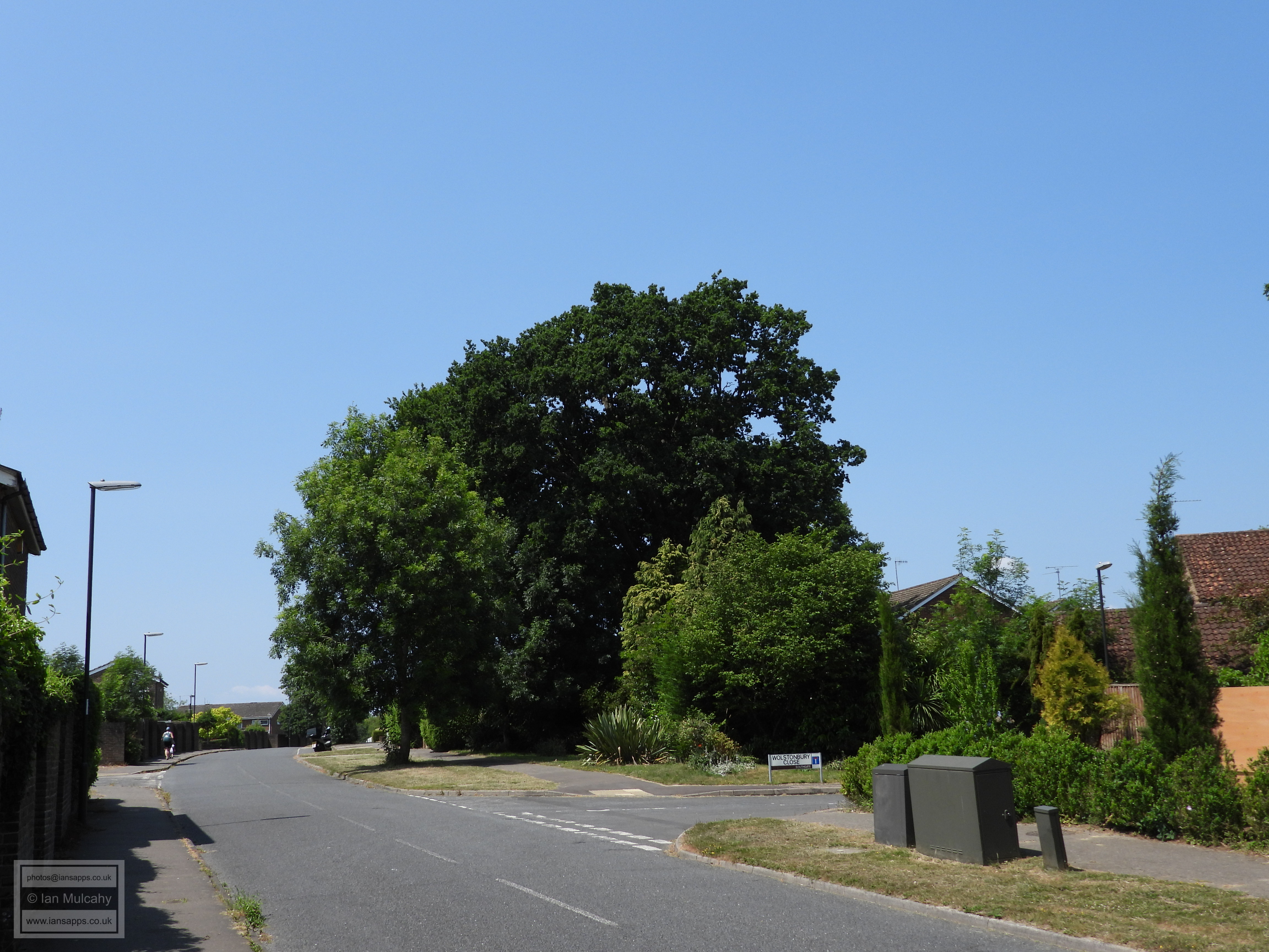
...until just after Wolstonbury Close, where a sharp turn to the south is marked by a couple of substantial oaks.
I now turn south and walk along the boundary line through Holmbury Close from where I cut across Captains Walk and through Caburn heights, almost on the boundary, before crossing Downland Drive and heading into Dovedale Cresent.
The new(ish) houses on the former car park and underground garage complex behind Southgate West shops.
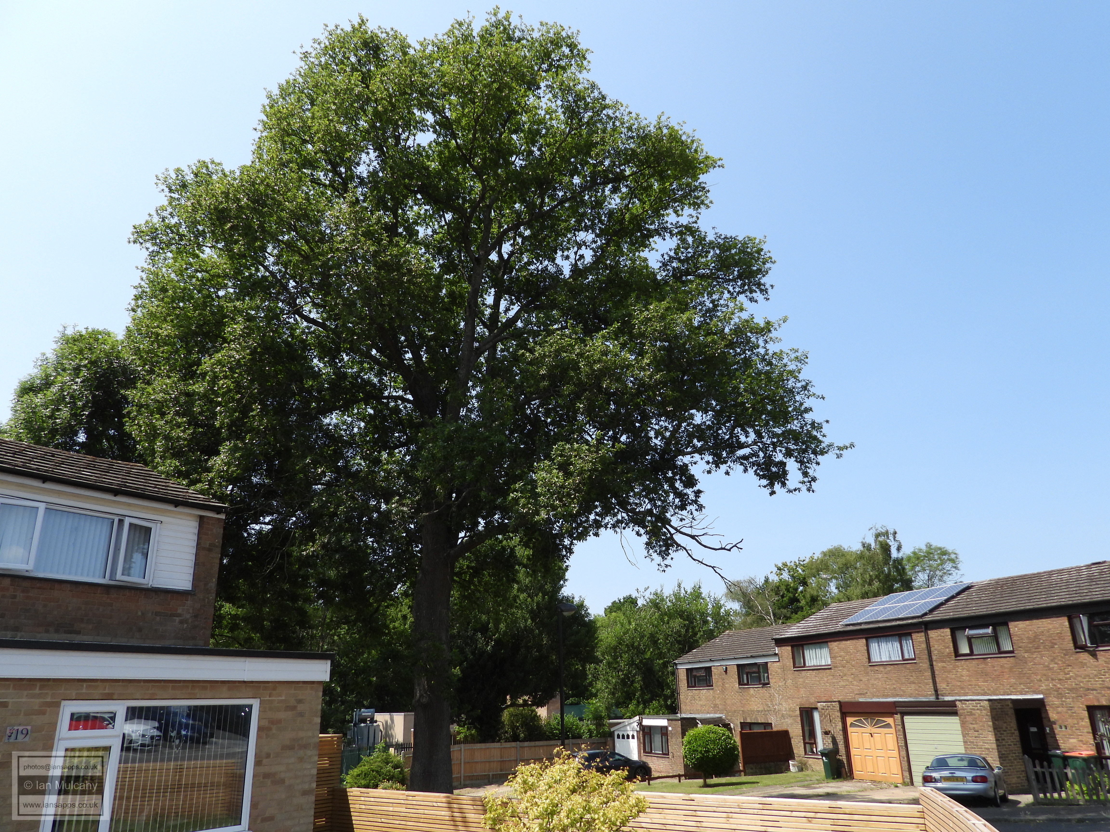
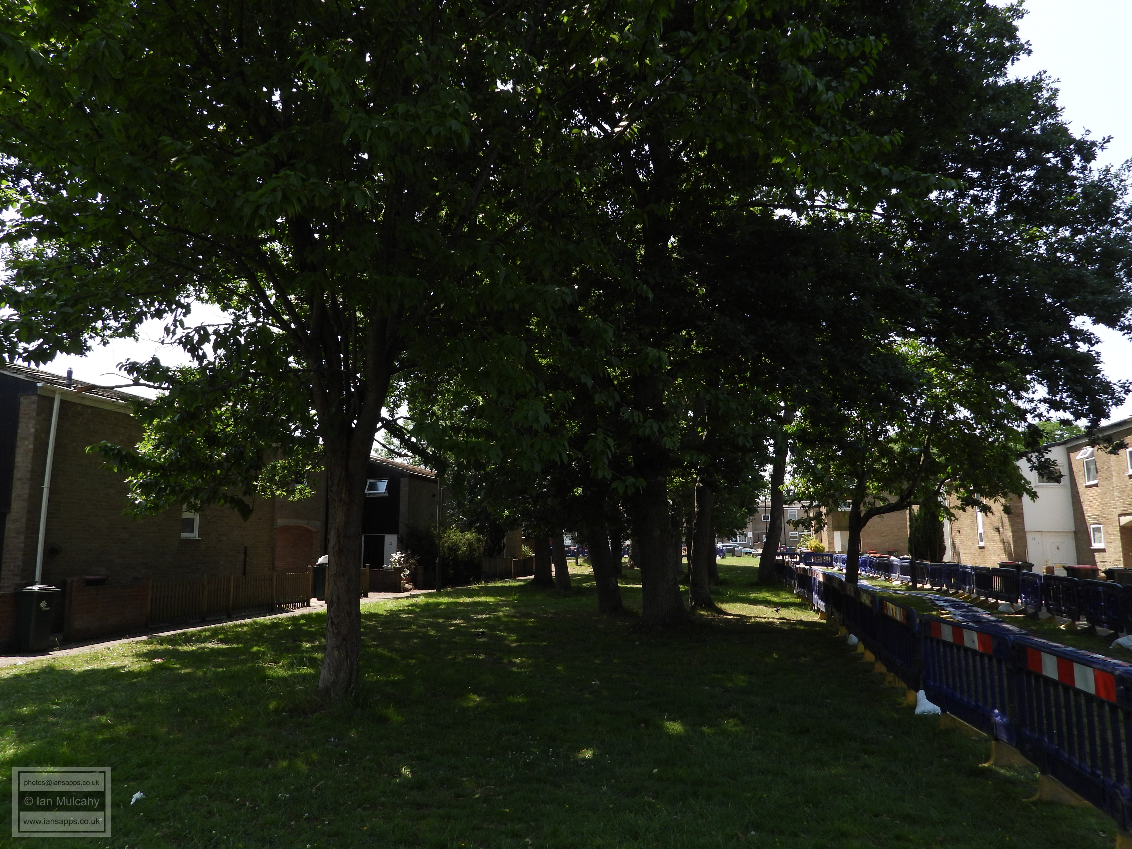
The boundary cuts through Patterdale Close and there are a handful of oaks marking this.
At the end of Patterdale Close the boundary goes straight across the A23 and into Broadfield. As I am unable to get through the hedgerow here I walk down to the pedestrian crossing near Cheals and into Broadfield Brook Wetlands
Via Calderdale Close
The boundary cuts across Colonsay Road, Lismore Crescent and Broadfield Drive, so I took a route through Arran Close and Lismore Crescent to get to Broadfield Drive
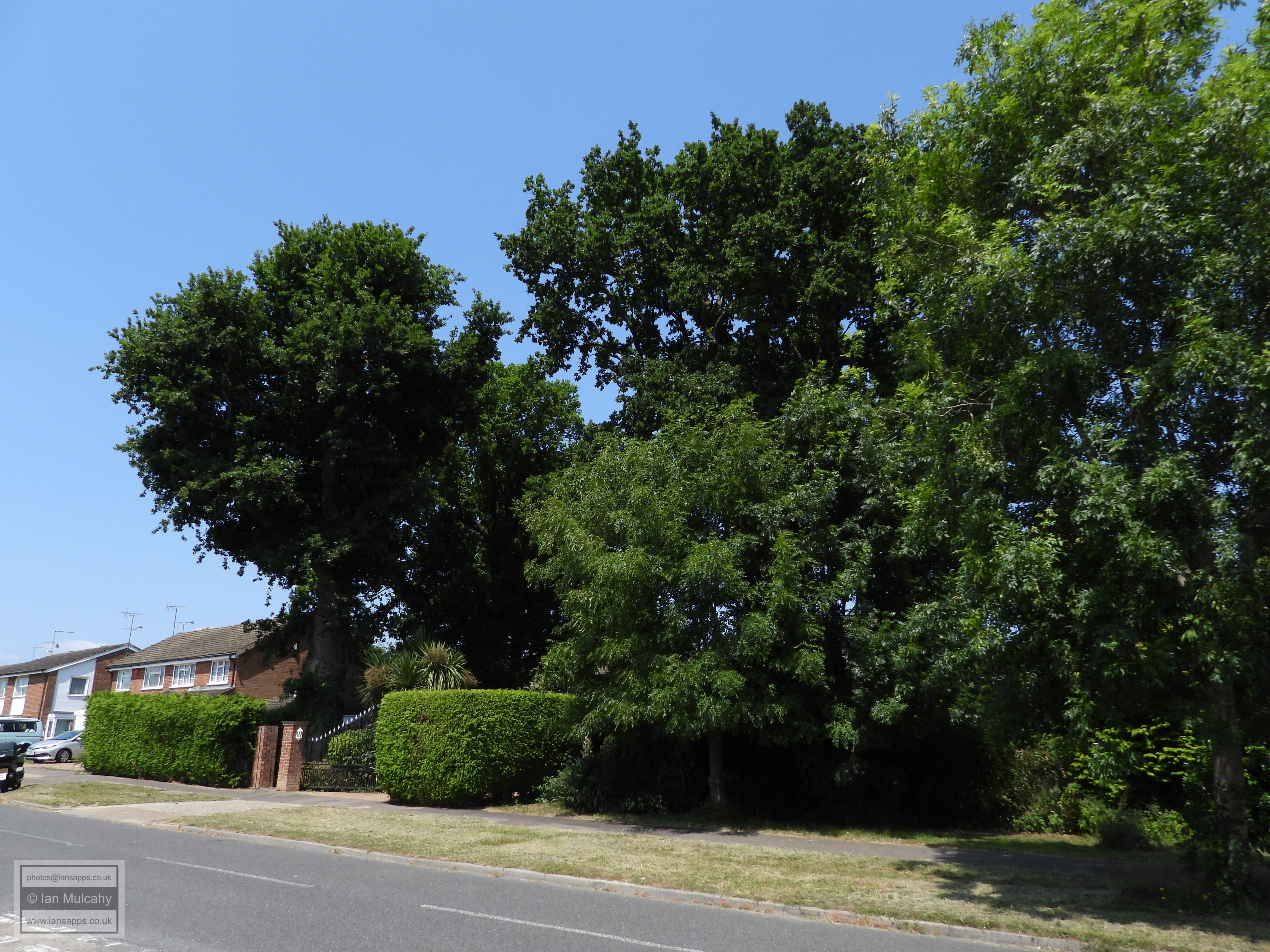
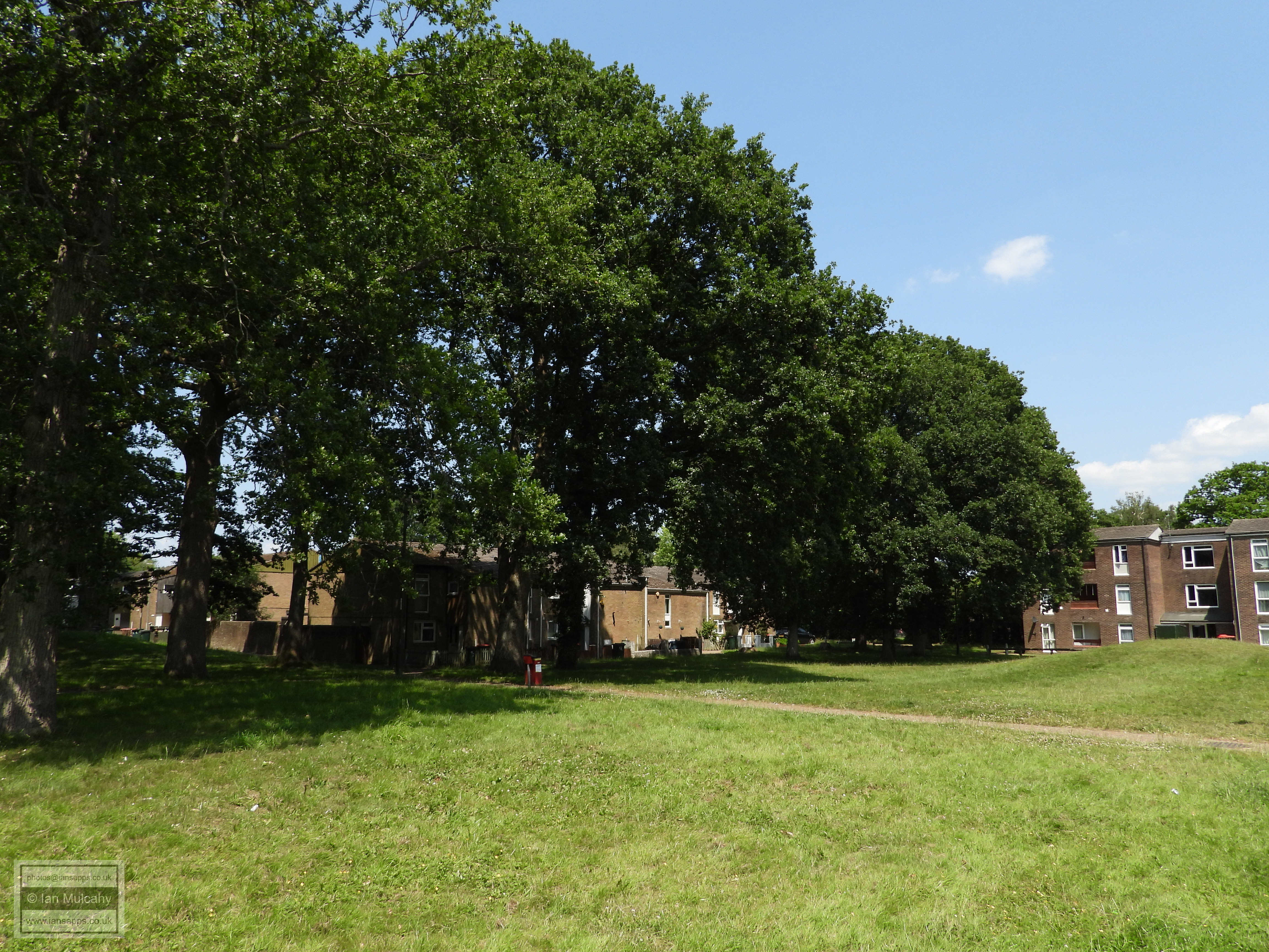
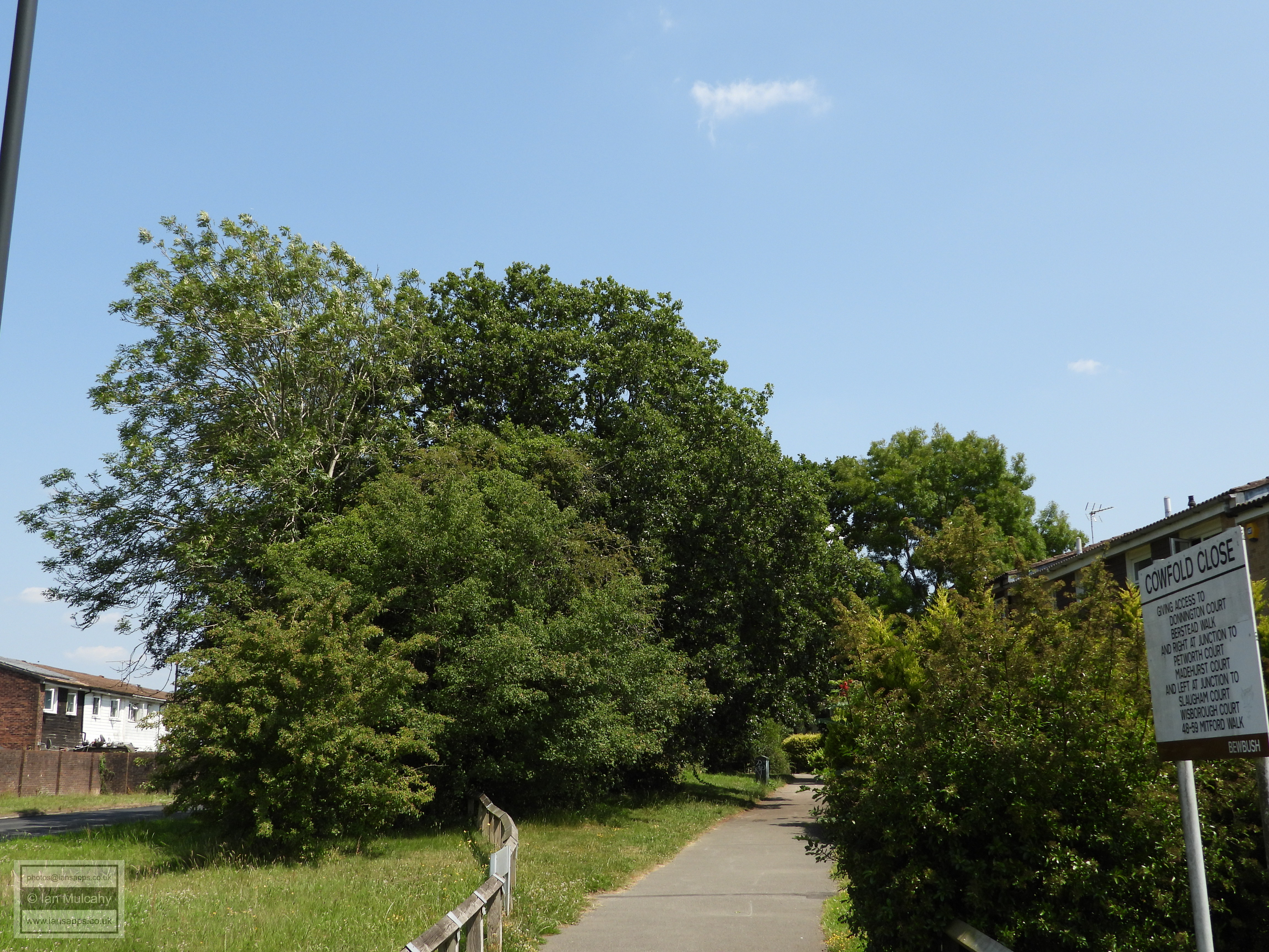
and into Heather Walk, where I could pick up the boundary again marked by a 350 metre long line of oaks, which continue across Seymour Drive and into the grounds of Seymour Primary School.
Diverting along Trefoil crescent and crossing Pelham Drive to access Selsey Road via the zig zag path I was heading towards Beachy Road...
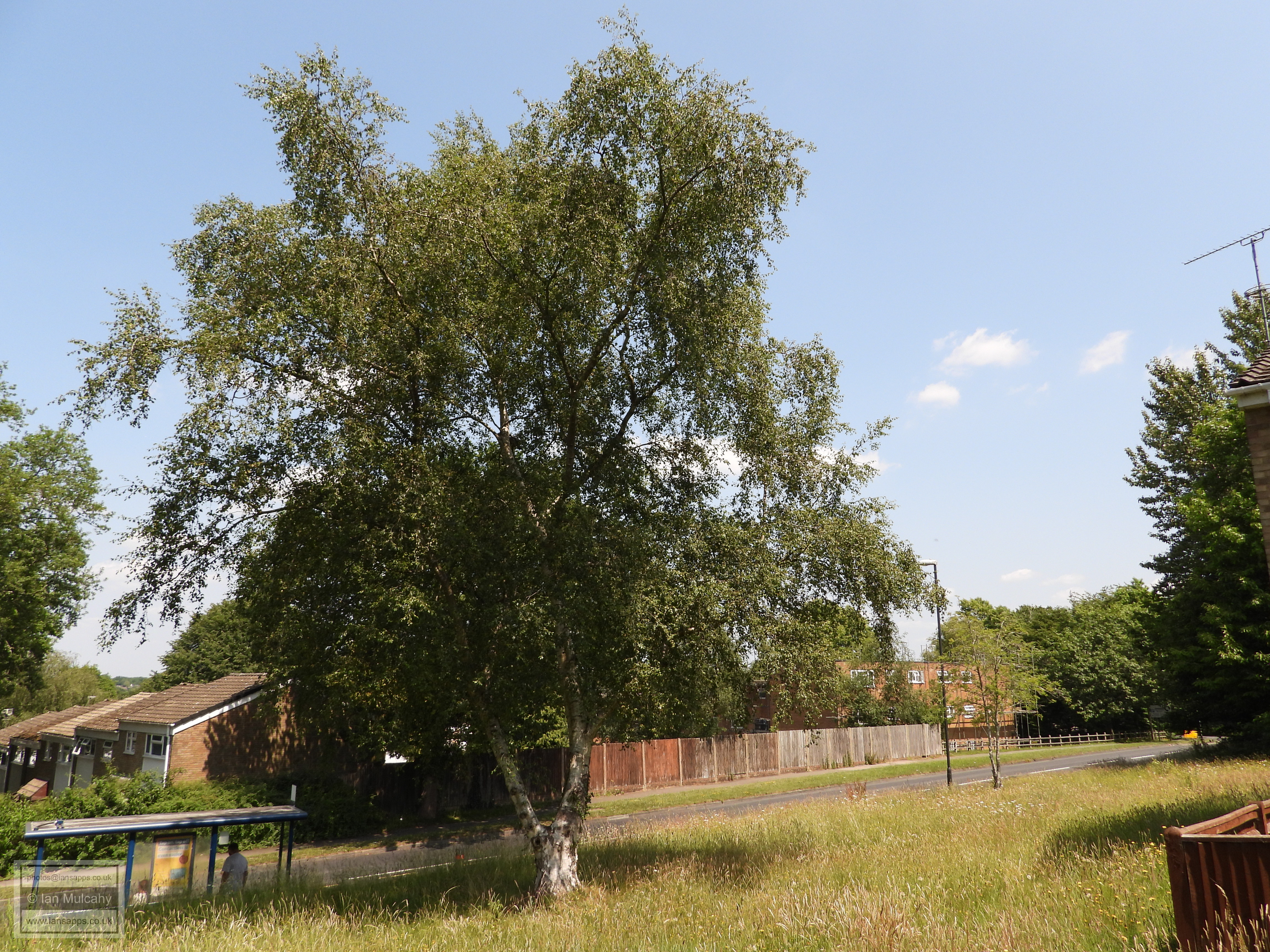
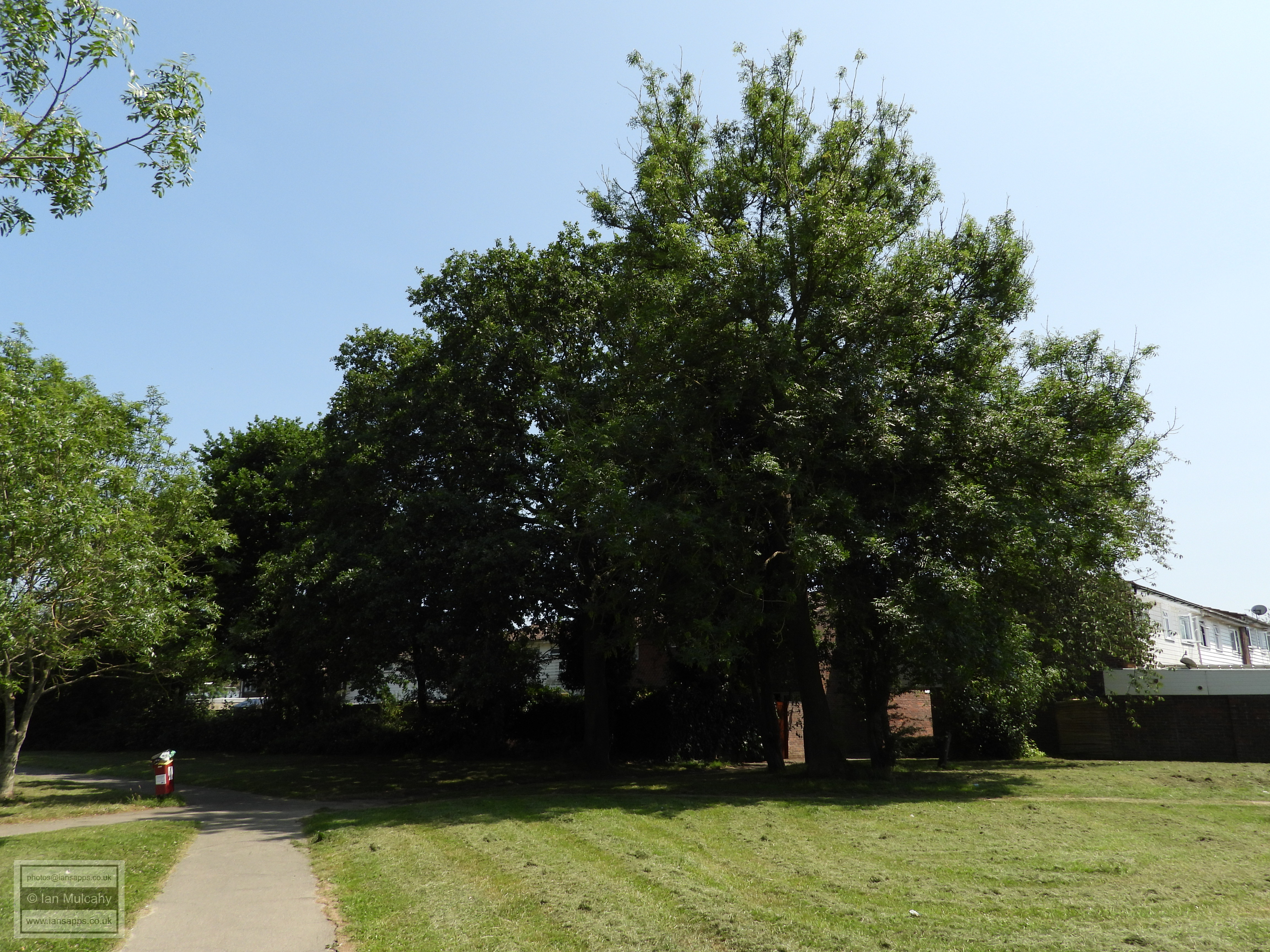
...from where I turned right after 75 metres towards these trees, which sit on the boundary, though these were once a part of Broadfield Forest rather than being part of a hedgerow.
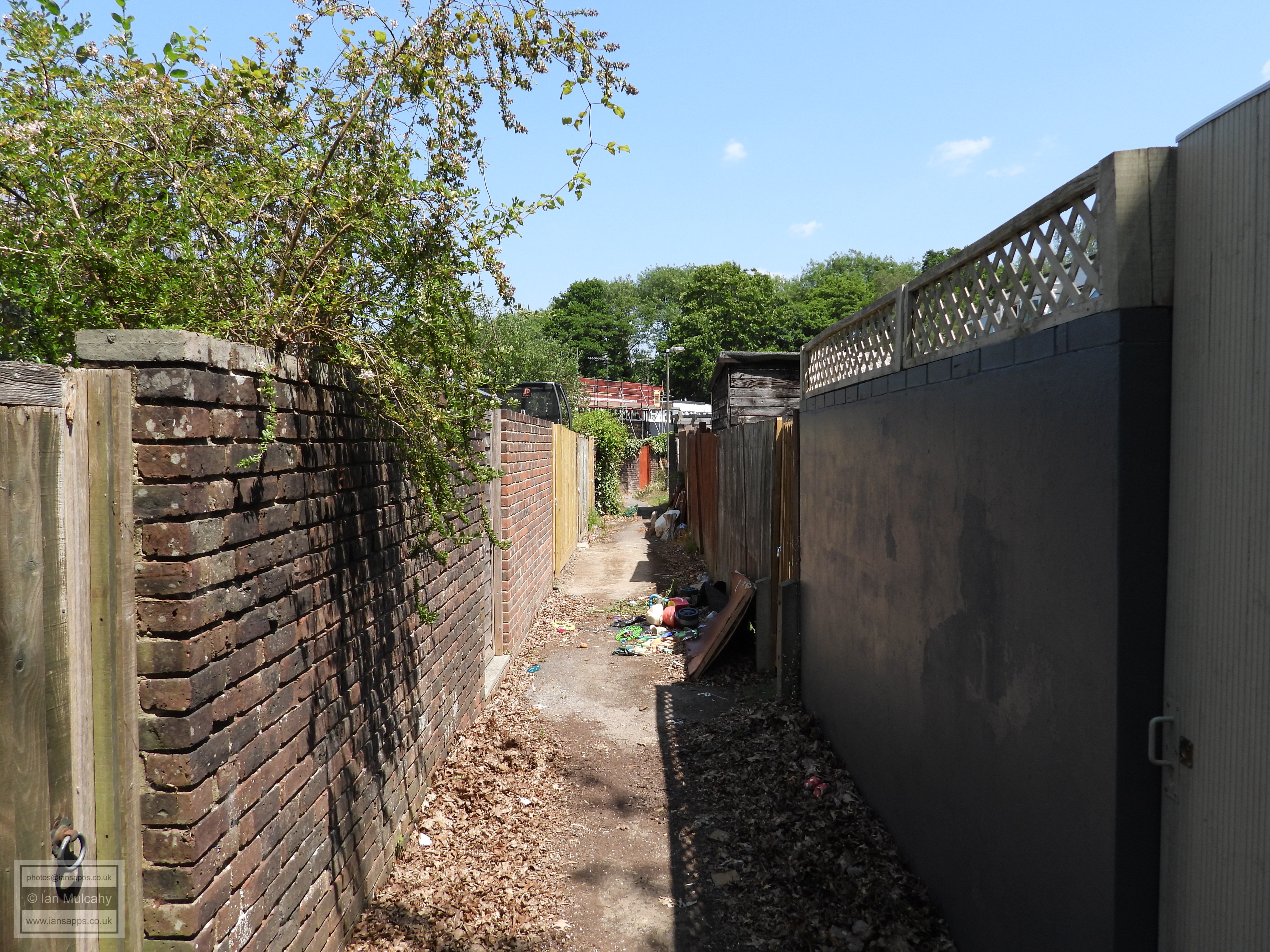
After a little left turn through another little green area between the houses of Beachy Road and Seaford Road I headed down the alley splitting Longhurst and Seaford Roads towards the pathway alongside Creasys Brook. This alleyway follows the parish boundary exactly, including the little kinks and bends.
The boundary then turns through 90 degrees again and follows Creasys Brook as far as the pond, with the bridge roughly aligned with the boundary so I crossed the brook and followed the path out onto Broadwood Rise.
Having first turned right instead of left, I retraced my steps for 50 metres and followed the boundary along Hobbs Road.
Just after the junction with Edrich Road, as Hobbs Road veers to the right, the boundary keeps going for another 150 metres, to just the other side of the A264. Obviously I couldn't follow that so turned straight into Target Hill nature reserve to pick it up again, as this small finger of Parish is only around 50 metres wide here.
An immediate right turn keeps me very close to the boundary until the path takes a 90 degree left, and the next right takes me back across the boundary just before I exit Target Hill onto Jersey Road.
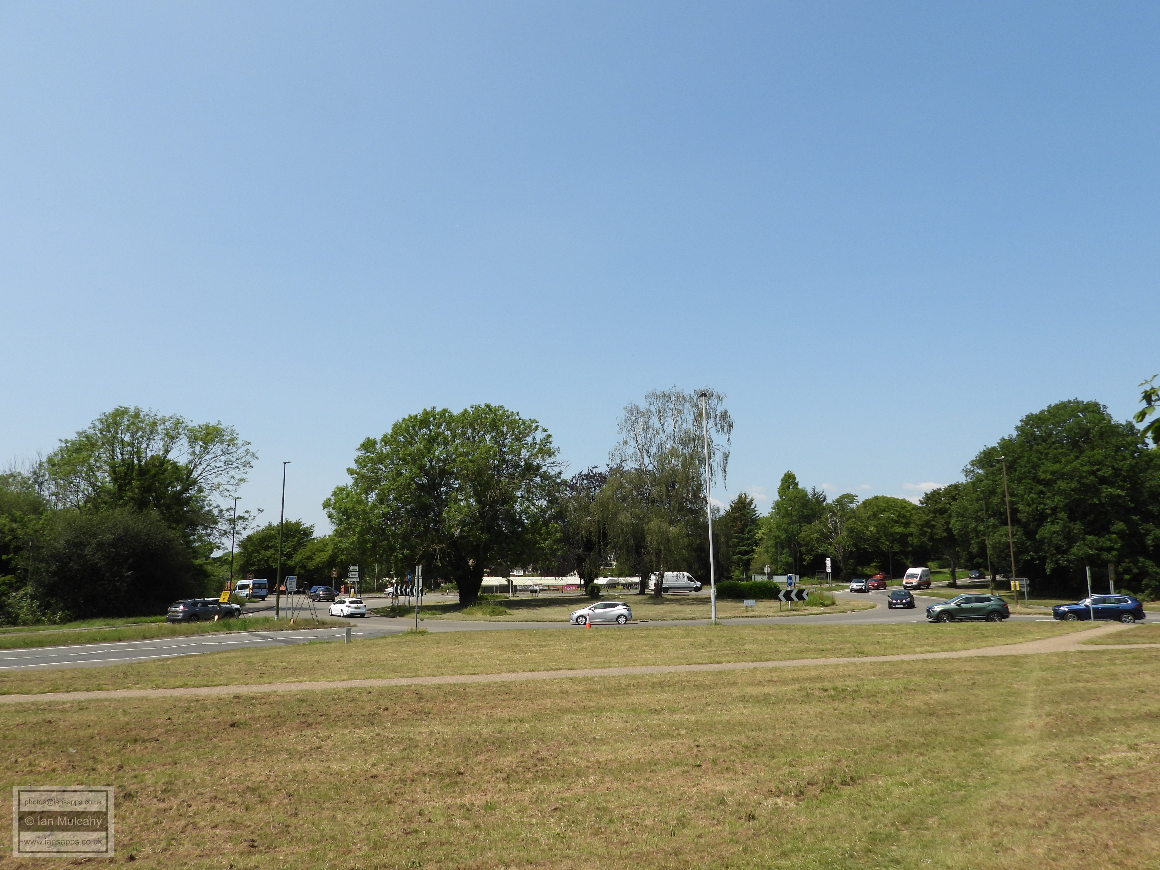
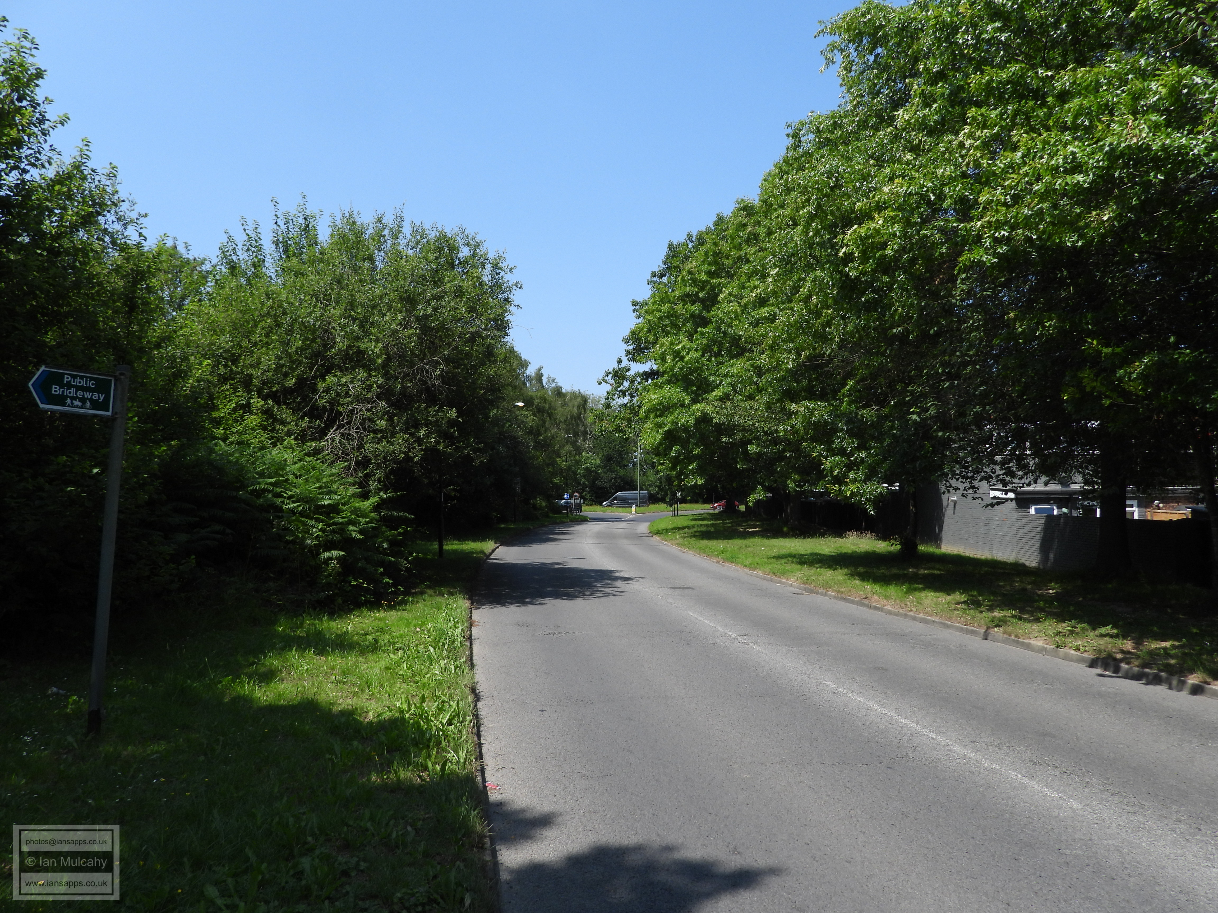
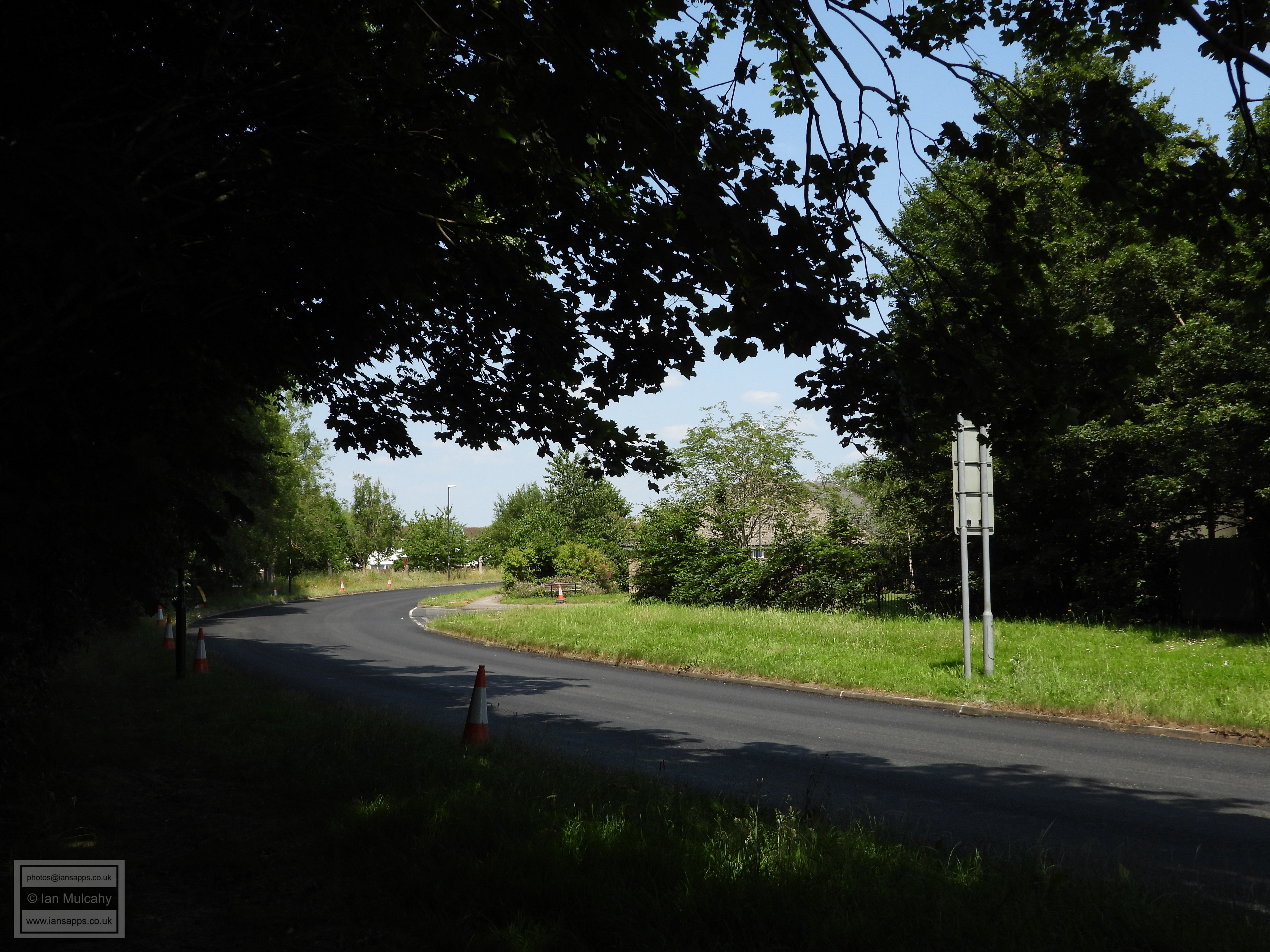
I took the Bridleway from Jersey Road to Pelham Drive, but the boundary follows Jersey Road and then through Breezhurst Roundabout into Bewbush.
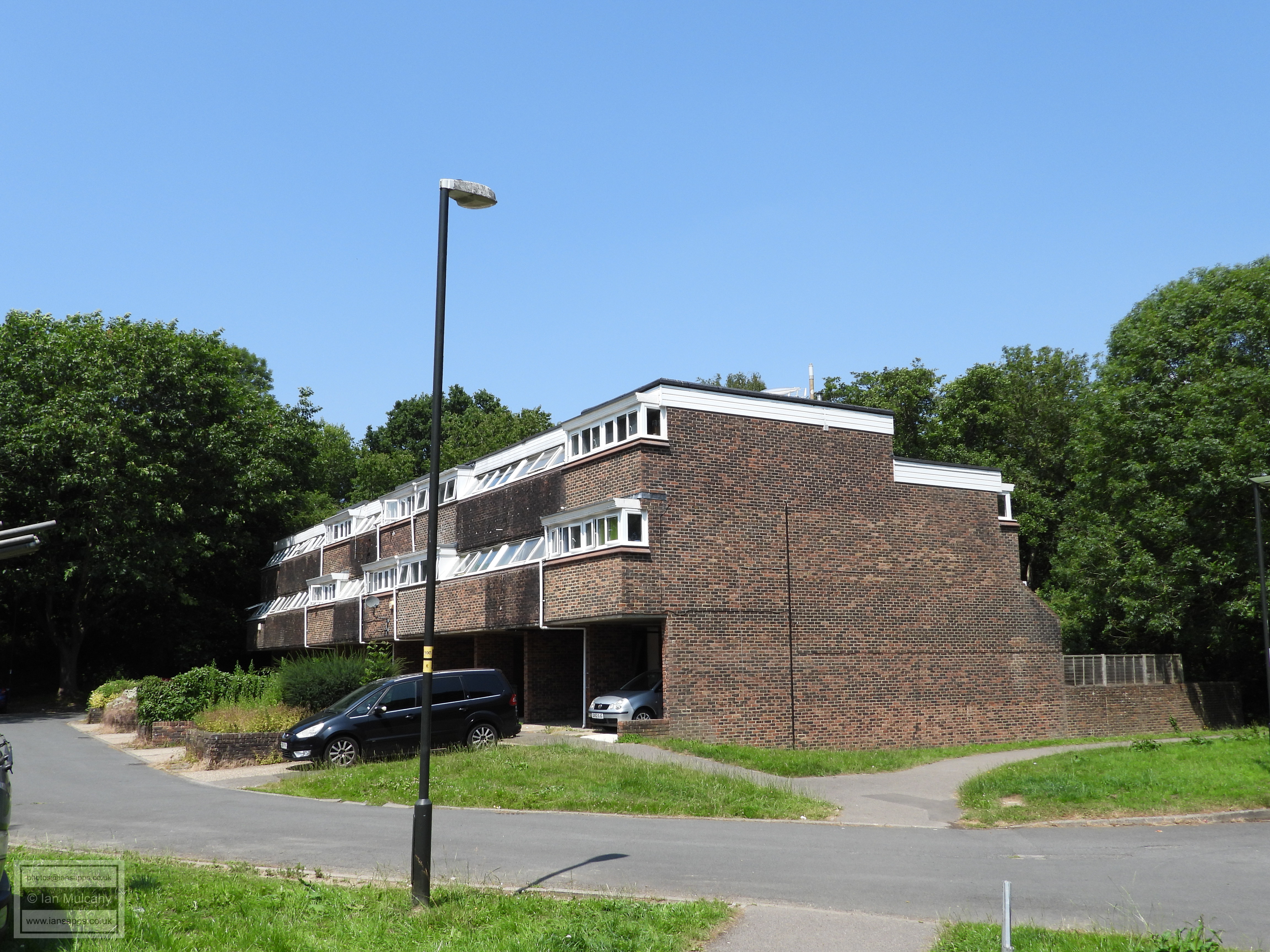
Plantain Crescent residents doing all in their power to dispel the stereotypes about Broadfield...
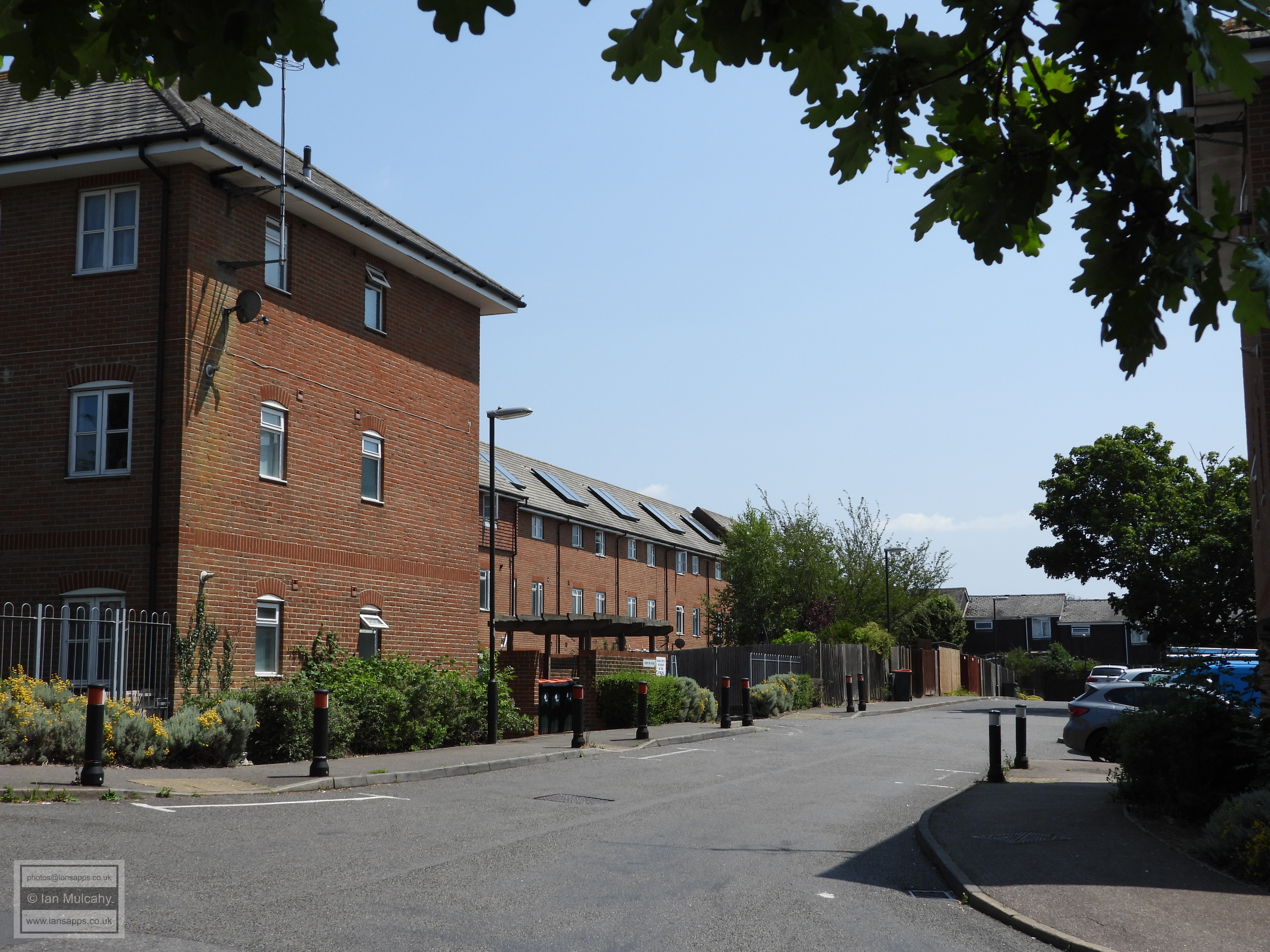
I took a more pedestrian friendly route to Bewbush, using the subway to Jewel Walk, climbing up the embankment into Kingsley Road and then Gunning Close.
Joining Curteys Walk, I am now broadly on the boundary again, following it to Bewbush Drive where it takes a sharp left westwards.
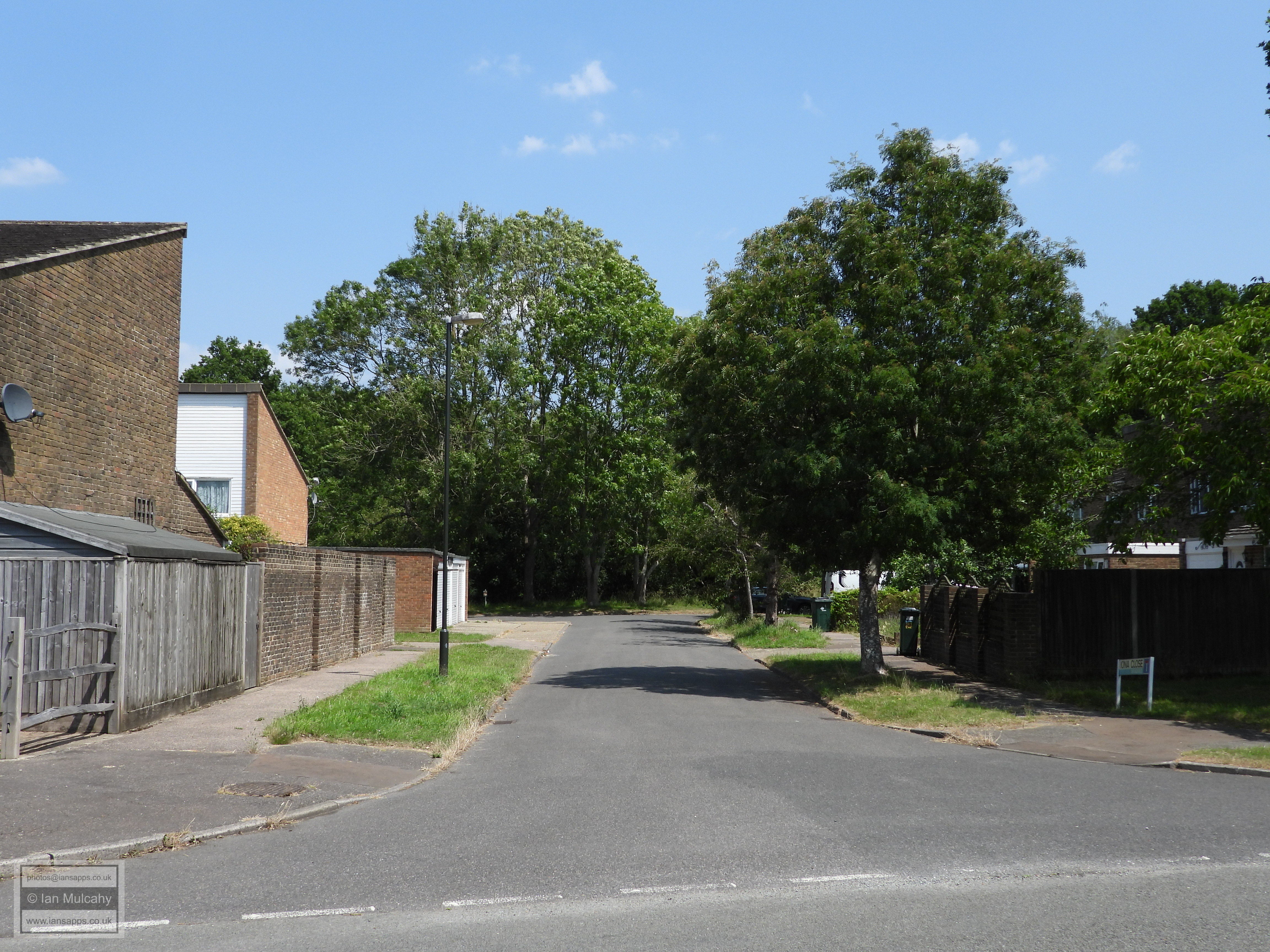
The 130m long line of trees opposite the end of Mowbray Drive mark the boundary
As do this little cluster opposite Elman Road, before it disappears under the houses of Byrd Road and Bittern Close.
Having passed beneath the dentists, it crosses Breezehurst Drive...
... before crossing the Dowster Brook and Ivory Walk
and splitting Bewbush Green Cricket pitch in two, taking a 90 degree turn north at the western boundary of the pitch through Saturn Close and Andromeda Close.
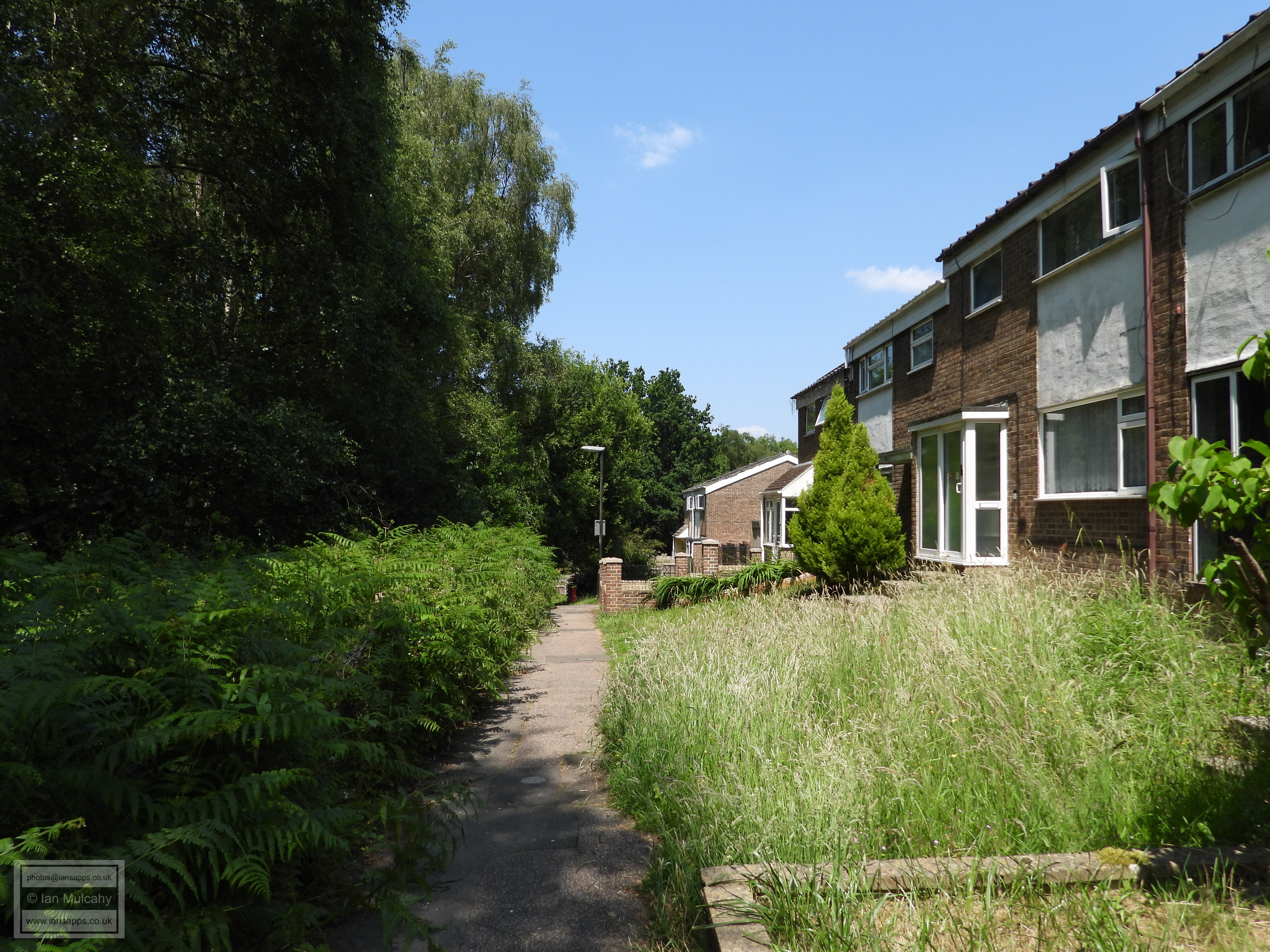
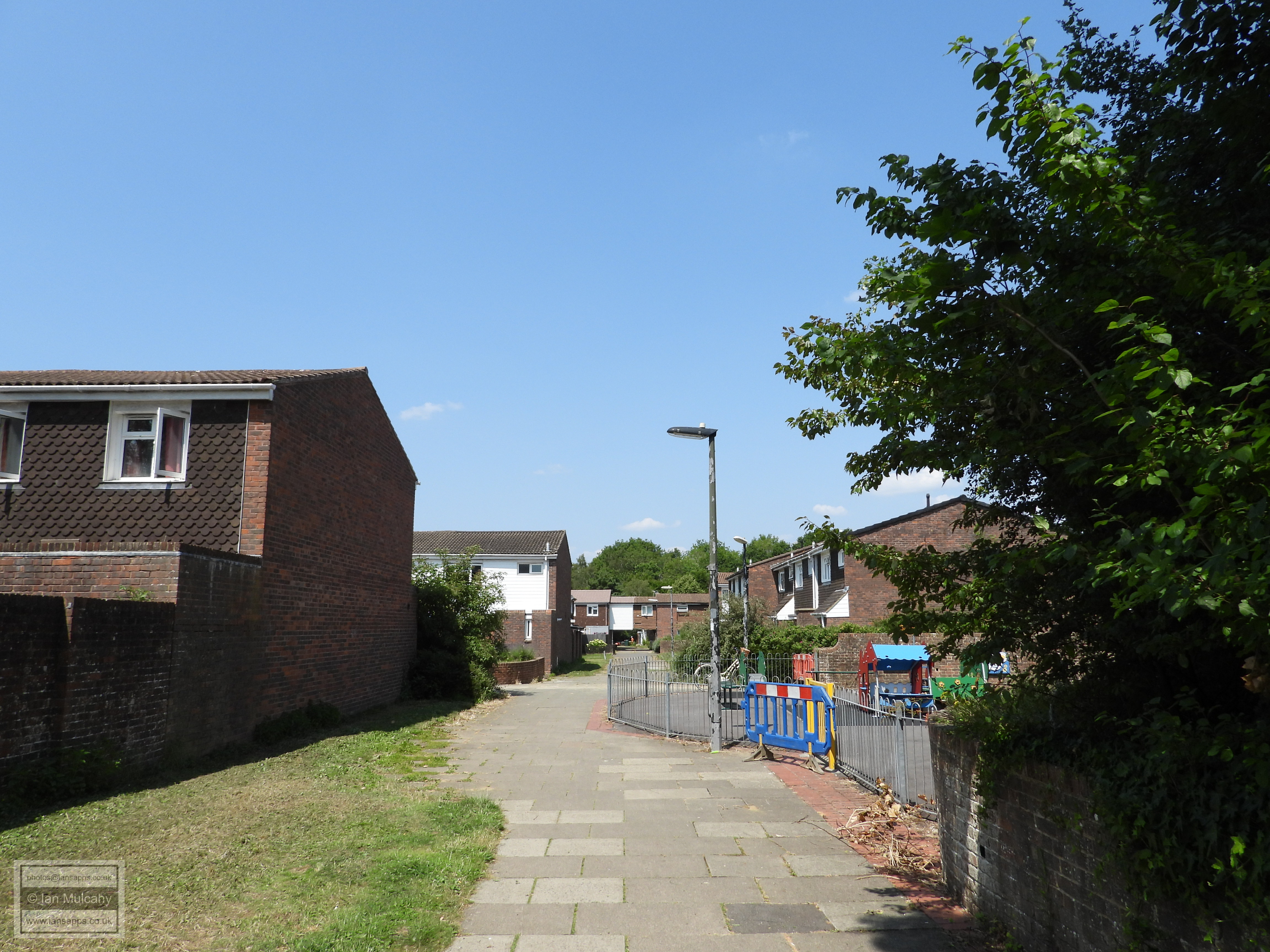
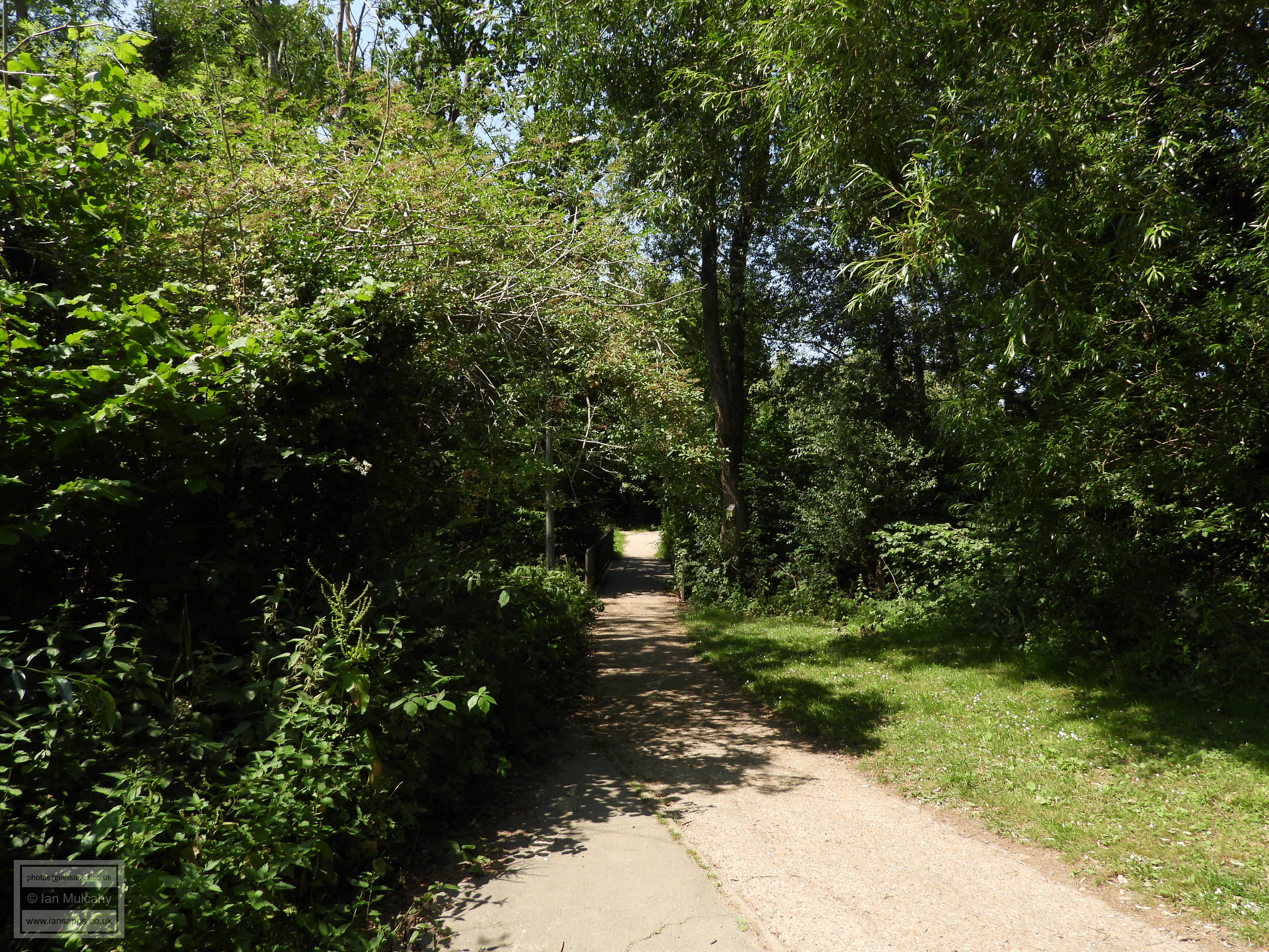
This path from Andromeda Close to the water gardens runs besides the boundary, little more than 2 metres to it's left
Then we're back to our starting point once we've crossed the bridge.
Text & photographs © Ian Mulcahy. Contact photos@iansapps.co.uk or visit my 'Use of my photographs' page for licensing queries (ground level photographs only). |