The Crawley Millennium Greenway
7 April 2026
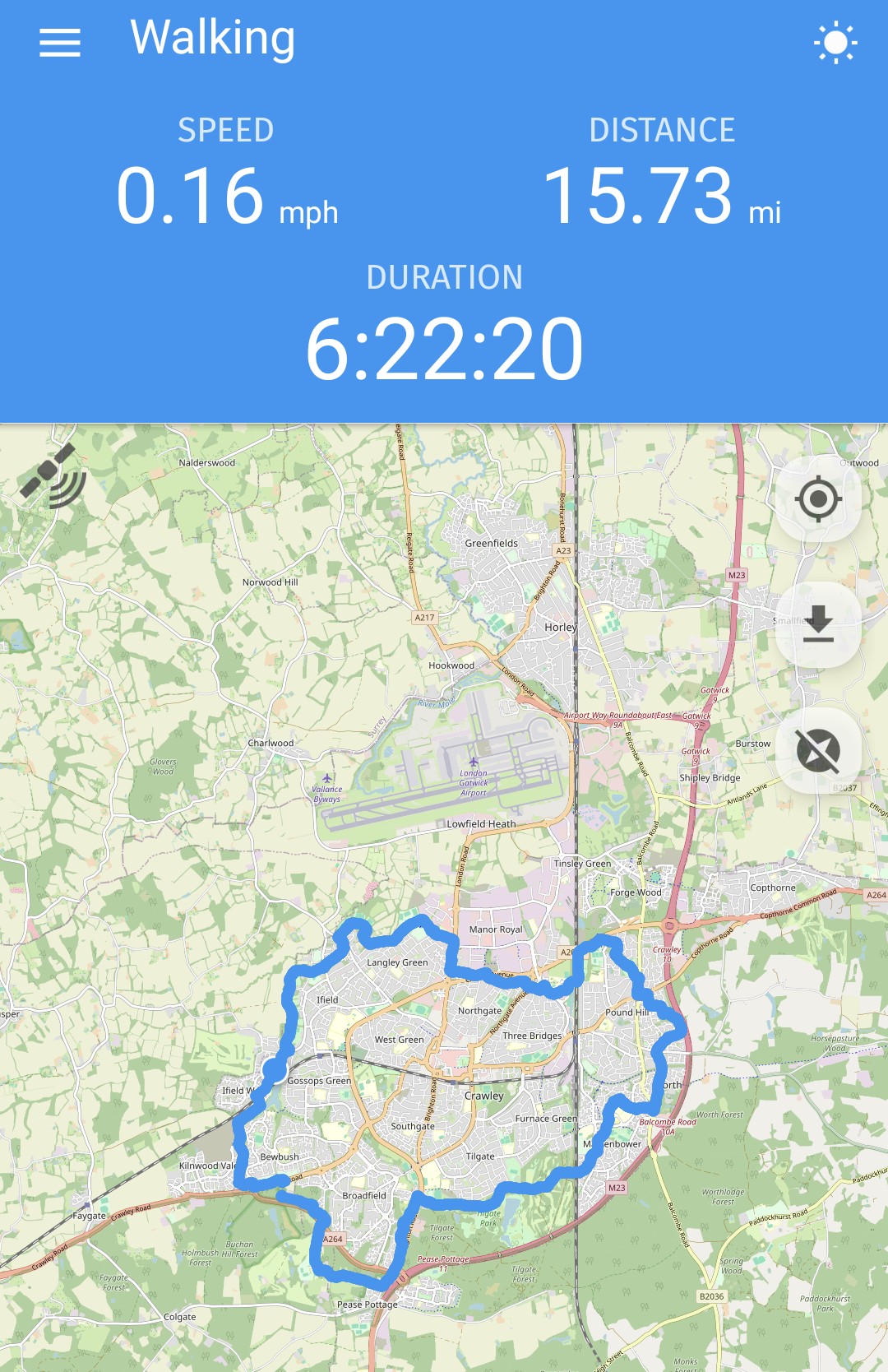
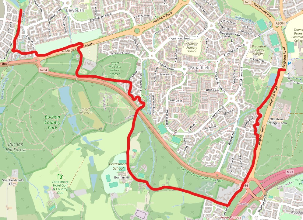
264 photos plus maps from a 16 mile walk
|
On 7 April 2026 I walked the entire length of the Crawley Millennium Greenway - a route around the edge of the town that was put together by Crawley Borough Council at the turn of the millennium.
Unfortunately, the council have never really done much with it. Most local people seem unaware of its existence, and the information produced is limited to hard copies of a, frankly patronising, cartoon map that doesn't actually detail the specific route meaning that for some of the walk I have had to make a 'best guess'. In a couple of places, I have purposefully taken a different route; at Tushmore I walked along Tushmore Lane and used the subway under Crawley Avenue into Green Lane rather than crossing at the gyratory and walking along Five Acres, Bramber Close & Steyning Close to access Green Lane. Also, as the route from Broadfield Park to Target Hill was unintelligible, I elected to cross the South Western Bypass by the motorway junction and pass Stanford Scout Camp and Cottesmore school to get to Target Hill via the subway at the end of Broadwood Rise.
Otherwise, I believe I have pretty much taken the route intended, but I would urge the local council to make this walk more accessible by providing PROPER maps and making them available for download.
Below are my maps, along with 264 photos (this may seem a lot, but this is the cut from almost 1,600 taken during the walk) and a description of the route taken. Many of the photos are annotated.
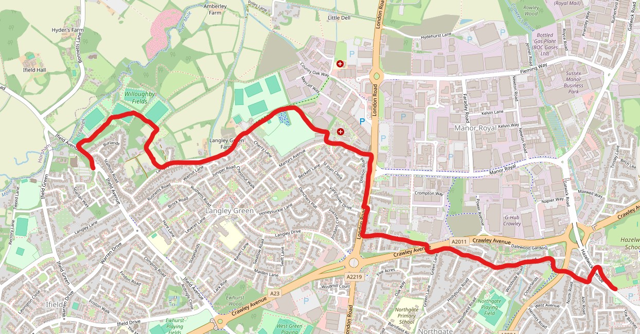
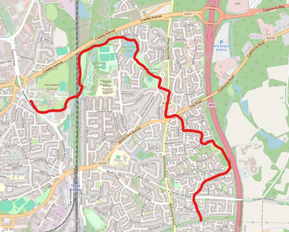
I have broken my review of the walk up into six sections and provided (clickable) maps of my route for each:
Full map. Approximately 0.3 miles were lost between Buchan car Park and the bridge into Bewbush when my GPS stopped working and I had to reboot my phone, taking the total distance to 16 miles.
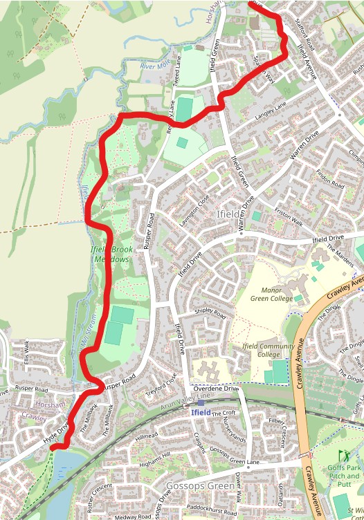
PART ONE - IFIELD MILL TO CRAWLEY RUGBY CLUB
Start at the weir next to Ifield Mill and use the bridleway to walk to Hyde Drive. Turn right and, at the mini roundabout at the Rusper Road junction, cross the road. Immediately after Brook Cottage turn left down a narrow footpath which opens out into Ifield Brook Meadows.
Walk through the meadows (it doesn't really matter which path you take, as long as head north towards the church and use the bridge to cross the drainage ditch to the south-west of the church at it's confluence with Ifield Brook. Walk through the more open northern part of Ifield Brook Meadows until you get to the public footpath which crosses Ifield Brook. Do not cross the Brook, but turn right past Newstead Lodge towards Ifield Green.
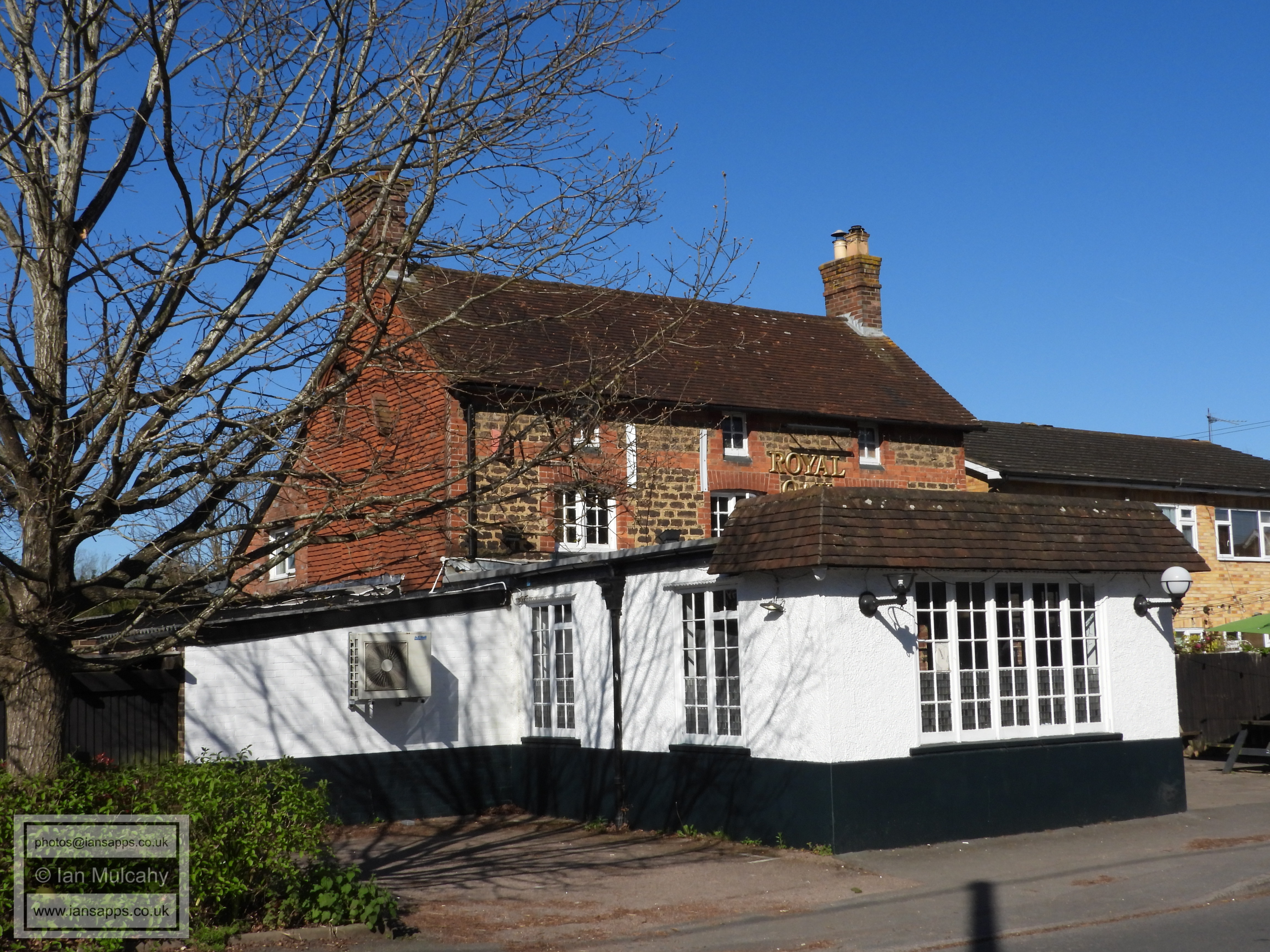
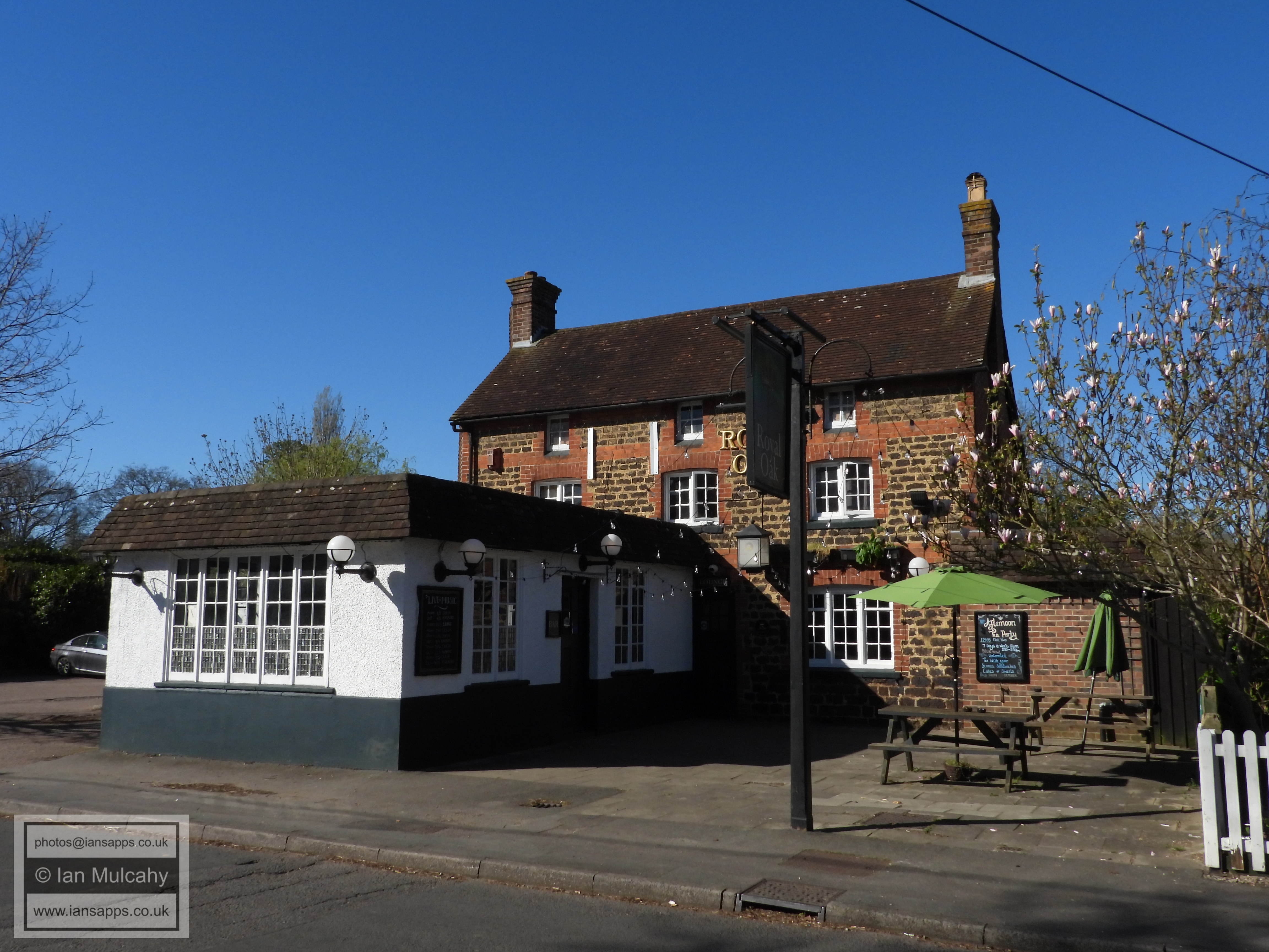
Cross Ifield Green to the north of the Steam Mill using the public footpath which joins Ifield Green (the road) via the car park of The Royal Oak. Cross the road and turn left before taking the public footpath between the allotments and Michaelmas Cottage.
When this enters the Apple Tree Farm estate keep going straight ahead and then veer to the left, following Rokewood Drive all the way to the roundabout on Ifield Avenue. Cross Ifield Avenue and walk to the entrance to the Rugby Club.
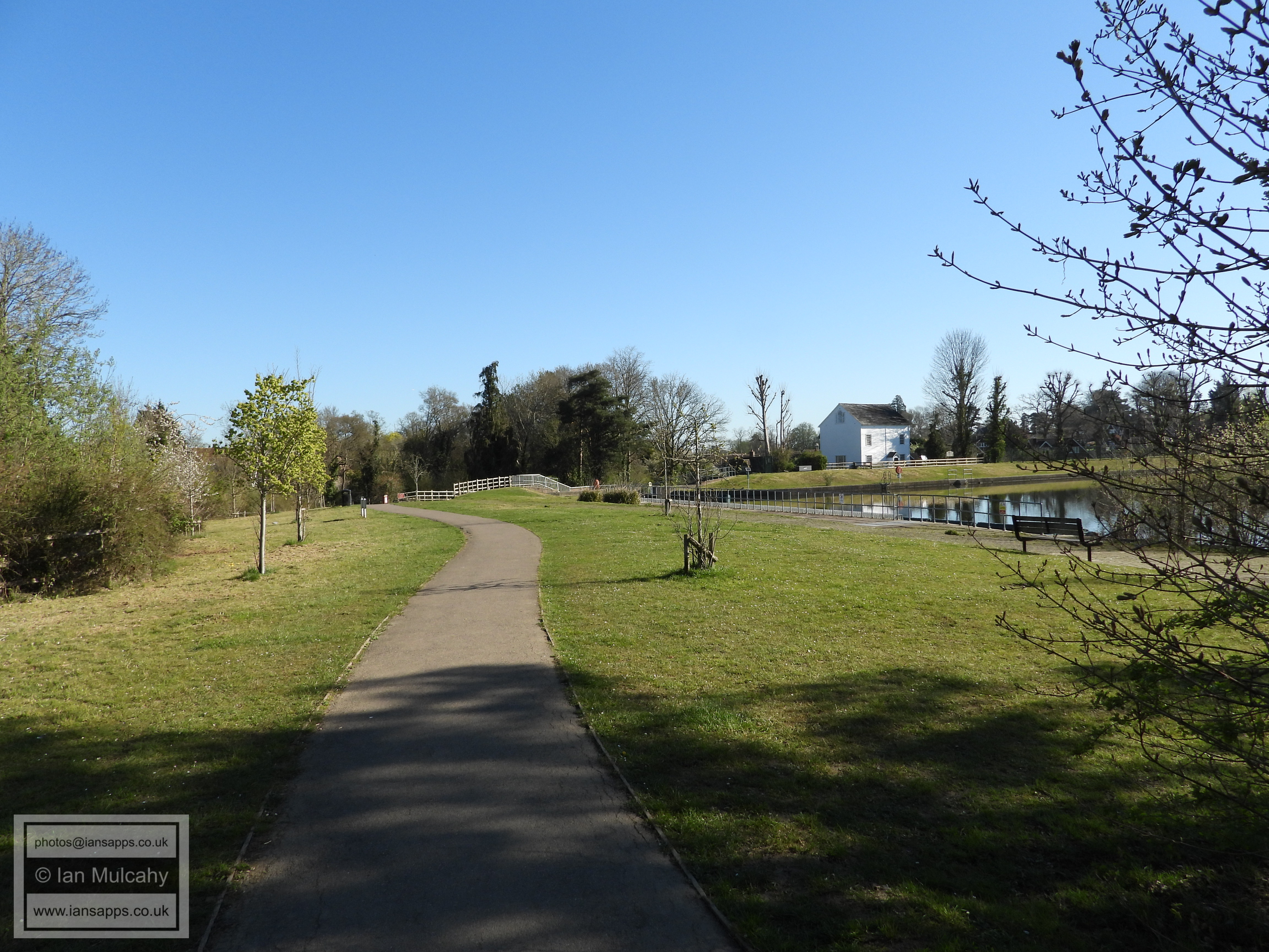
Green space at Ifield Mill
Green space at Ifield Mill
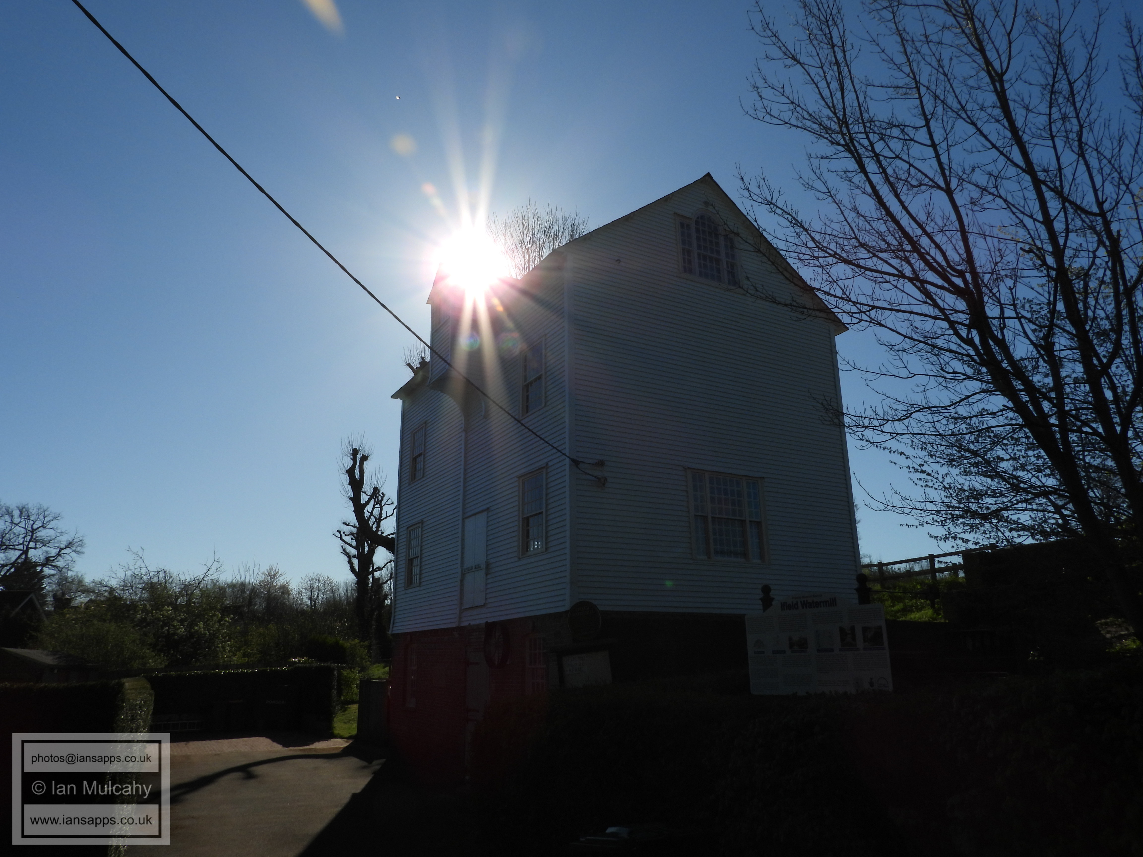
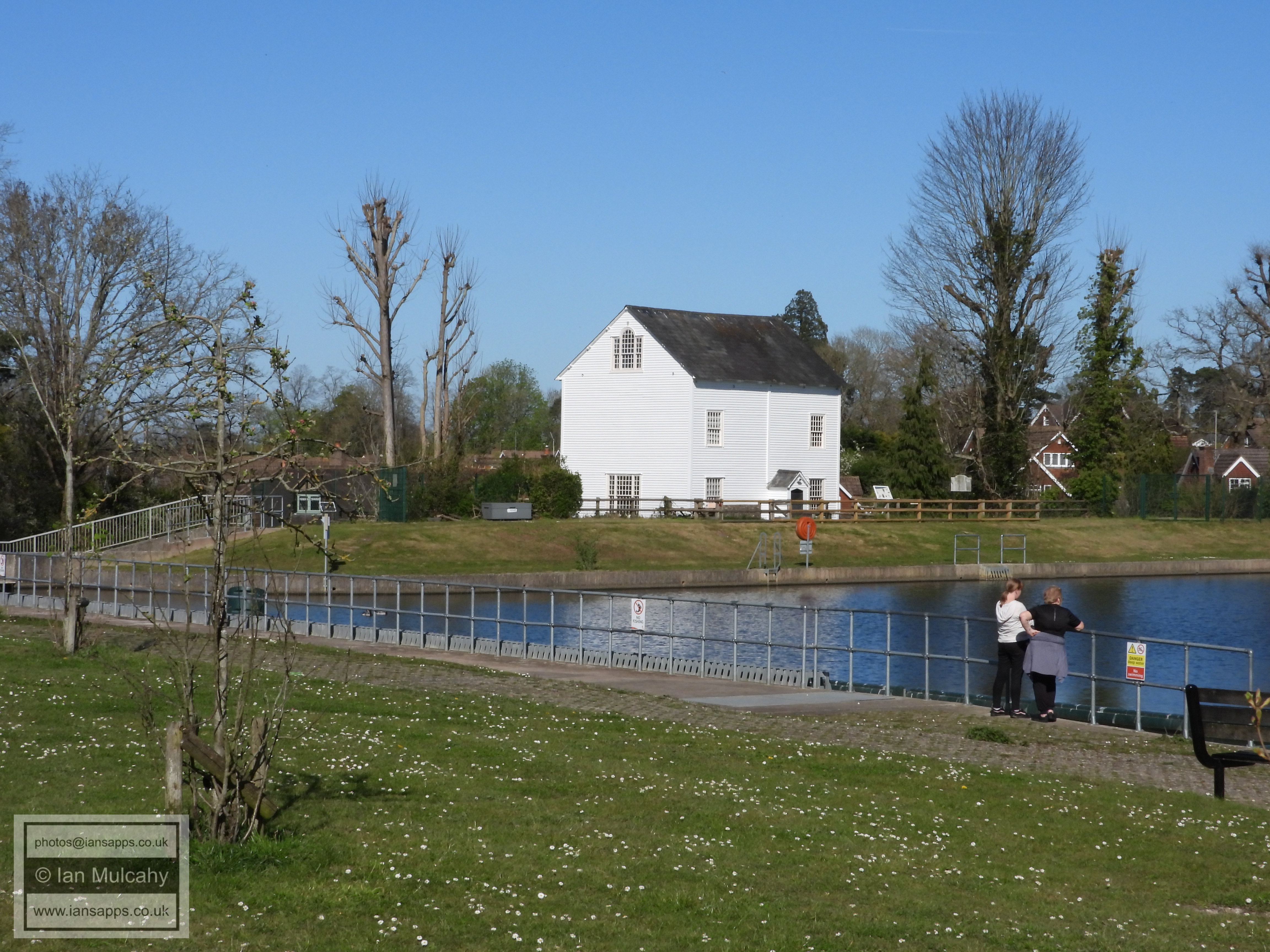
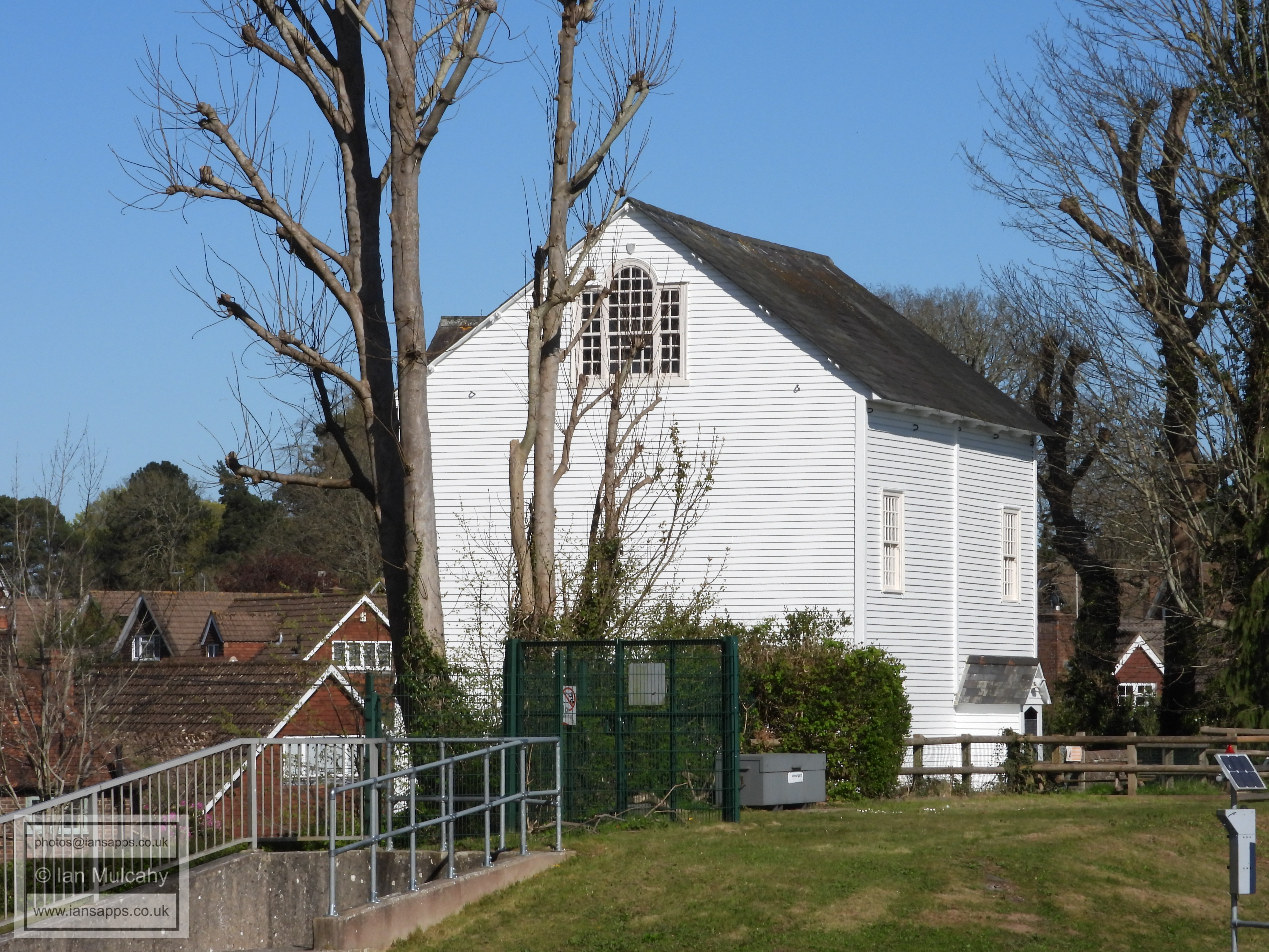
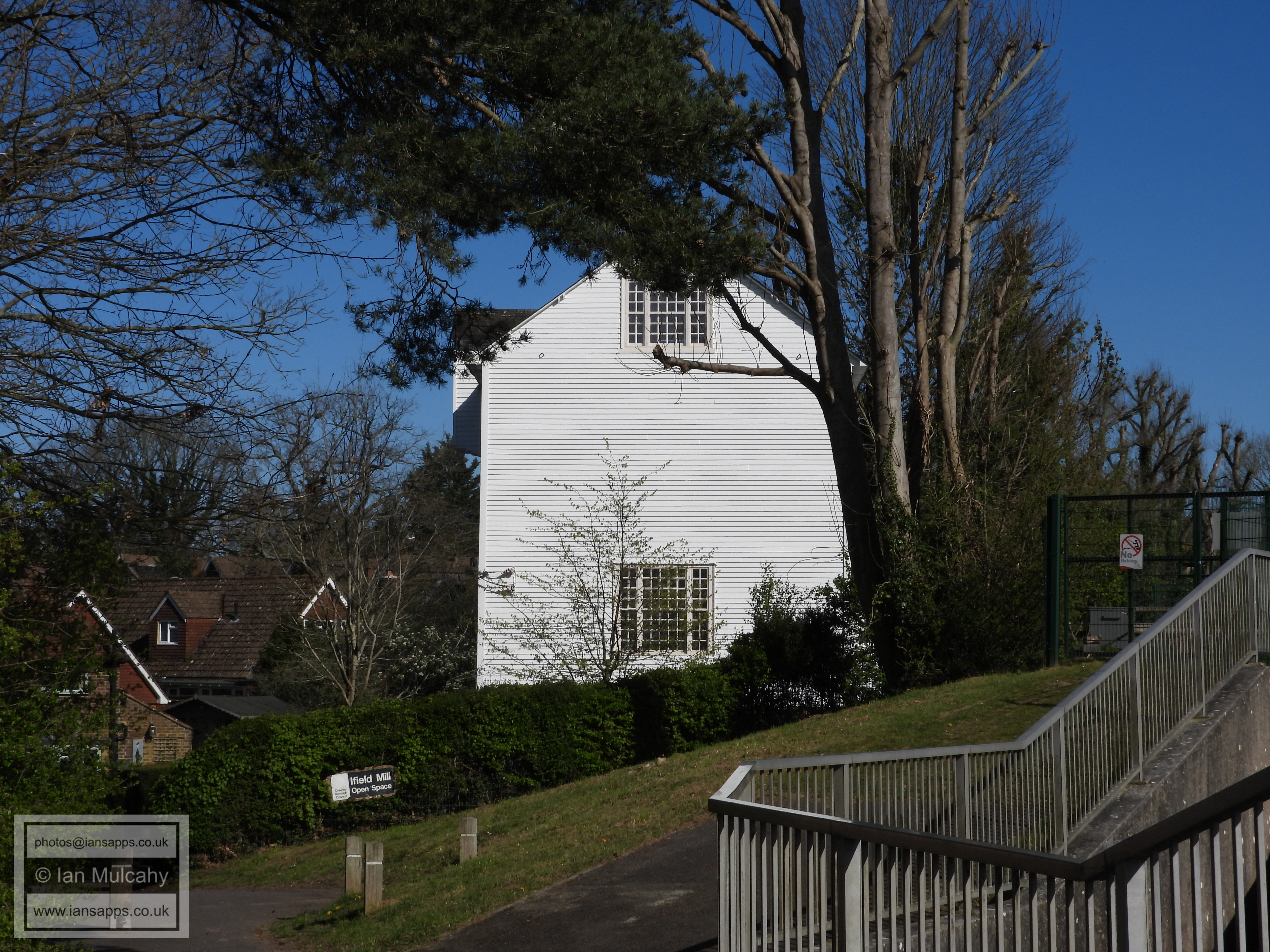
Ifield Mill
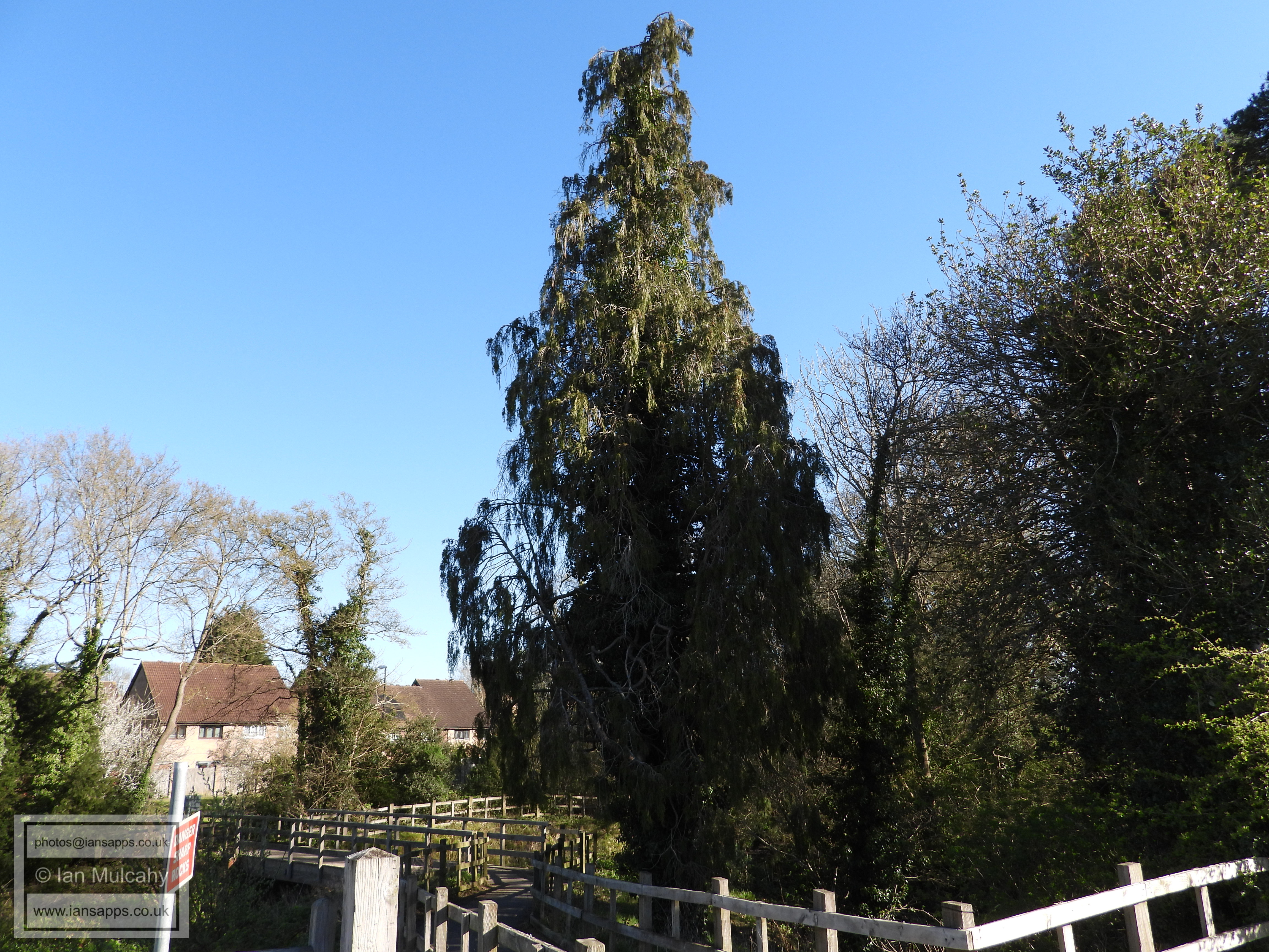
The site of Ifield Forge and now the secondary spillway
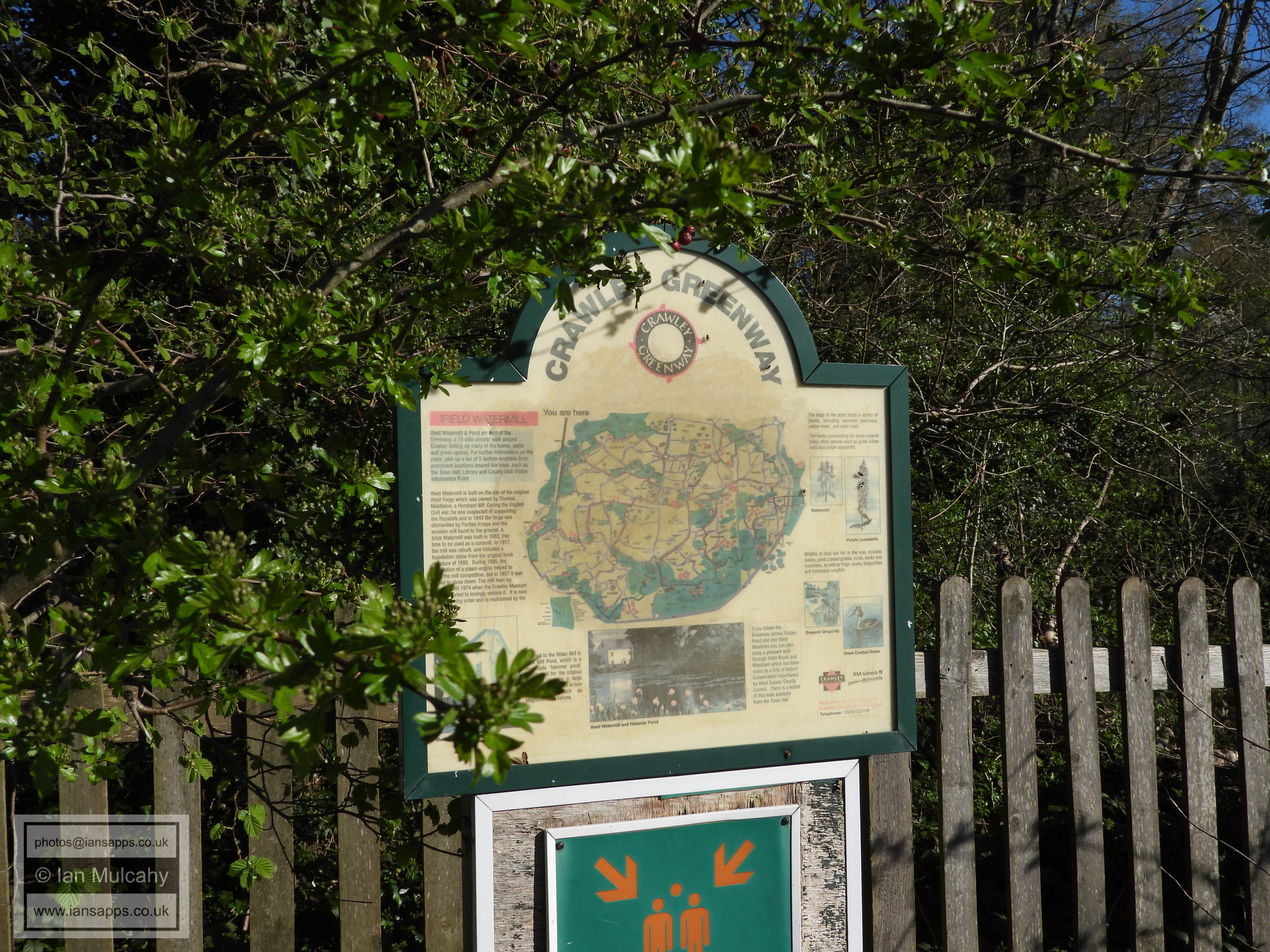
Not a very useful map!
Ifield Mill
Hyde Drive/Rusper Road
Rusper Road
Brook Cottage, built c.1600
I would usually disapprove, but this feels like an appropriate place to hang a bag of sh*t! https://www.savewestofifield.co.uk/
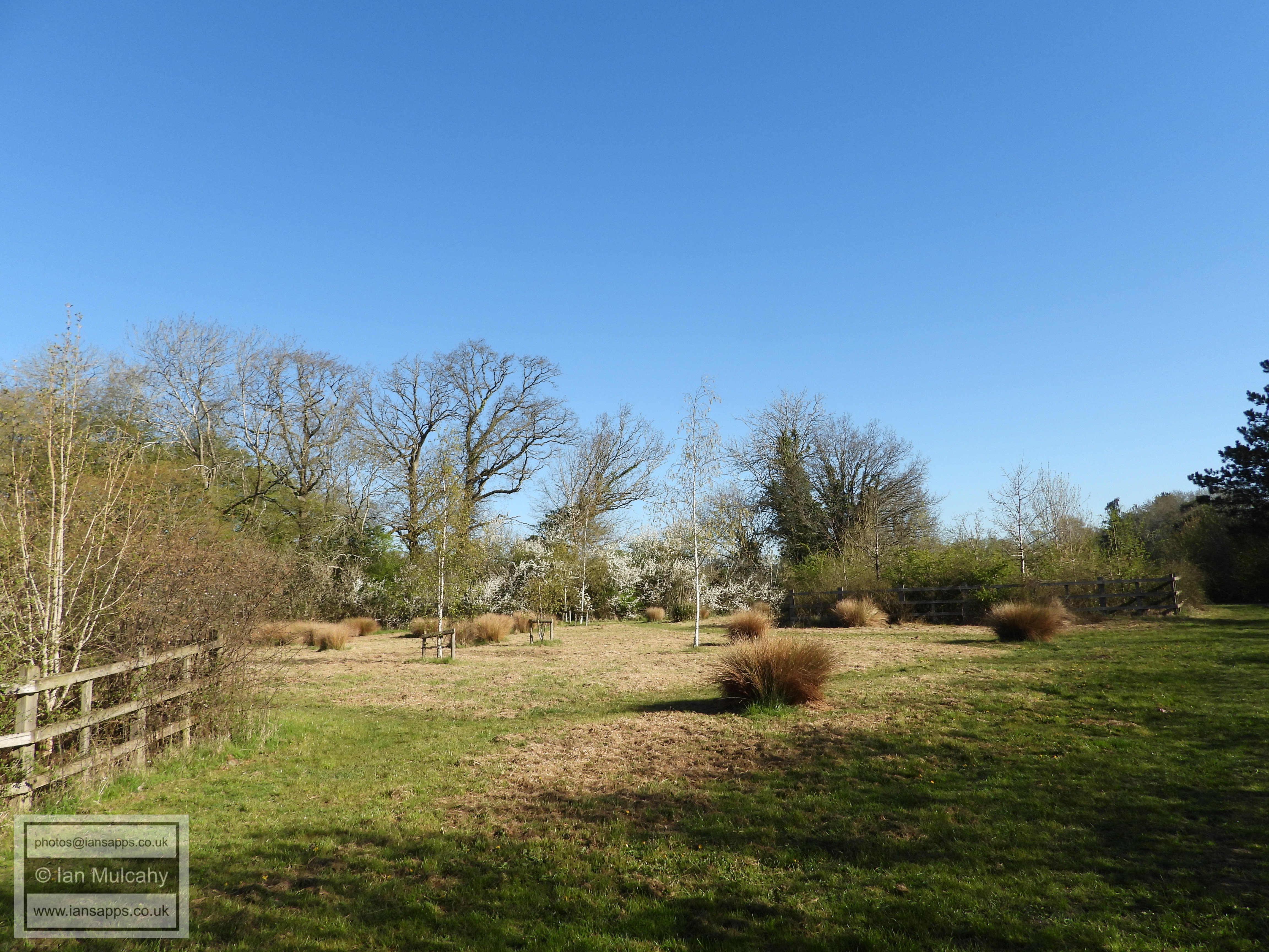
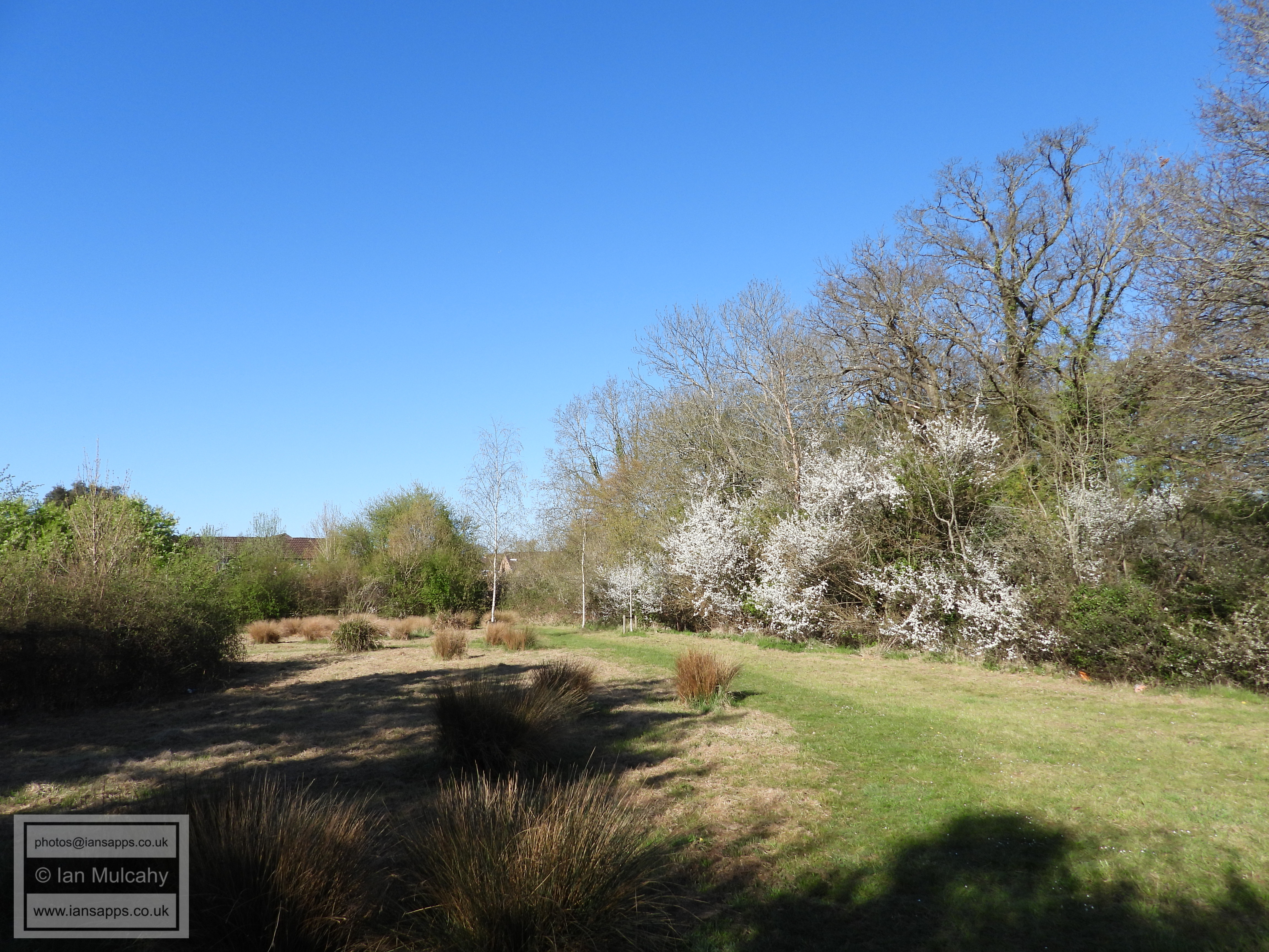
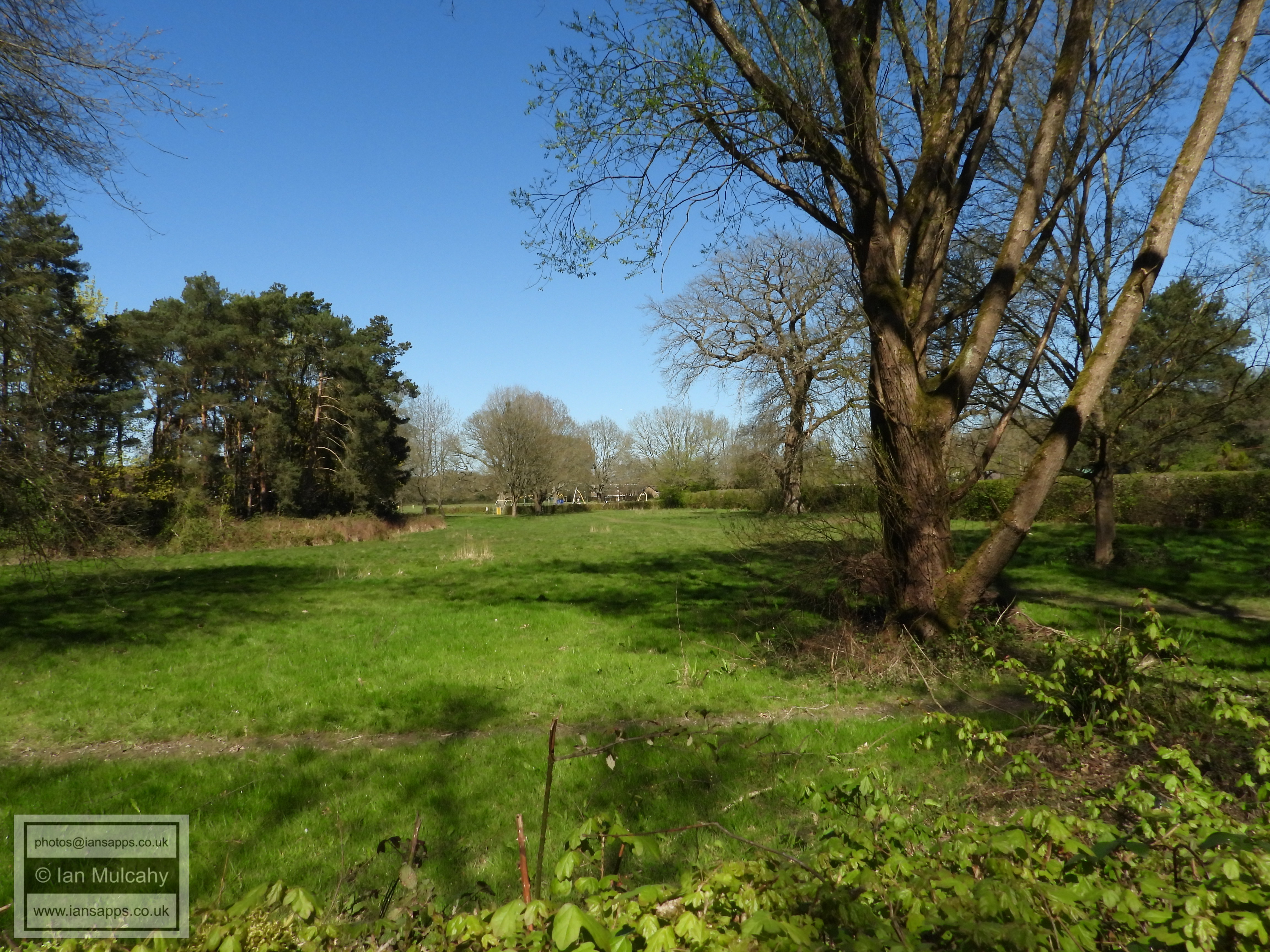
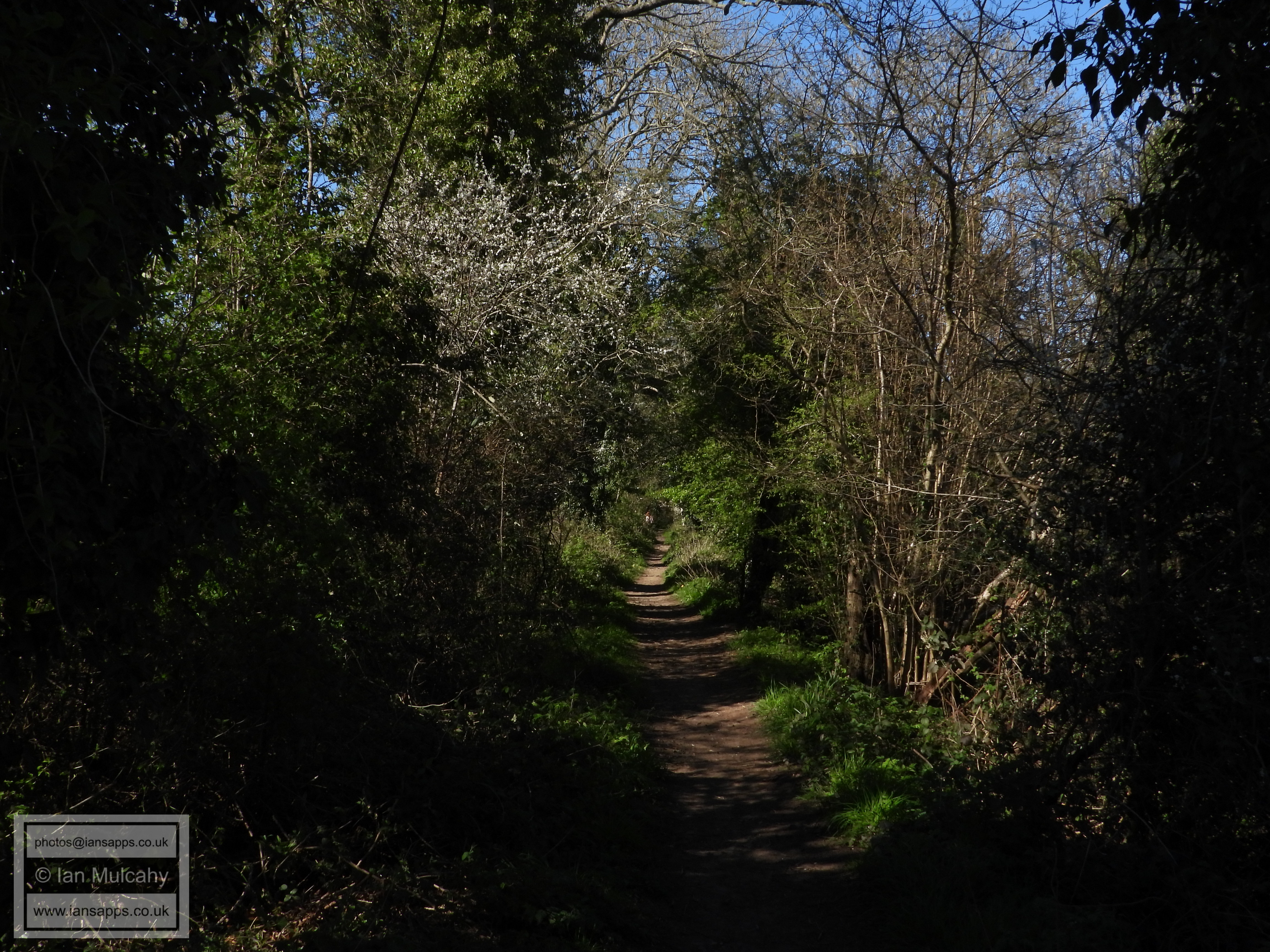
Ifield Brook Meadows (south)
Ifield Brook Meadows (south)
Ifield Brook Meadows (south)
Ifield Brook Meadows (south)
Ifield Brook Meadows (south)
Ifield Brook Meadows (central)
Ifield Brook Meadows (North)
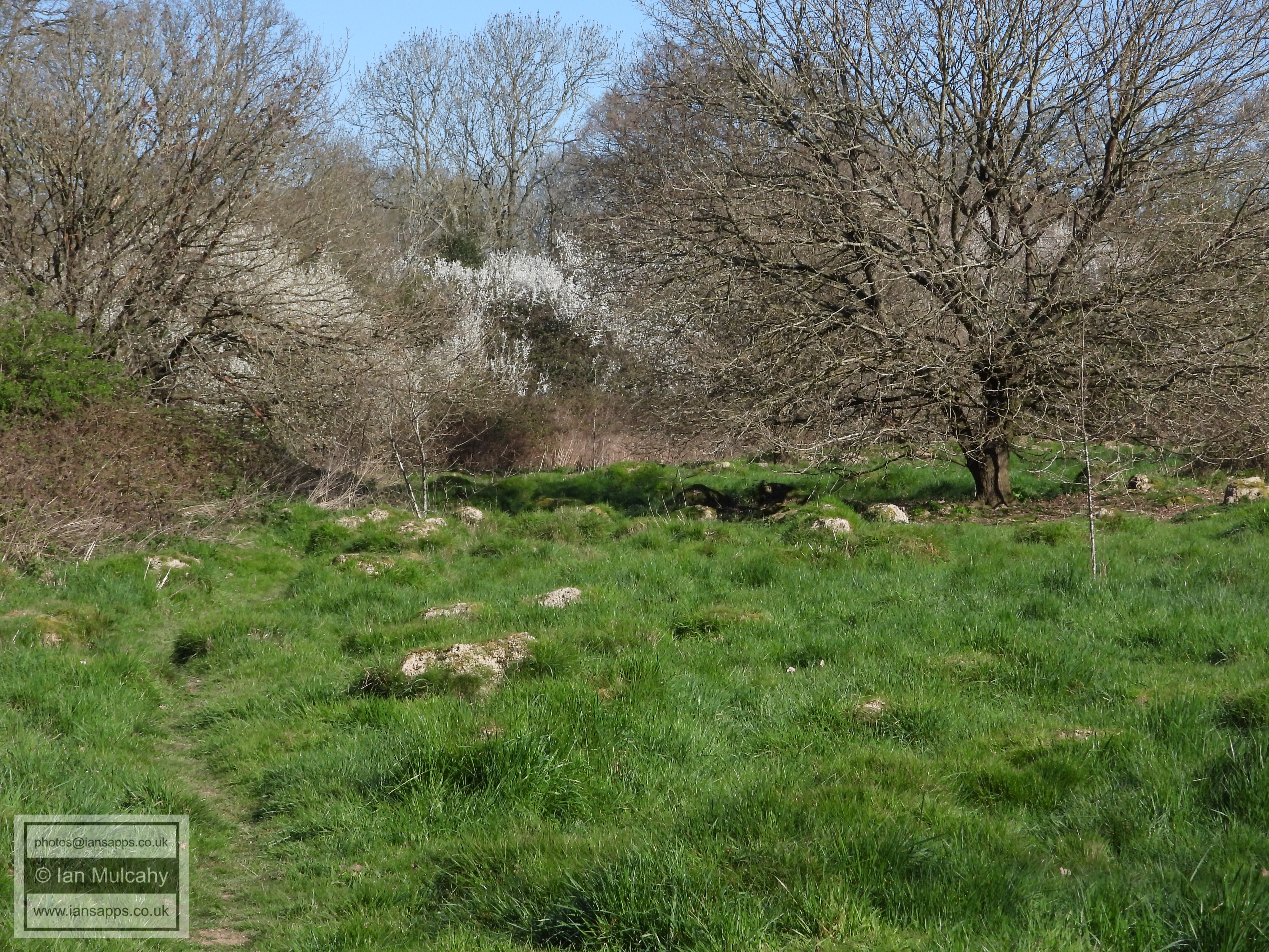
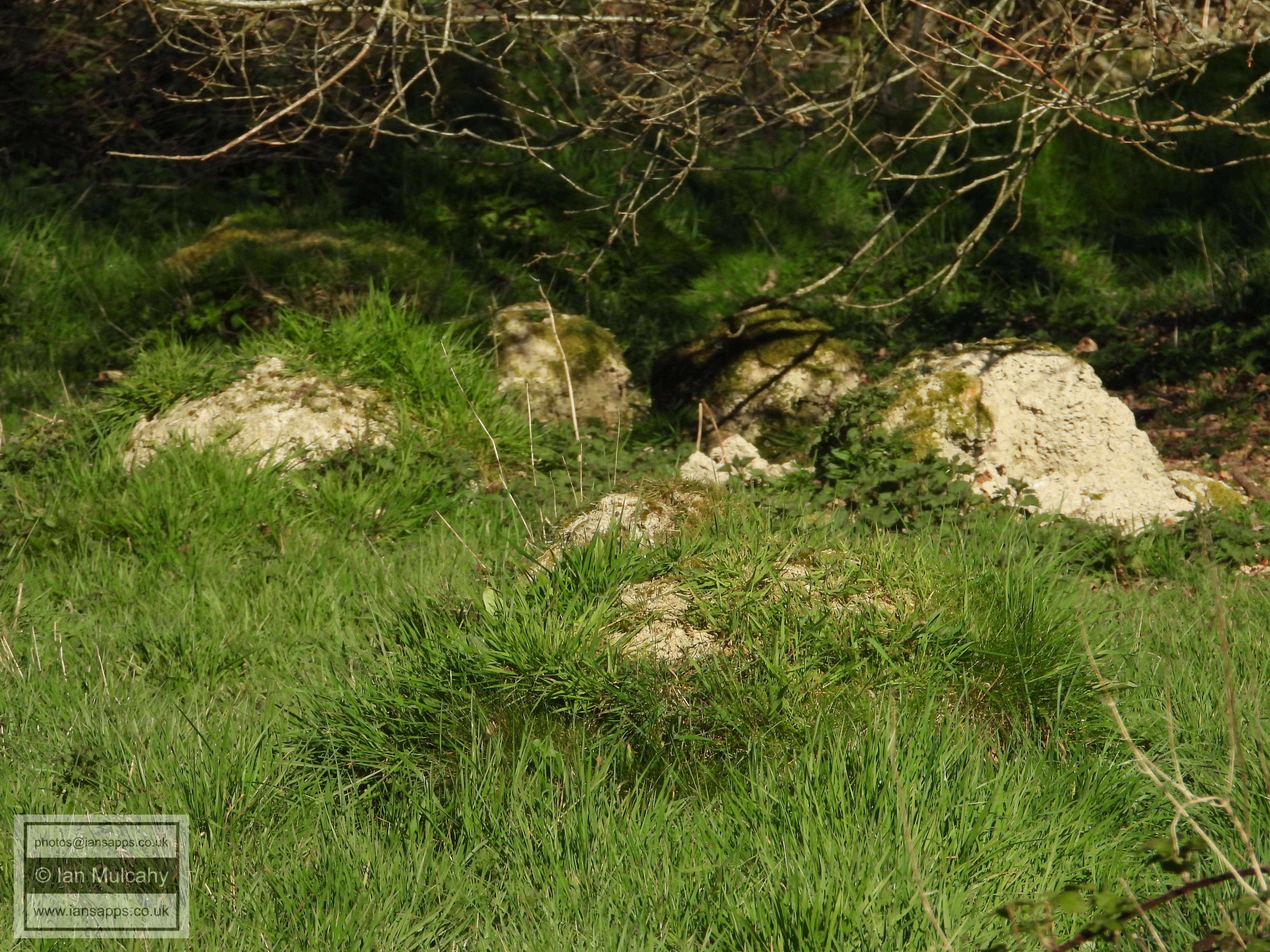
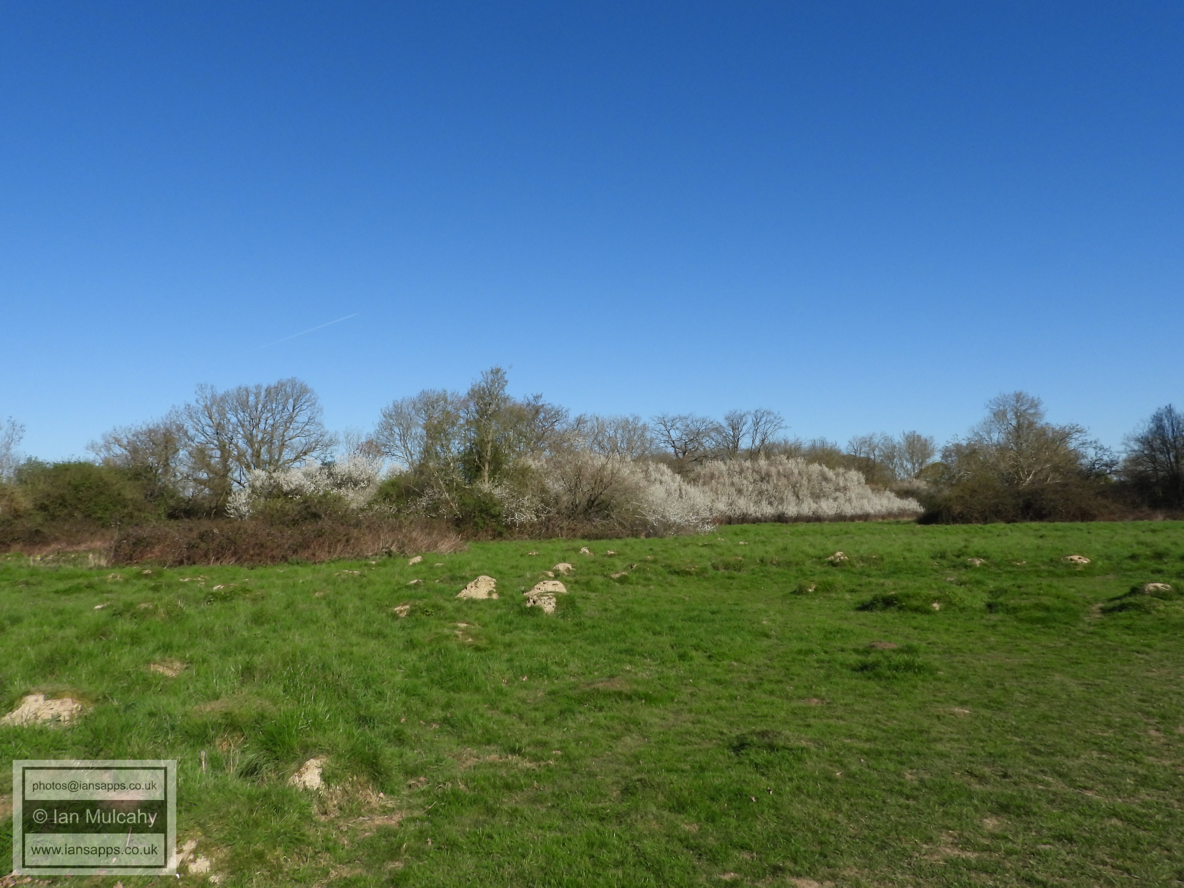
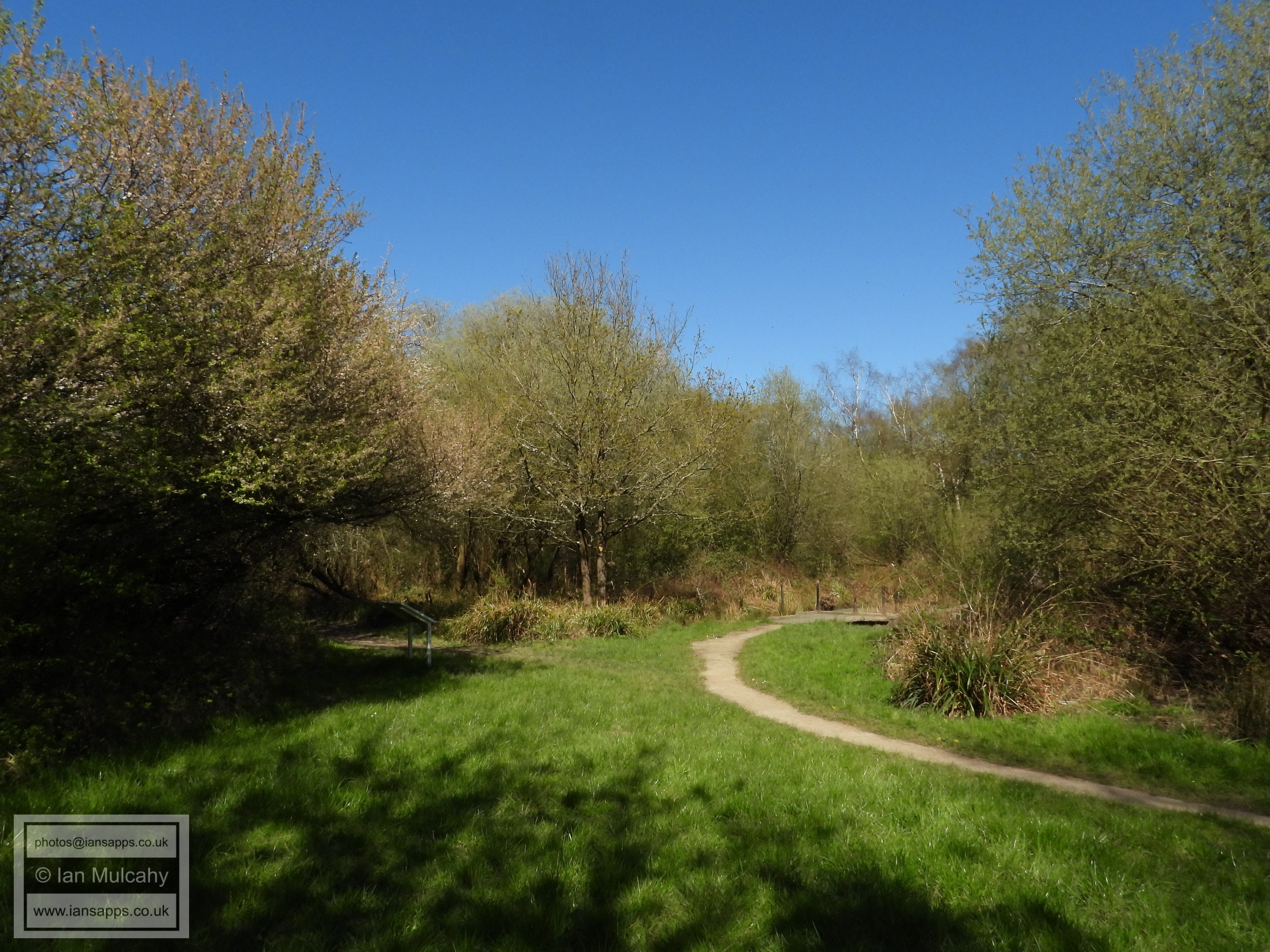
The nesting mounds of the increasingly rare Yellow Ant. The mounds, of which the are many in the meadows to the west of St Margaret's Church, are not just standalone visible surface features; they merely highlight the presence of a significant underground network of tunnels and chambers that can extend up to a metre below the surface. The ants actually live below the surface and the mounds help to regulate the temperature of the nest, as well as acting as a 'door'. The existence of these mounds indicates that the meadow has lain undisturbed for many years, possibly centuries. The tithe map of 1840 records the area hosting the mounds as being meadow which shows that some of our mounds could be up to 200 years, or more, old.
Yellow Ant mounds
Yellow Ant mounds
Yellow Ant mounds and Ifield Brook Meadows (North)
Ifield Brook Meadows (North)
Ifield Brook Meadows (North)
Ifield Brook Meadows (North) and St Margaret's Church
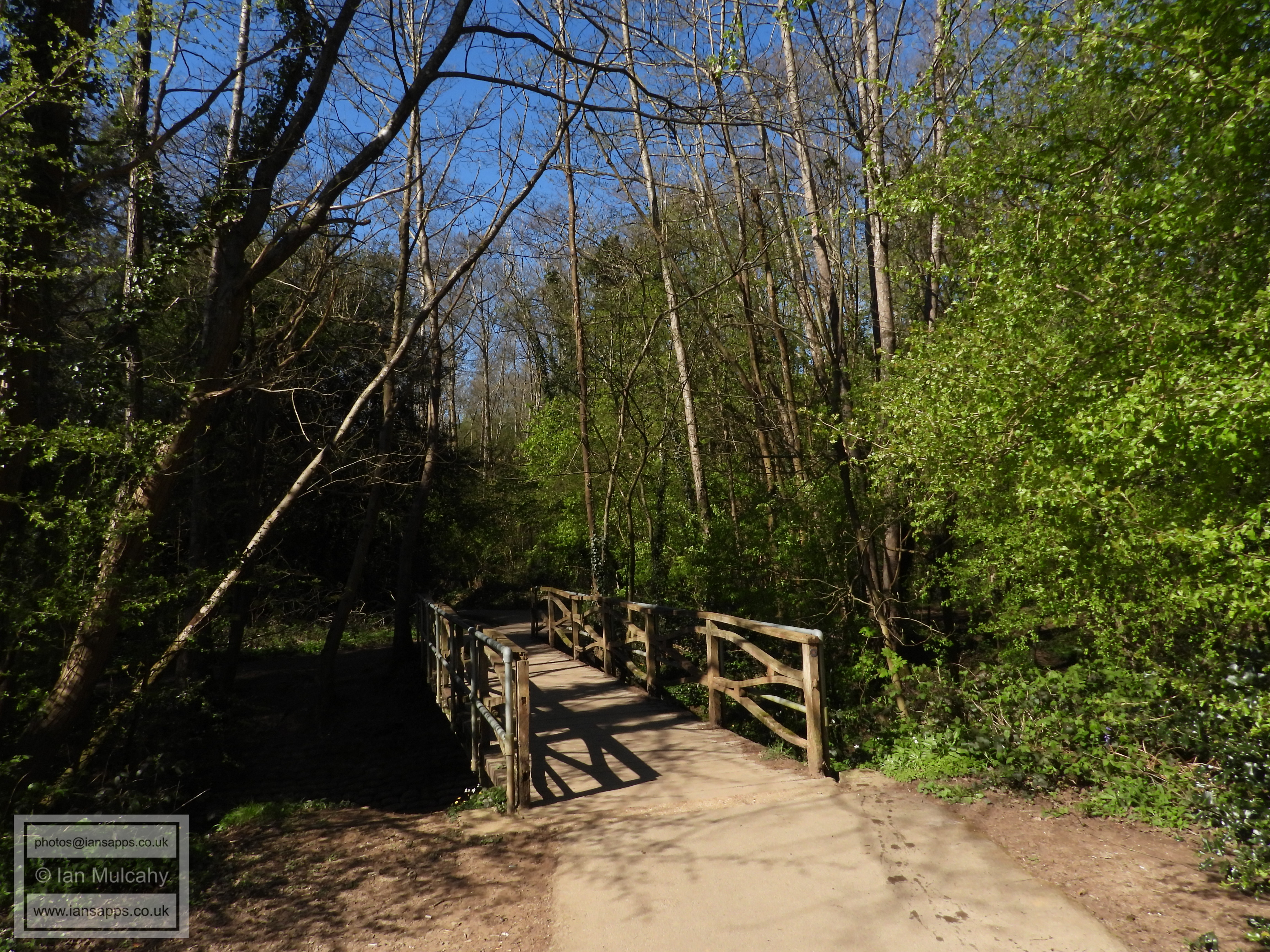
The bridge over Ifield Brook on the path from Ifield Green to Ifield Court.
The path from Ifield Green to Ifield Court.
The path from Ifield Green to Ifield Court.
Ifield Green
Ifield Green
Ifield Green
Ifield Green from the Royal Oak car park
The Royal Oak
The Royal Oak
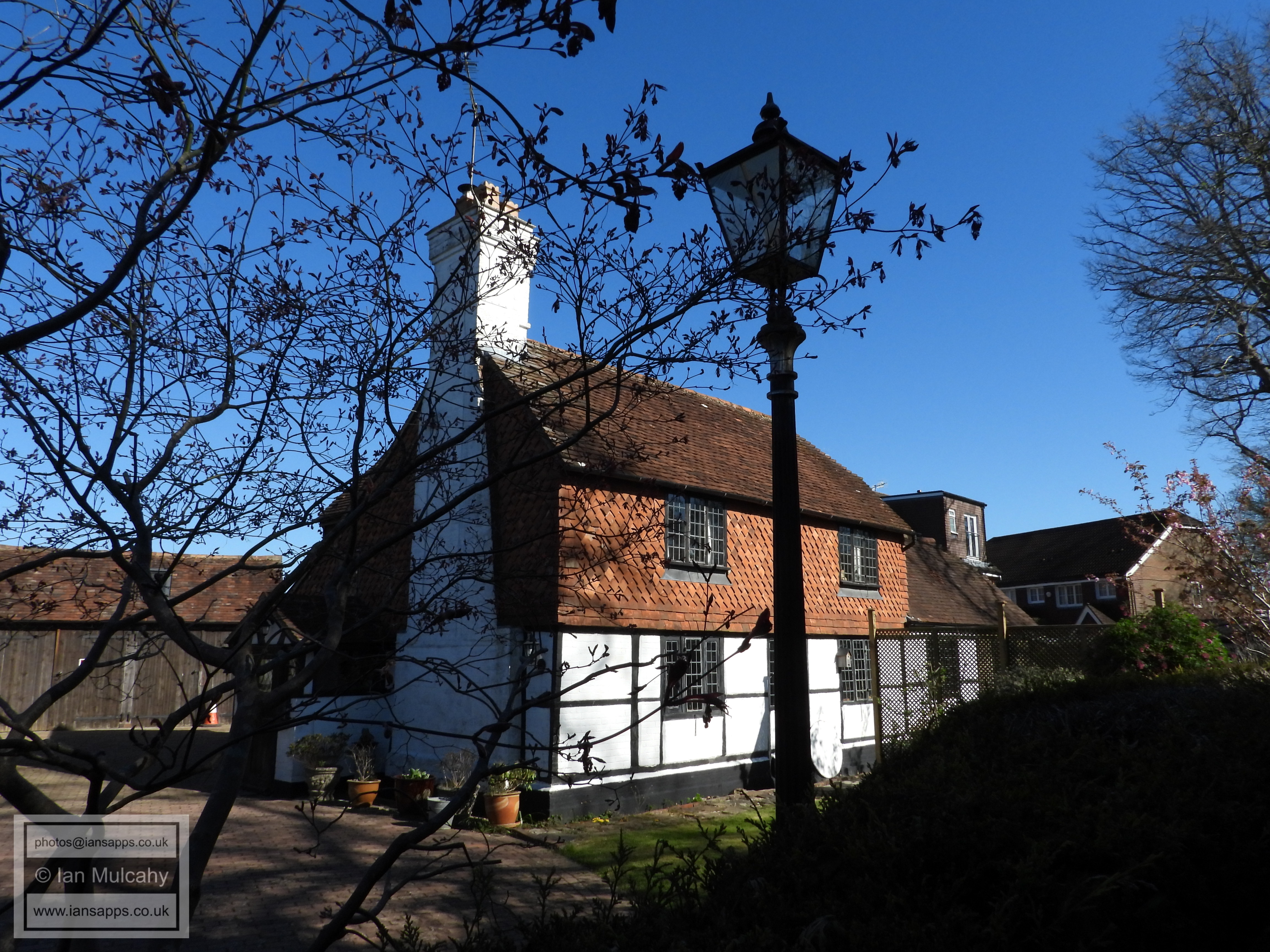
Michaelmas Cottage, a 17th century building on the edge of Ifield Green
From Amorosa Close looking towards Rokewood Drive
Rokewood Drive
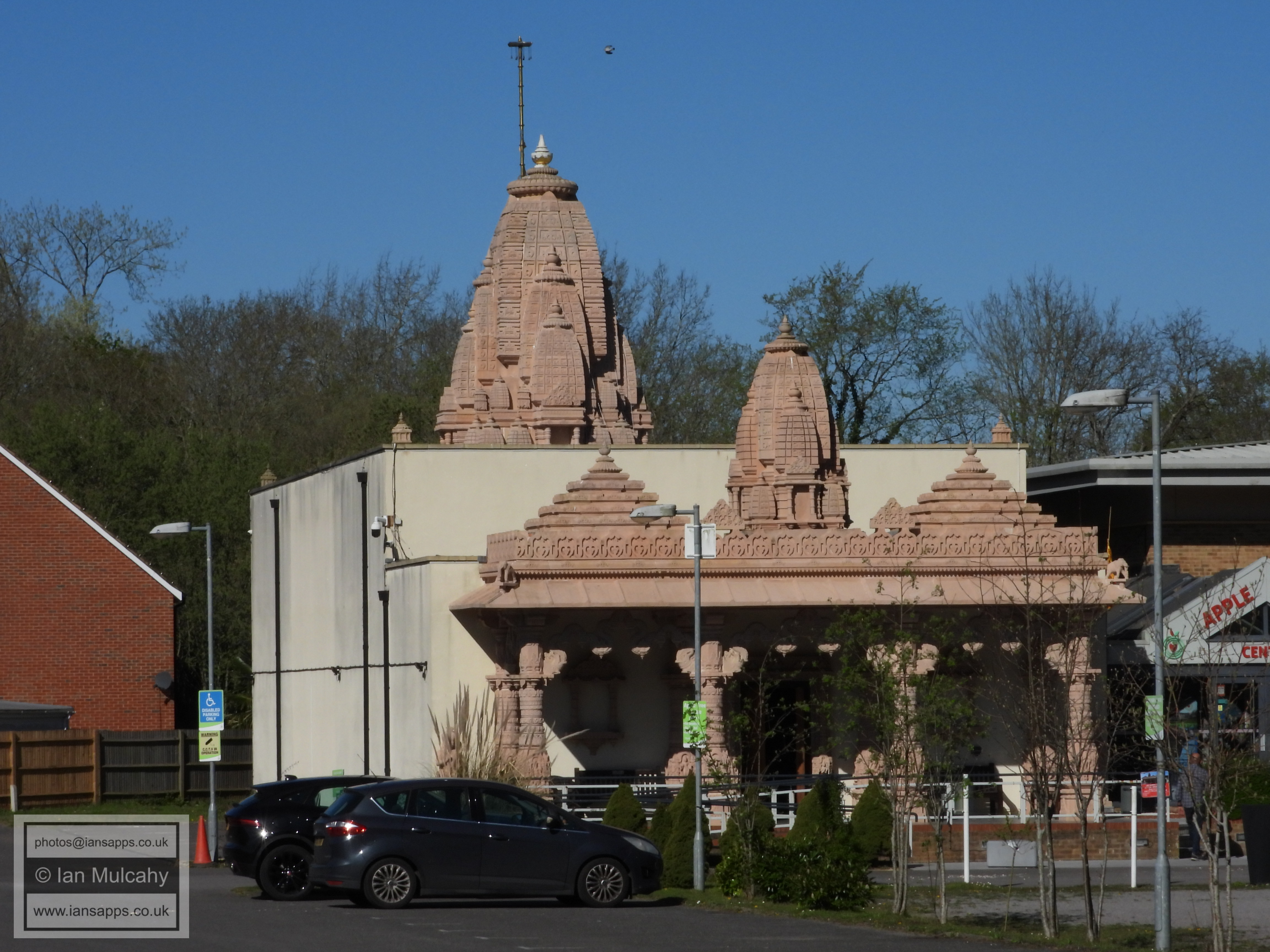
Sanatan Mandir Temple
Ifield Avenue/Stafford Road junction
PART TWO - CRAWLEY RUGBY CLUB TO HAZELWICK
Turn into Crawley Rugby Club from Ifield Avenue and walk past the club house with it to your left. Cross the first rugby pitch you come across diagonally and pass through the gap in the hedgerow to the easternmost pitch. Stay to the south of this pitch and in the corner is a footpath that leads through to Langley Walk via Glyn House.
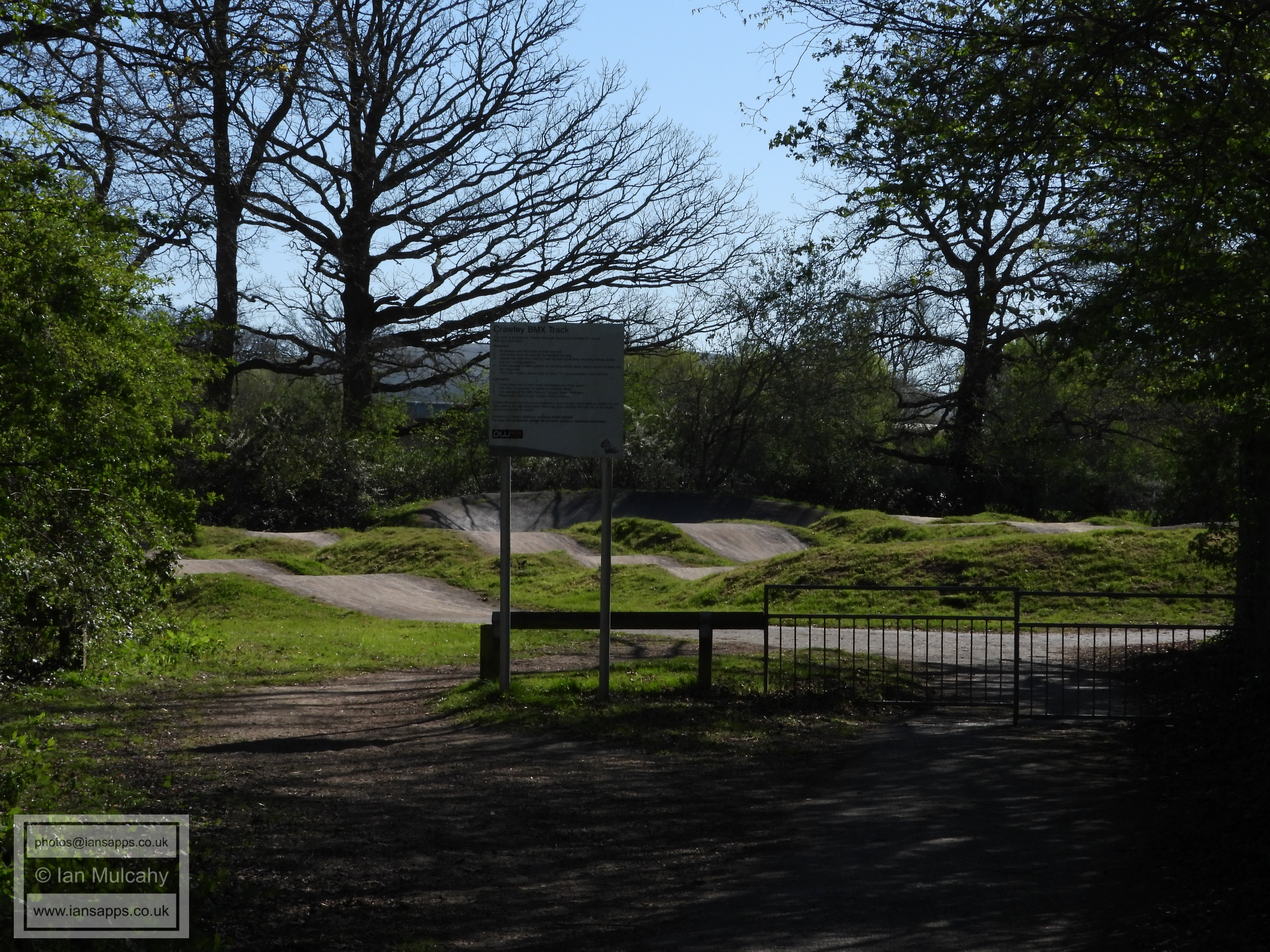
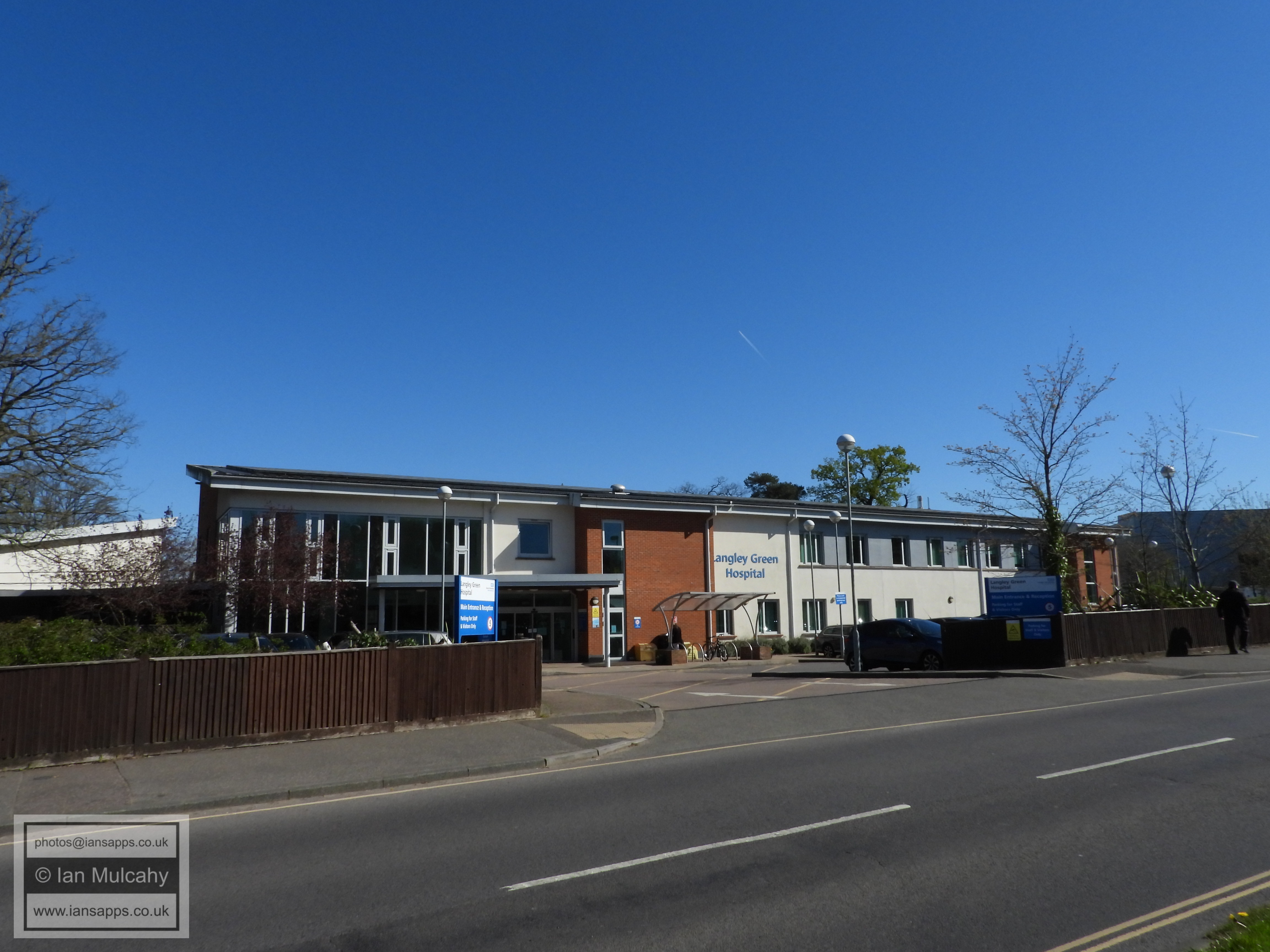
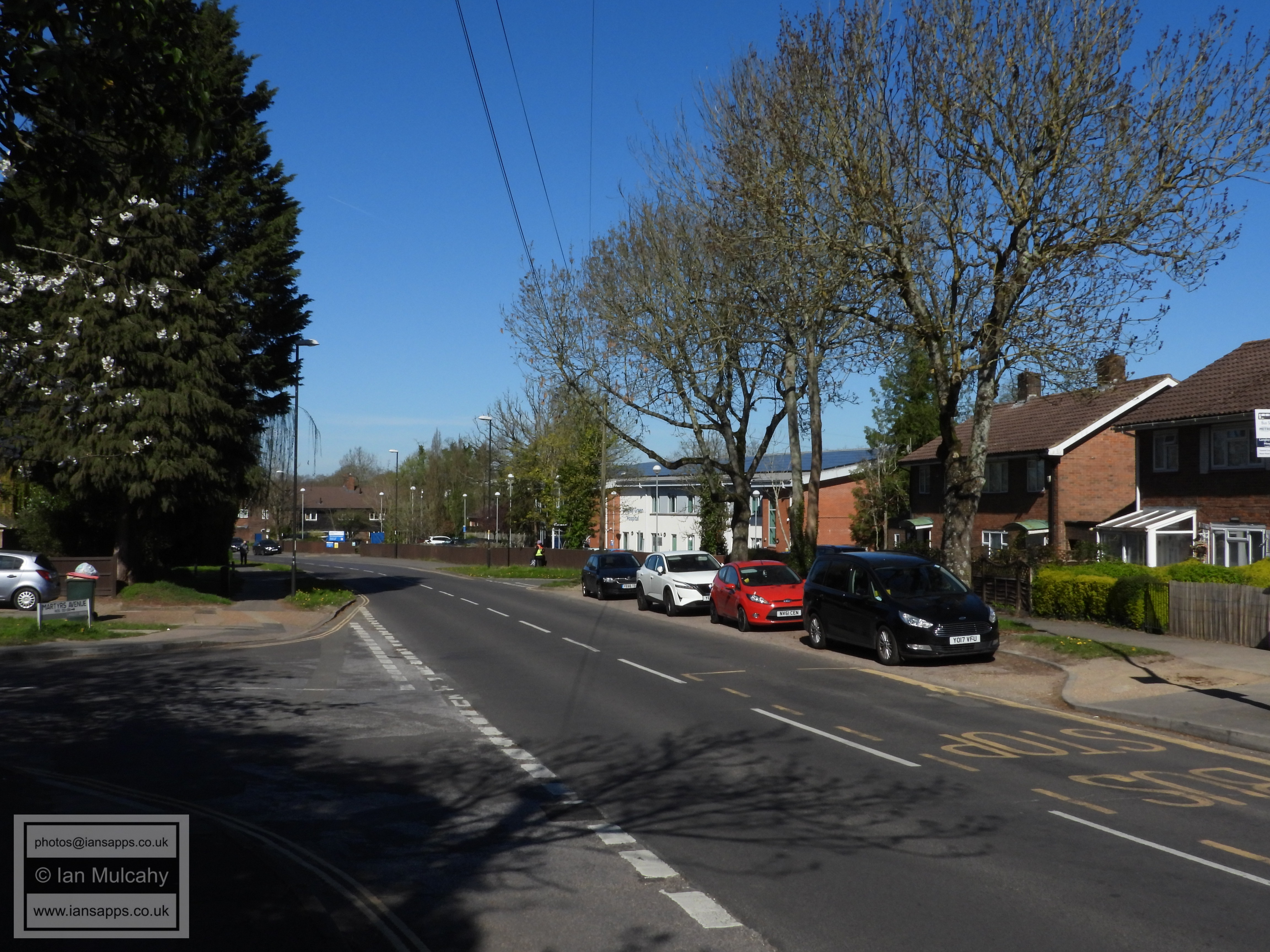
On reaching Langley Walk, turn left and keep walking towards County Oak passing Langley Green Farm, Cherry Lane Playing fields, the adventure playground and the BMX track. A little way after the BMX track is a bridge that leads round to (what used to be known as football) pitch 6. Cross this bridge and head towards the now fenced off garage block on the far left of the field as you look. This will take you into Martyrs Avenue where you should turn left and walk past the hospital towards the London Road.
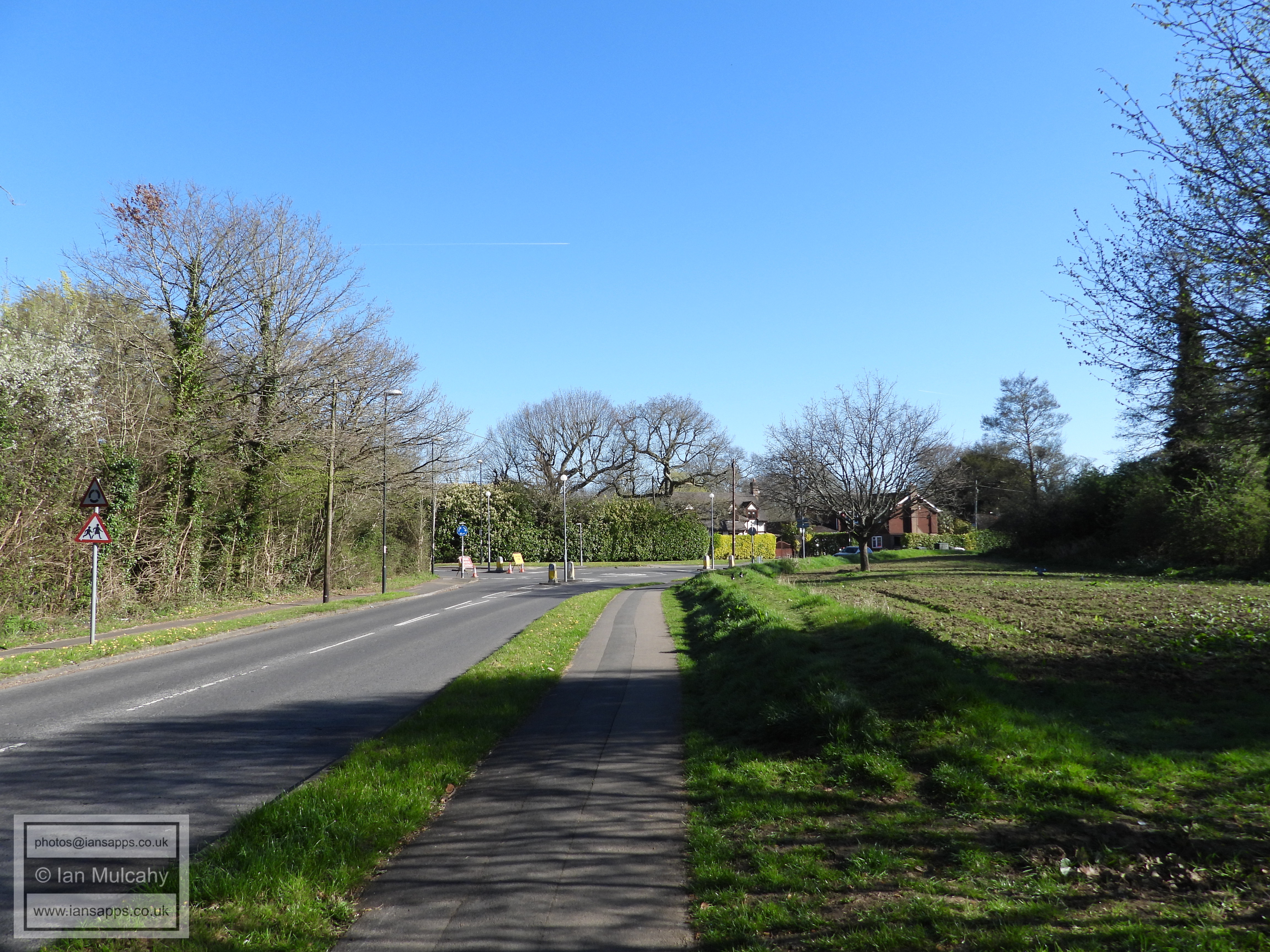
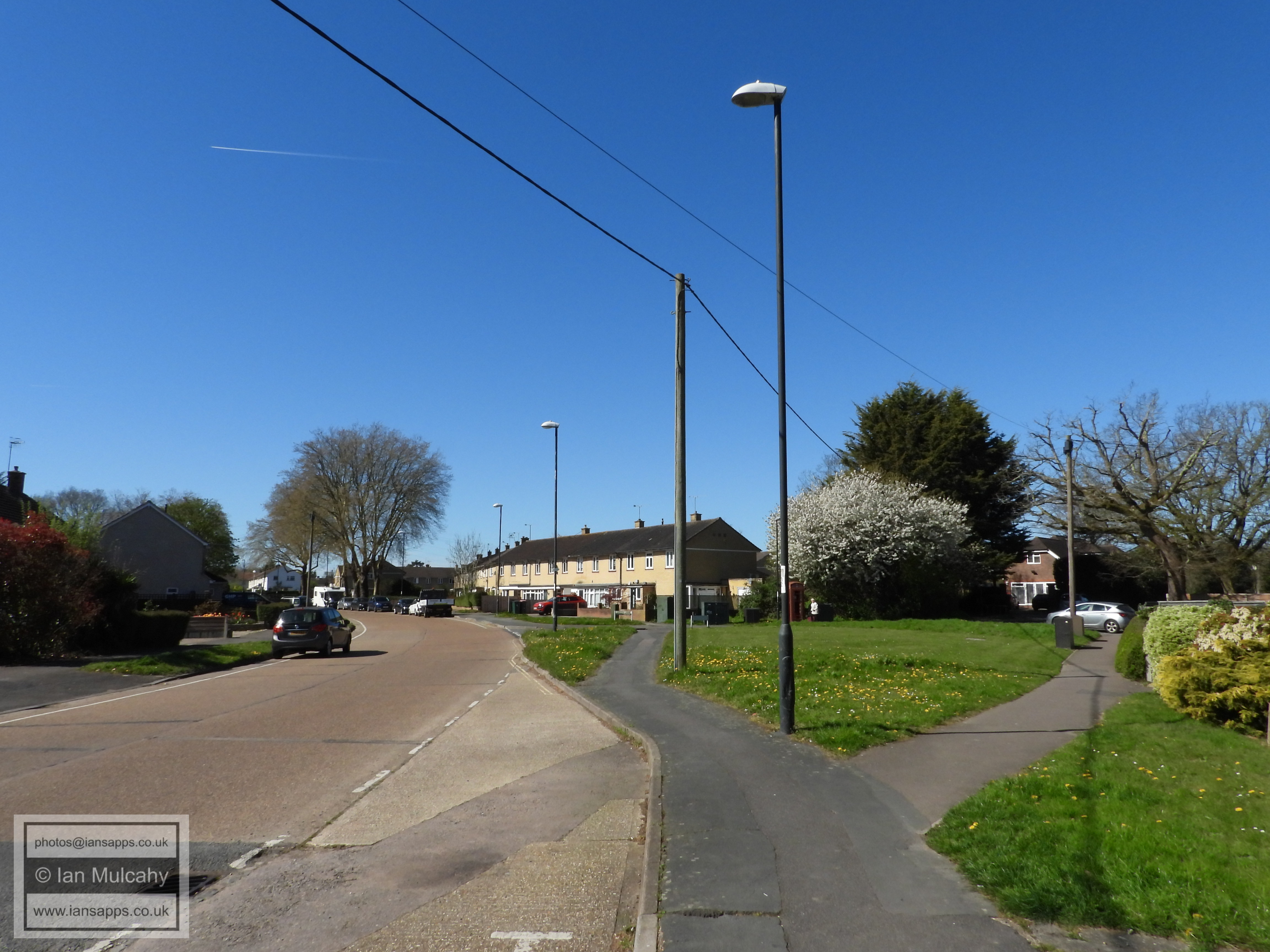
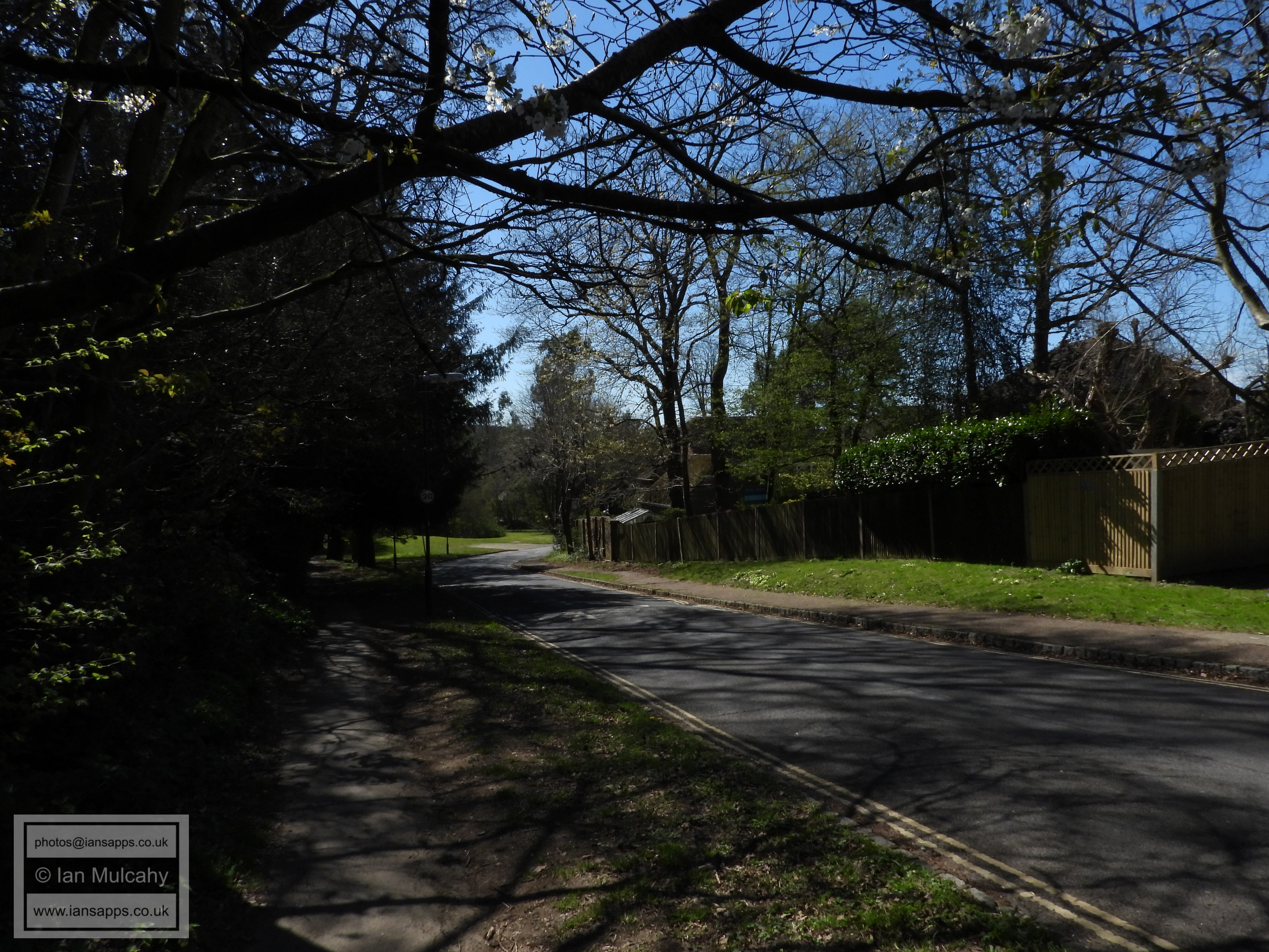
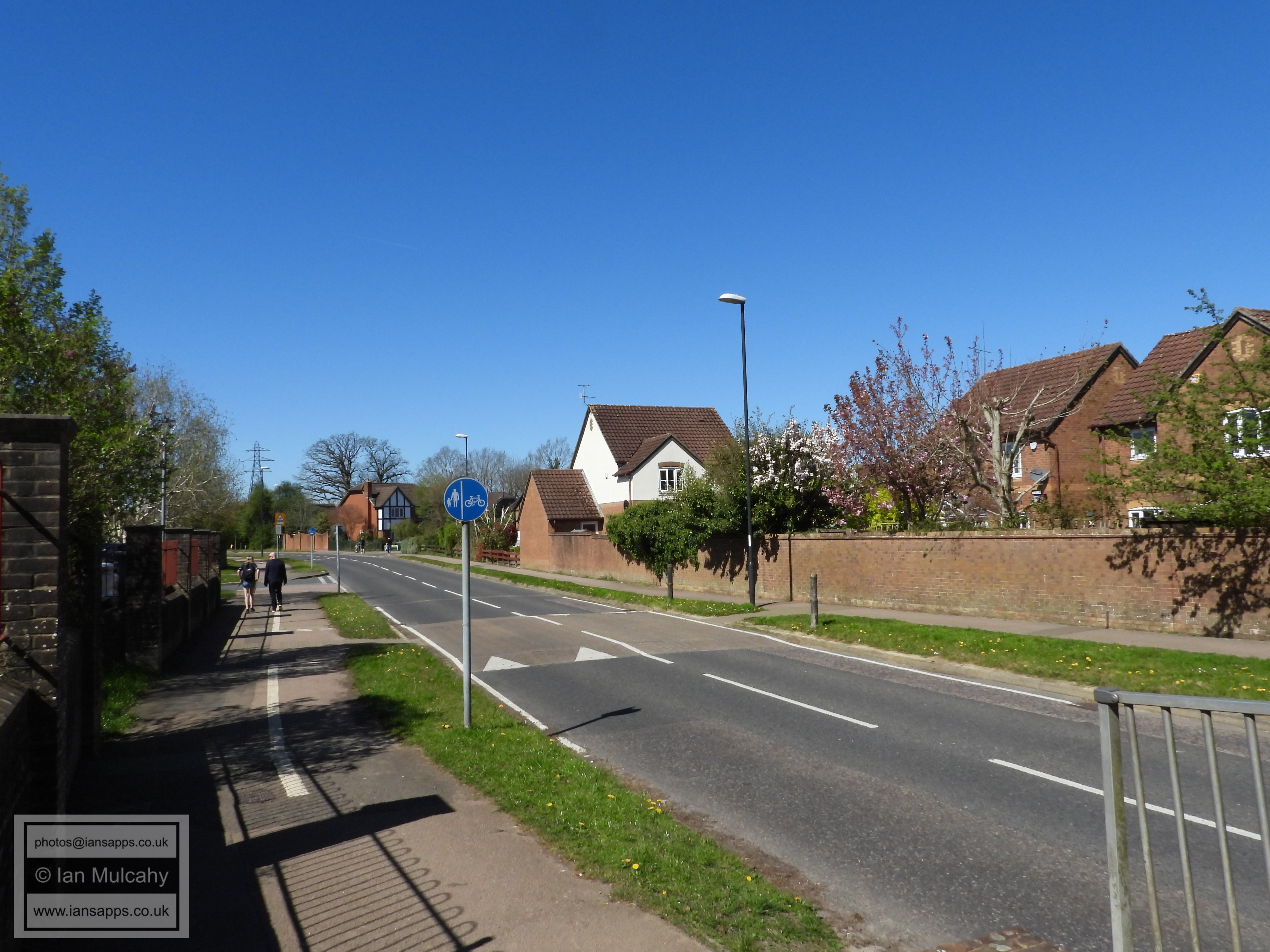
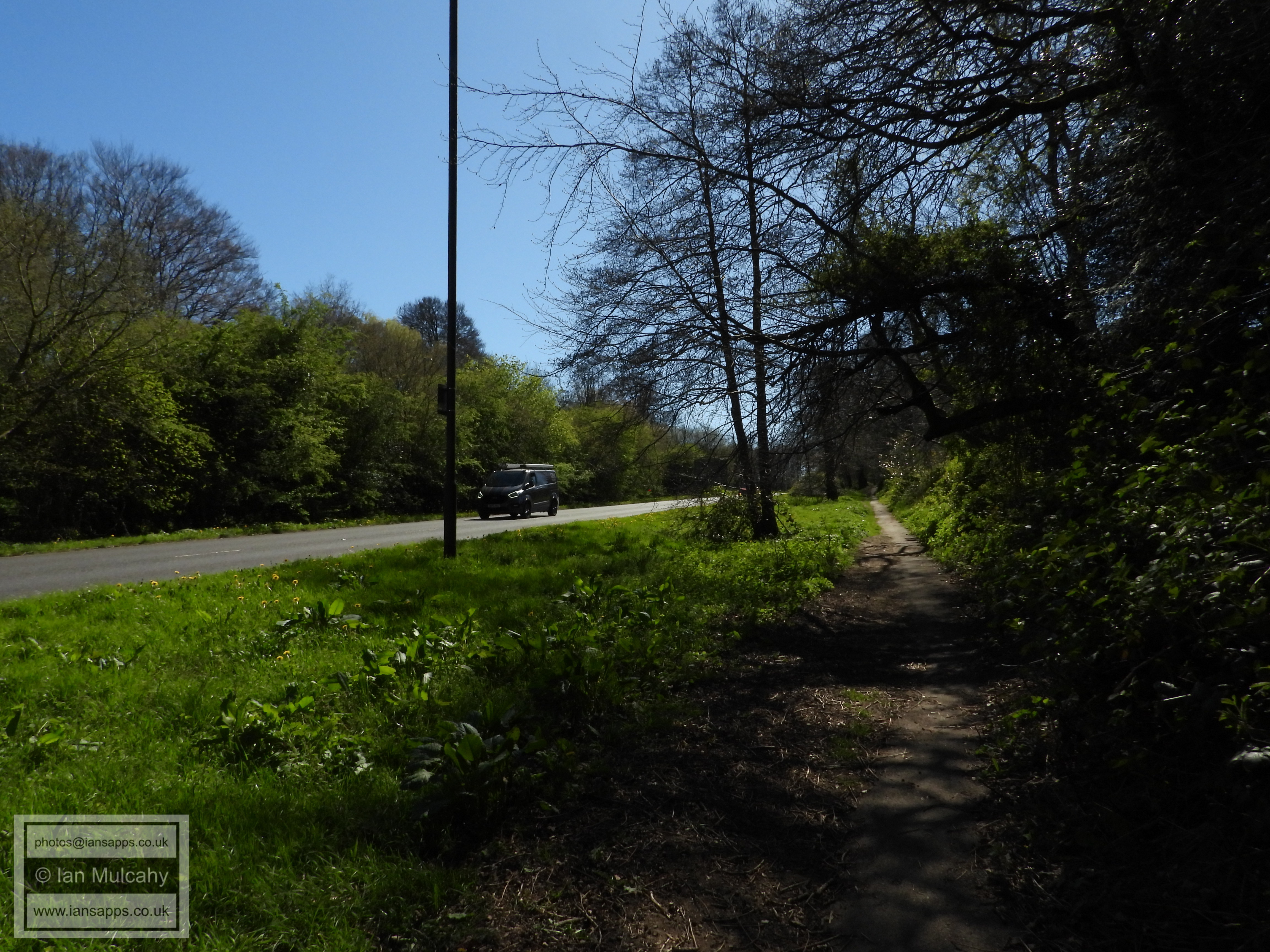
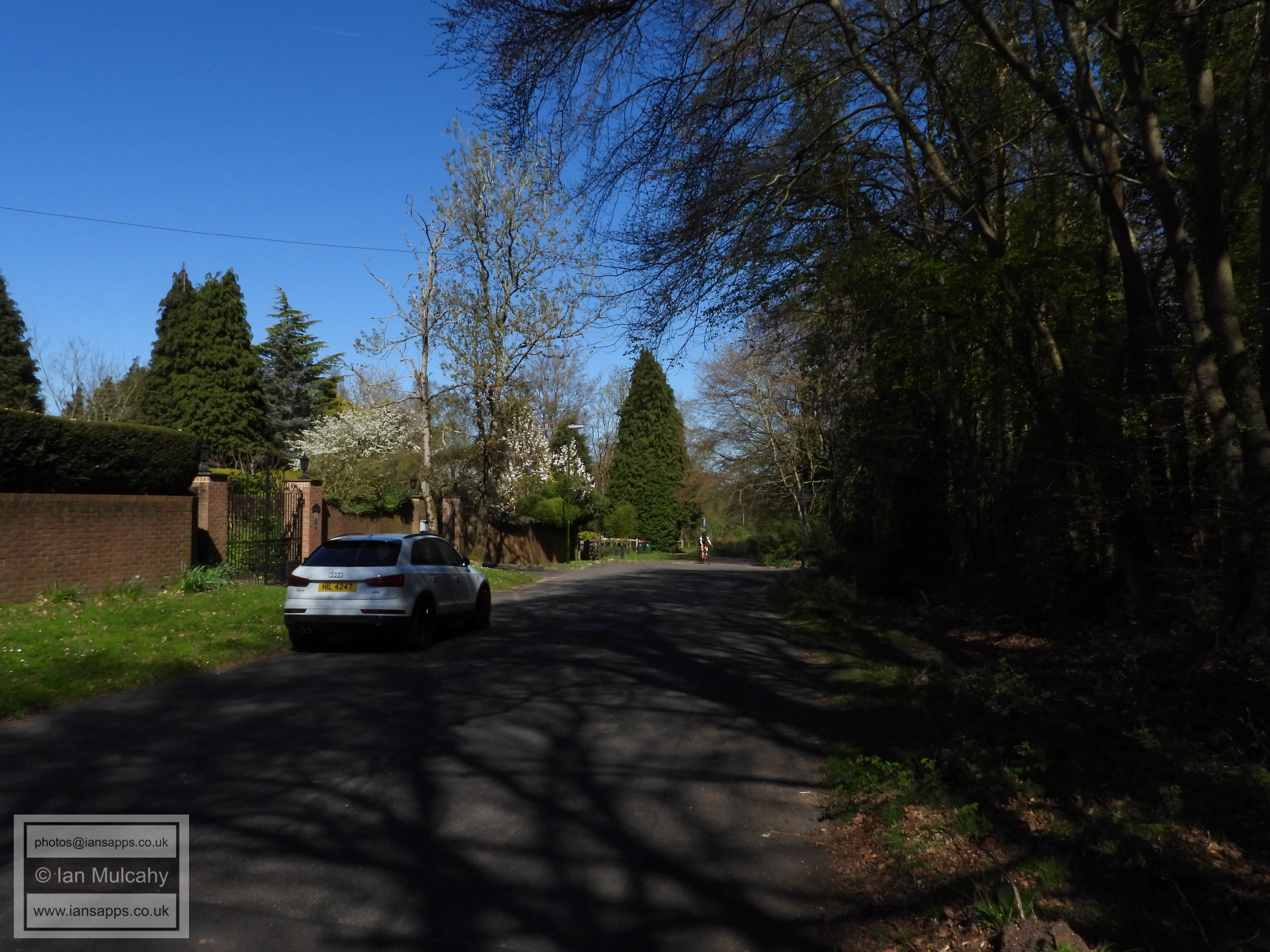
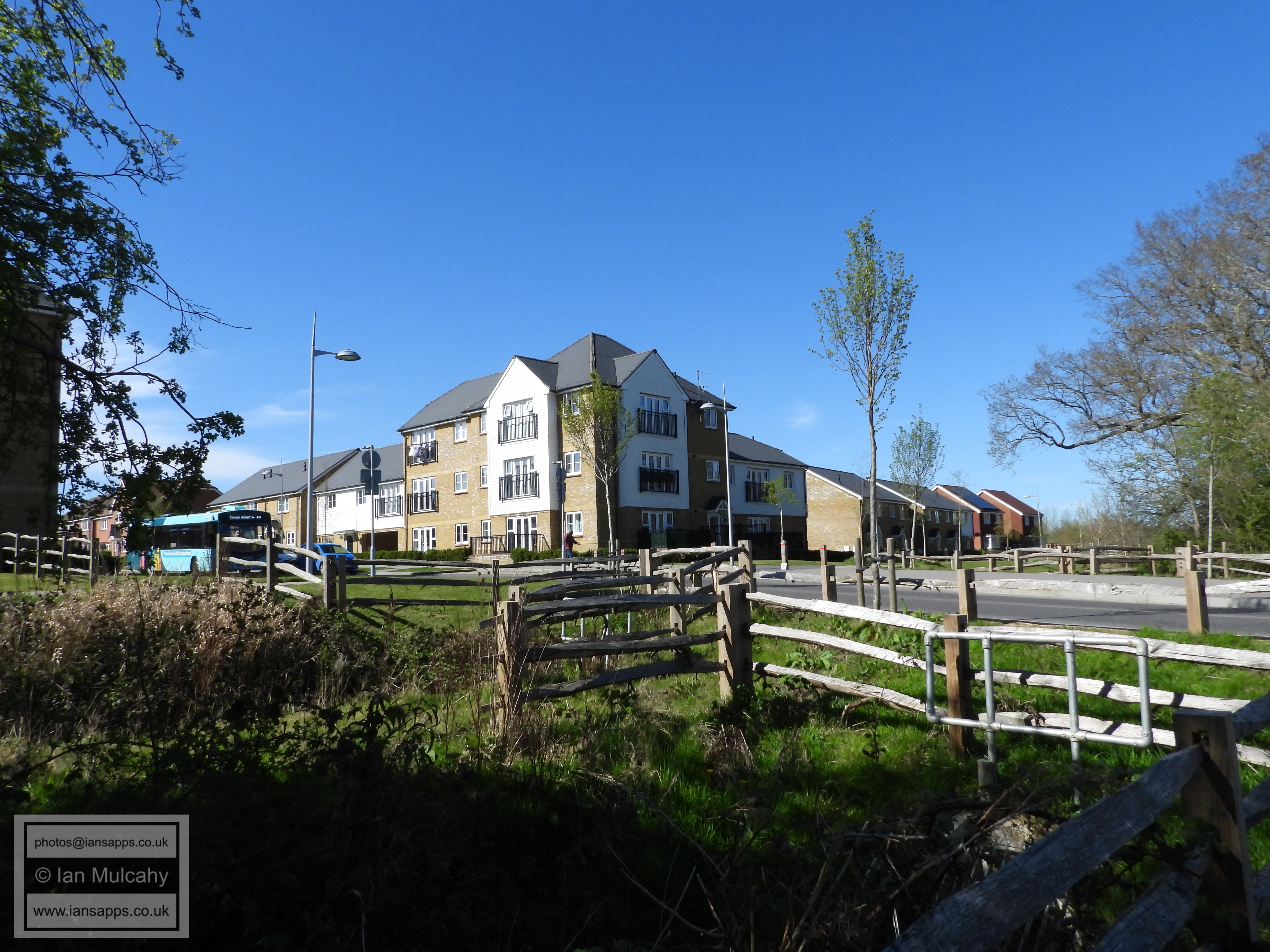
On reaching London Road turn right and continue walking until you get to Jordans (the Toby Carvery) and use the lights to cross the road. Continue walking south until you reach Tushmore Lane and turn left into it (the official route here will have you continuing to the gyratory, crossing Crawley Avenue and walking to Green Lane via Five Acres, Bramber Close & Steyning Close). At the end of Tushmore Lane, use the subway to cross Crawley Avenue into Green Lane and turn left. At the end of Green Lane, continue straight ahead into Woodfield Road, turning right just before reaching Northgate Avenue (following the Hazelwick School signage) and use the lights to cross the road, turning left and then immediate right into North Road.
On reaching North Road go (almost) straight across into Pond Wood Road and, opposite Ash Road, turn left into the alleyway that leads to Hazelwick subway. Cross Hazelwick Avenue via the subway and, on emerging, turn right towards Tesco.
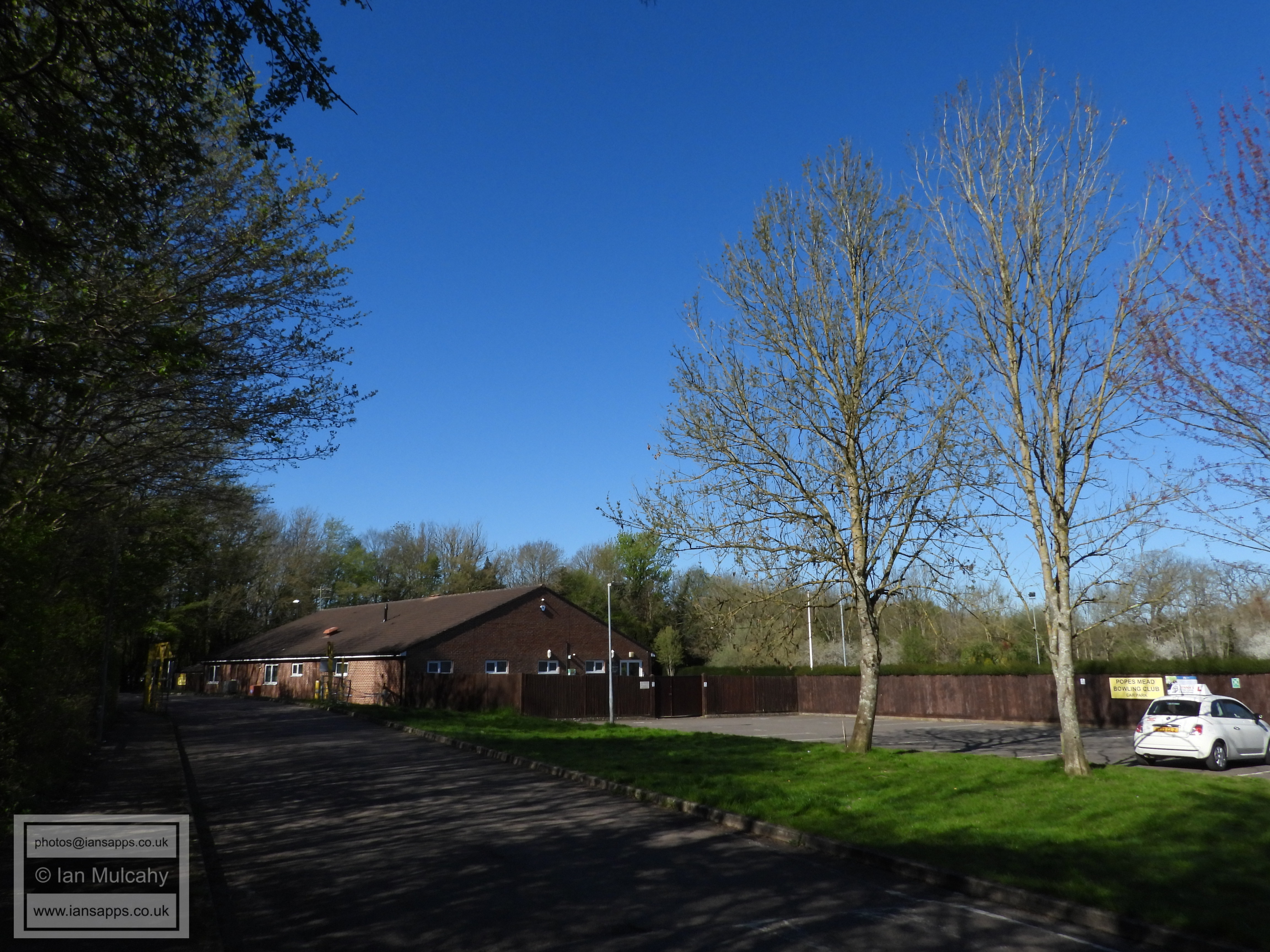
Popes Mead Bowls Club
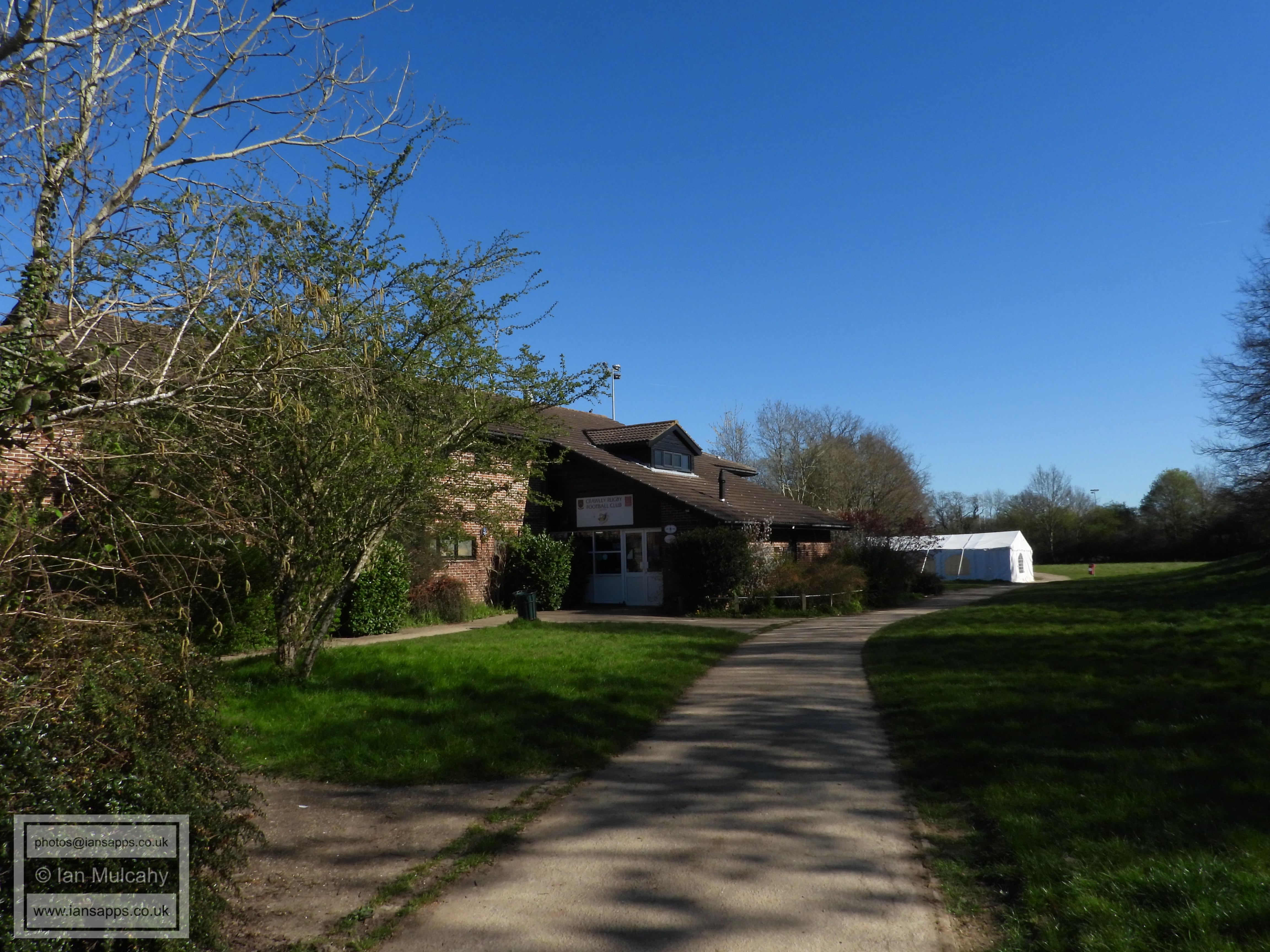
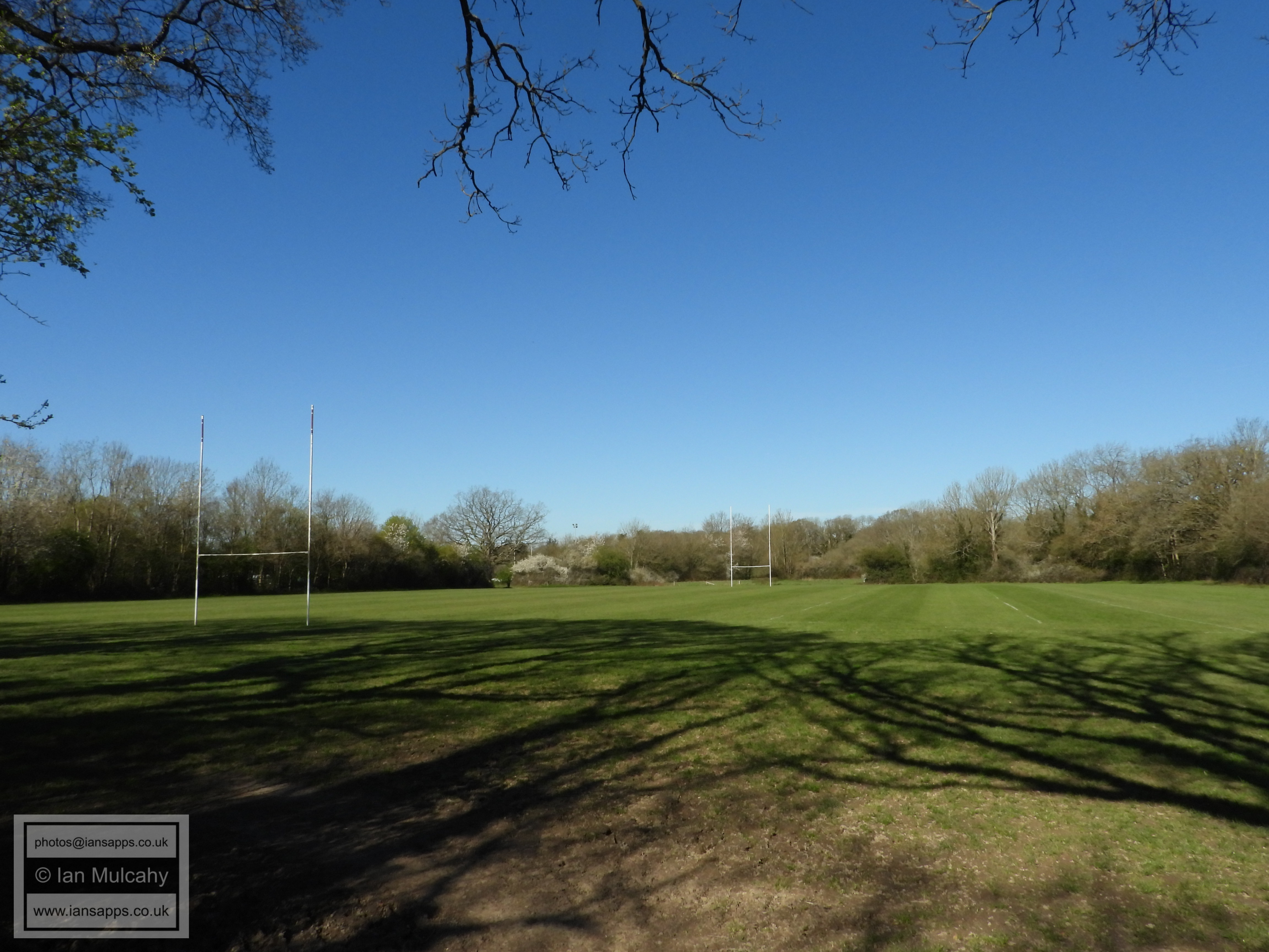
Crawley Rugby Club
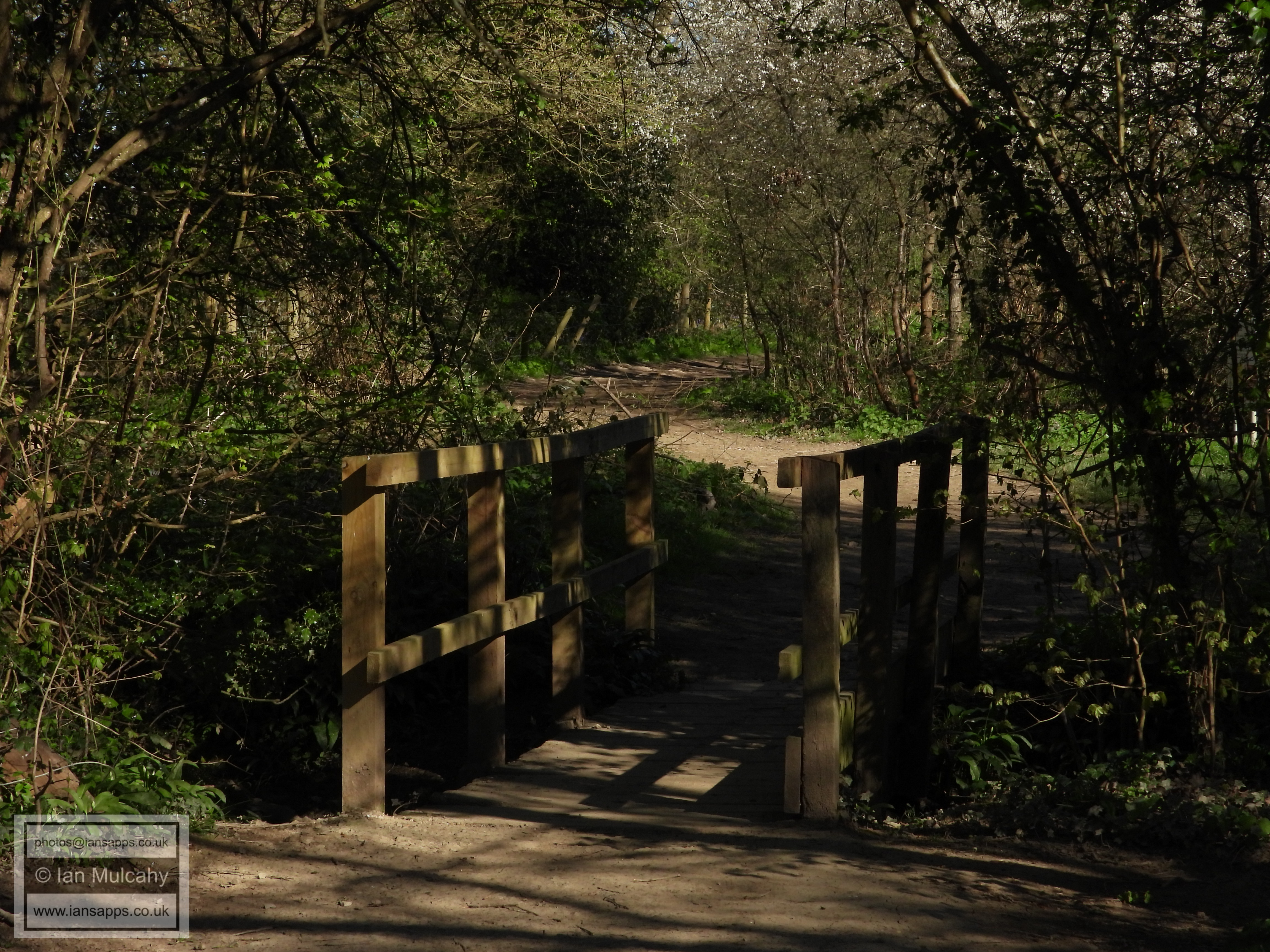
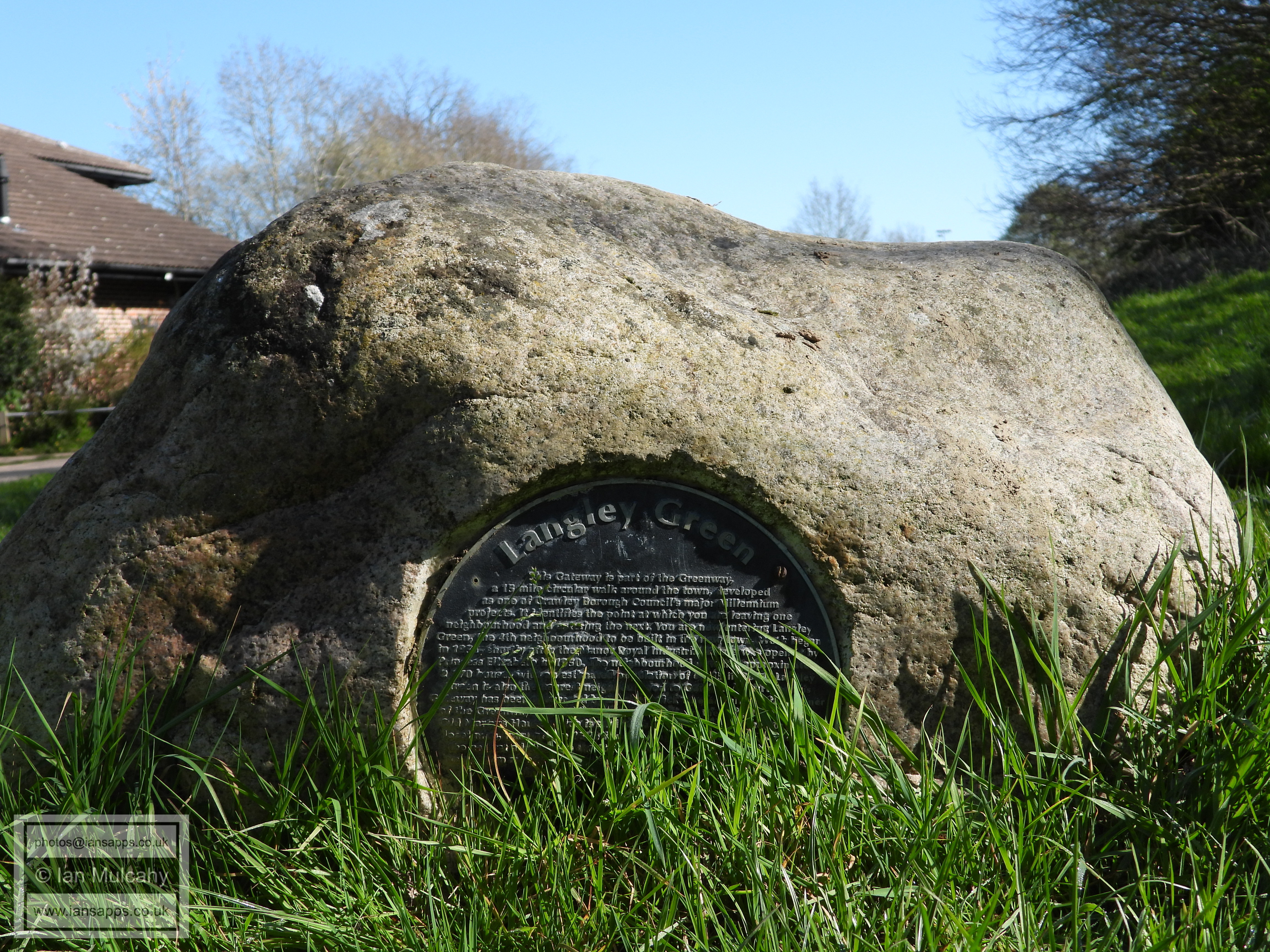
Millennium Greenway marker stone
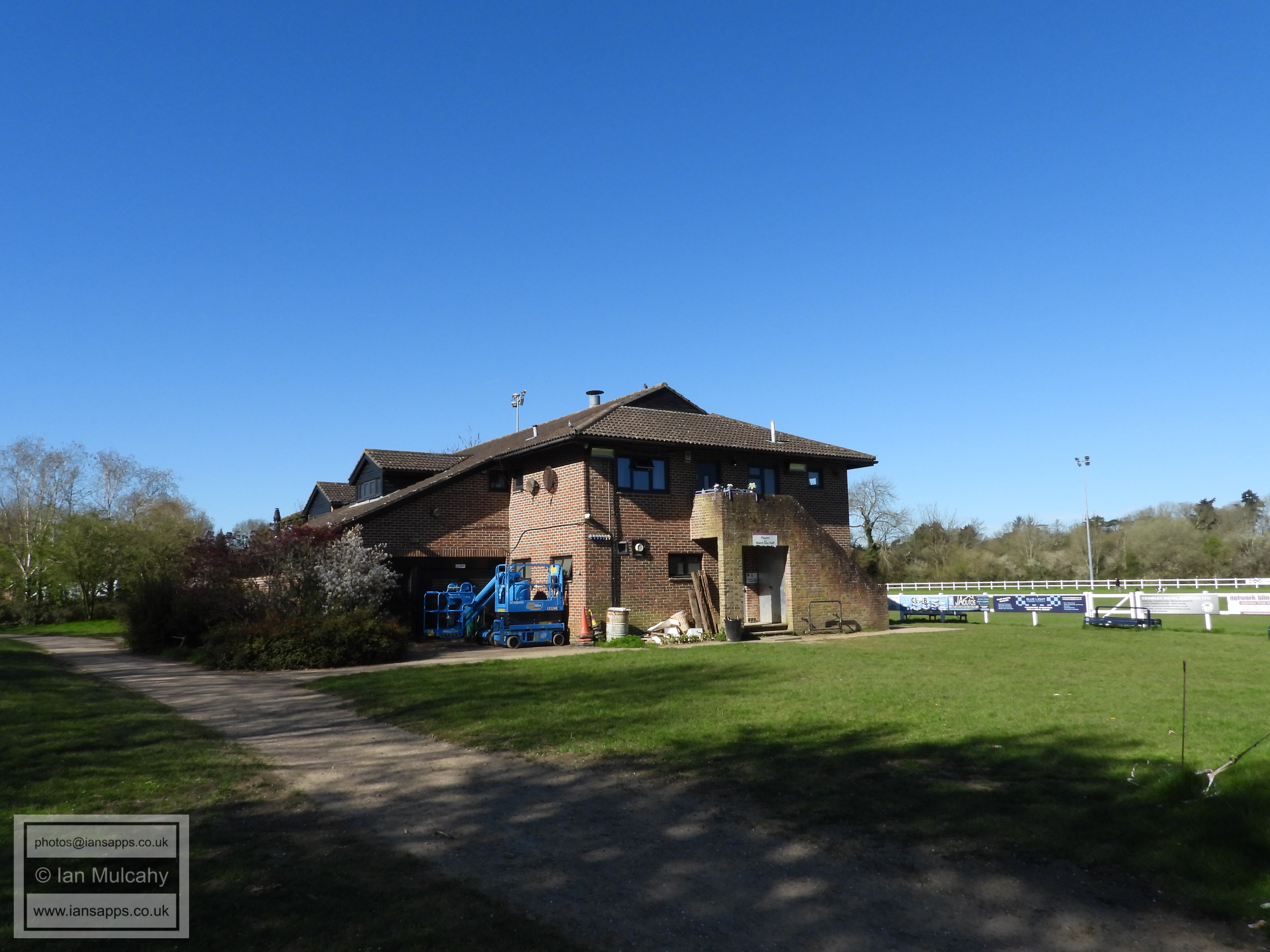
Crawley Rugby Club
Glyn House
Langley Walk
Fir Tree Close
Langley Walk
Langley Walk
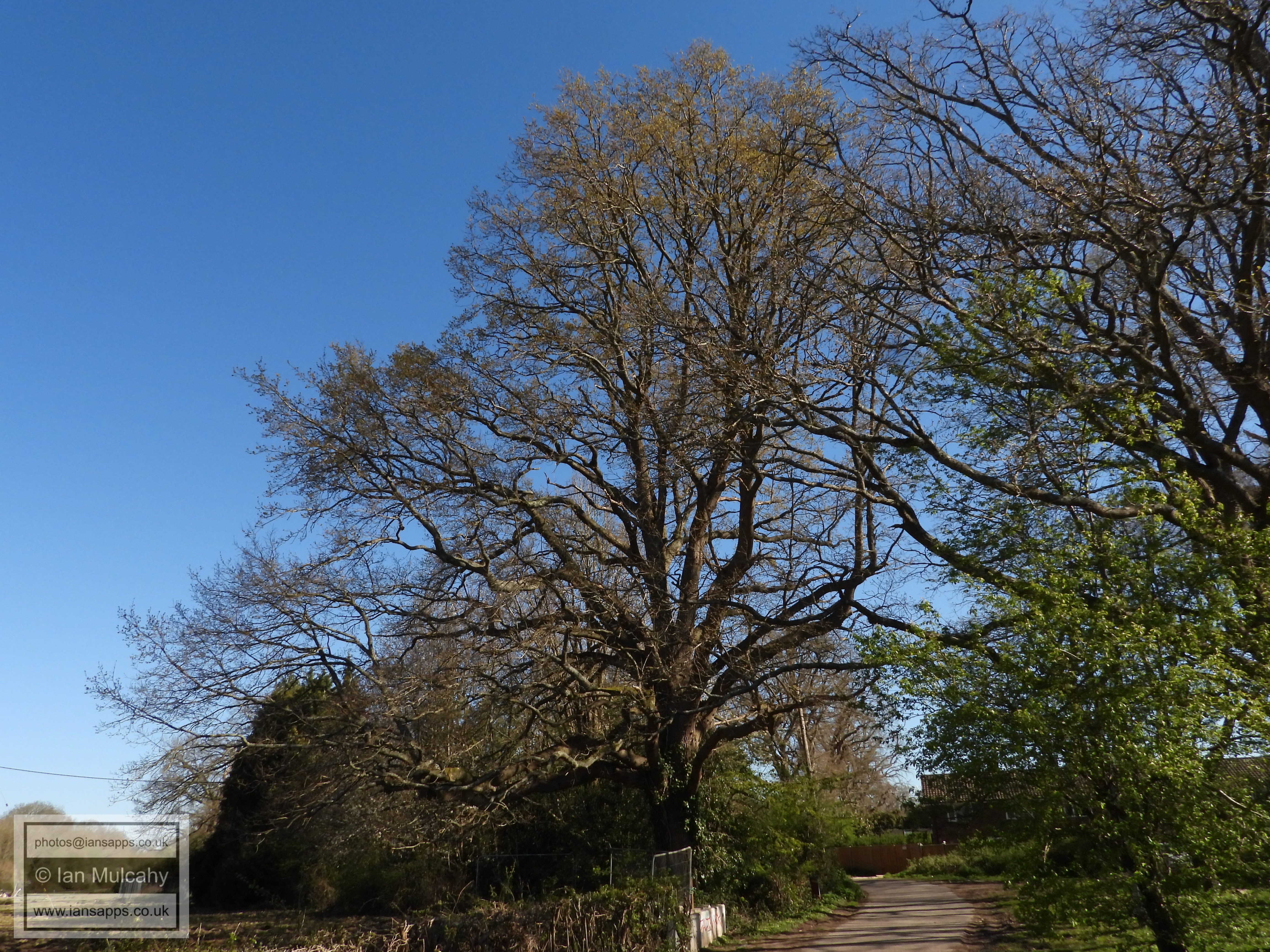
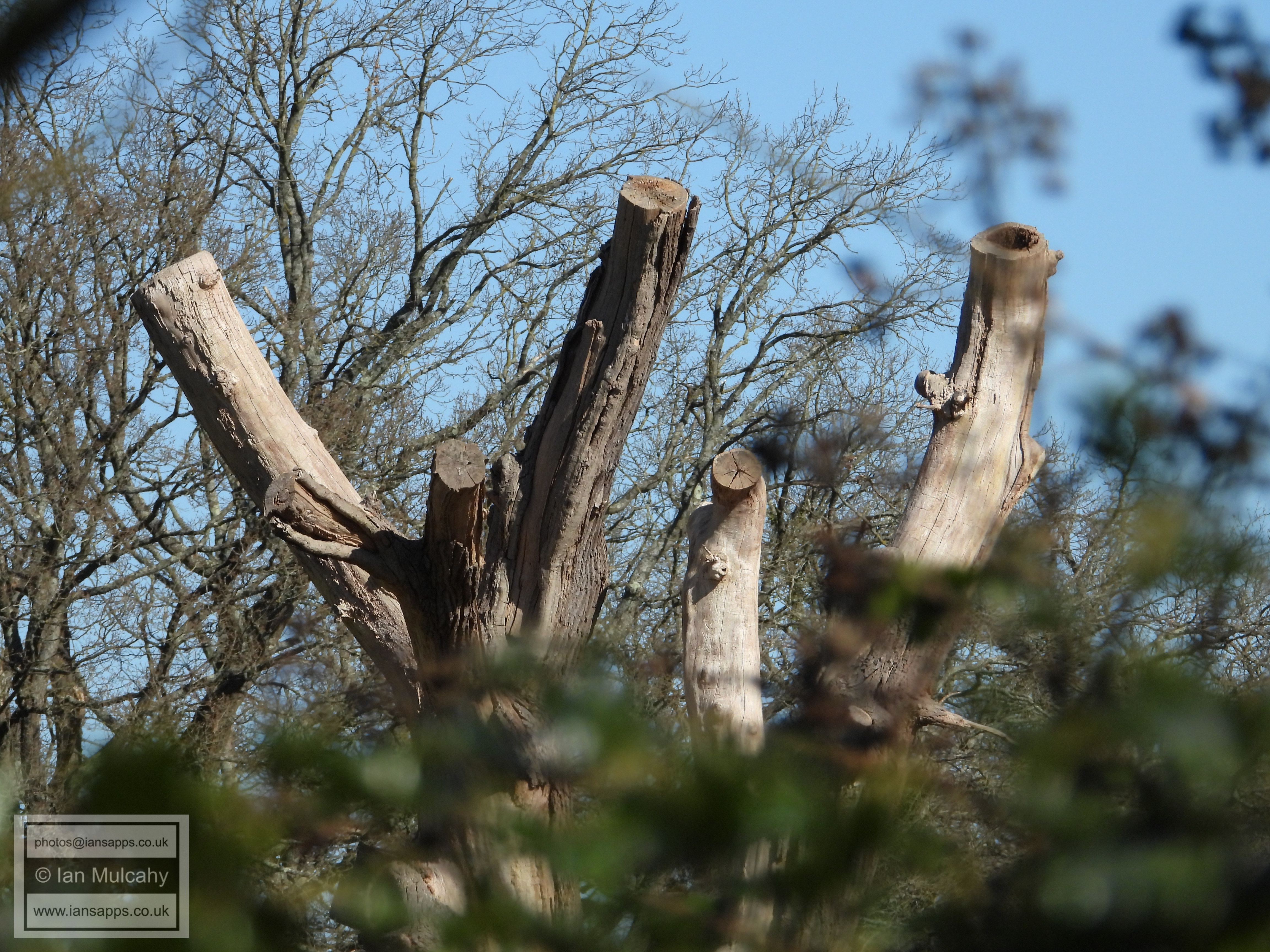
Old dead oak at Langley Green Farm
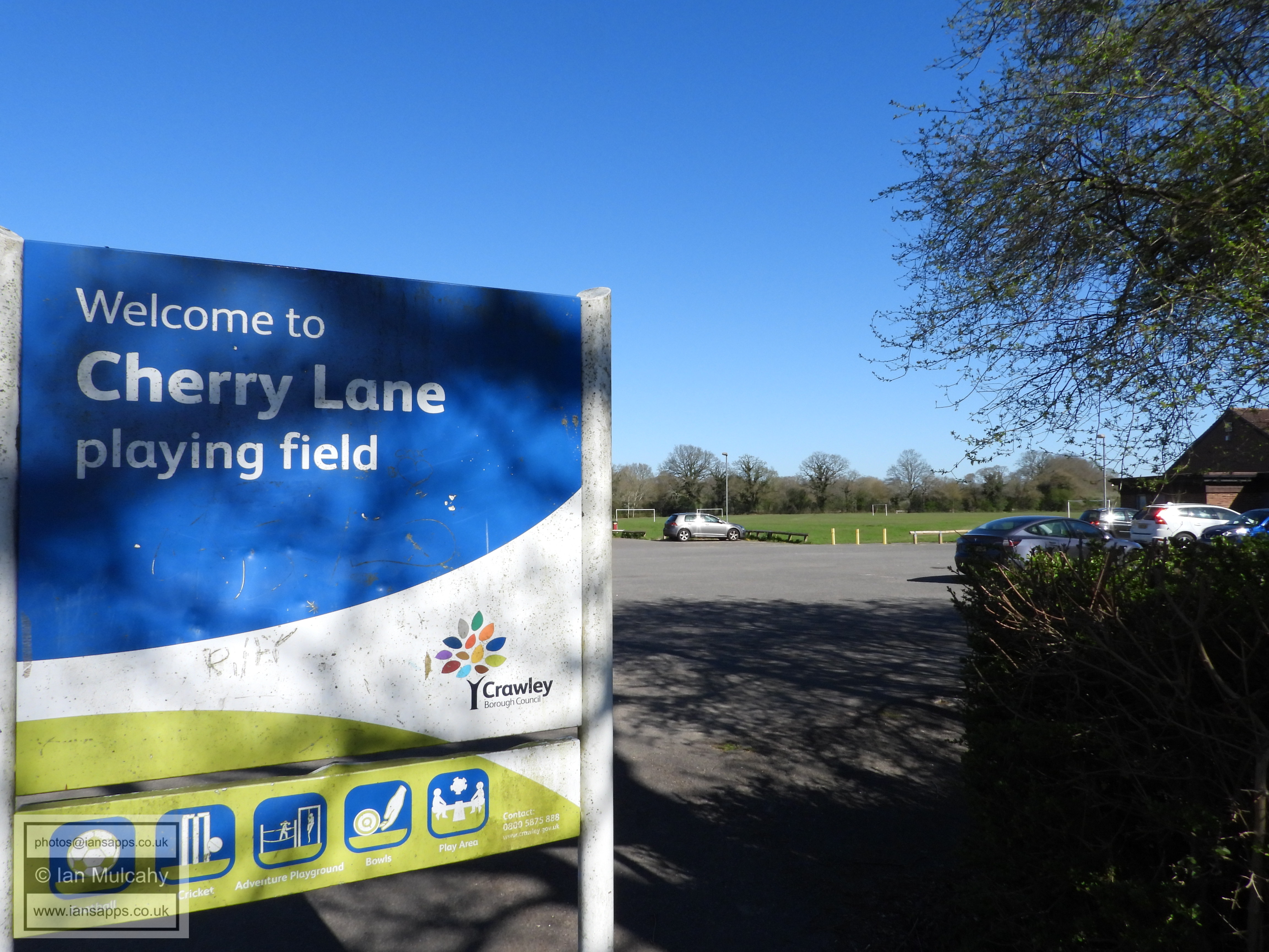
Cherry Lane Playing Field
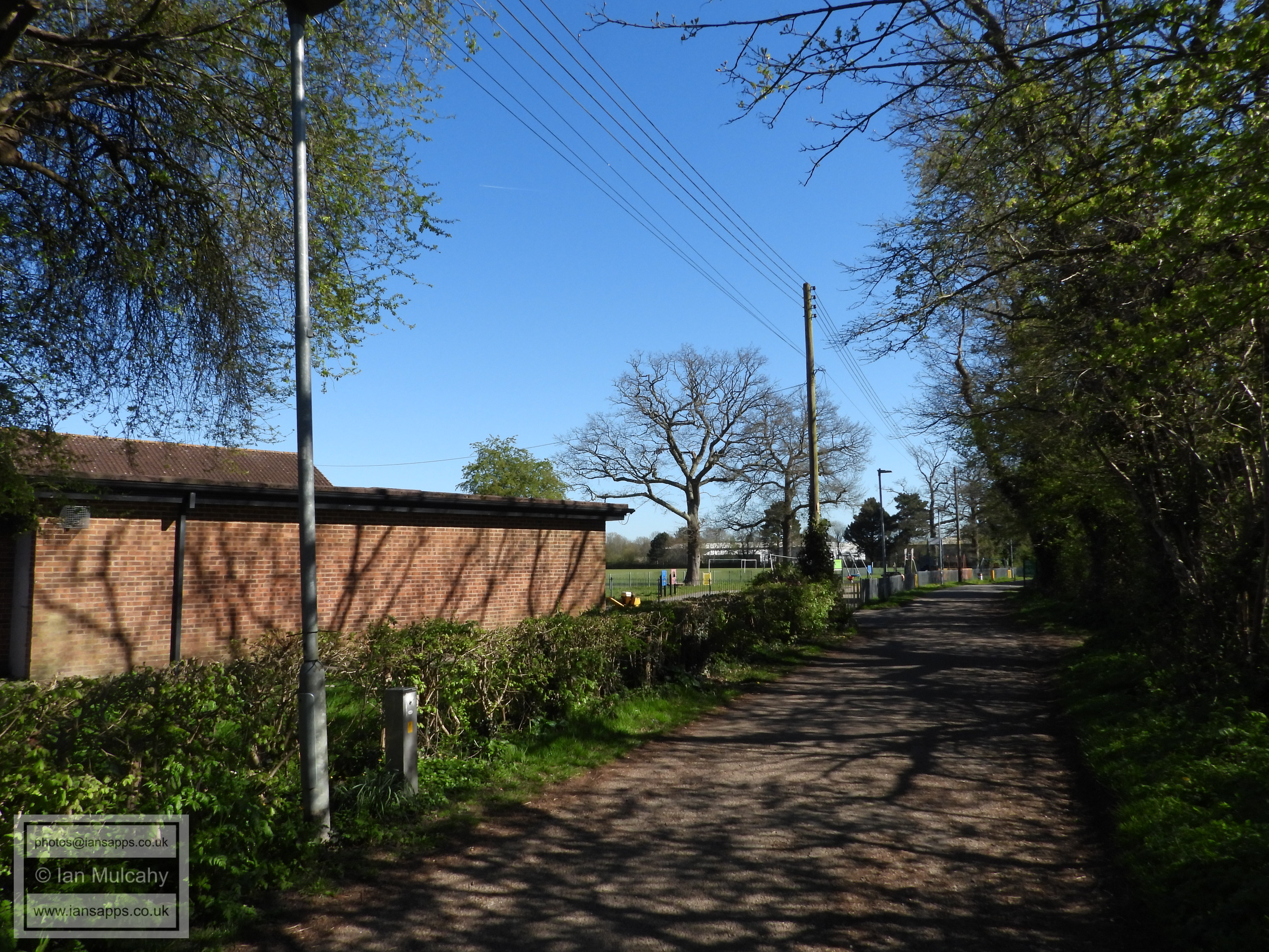
Langley Walk
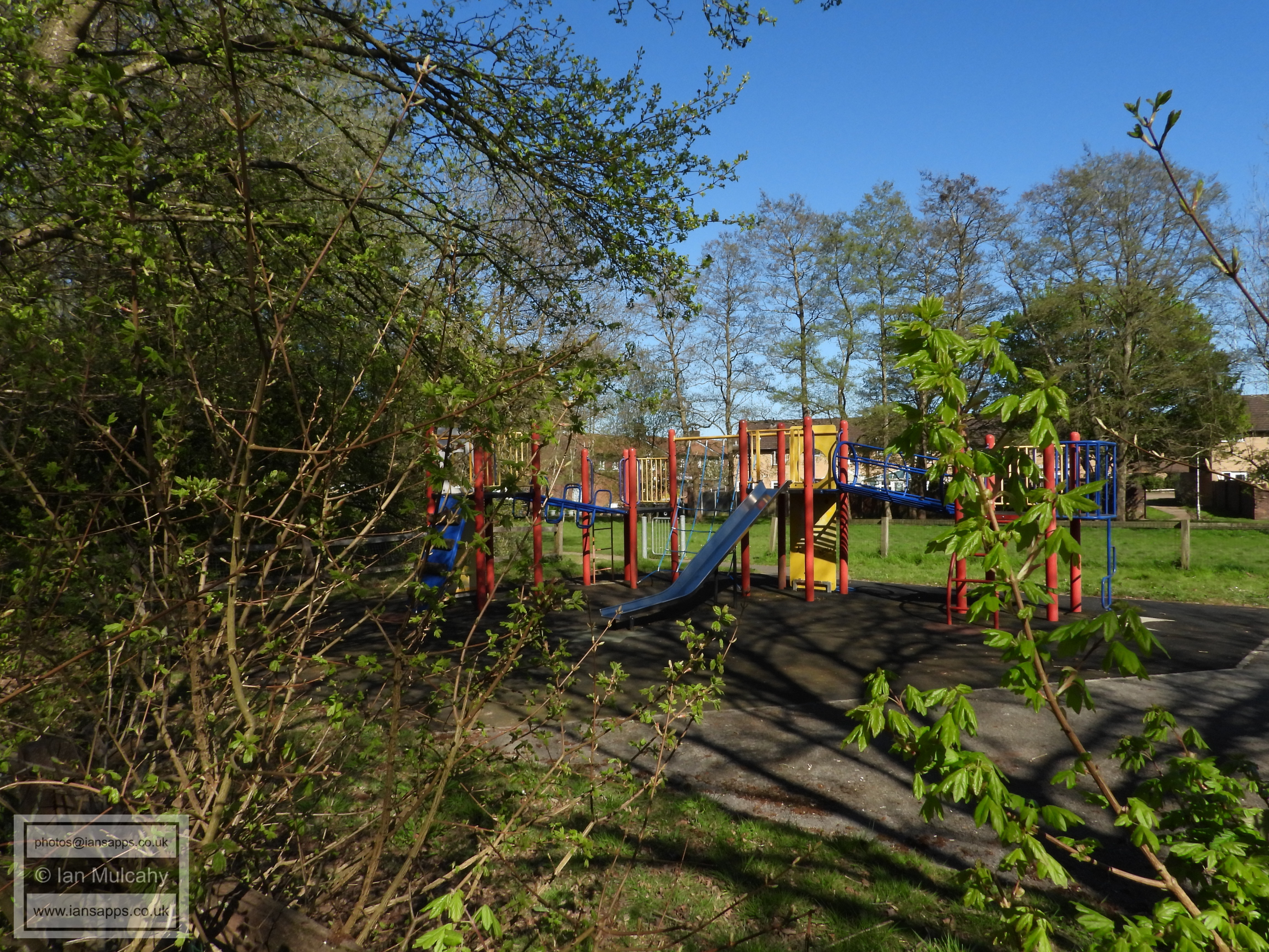
Cherry Lane Adventure Playground. Easter holidays and deserted. This wouldn't have happened under Phil Hayes' watch
Cherry Lane BMX track
Langley Walk towards County Oak
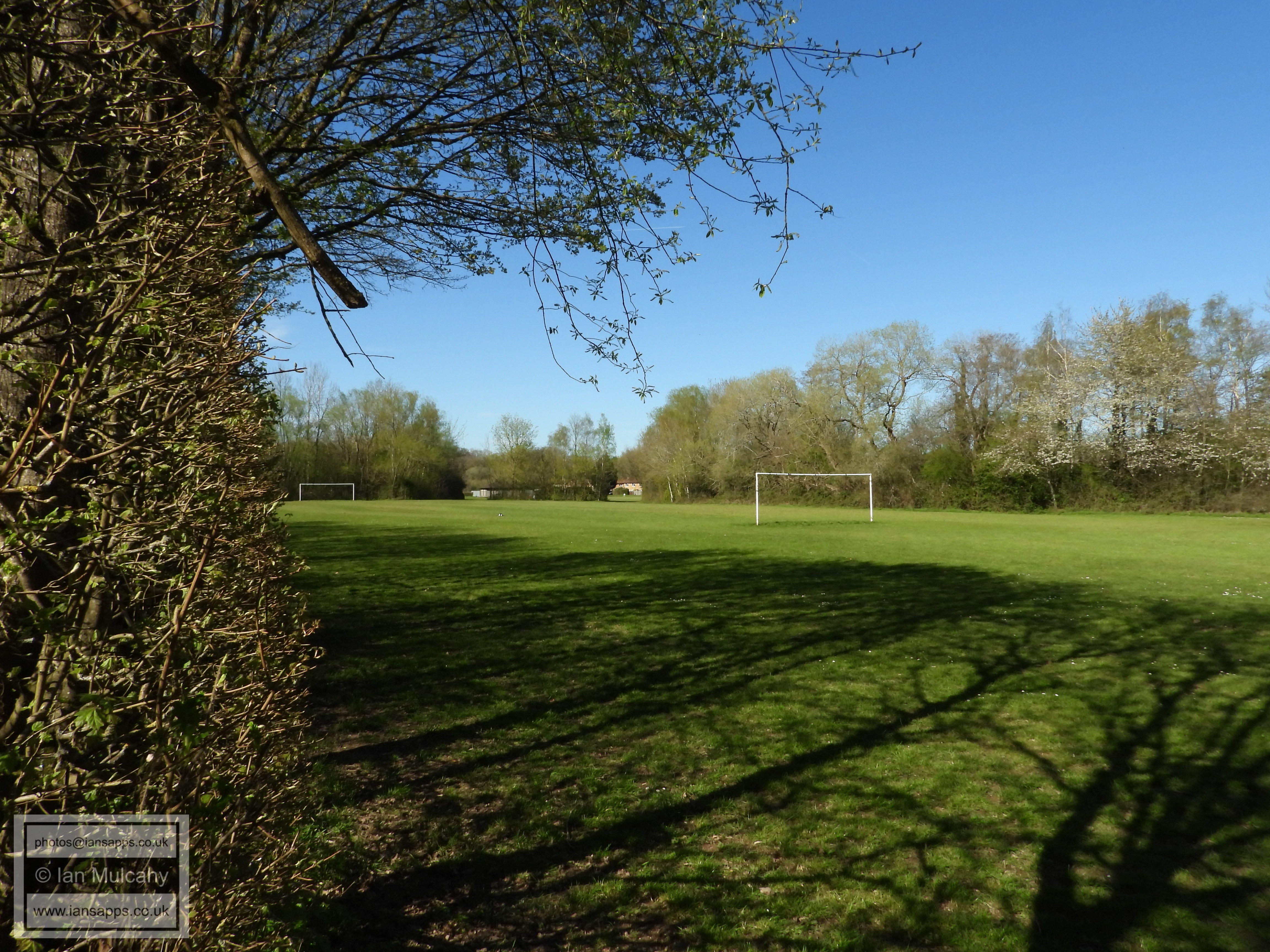
Cherry Lane Playing Fields (northern section)
Cherry Lane Playing Fields (southern section)
The pathway from Cherry Lane Playing Fields to Martyrs Avenue
via the, now disused garages to the immediate south of the dump.
Martyrs Avenue looking west
Langley Green Hospital
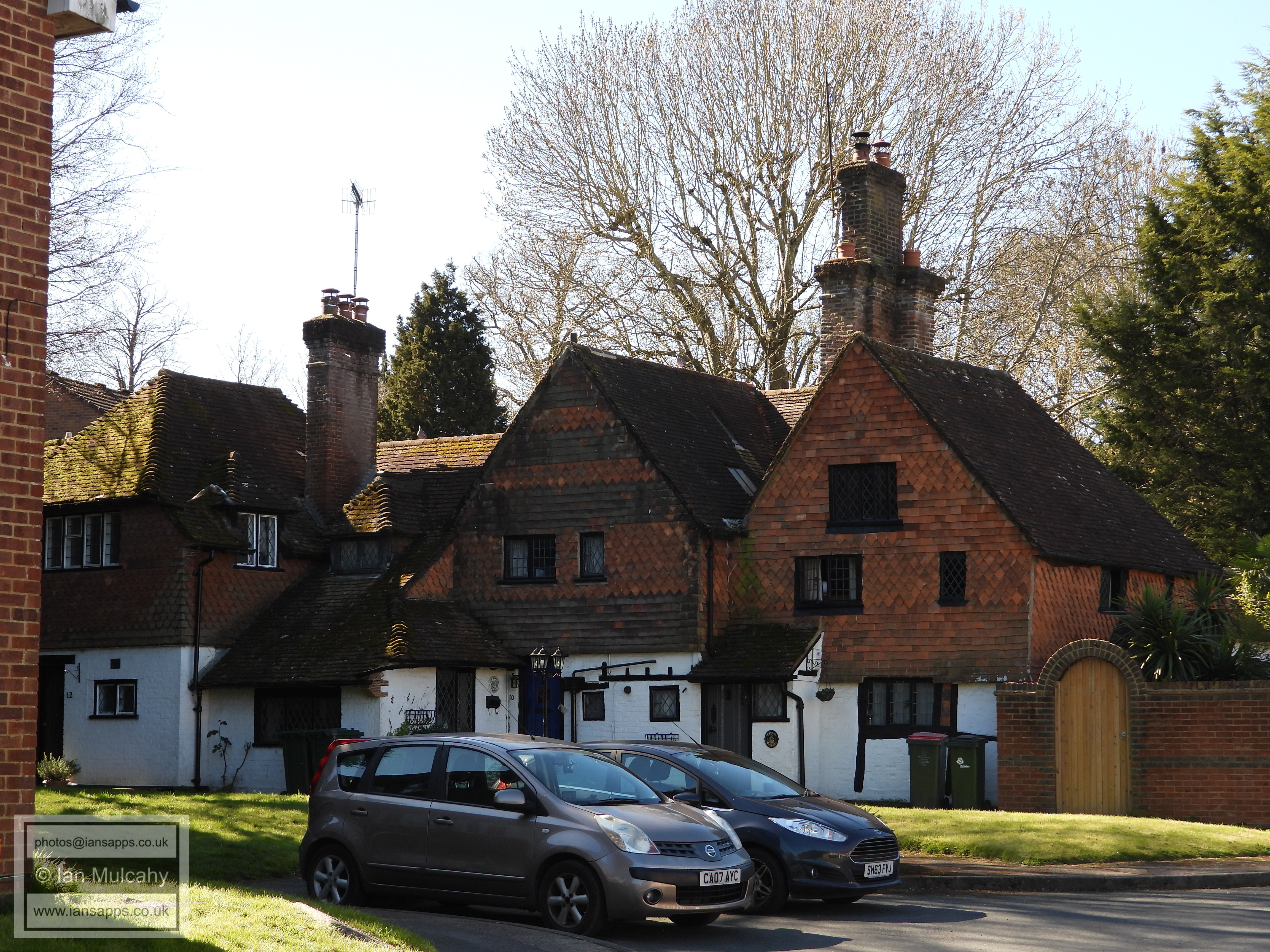
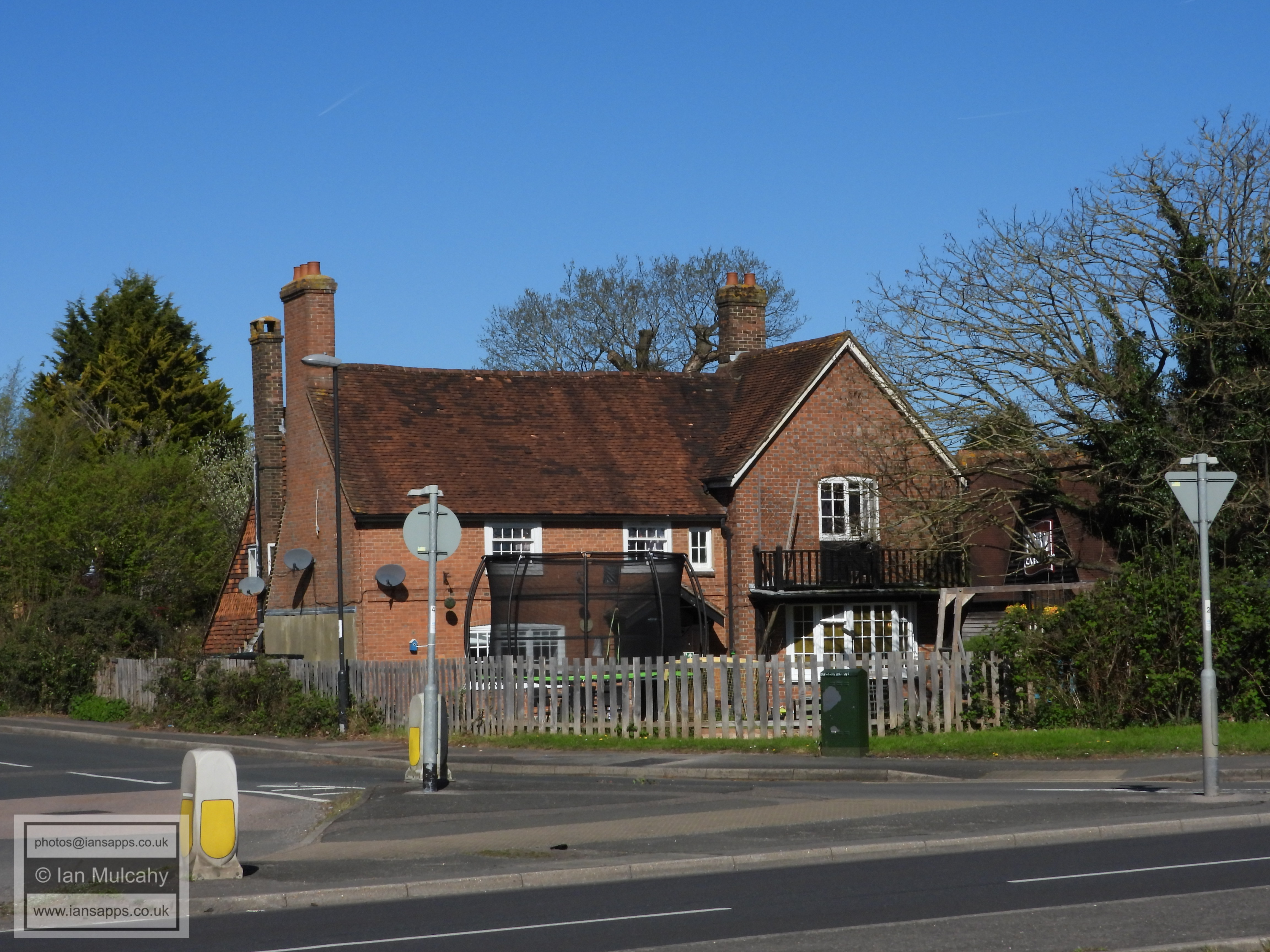
The Old Martyrs is a farmhouse dating to the early 1500s which was named in tribute to Thomas Dungate, one of three Sussex Martyrs burnt at the stake in East Grinstead High Street on 18 July 1556. Dungate, who during the reign of Queen 'Bloody' Mary was judged to be guilty of heresy against Catholicism, had been discovered hiding at the farm
Martyrs Avenue looking west
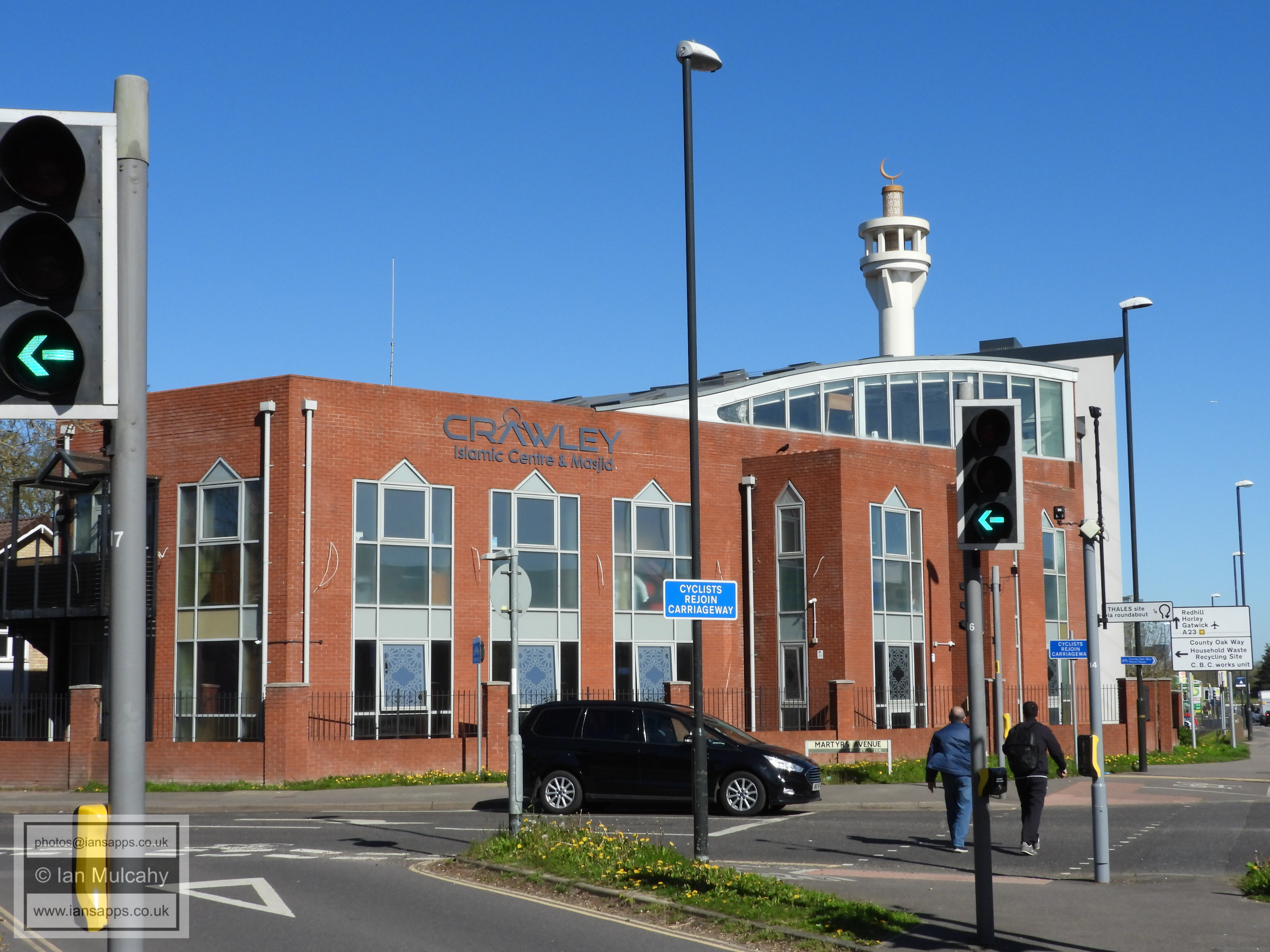
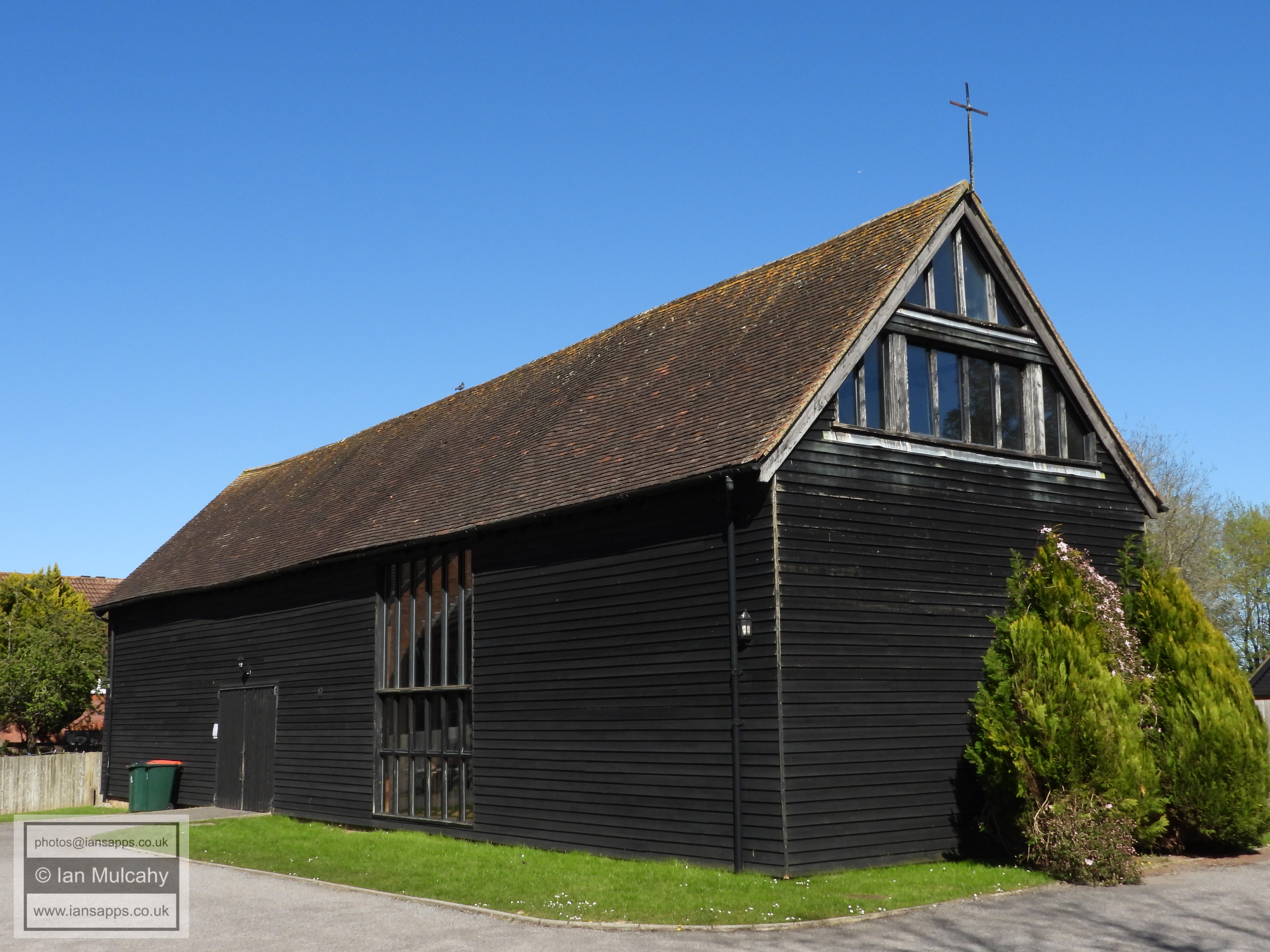
Langley Green Mosque
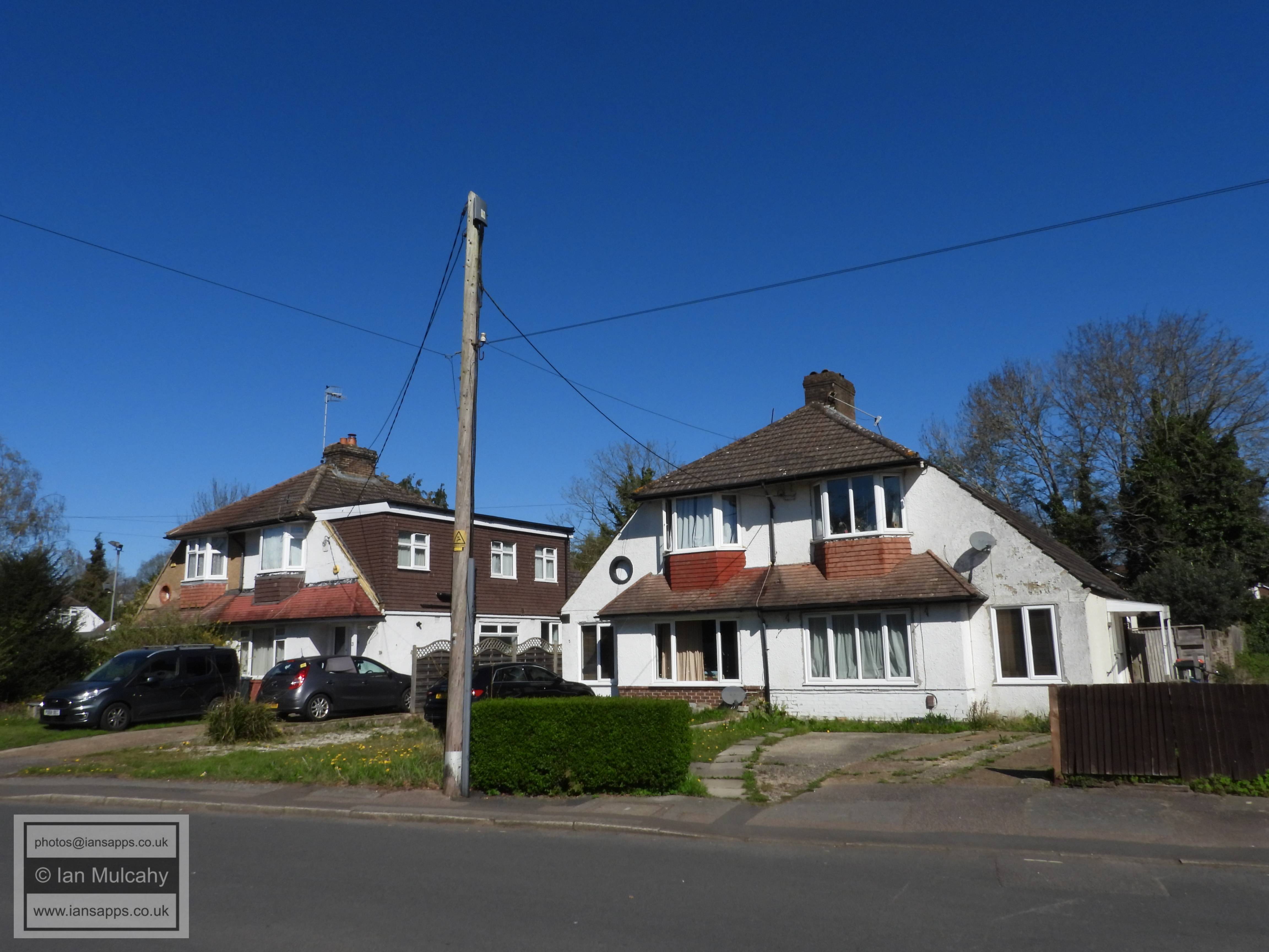
London Road
Jordans Farm (left), a much altered 16th century farmhouse, and the Toby Carvery (right), based in the barn to Jordans Farm which was built in 1642. Many Crawley residents will remember the barn being home to APV Sports & Social Club from the 1950s to the mid 1980s.
Jordans Farm
The Old House on London Road, a mostly unnoticed cottage dating to the late 1600s with some 19th century and modern additions.
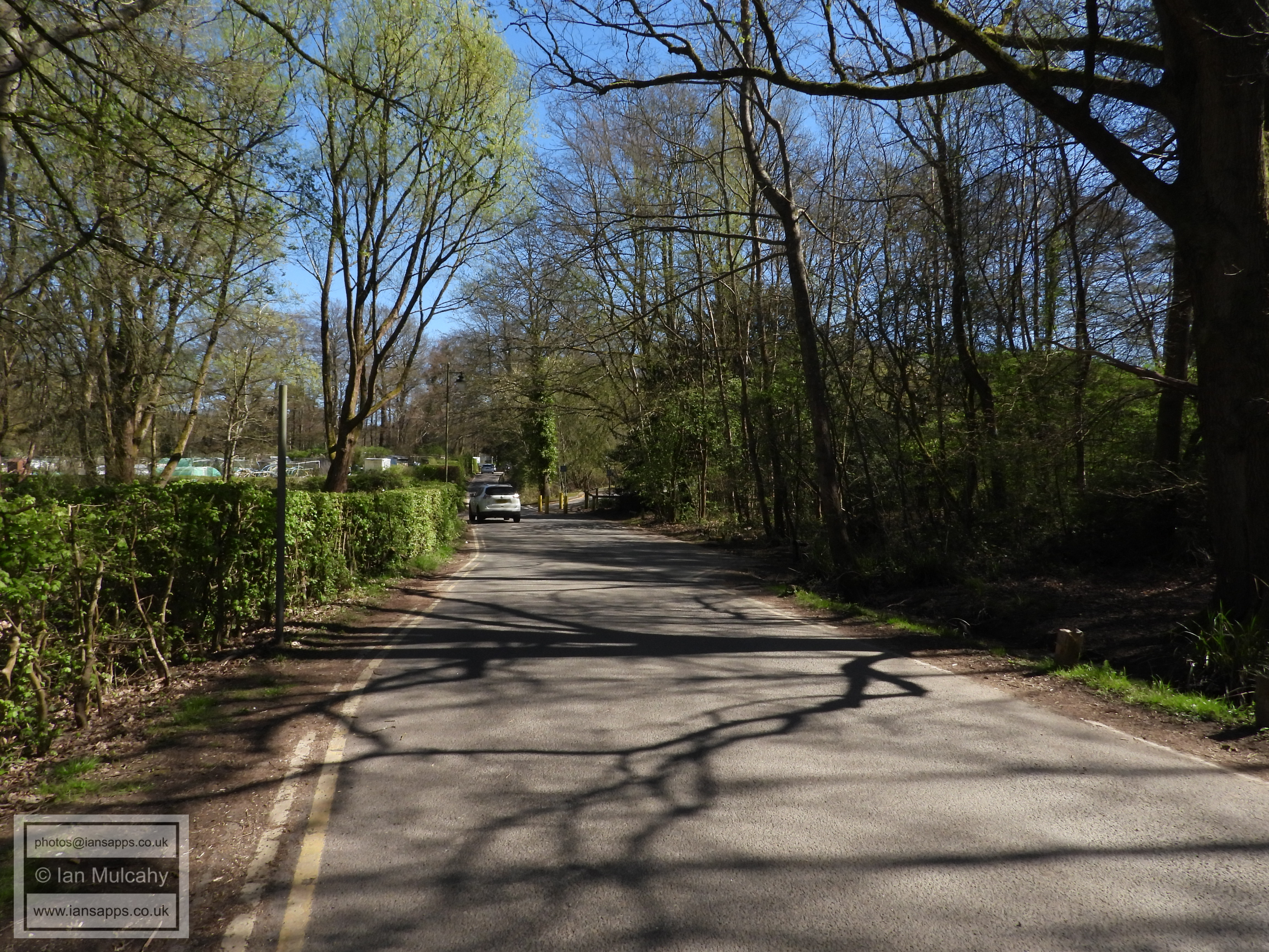
Tushmore Lane
Tushmore Lane
Tushmore Lane
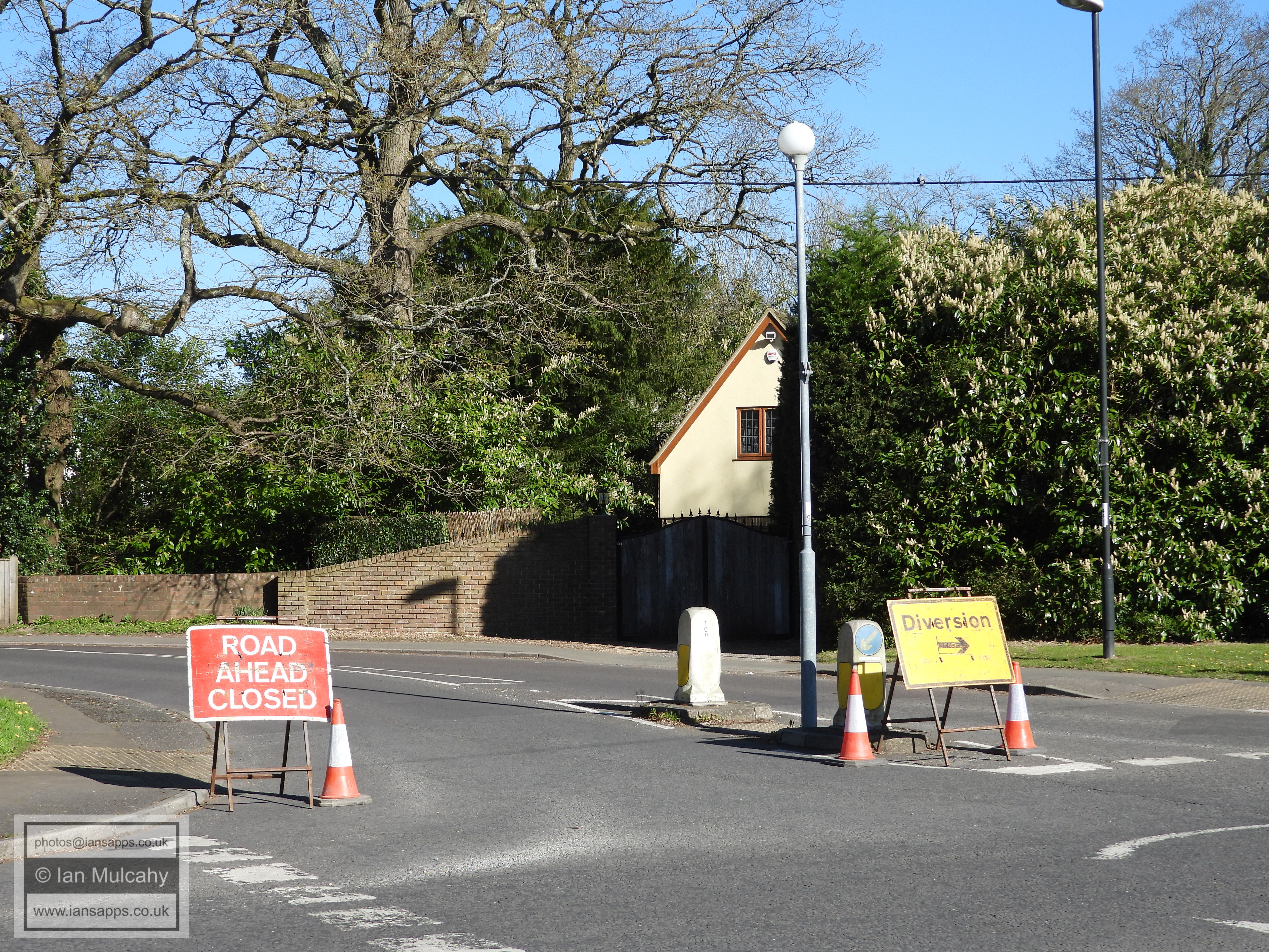
The Tushmore Lane to Green Lane subway, looking north into the industrial area.
The Tushmore Lane to Green Lane subway, looking south into Northgate.
The Tushmore Lane to Green Lane subway
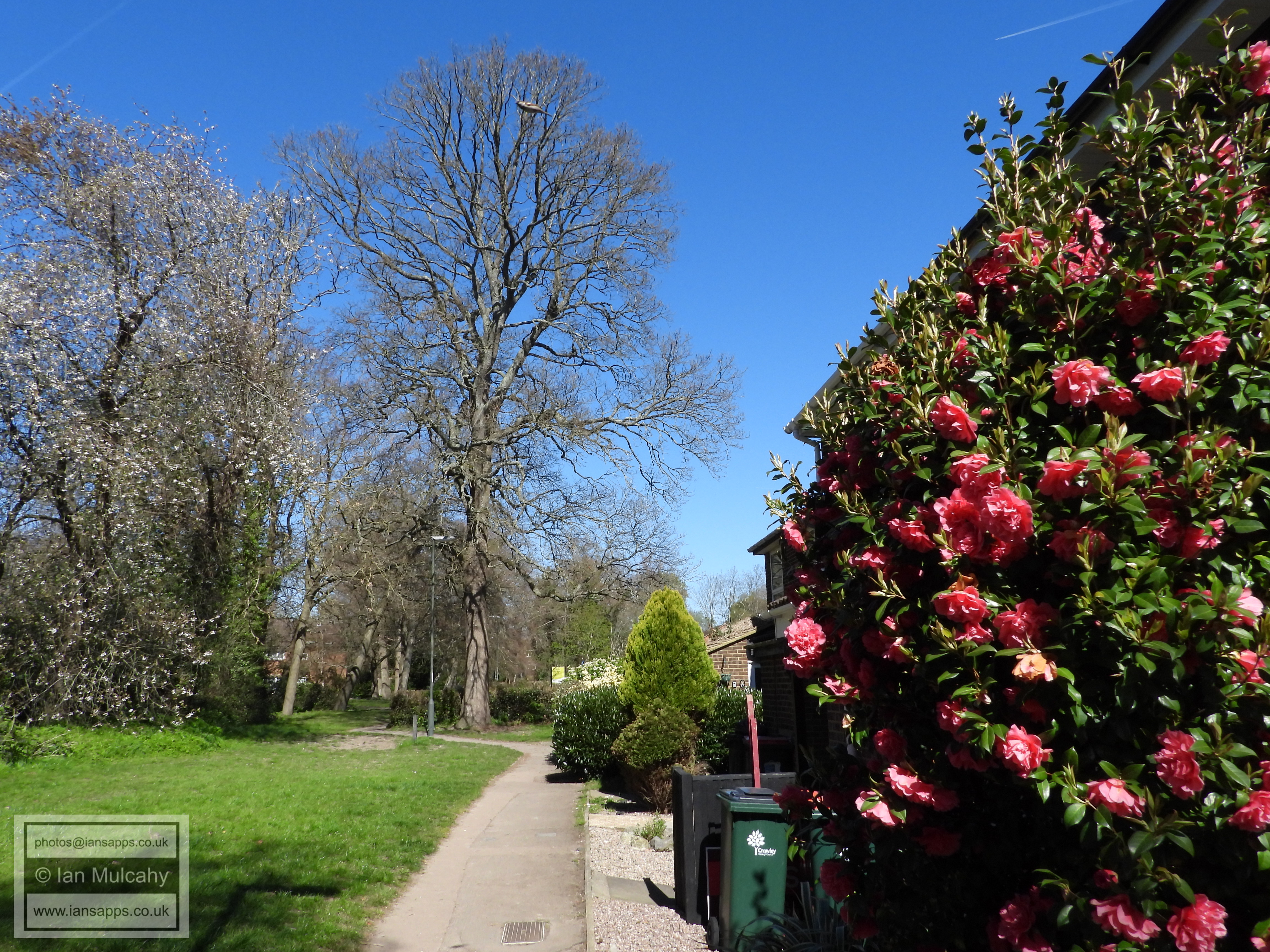
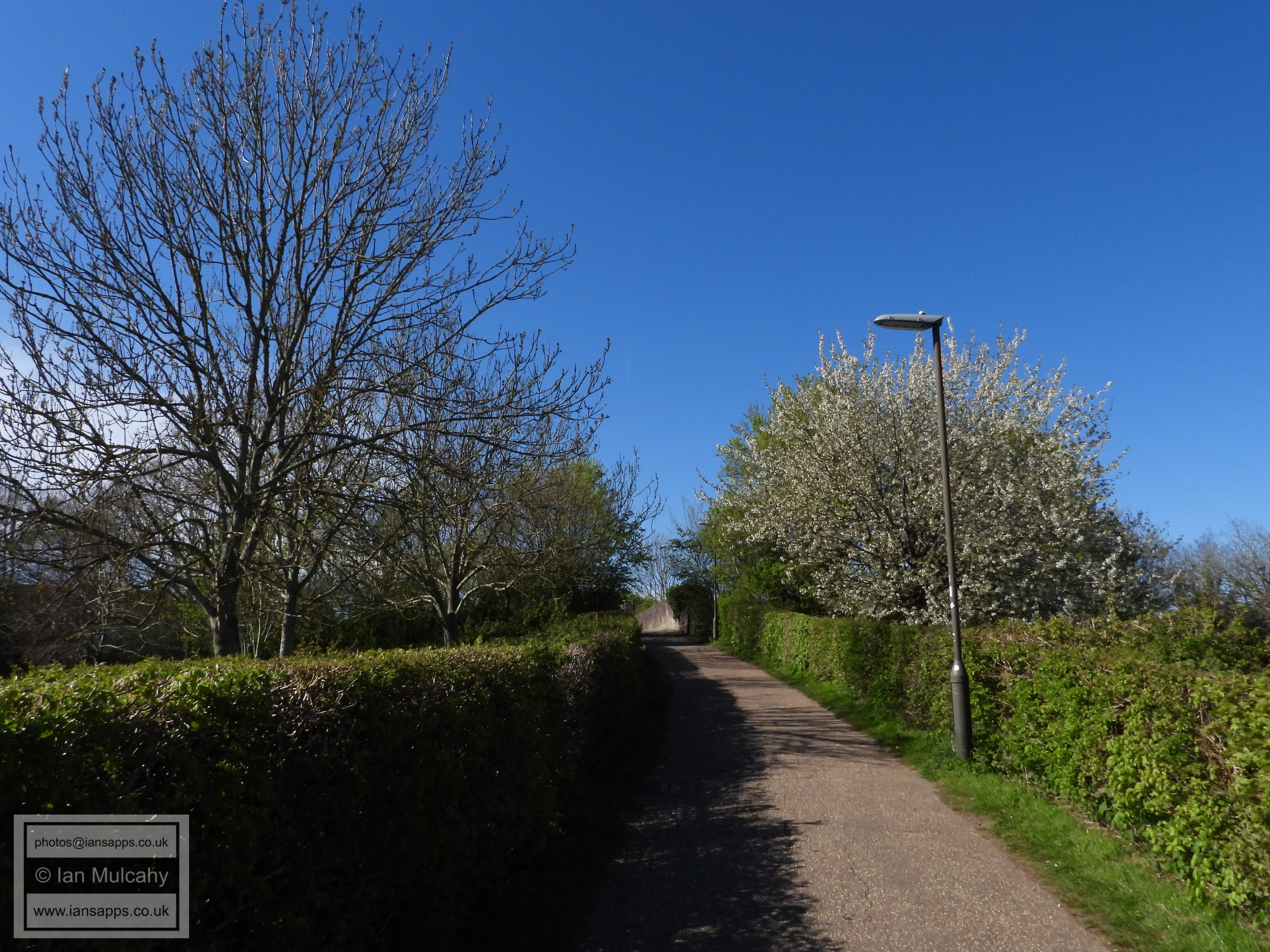
A berry laden holly bush in Green Lane. Does anyone else think this should really be in the nearby Hollybush Road?
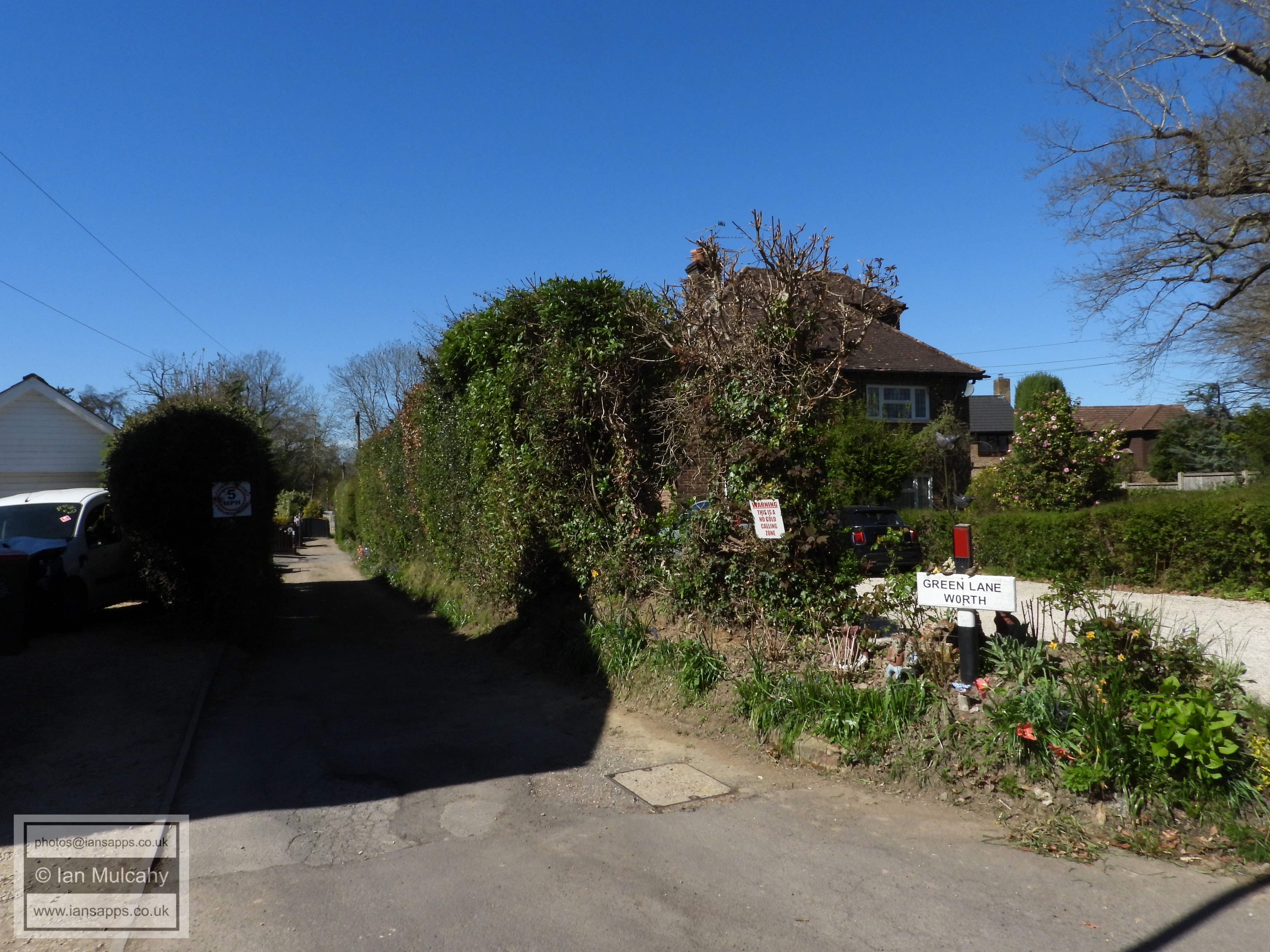
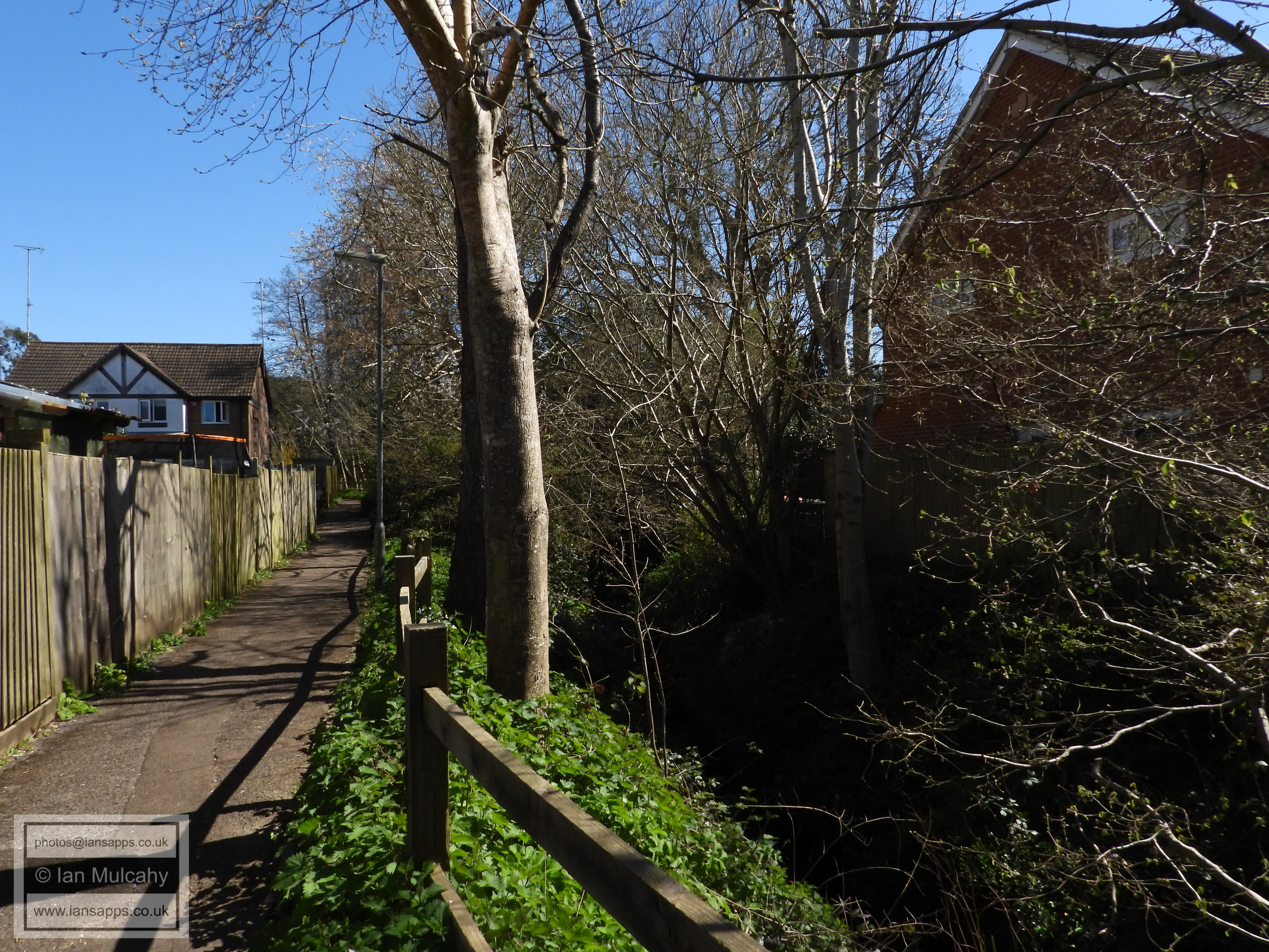
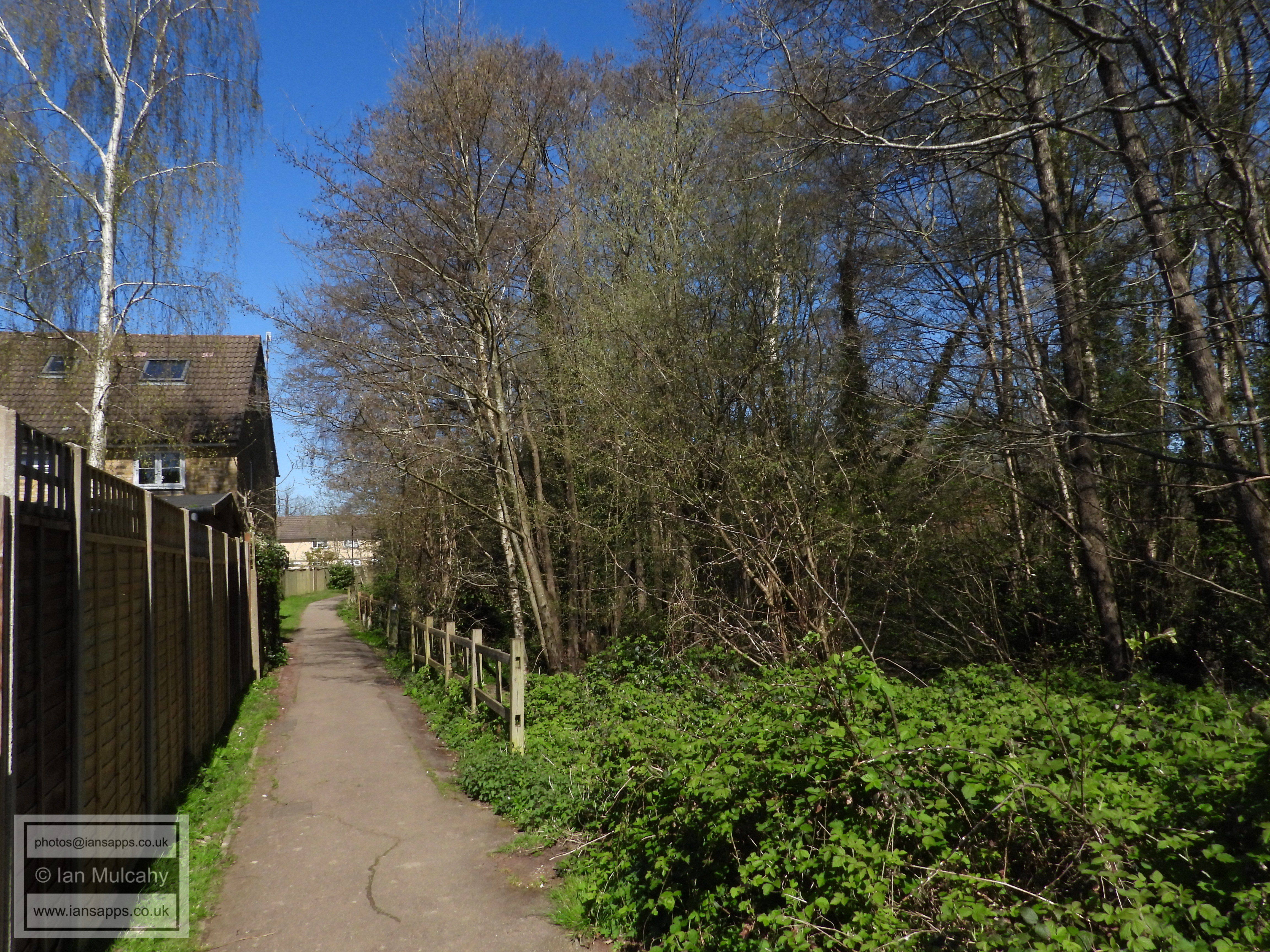
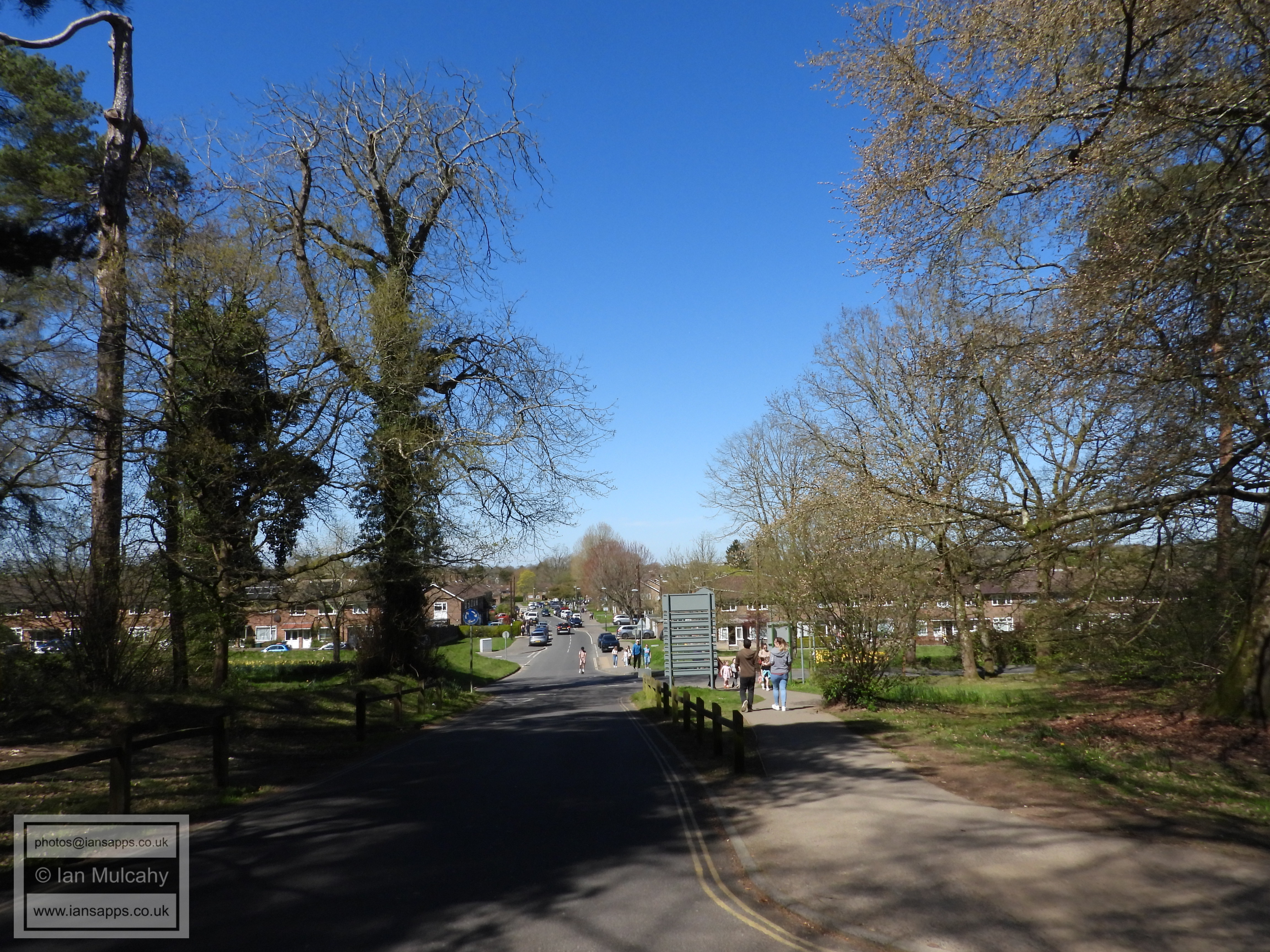
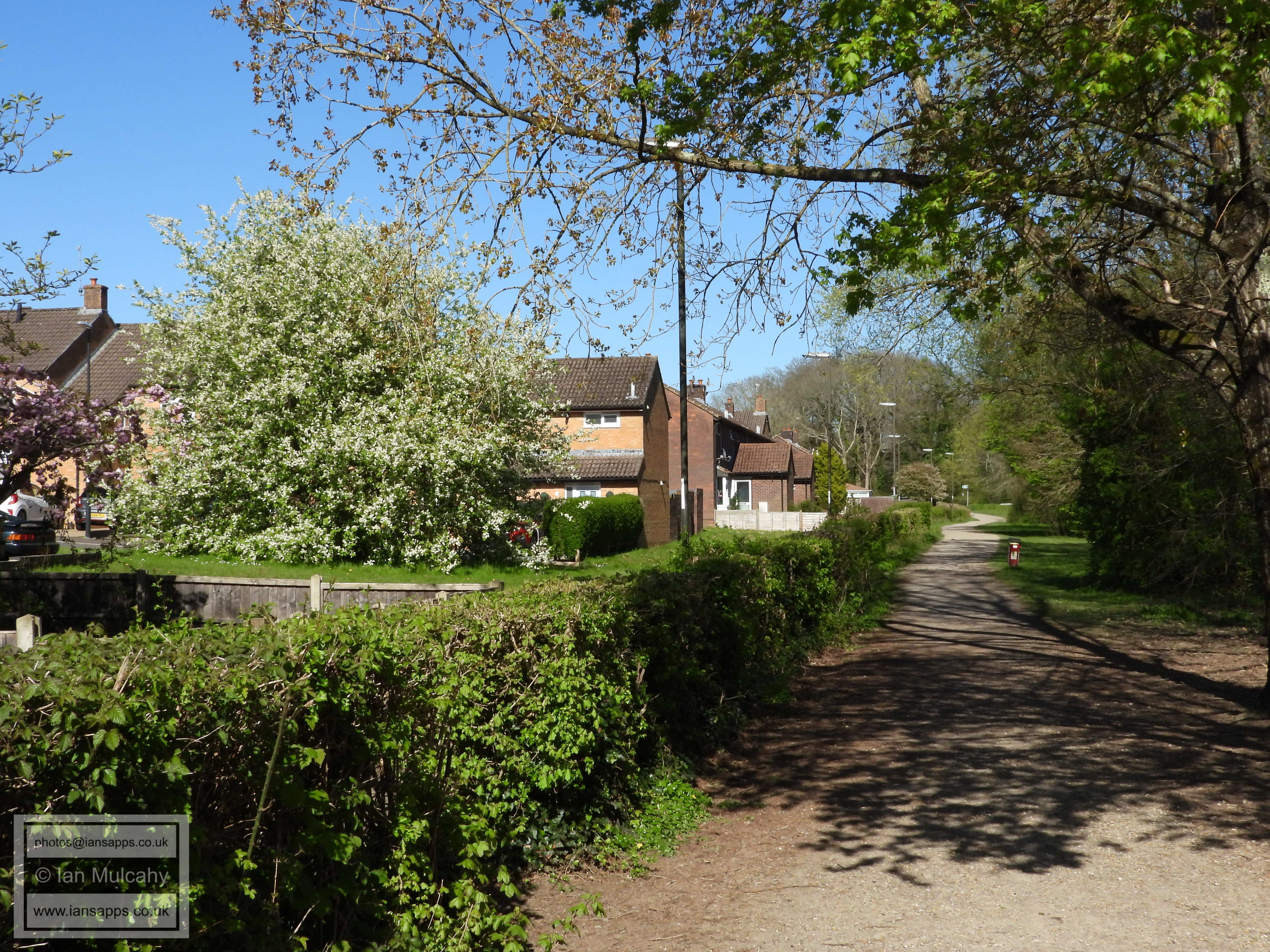
Green Lane
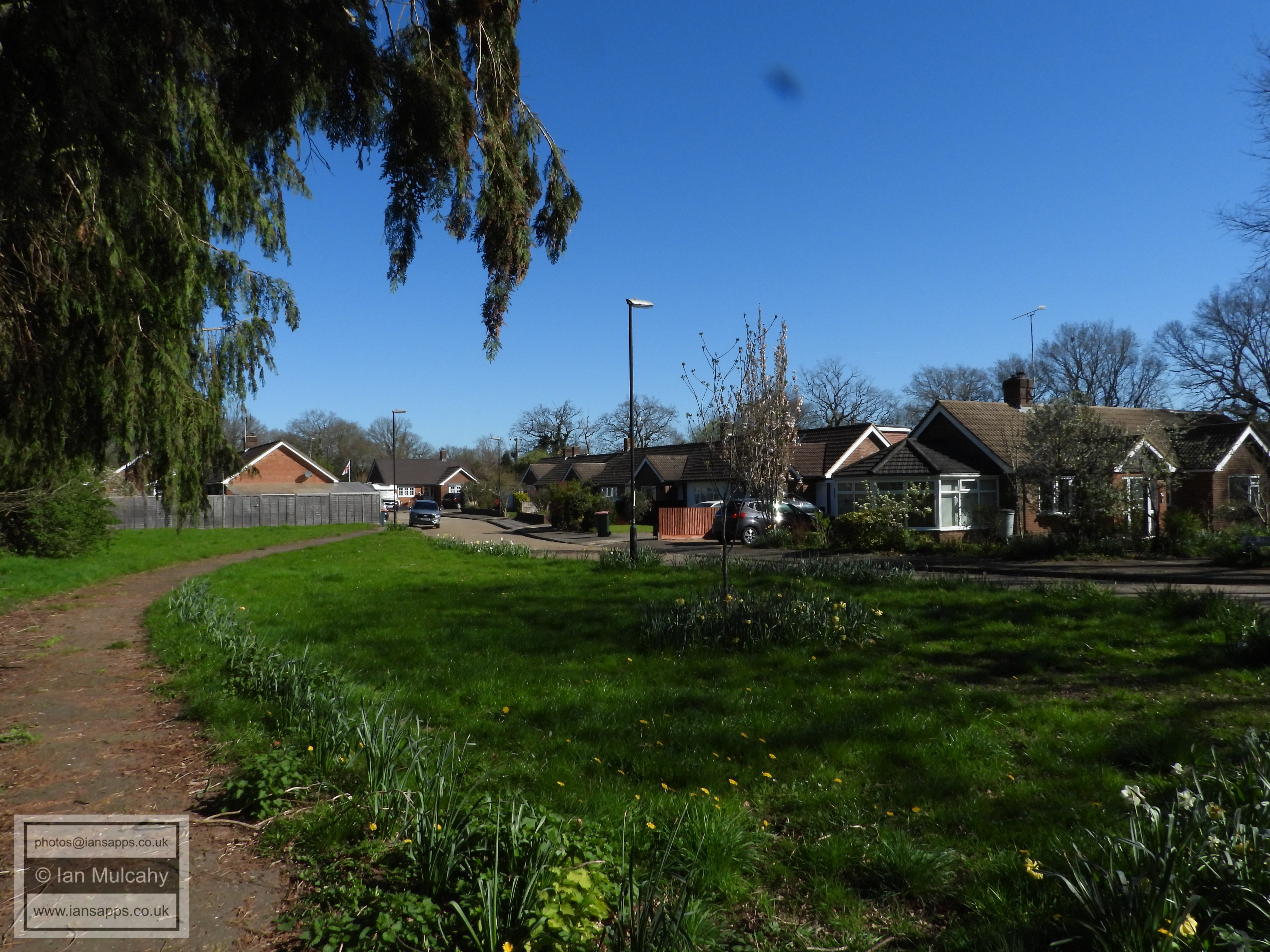
Woodfield road and Green Lane junction. Notice how a large area of the public grass area to the right has been mown and kept tidy by a community minded resident. This used to be a regular thing in Crawley not that long ago, but pride in our town, and in many cases in our own gardens, seems to have been lost in recent years.
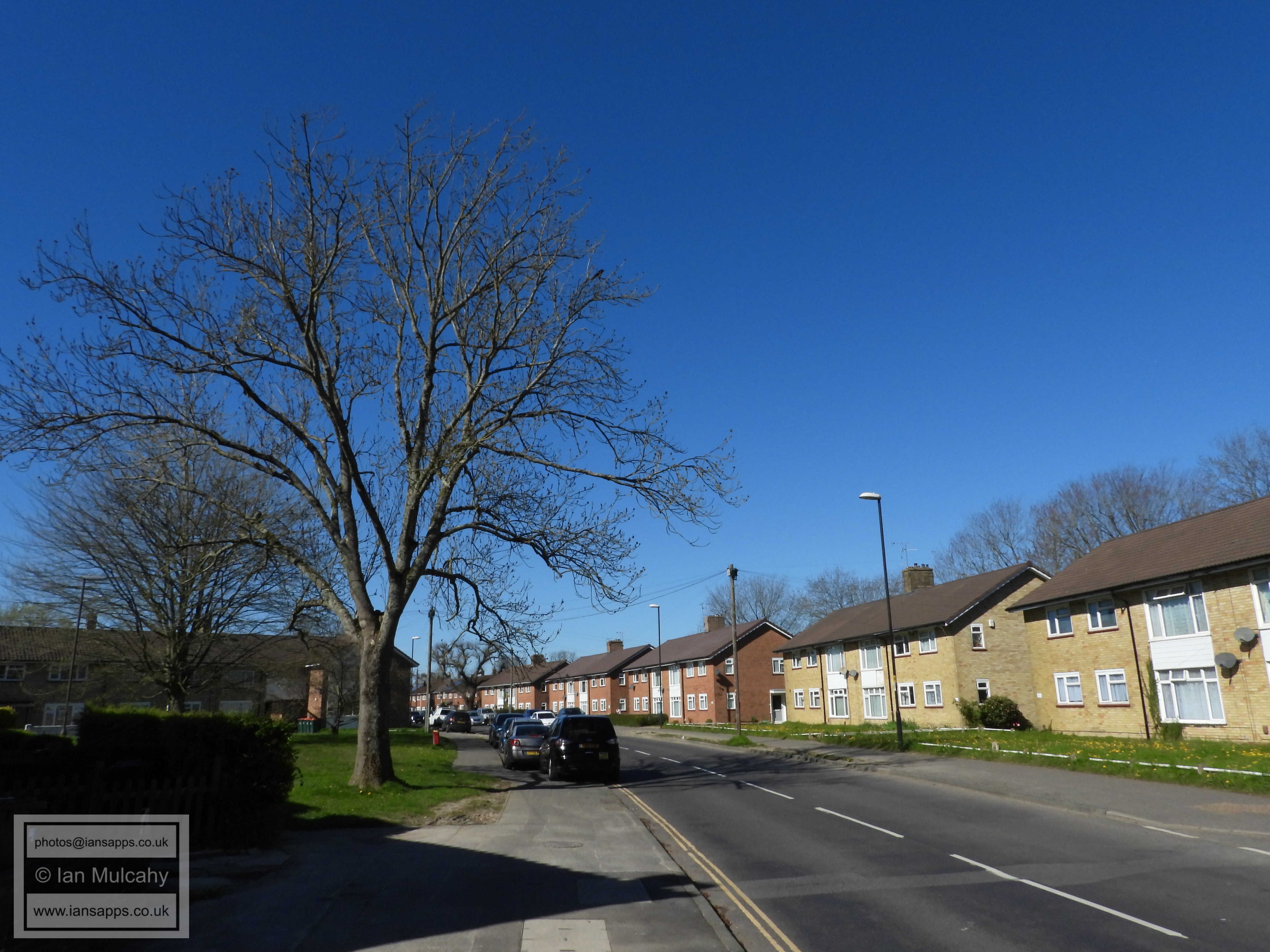
Woodfield Road
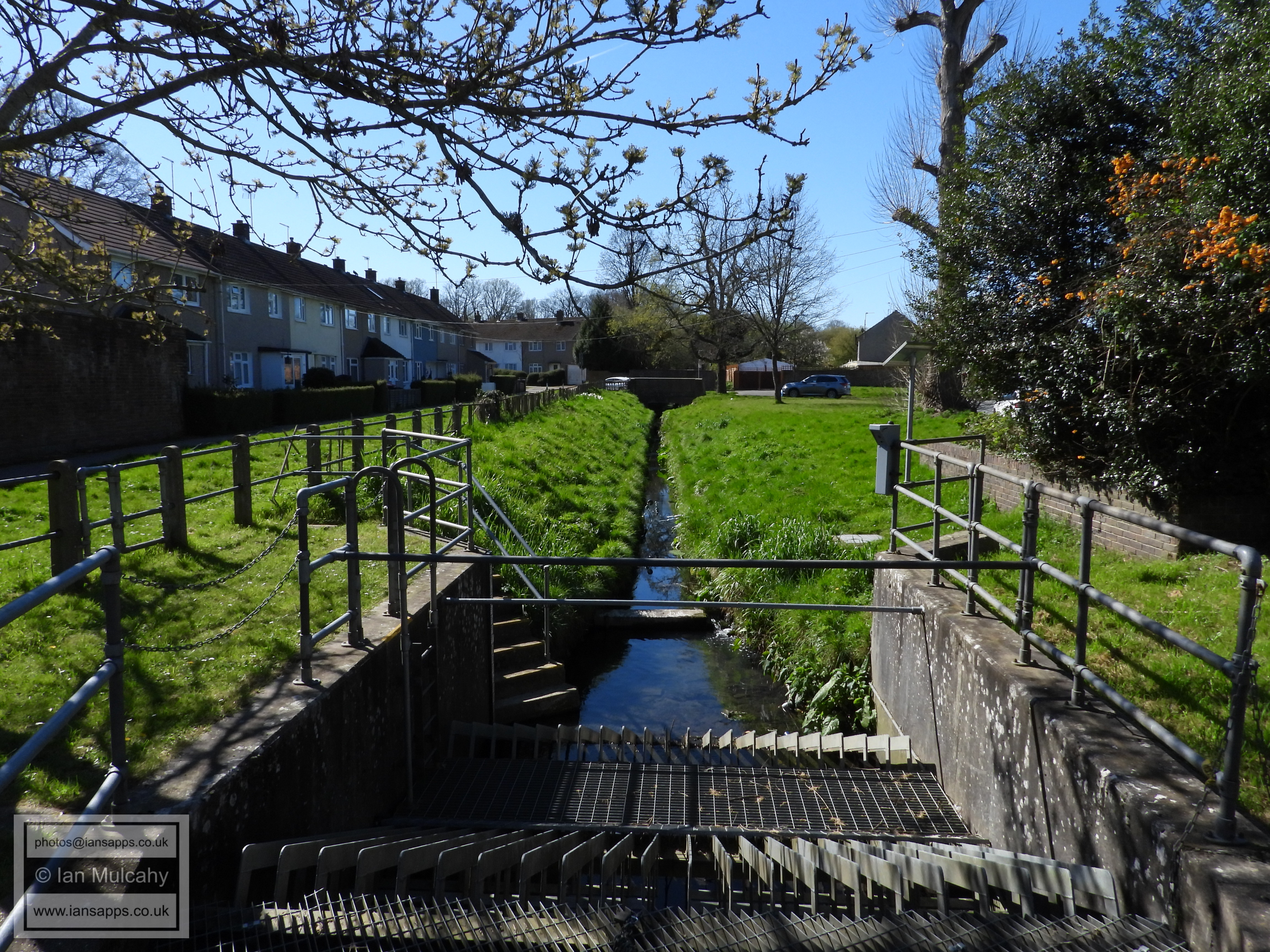
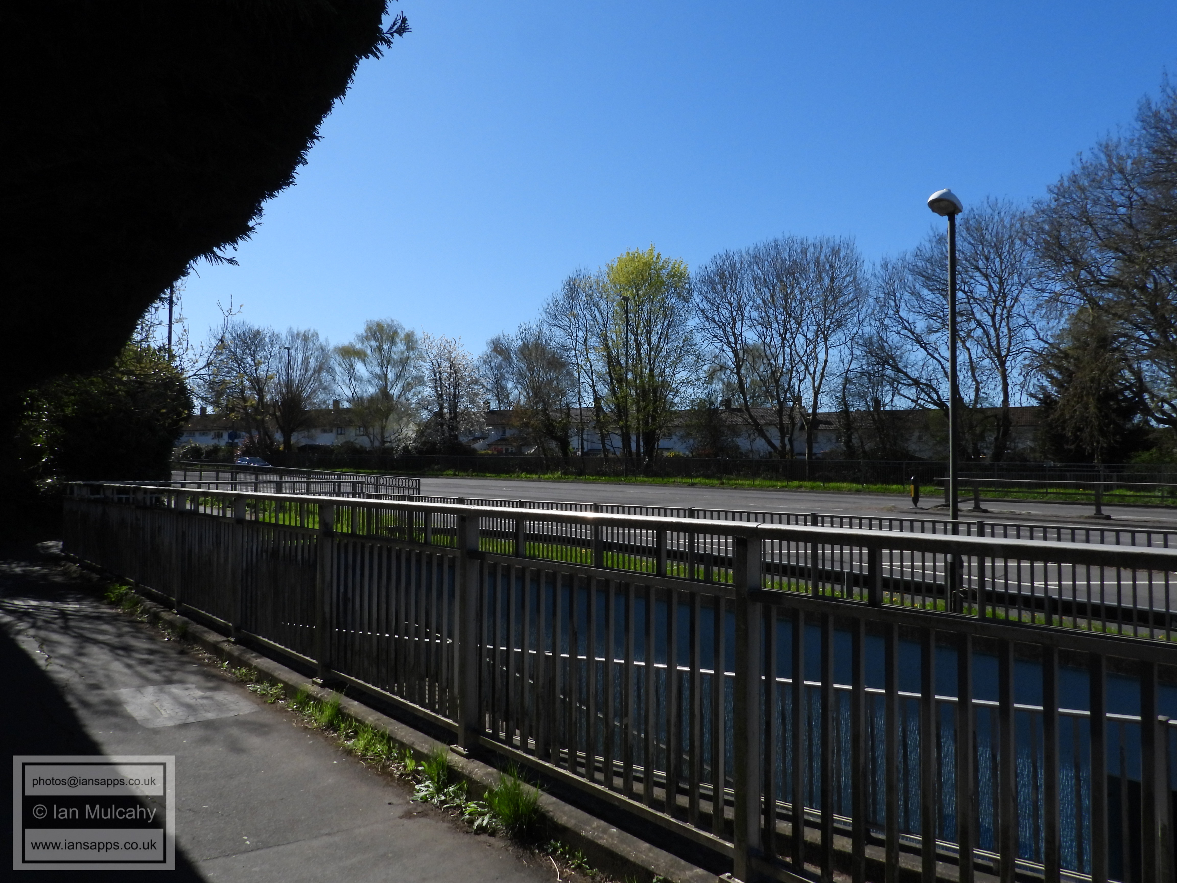
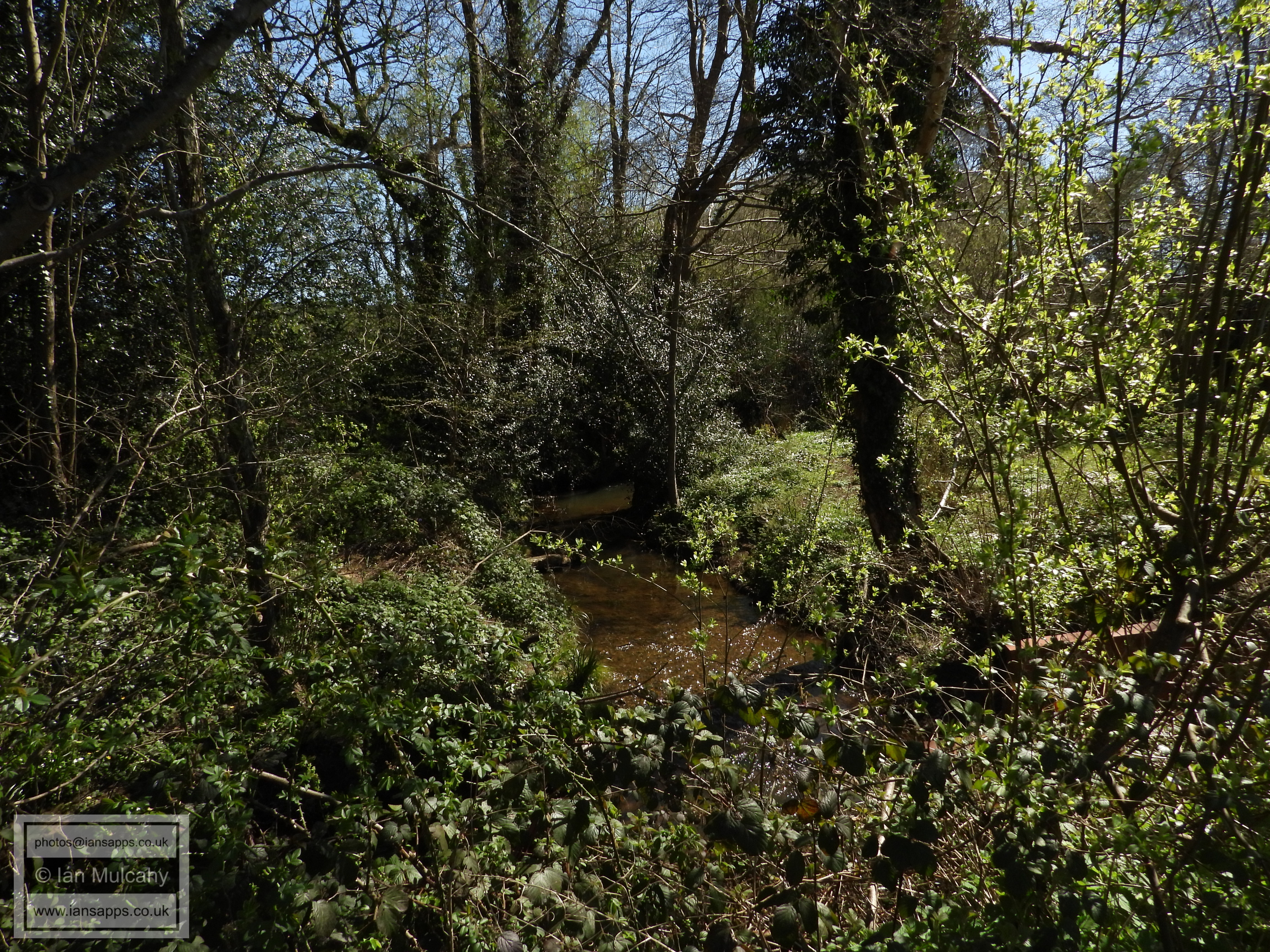
Crawters Brook looking south from Woodfield Road
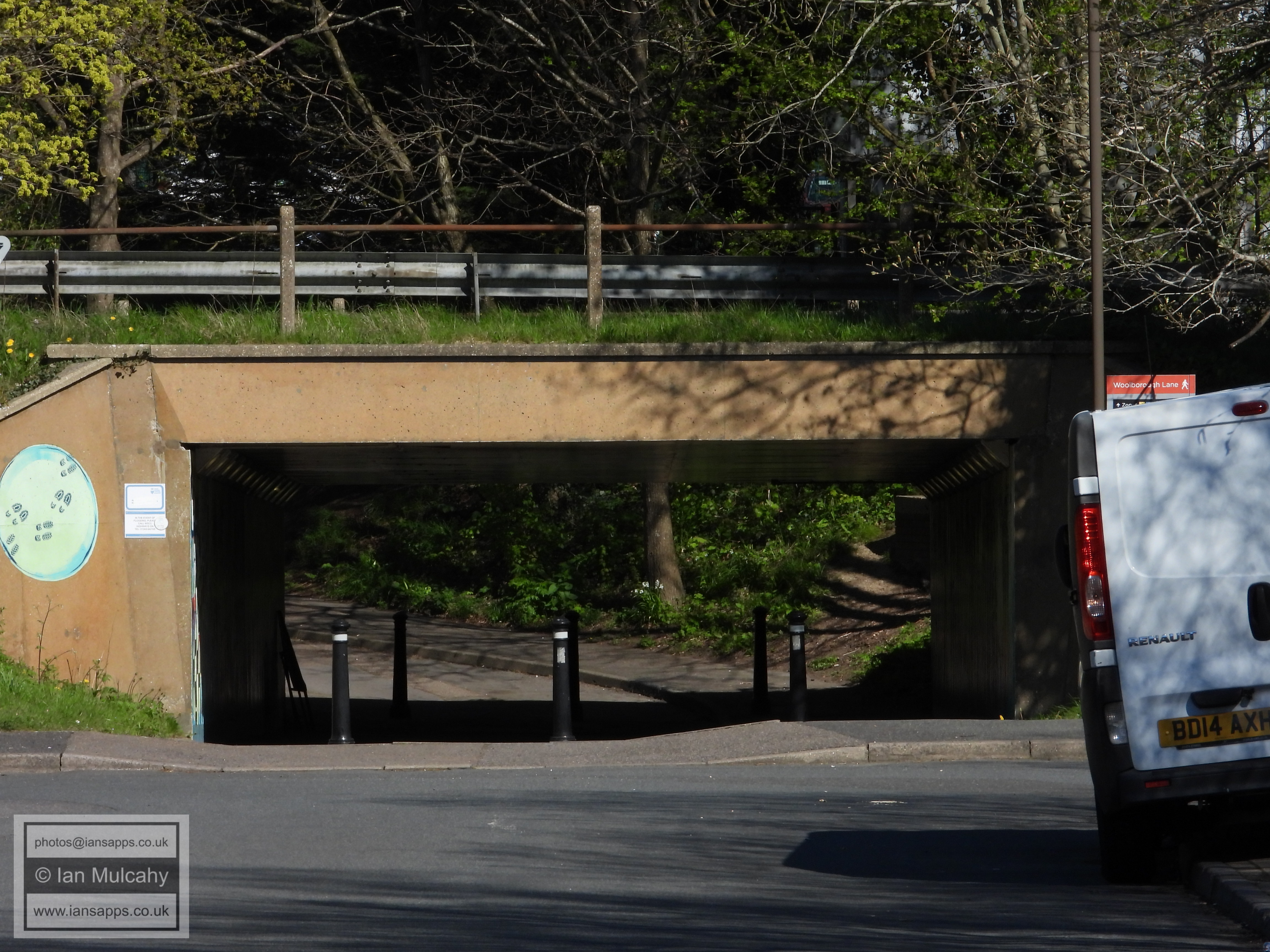
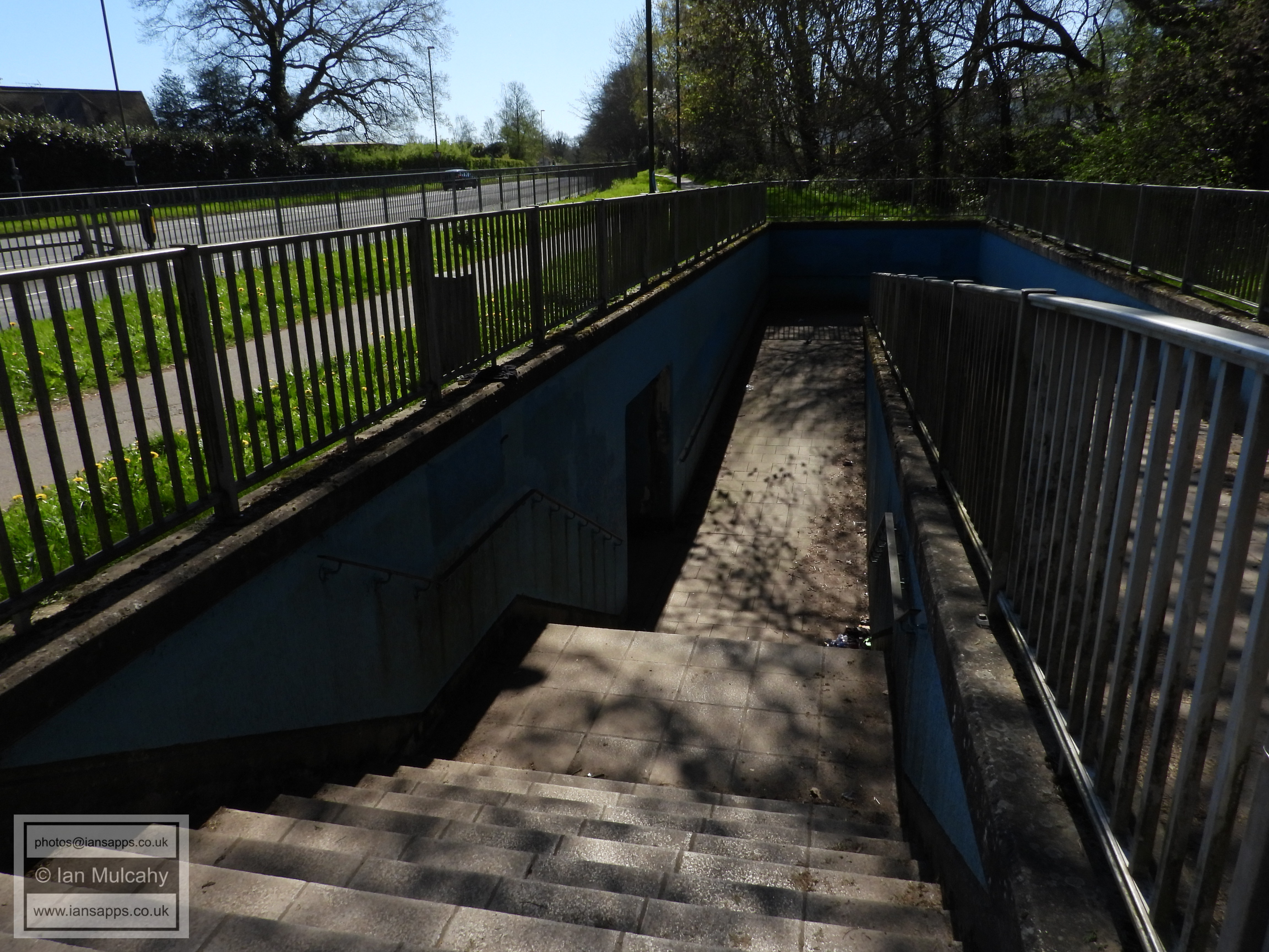
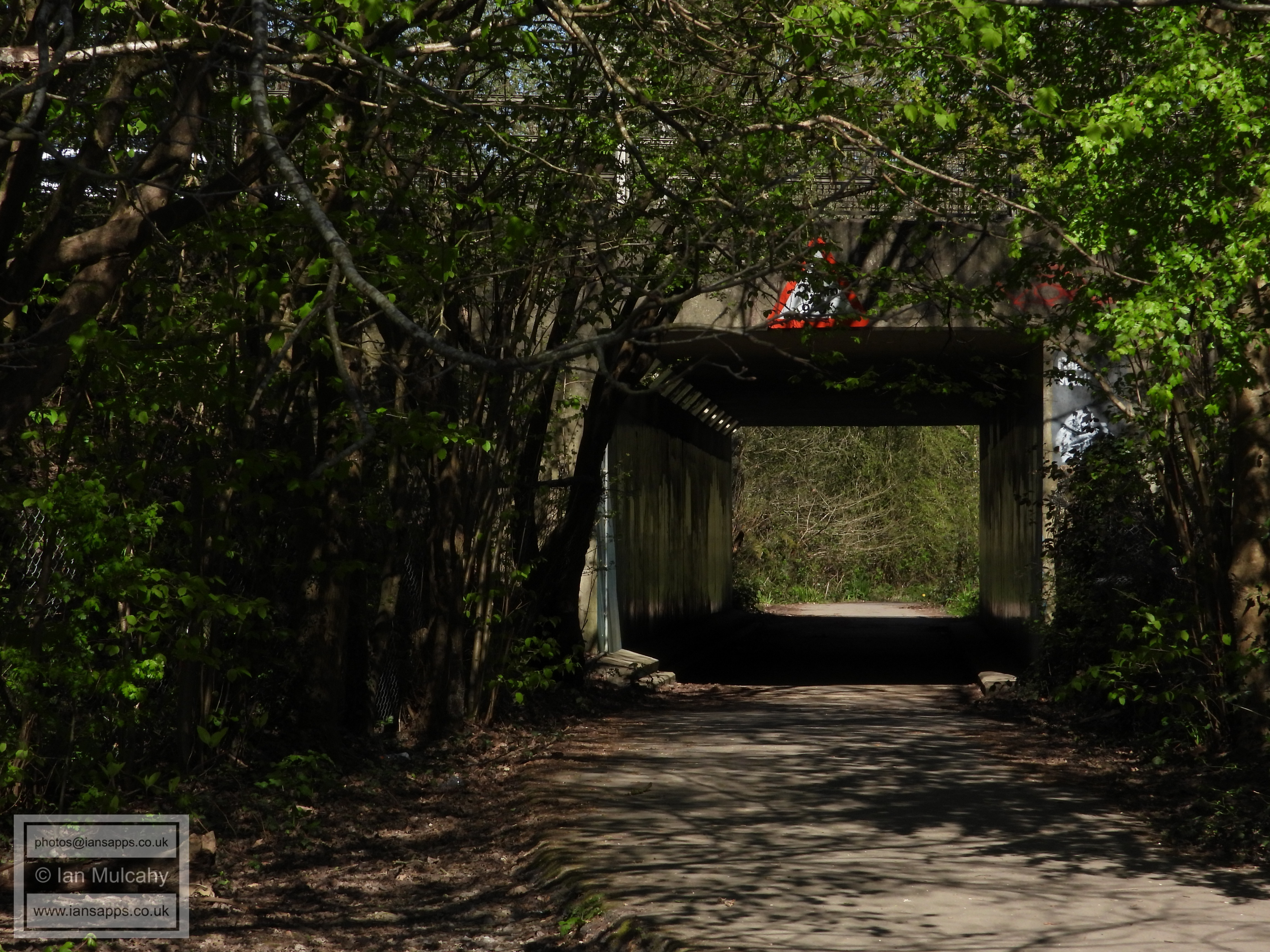
Woolborough Lane subway under Crawley Avenue
The pathway linking Woodfield Road and the Northgate Avenue light controlled crossing
The rear of Cloverlands in Northgate
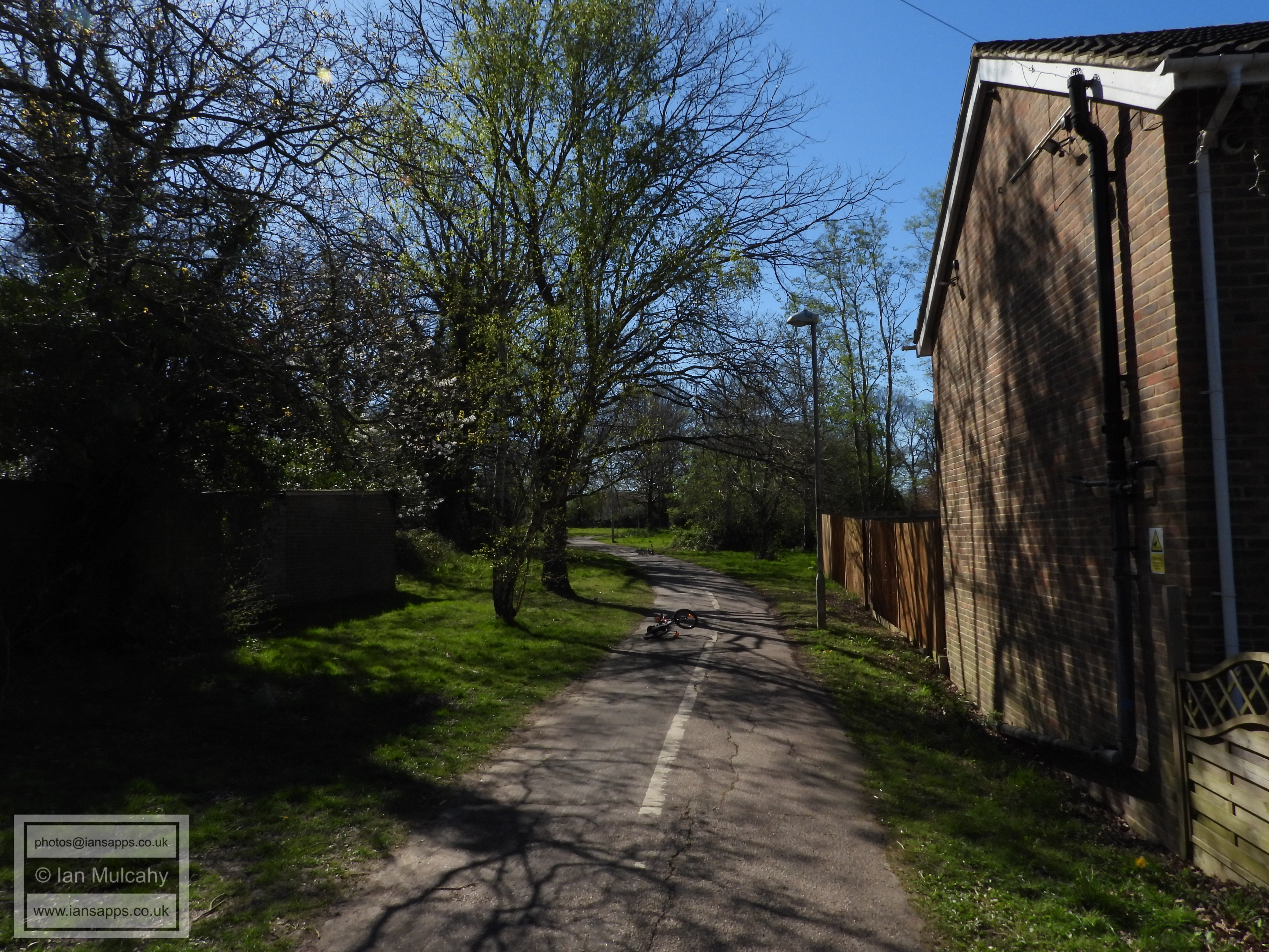
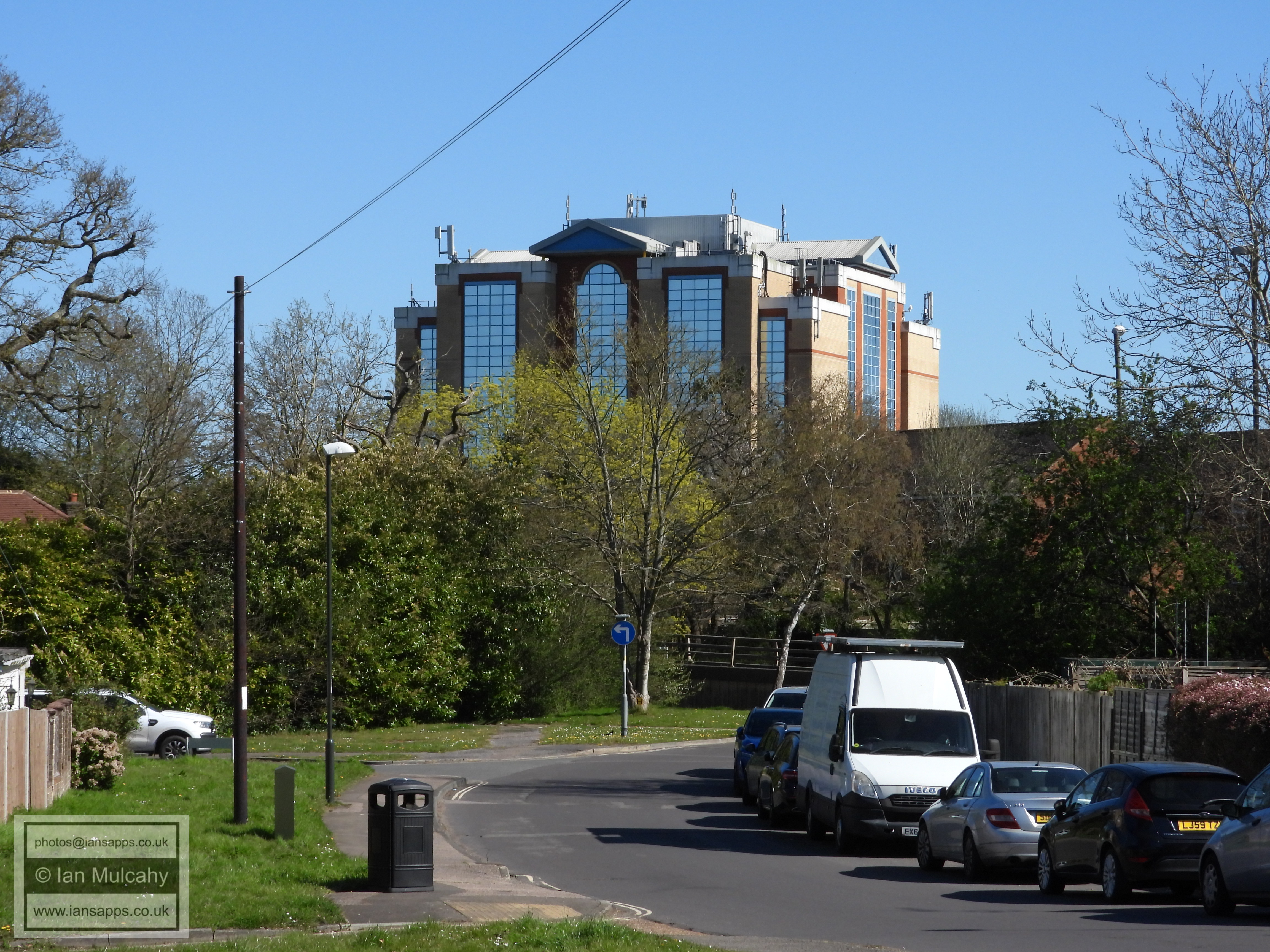
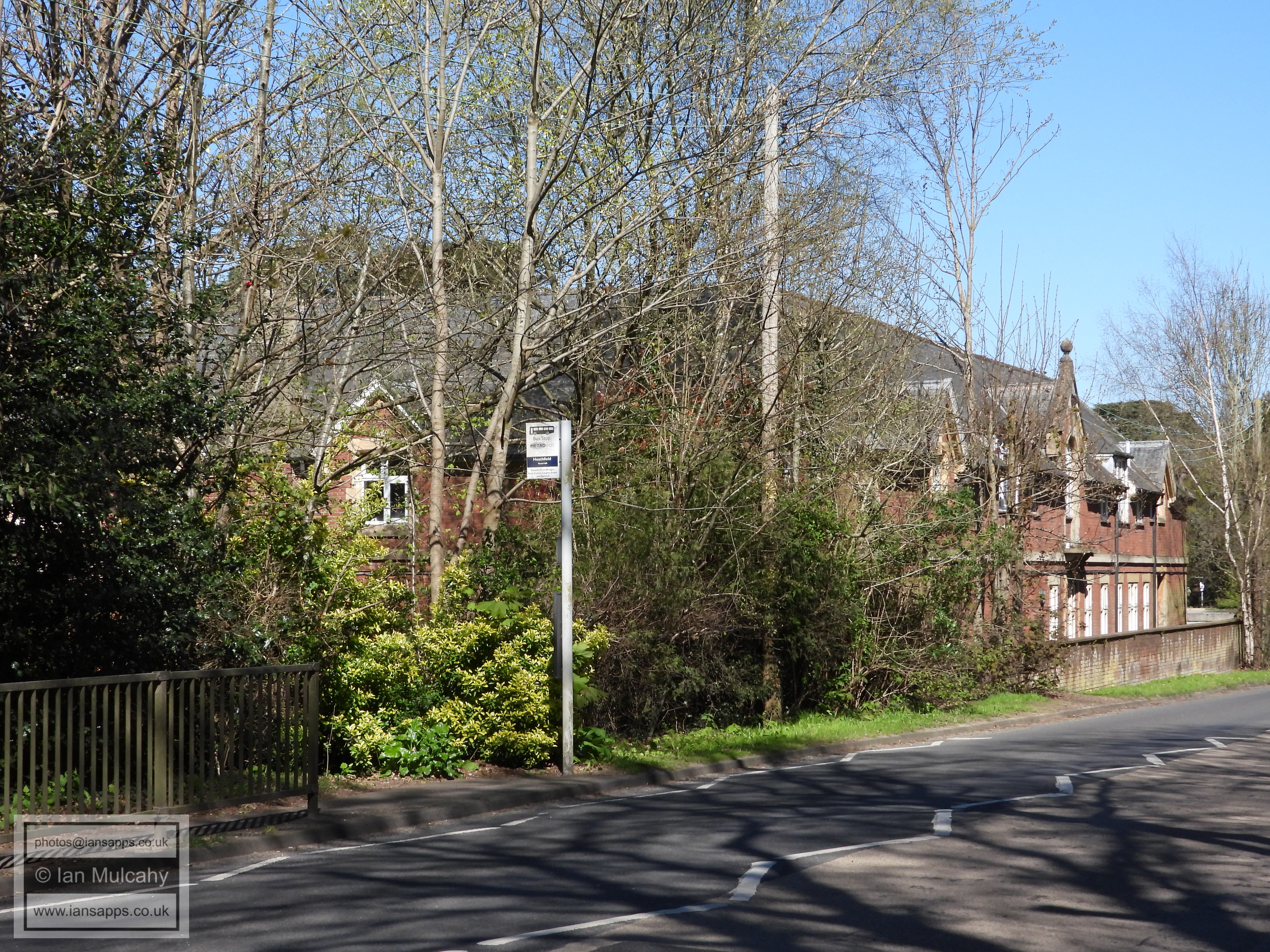
Looking along North Road to the Sandman Hotel and Hazelwick Flyover
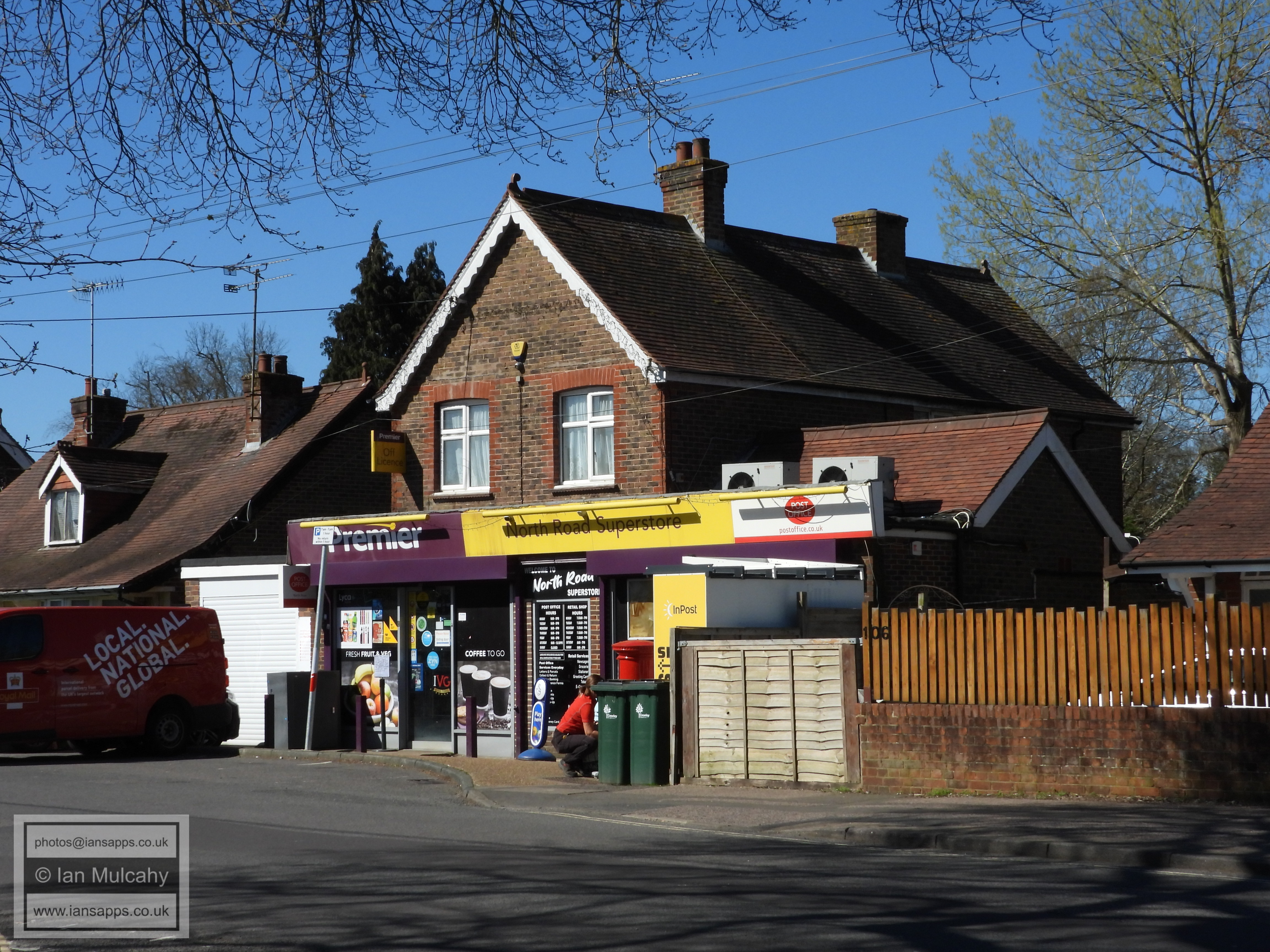
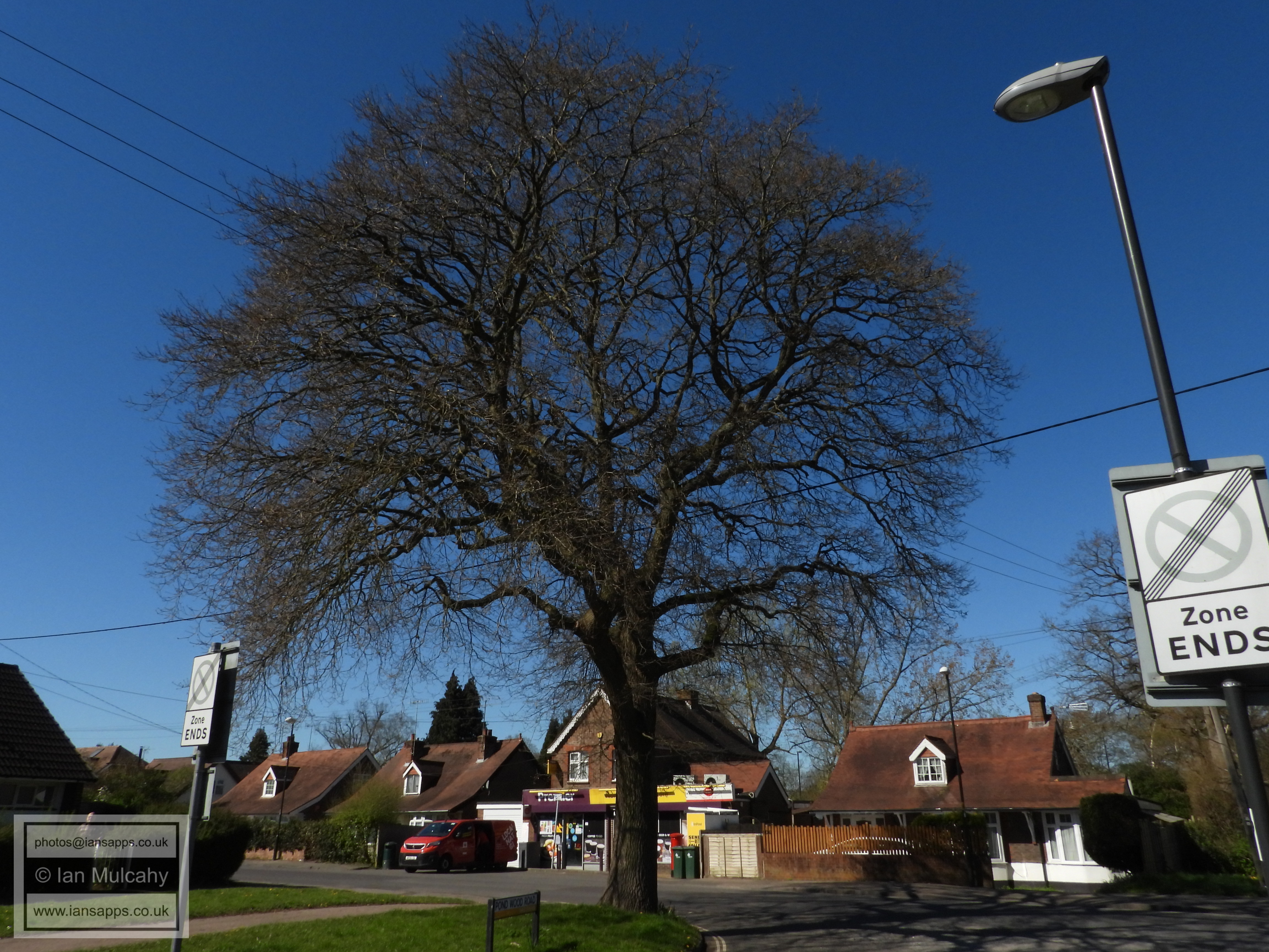
North Road 'Superstore'.
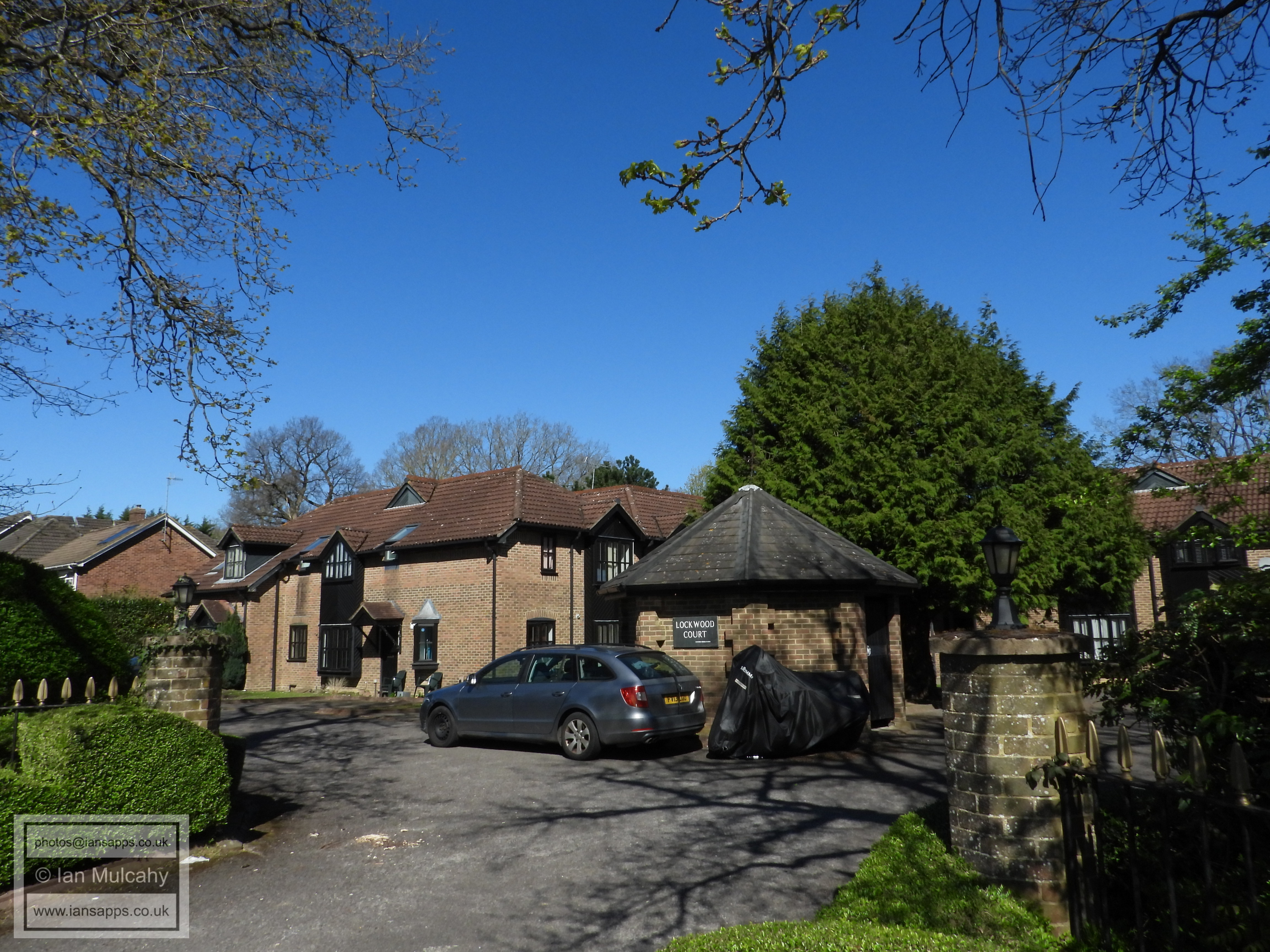
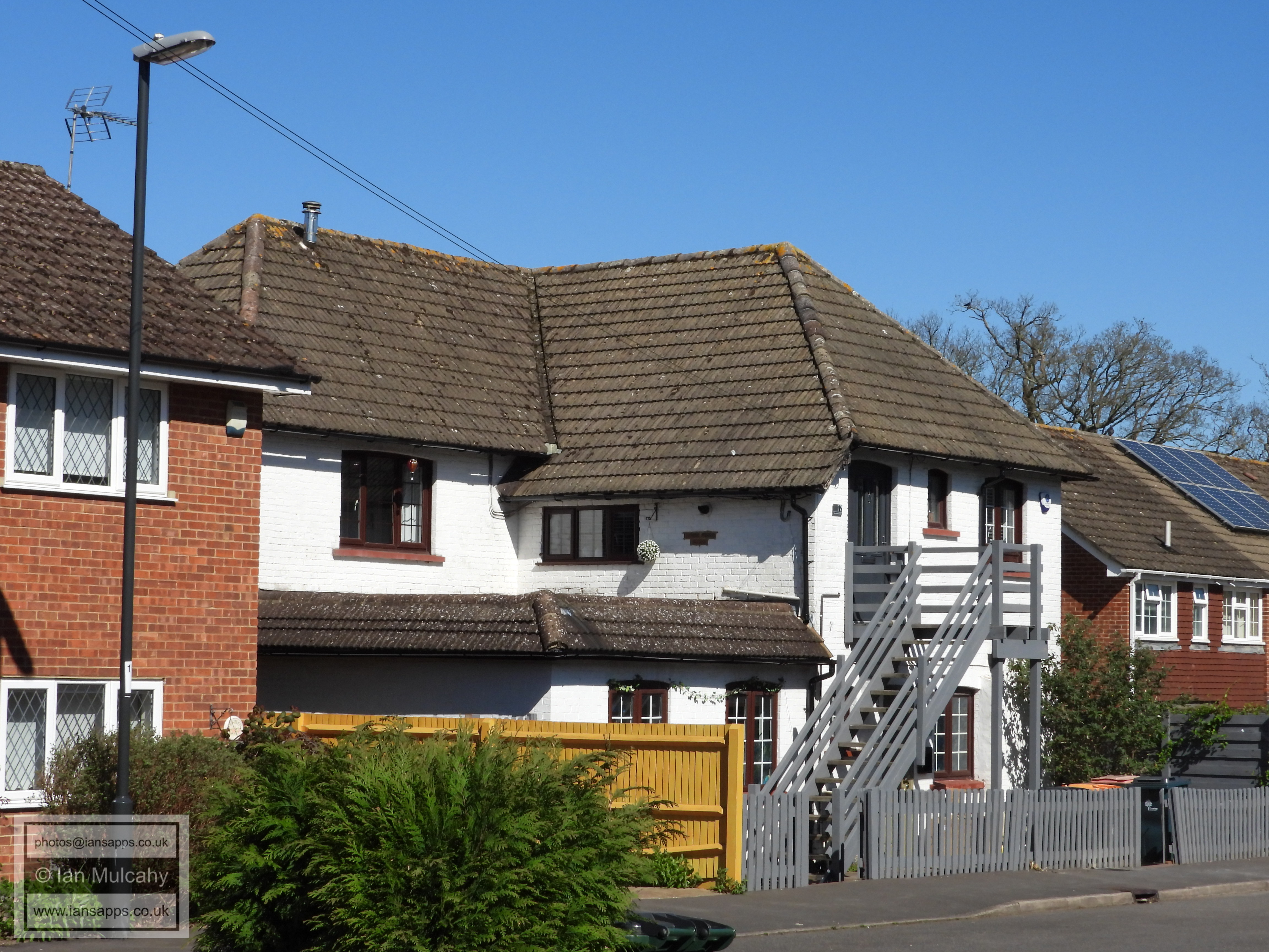
A (much extended) pre-new town survivor in Woodend Close, parts of which were appearing on maps by the 1870s.
The pathway to Hazelwick Subway
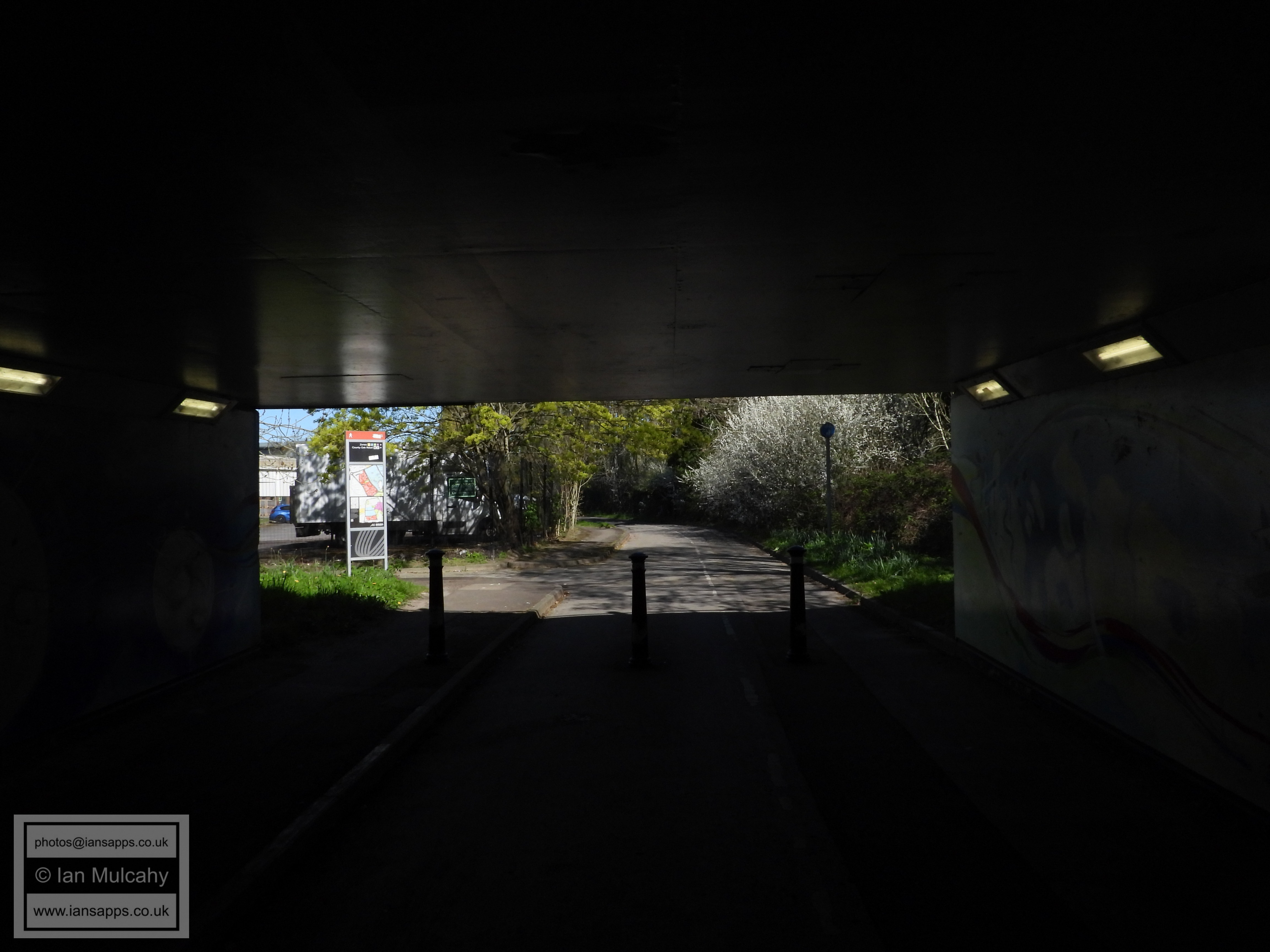
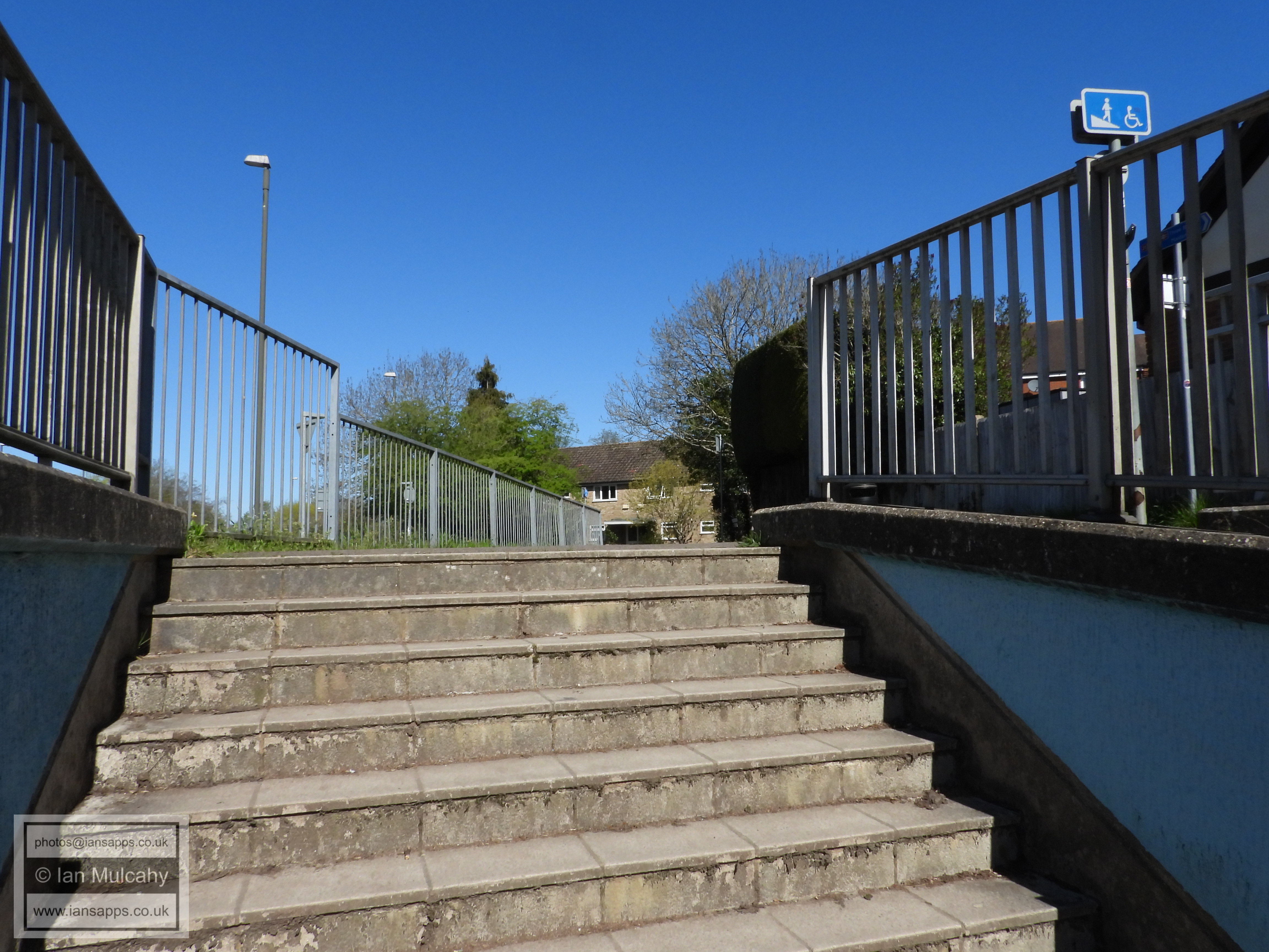
Hazelwick Subway
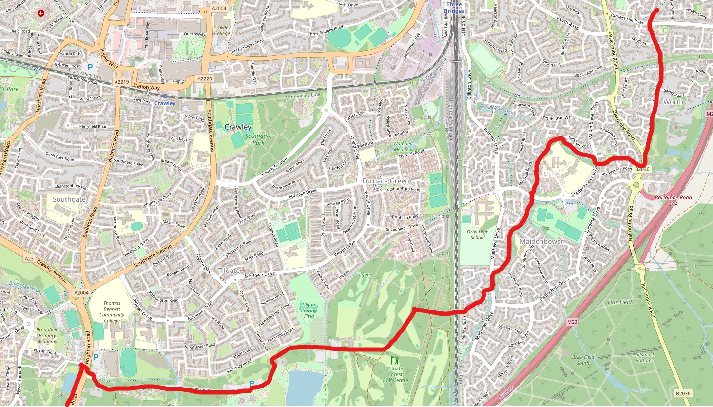
PART THREE - HAZELWICK TO WORTH
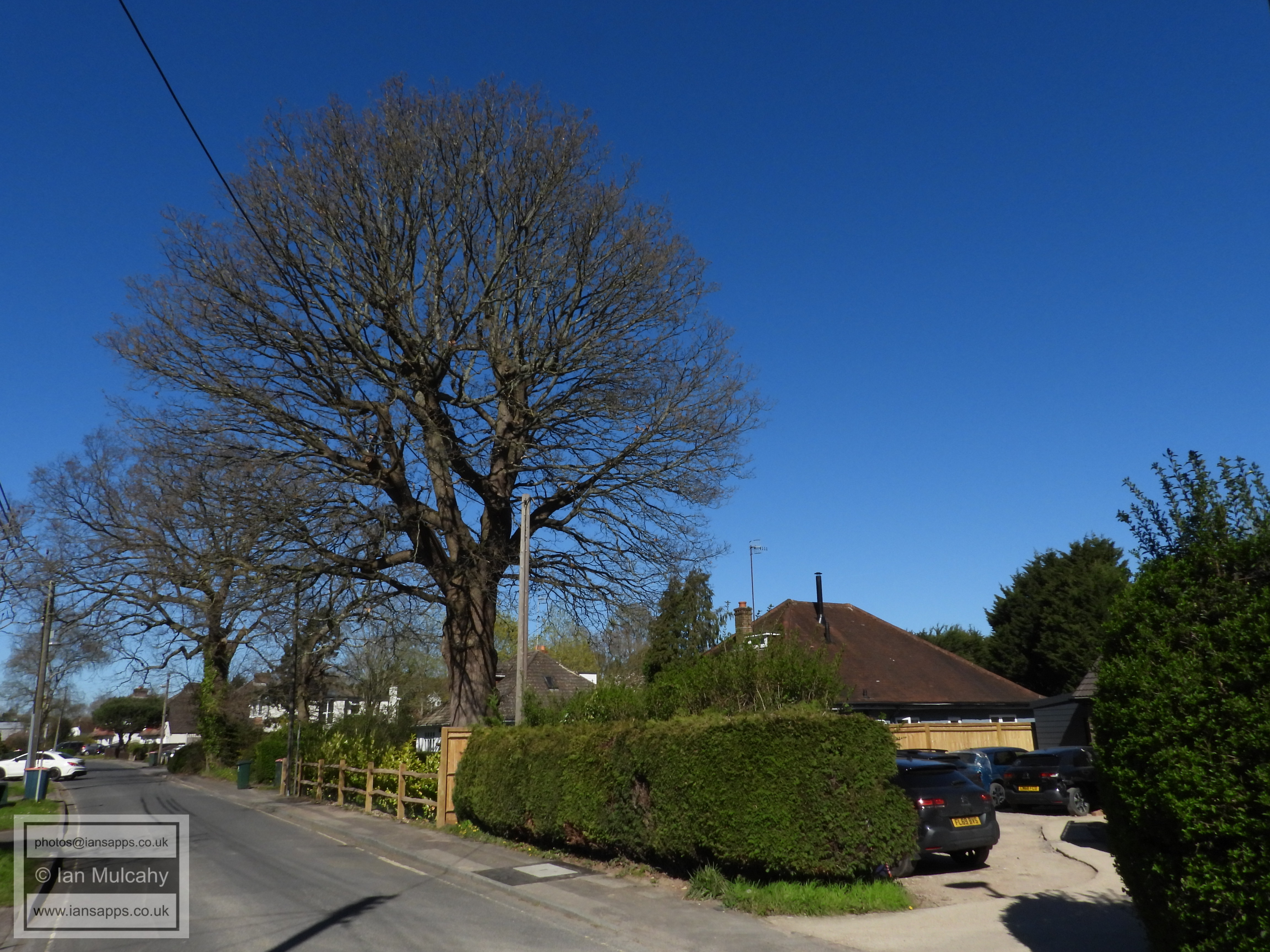
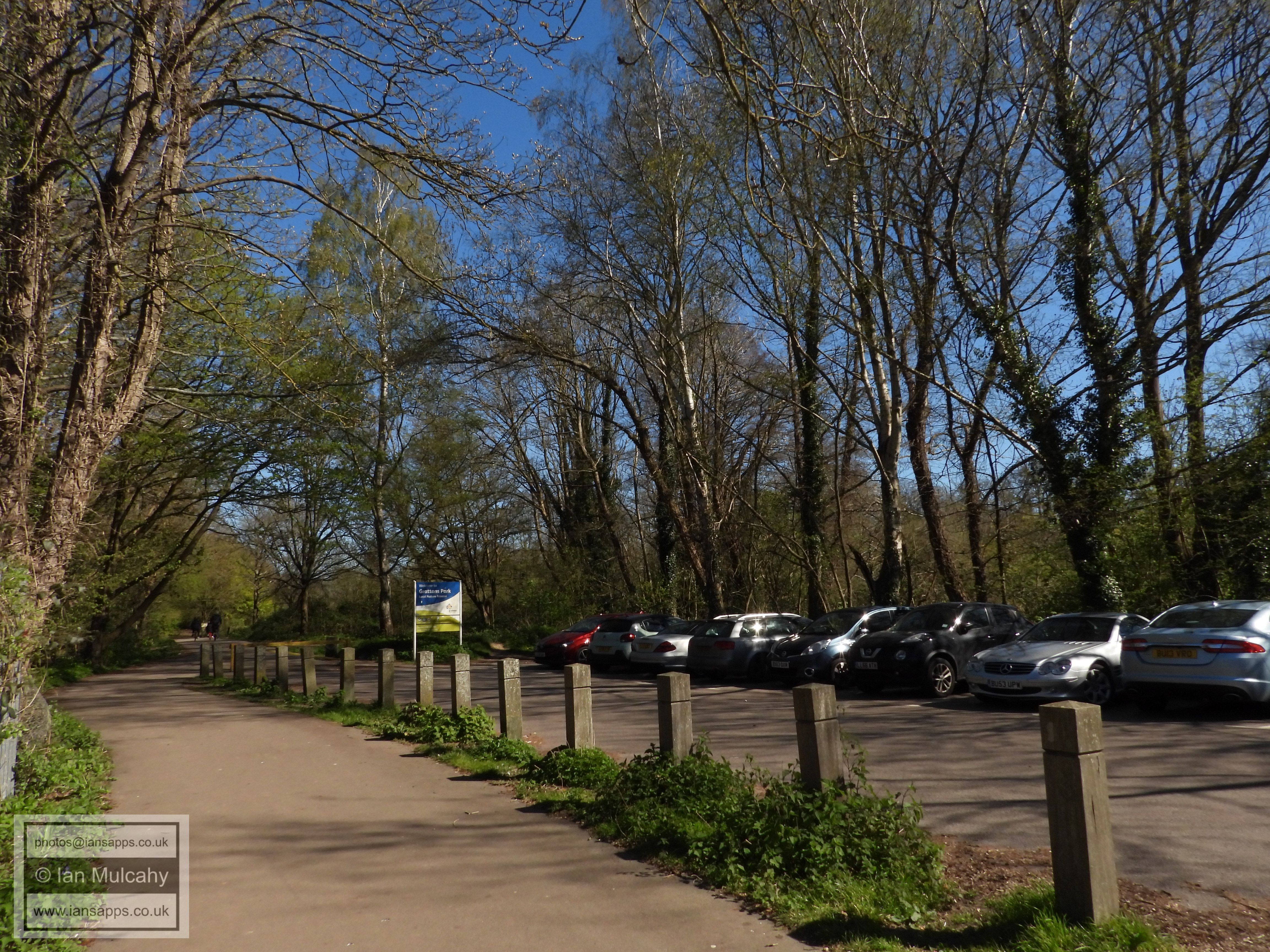
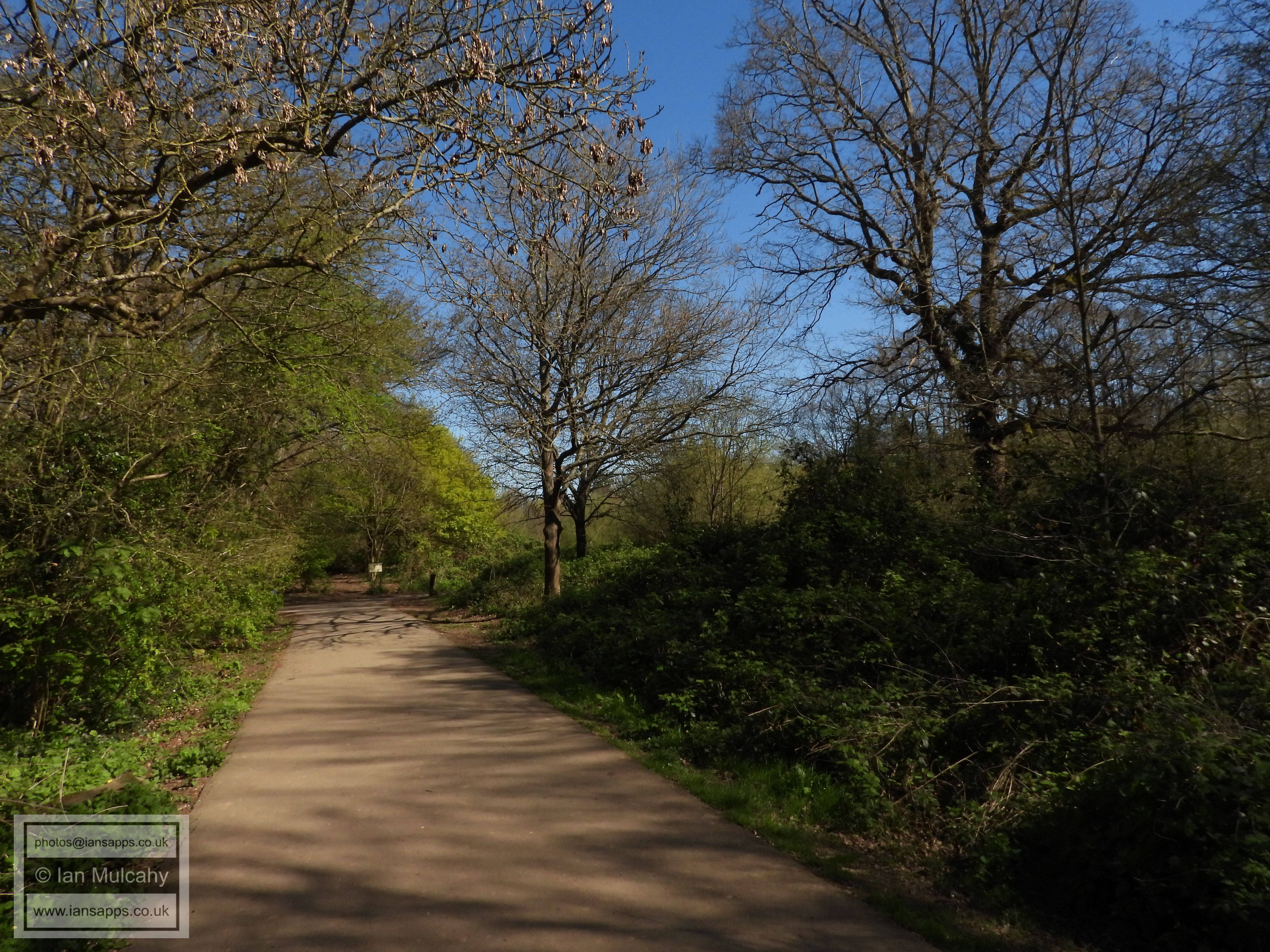
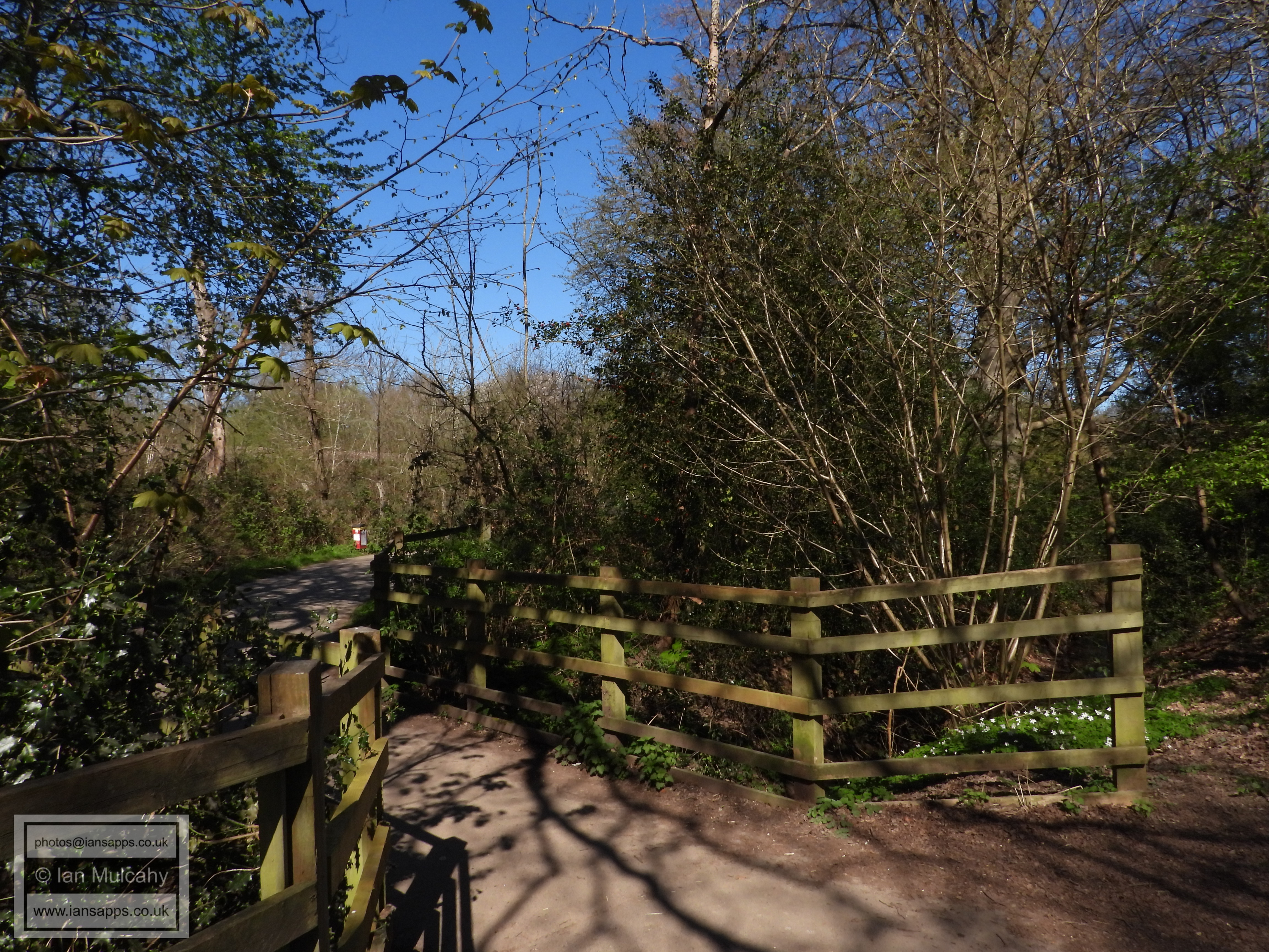
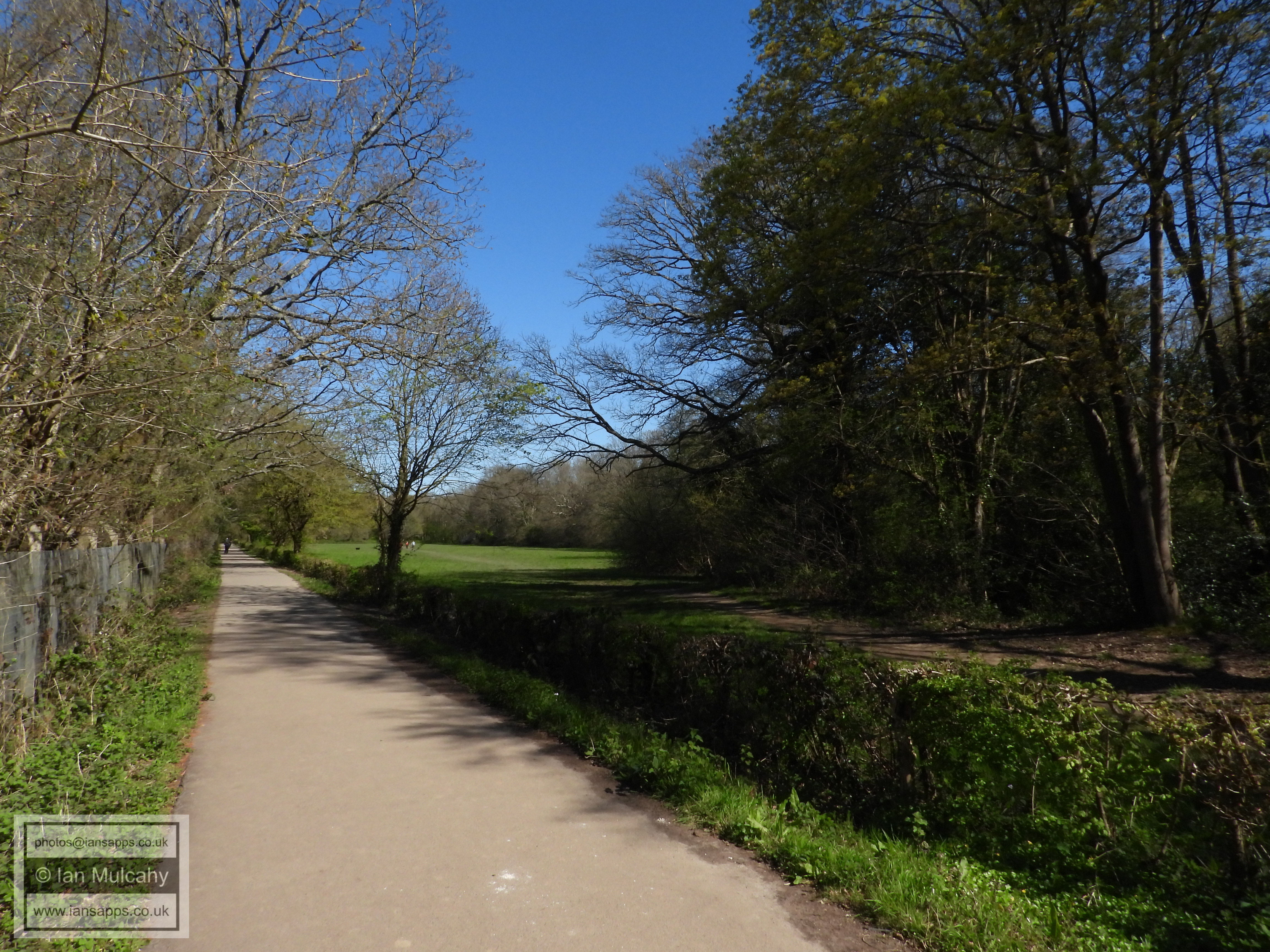
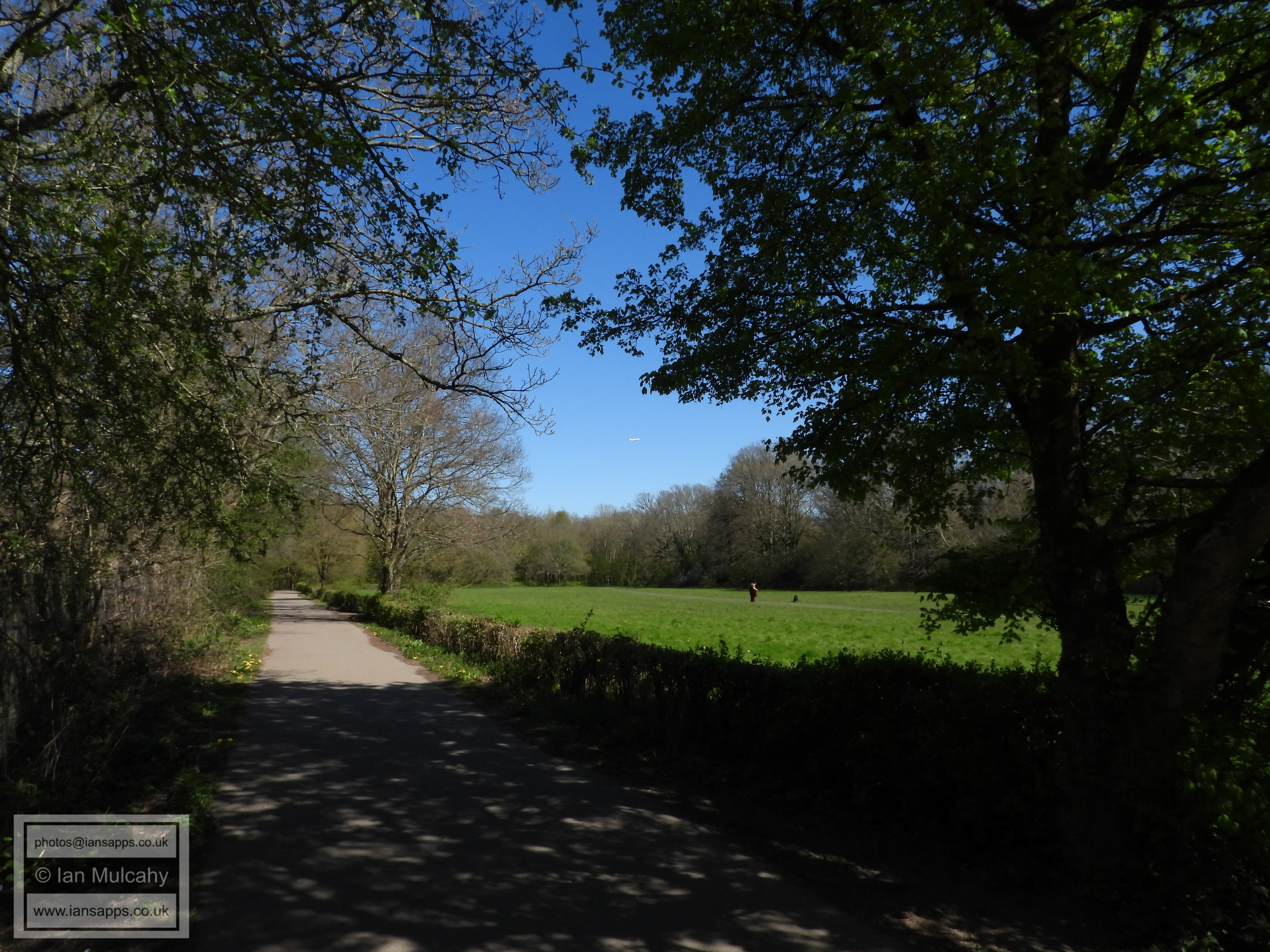
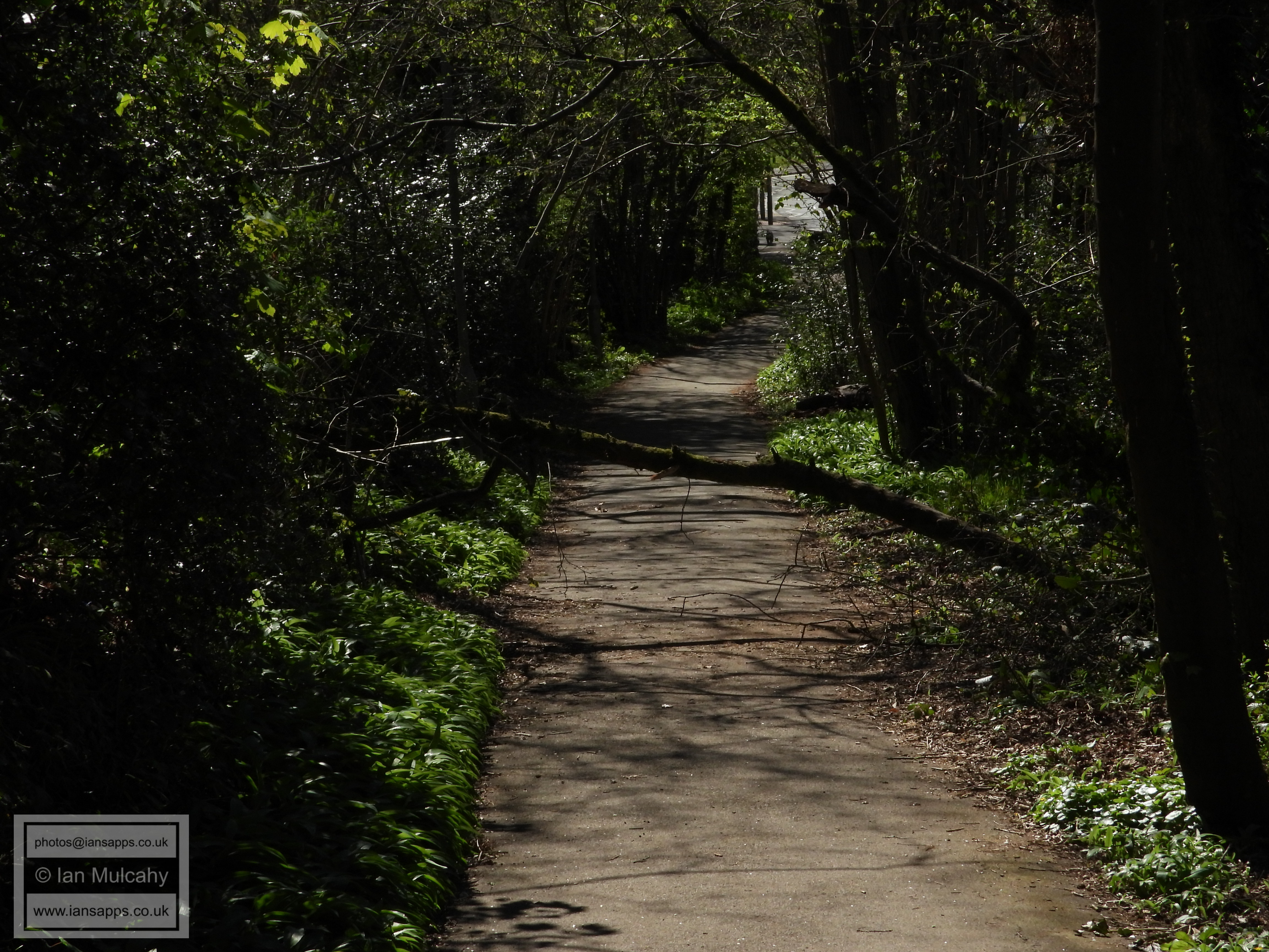
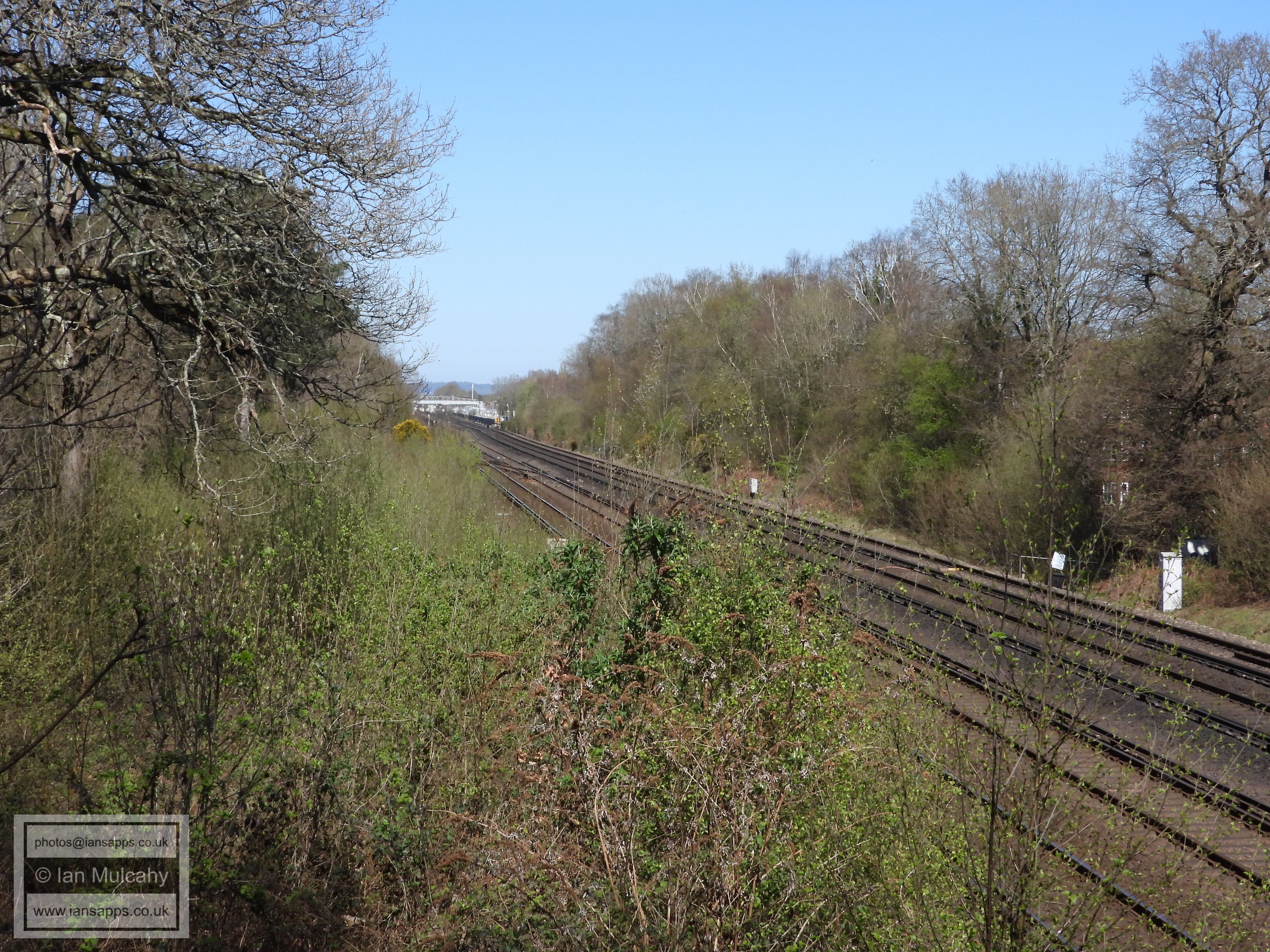
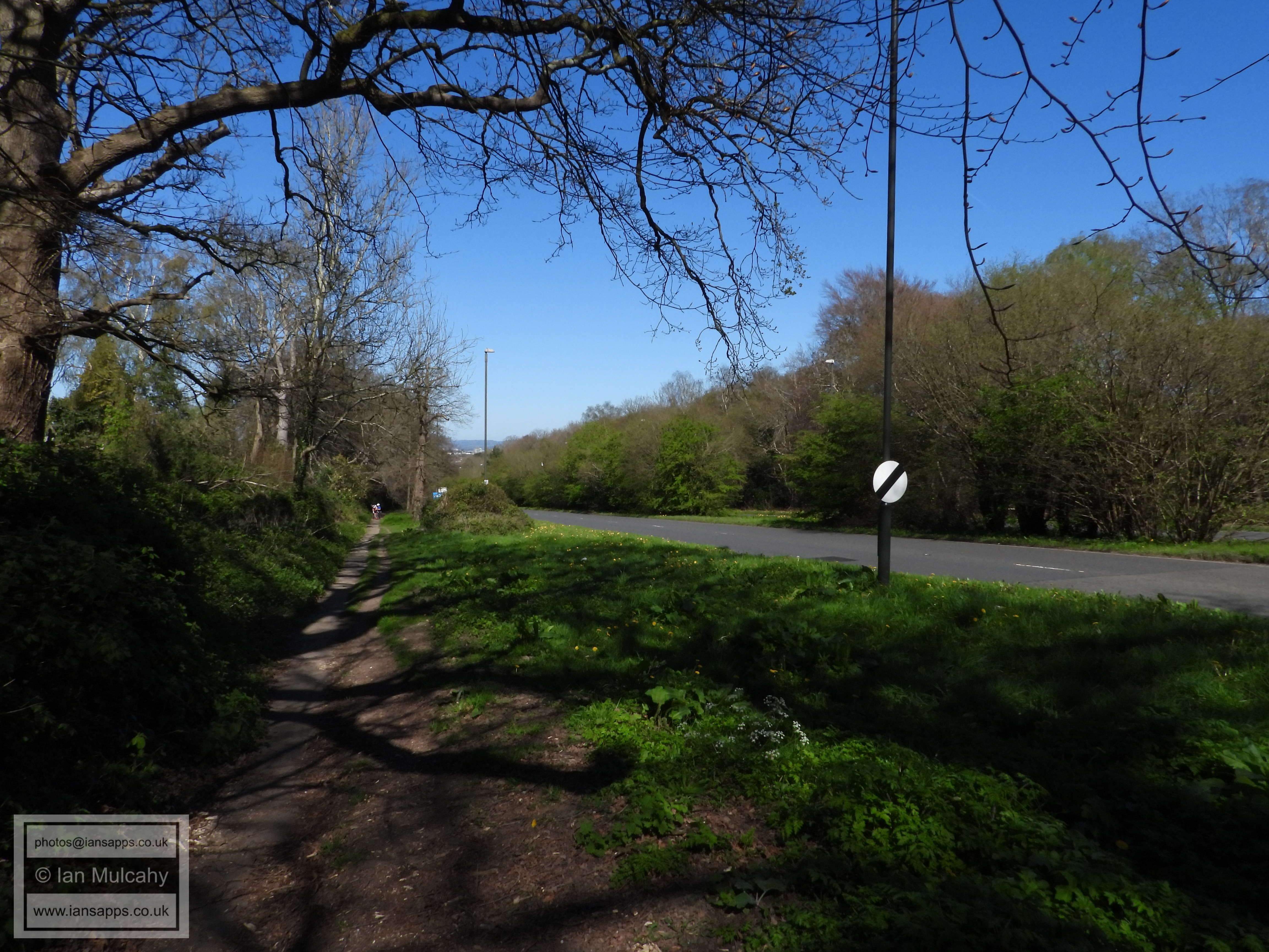
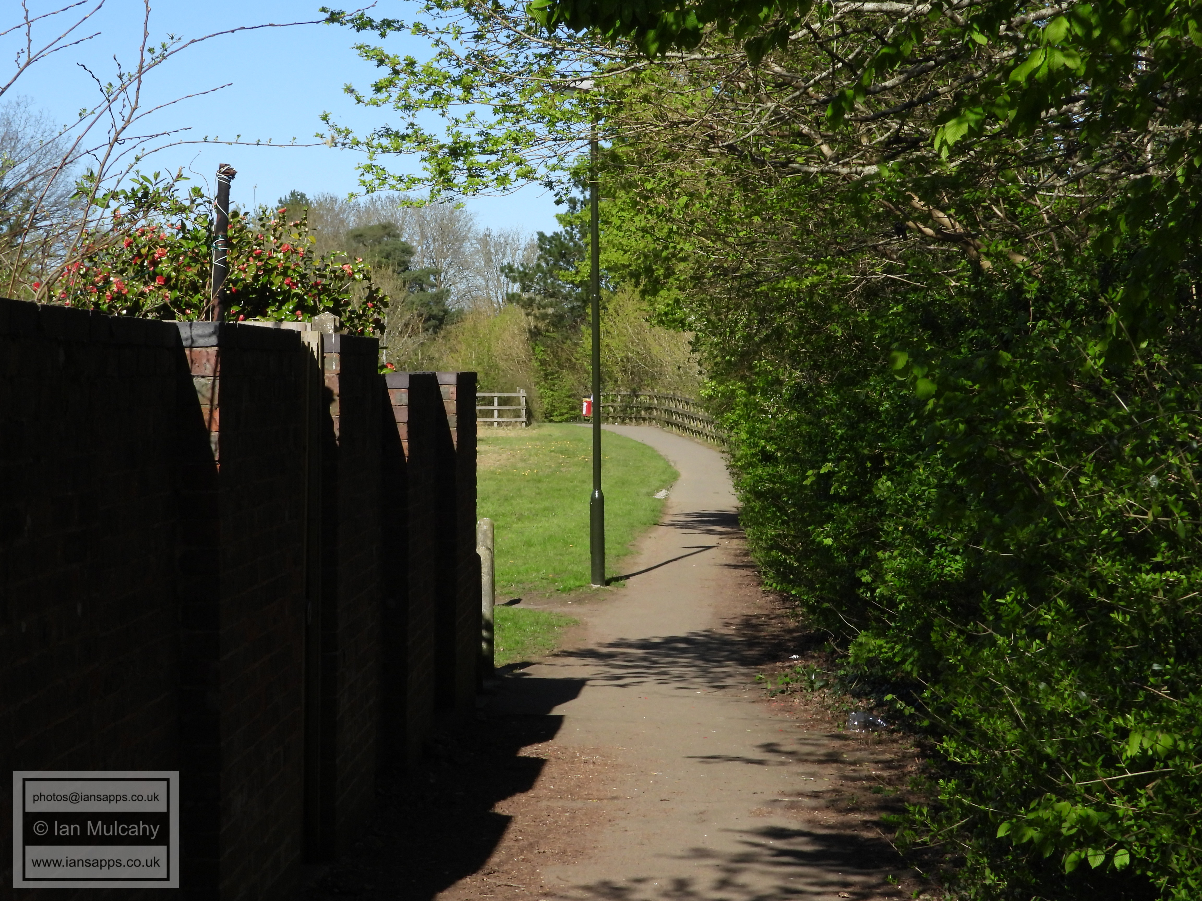
From Hazelwick Subway, walk southwards towards Tesco and then turn left down the pathway that splits the store from Hazelwick's playing fields. On reaching Bycroft Way turn left and go under the railway bridge and then turn immediately left onto the pathway in Grattons Park which runs alongside the railway line. Follow this path all the way to Crawley Avenue and then round to the right alongside Crawley Avenue until you get to the football pitches near the Tavern on the Green at Grattons Park.
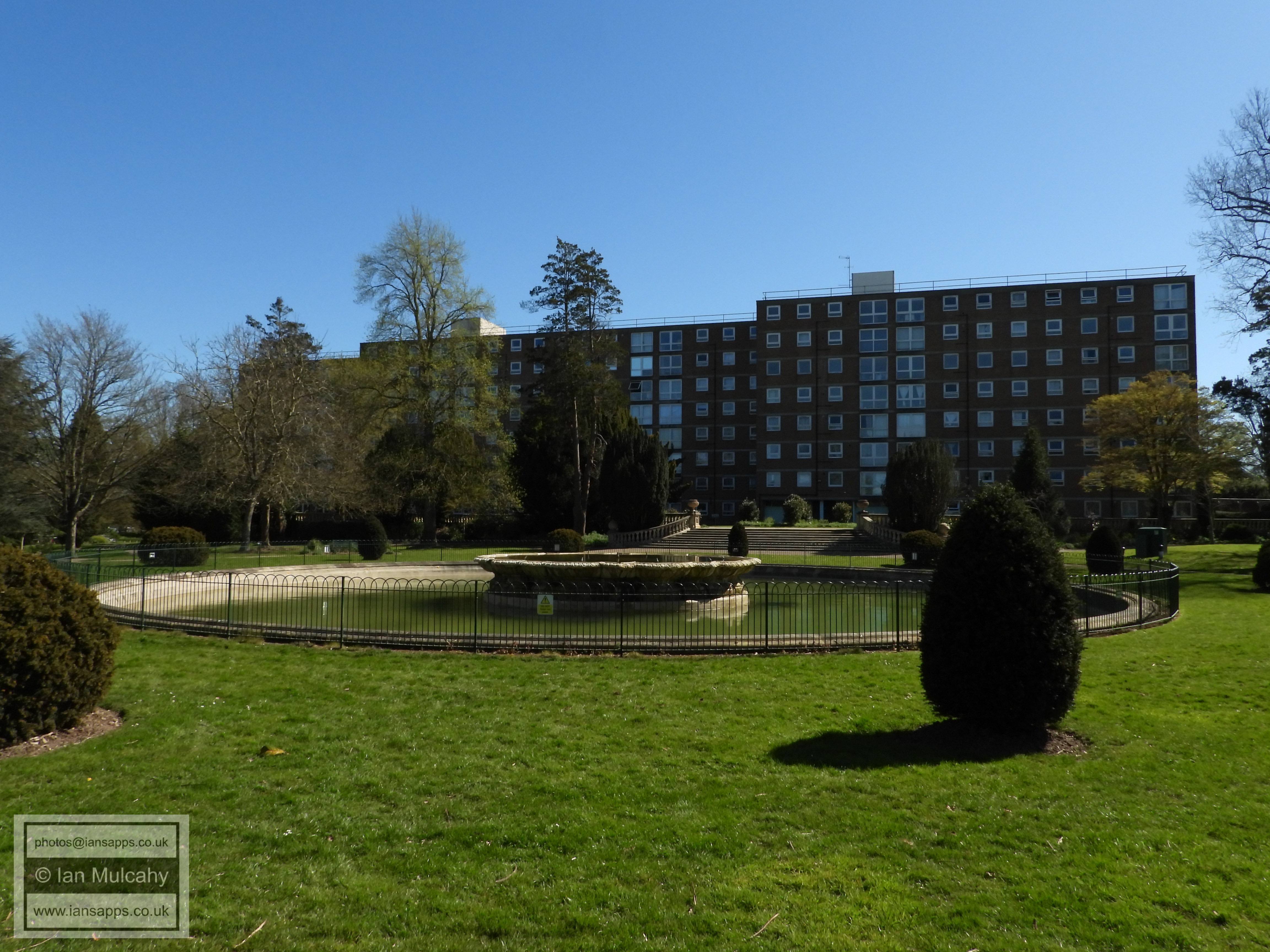
Follow the path into Clare Close and cross Grattons Drive onto the path which loops Worth Park Lake. You can go either way around the lake (I chose the northern and eastern sides) and then cross Somerville Drive into the grounds of Worth Park Mansion, long since demolished and replaced by Milton Mount Flats.
Make your way round to the right of the flats, through the formal gardens and Victorian pergola, to Ridleys Court and use the path to the south to access the crossing on the Balcombe Road. Cross the road and head south to Ridleys Corner and then turn left onto the Copthorne Road. At the traffic lights, cross Copthorne Road and take the path in front of you which runs between Bashford Way and Oakfields and takes you to The Grooms.
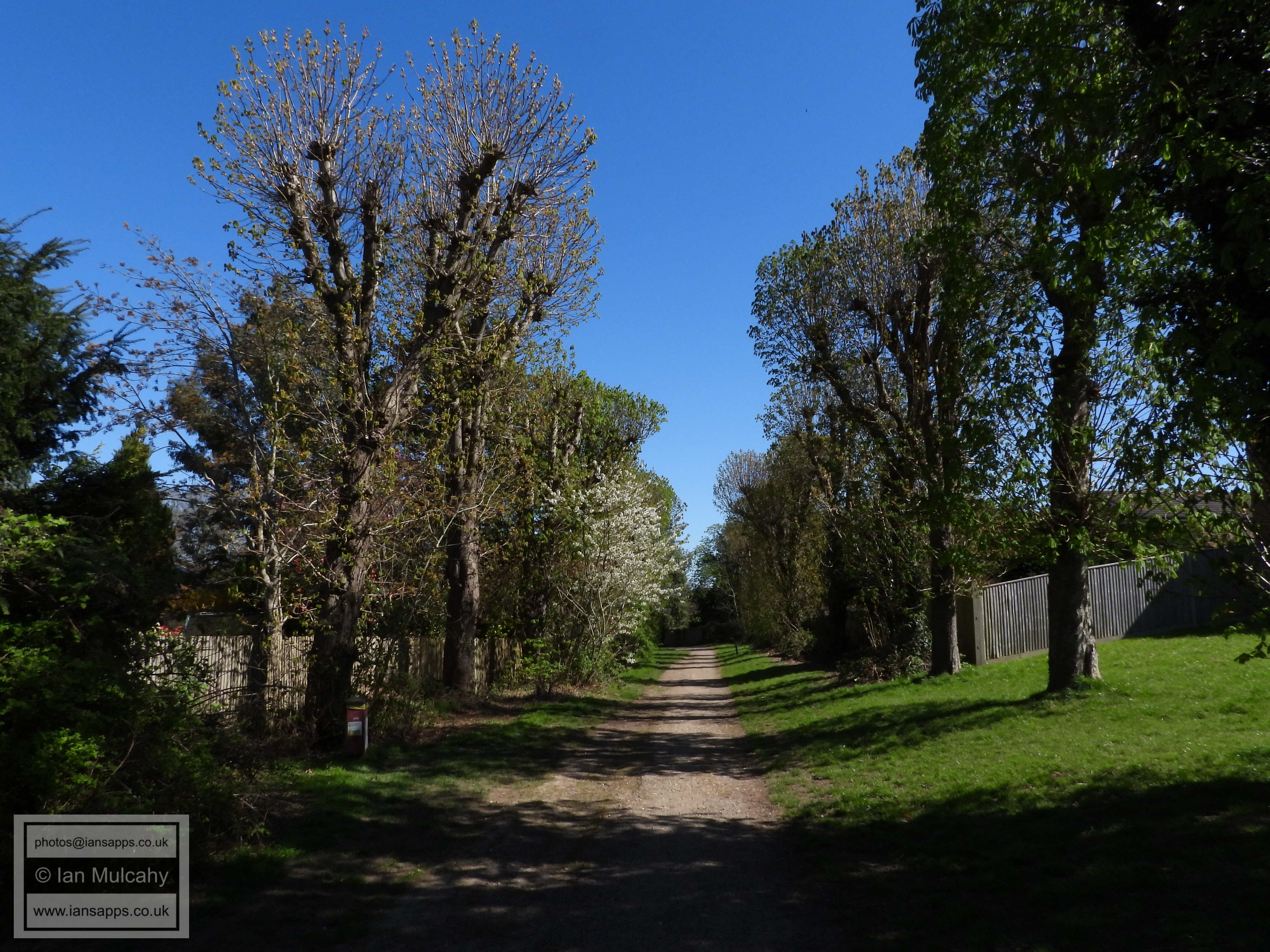
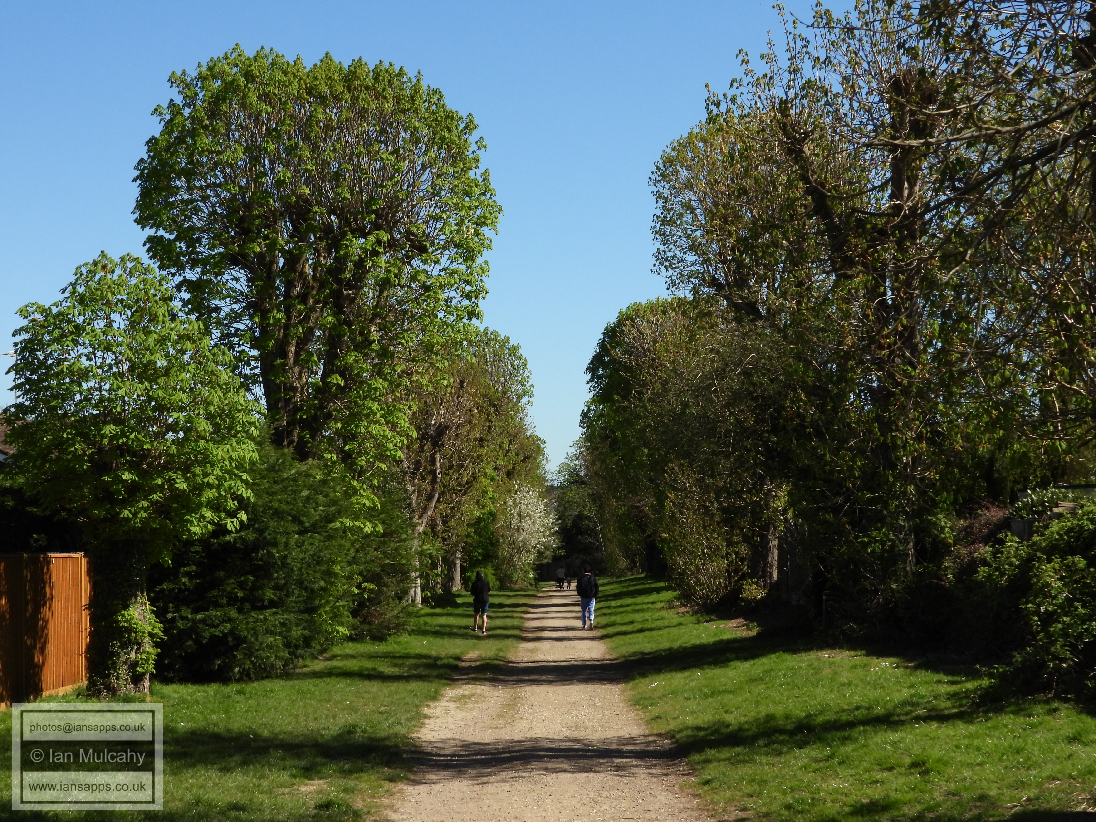
Turn left onto The Grooms and at the end turn right into Byerley Way. Take the second left into The Canter and head to the far right corner, where a path will take you into an open space. Head to the far left (south-east) corner of this area and join the path that leads southwards up a fairly steep hill, away from the subway under the motorway. Veer round to the right and join the former driveway from the South Lodge to Crabbet Park and follow this tree lined driveway all the way to Turners Hill Road, crossing The Ridings as you do.
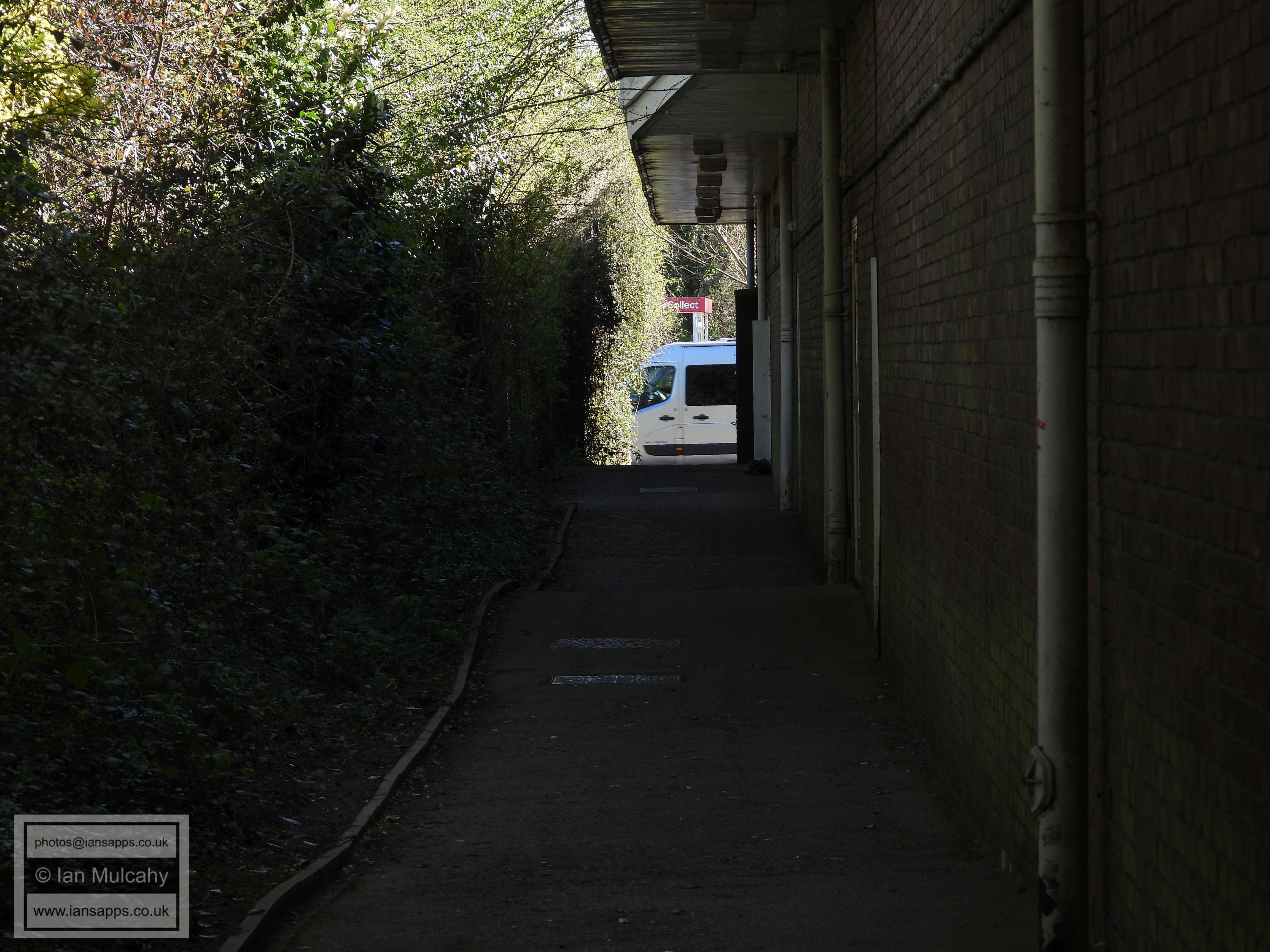
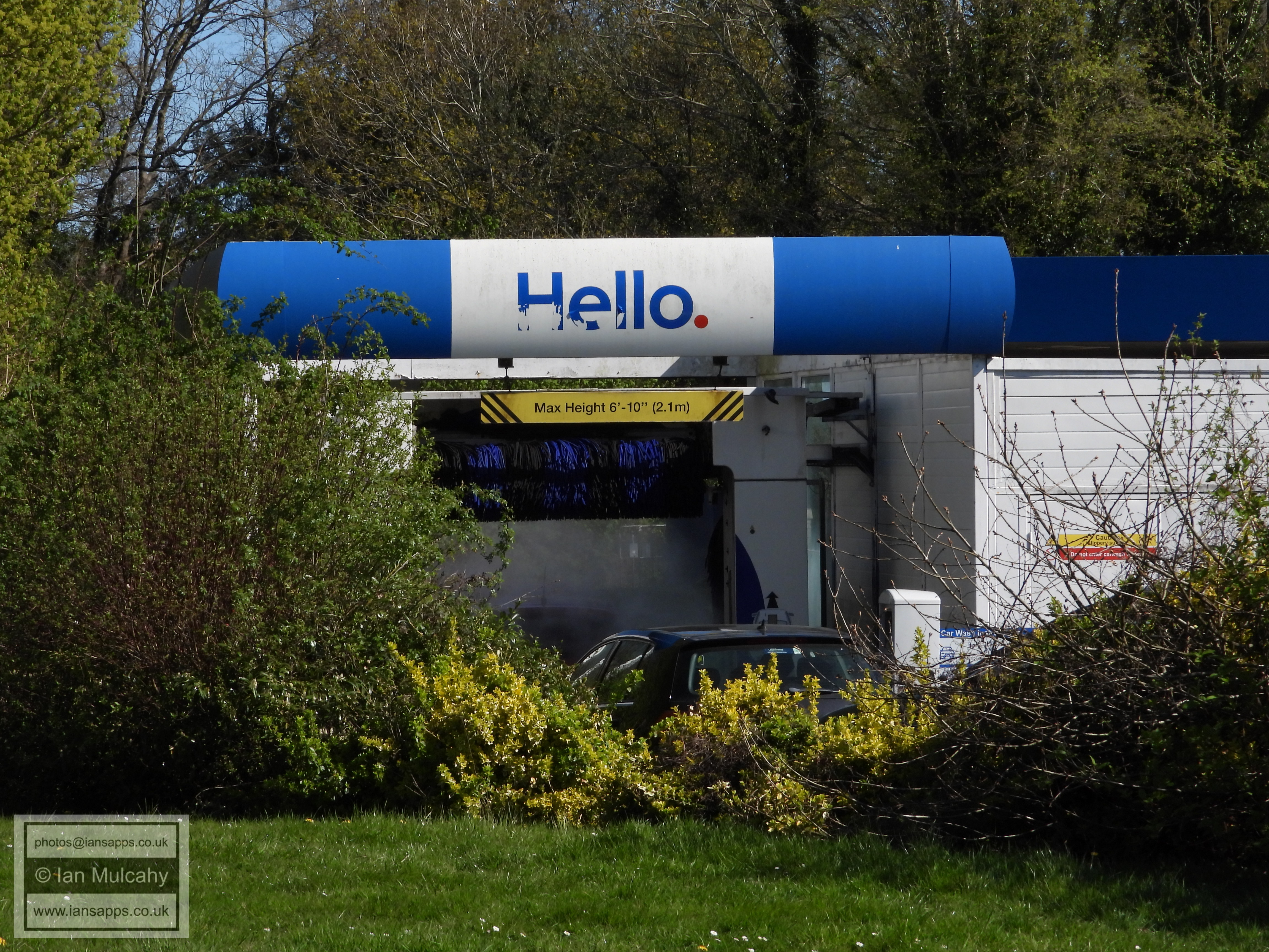
The pathway beside Tesco
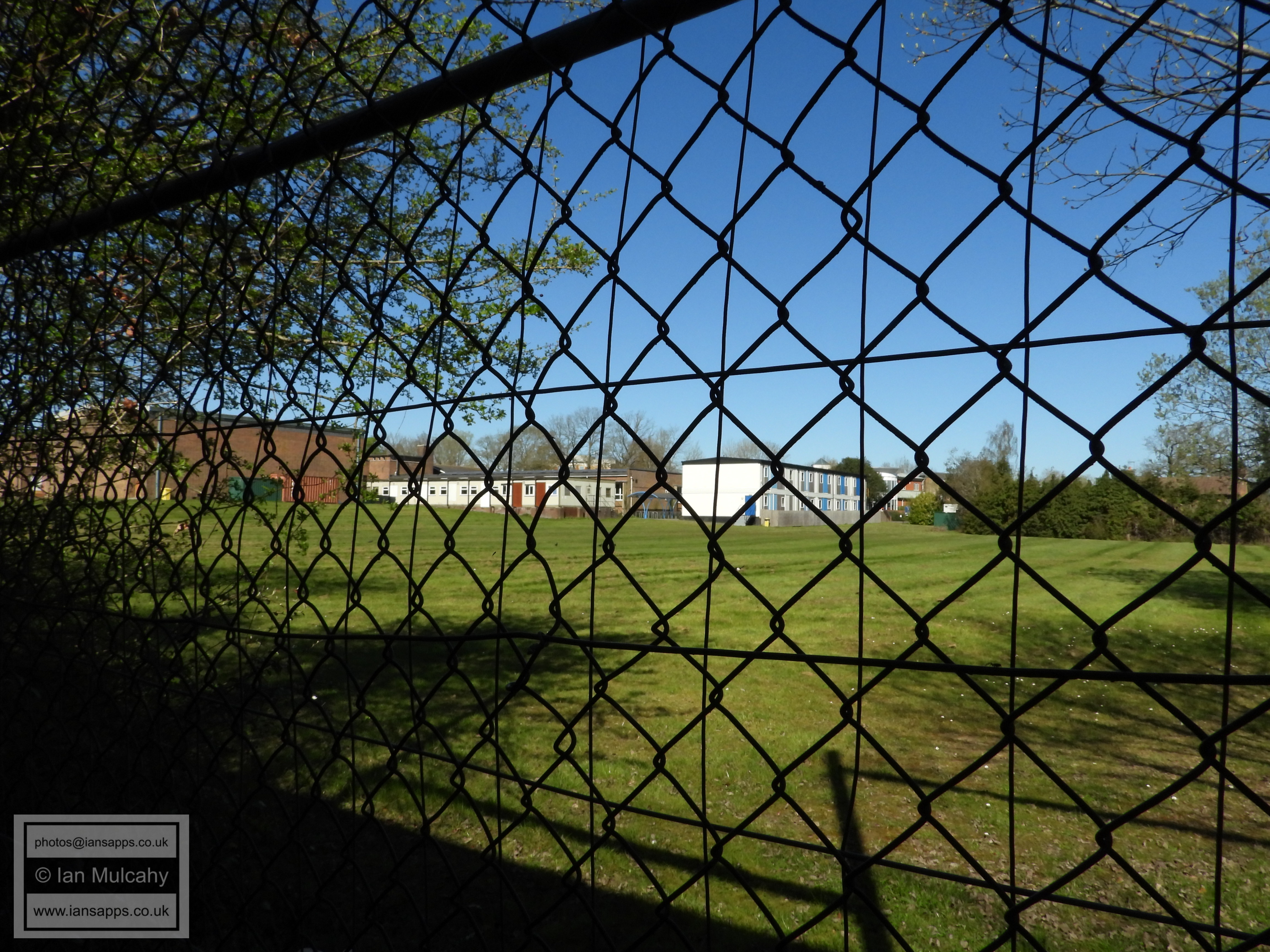
Hazelwick School (south)
Hello!
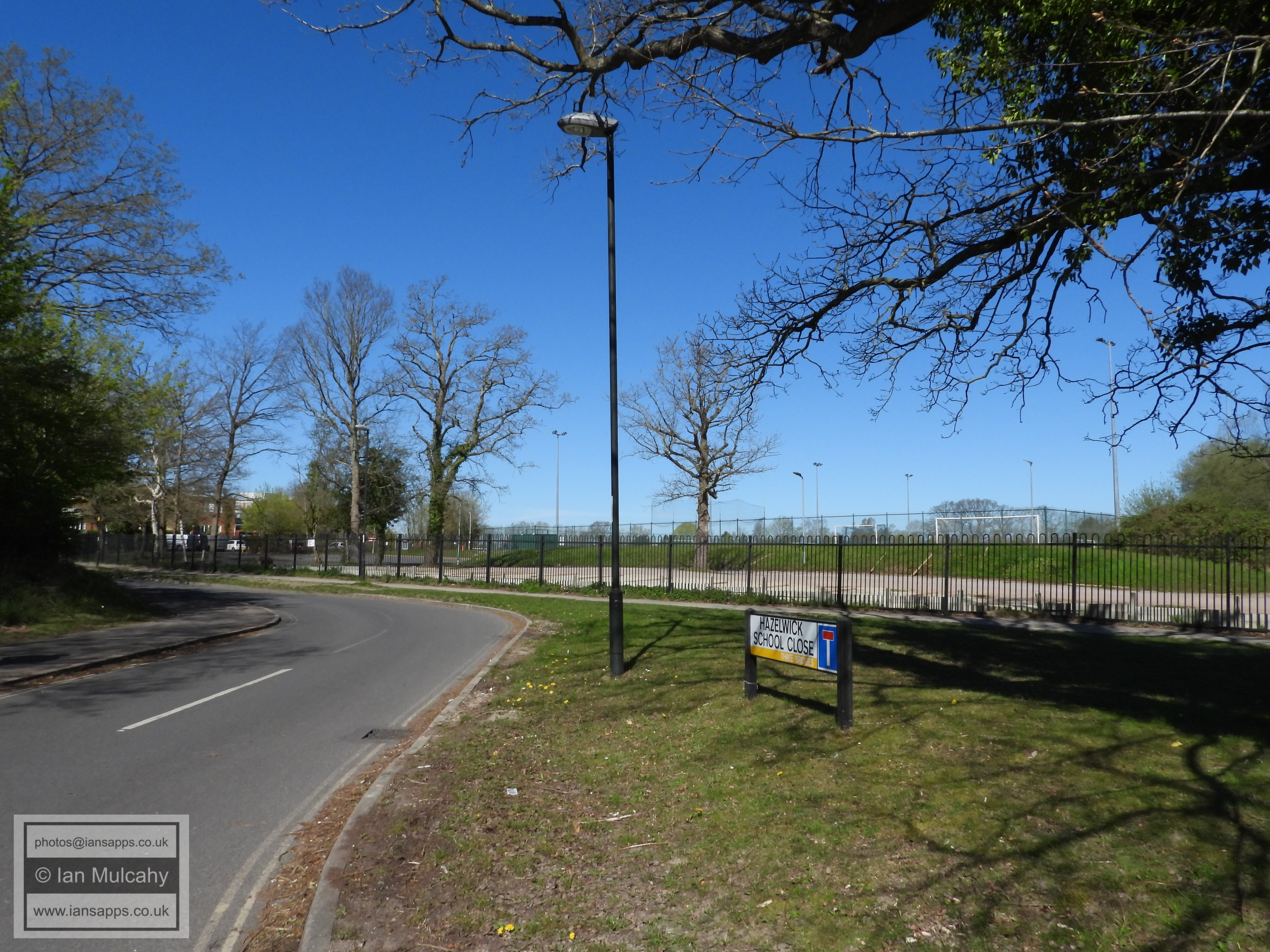
Hazelwick Mill Lane, now called Hazelwick School Close since the Lane was cut in the middle, to avoid confusing some...
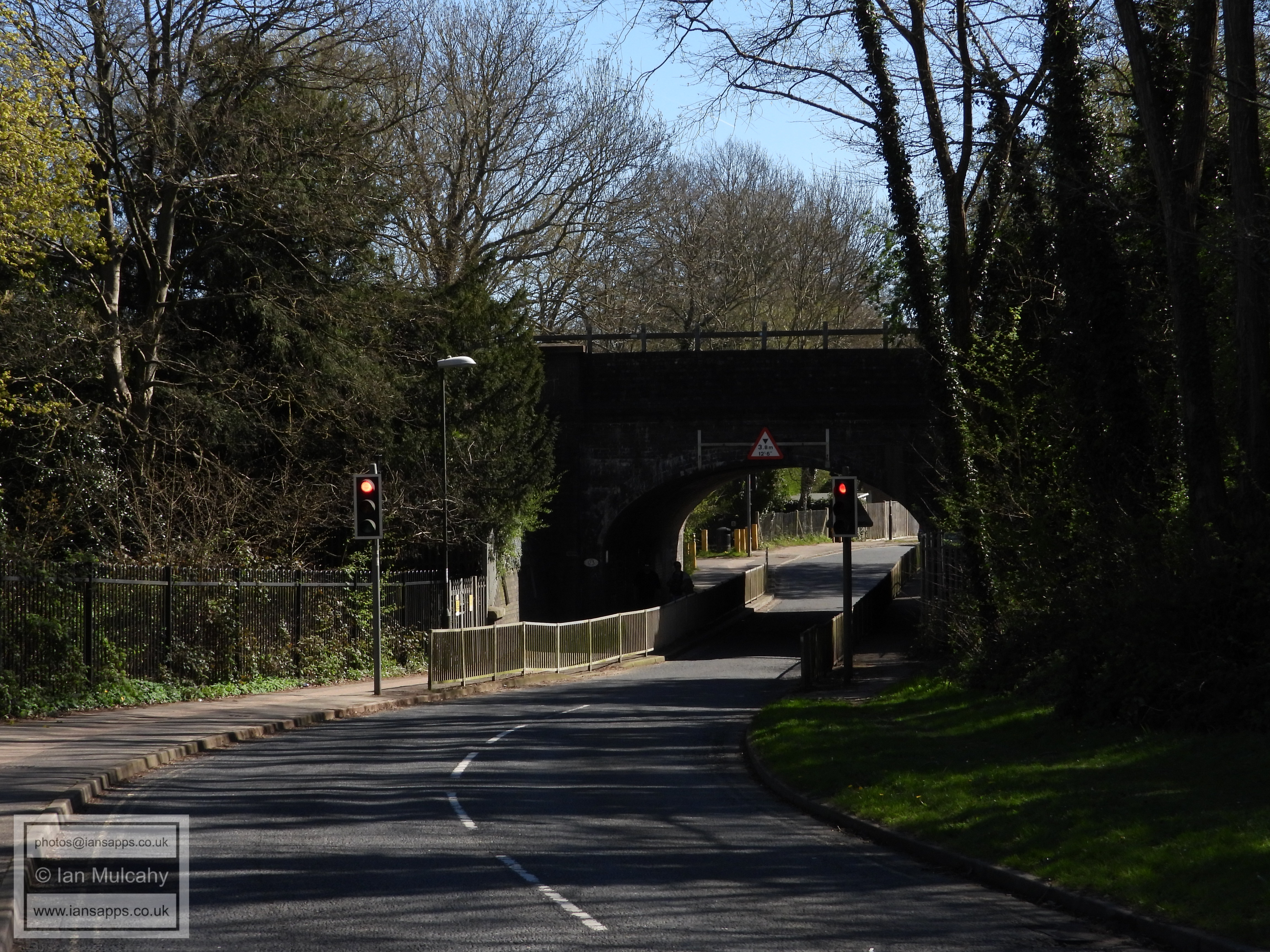
The railway bridge at the end of St Mary's Drive
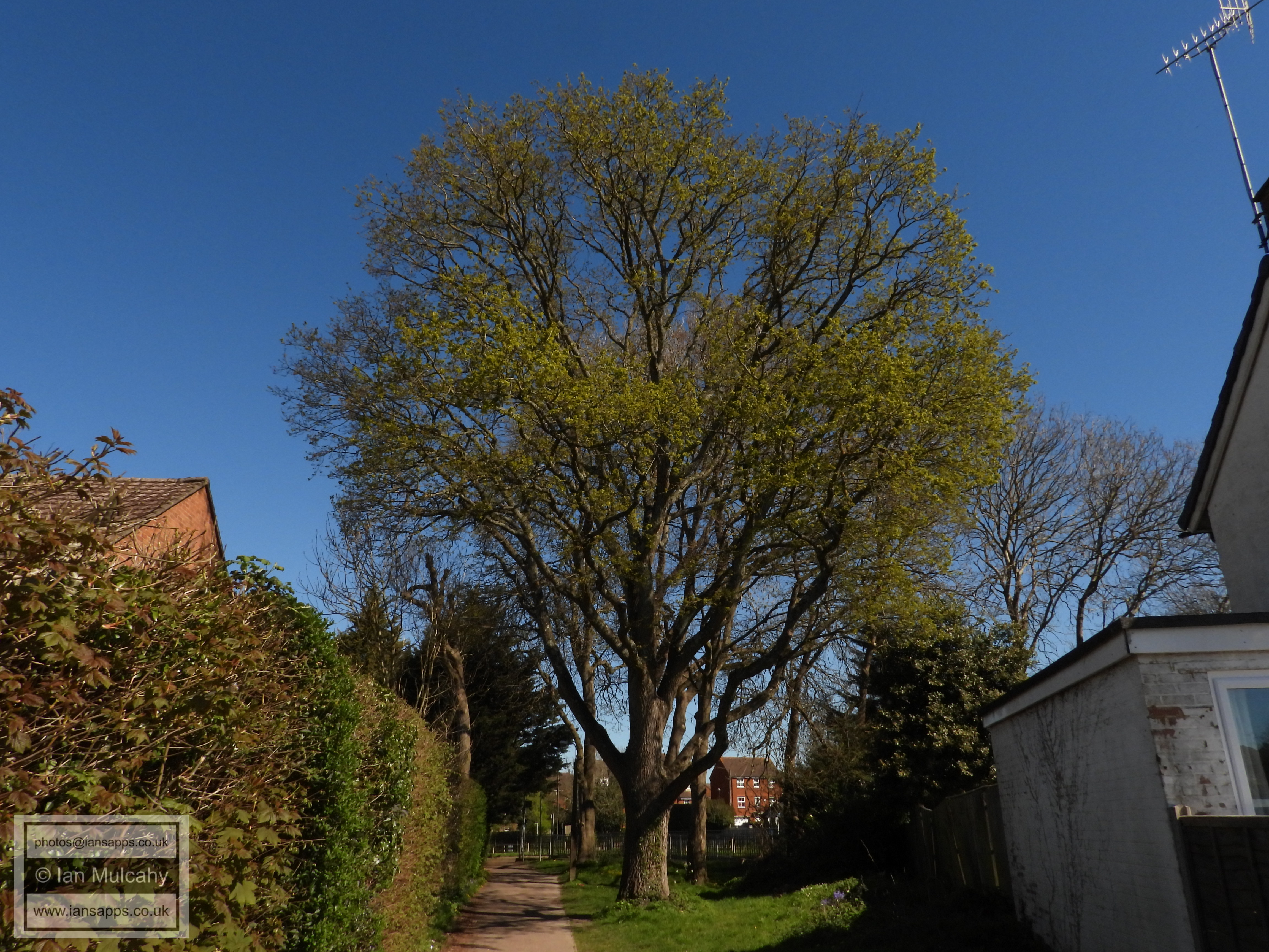
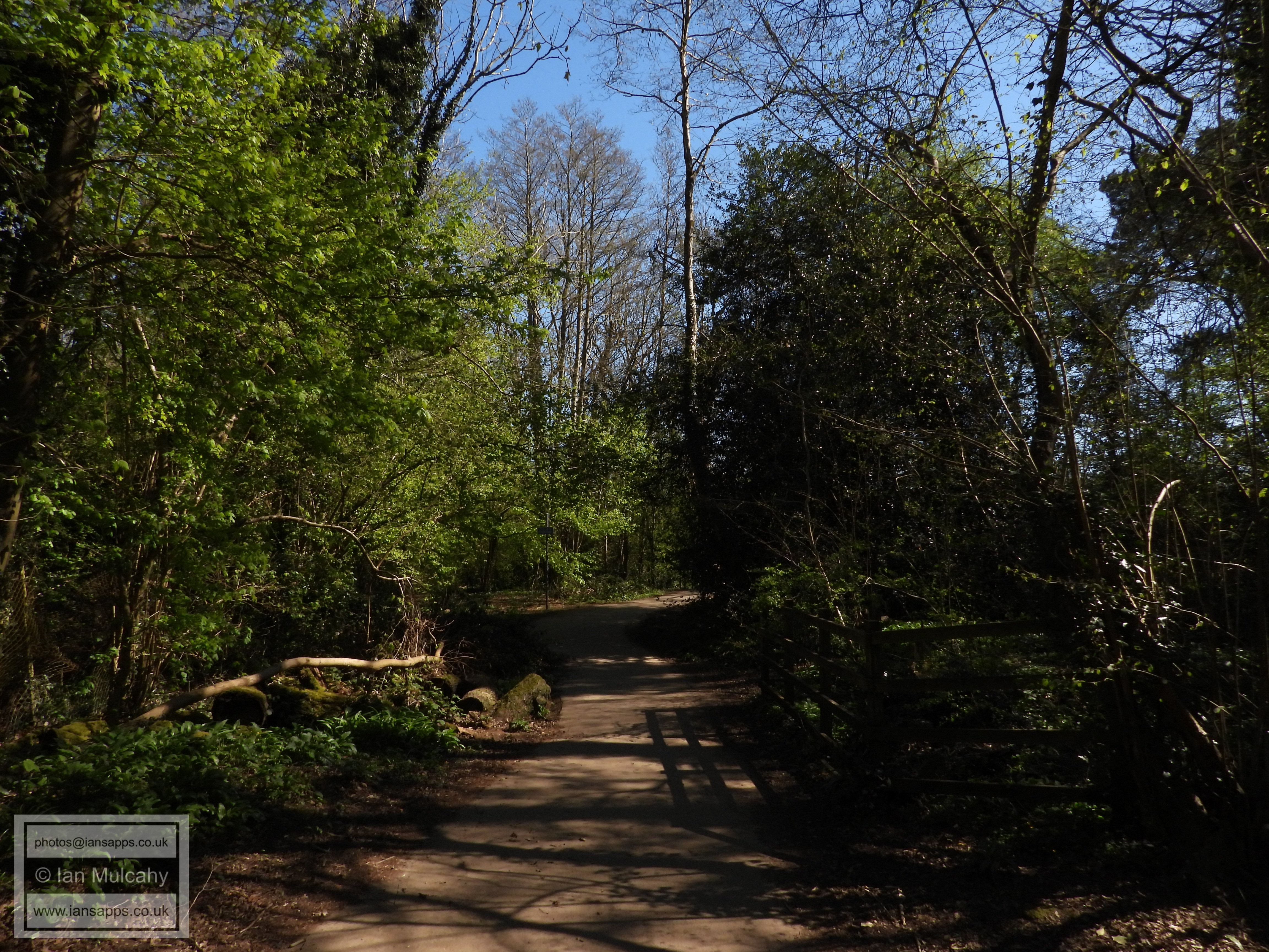
Grattons Park
Grattons Park
Grattons Park
Grattons Park
Grattons Park
Grattons Park
Grattons Park
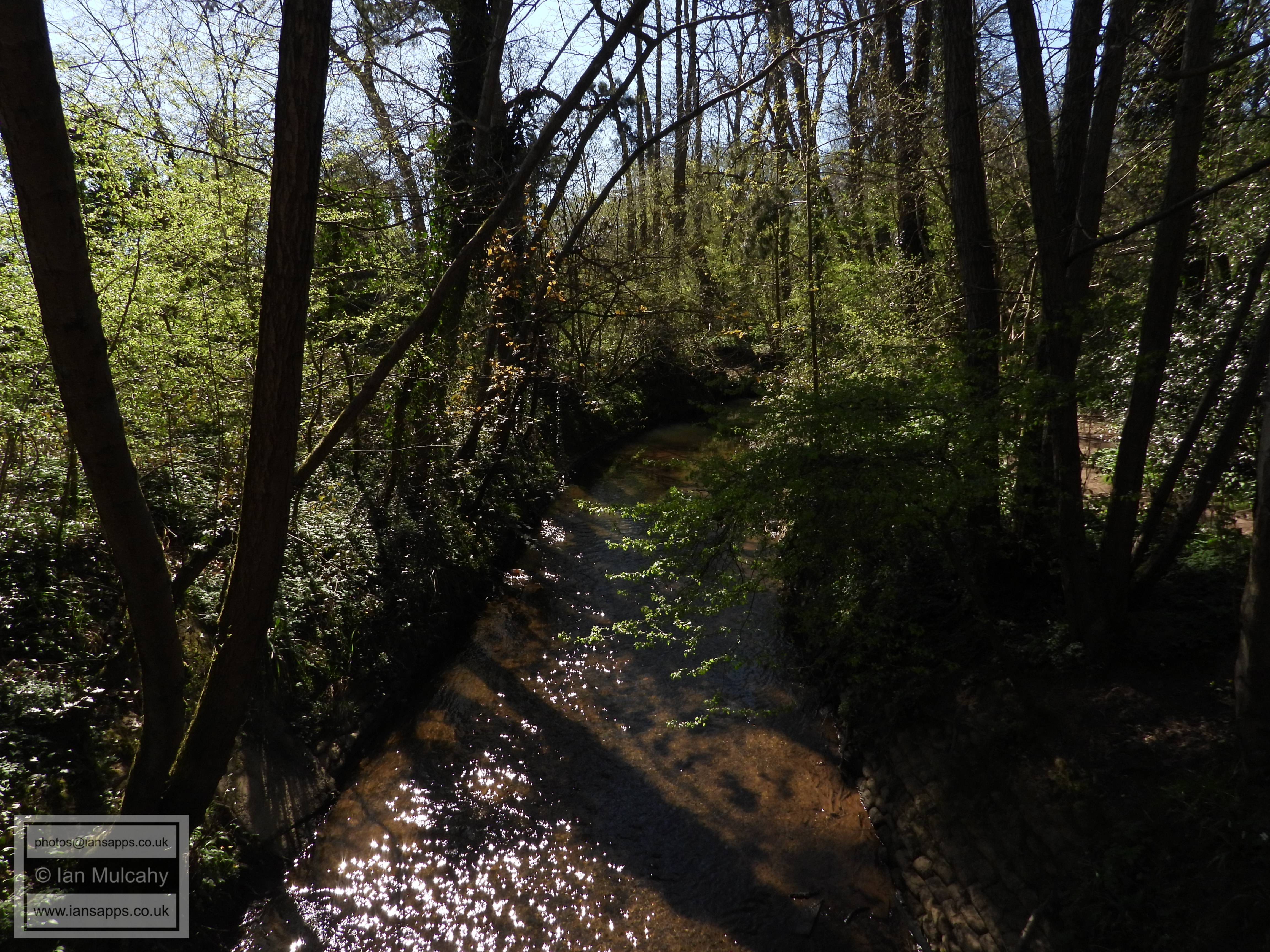
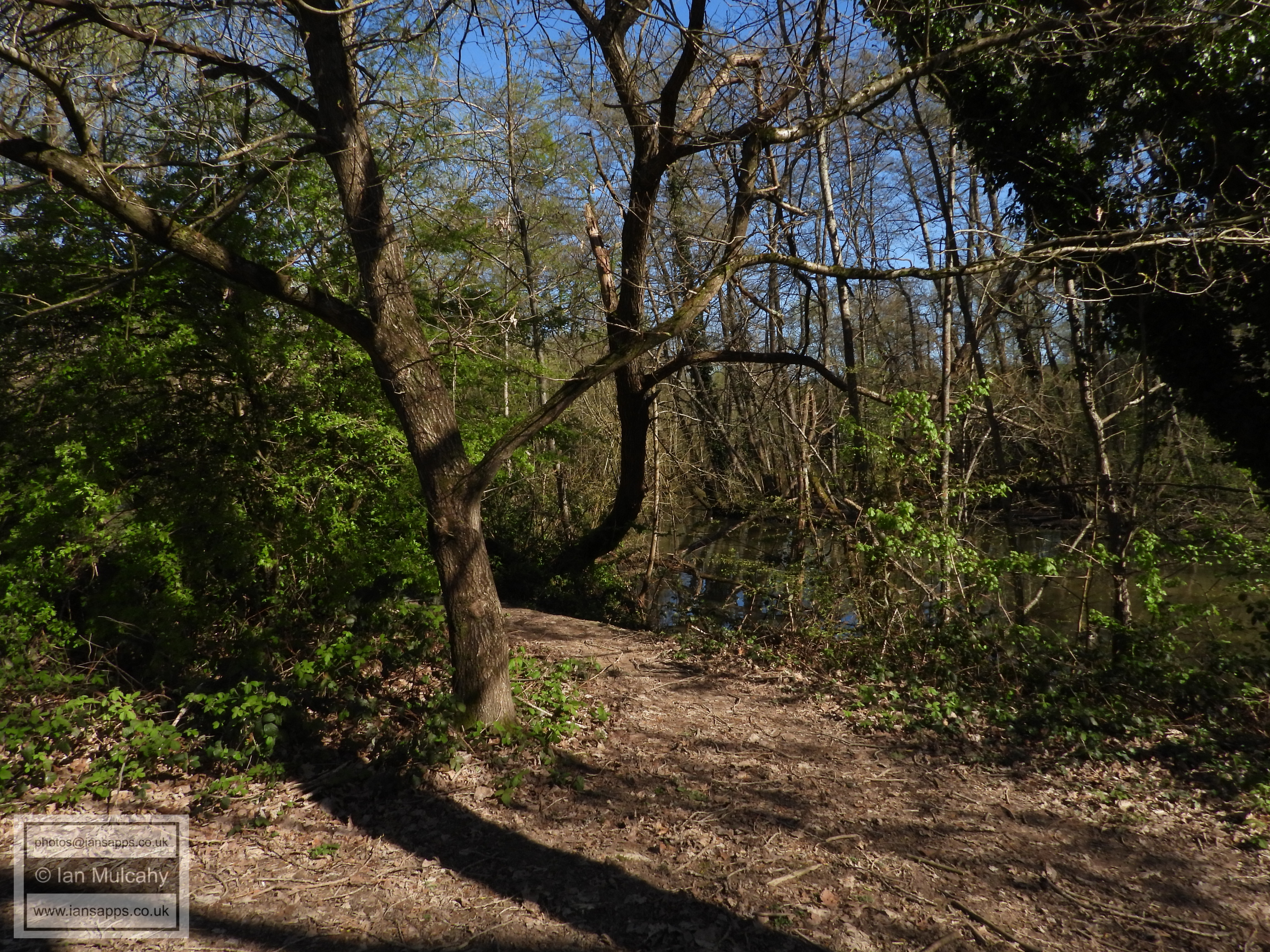
The Gatwick Stream in Grattons Park
Grattons Park
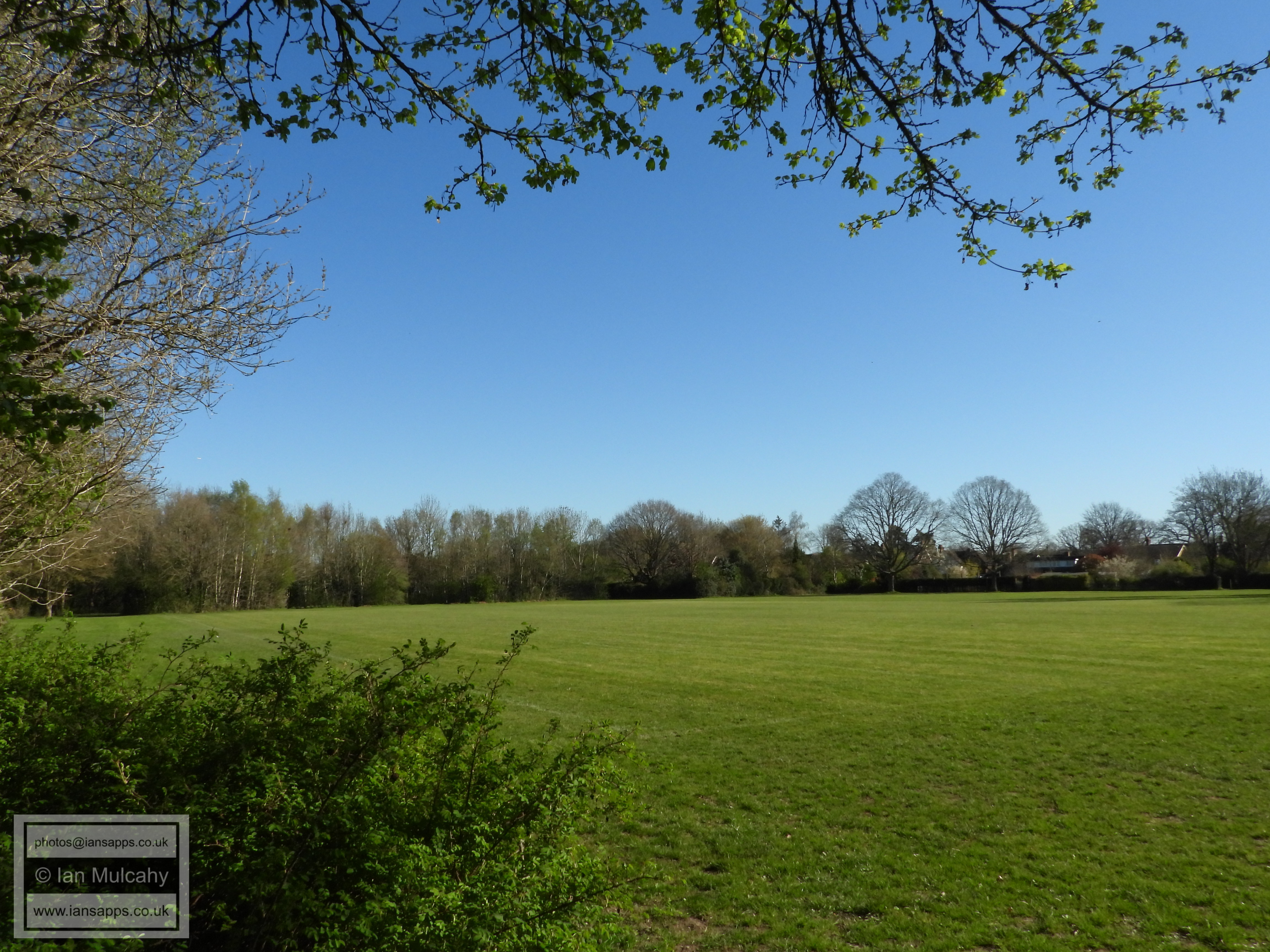
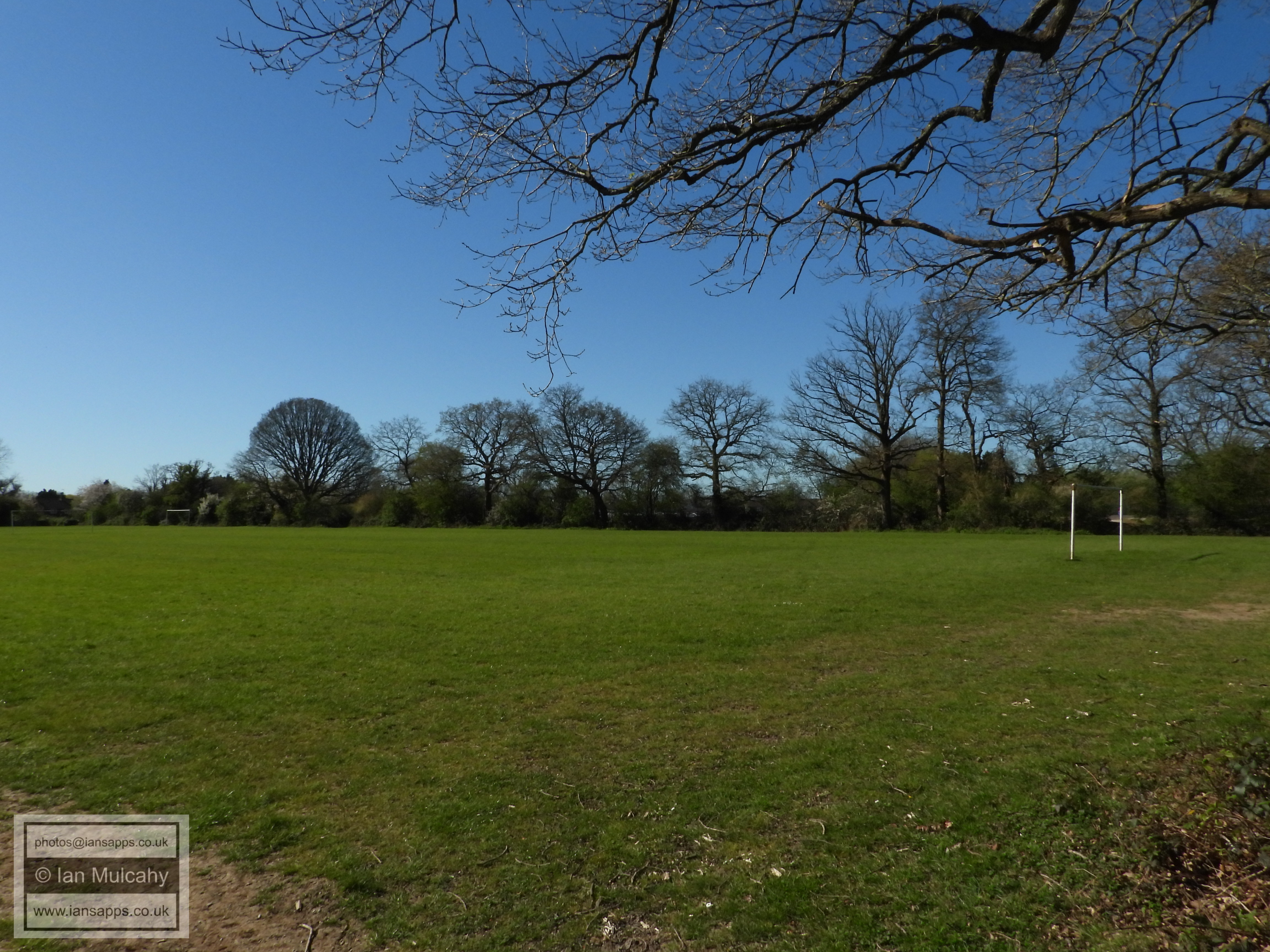
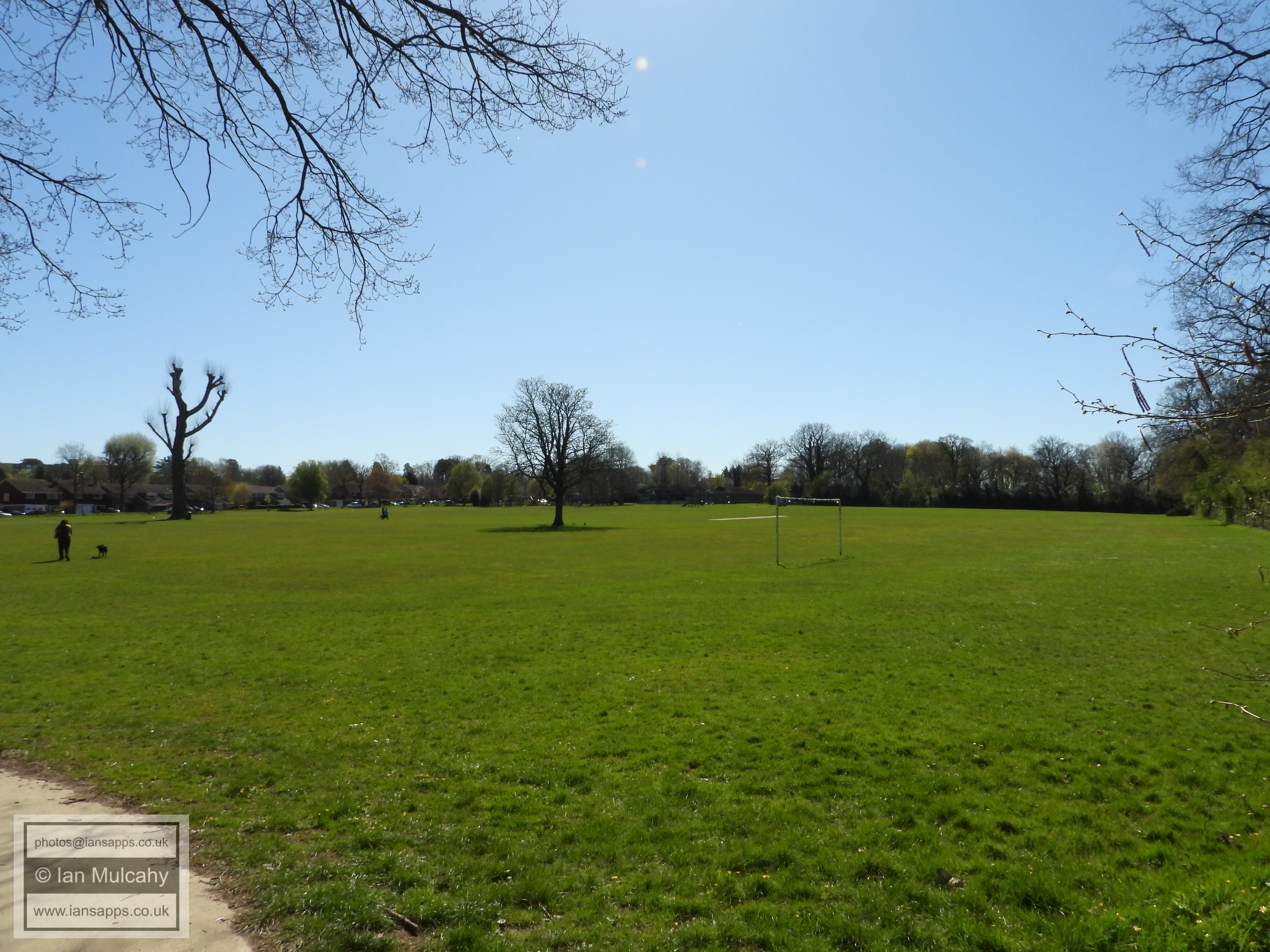
Grattons Park Playing Fields
Grattons Park
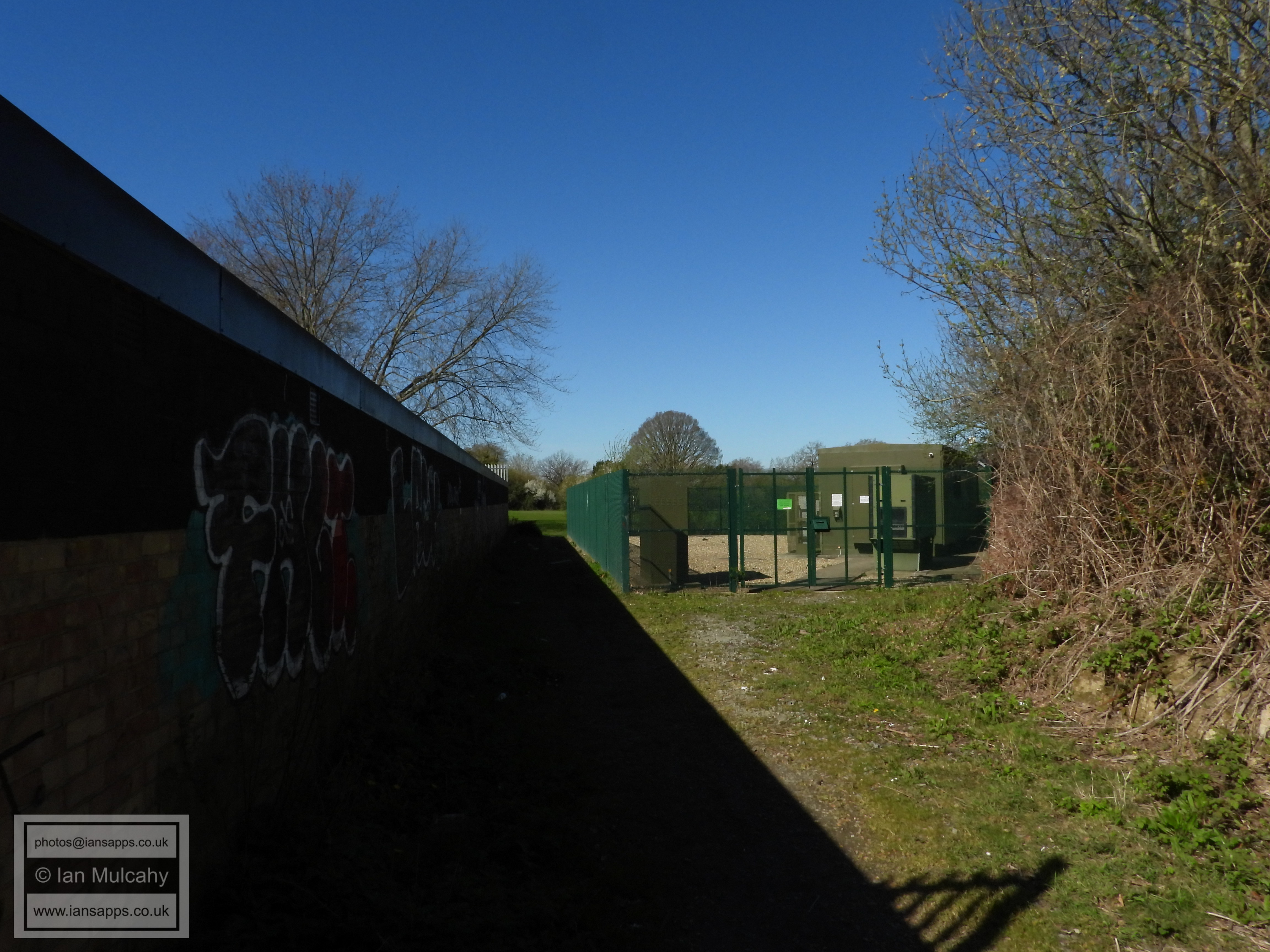
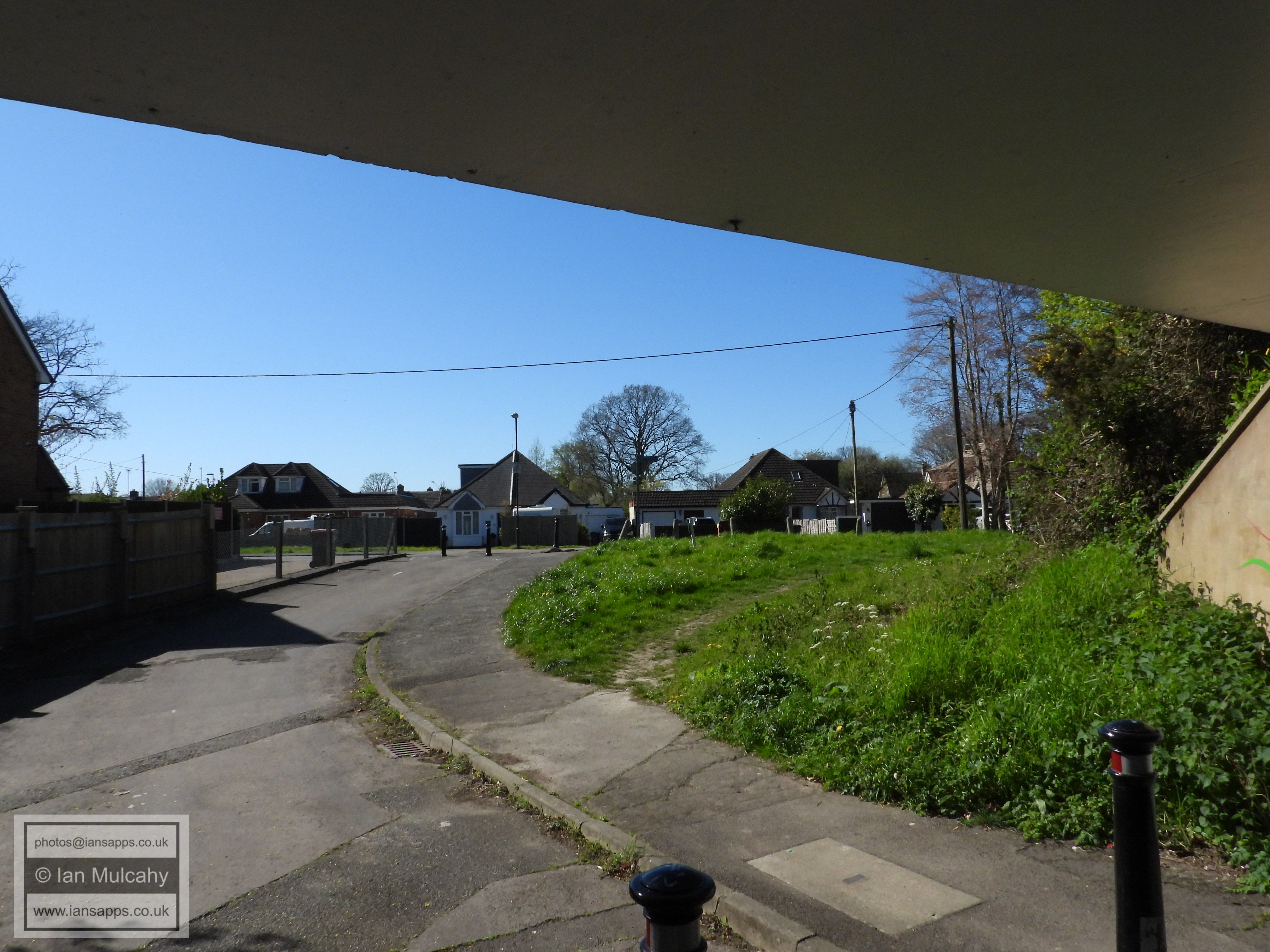
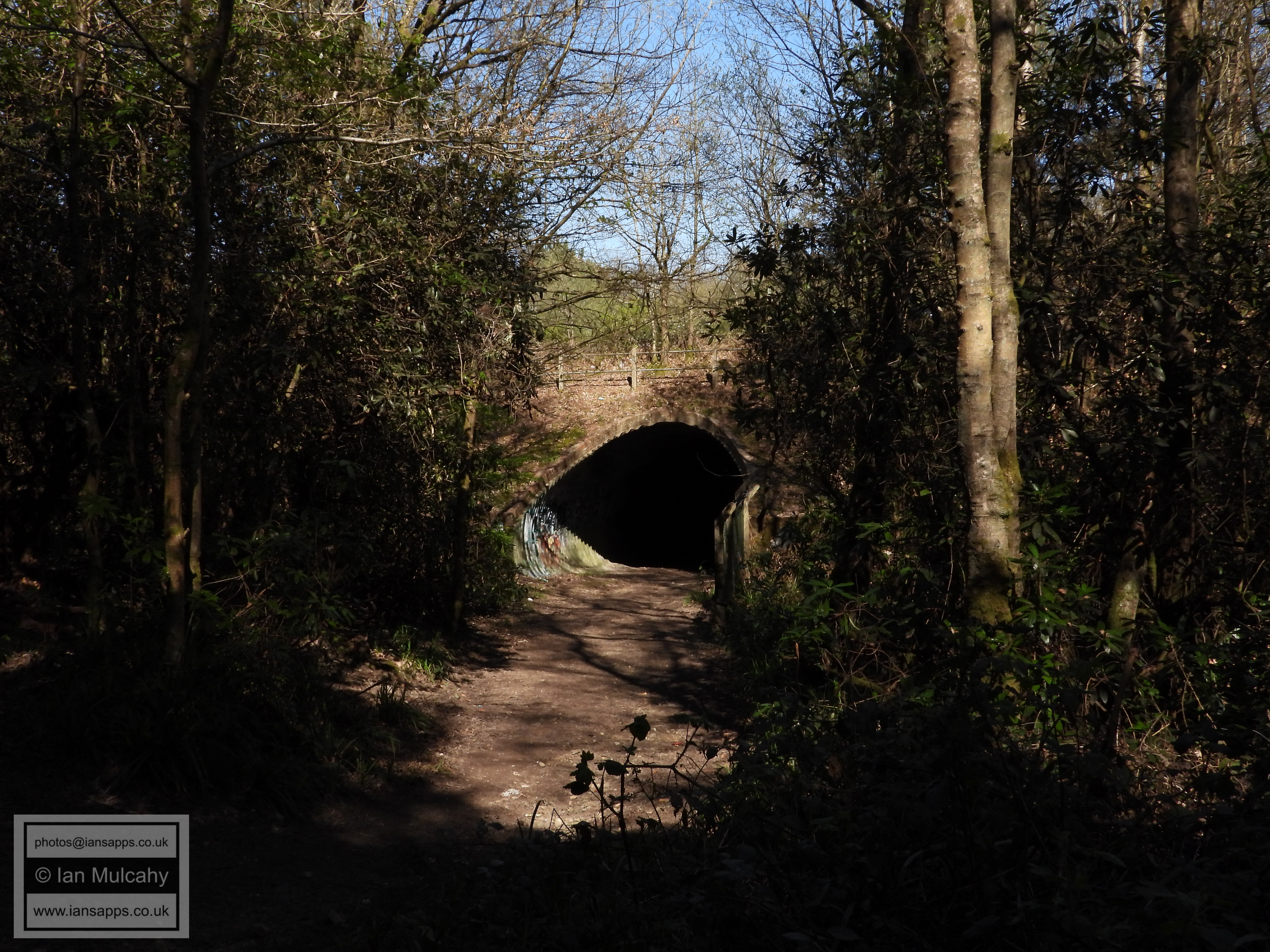
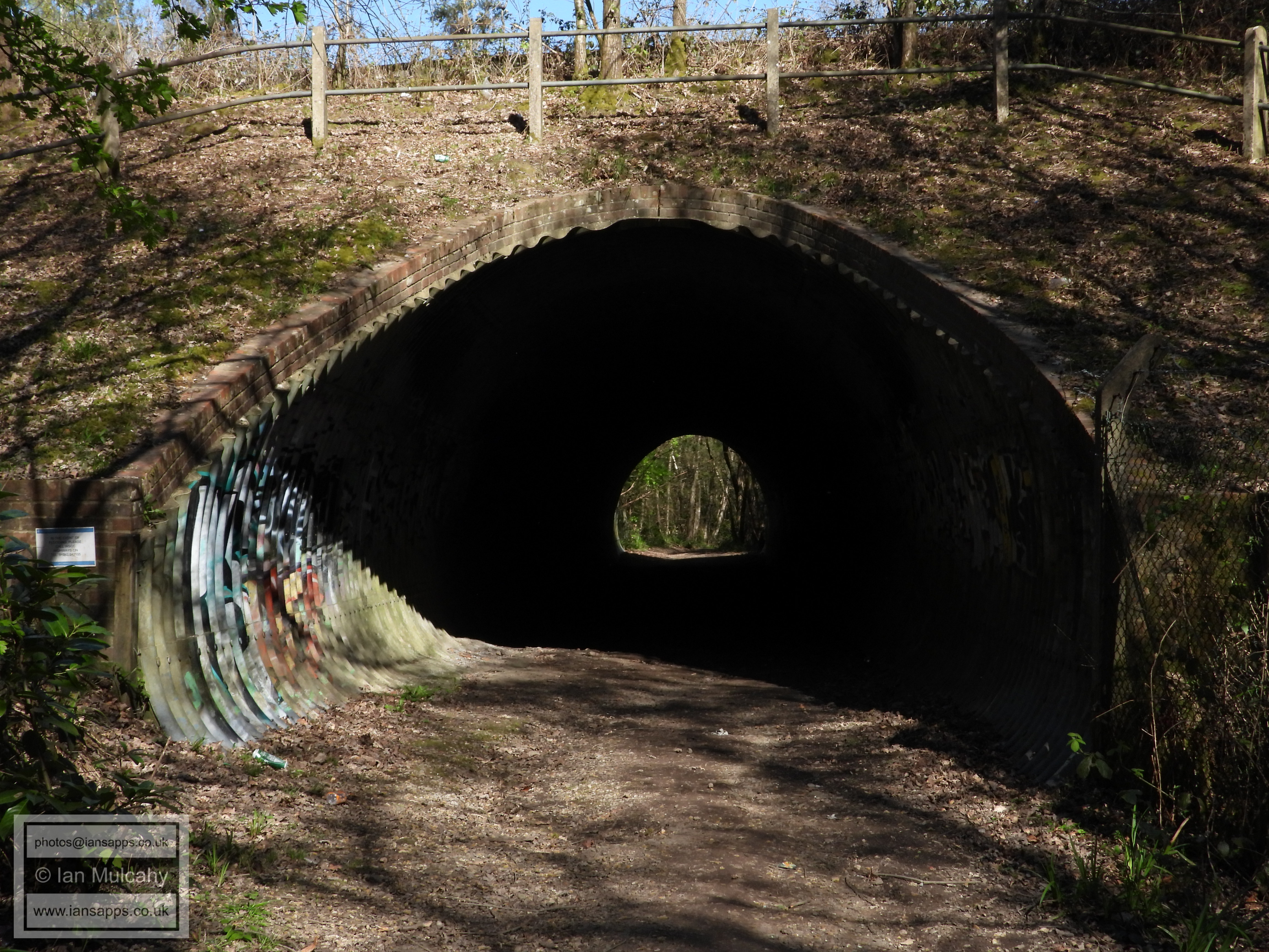
The subway from Grattons Park into Forge Wood
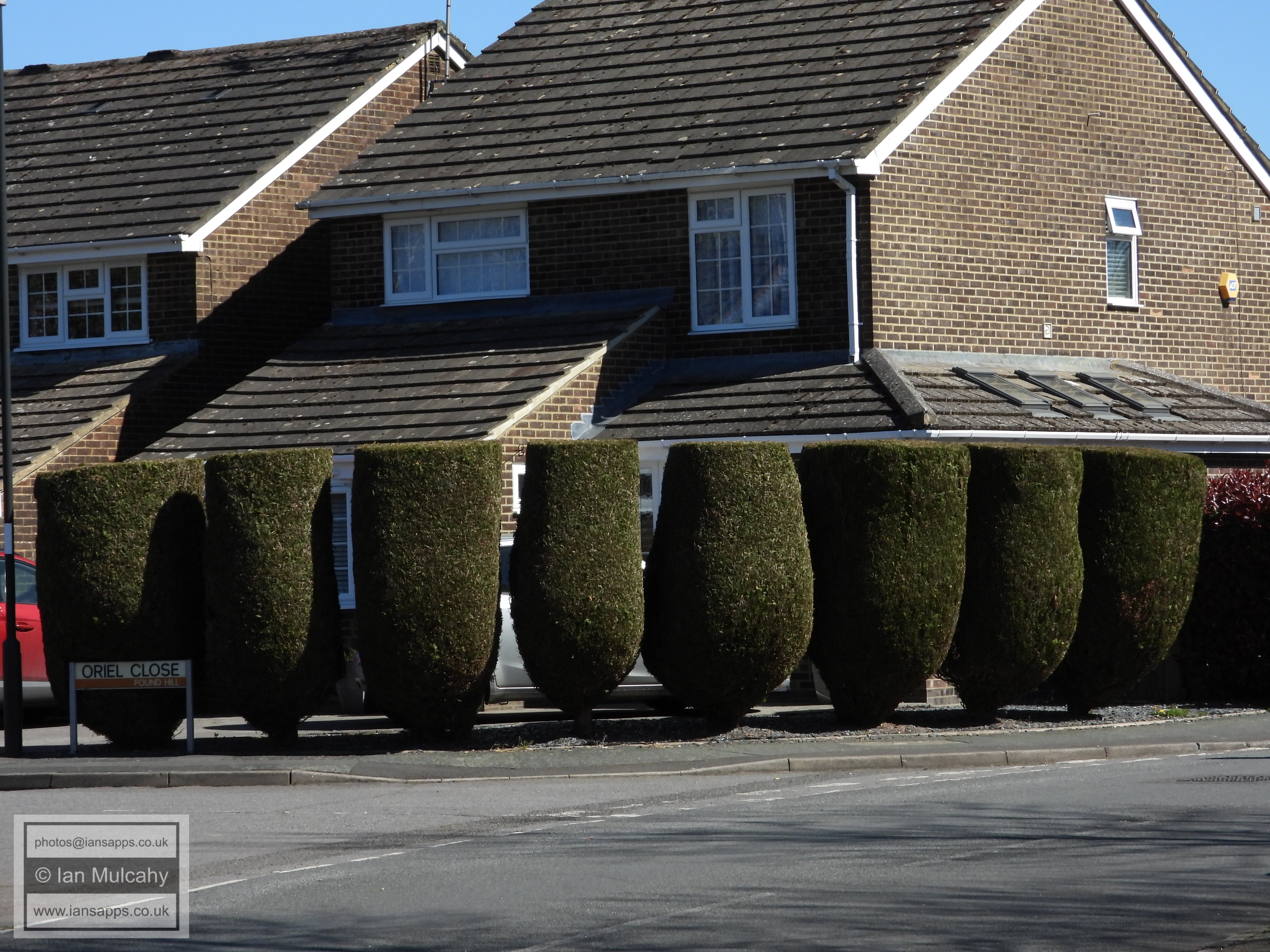
Some topiary in Oriel Close
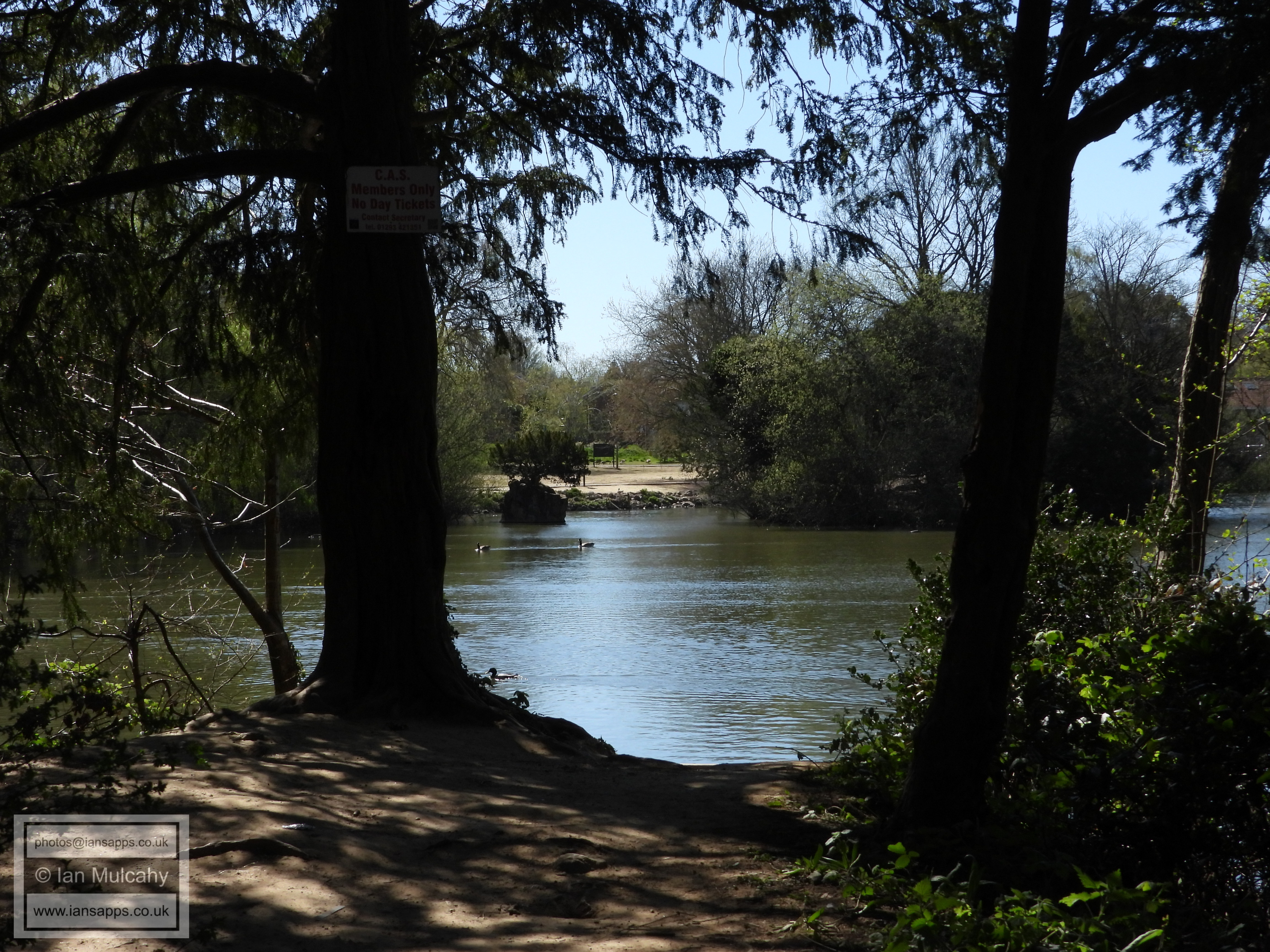
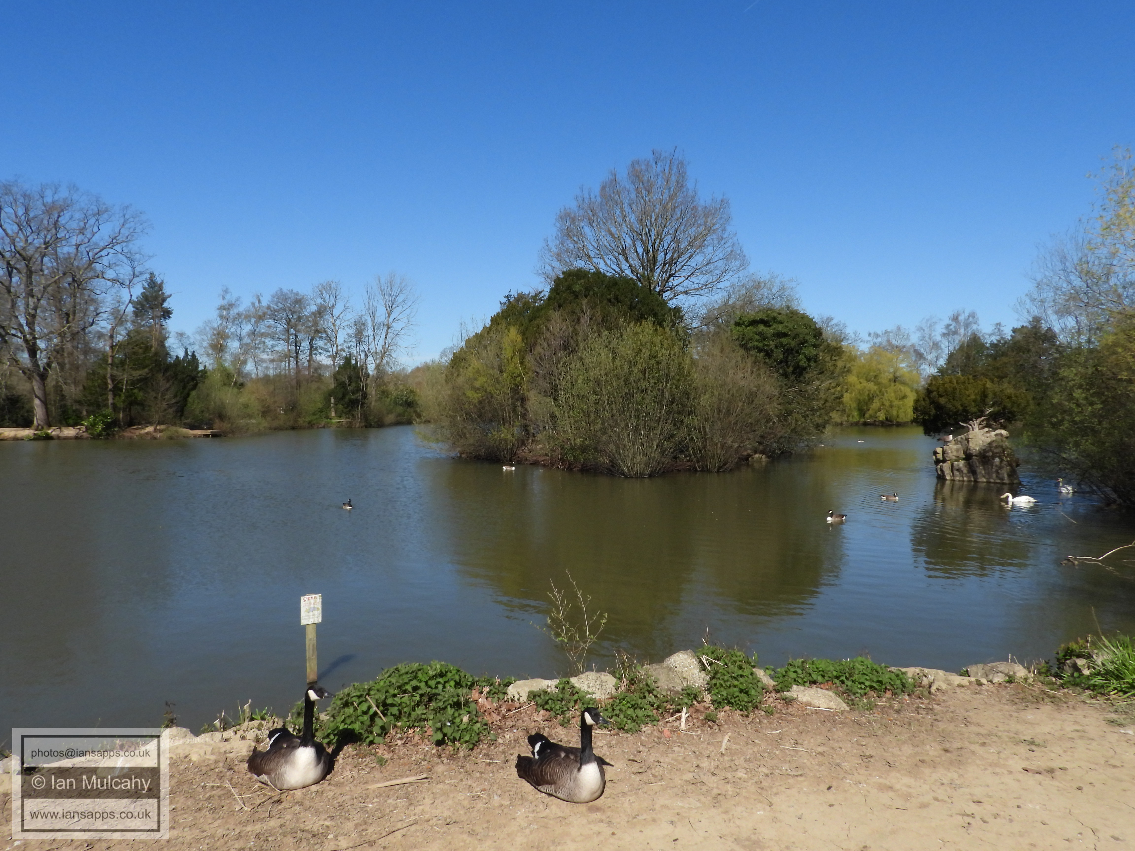
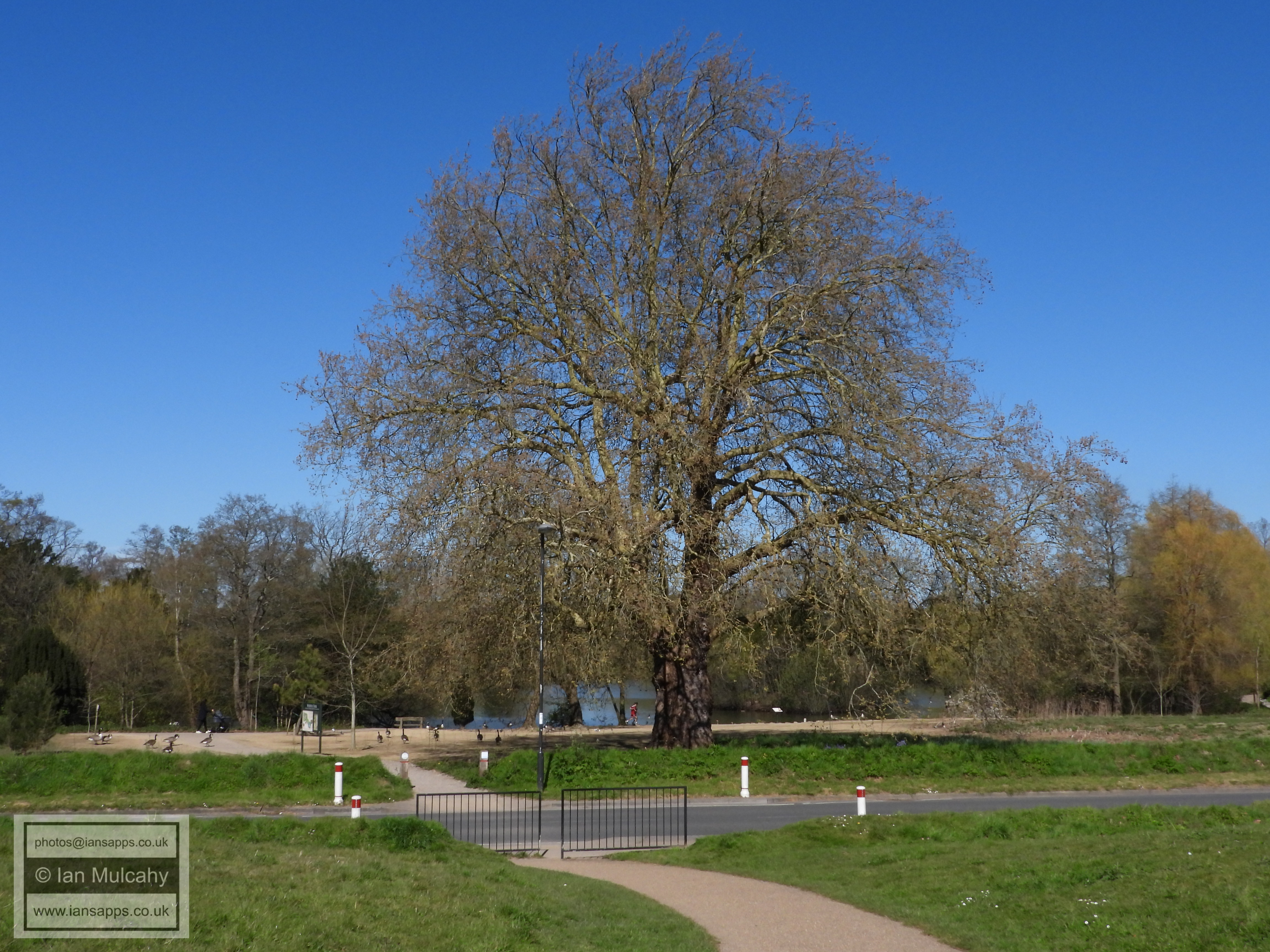
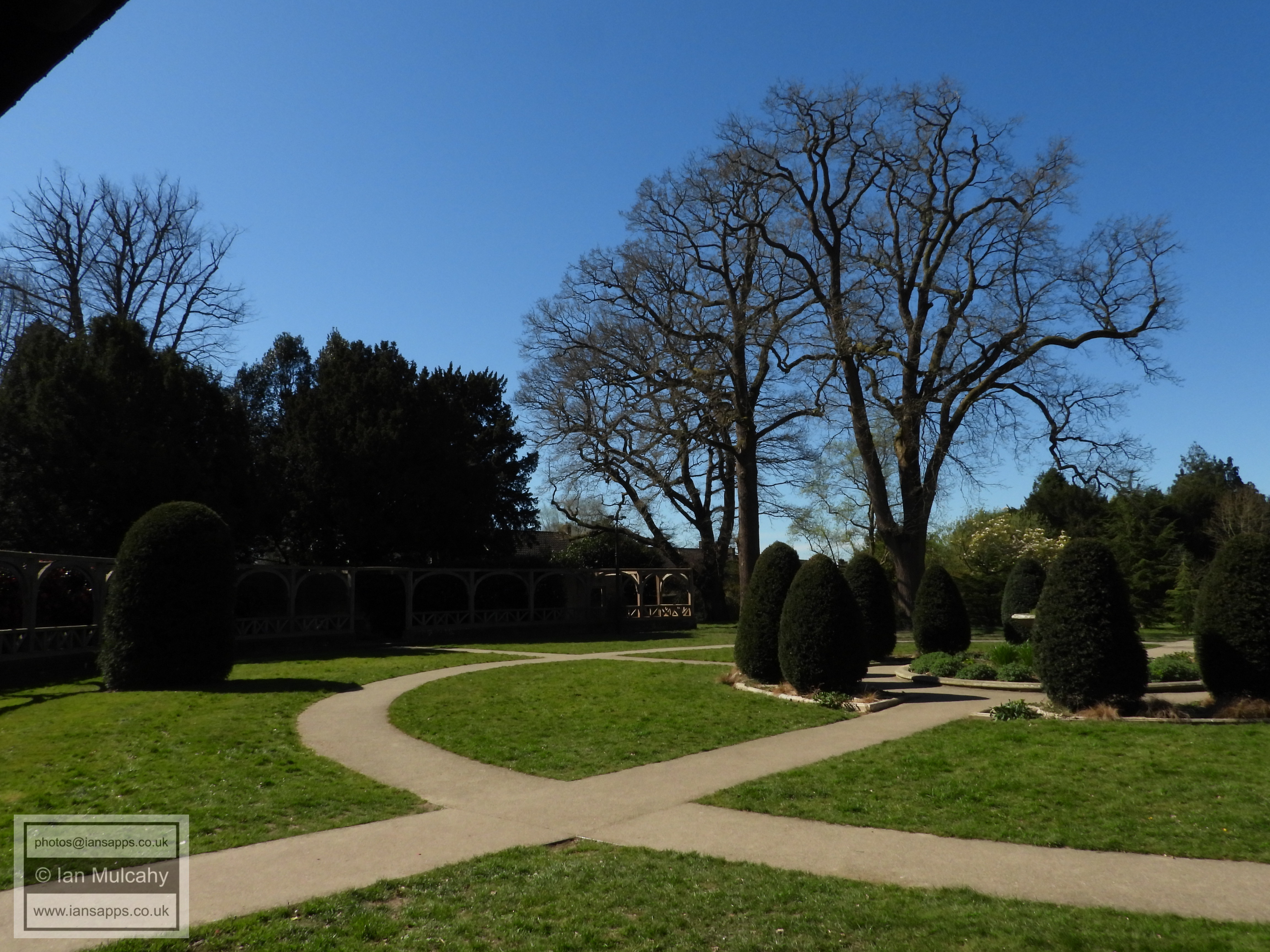
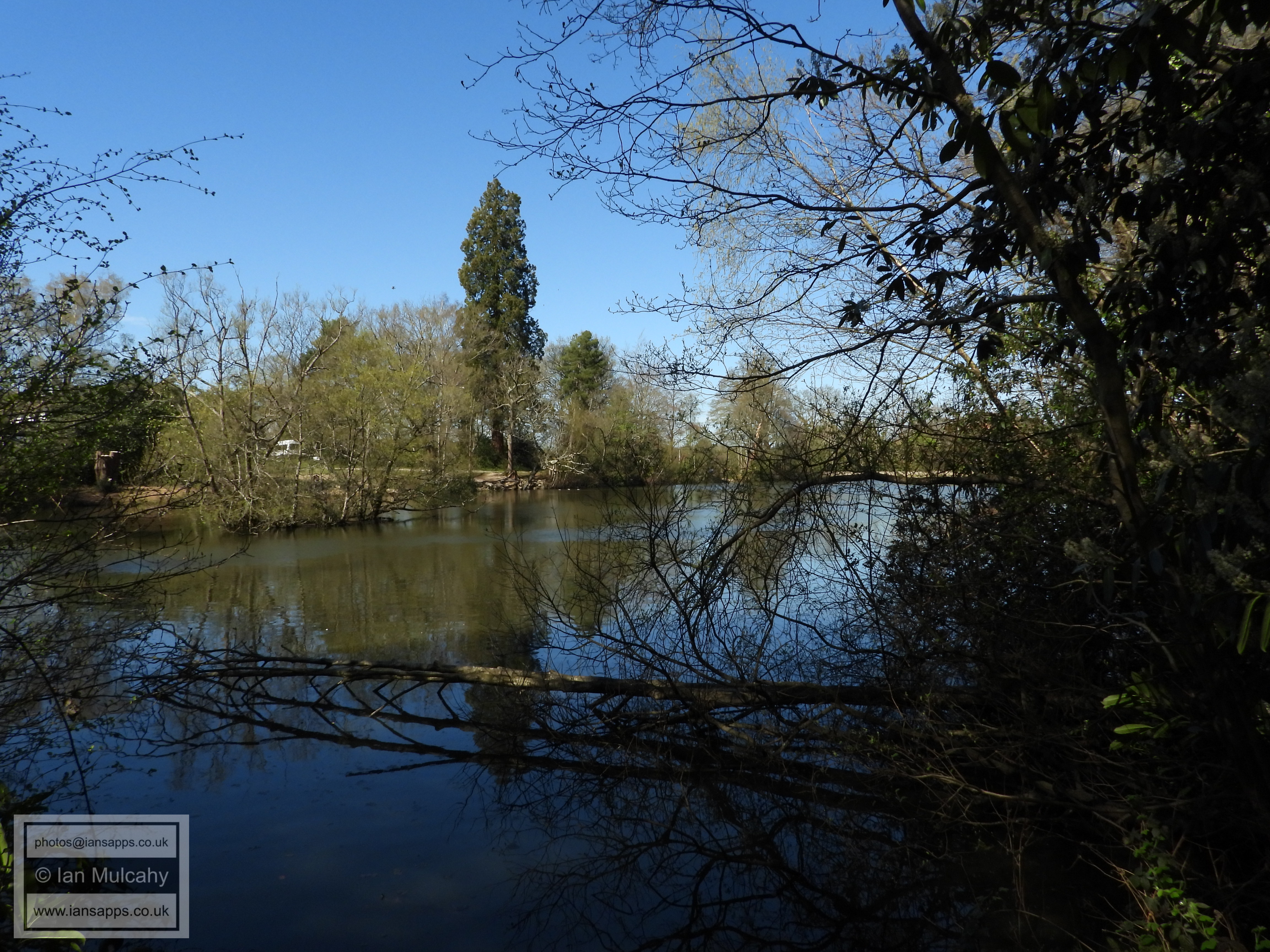
Worth Park Lake
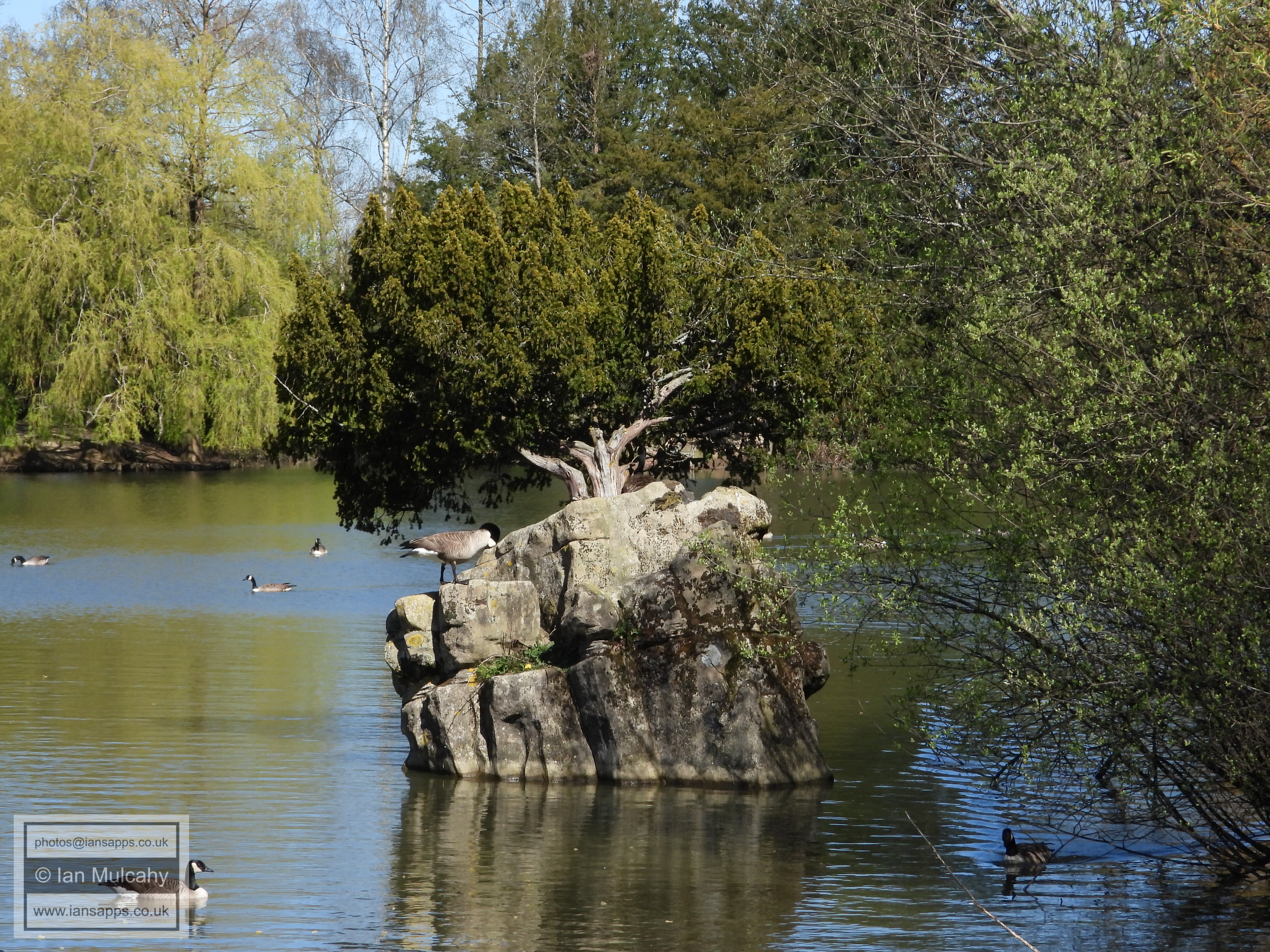
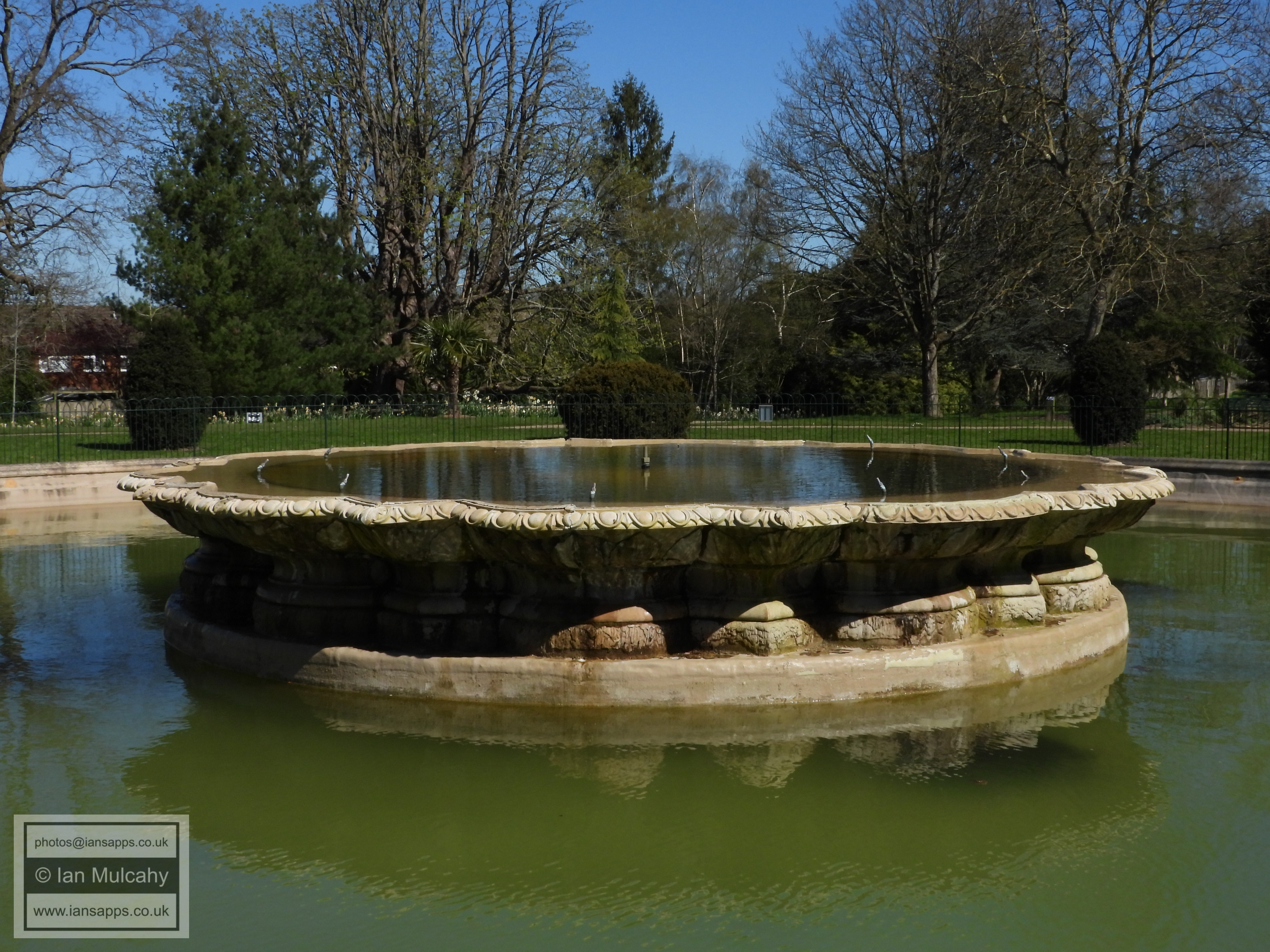
The Pulhamite rock islet in Worth Park Lake, an artificial island constructed c.1884-1887 by the firm of James Pulham and Son as part of the gardens constructed by them for Sir Francis Abraham Montefiore at Worth Park
Worth Park Lake
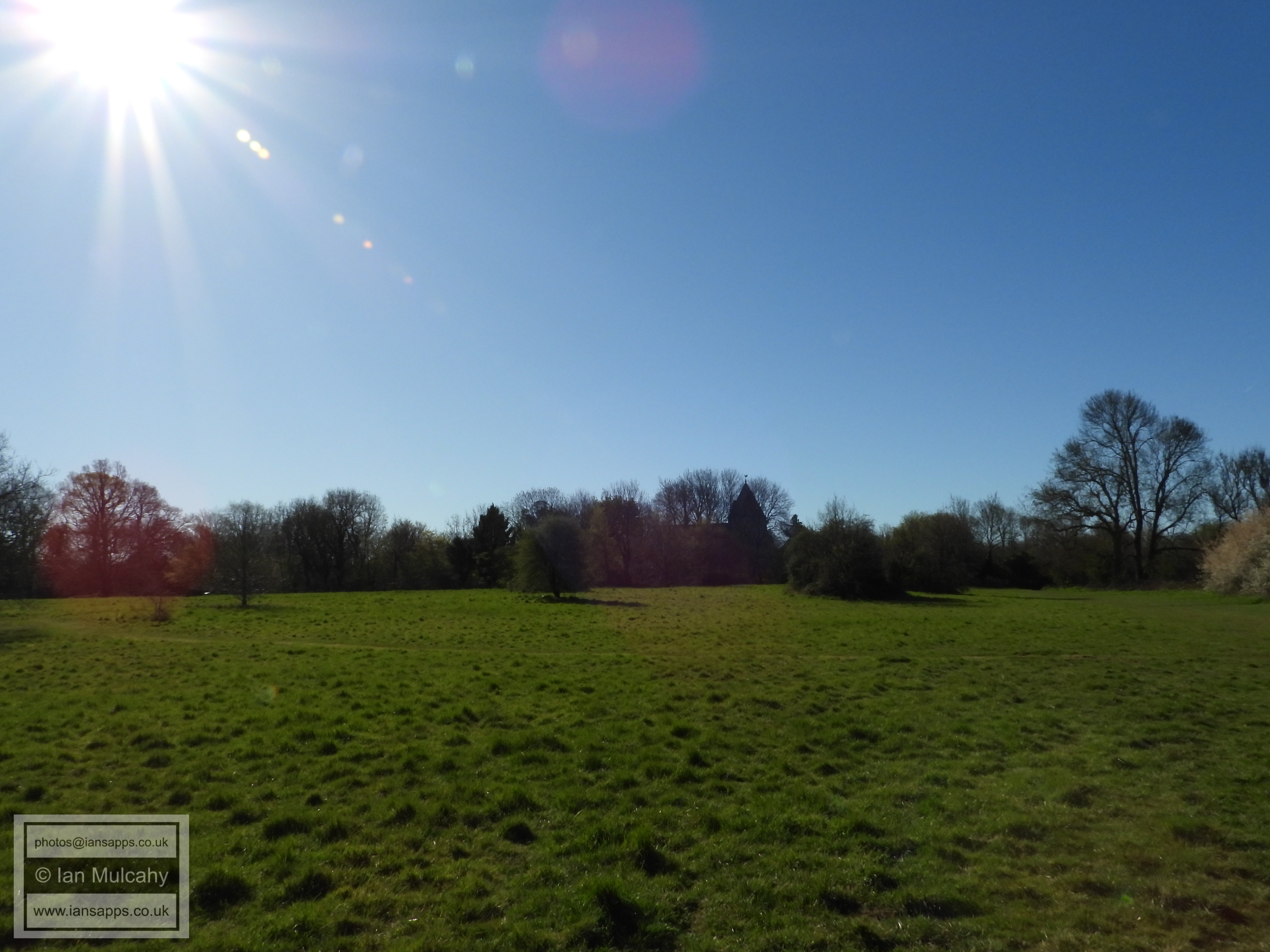
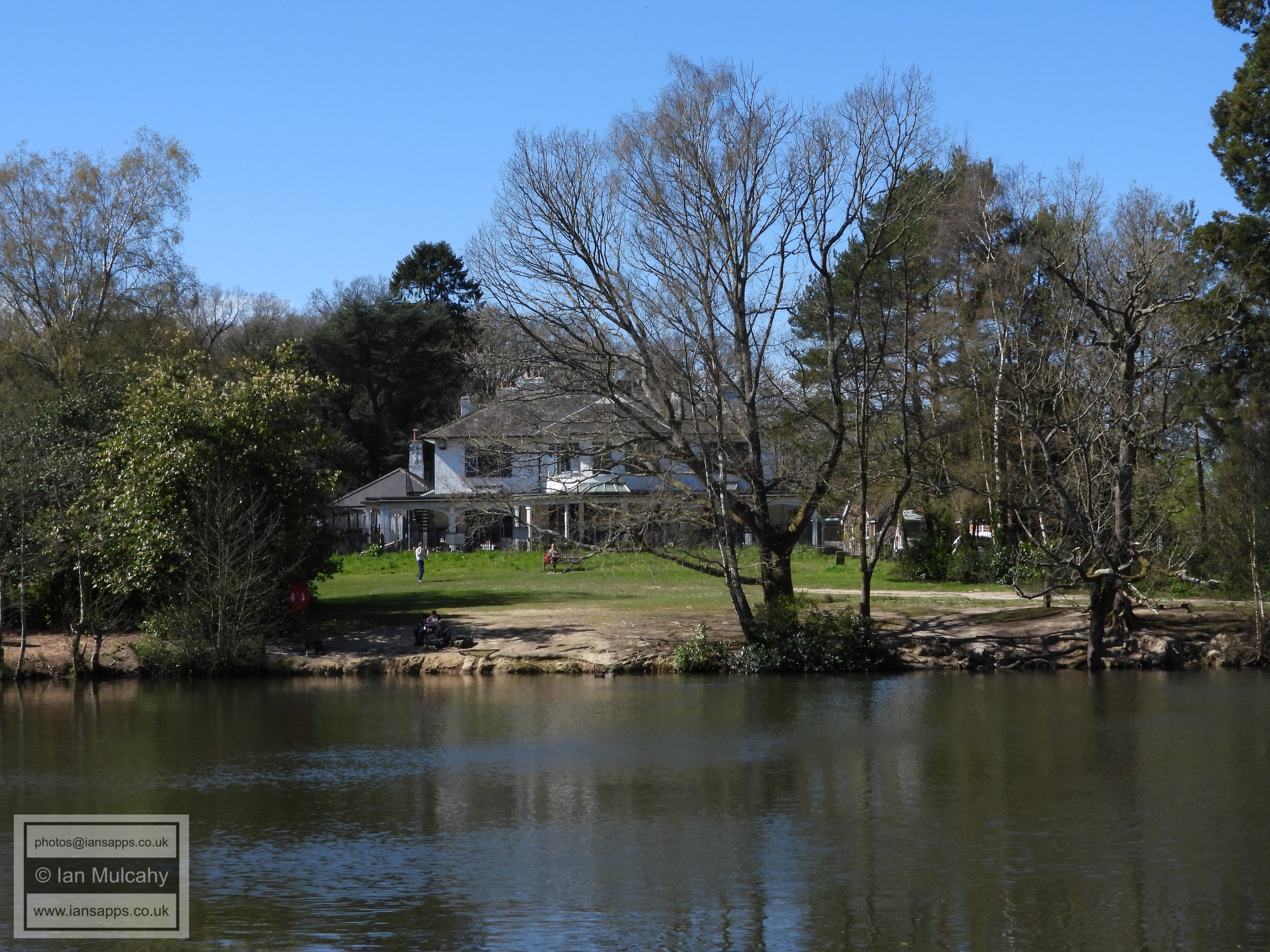
Worth Park
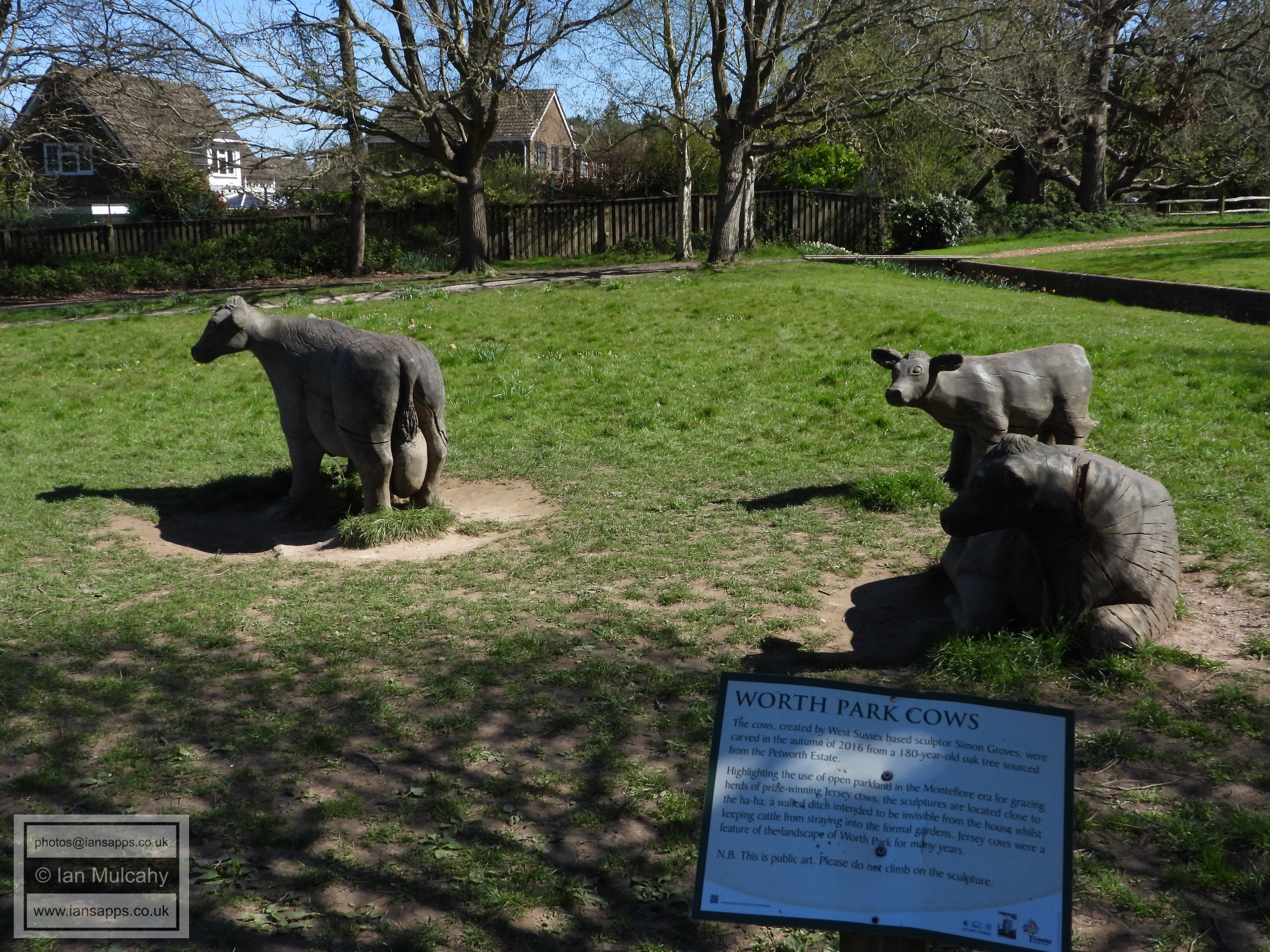
The Worth Park Cows
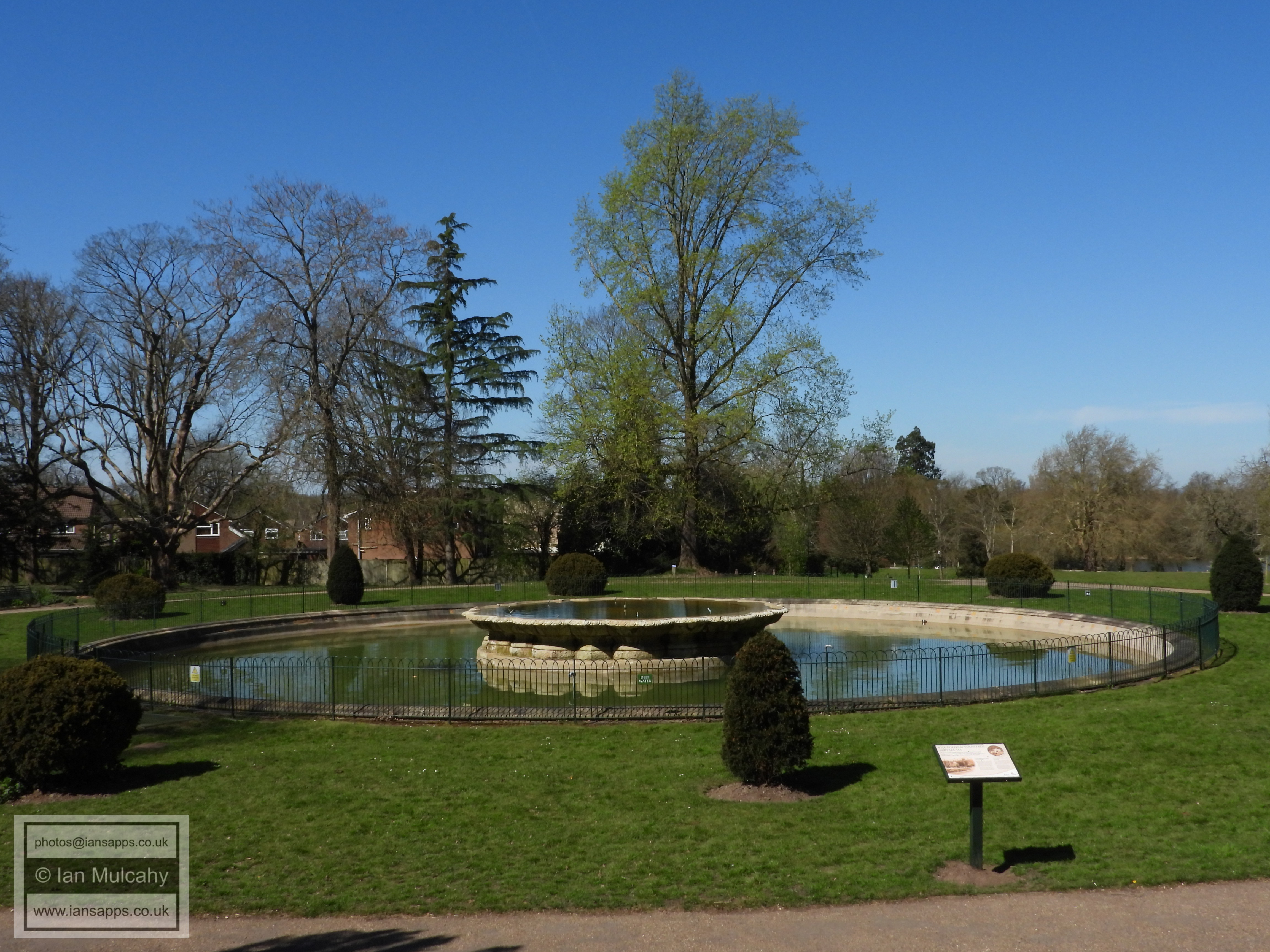
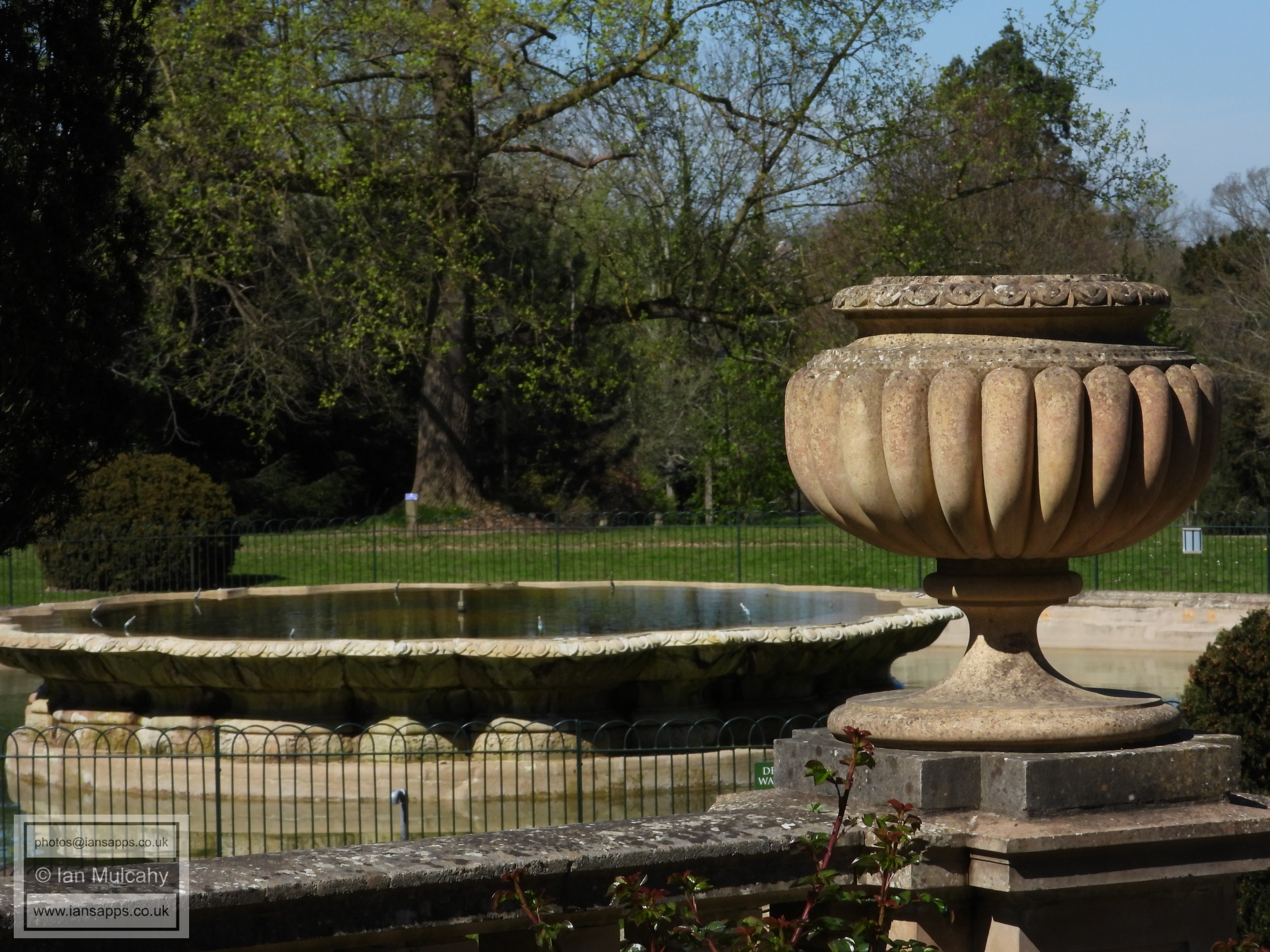
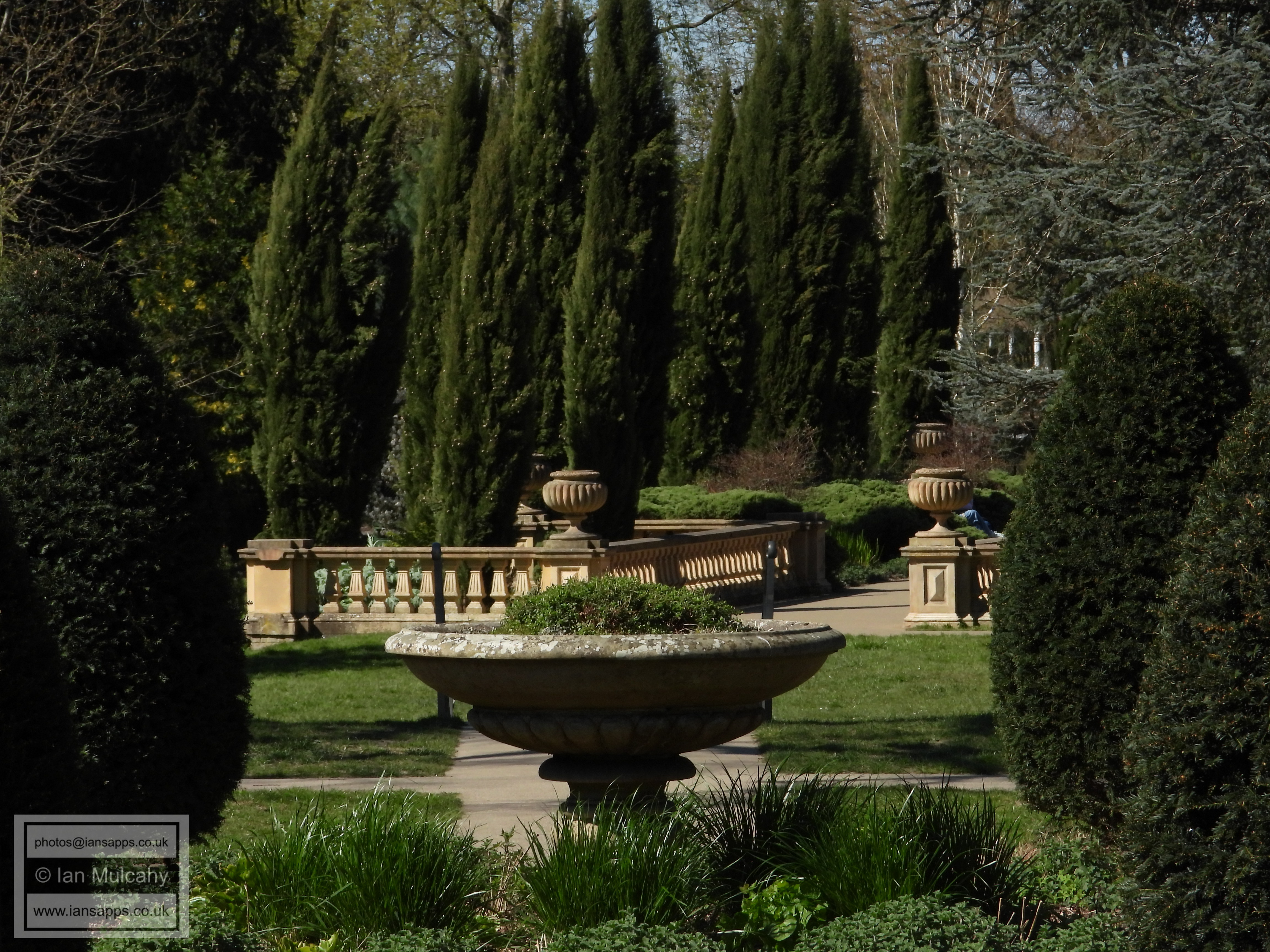
The fountain and pond basin at Milton Mount Gardens constructed circa 1884-87 by the firm of James Pulham and Son as part of the gardens constructed by them for Sir Francis Abraham Montefiore at Worth Park, now overshadowed by Milton Mount Flats
The fountain and pond basin
The fountain and pond basin
The fountain and pond basin
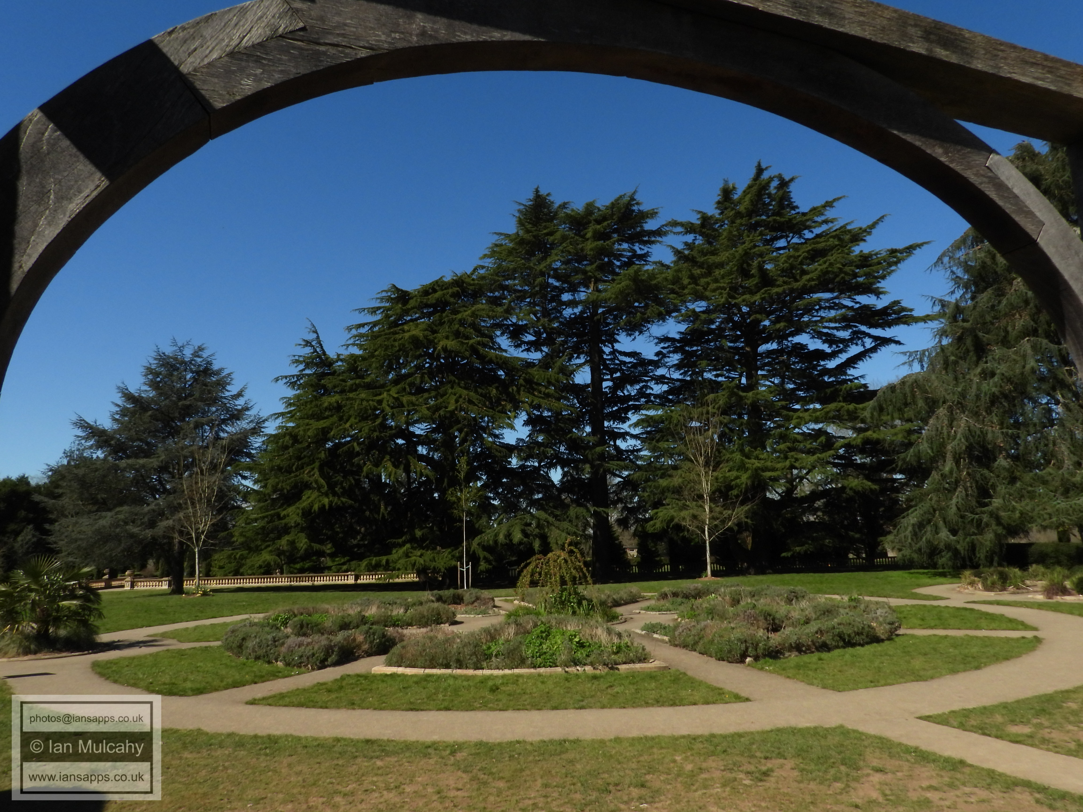
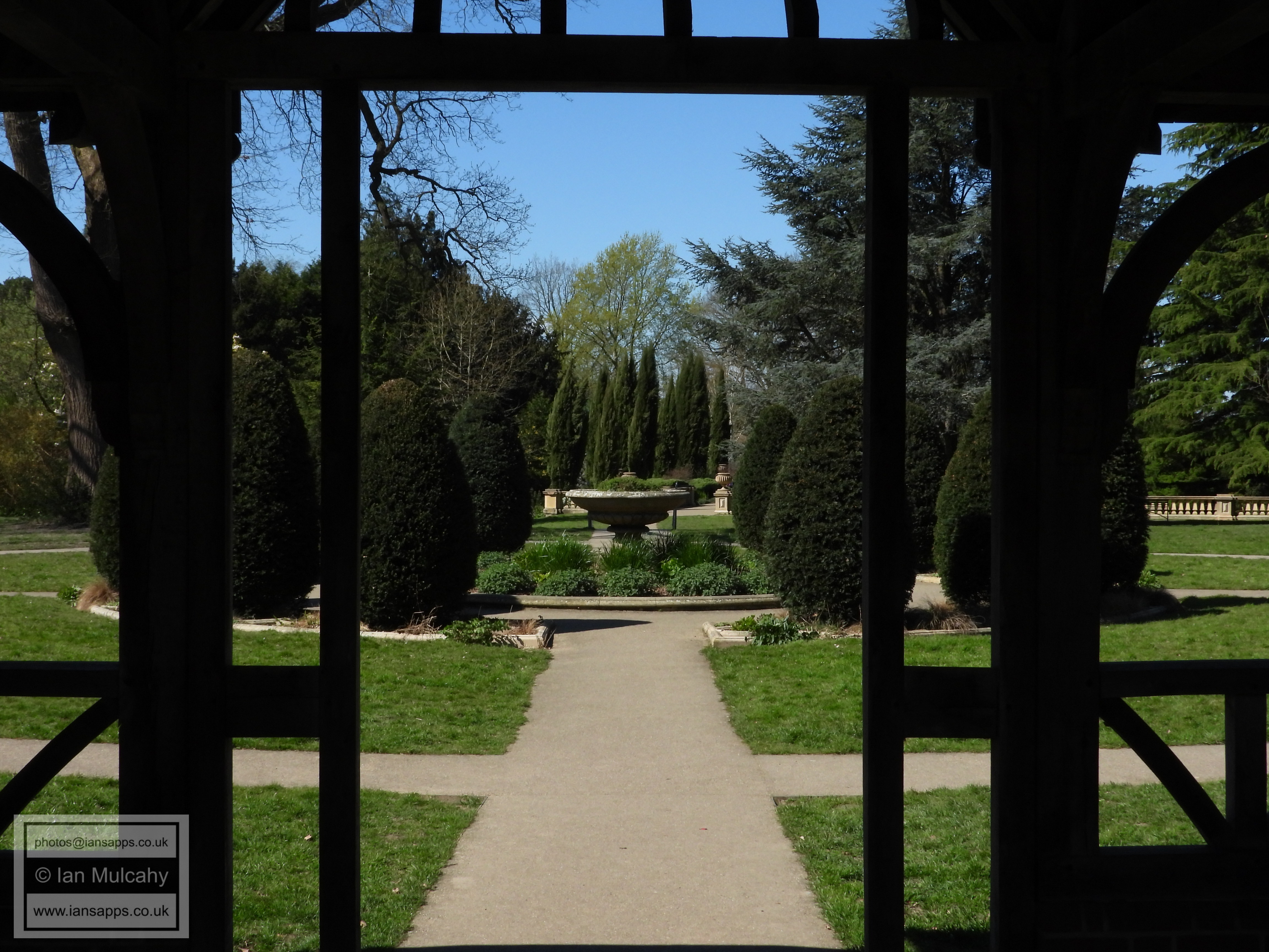
The formal gardens
The formal gardens
The formal gardens viewed through the Victorian Pergola
The formal gardens
Ridleys Court, the former stables to Worth Park which were built in 1882.
The rear of Ridleys Court.
The old wall to the grounds of Worth Park standing alongside the Balcombe Road
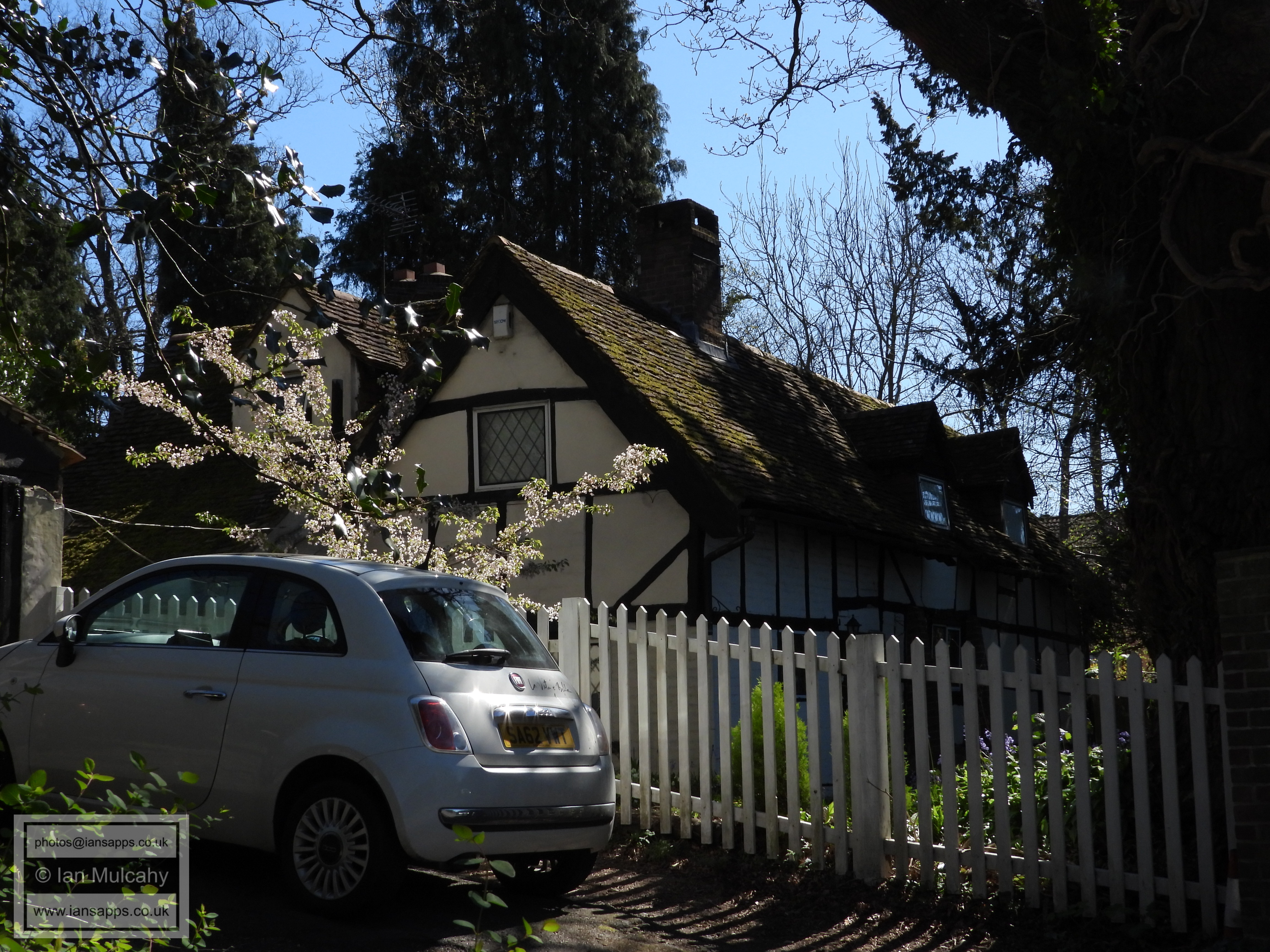
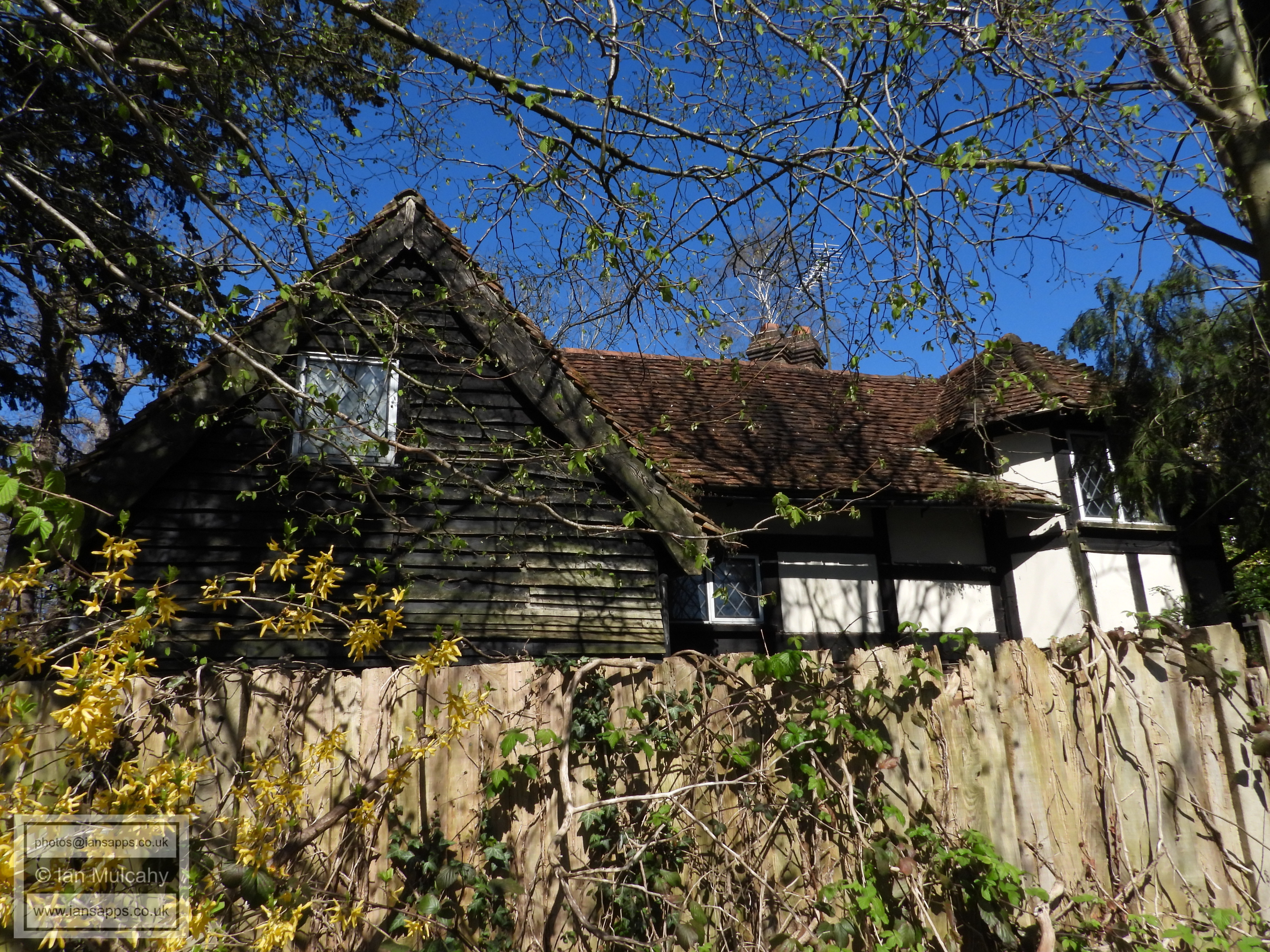
Ridleys, a much extended 17th century farmhouse on Ridleys Corner
The southern aspect of Ridleys
The pathway between Bashford Way and Oakfields, looking northwards
View from The Canter looking towards Byerley Way
The open space to the south-east of The Canter
The open space, looking back towards The Canter
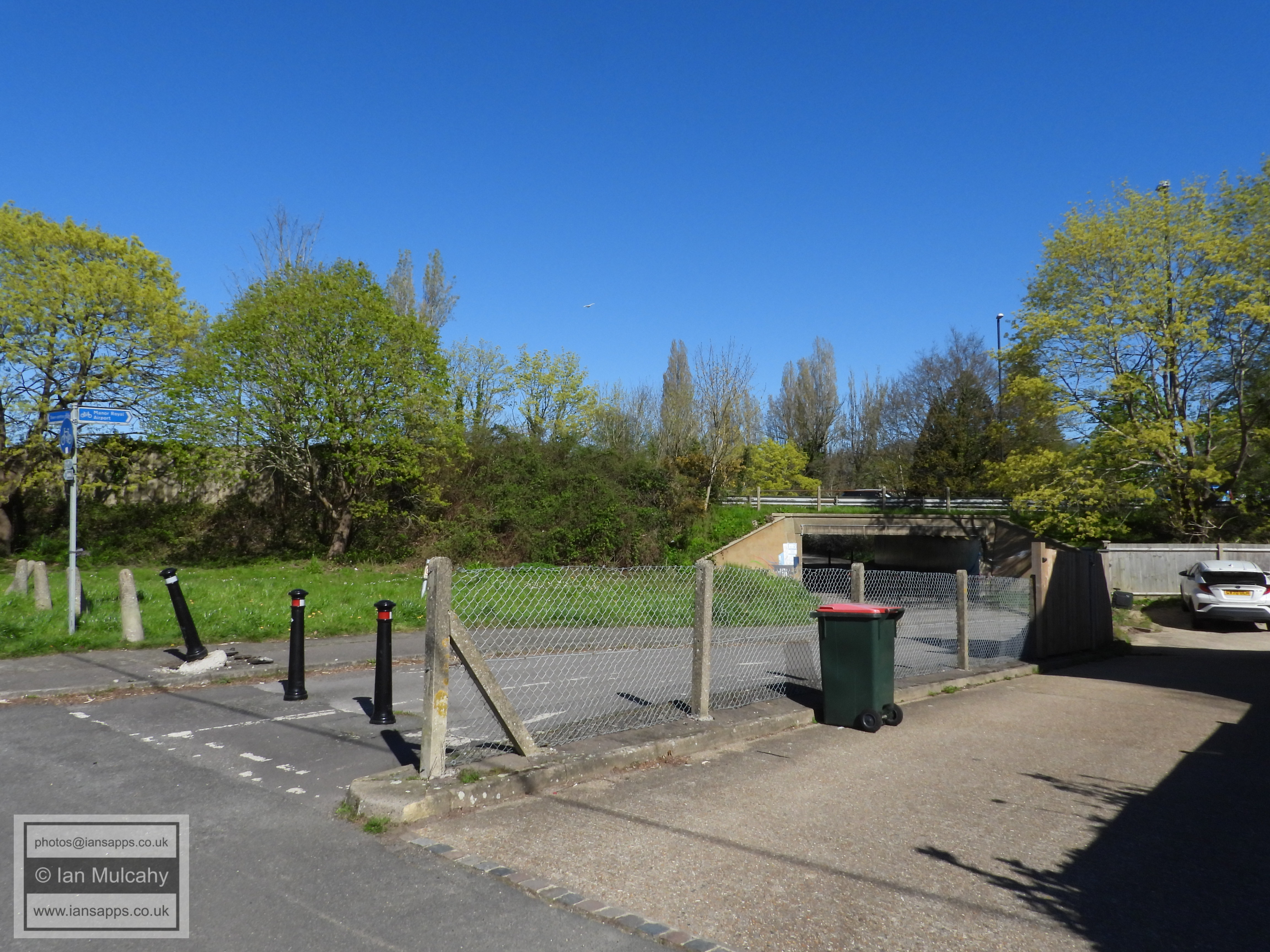
The path alongside the motorway
The path alongside the motorway
Looking north-westwards towards the end of Lingfield Drive
The former driveway from South Lodge to Crabbet Park
The former driveway from South Lodge to Crabbet Park
The former driveway from South Lodge to Crabbet Park
The former driveway from South Lodge to Crabbet Park
The South Lodge and former driveway to Crabbet Park
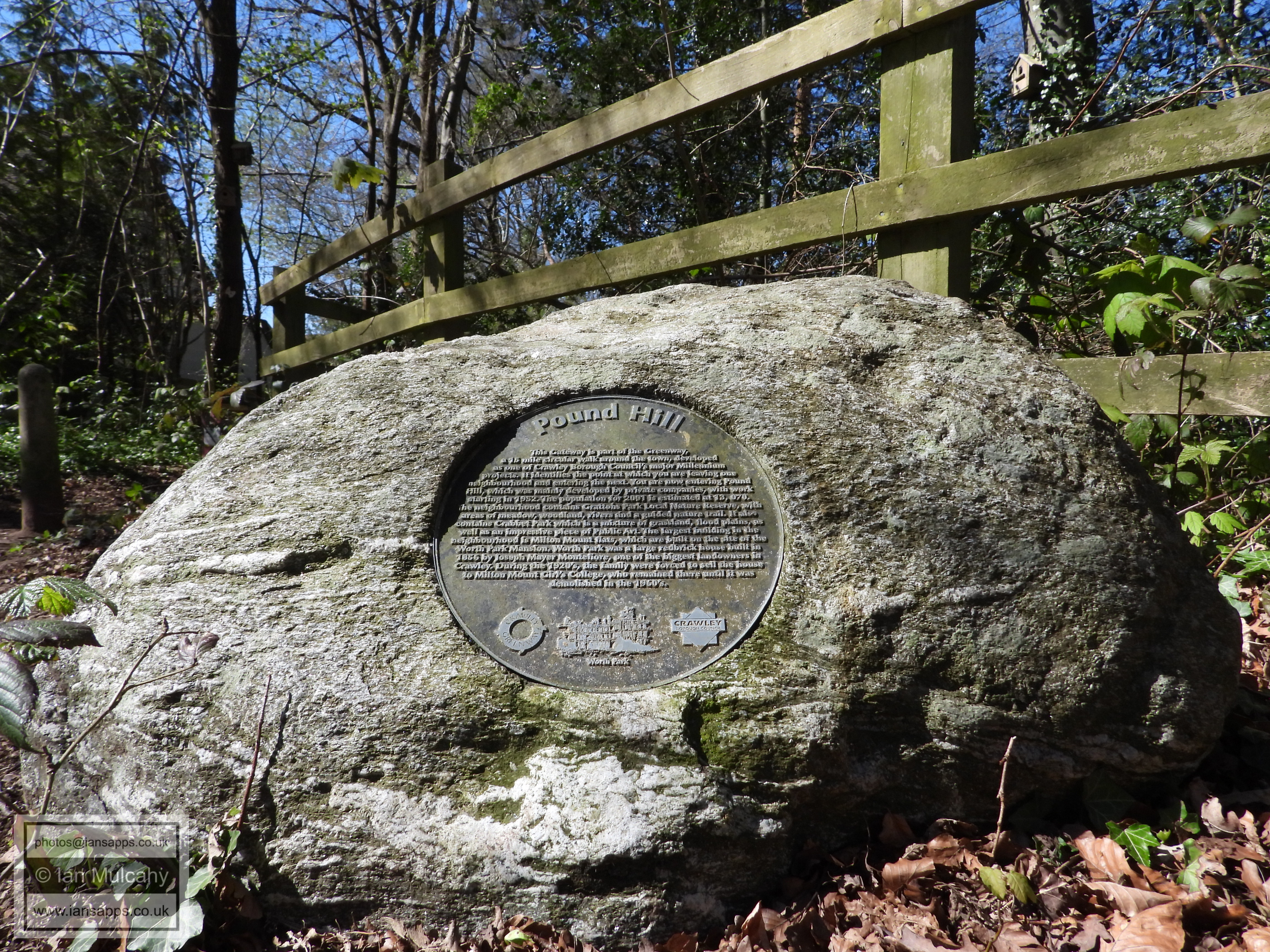
PART FOUR - WORTH TO BROADFIELD PARK
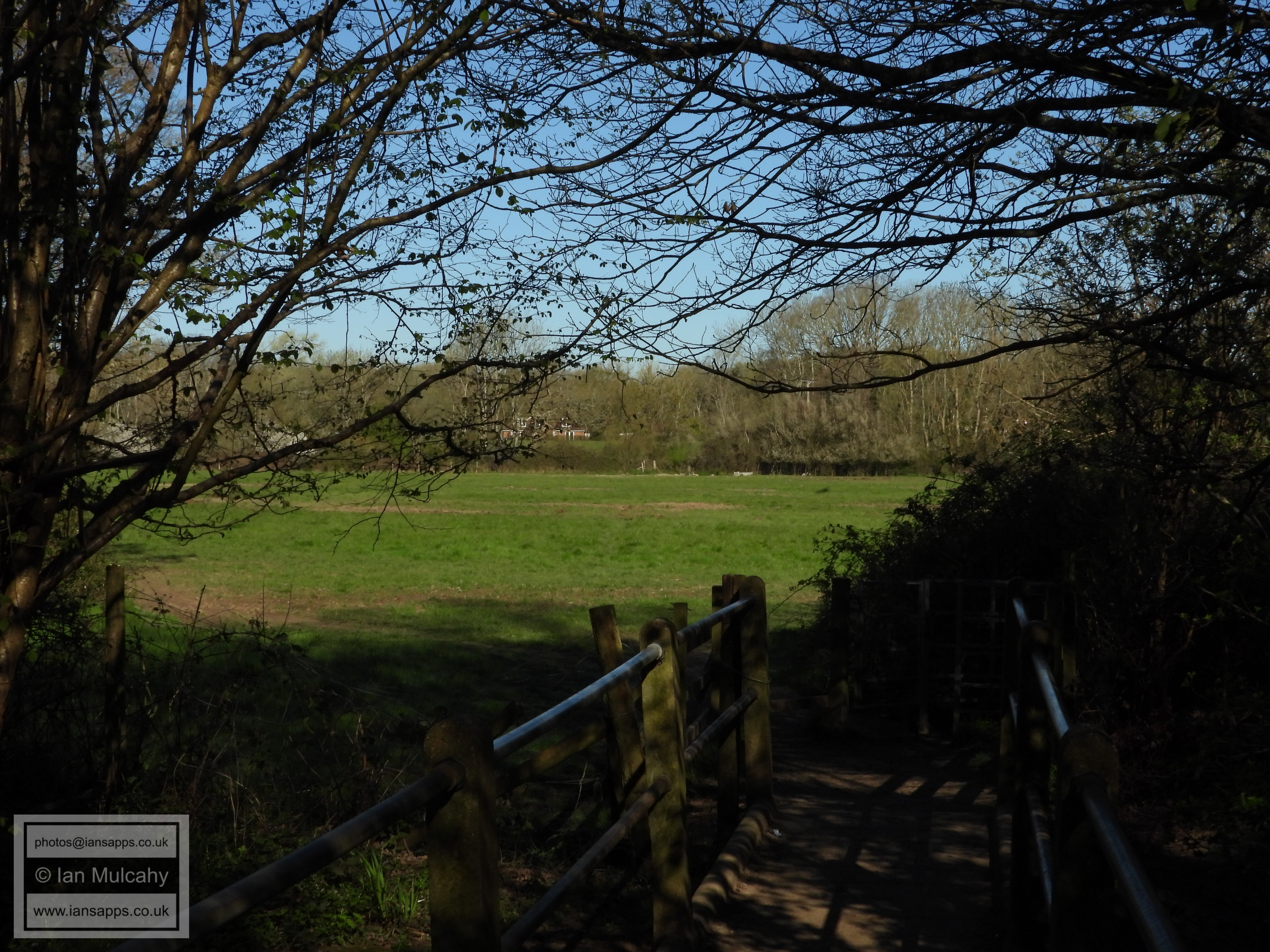
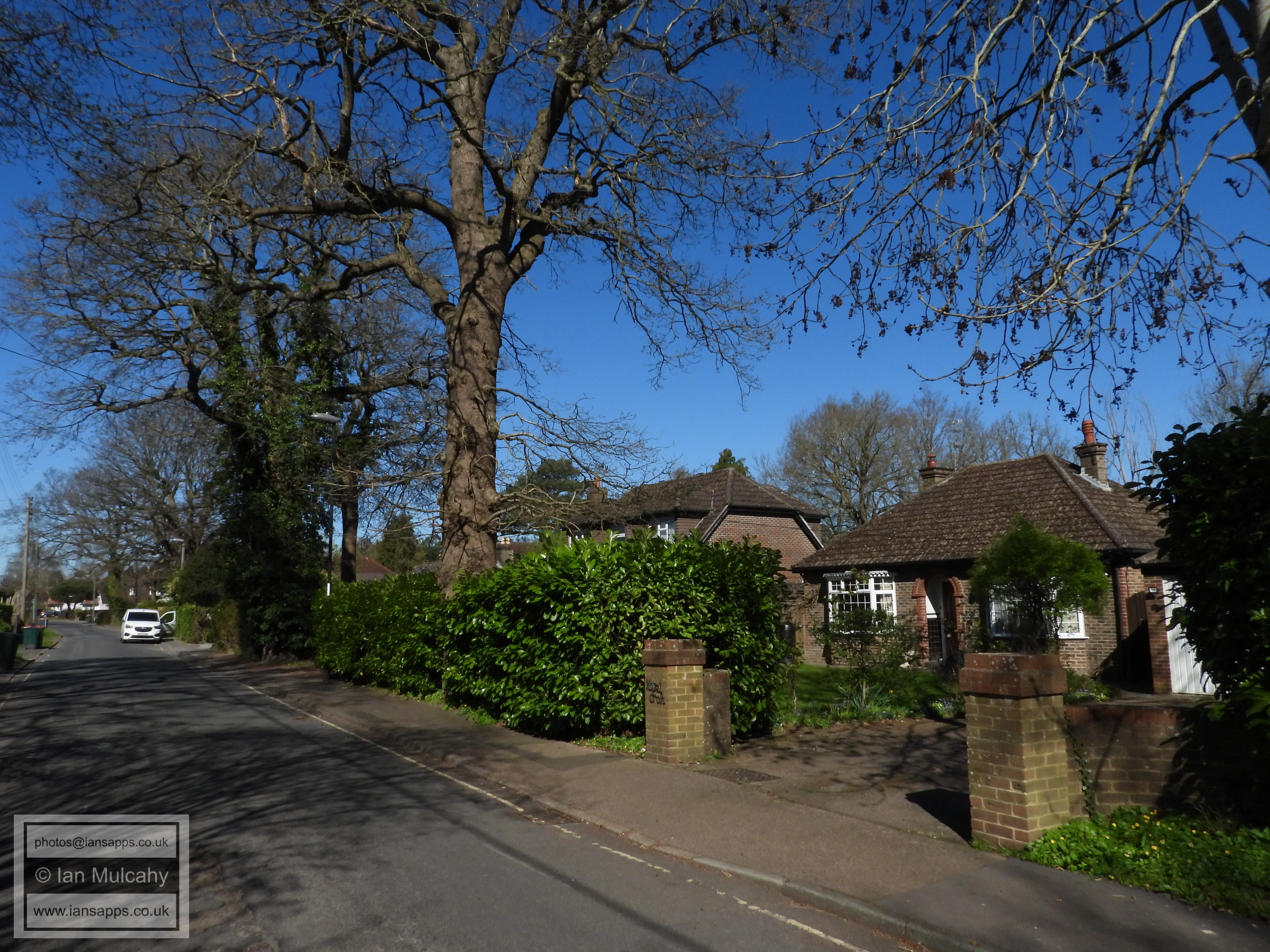
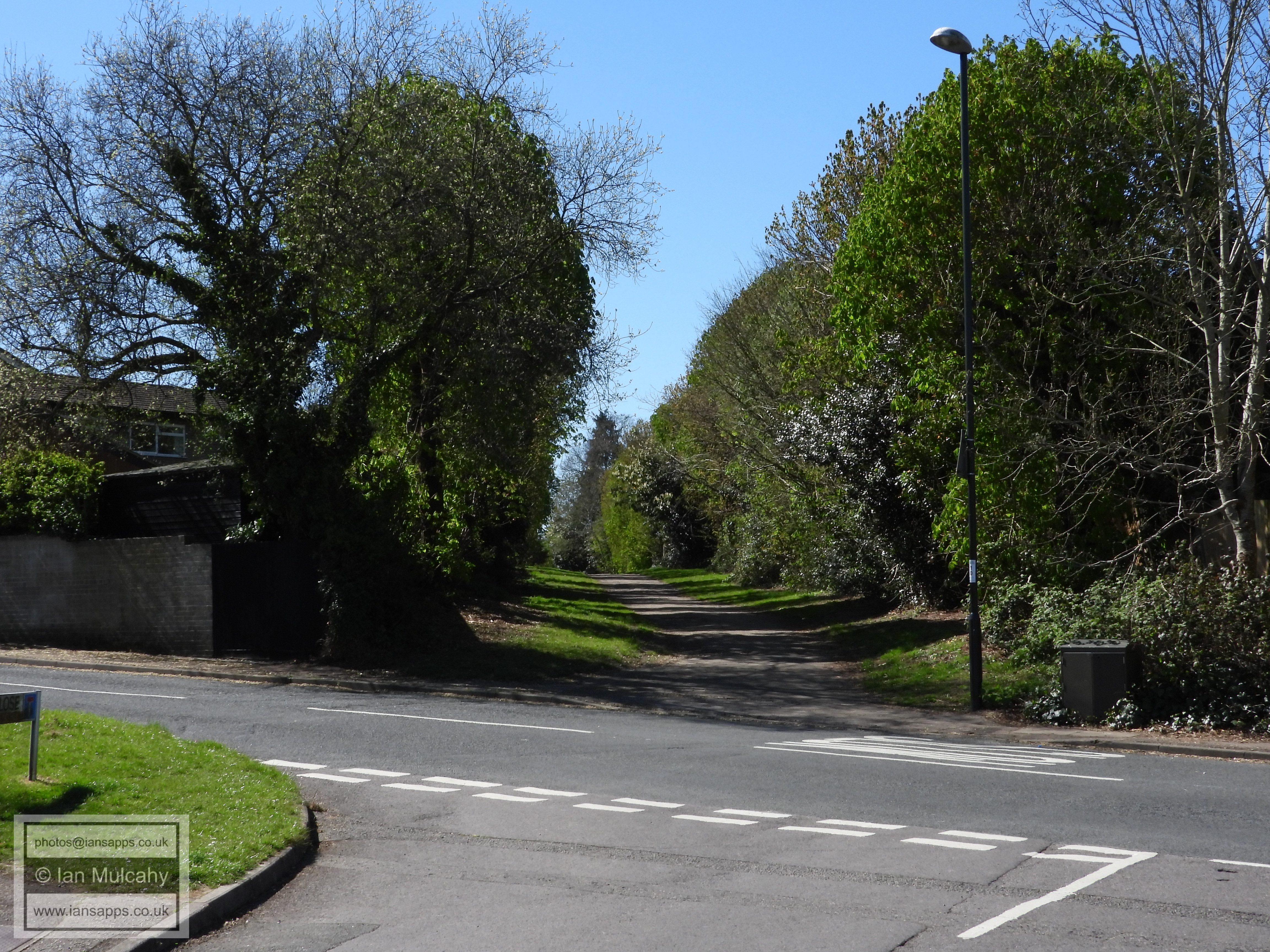
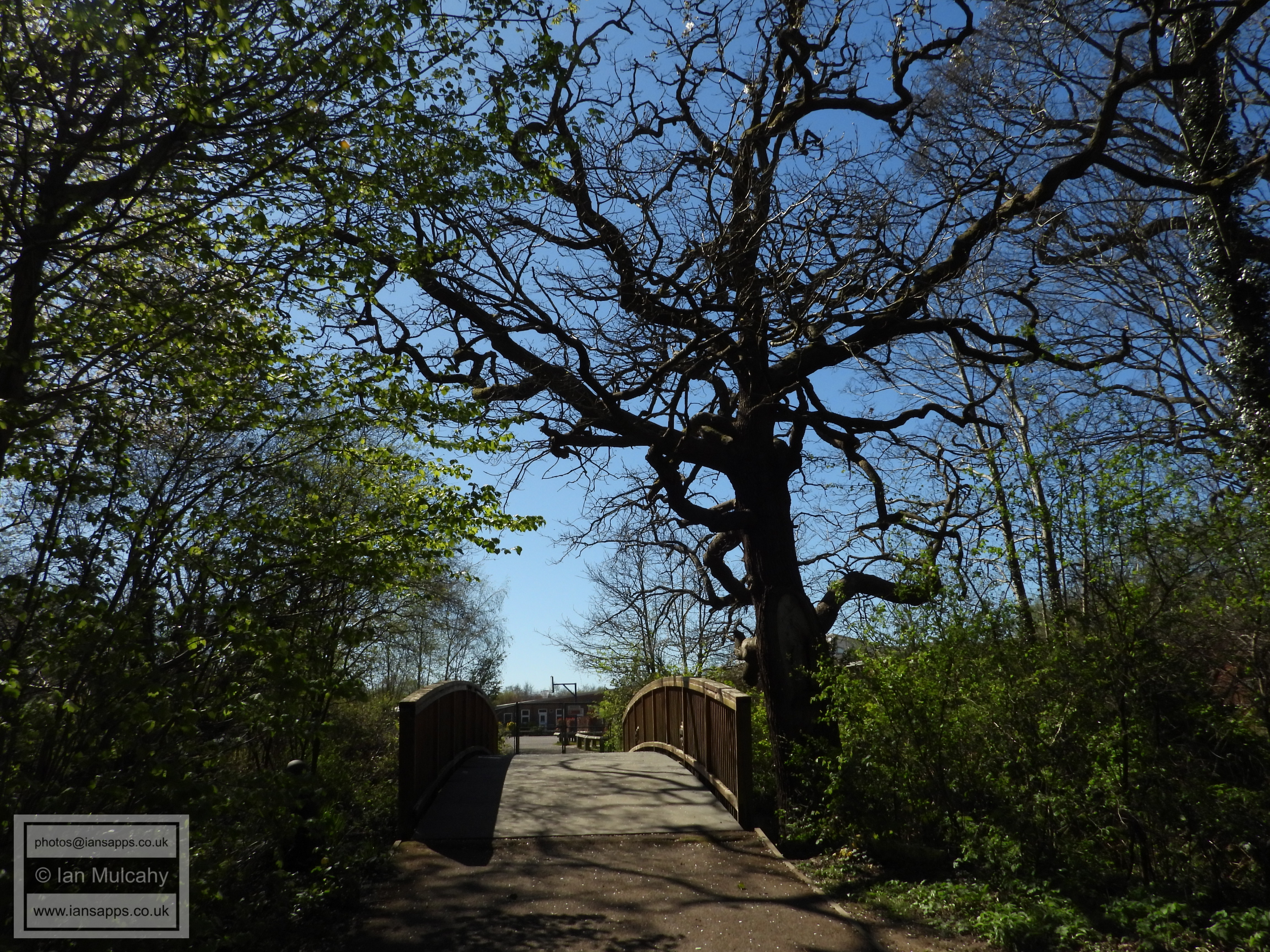
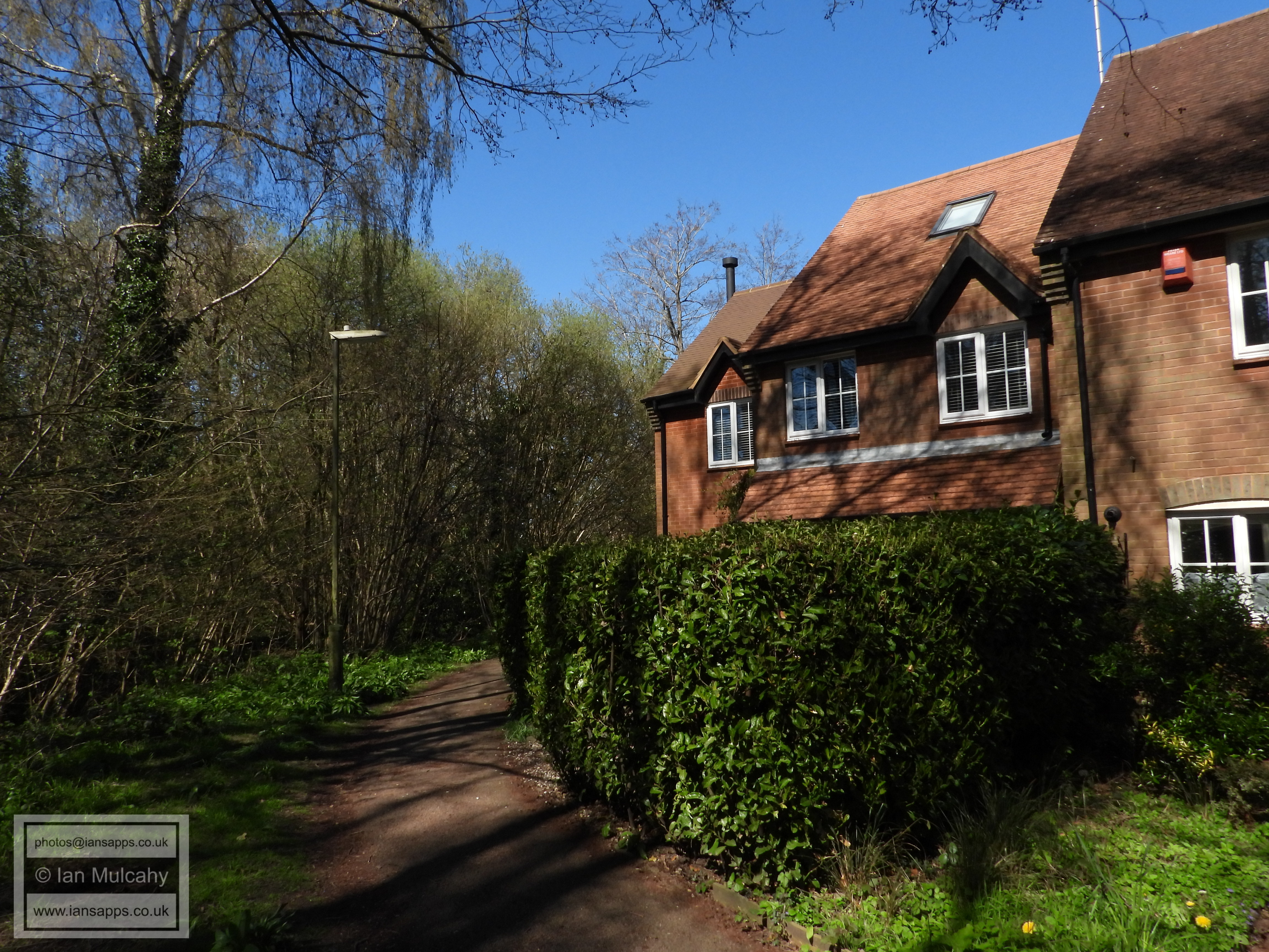
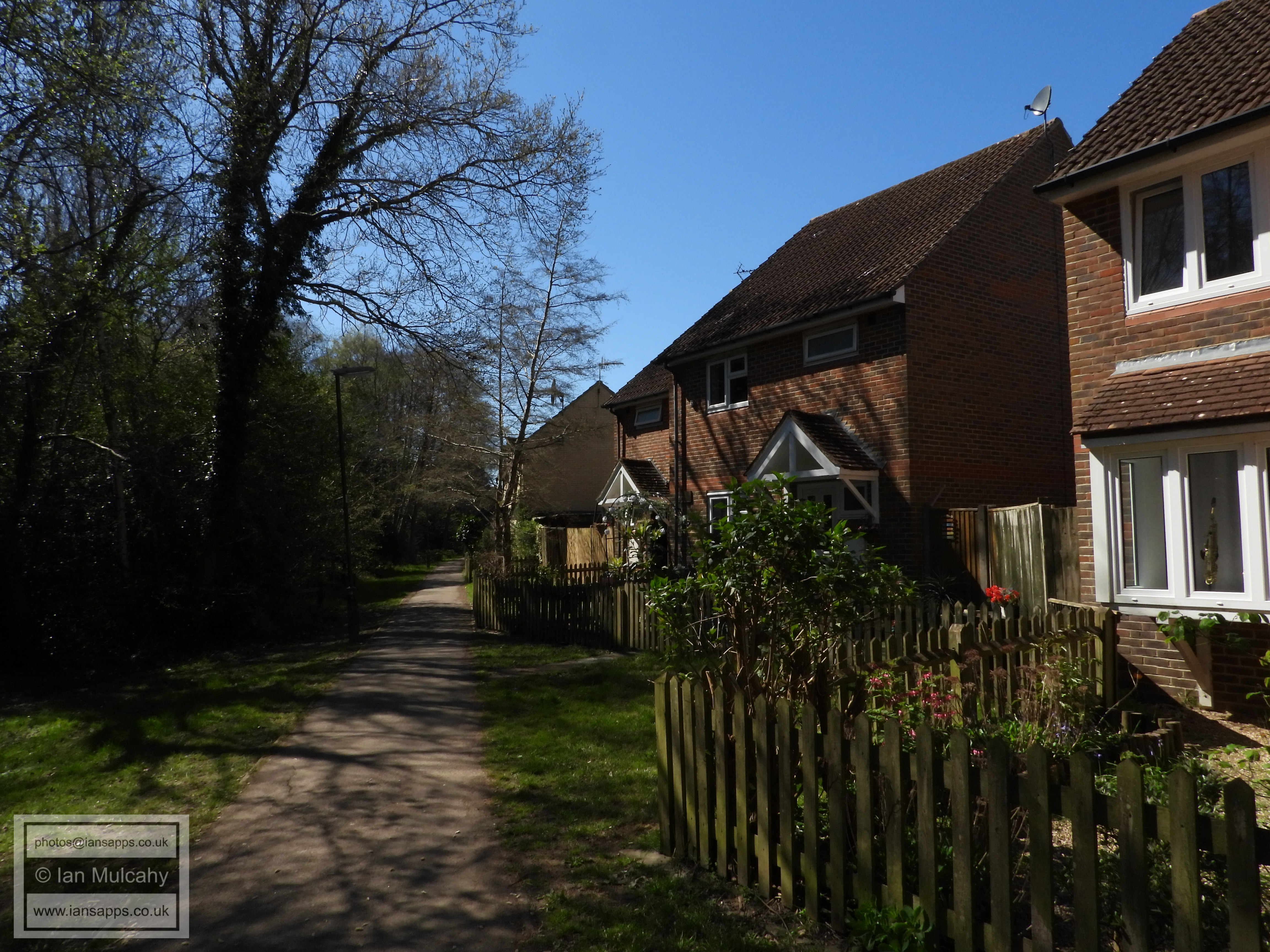
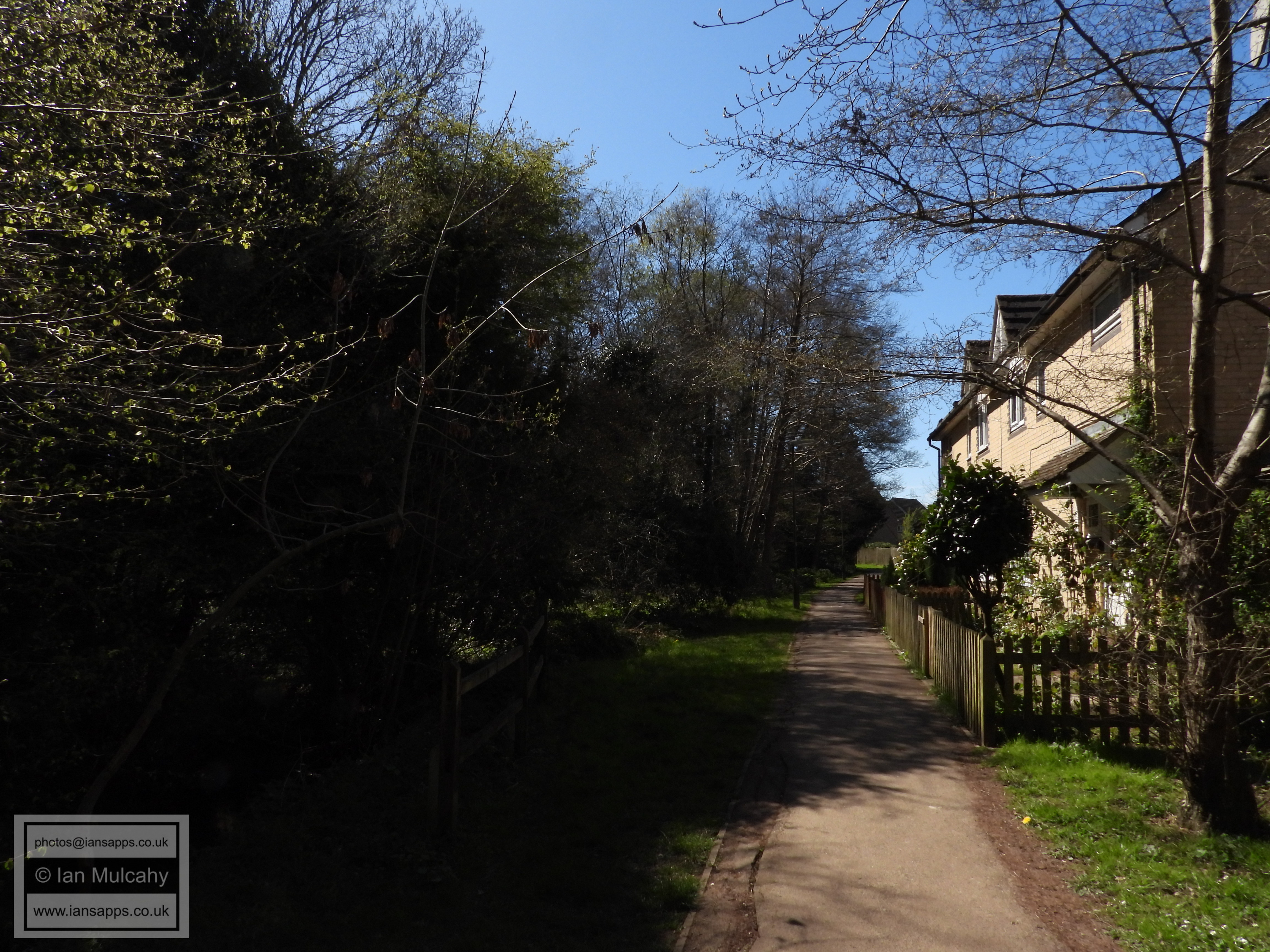
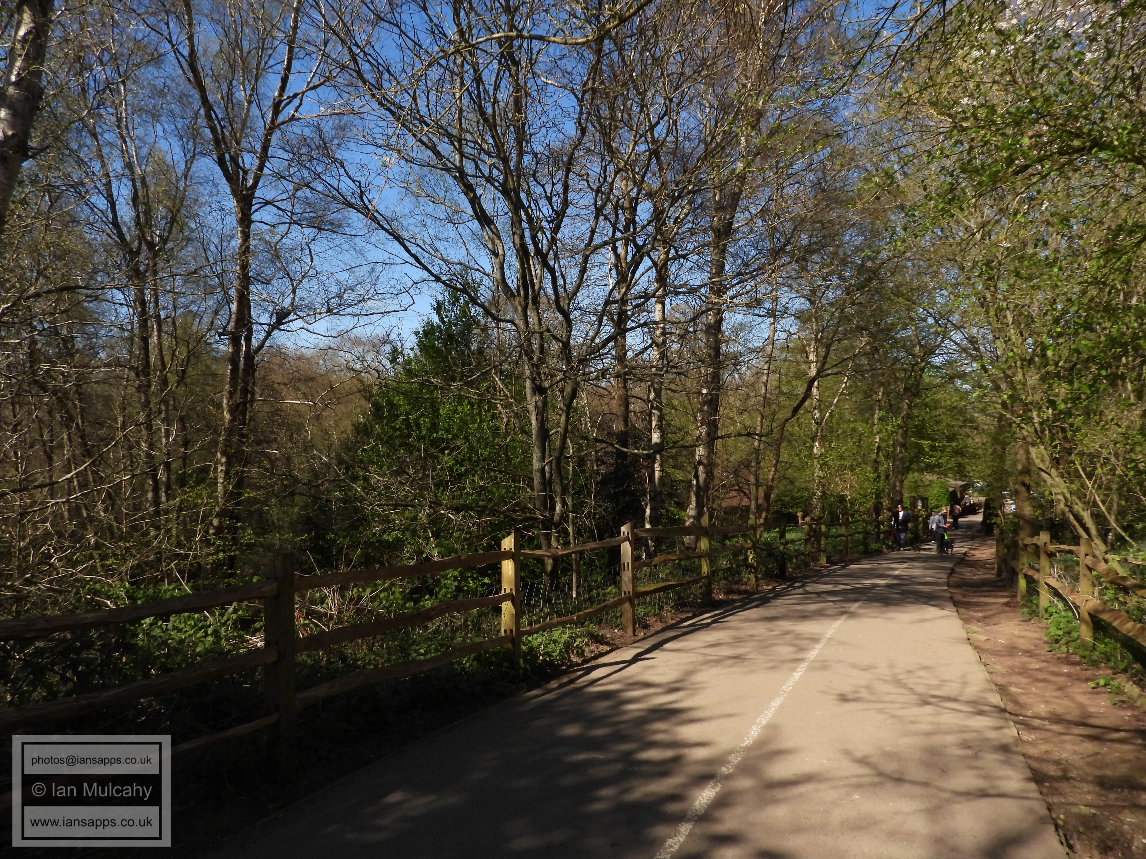
On crossing Turners Hill Road, go straight ahead into Church Road and continue straight ahead when it becomes Street Hill. Keeping to the path on your left, continue alongside Balcombe Road until you get to the lights, which you should use to cross and then take the path to the right of the stream to enter Maidenbower.
Follow this path, known as Cranmer Walk, alongside the stream until you reach Maidenbower Drive, where you should cross the road, turn right and then almost immediately left to rejoin the stream-side path. Keep to the left when the path splits after passing the school and keep going until you reach another section of Maidenbower Drive, near the playing fields, which you should cross and continue straight ahead alongside the stream. Keep going straight ahead until you come to Matthews Drive.
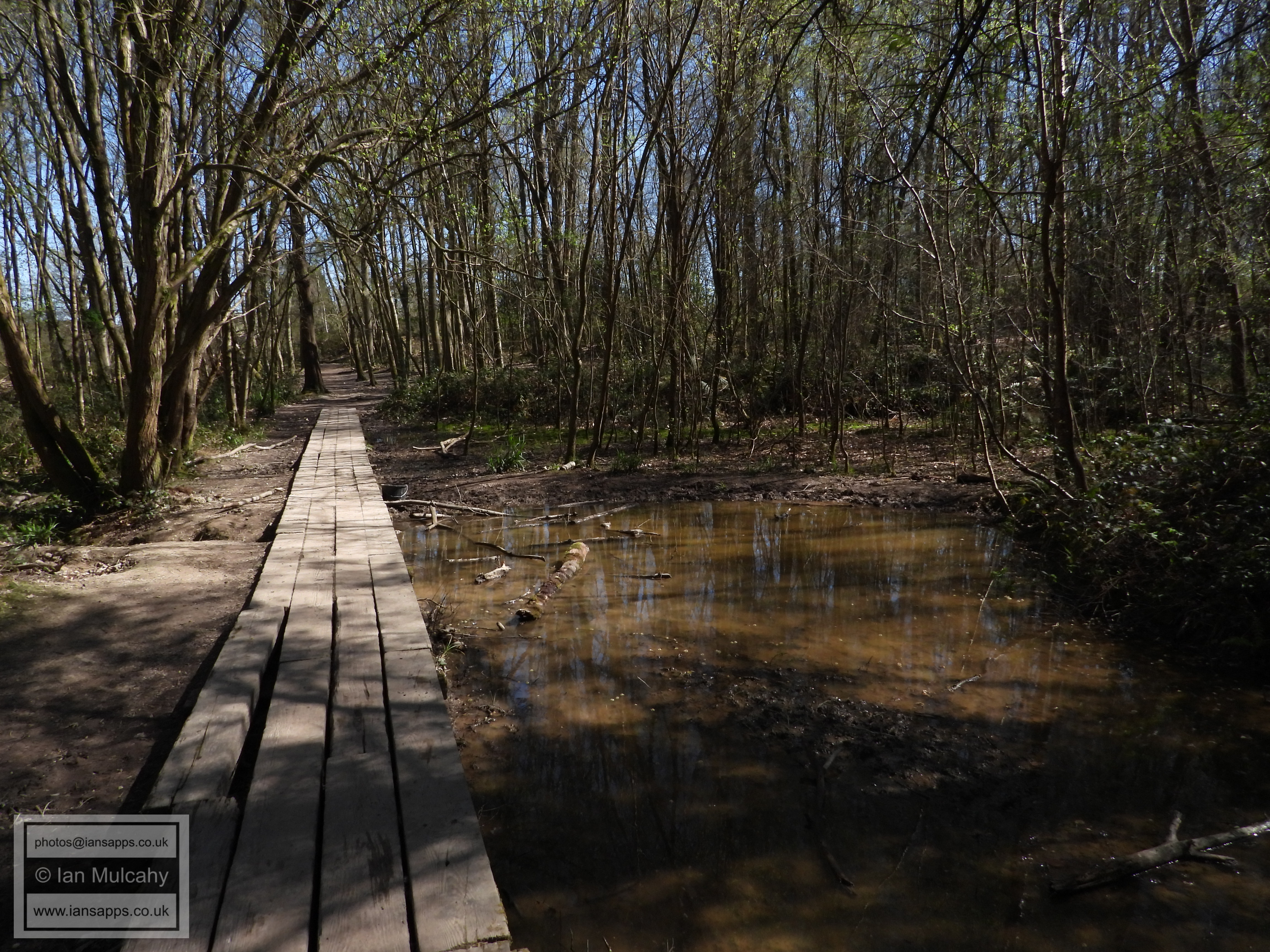
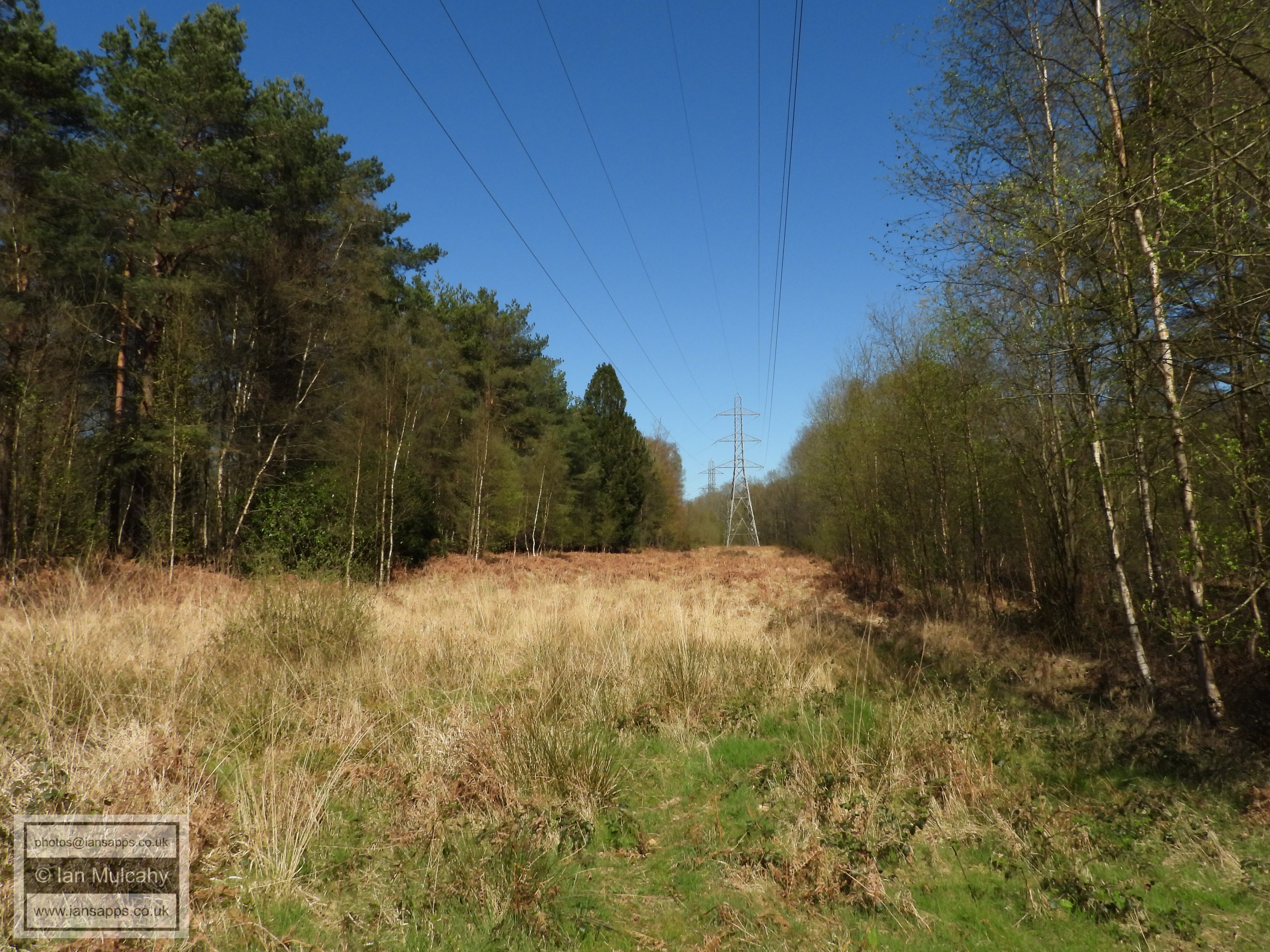
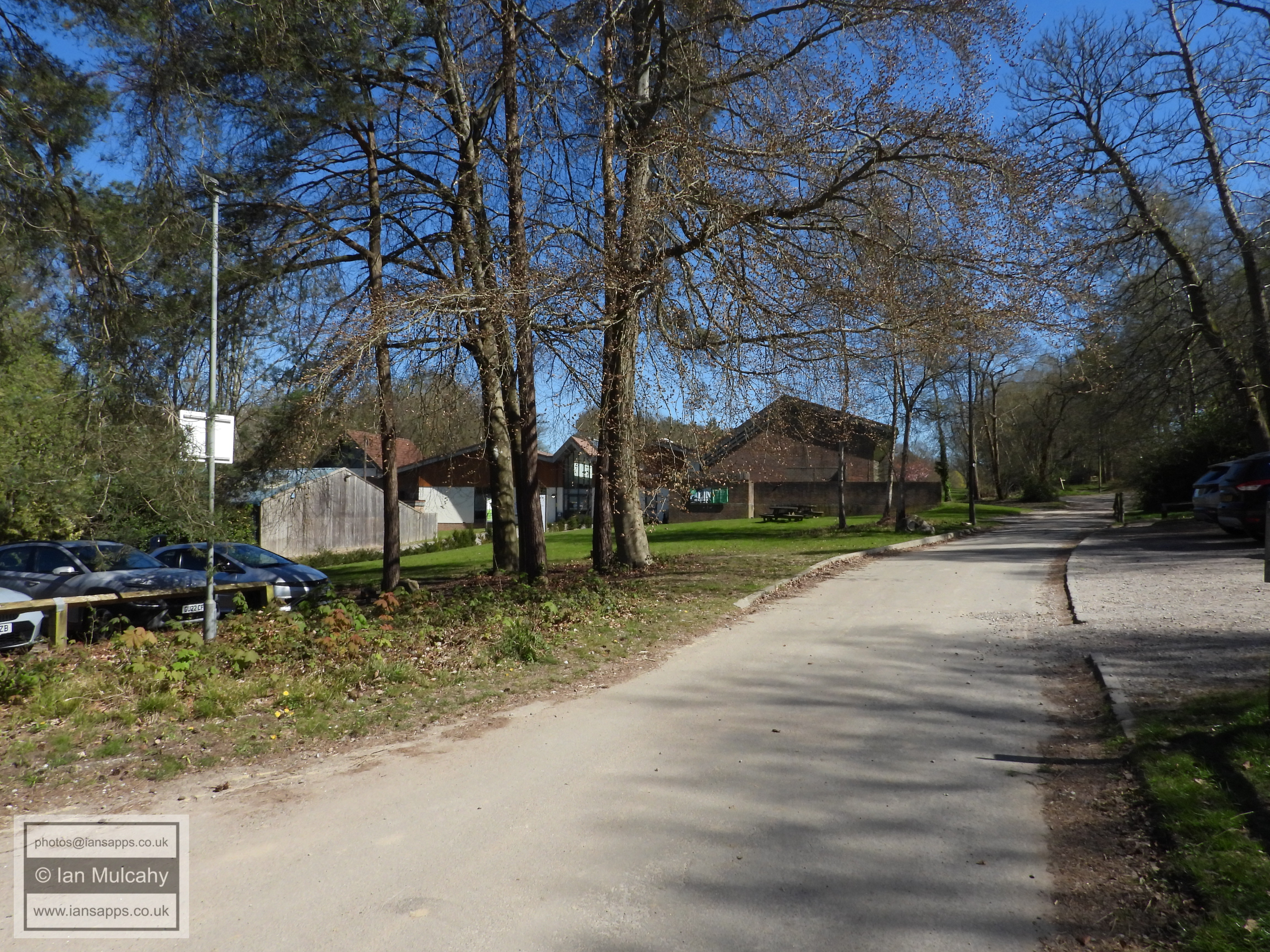
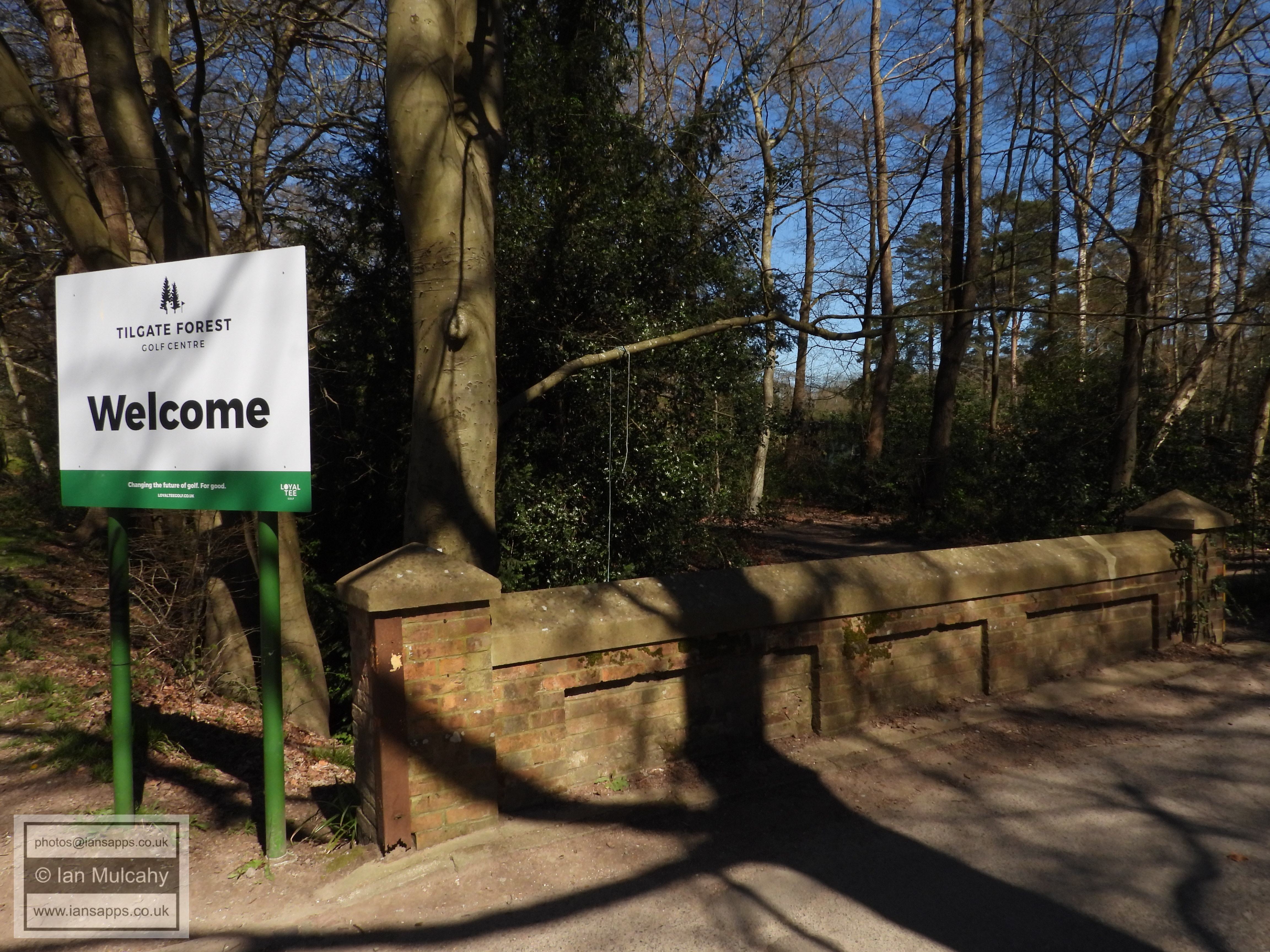
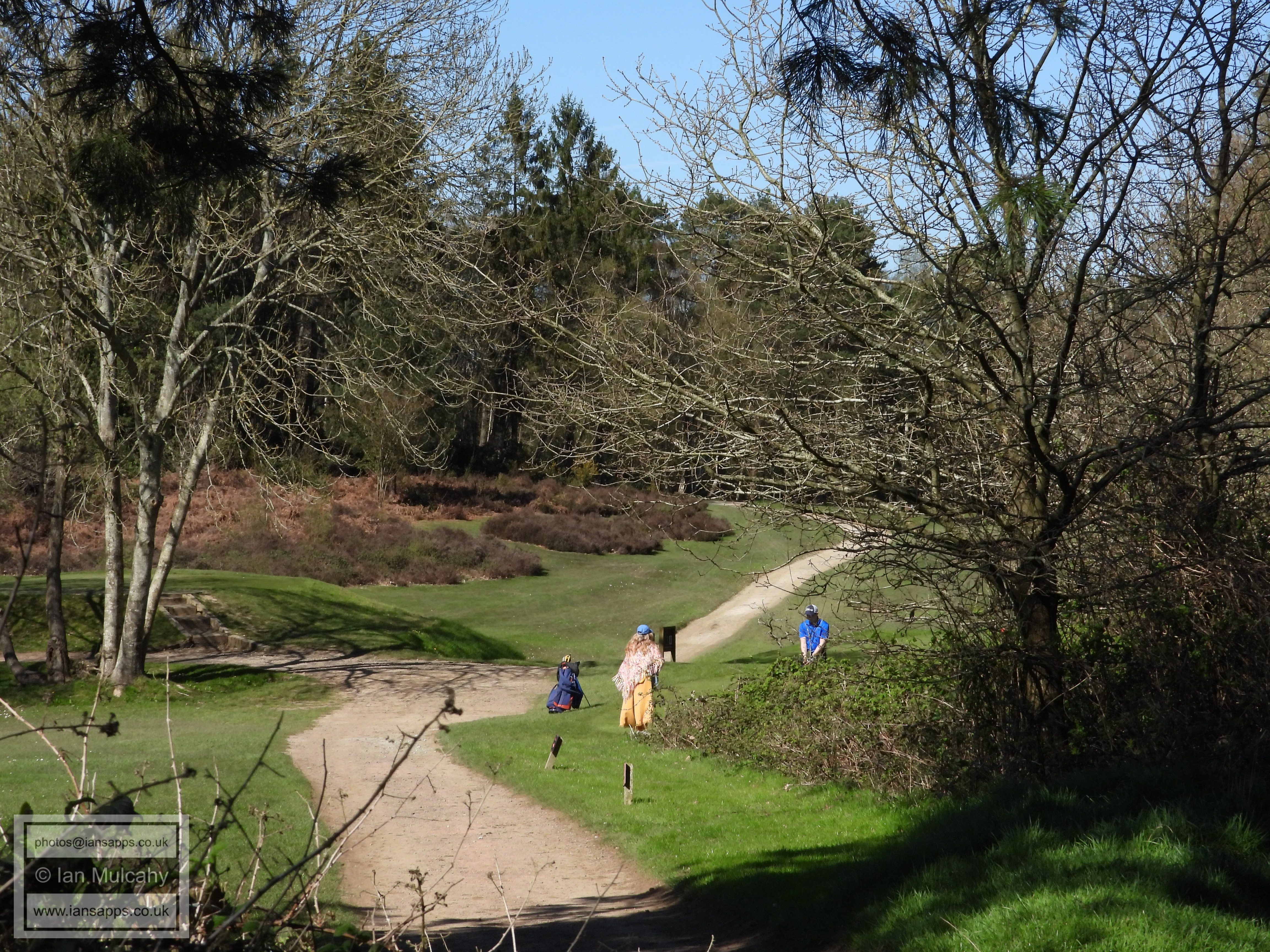
On reaching Matthews Drive, turn left and cross the road as soon possible, and then turn right into Palmers Road and then straight on into Holder Road. At the far end of Holder Road, on the left, join the footpath and turn right to cross the railway into Tilgate using the footbridge. Once over the railway, go straight ahead across the little raised boardwalk and through the clearing for the pylons, turning left on reaching a fairly wide path. Once you have turned left, there are two fairways on the golf course to cross, the first playing from your right and the second playing from your left, so be careful and watch for golf balls! On reaching the second fairway, the golf centre buildings will be visible to your right and you should head towards these when it is safe to do so.
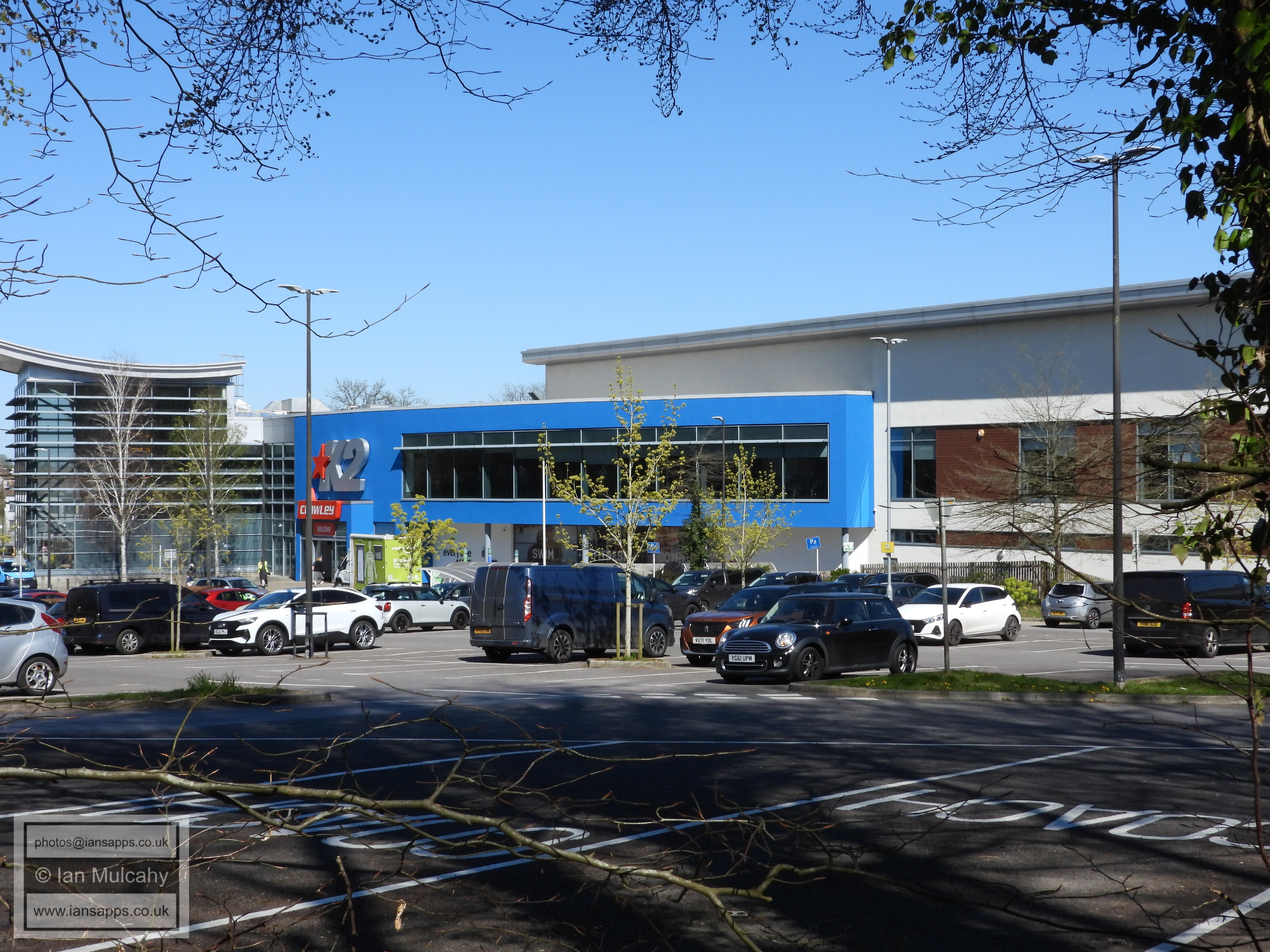
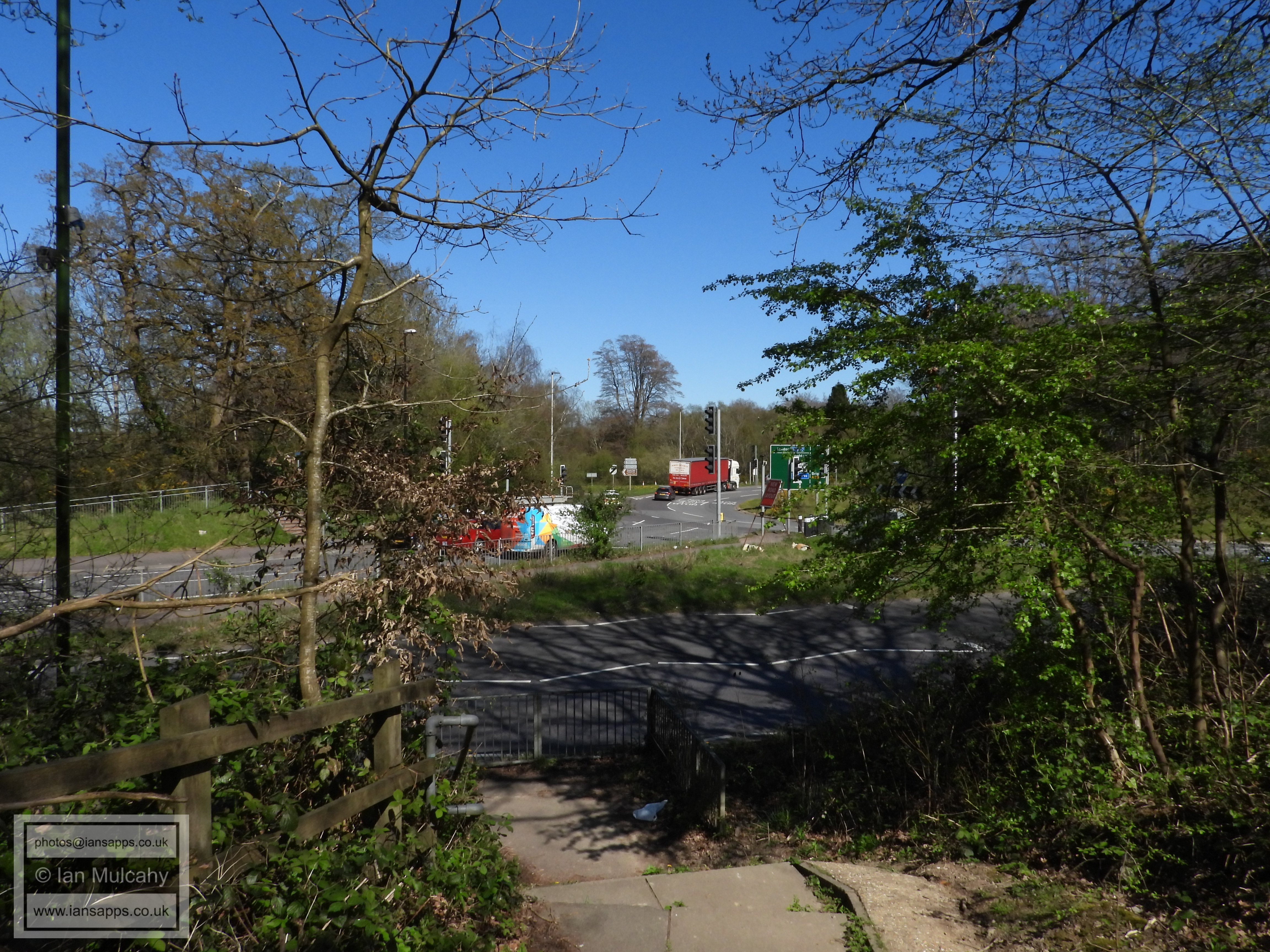
From the golf buildings, join Tilgate Drive and follow it to the roundabout at the end of Titmus Drive, up the hill to Smith & Western and then down past the huts to K2, veering right slightly to follow the footpath after passing the huts. Use the traffic lights to cross the A23 Brighton Road and enter Broadfield Park.
Worth School
Worth School
Church Road
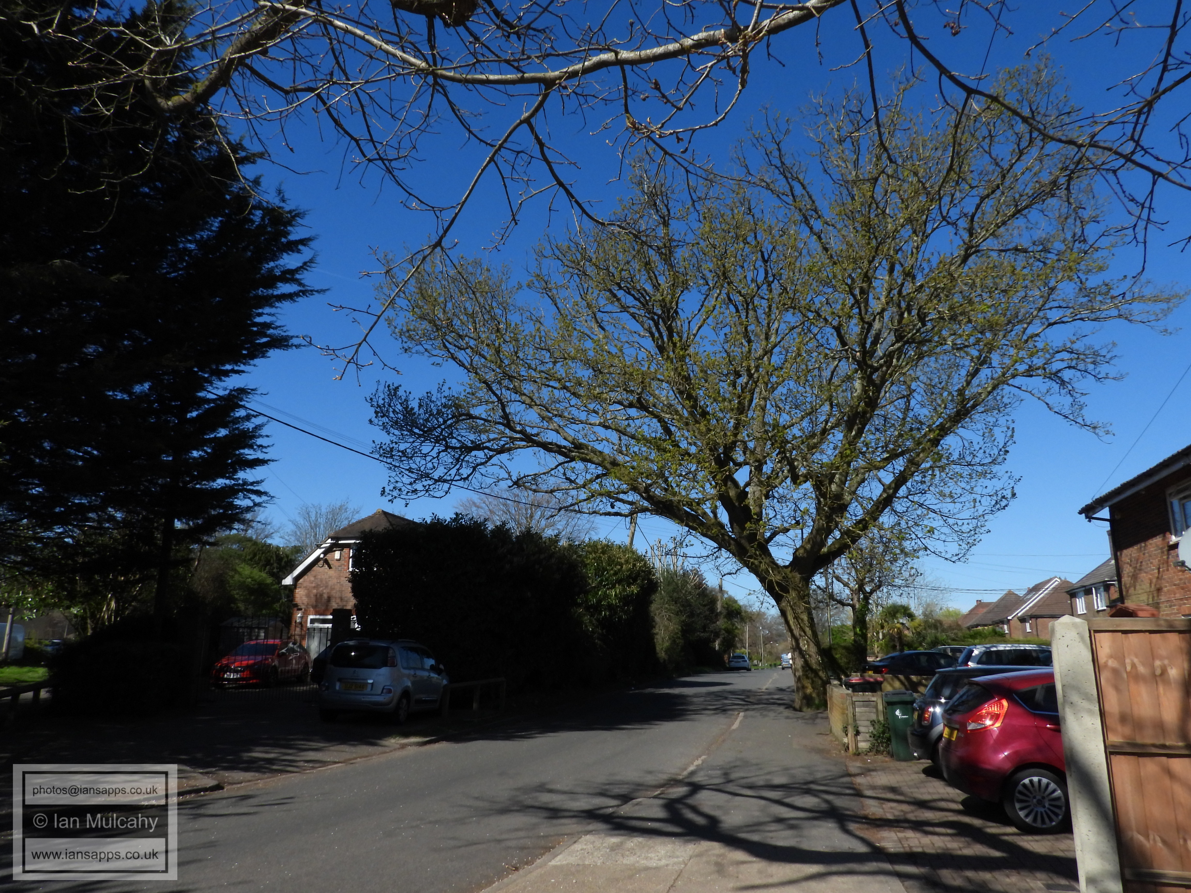
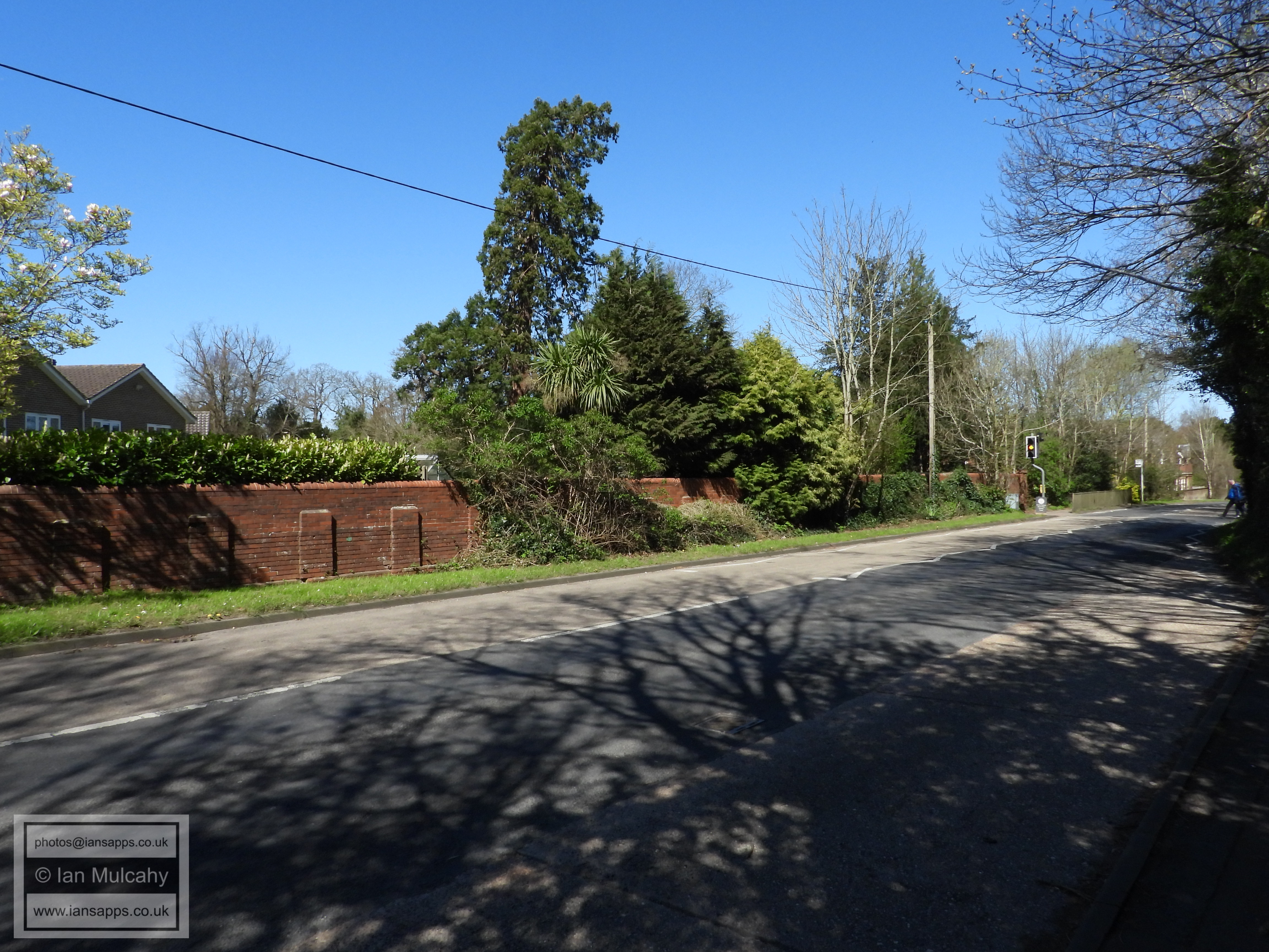
Green Lane
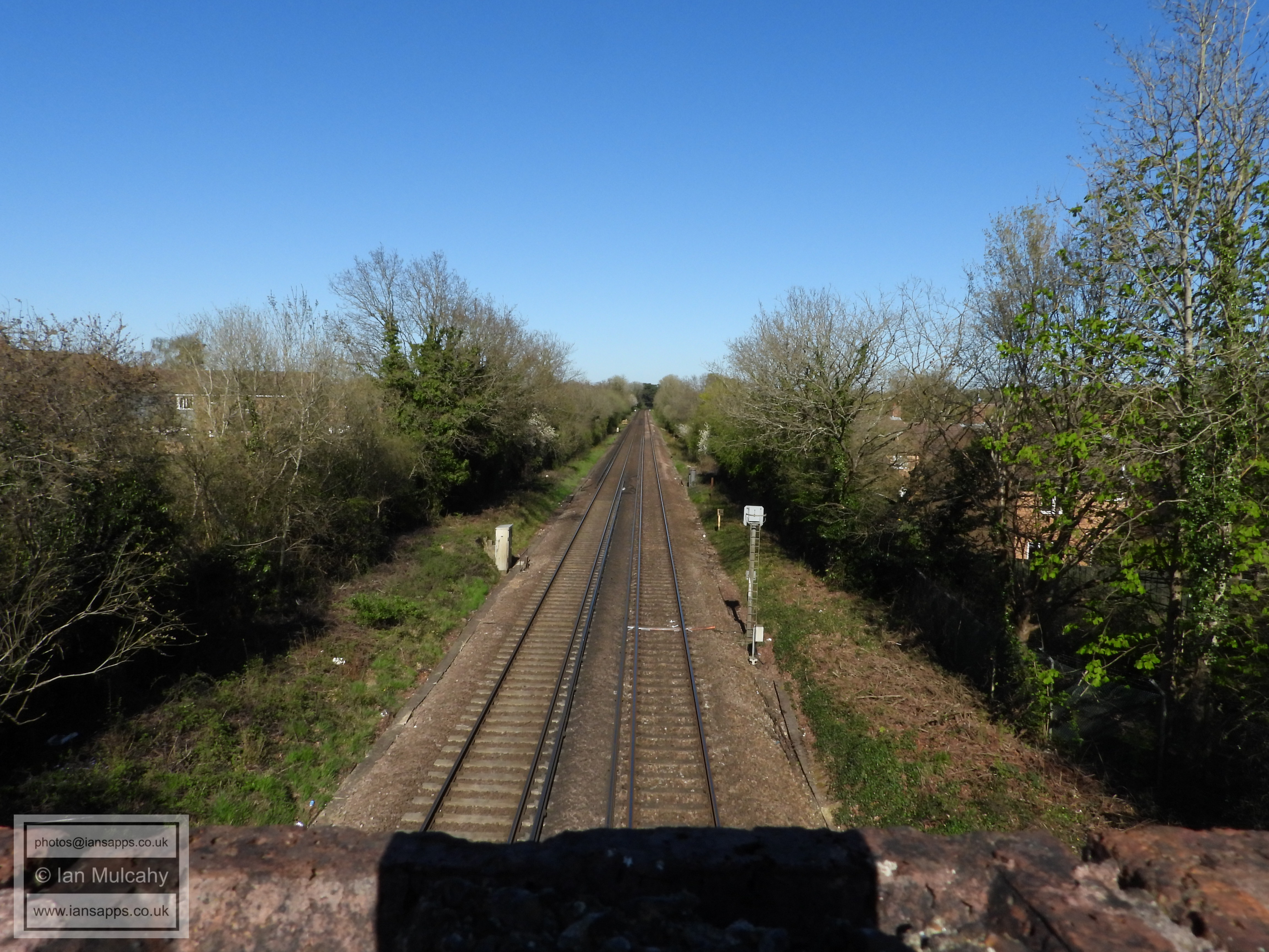
The old Three Bridges to East Grinstead railway line viewed from Church Road and looking westwards towards Three Bridges
Another of the Greenway markers
Church Road
Street Hill
A fallen tree blocking the pathway near the Street Hill/Balcombe Road junction
Cranmer Walk (Balcombe Road end)
Cranmer Walk
Cranmer Walk
Cranmer Walk
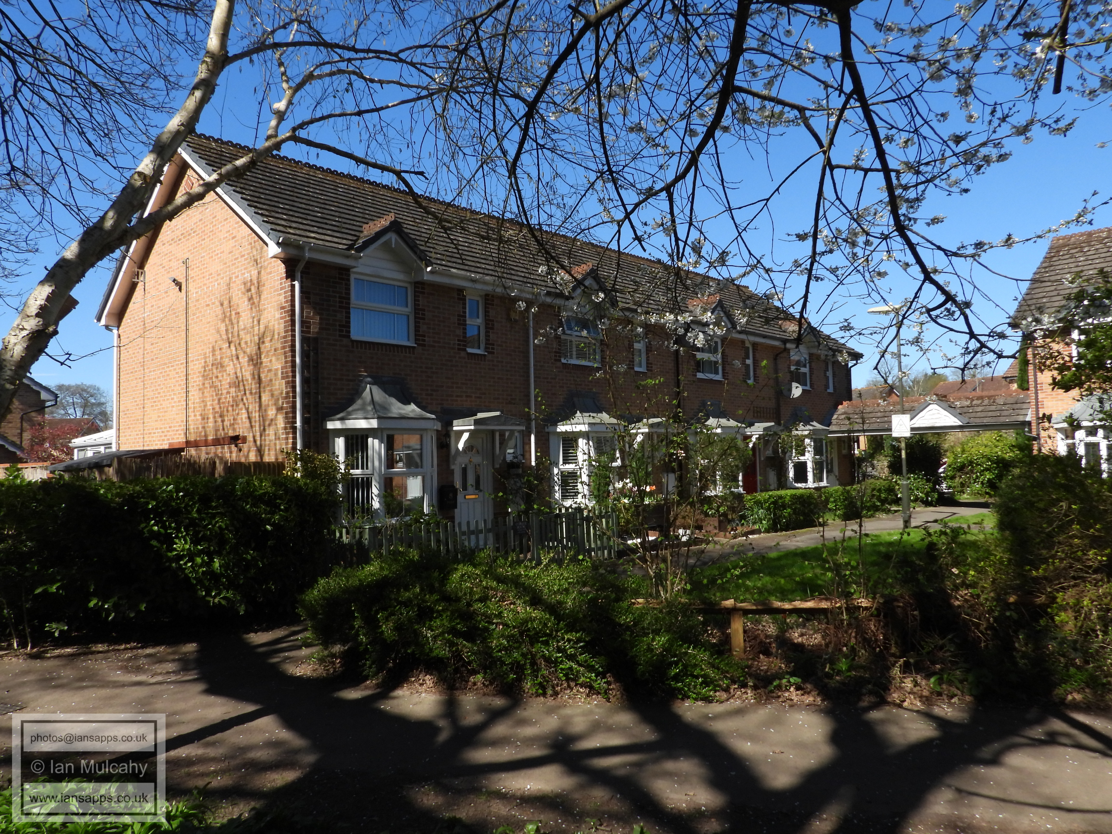
Maidenbower Drive
Evans Close junction
Cranmer Walk
Bridge from Cranmer Walk into the Maidenbower schools
Cranmer Walk (Sheldon Close houses)
Cranmer Walk (Clifton Road)
Cranmer Walk (Nelson Close)
Cranmer Walk (Nelson Close)
Cranmer Walk (Marshal Road)
Maidenbower Drive
Atkinson Road
Atkinson Road
Watson Close
Palmer Road, with Flint Close to the right
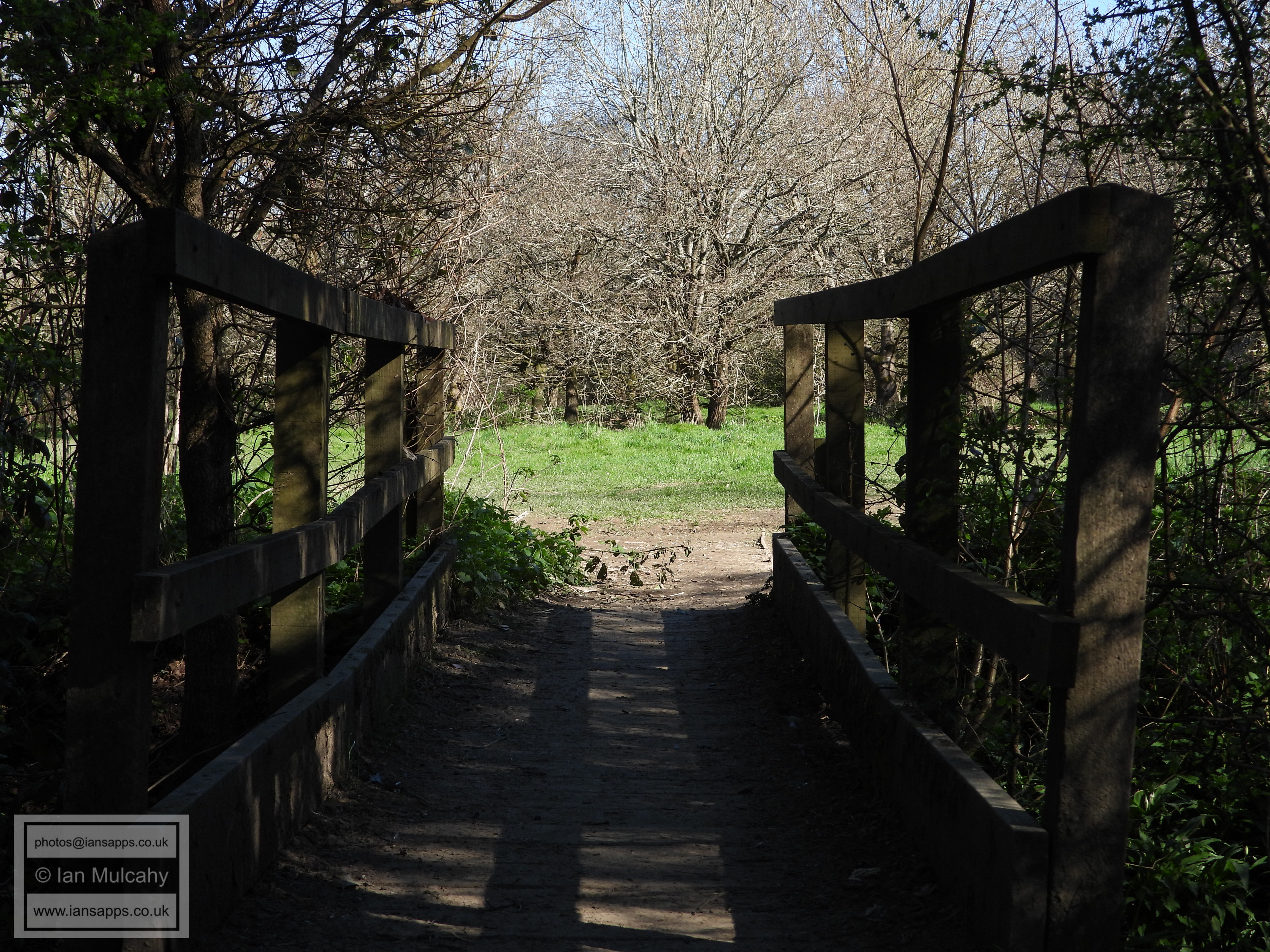
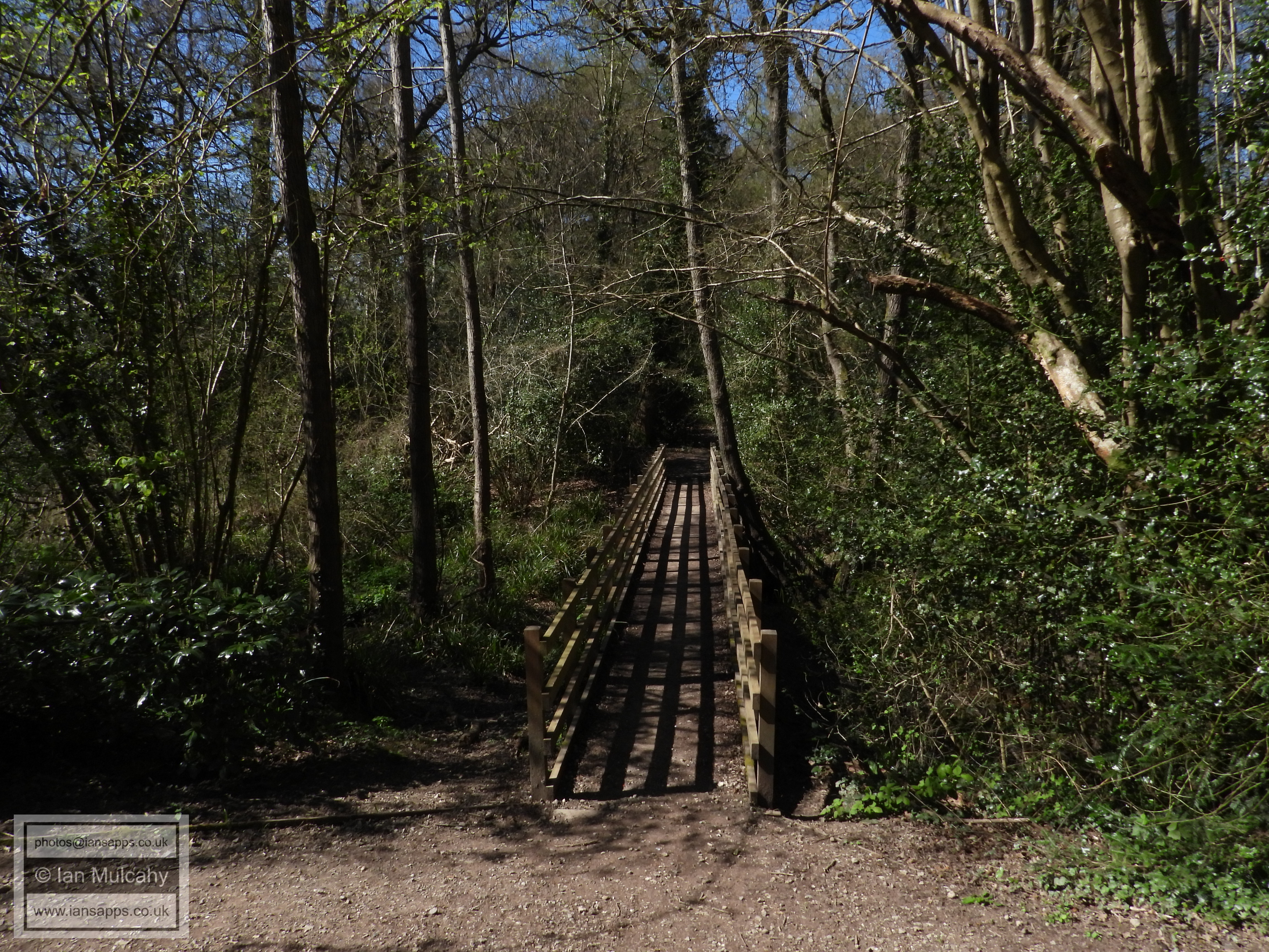
The bridge over the railway into Tilgate
A little boardwalk over a damp area a couple of hundred yards after the bridge
Pylons through Tilgate
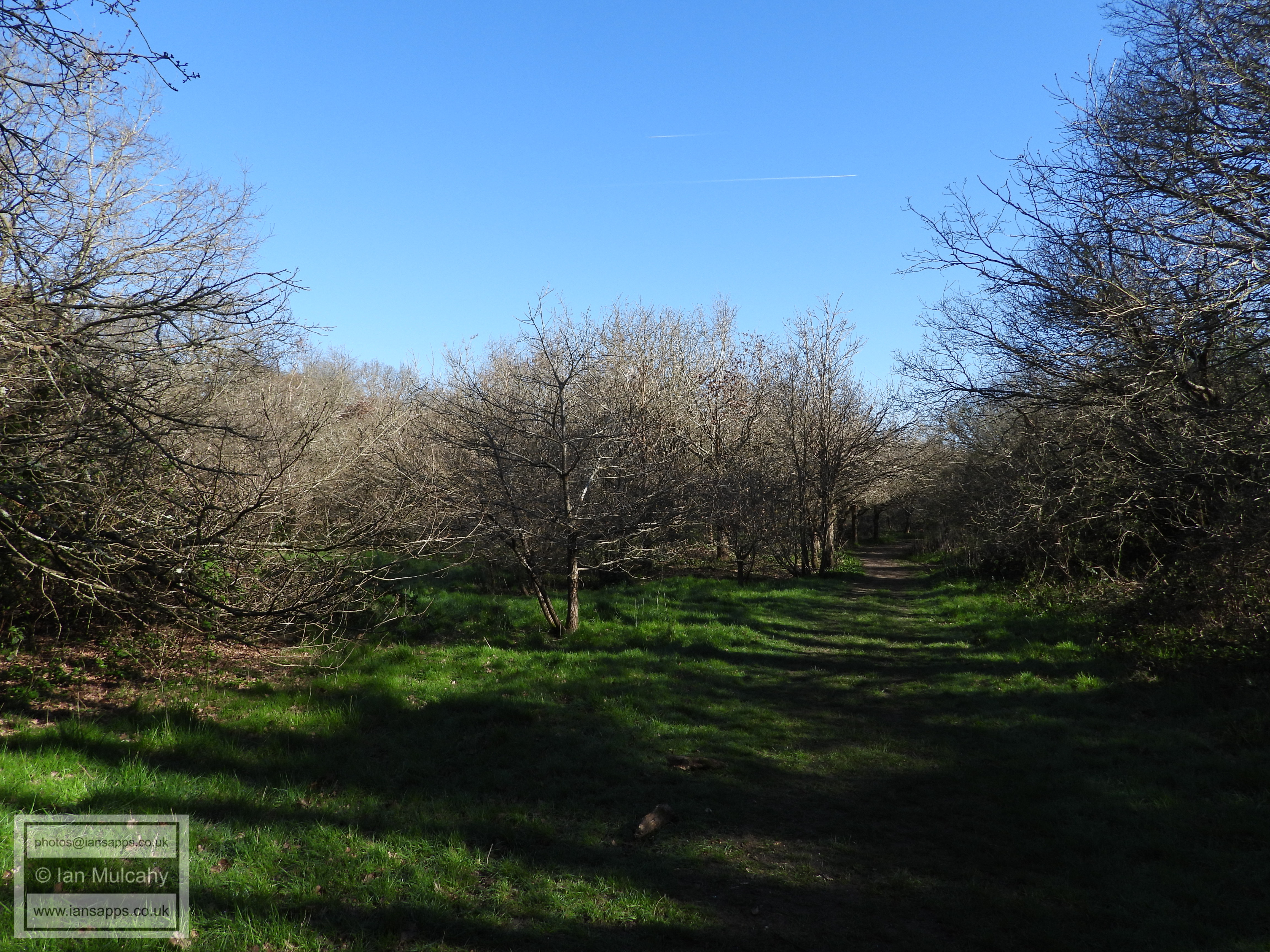
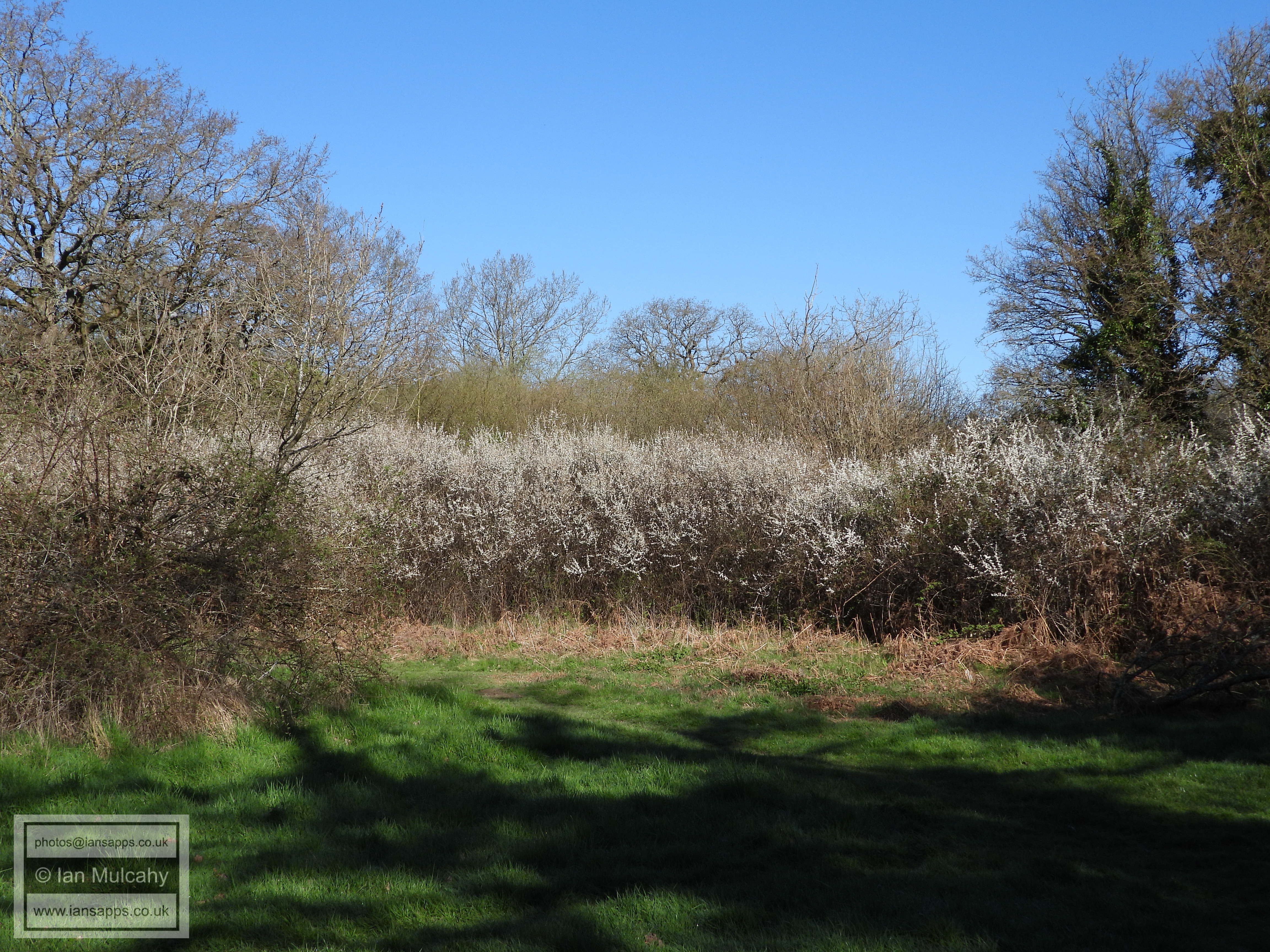
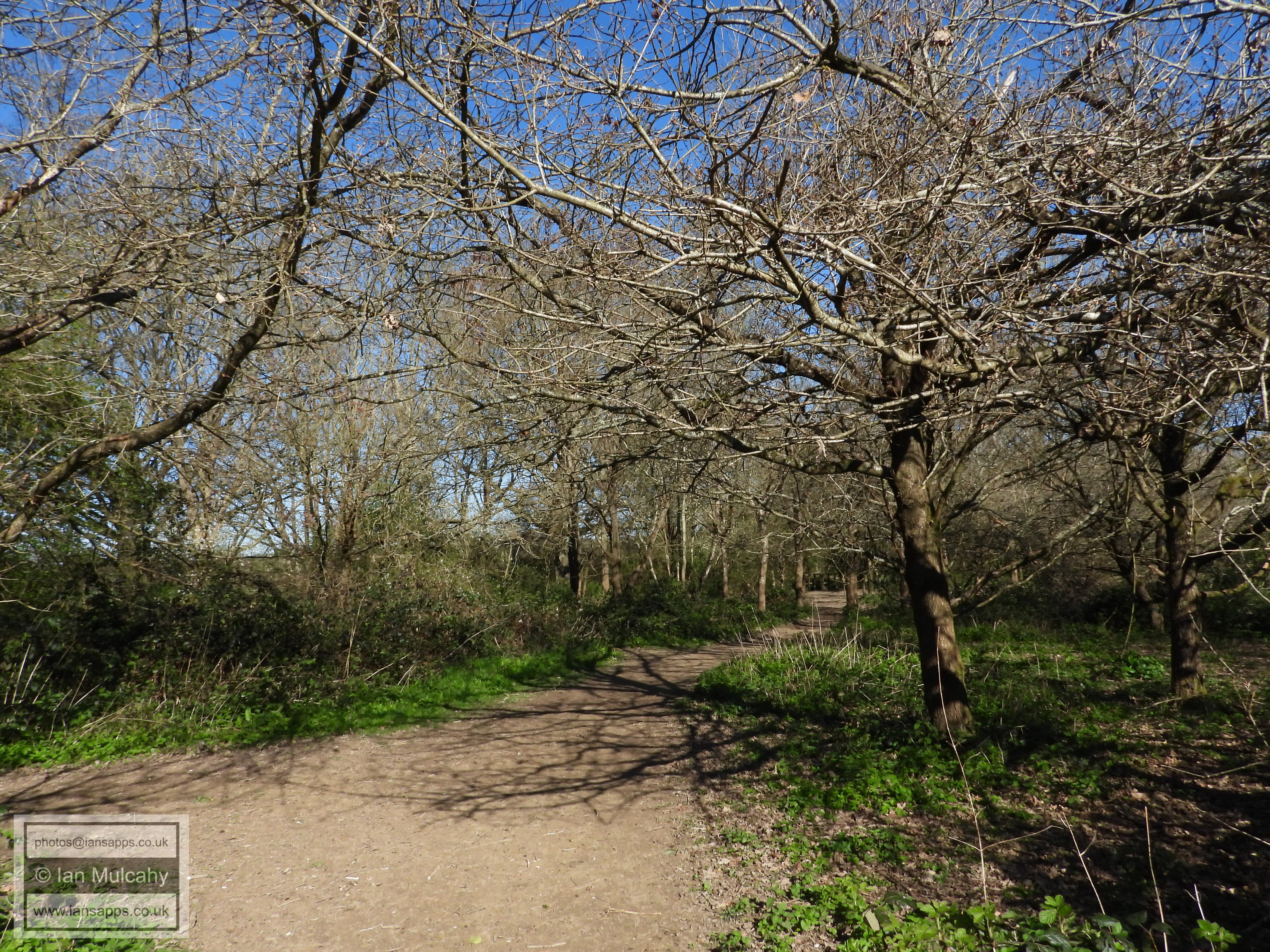
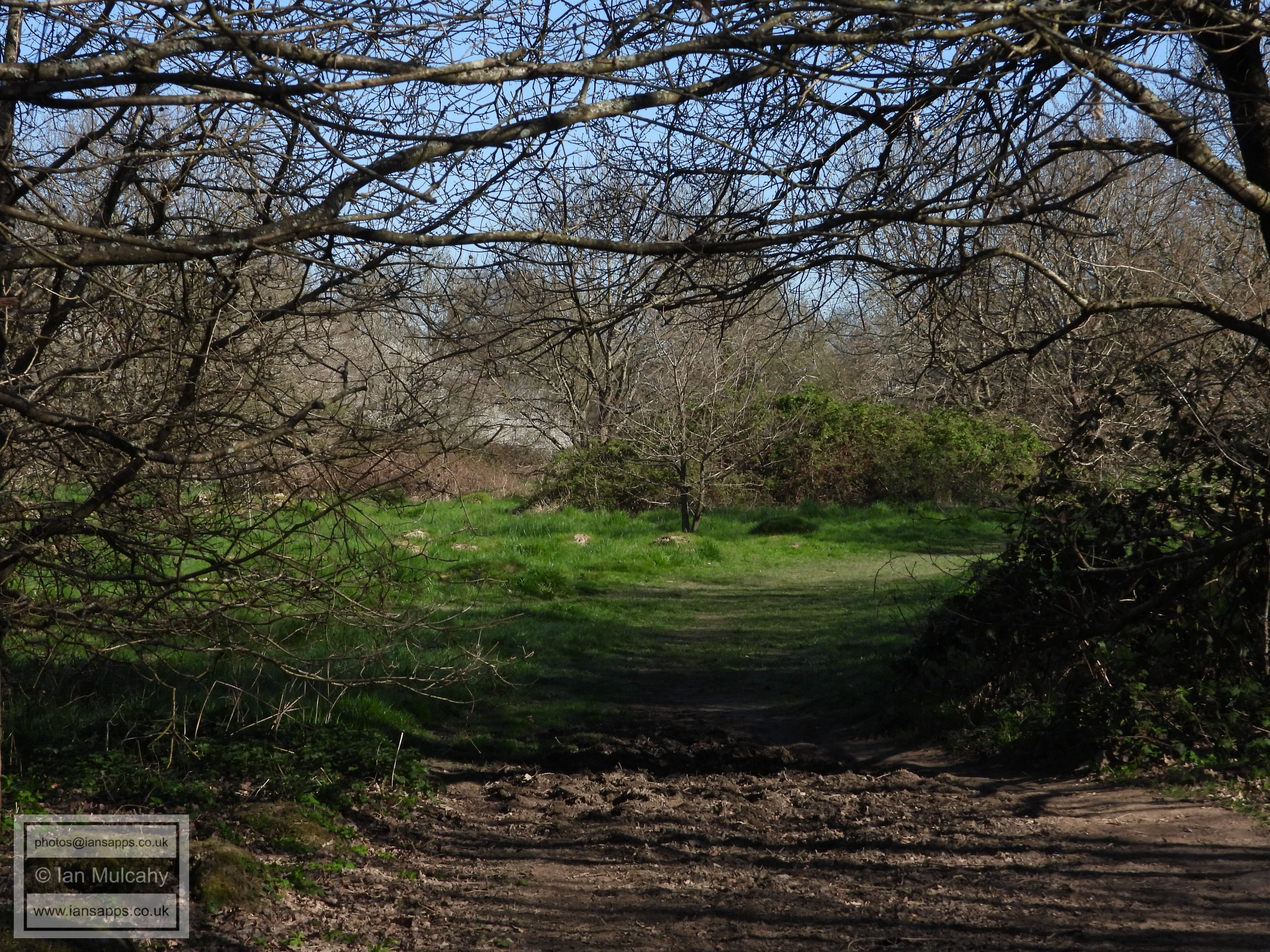
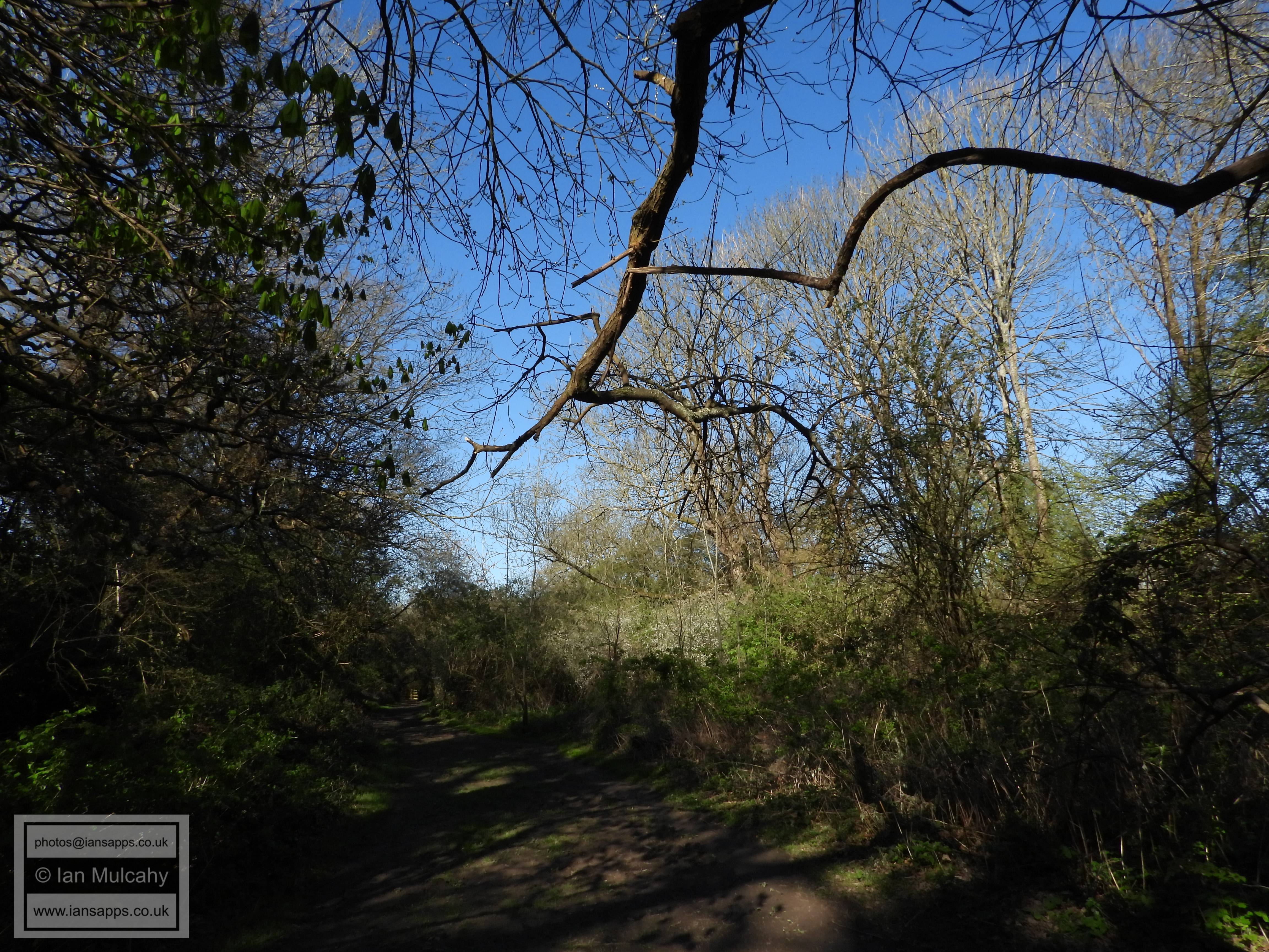
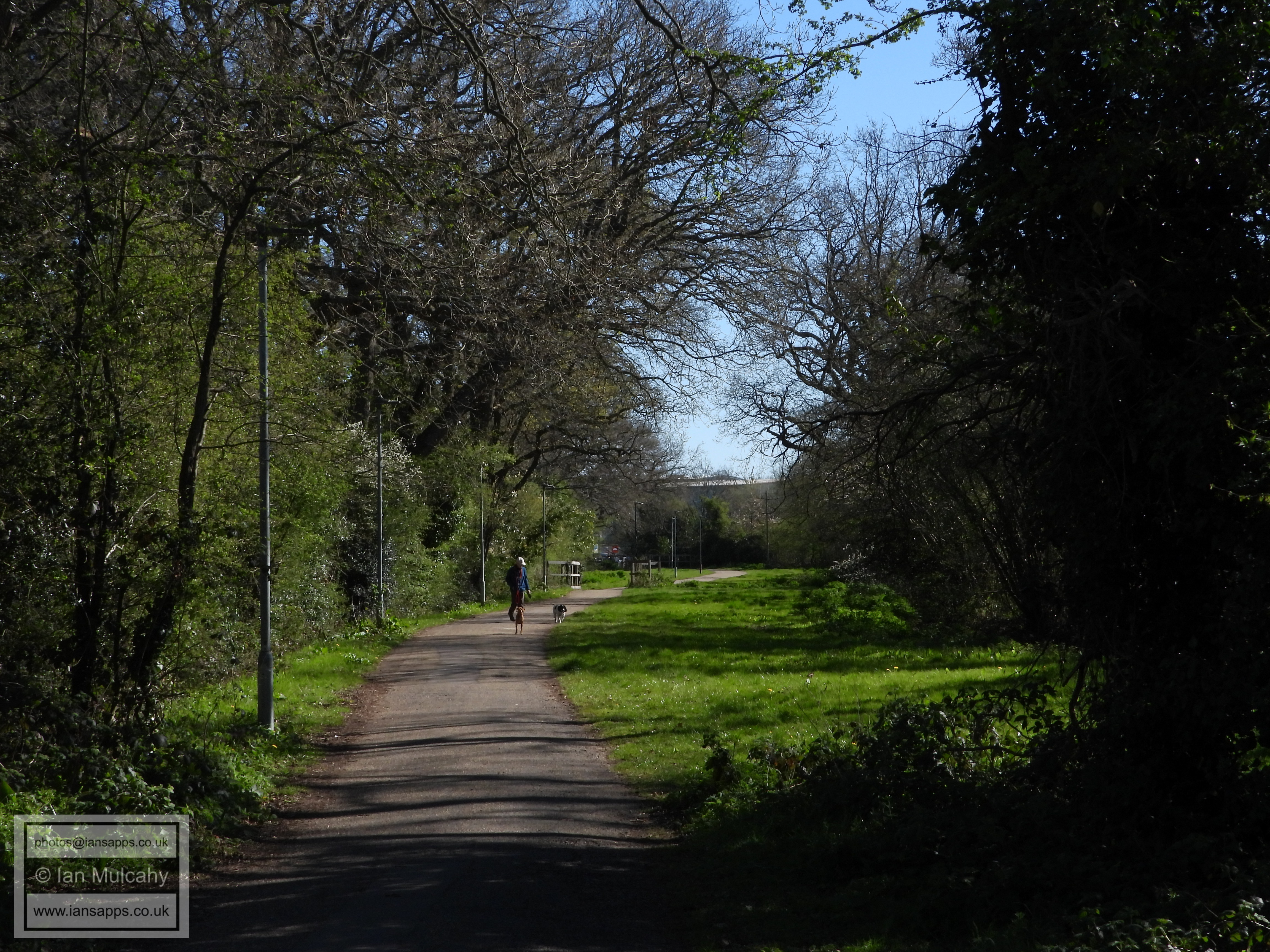
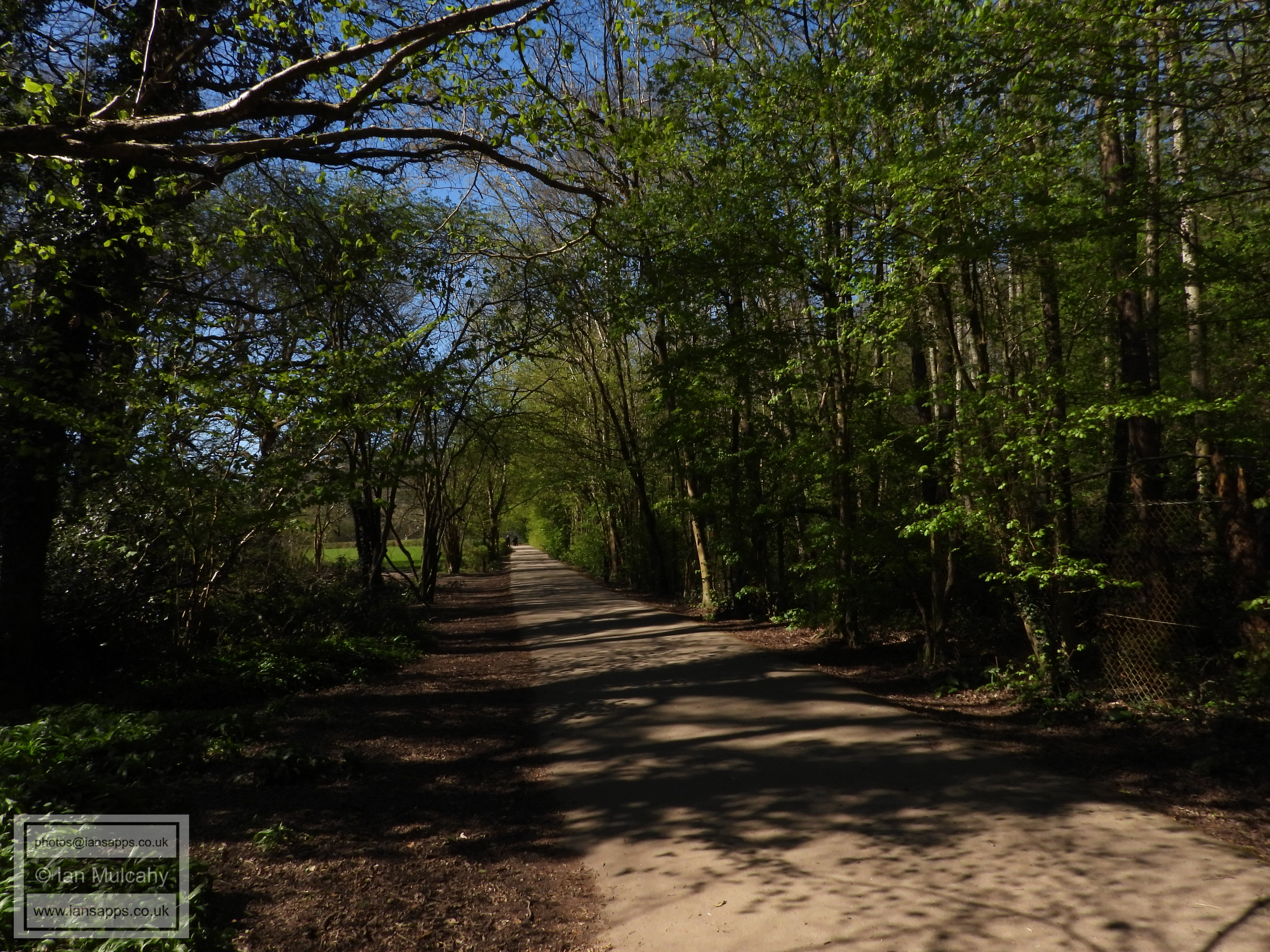
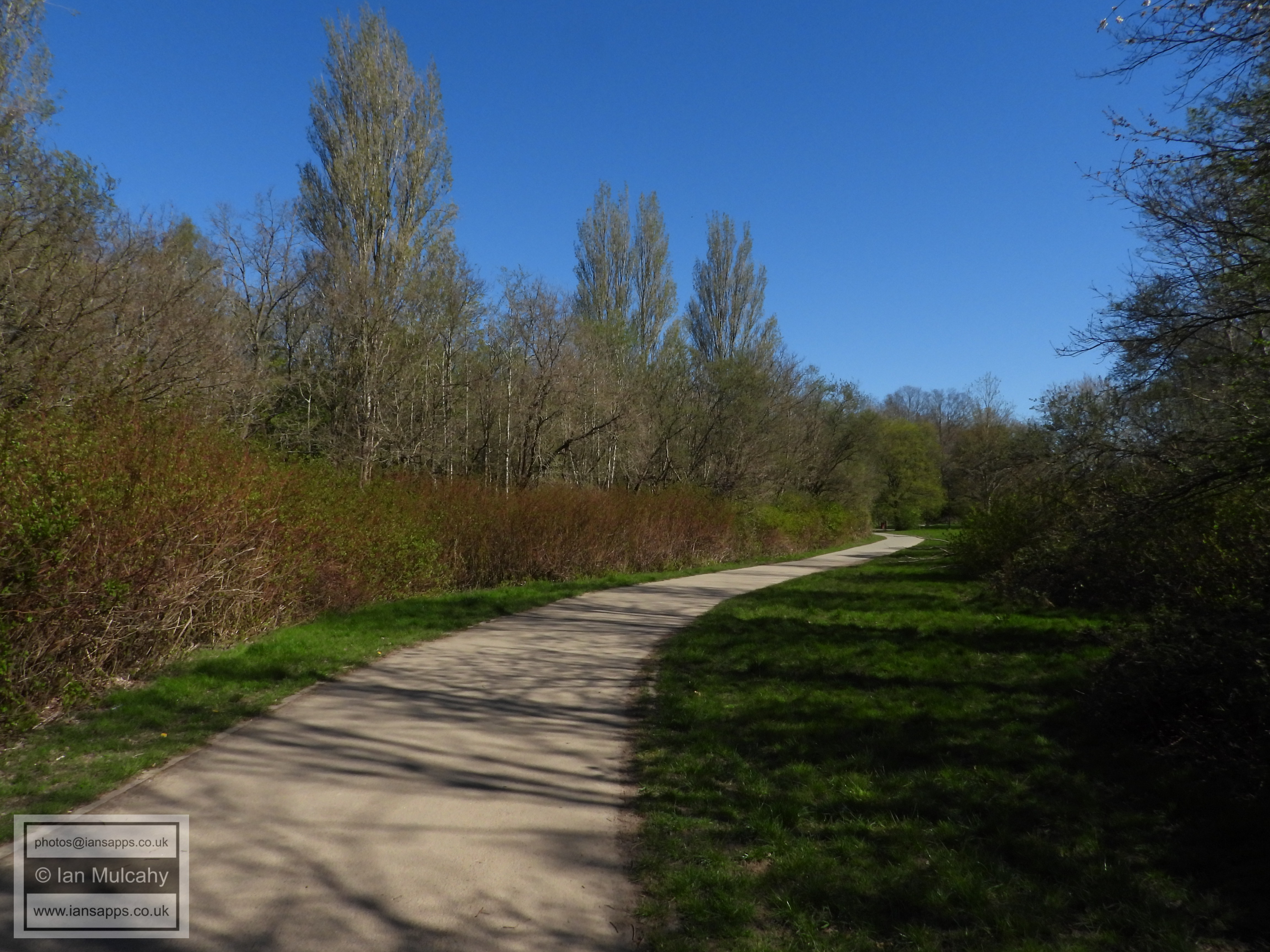
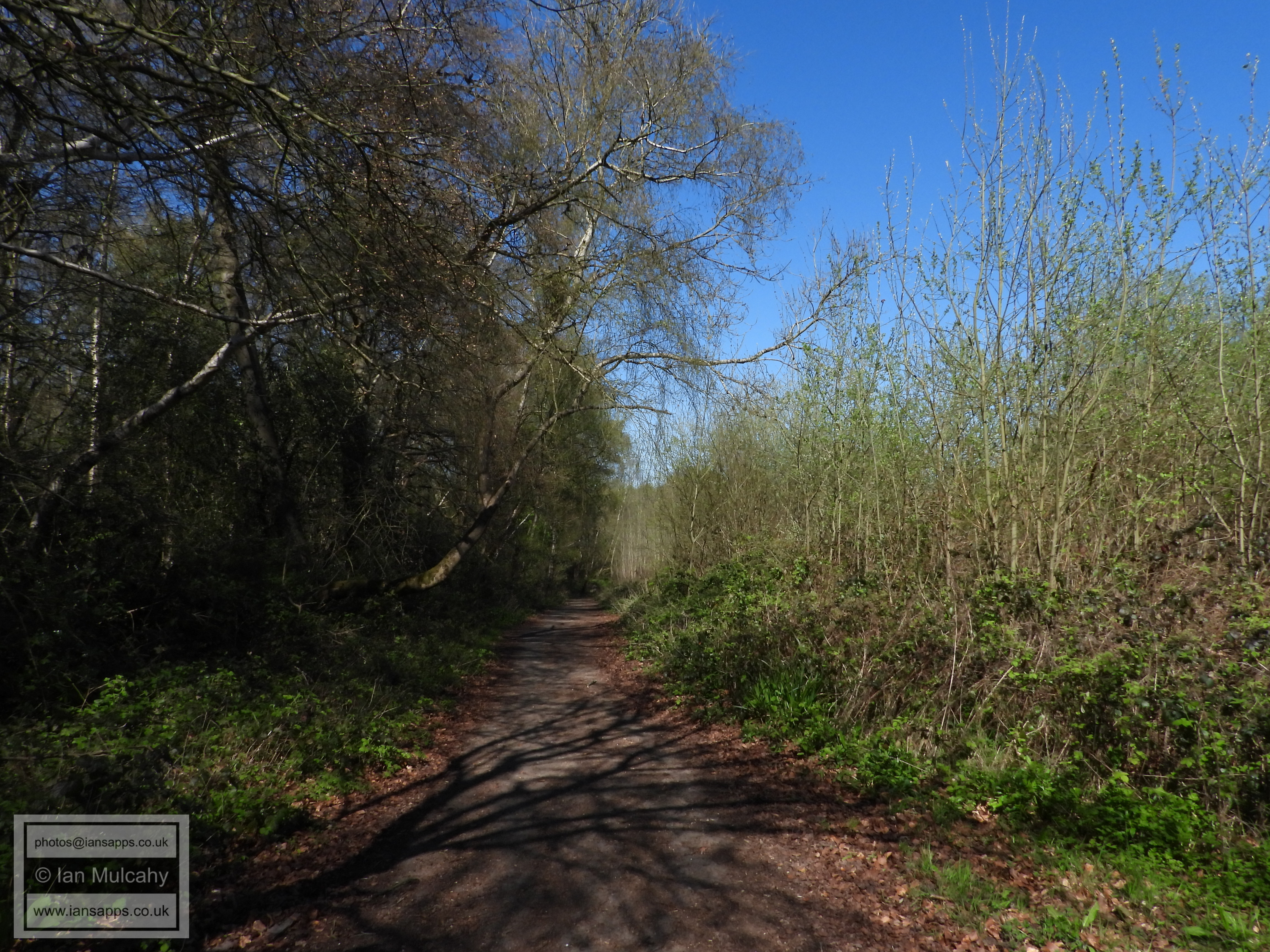
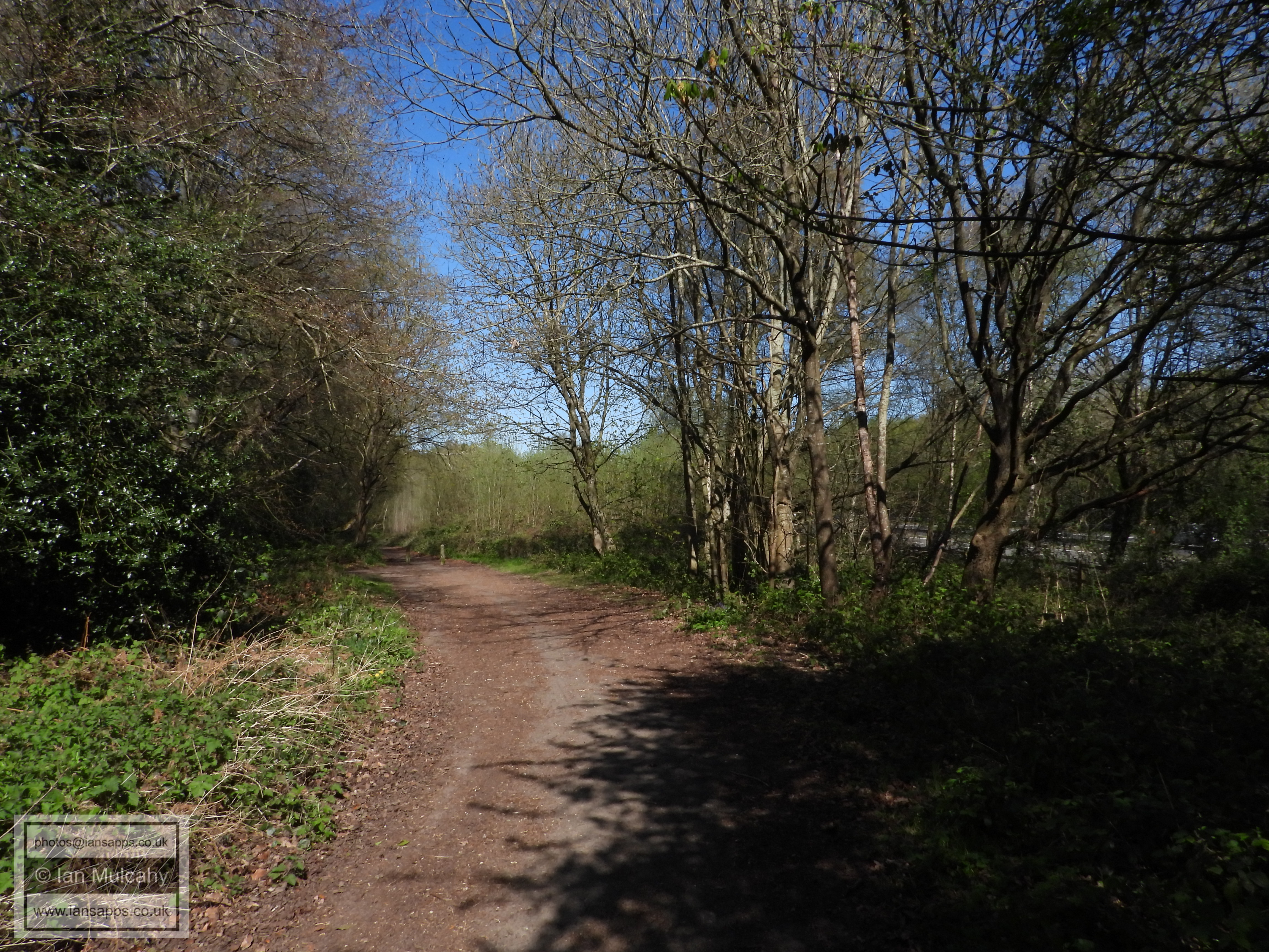
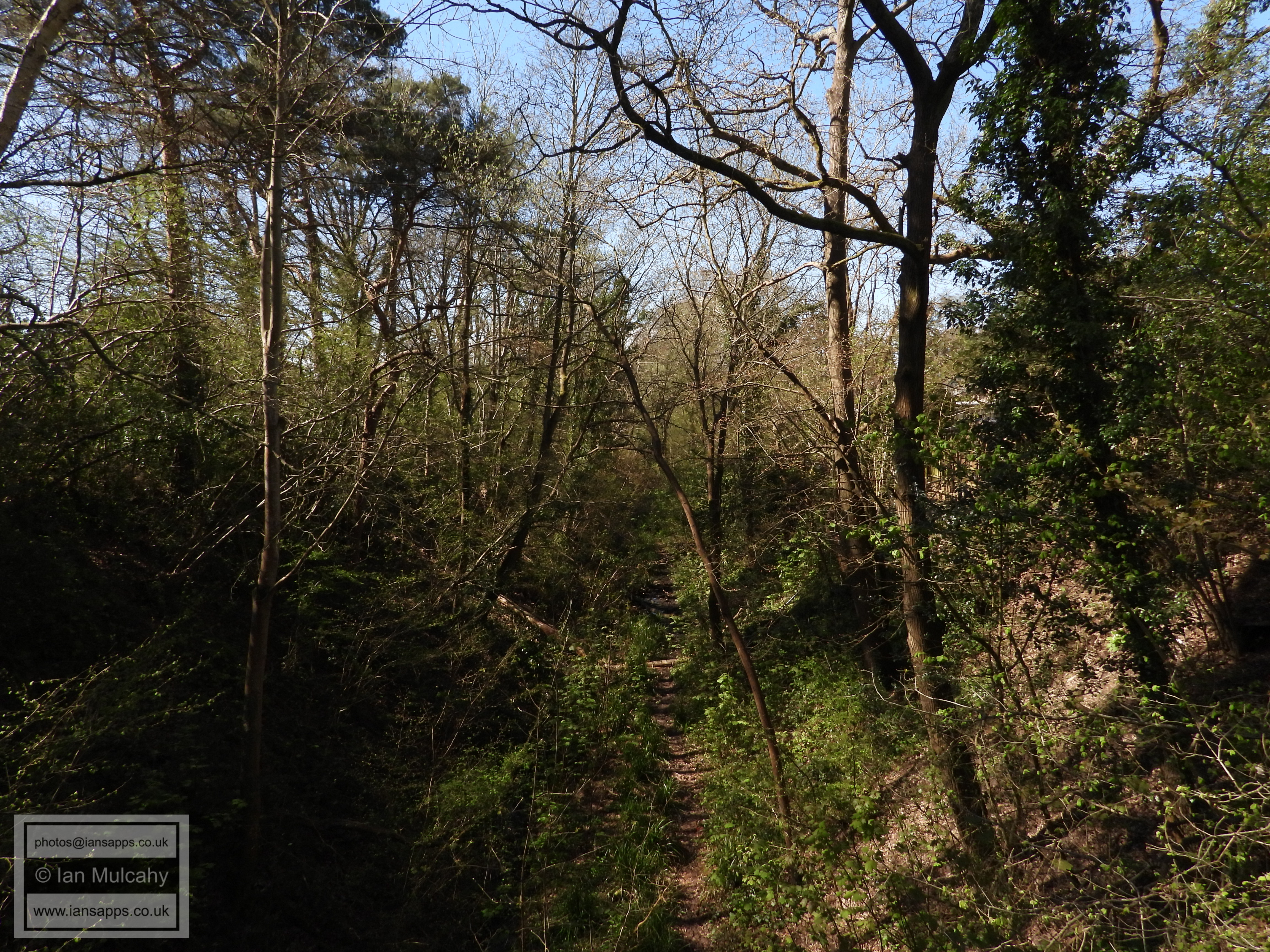
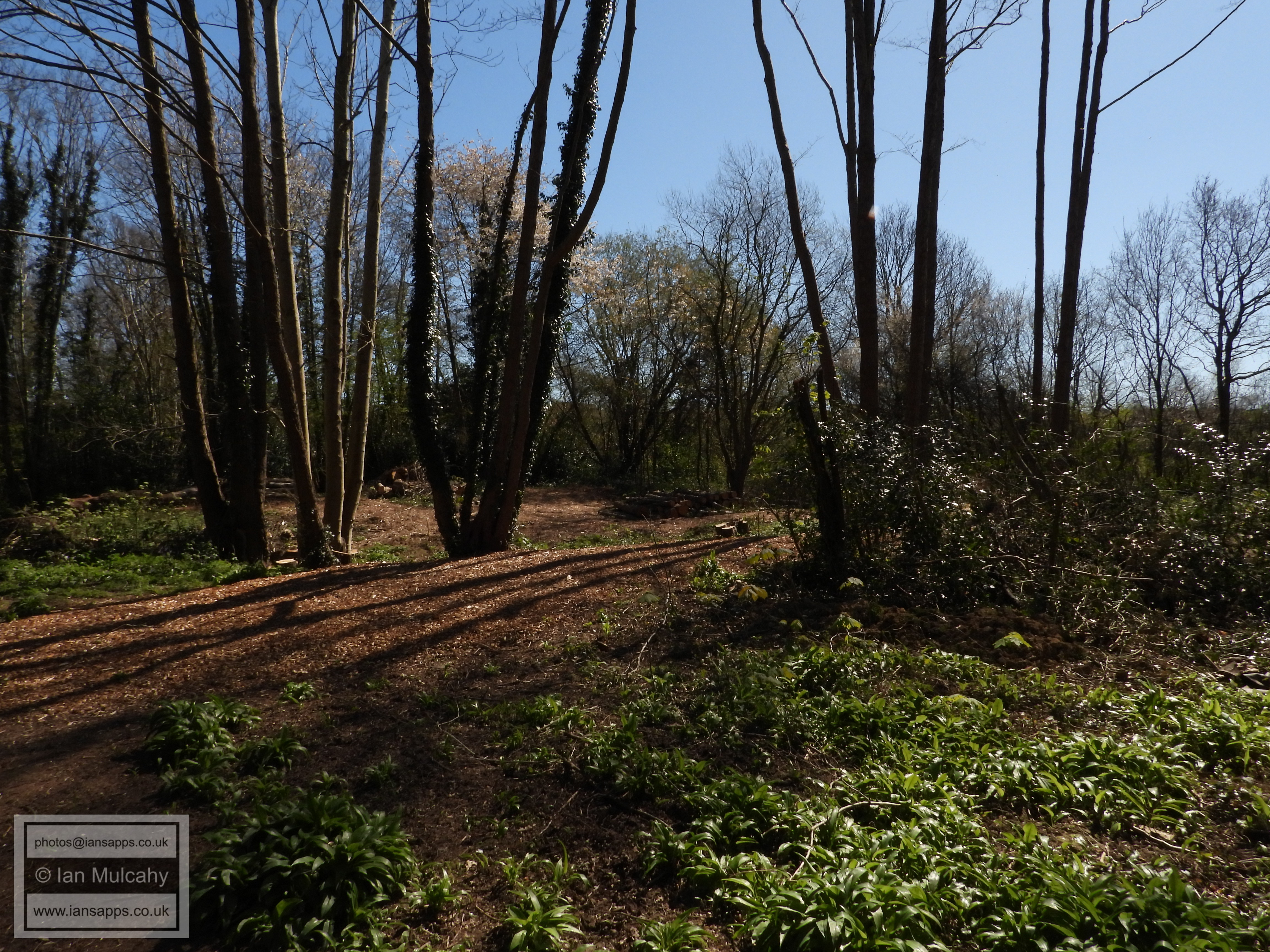
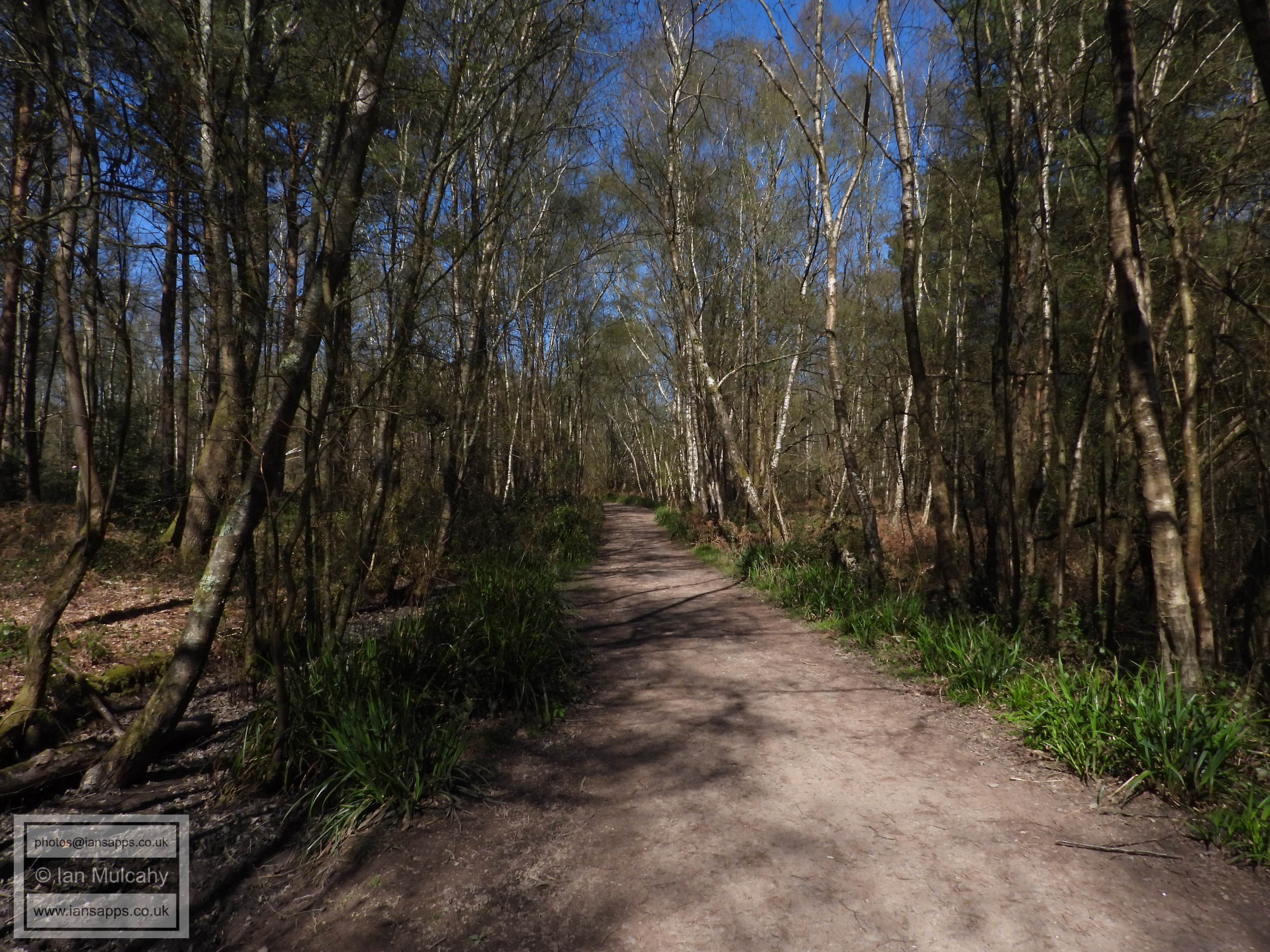
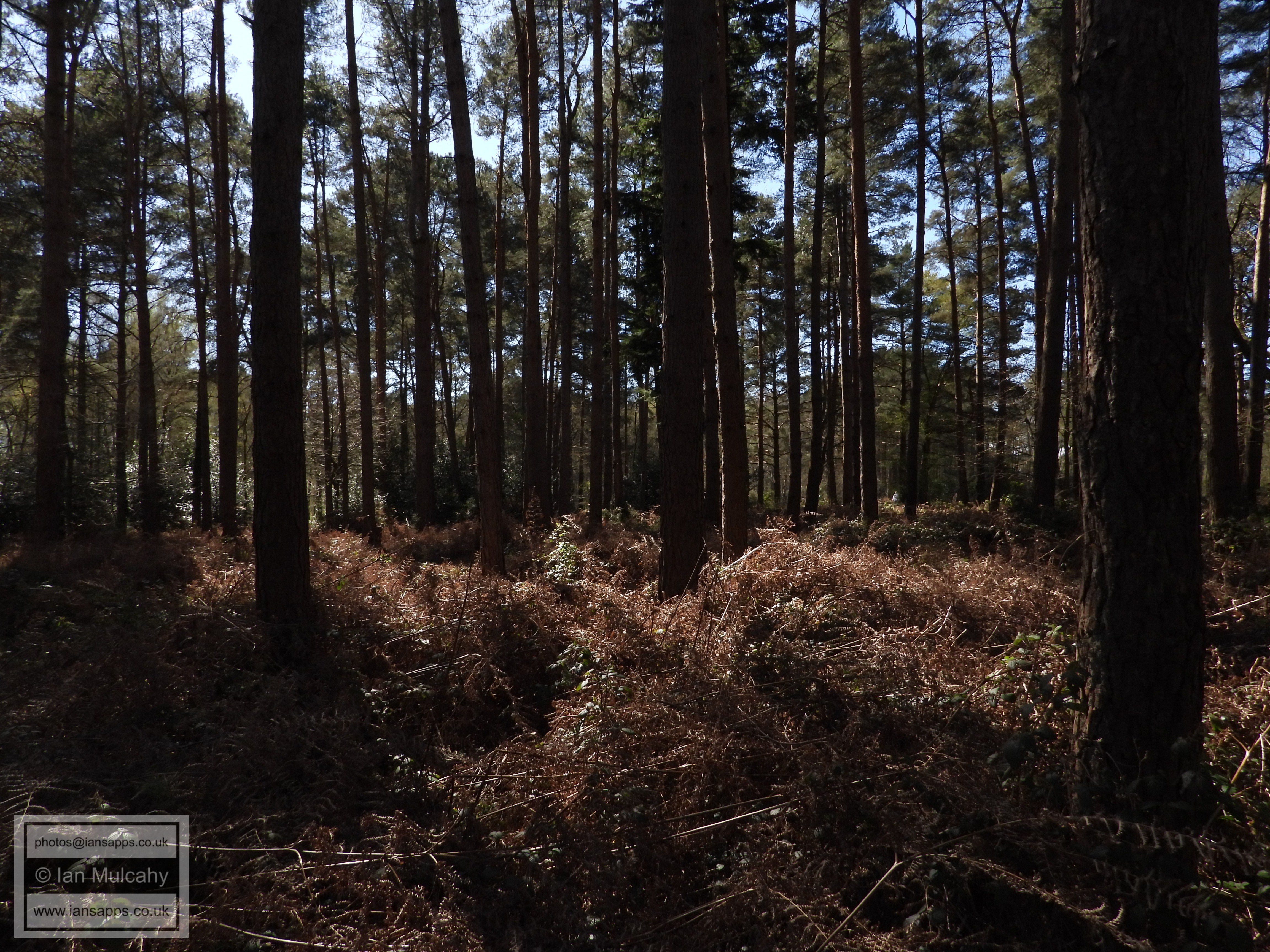
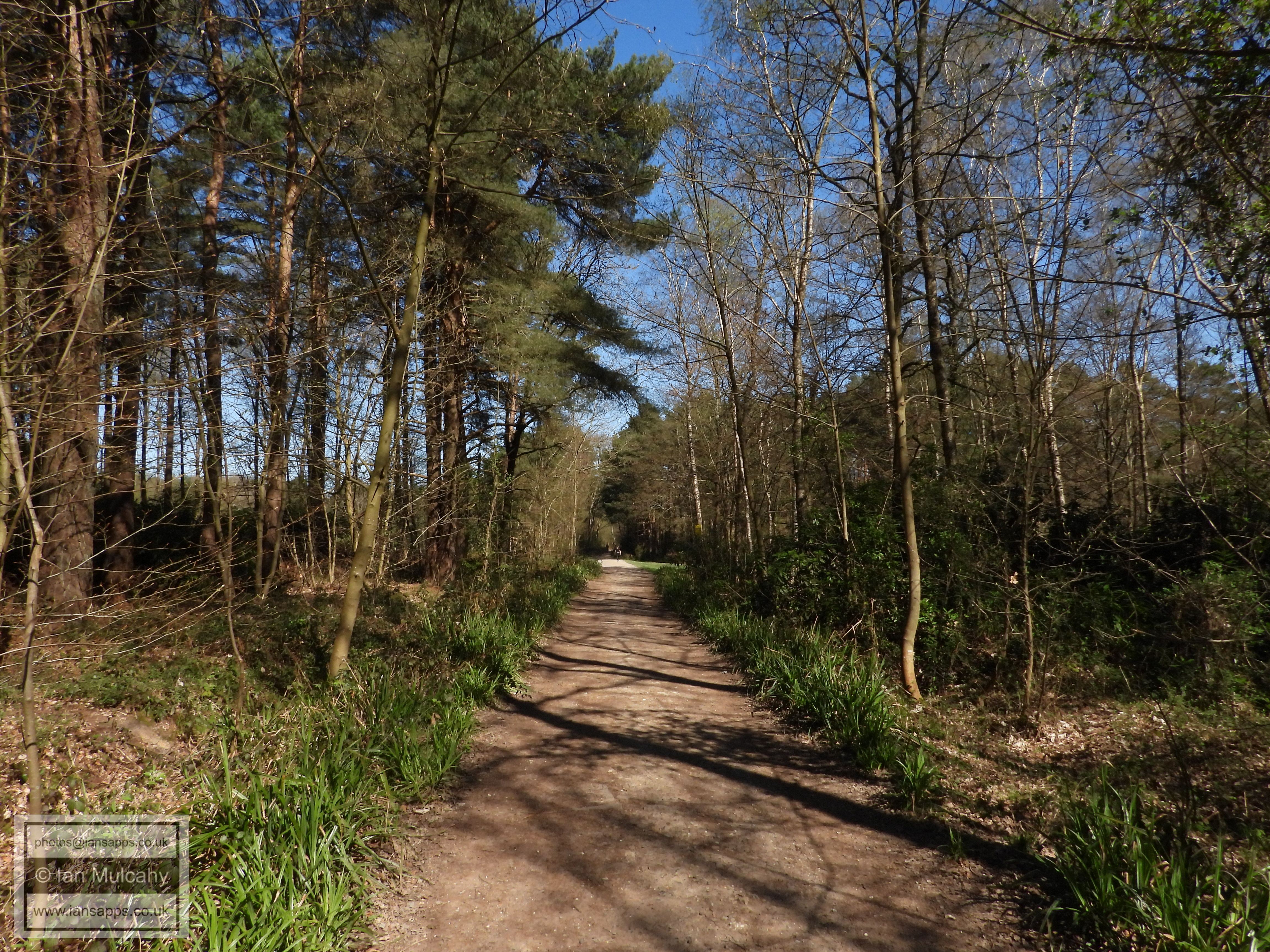
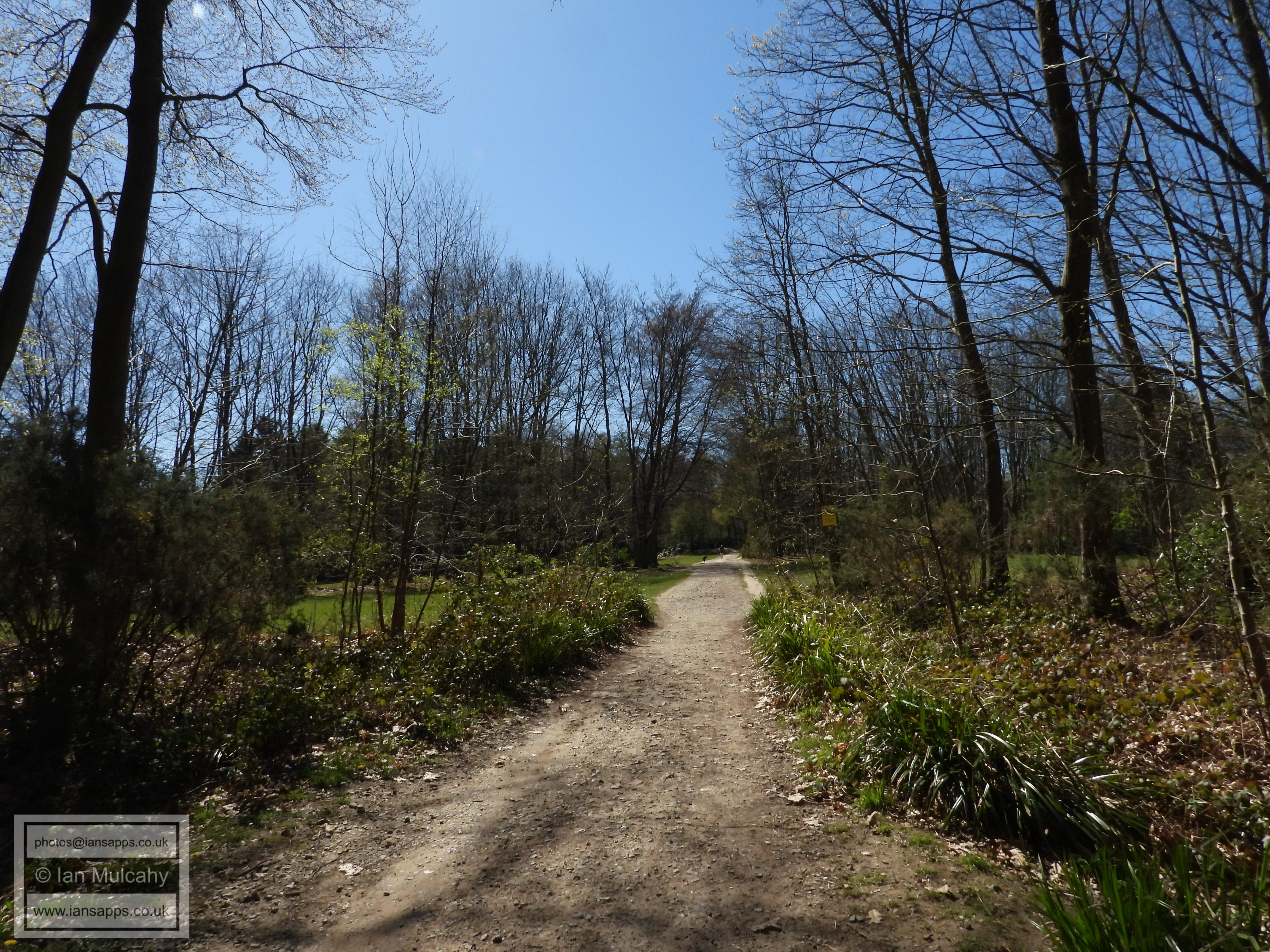
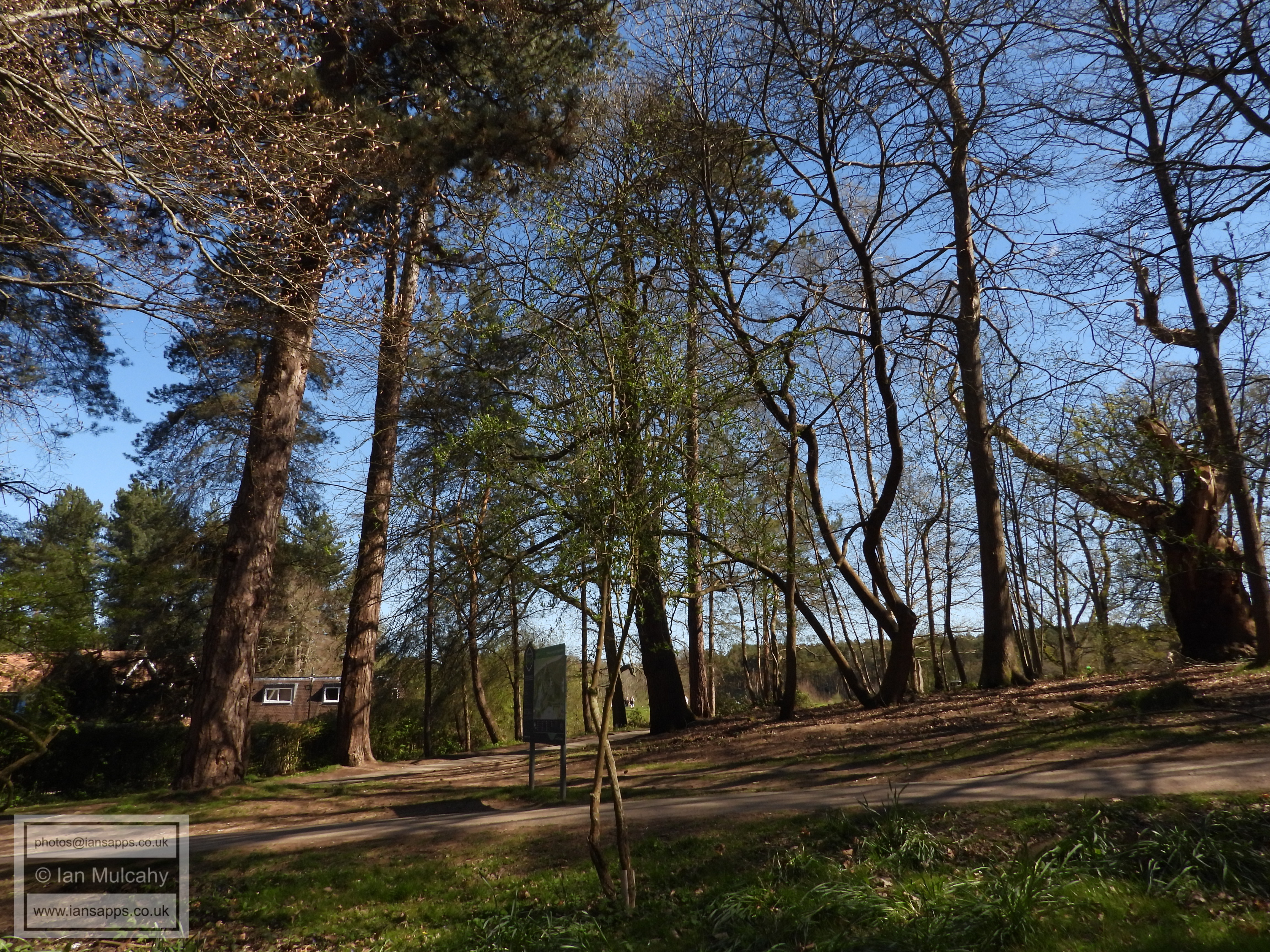
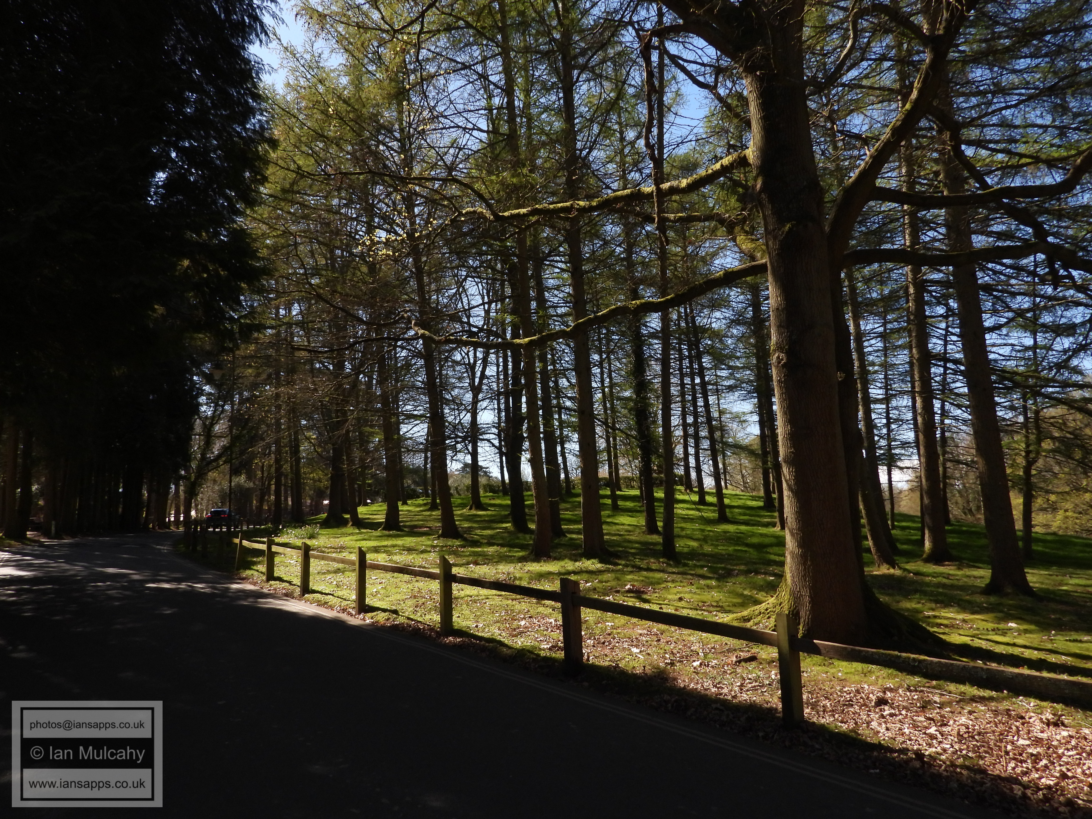
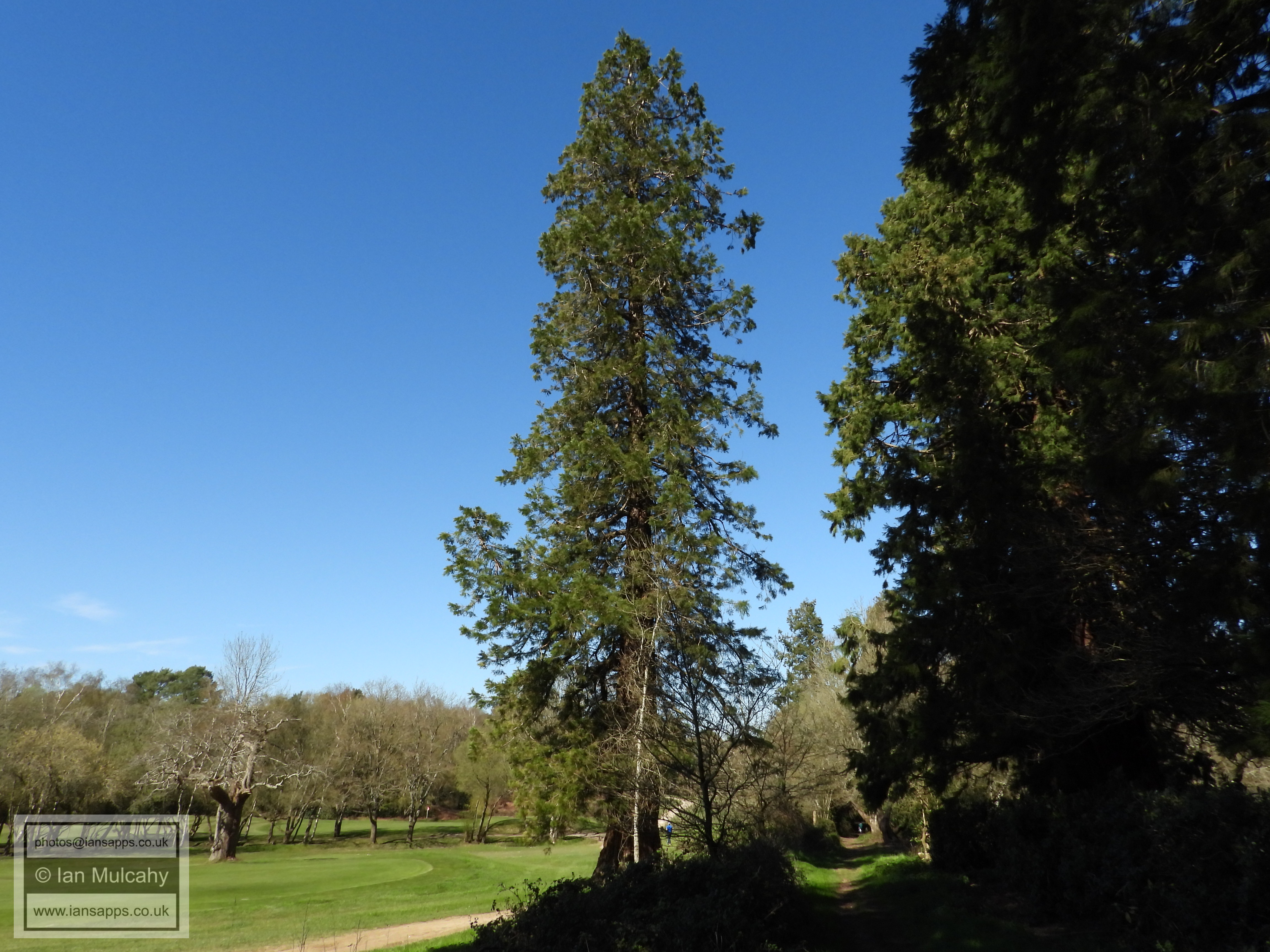
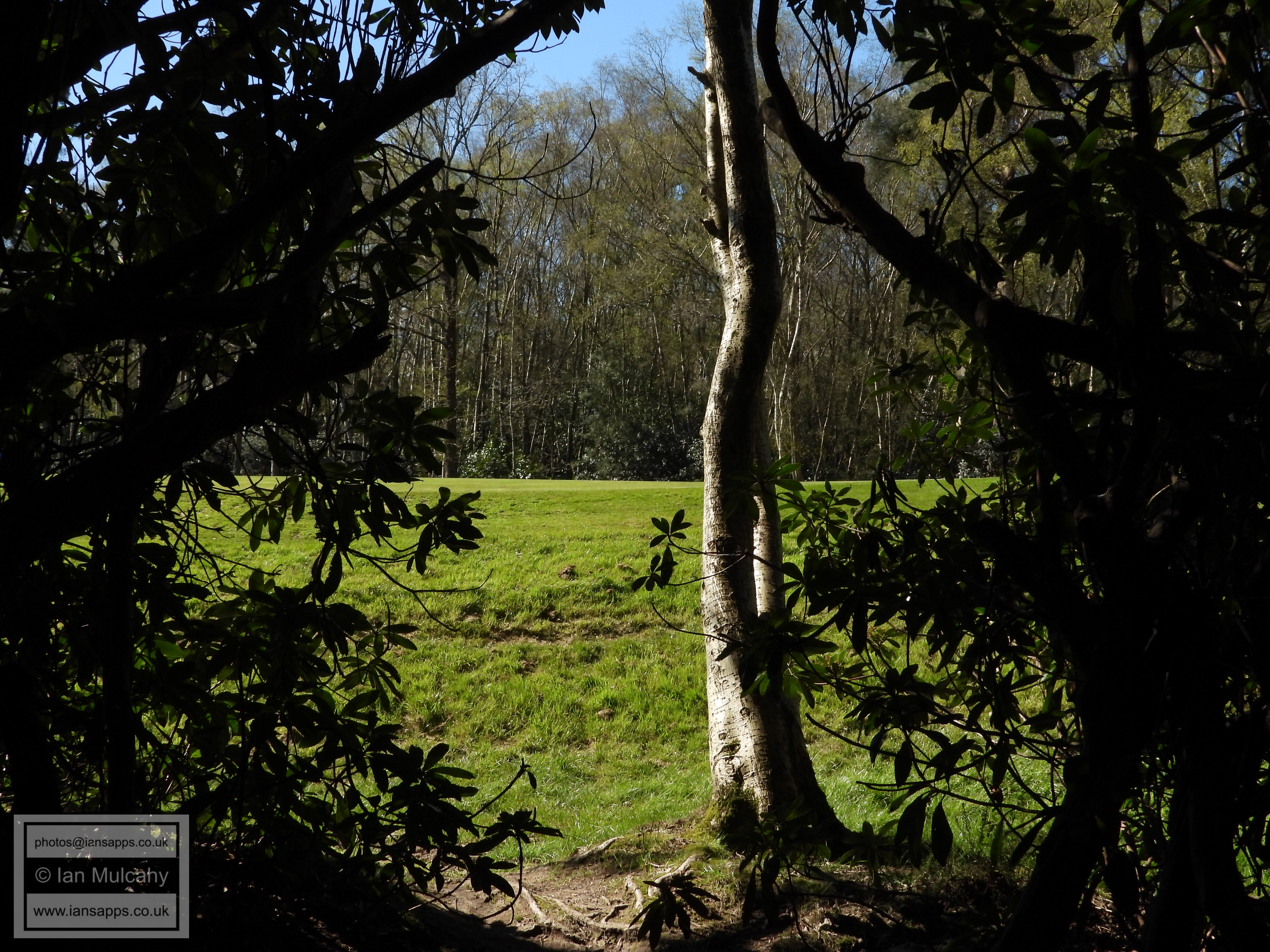
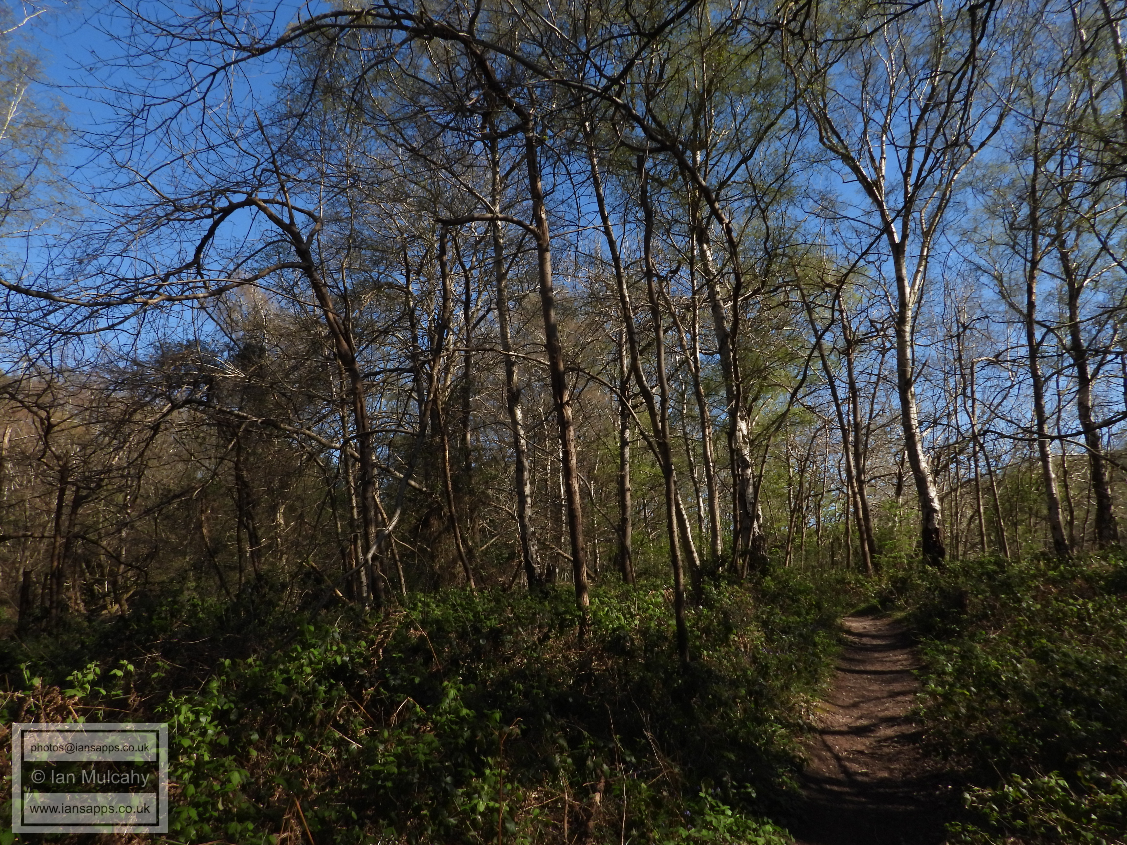
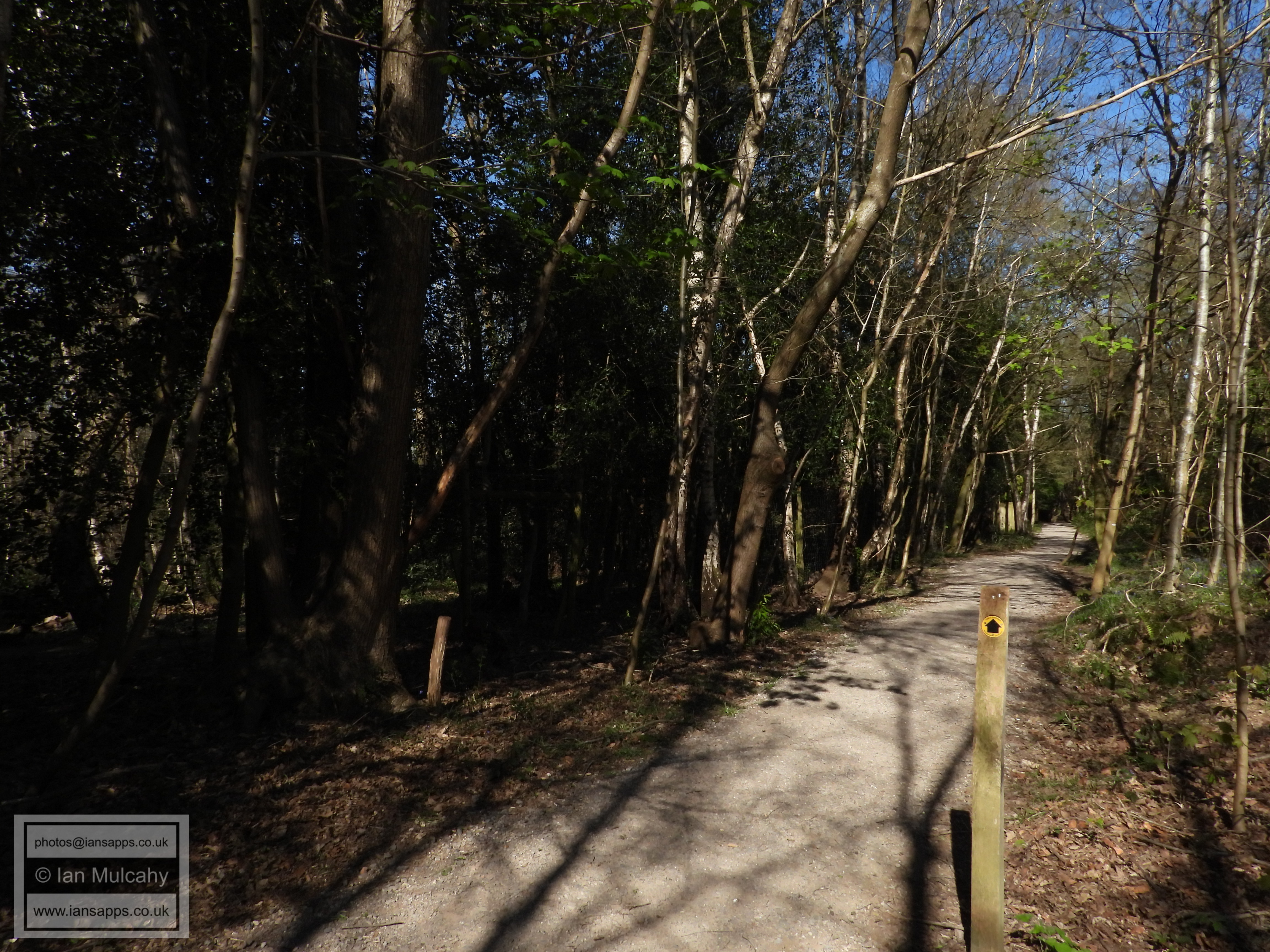
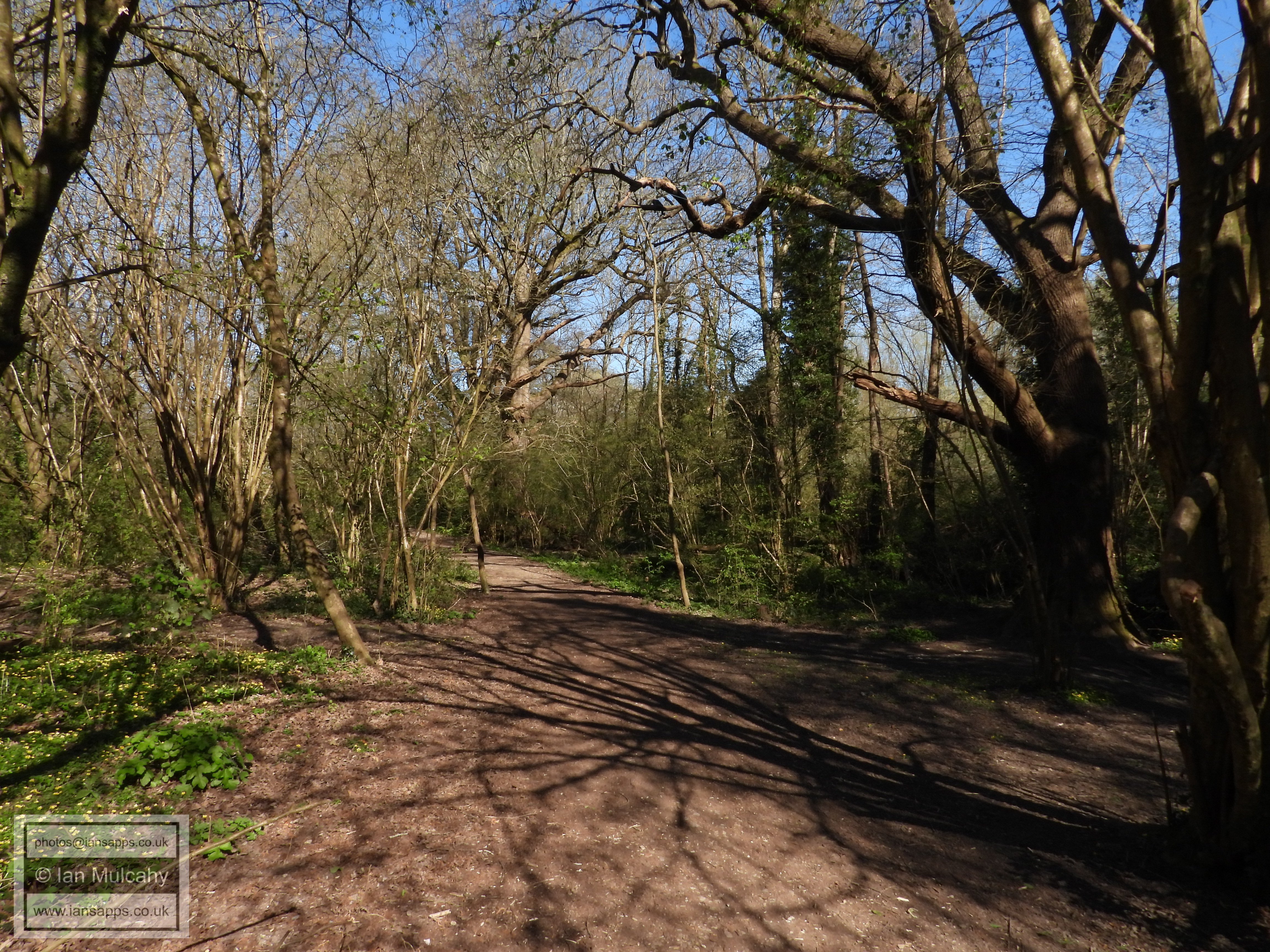
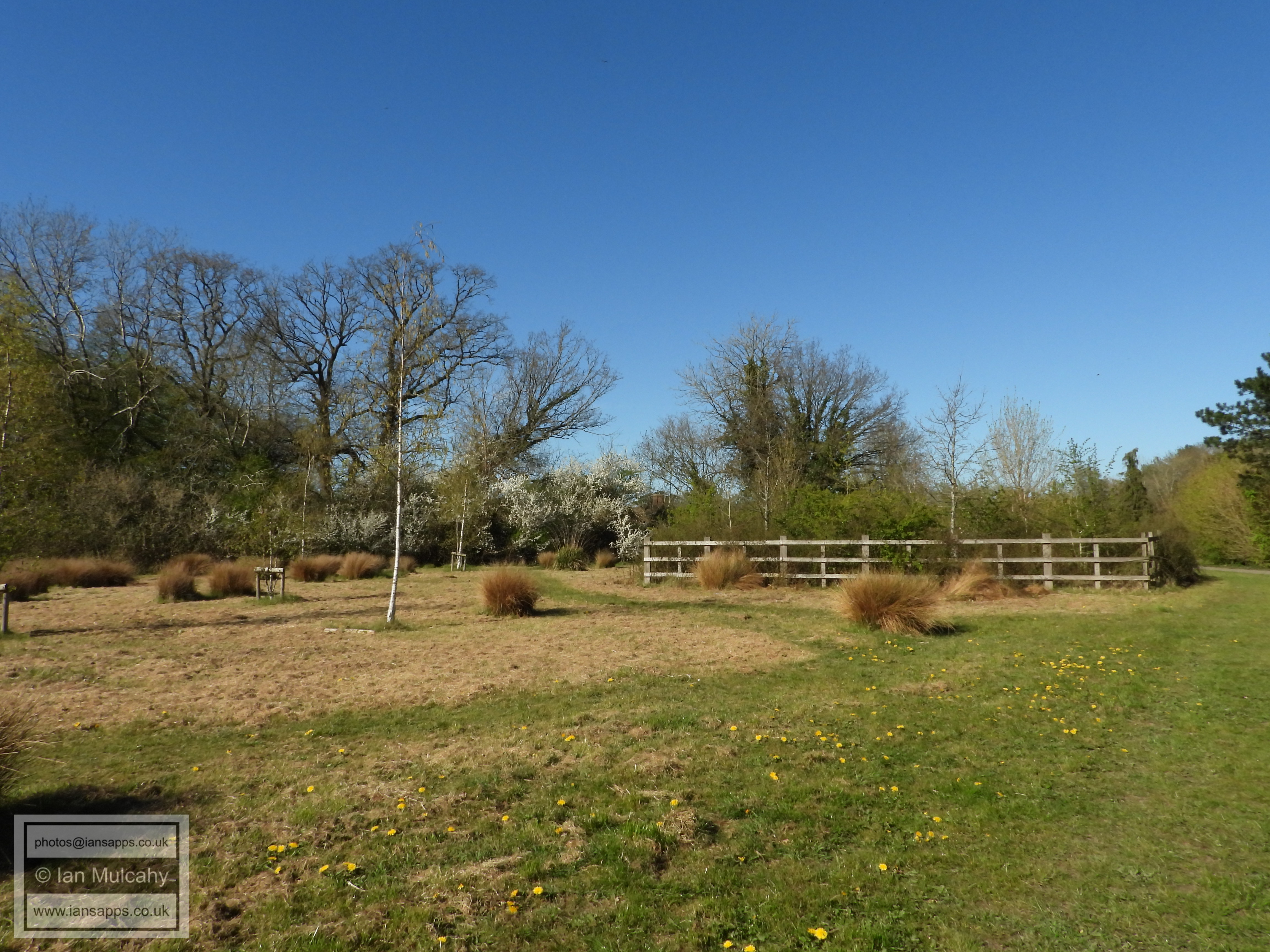
Tilgate Forest
Tilgate Forest
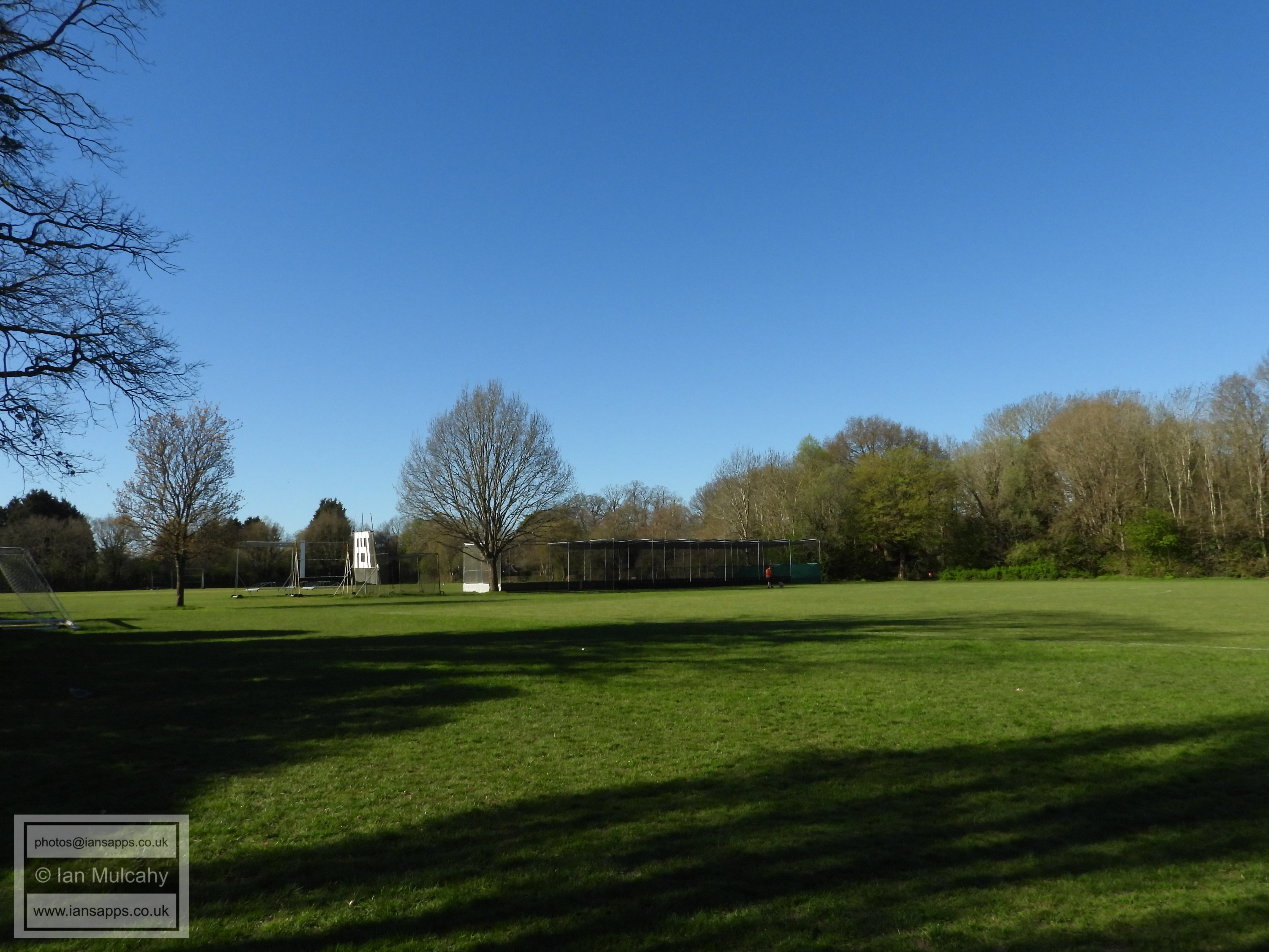
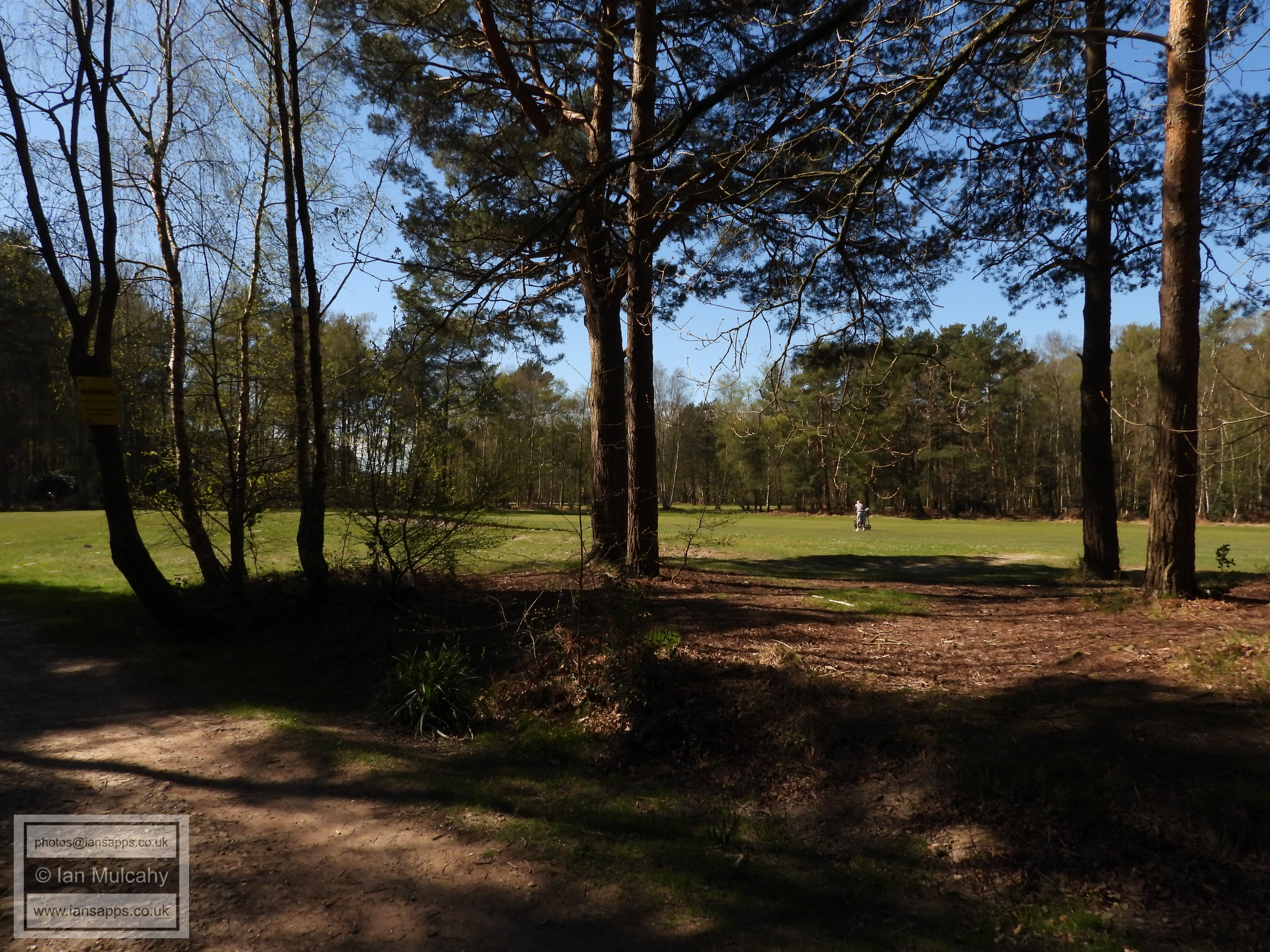
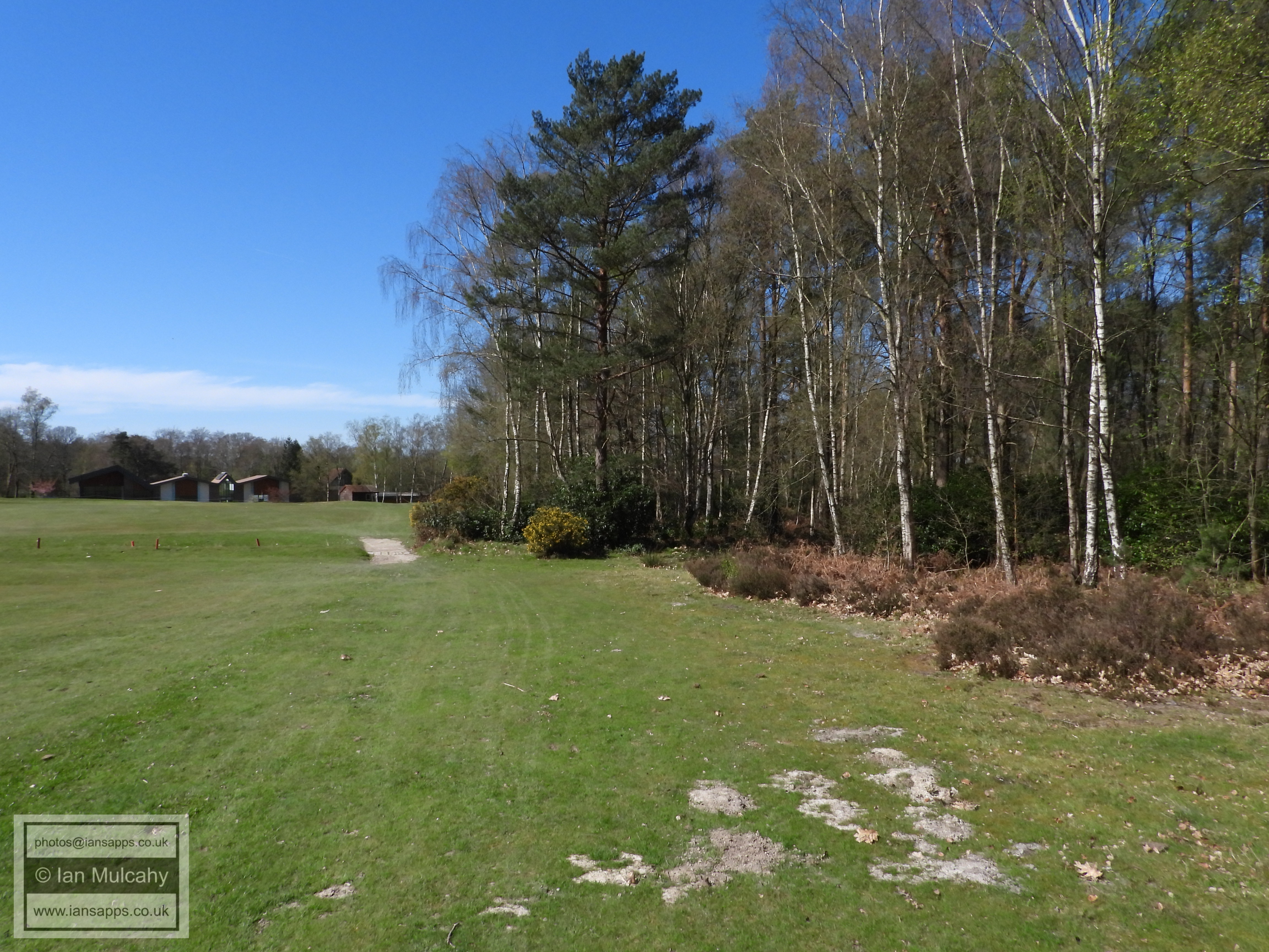
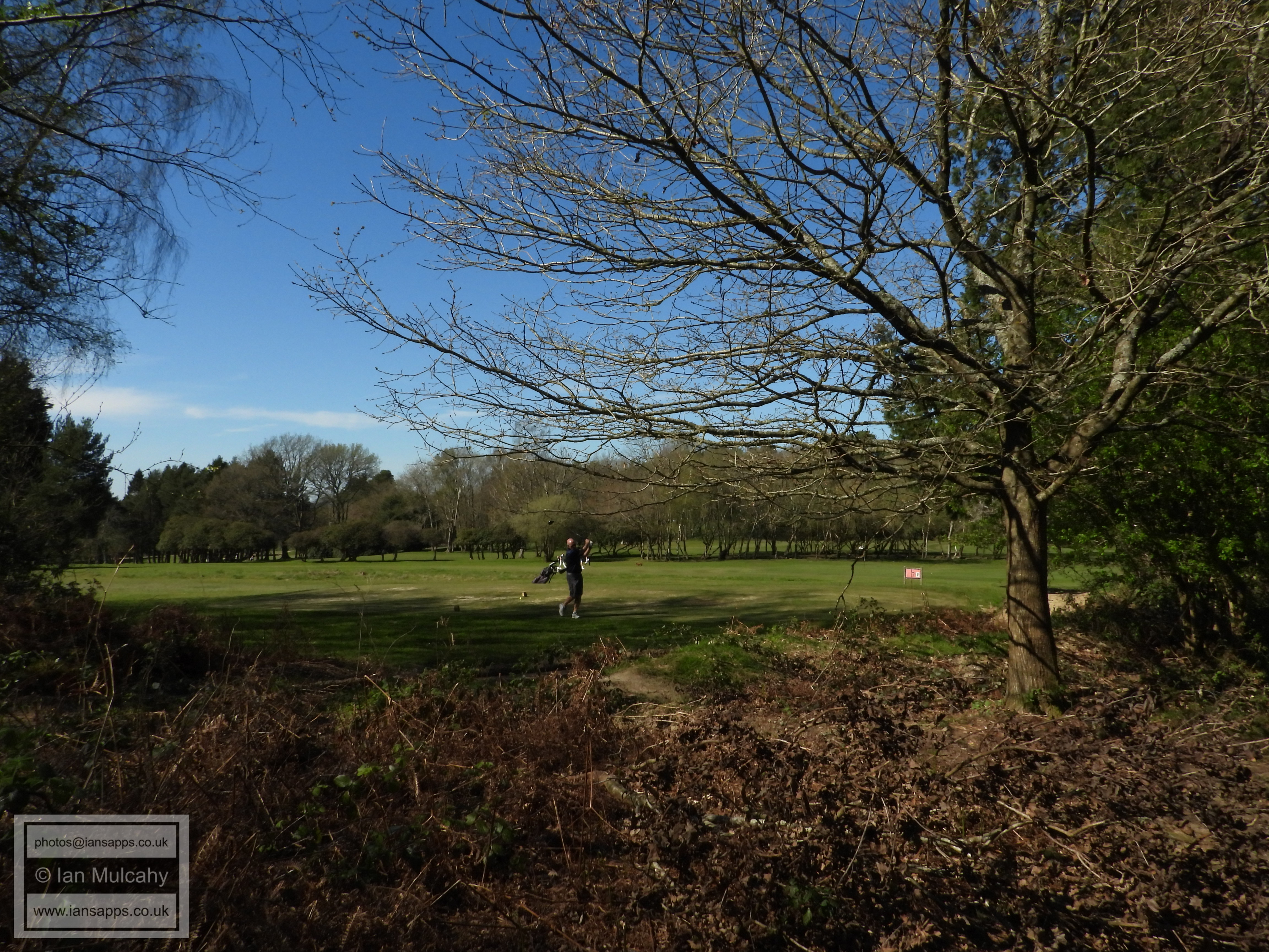
Tilgate Forest Golf Course
Tilgate Forest Golf Course
Tilgate Forest Golf Course
Tilgate Forest
Tilgate Forest
Tilgate Forest Golf Course
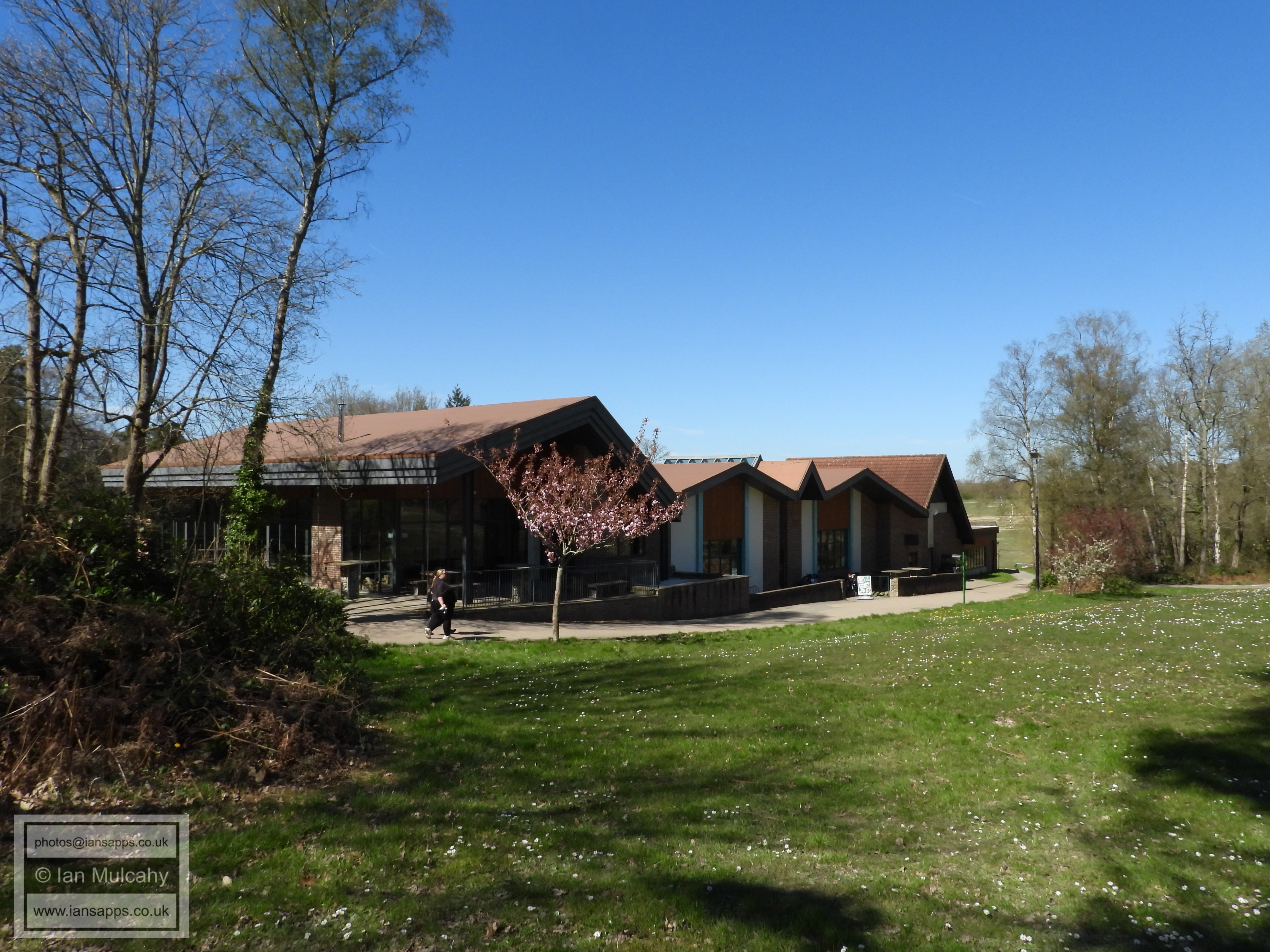
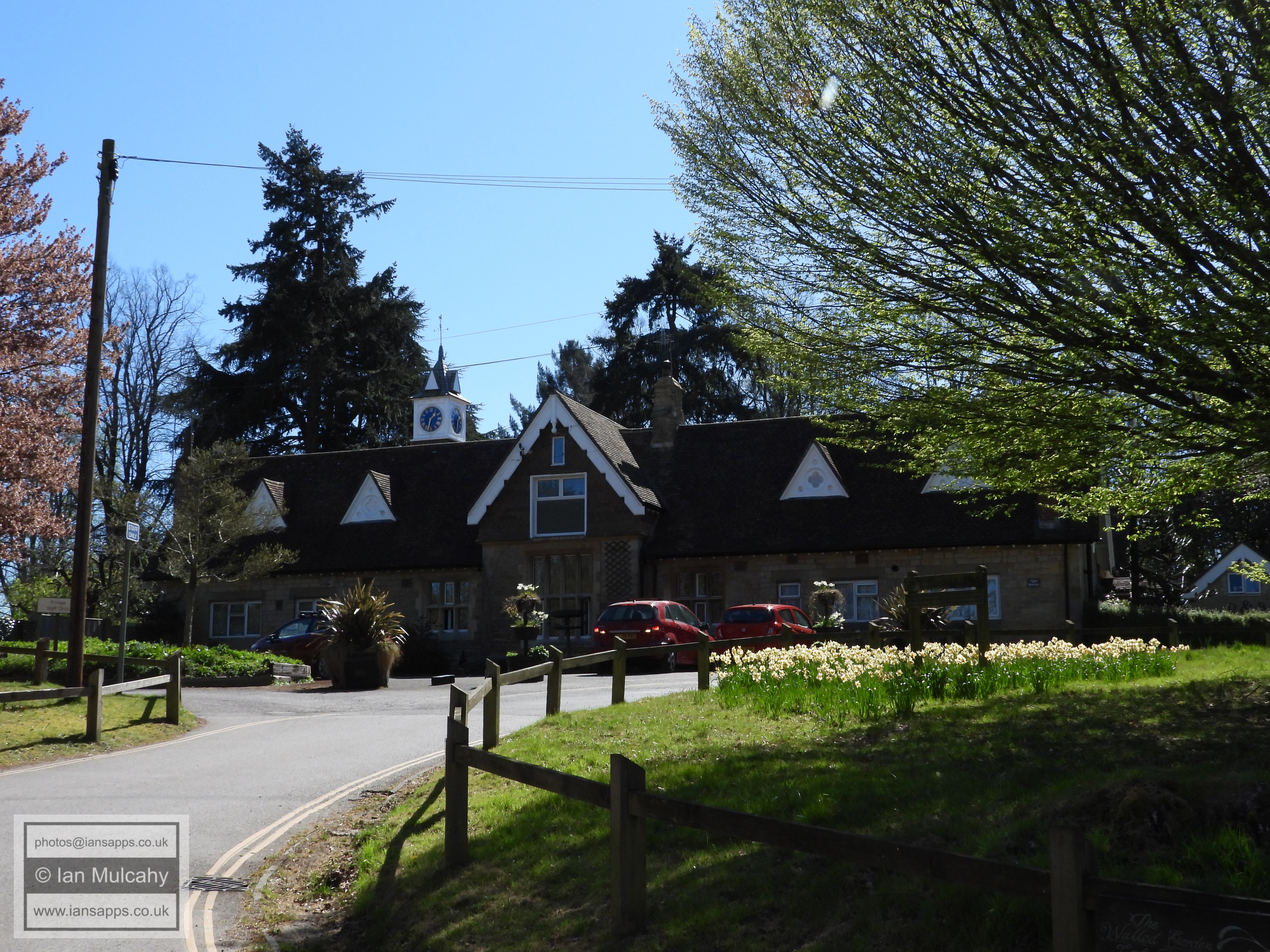
Tilgate Forest Golf Centre
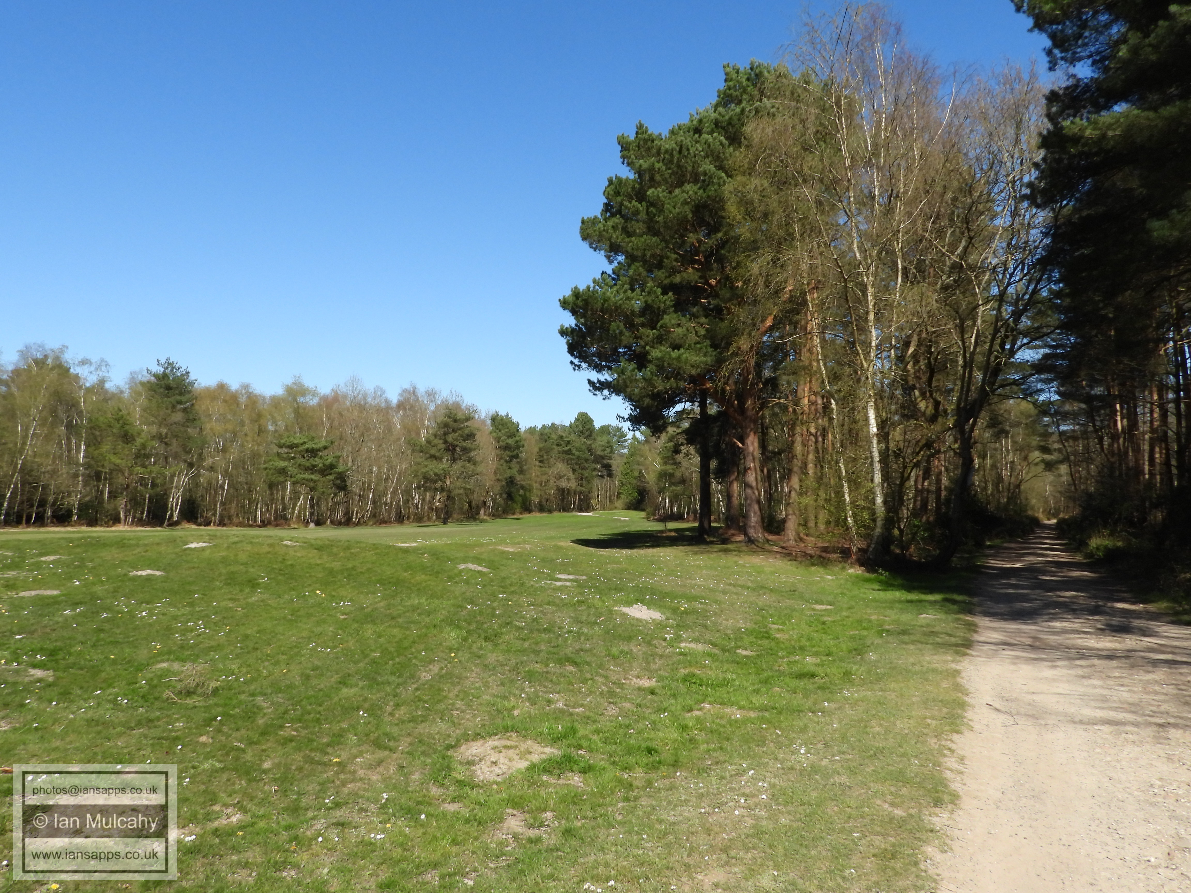
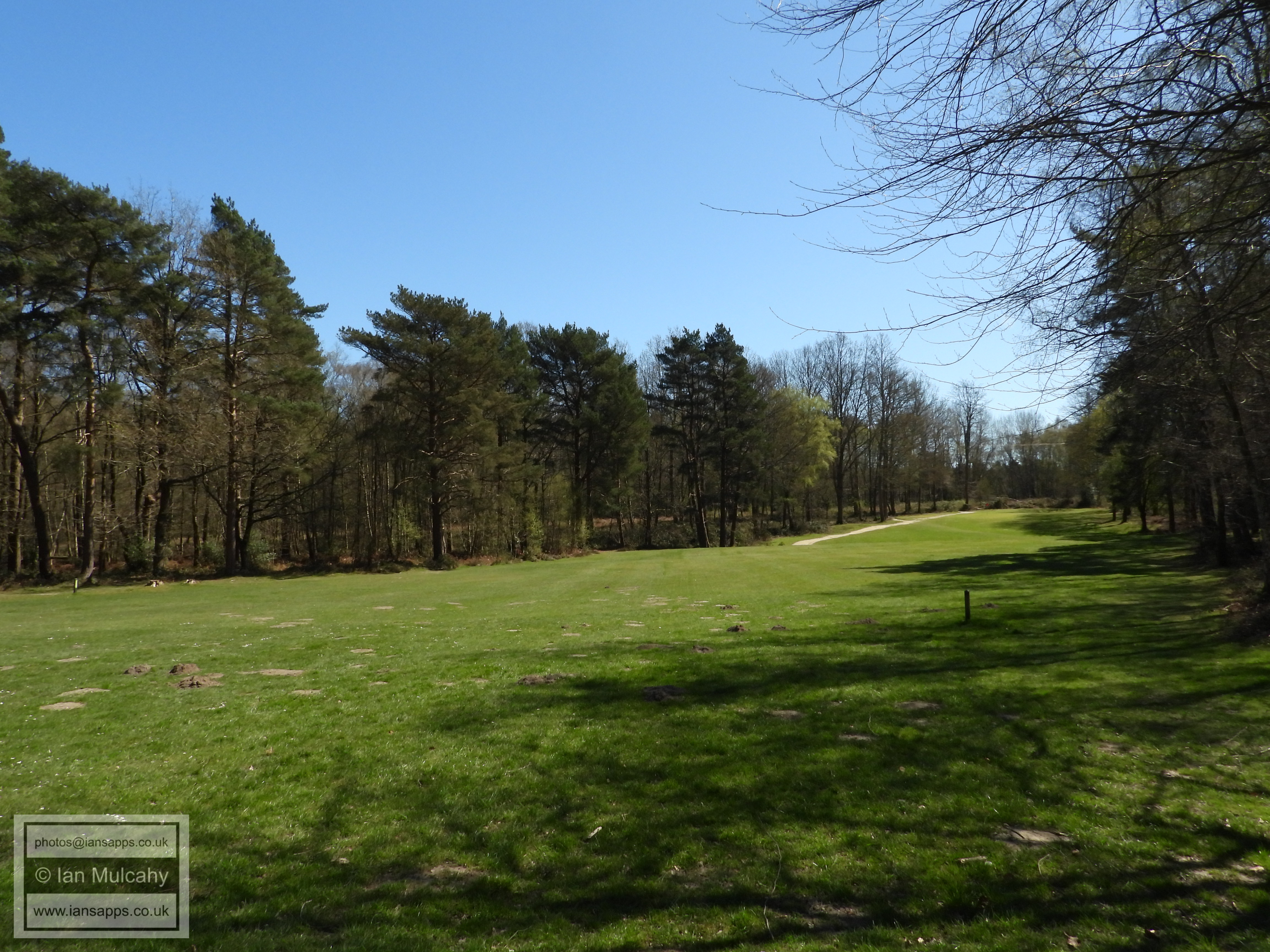
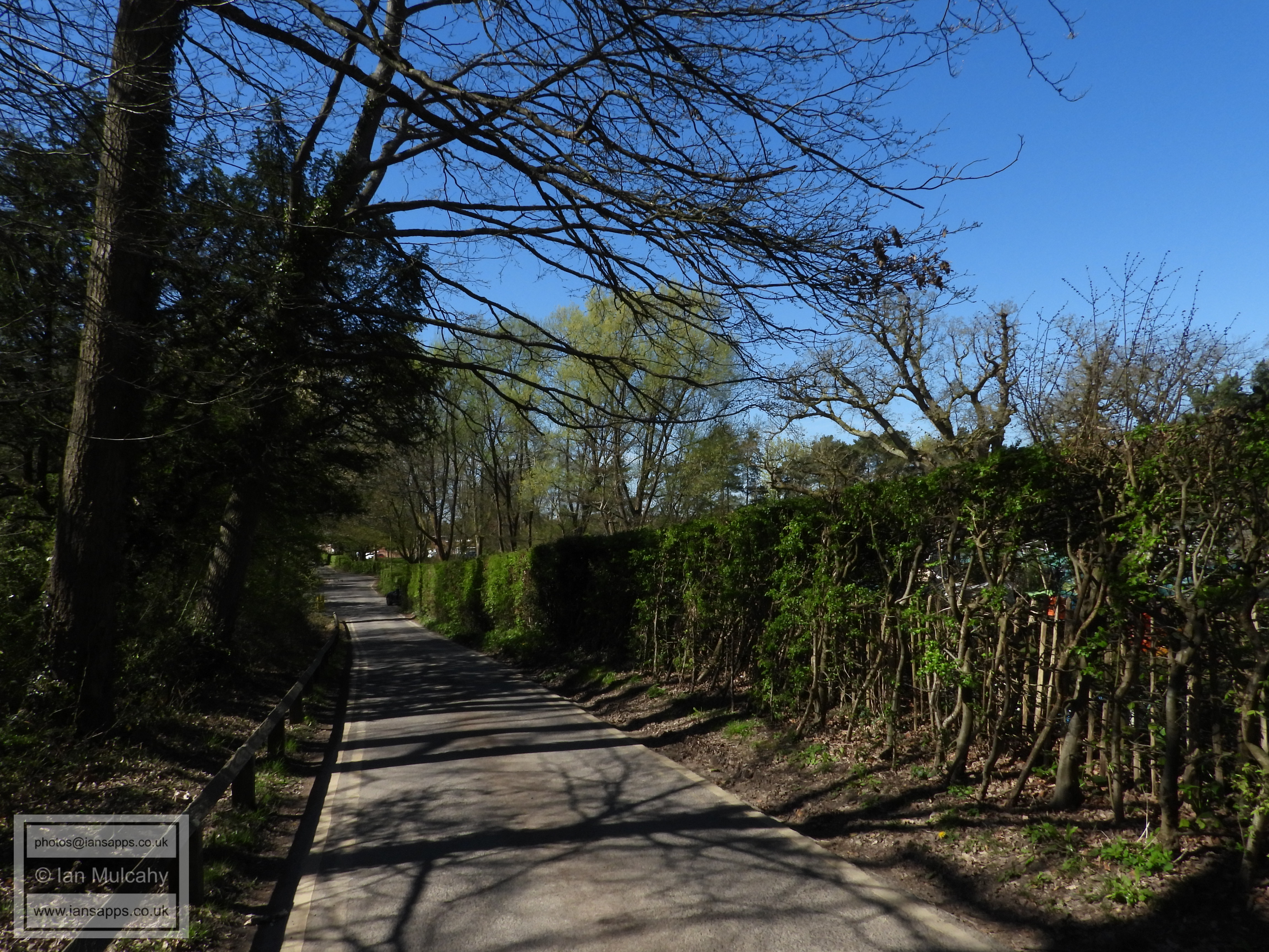
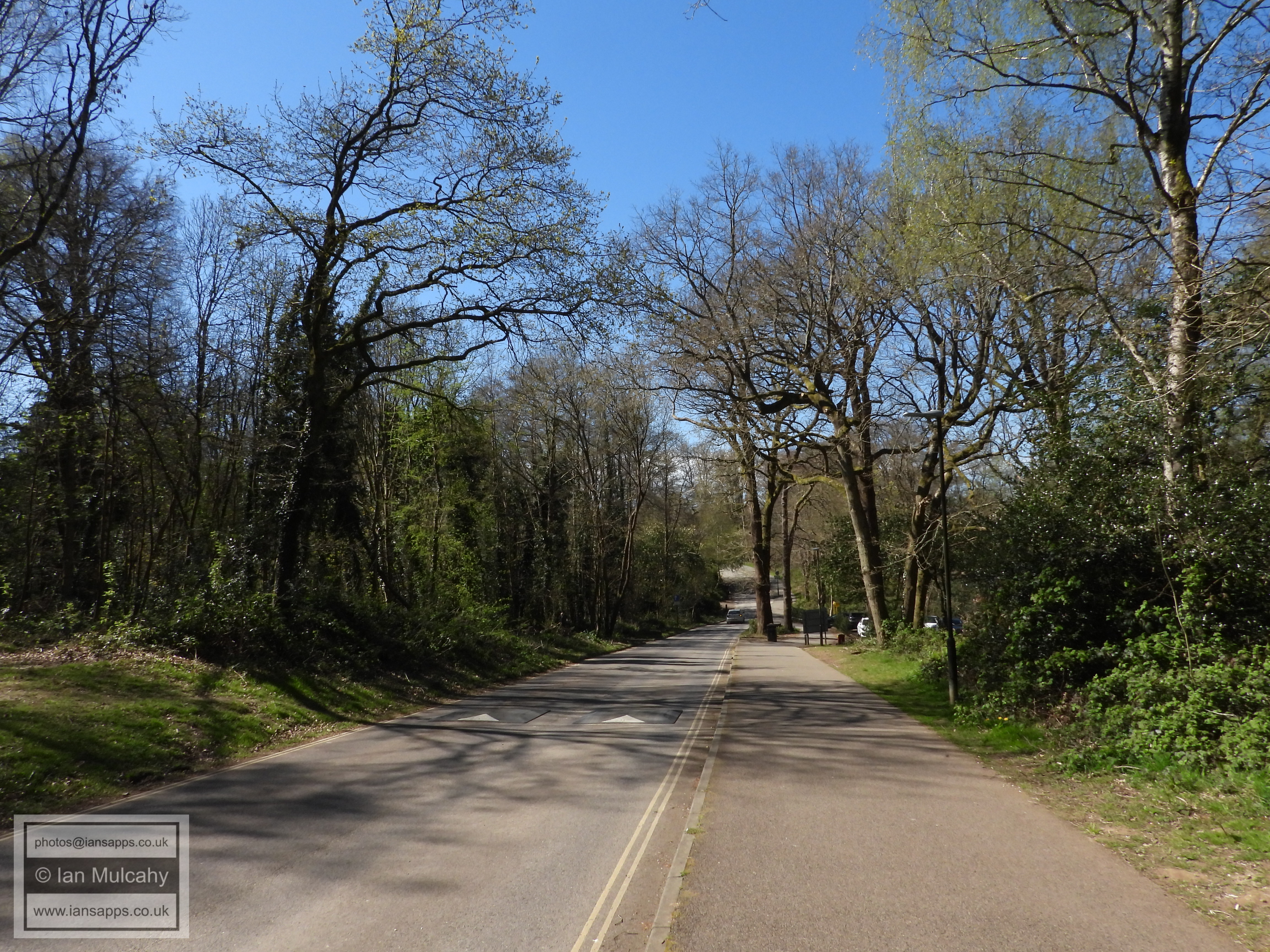
Tilgate Drive
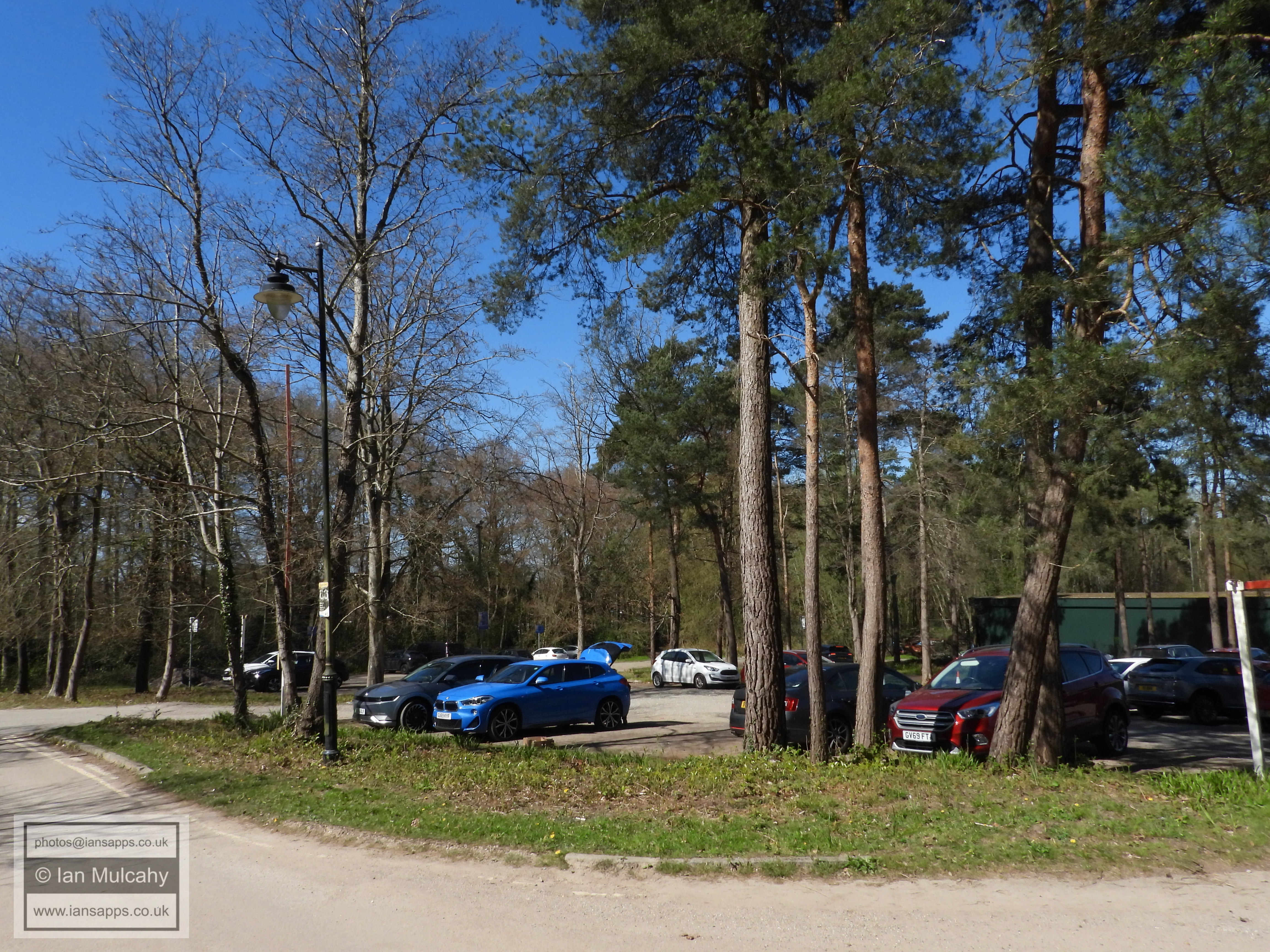
Tilgate Forest Golf Course car park
An old bridge over the spillway from Tilgate Lake, probably contemporary with Tilgate Mansion.
Tilgate Drive
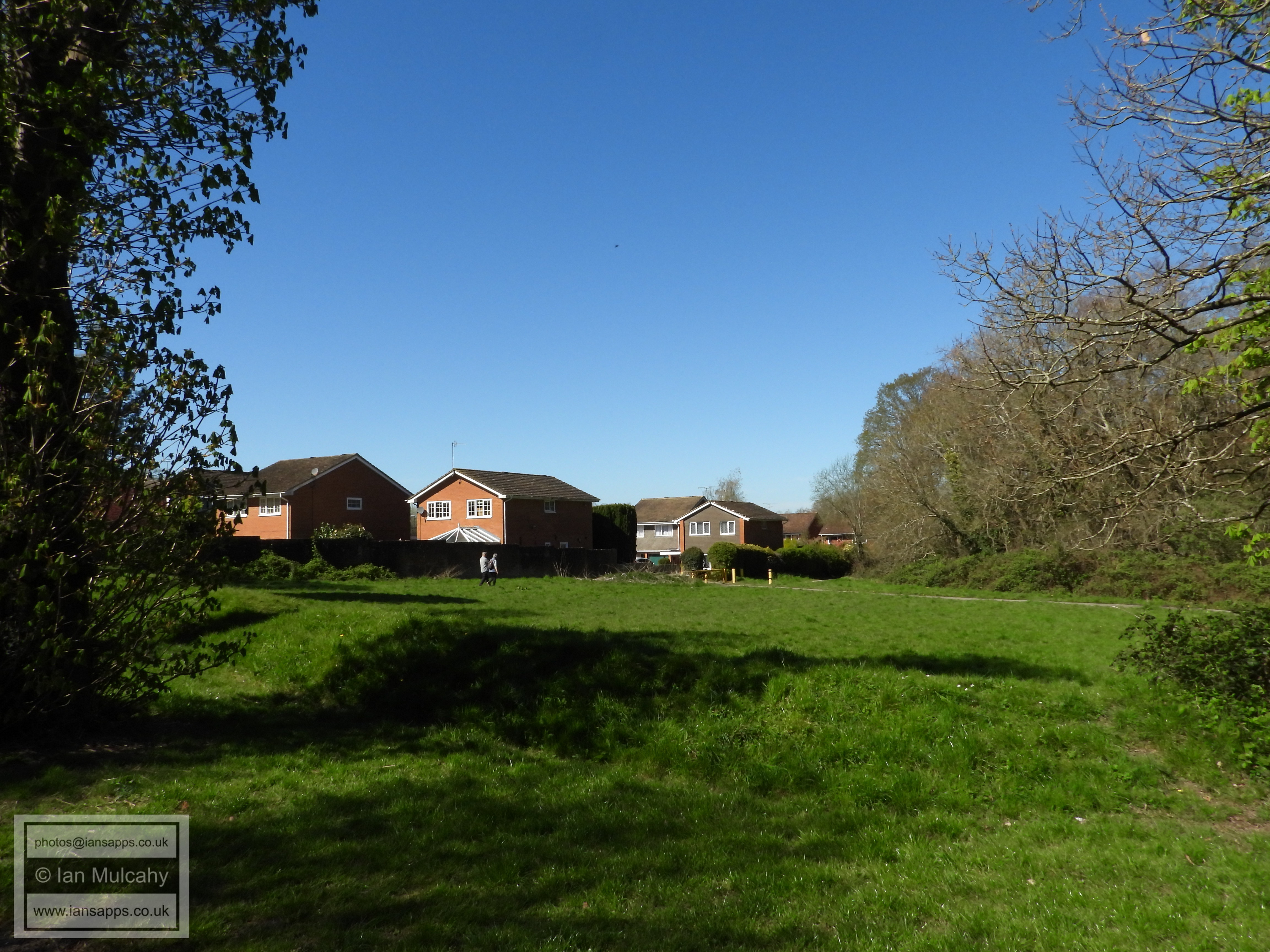
Looking north towards Gainsborough Road Playing Fields from Tilgate Drive
Tilgate Drive
Titmus Drive
Looking towards the lake from Tilgate Drive
Tilgate Drive
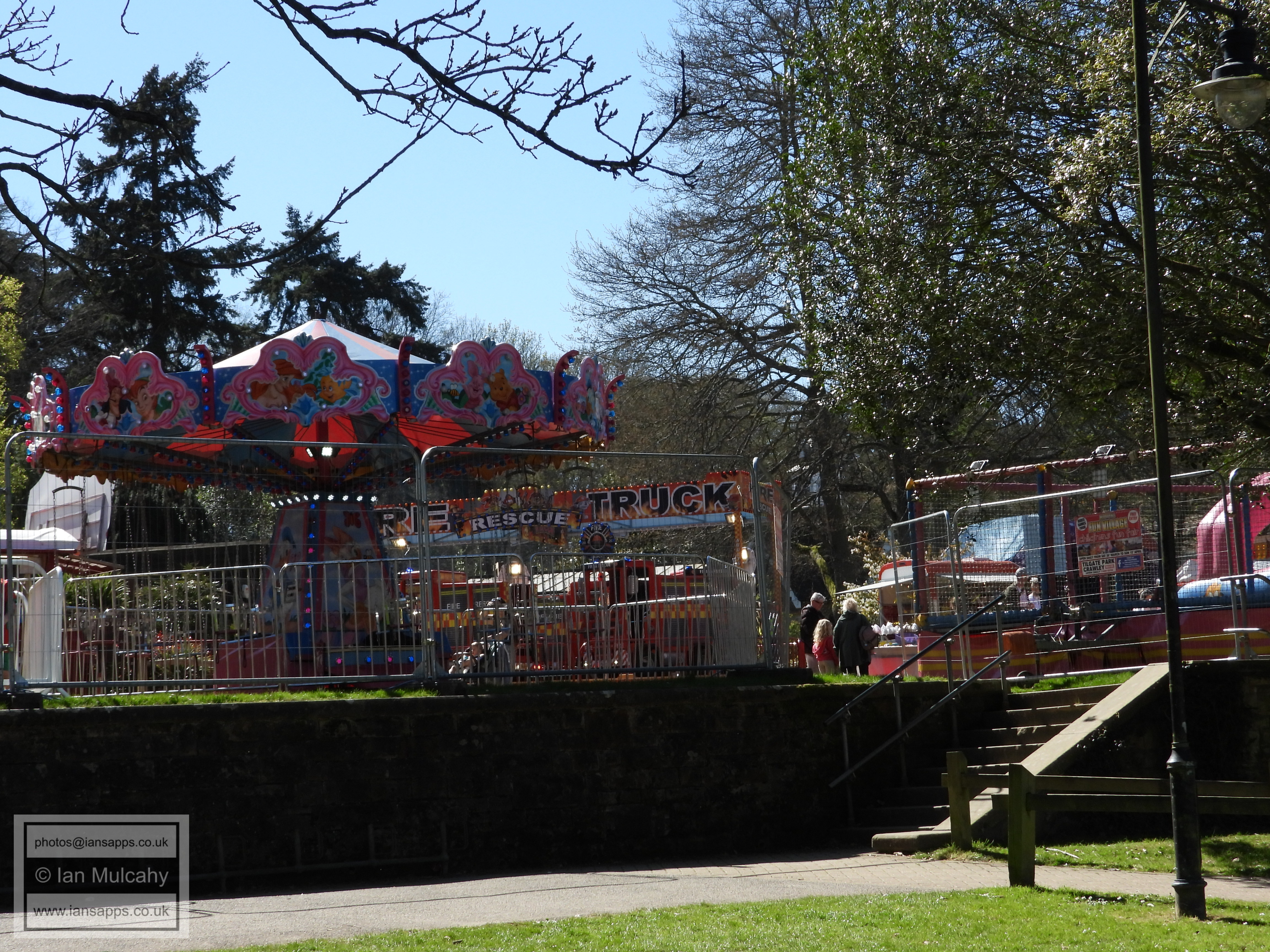
A fairground outside the Smith & Western restuarant
The former stables to Tilgate Mansion
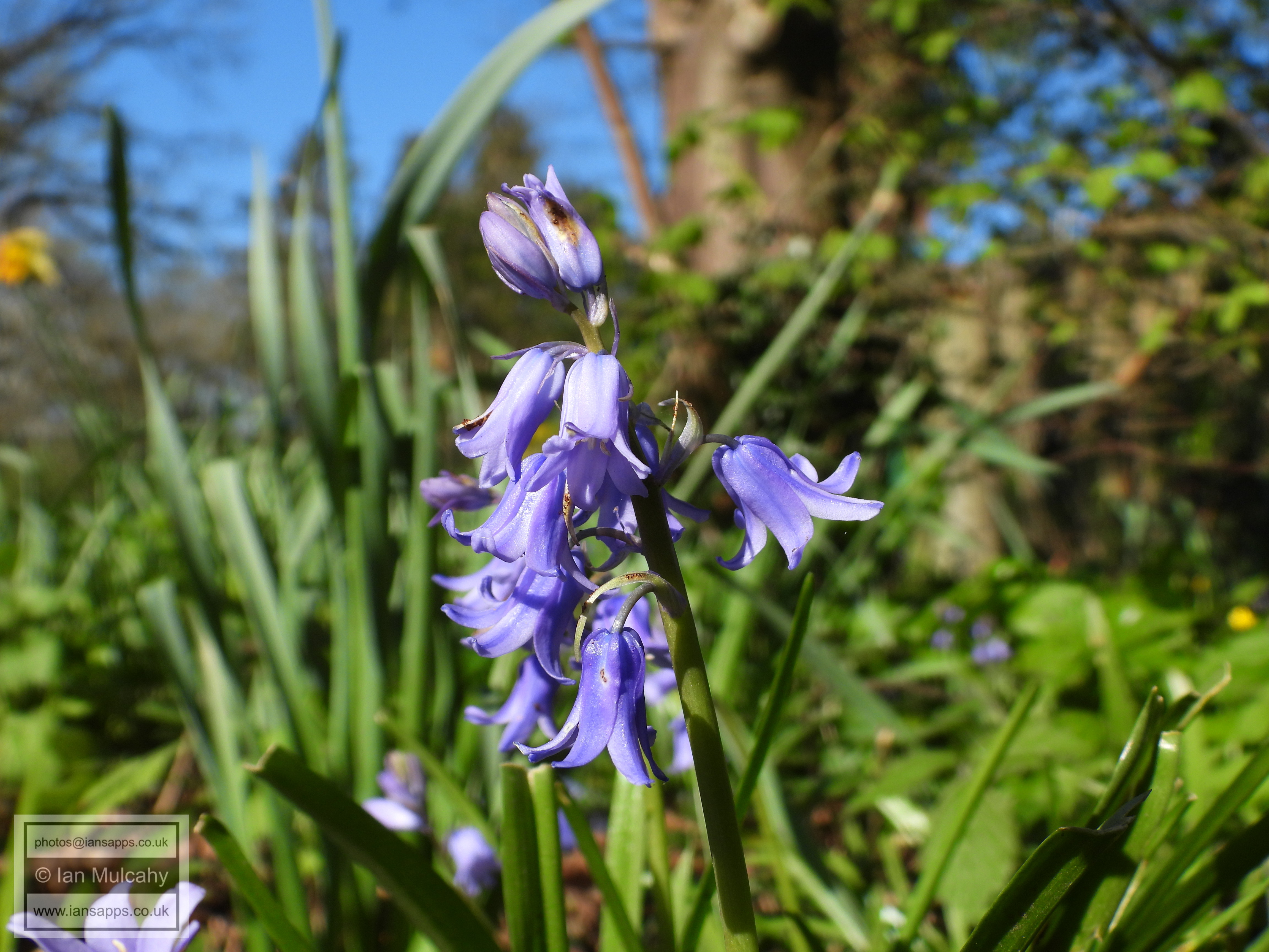
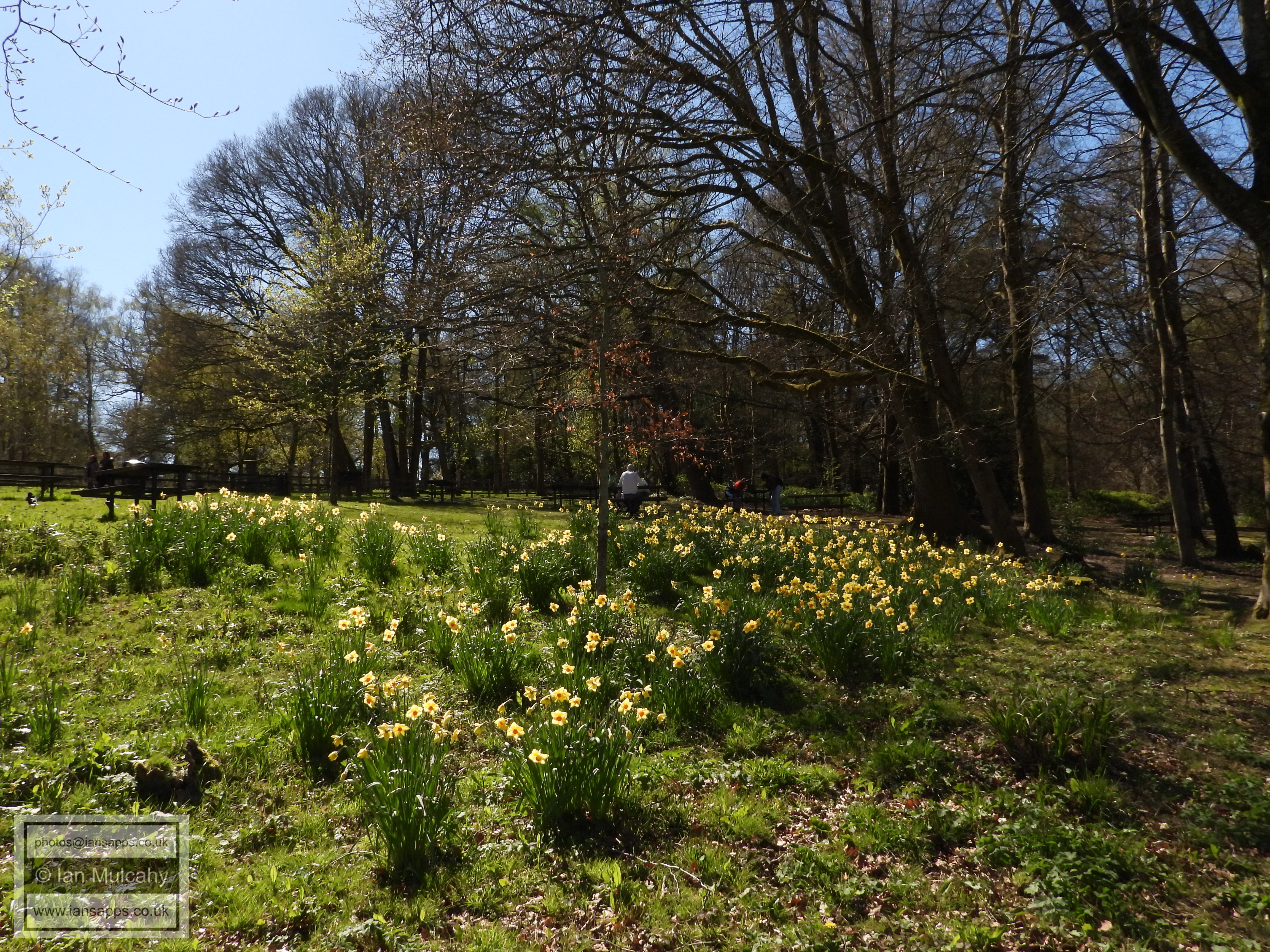
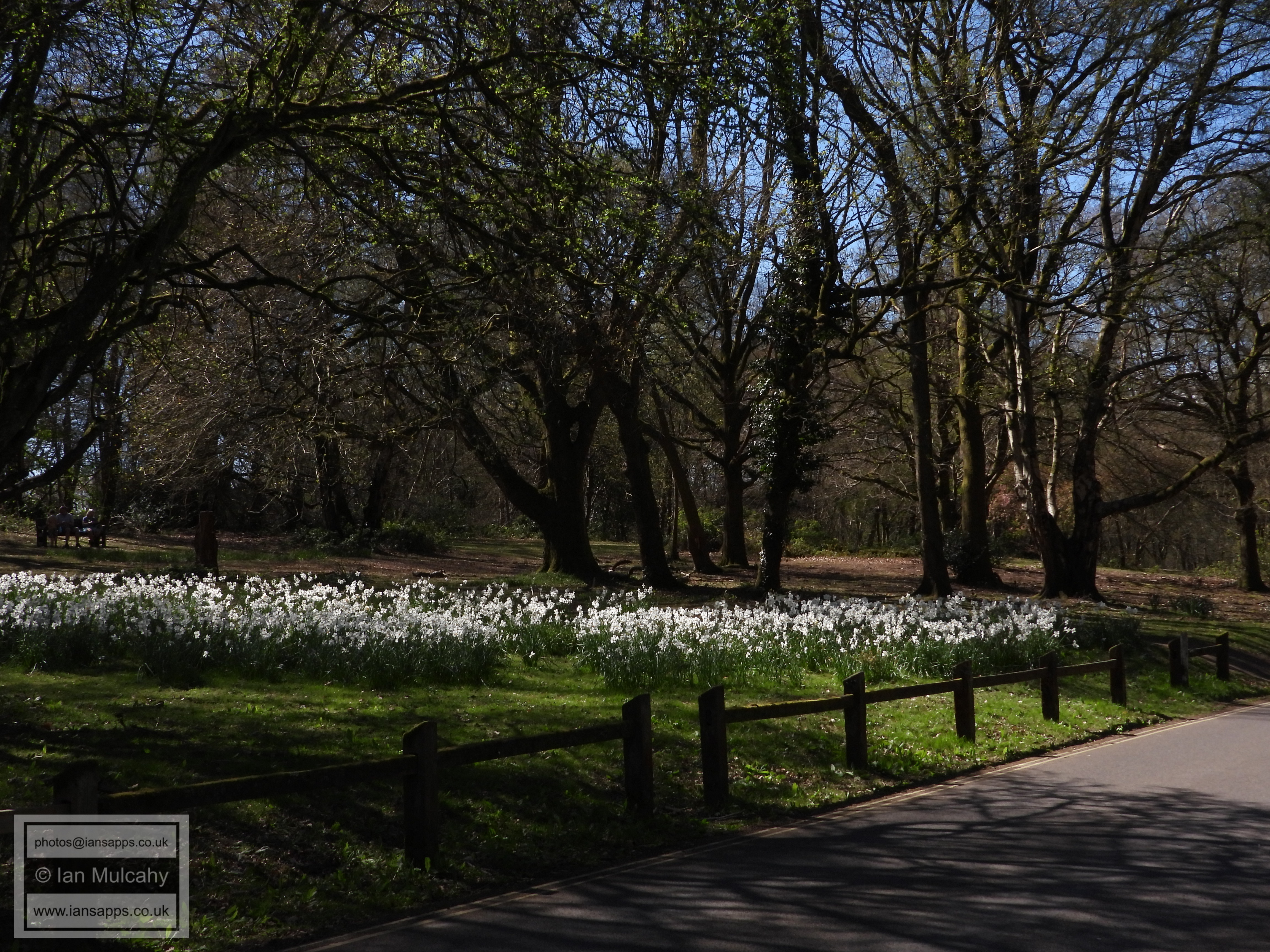
Tilgate Drive daffodils
Tilgate Drive daffodils
Tilgate Drive
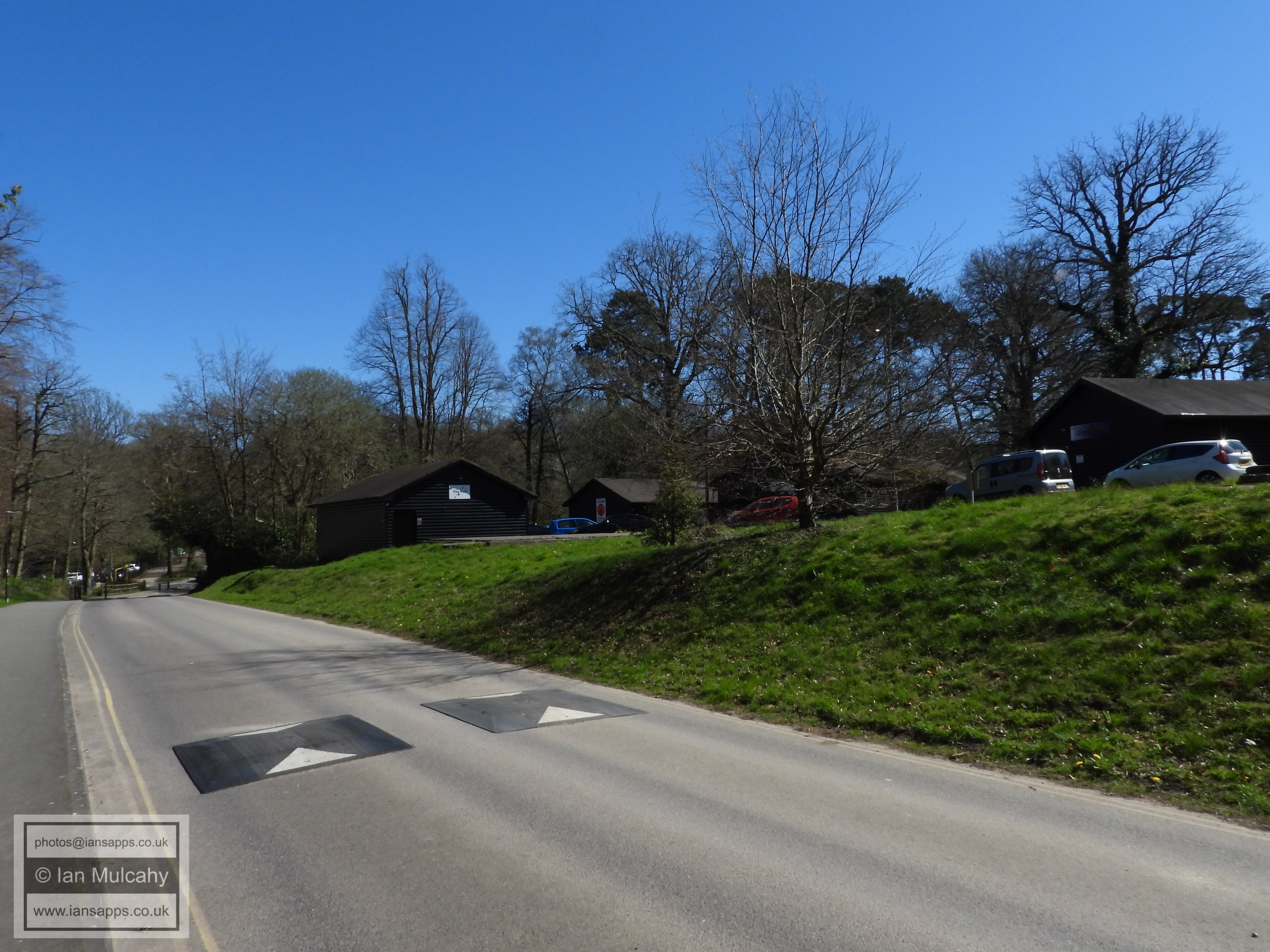
The huts
Tilgate Drive
The pathway besides K2 and K2 car park
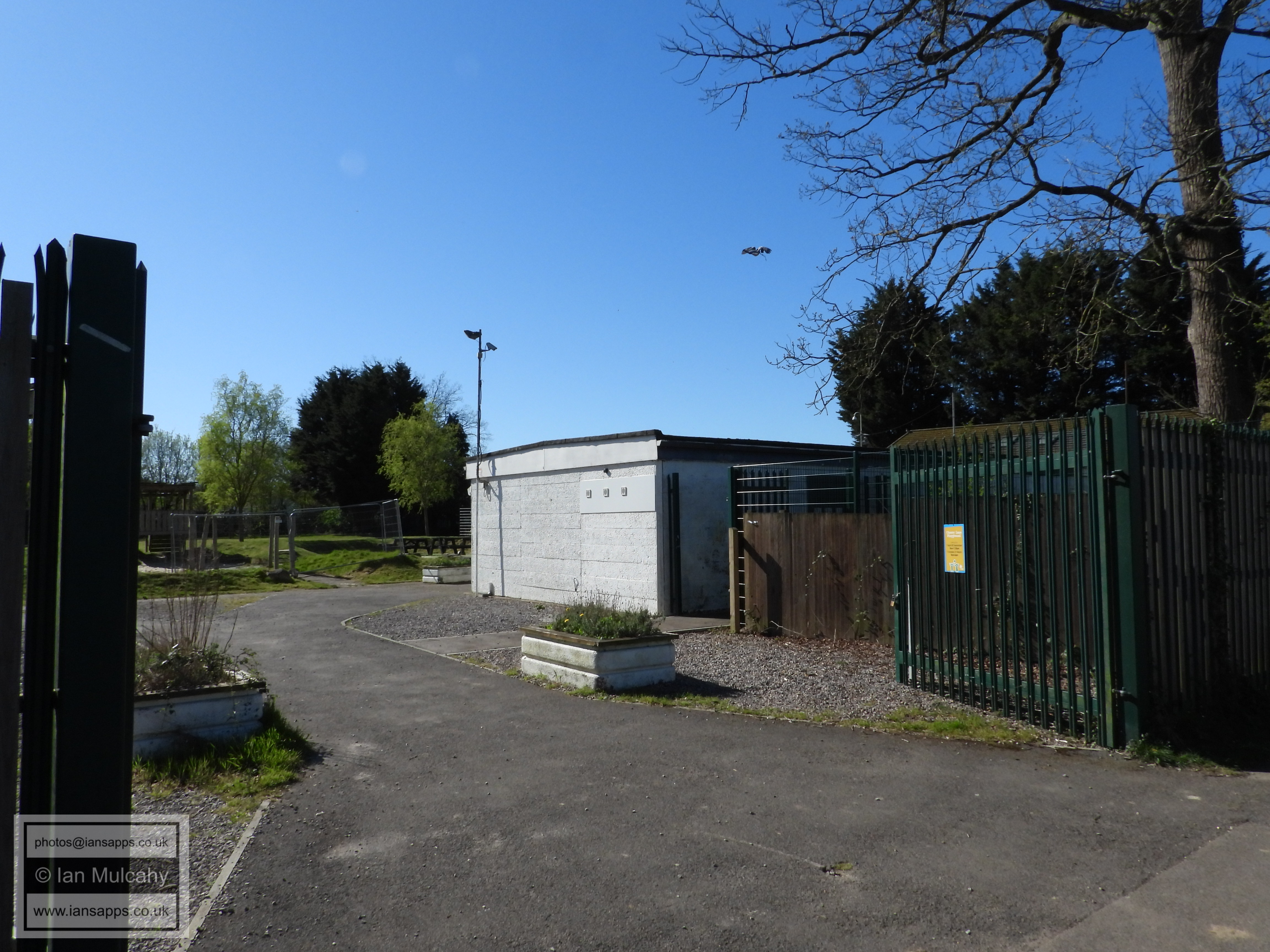
K2 Leisure Centre
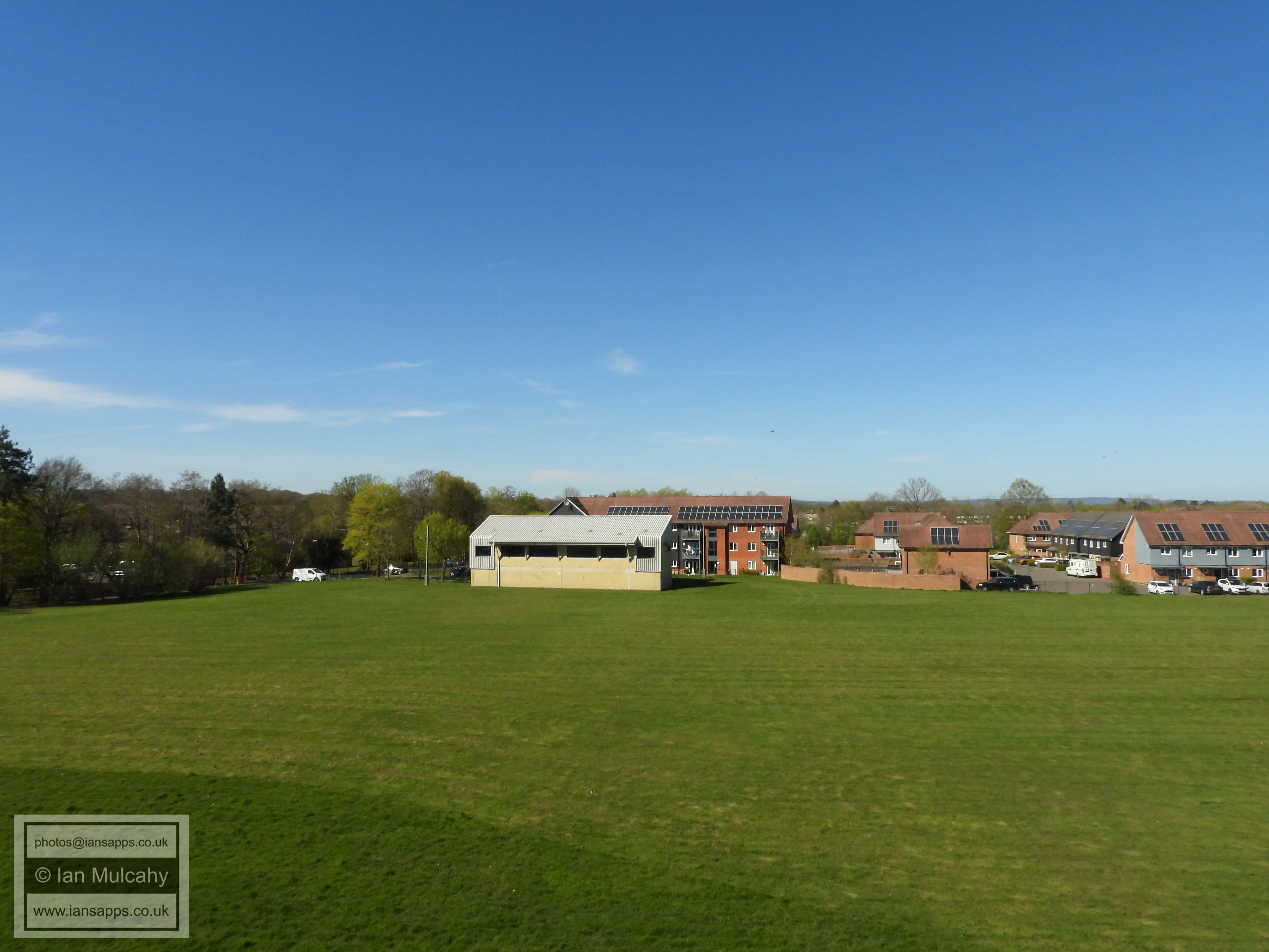
PART FIVE - BROADFIELD PARK TO BUCHAN PARK
From here to Target Hill, I have taken my own route due to the official route being far from clear.
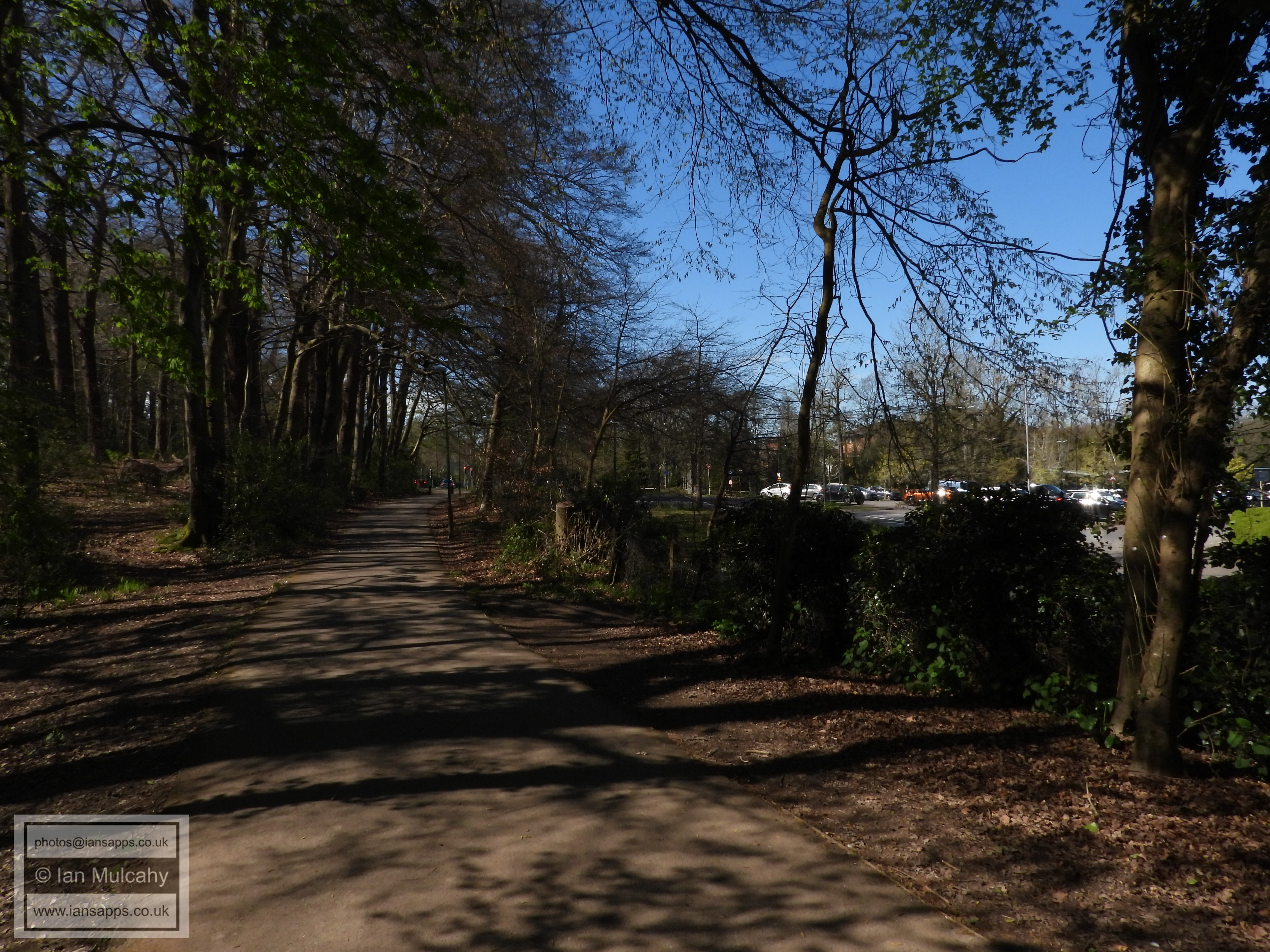
On entering Broadfield park take an immediate left and walk alongside the eastern side of the pond. Keep following the path southwards until you emerge into Chevening Close. At the 't-junction' (of sorts) outside number 41, turn left and then almost immediately right through an alleyway which will take you into and through Box Close and on to Chaldon Road. Keep heading southwards along Chaldon Road and veer left into the parking area. A little hop up a low wall to your right will take you on a pathway into Otford Close from where you can turn left and access the footway alongside the A23 Brighton Road.
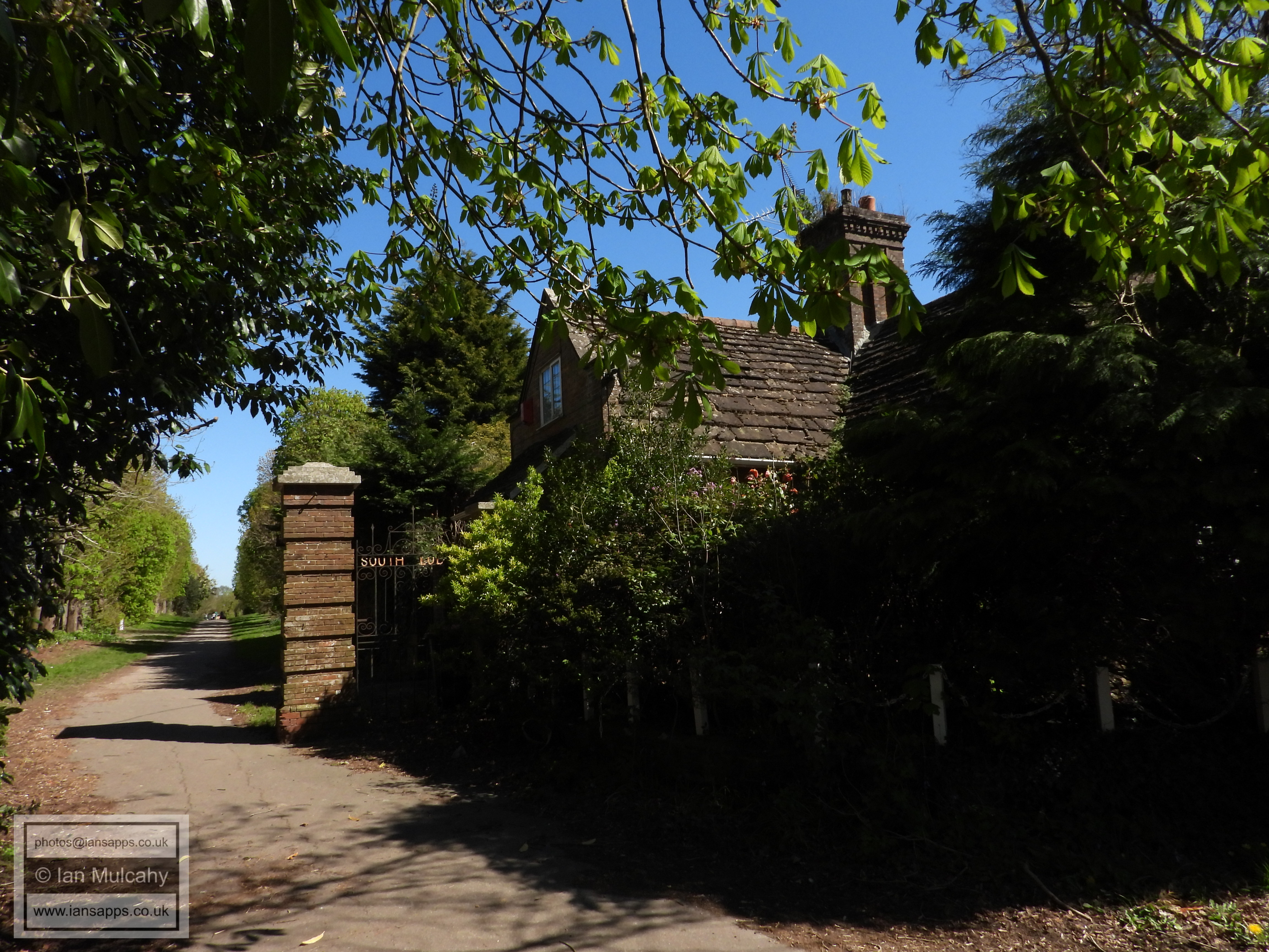
Once you're on this path, head up the hill towards the roundabout and, at the top, cross the South Western Bypass to access the Old Brighton Road in Pease Pottage (up the steps). Keep walking southwards until you come to the East Lodge to Buchan House (Cottesmore School). Turn right down the track alongside the lodge and follow it past the rear of Little Trees Cemetery and Stanford Scot Camp until you arrive at Buchan House.
At Buchan house, turn right to join the public bridleway ('North Drive' - another old driveway to the house) and follow this until you reach the subway which goes under the South Western Bypass and takes you into Broadwood Rise. Climb the banking to the left between the two blocks of houses and veer to your right, and then take the immediate left turn to access Edrich Road. Then veer to the left and use the path alongside the bypass to access Grace Road. At the end of Grace Road, turn left into Hobbs Road and then enter Target Hill Nature Reserve.
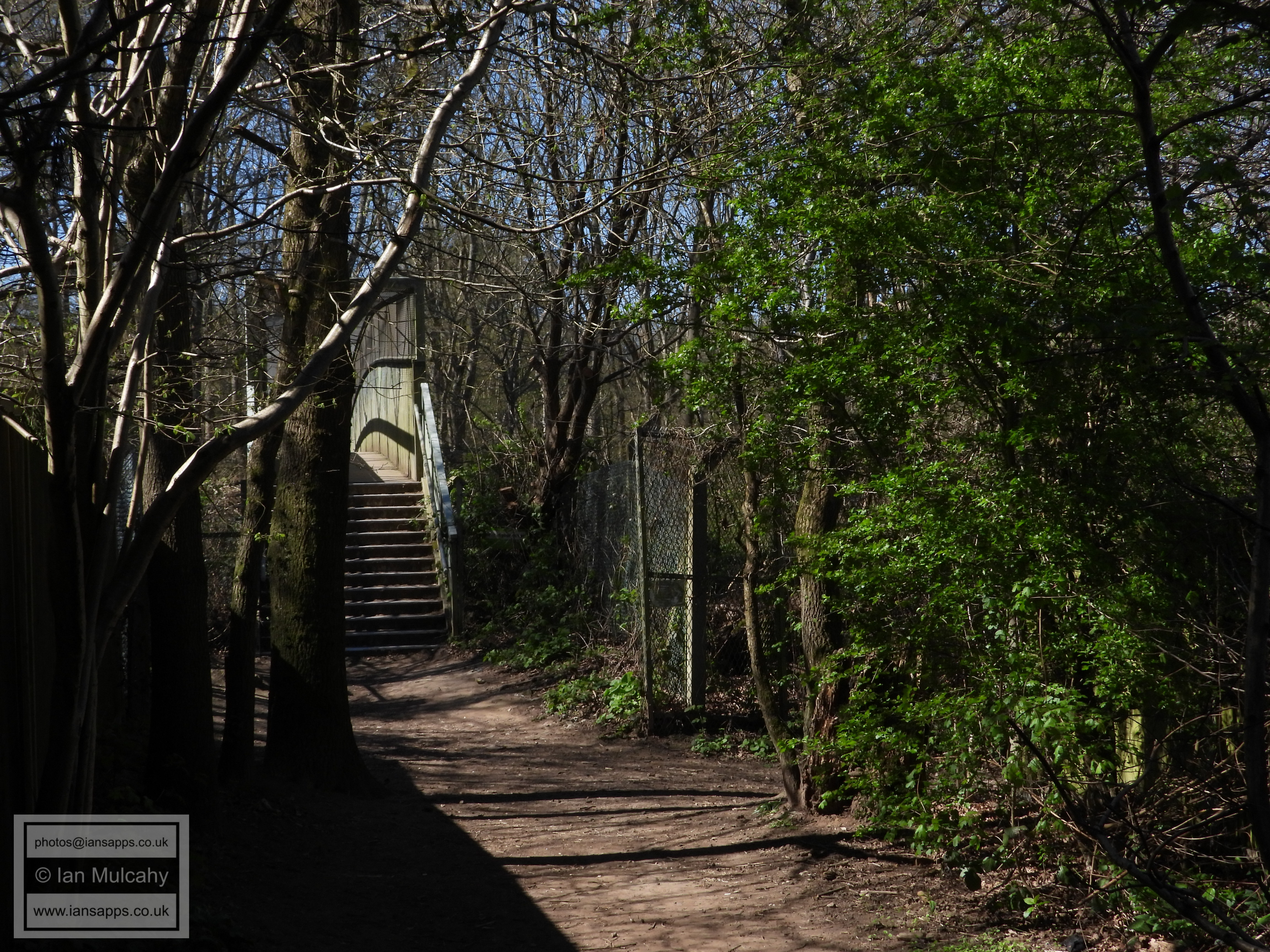
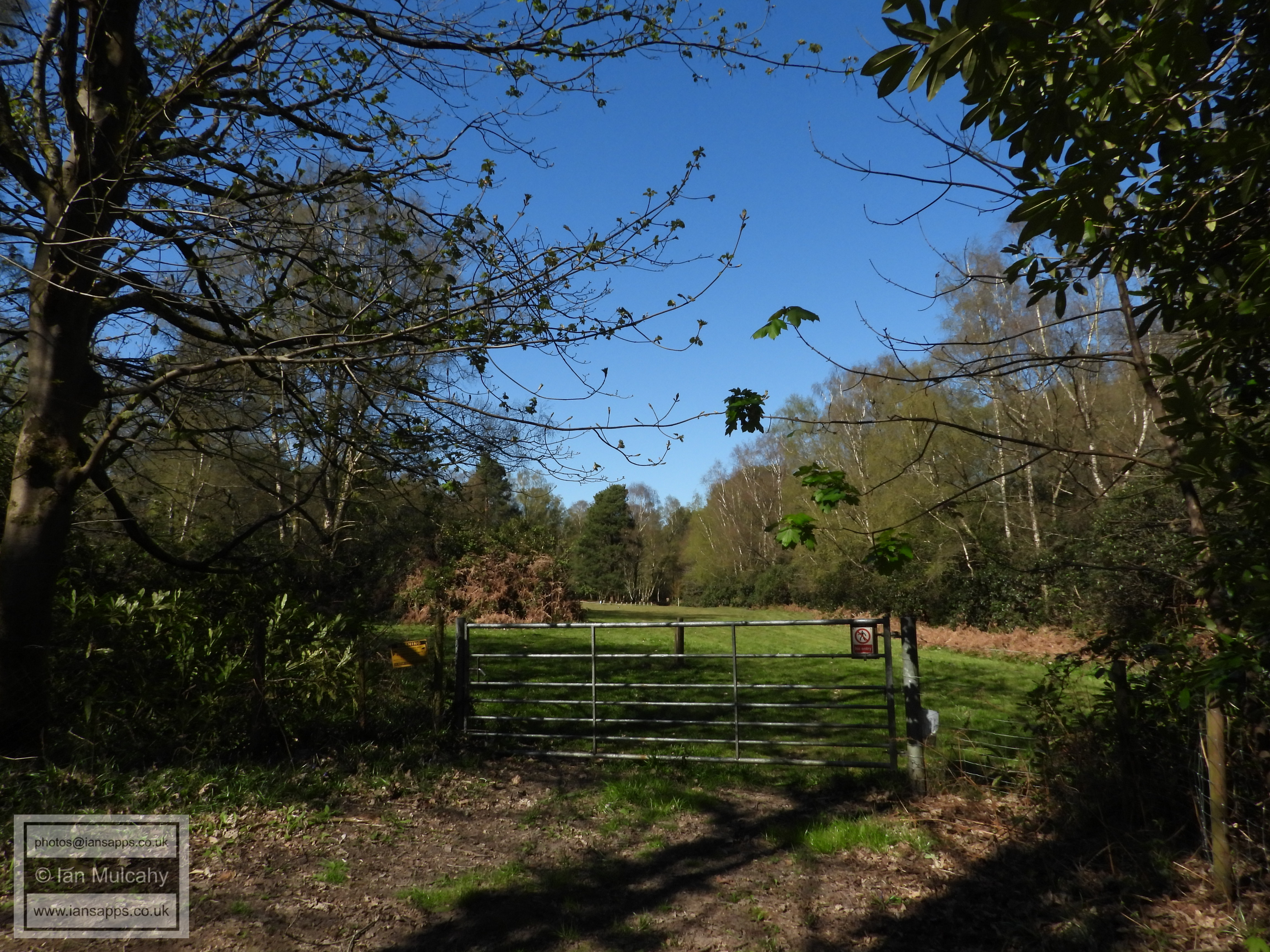
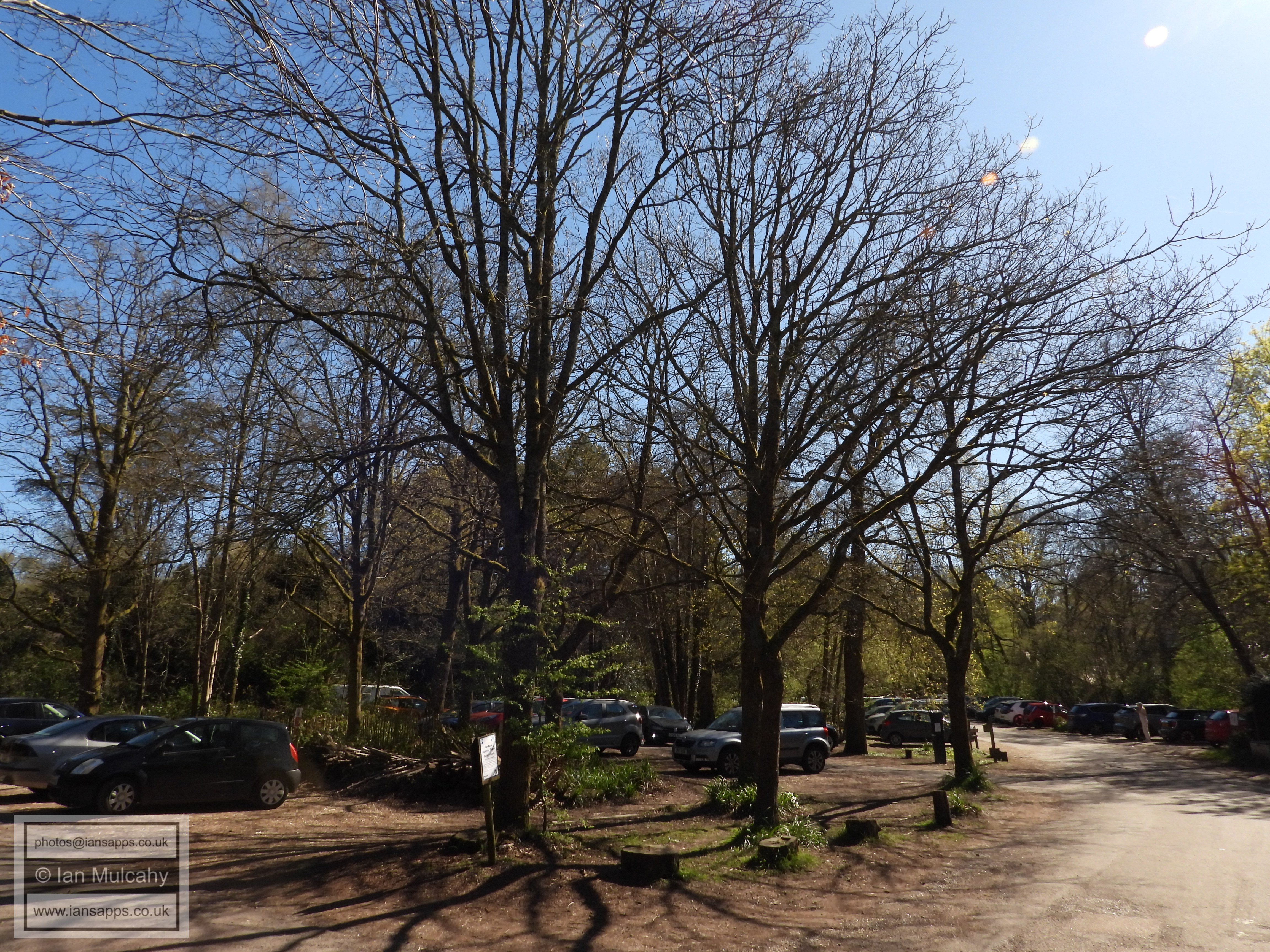
On entering the nature reserve turn left and then keep left. This will take you through to the bridge linking Buchan Park with the visitor centre and car park. Turn right and walk through the car park and along the footpath until you reach the Horsham Road, at which point you should use the bridge to cross into Bewbush.
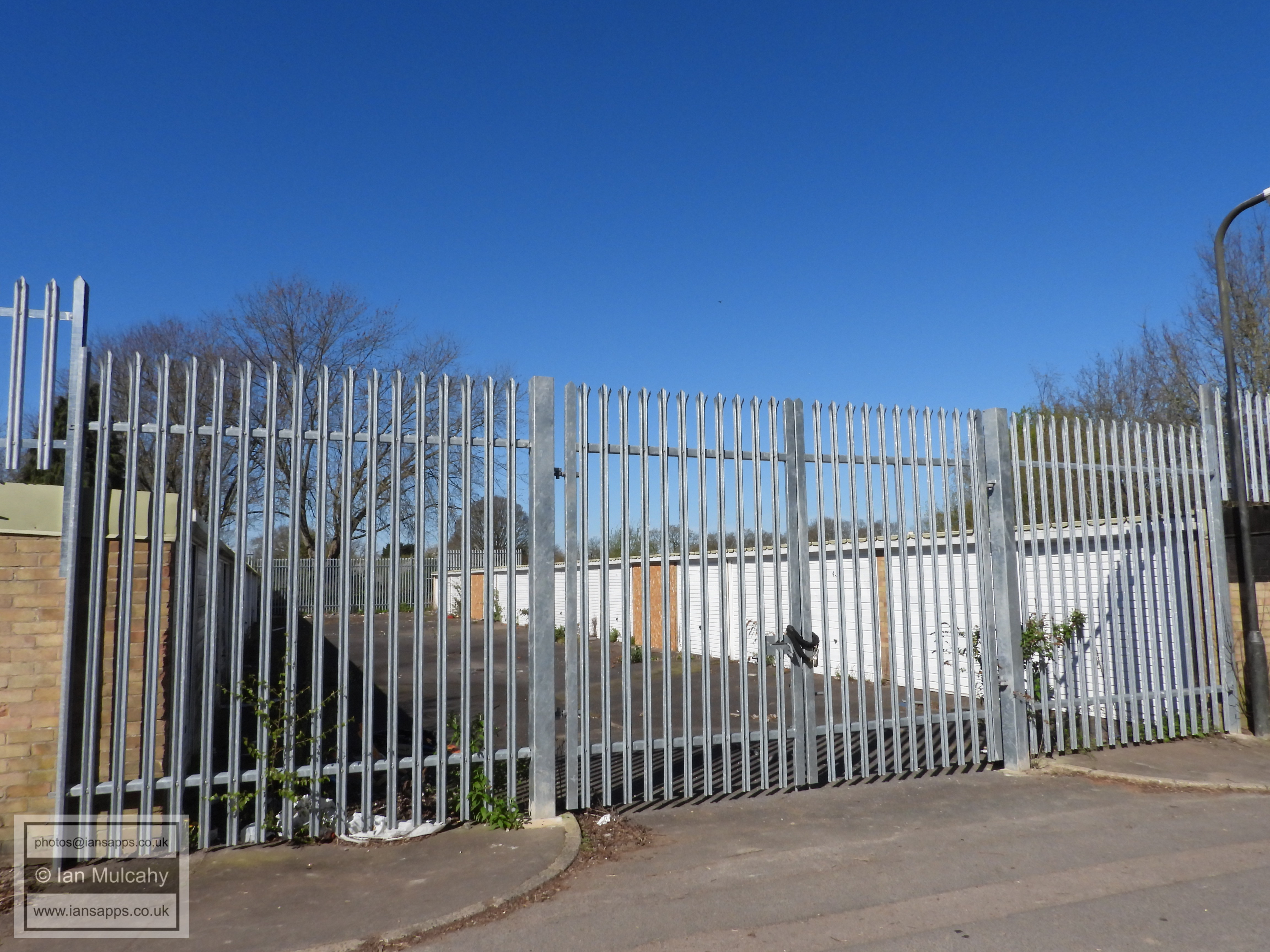
Broadfield Park Business Park.
Broadfield House and Pond.
Broadfield Pond
Bridge to the south of Broadfield Pond, over the stream which feeds it.
Chevening Close
A23 footway
A23 footway
Pease Pottage Roundabout from the northern end of the Old Brighton Road
Old Brighton Road
Old Brighton Road
The driveway to Buchan House
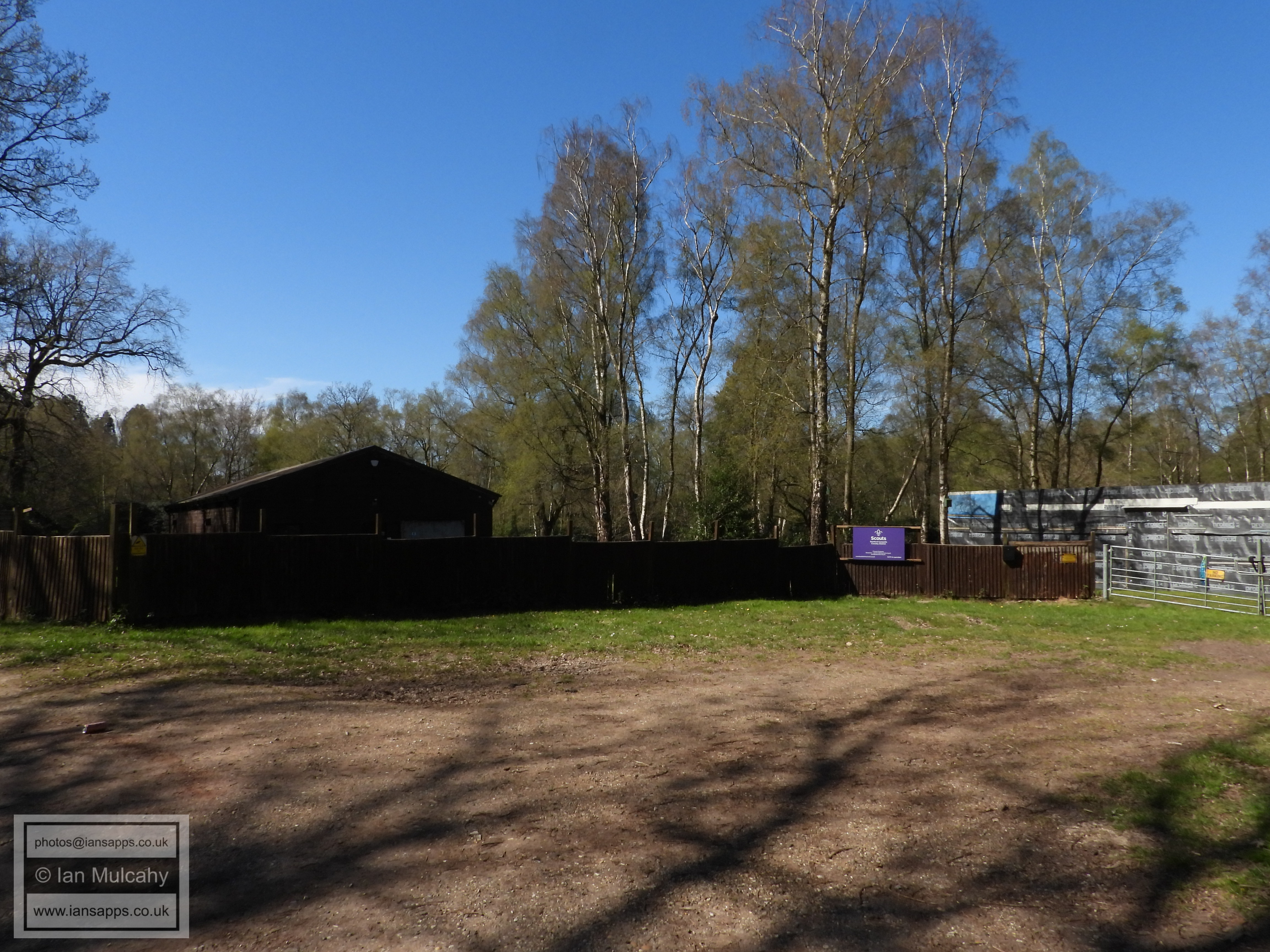
Stanford Scout Camp
Stanford Scout Camp
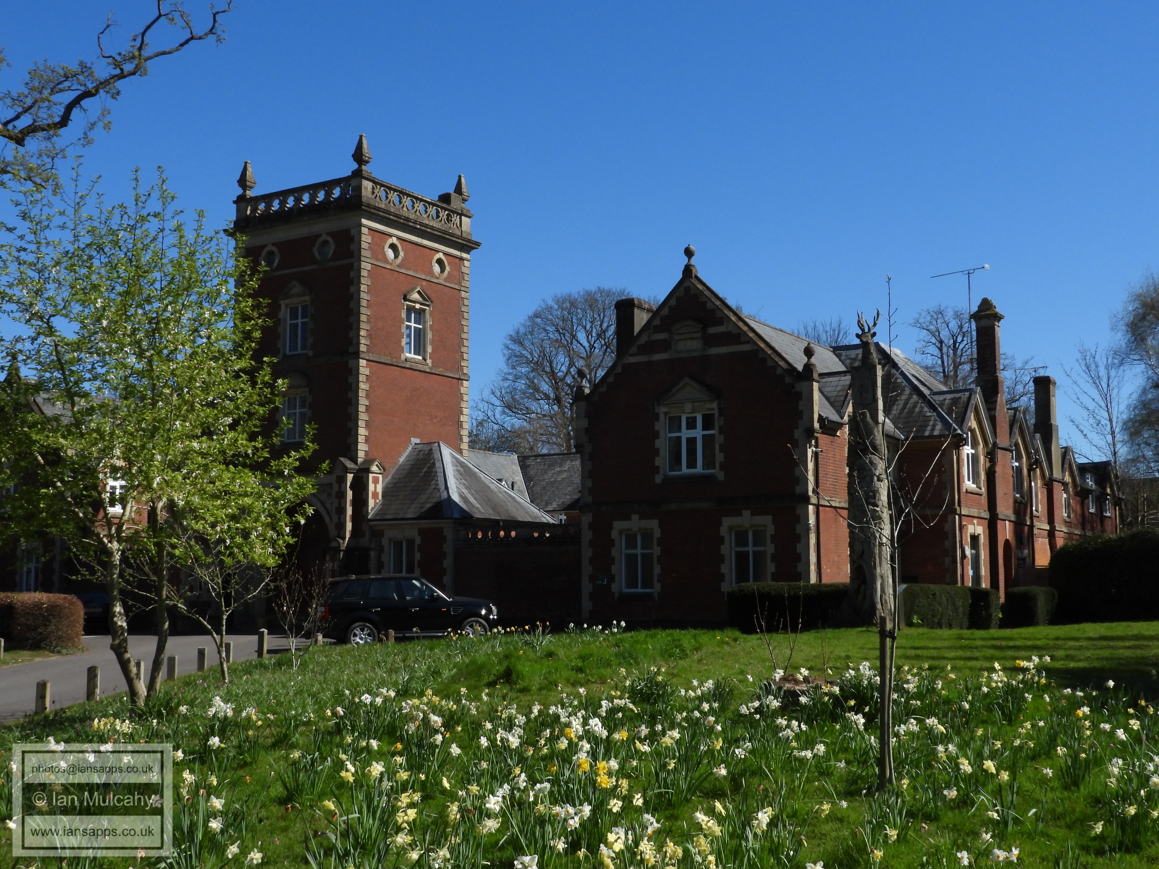
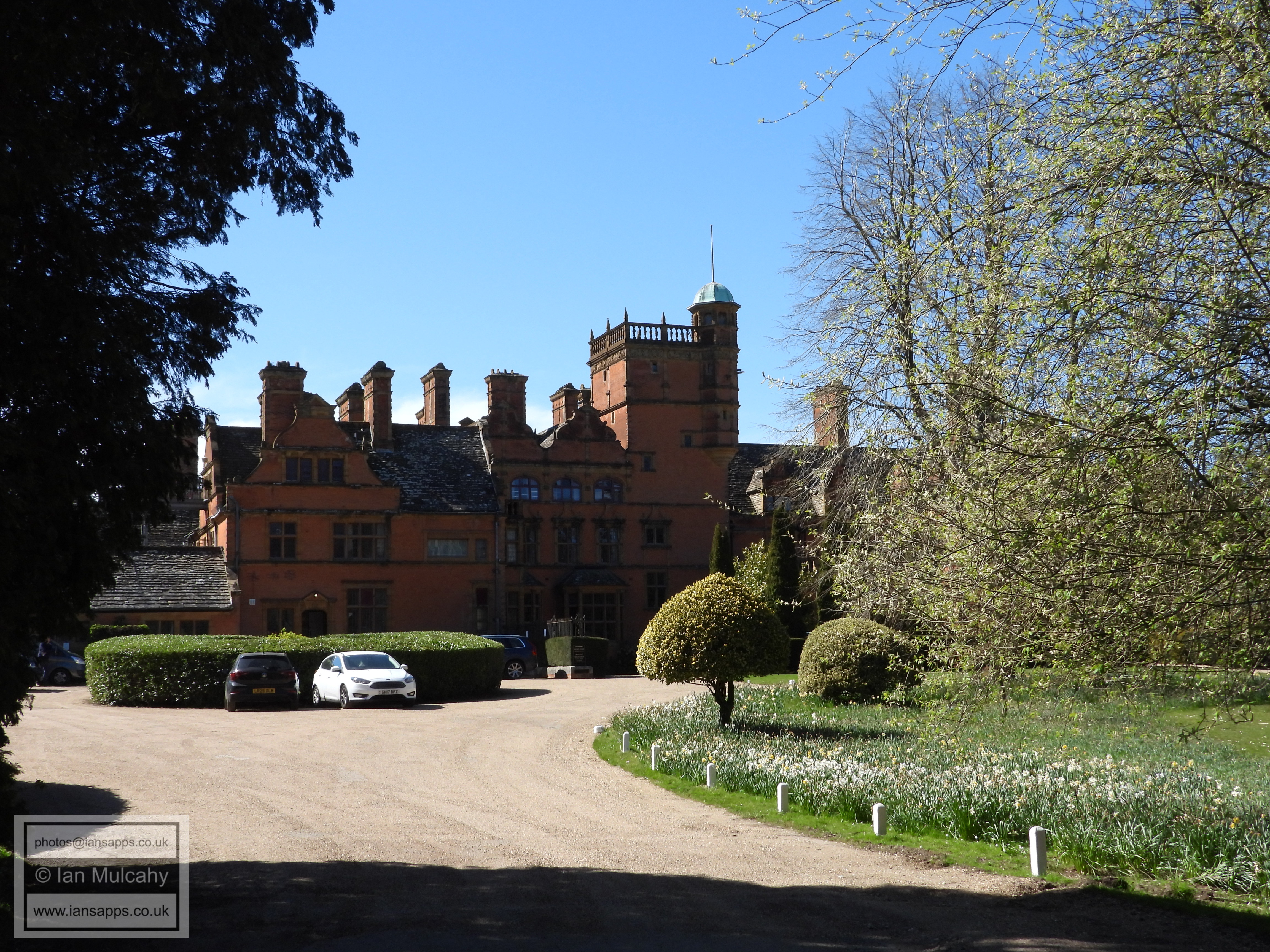
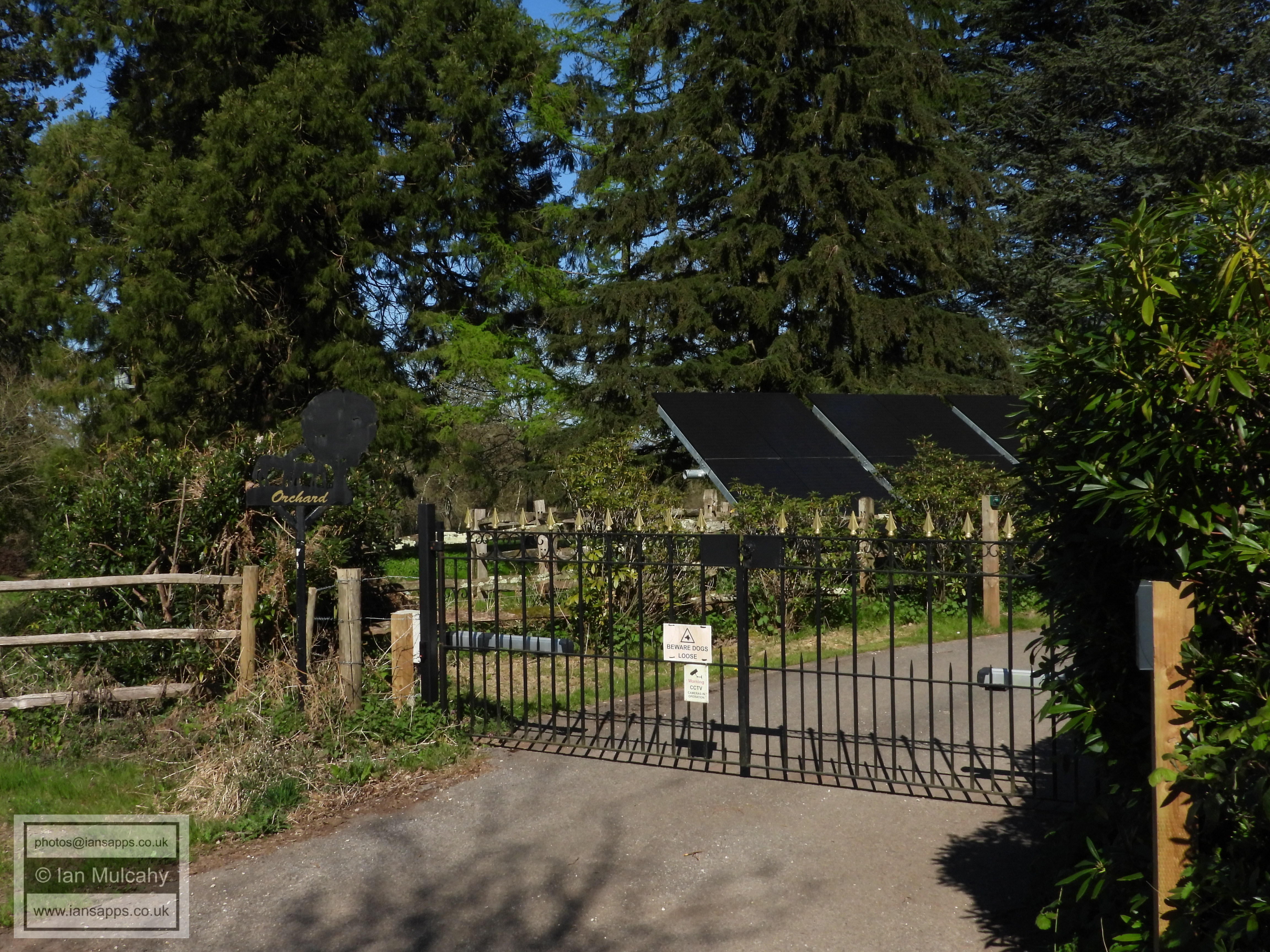
Buchan House (Cottesmore School), built in 1882 for P.F.R. Saillard
North Drive
'Orchard'
The gardens of Cottesmore School
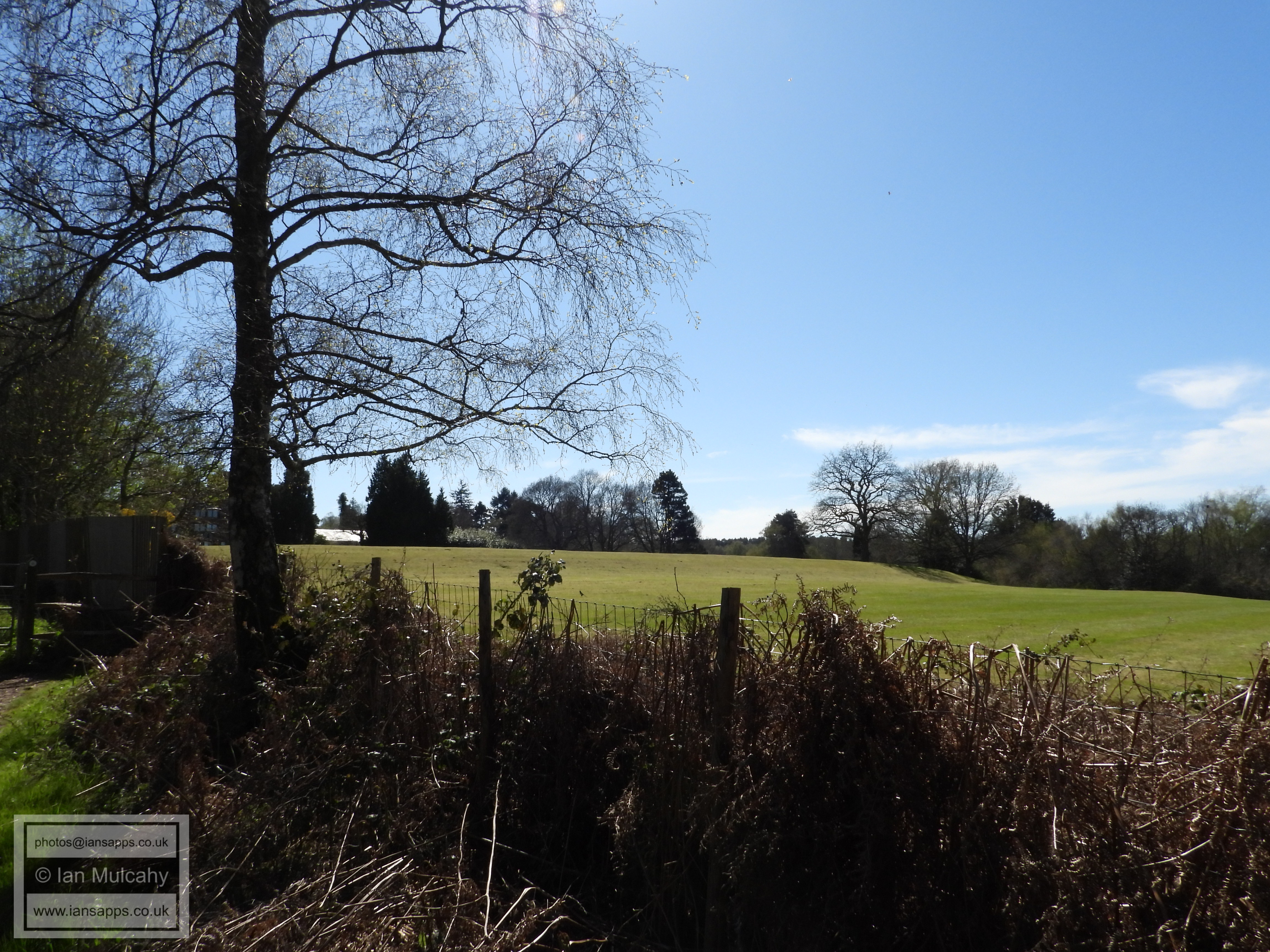
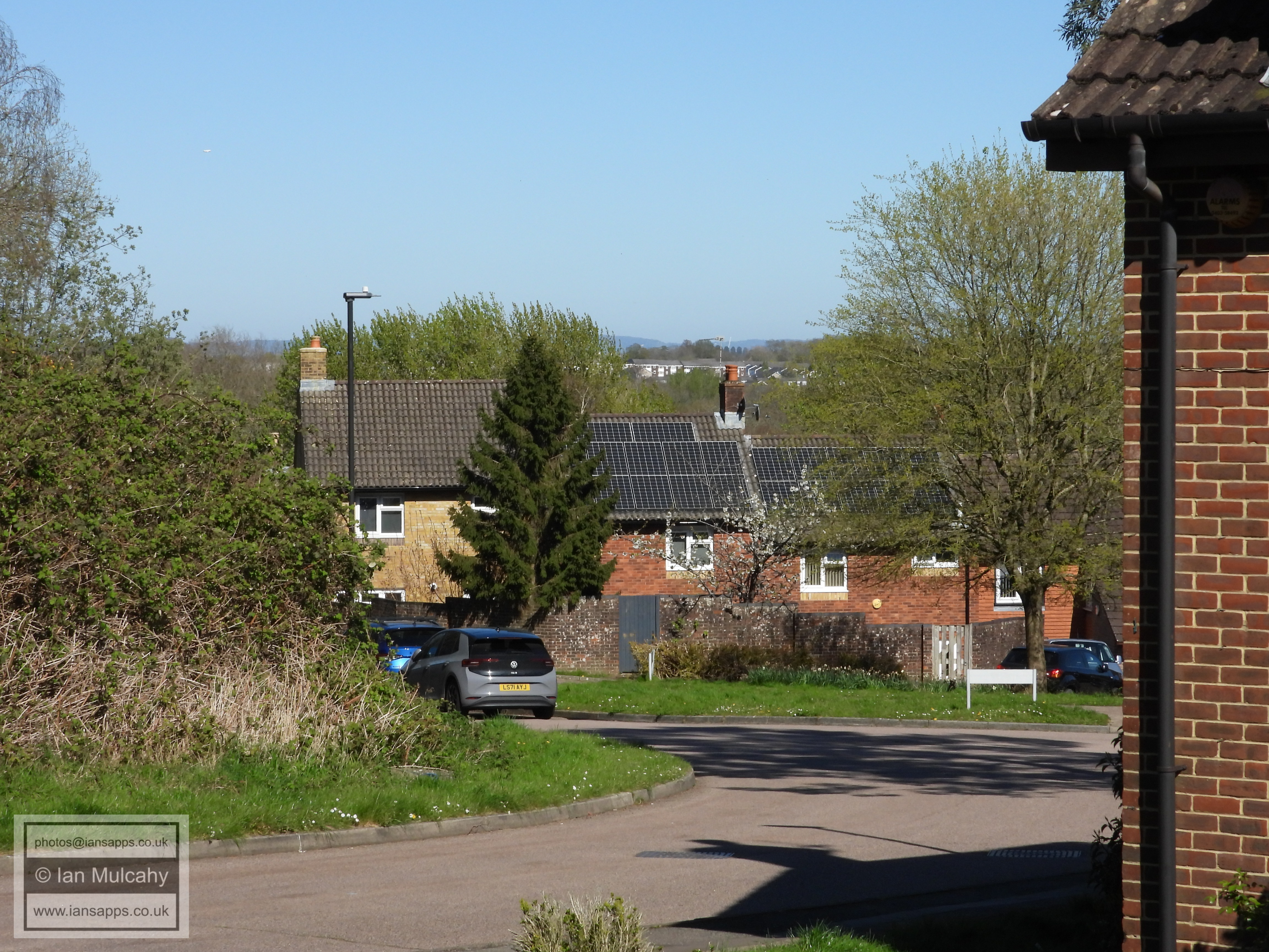
Cottesmore Golf Course
Cottesmore Golf Course
Cottesmore Golf Course
Cottesmore Golf Course
The subway into Broadwood Rise from North Drive
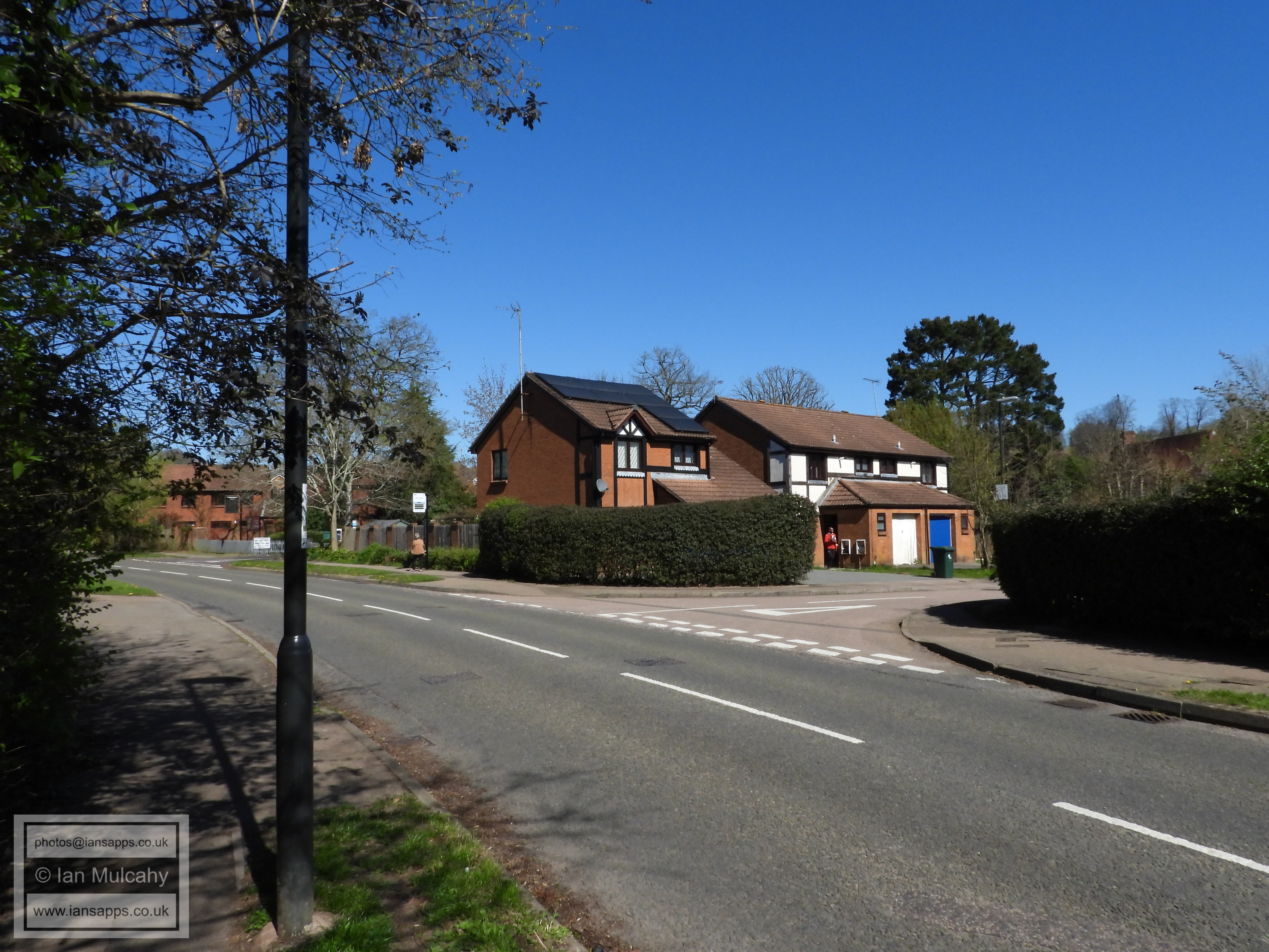
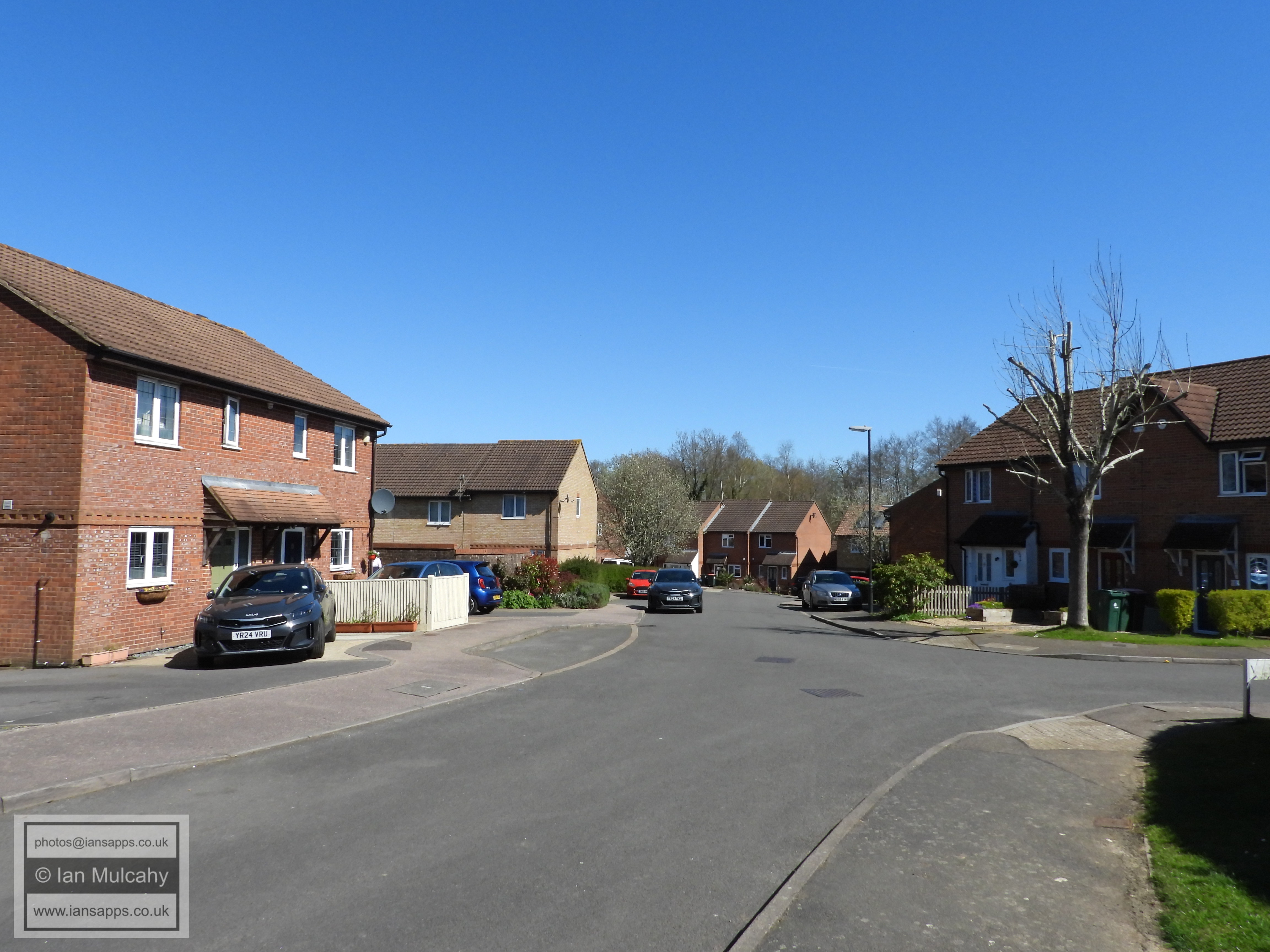
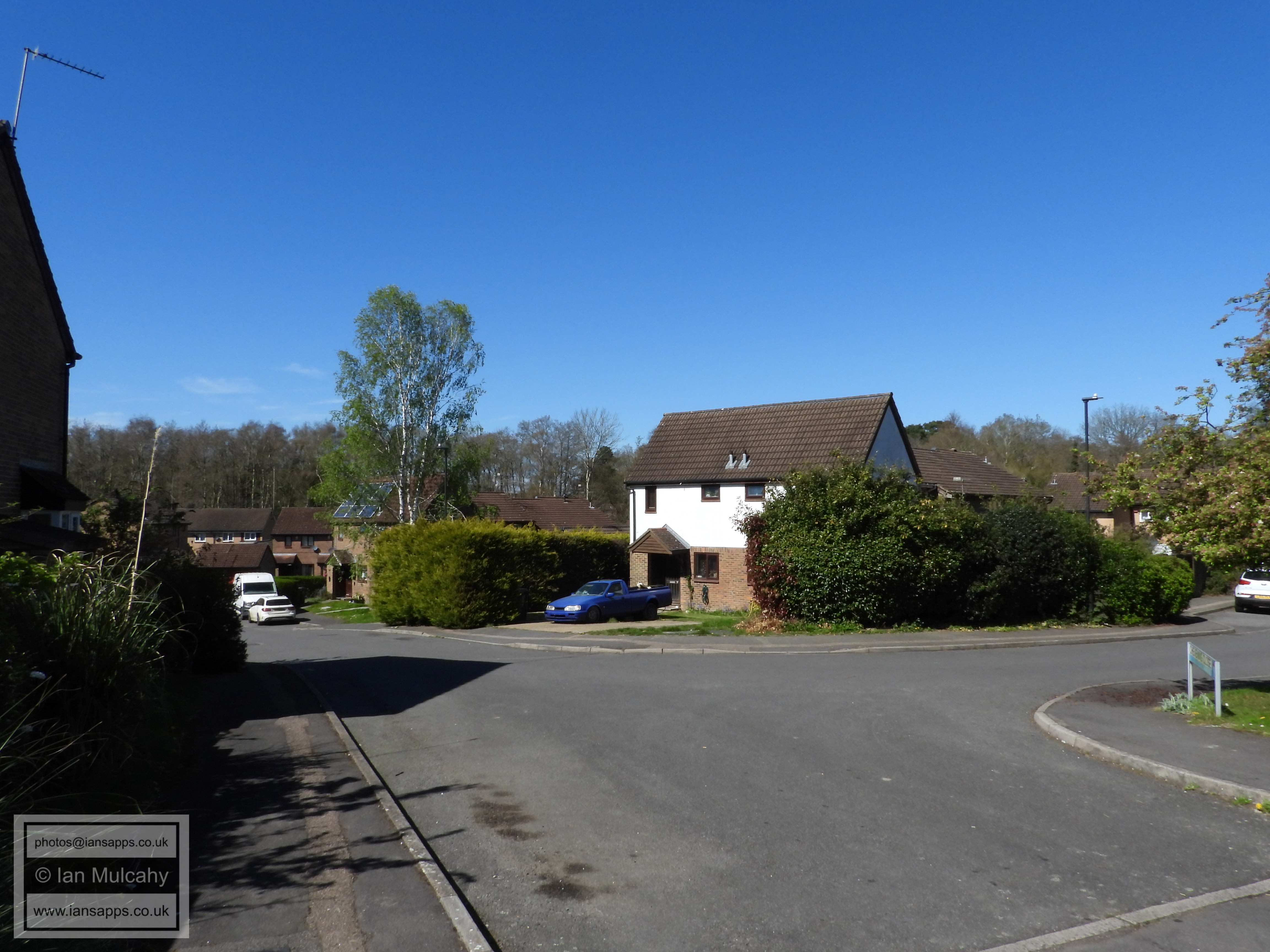
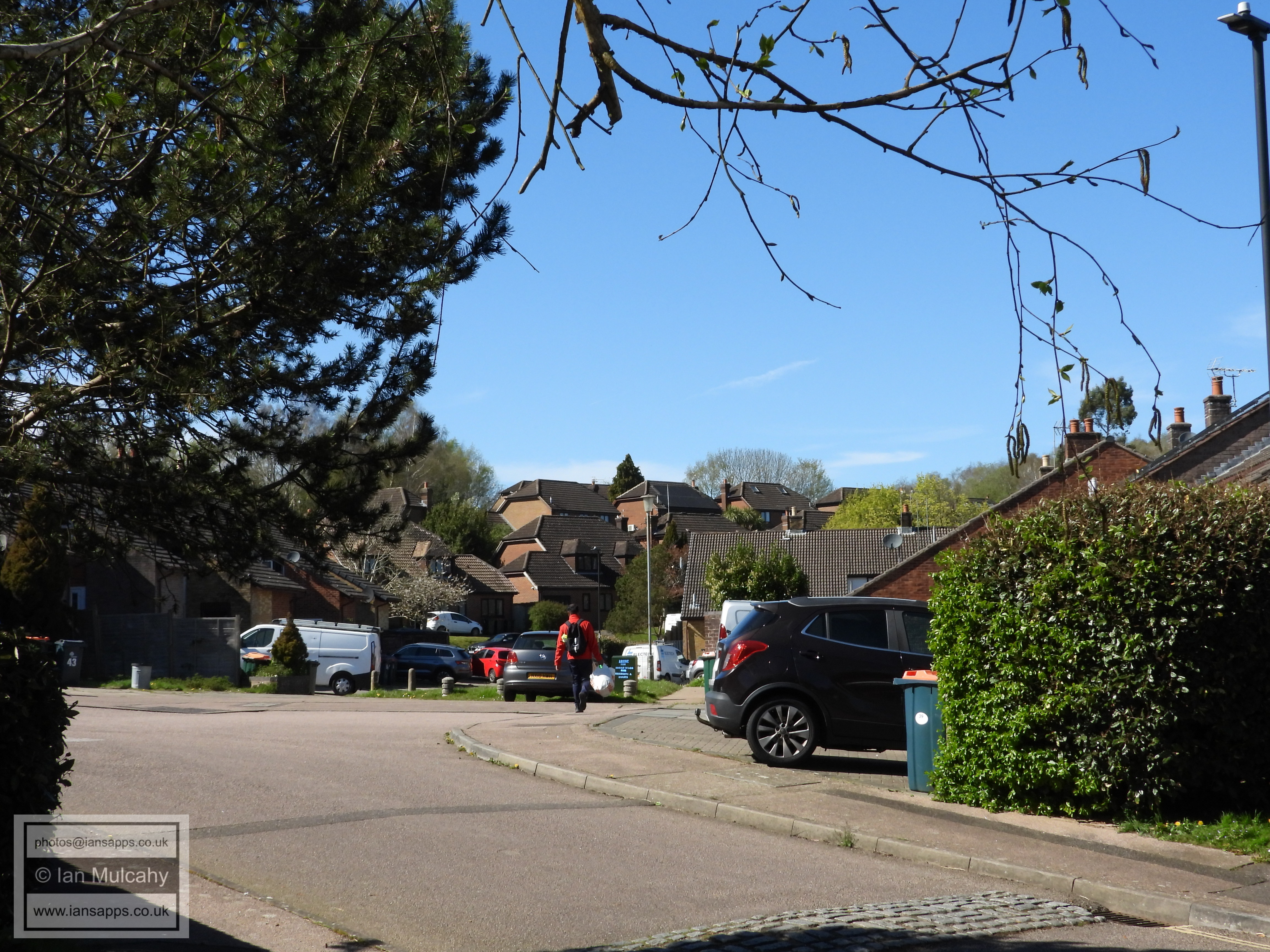
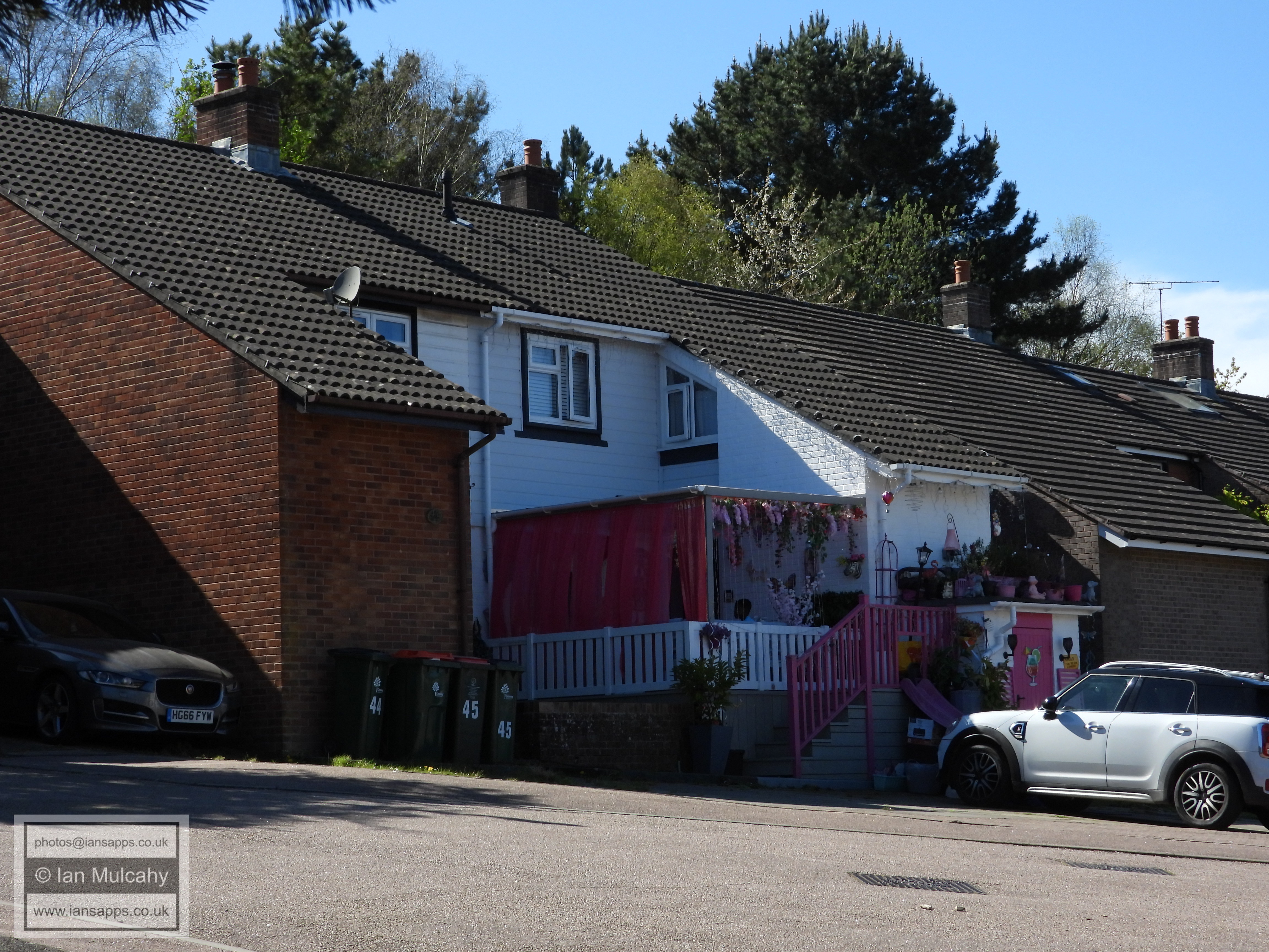
Broadwood Rise
Broadwood Rise, the pink house. I do know the lady behind this display of colour, but I shan't embarrass her by dropping her name here.
The roofs of Caburn Heights in Southgate West, as seen from Hobbs Road
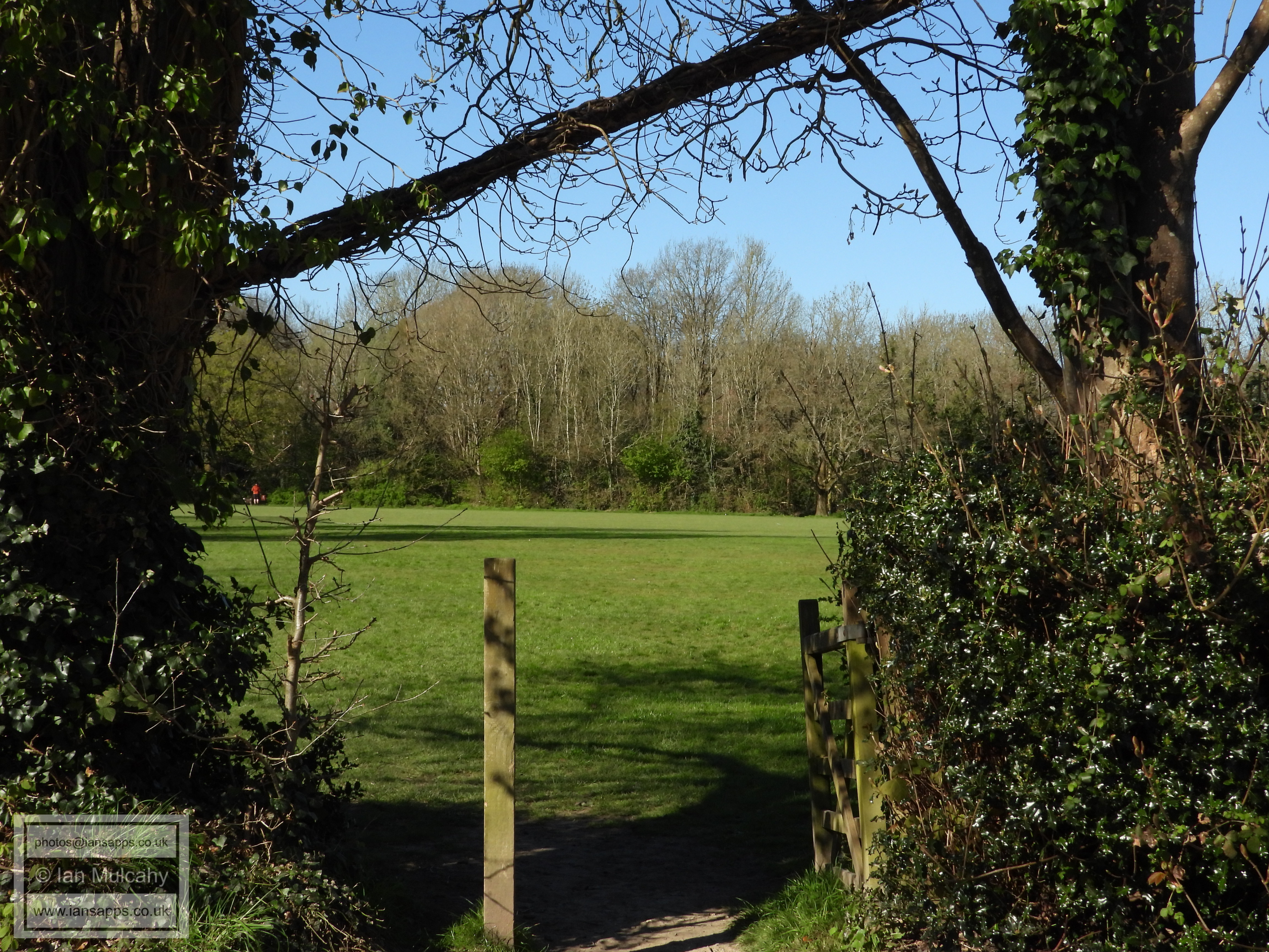
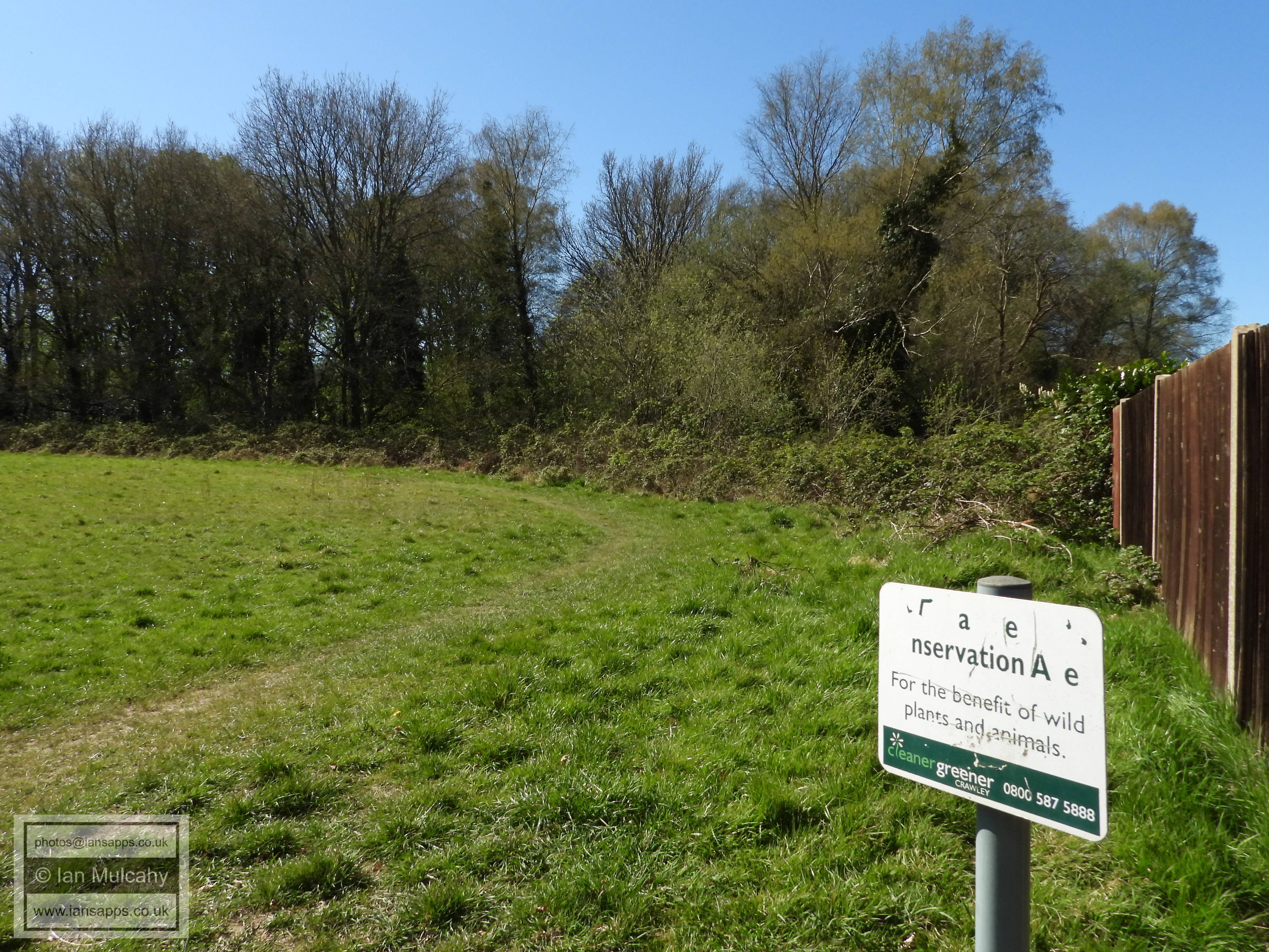
Target Hill Nature Reserve
Target Hill Nature Reserve
Target Hill Nature Reserve
Target Hill Nature Reserve
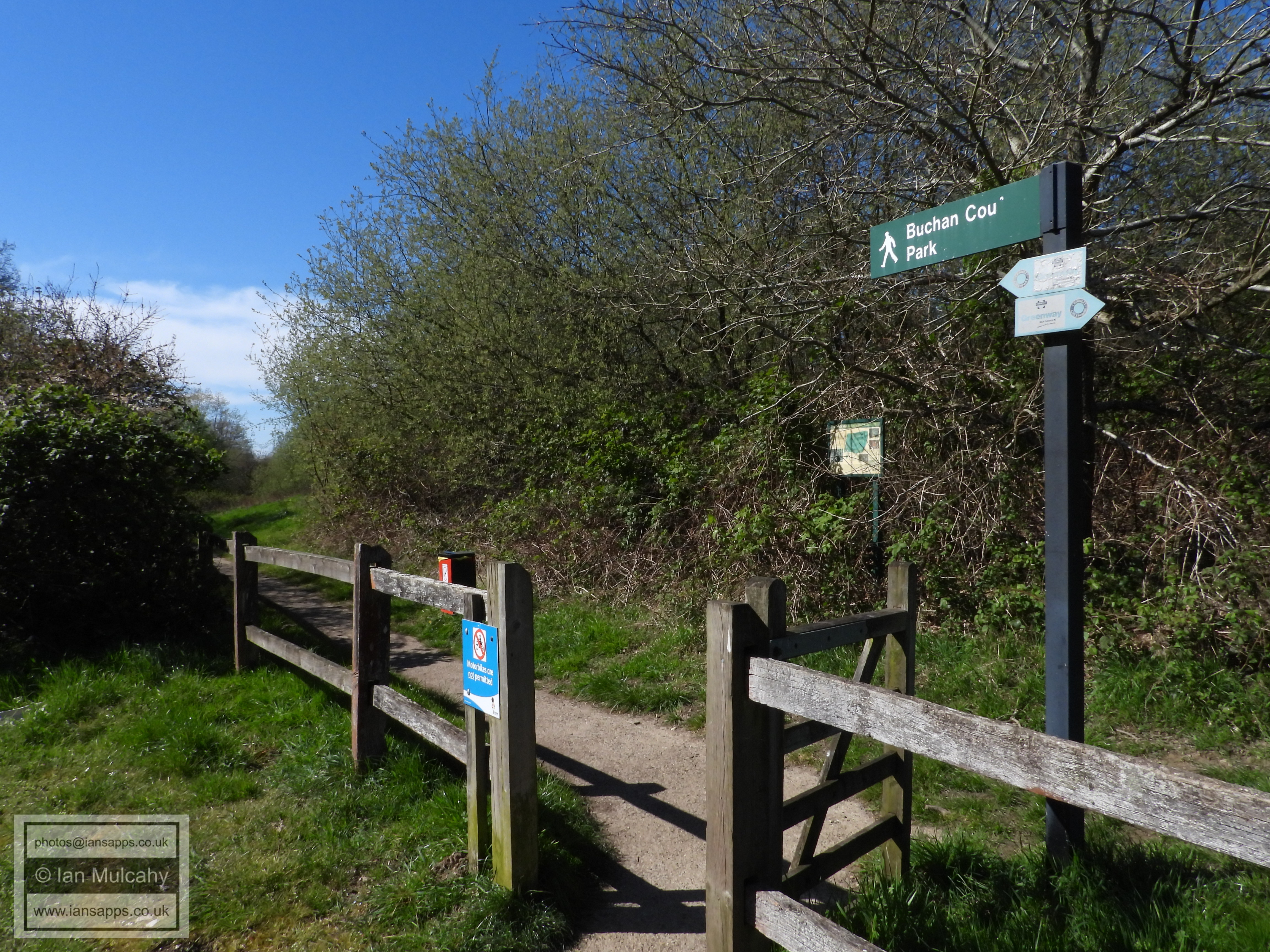
Buchan Park entrance
Buchan Park car park
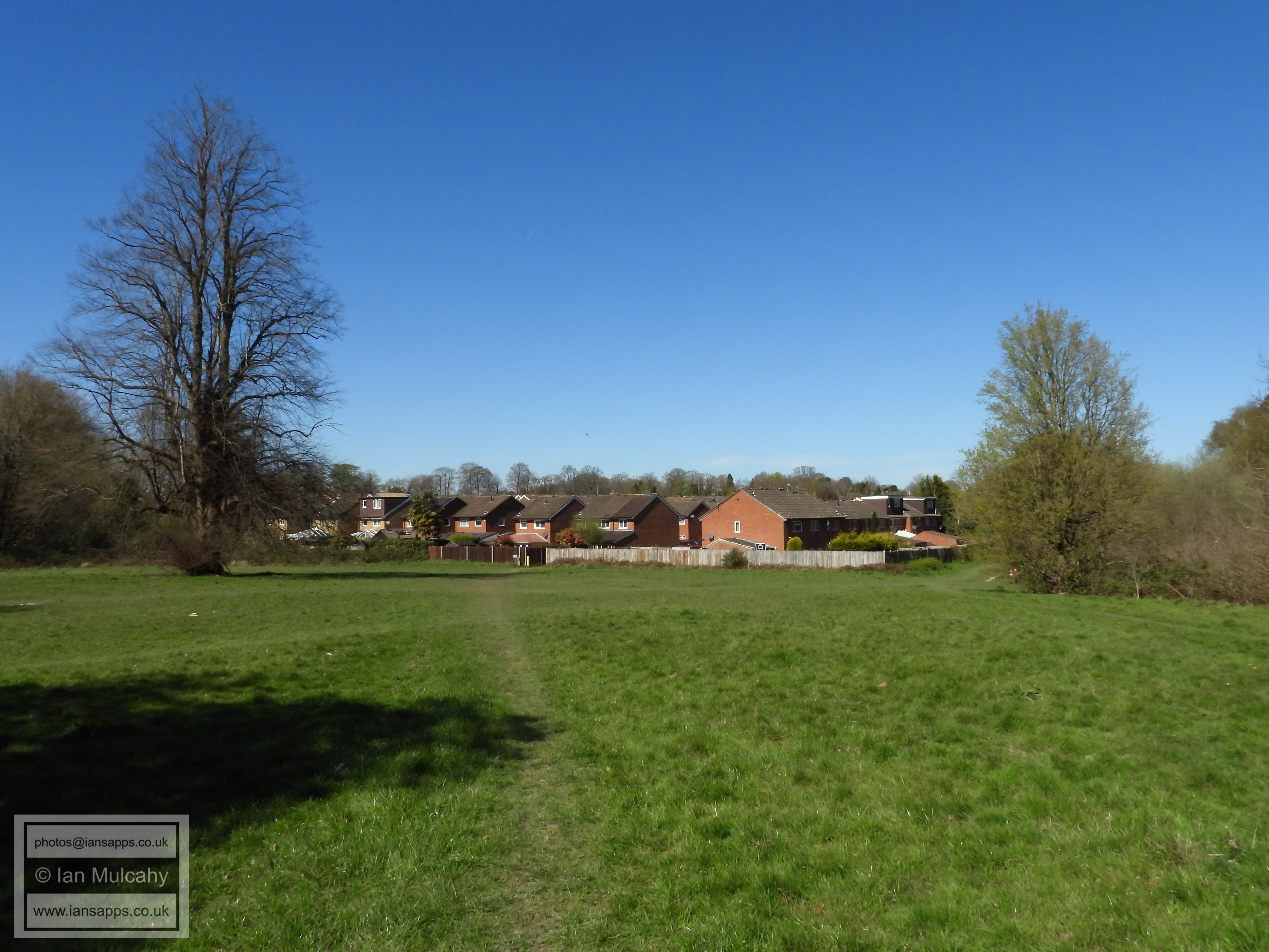
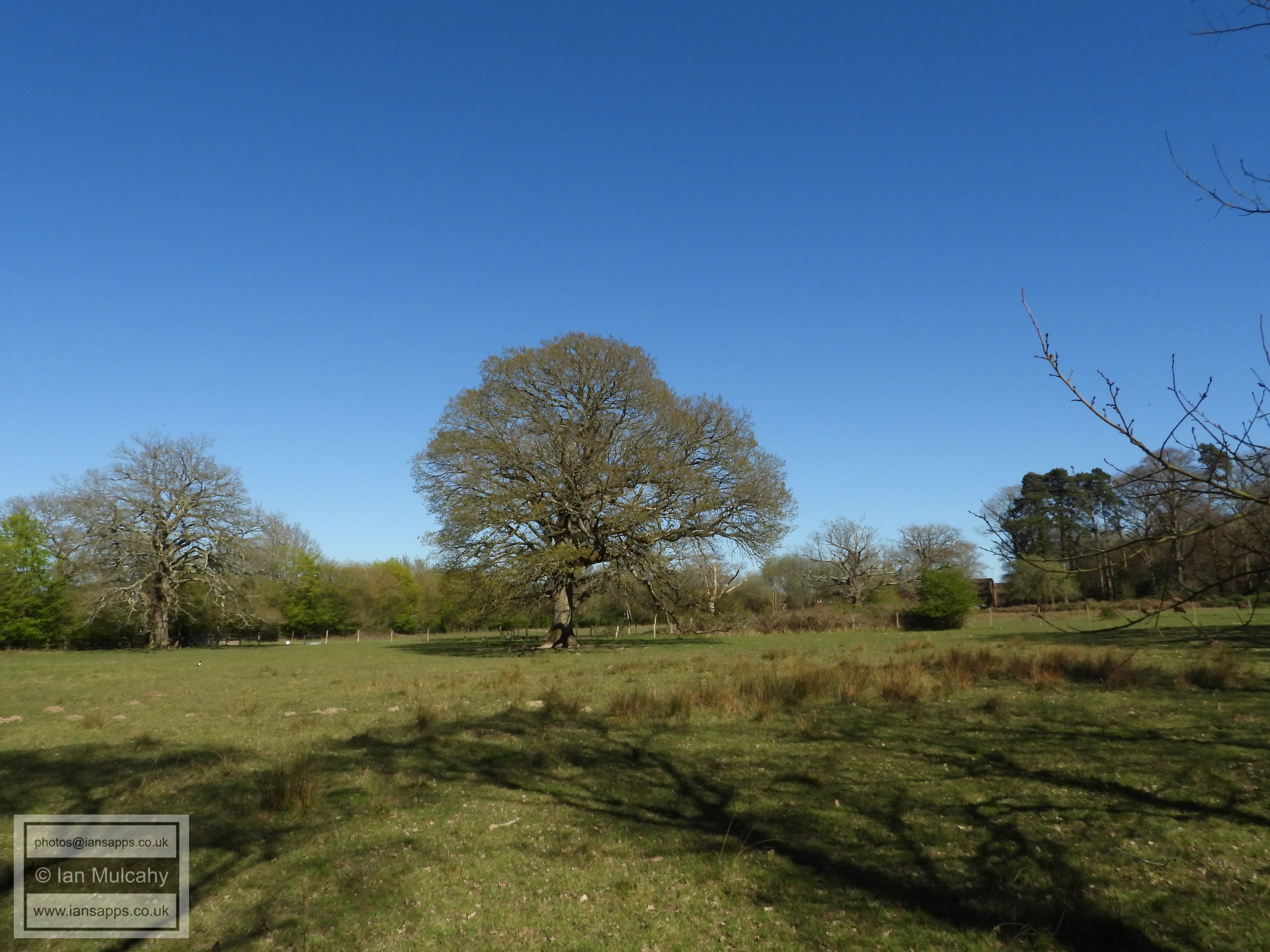
The Field to the left of the entrance road to Buchan Park
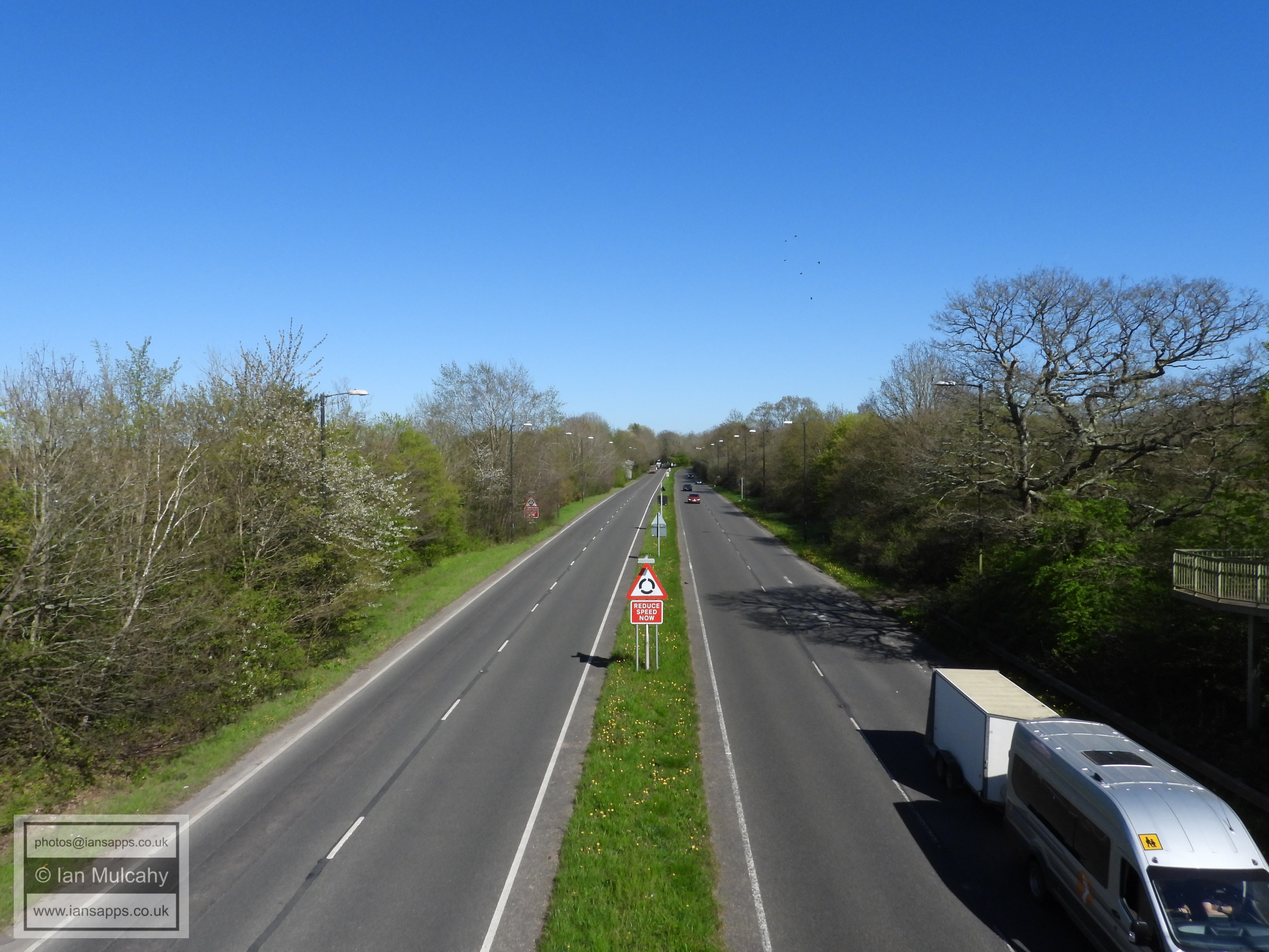
Horsham Road
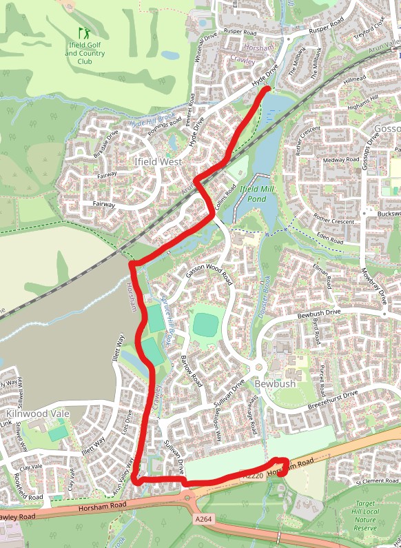
PART SIX - BUCHAN PARK TO IFIELD MILL
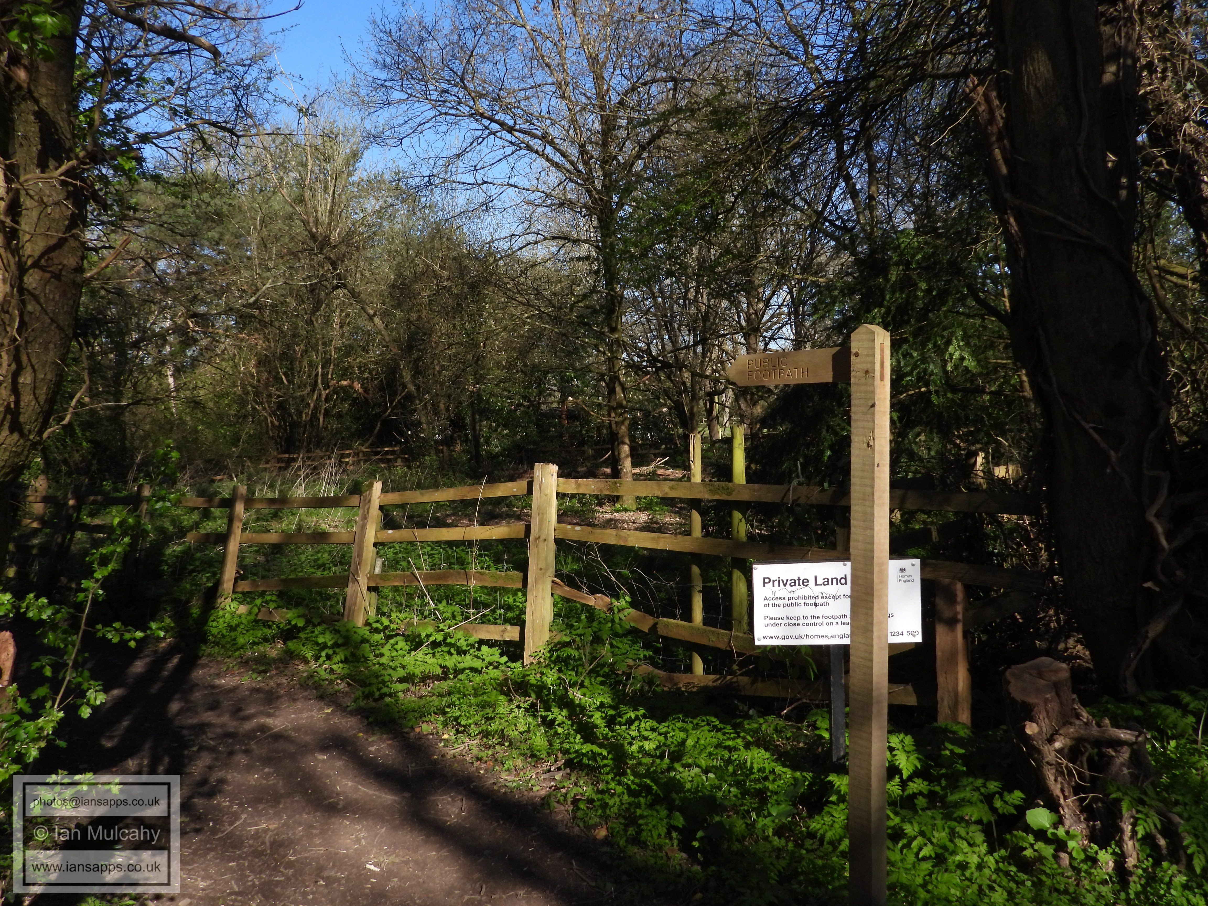
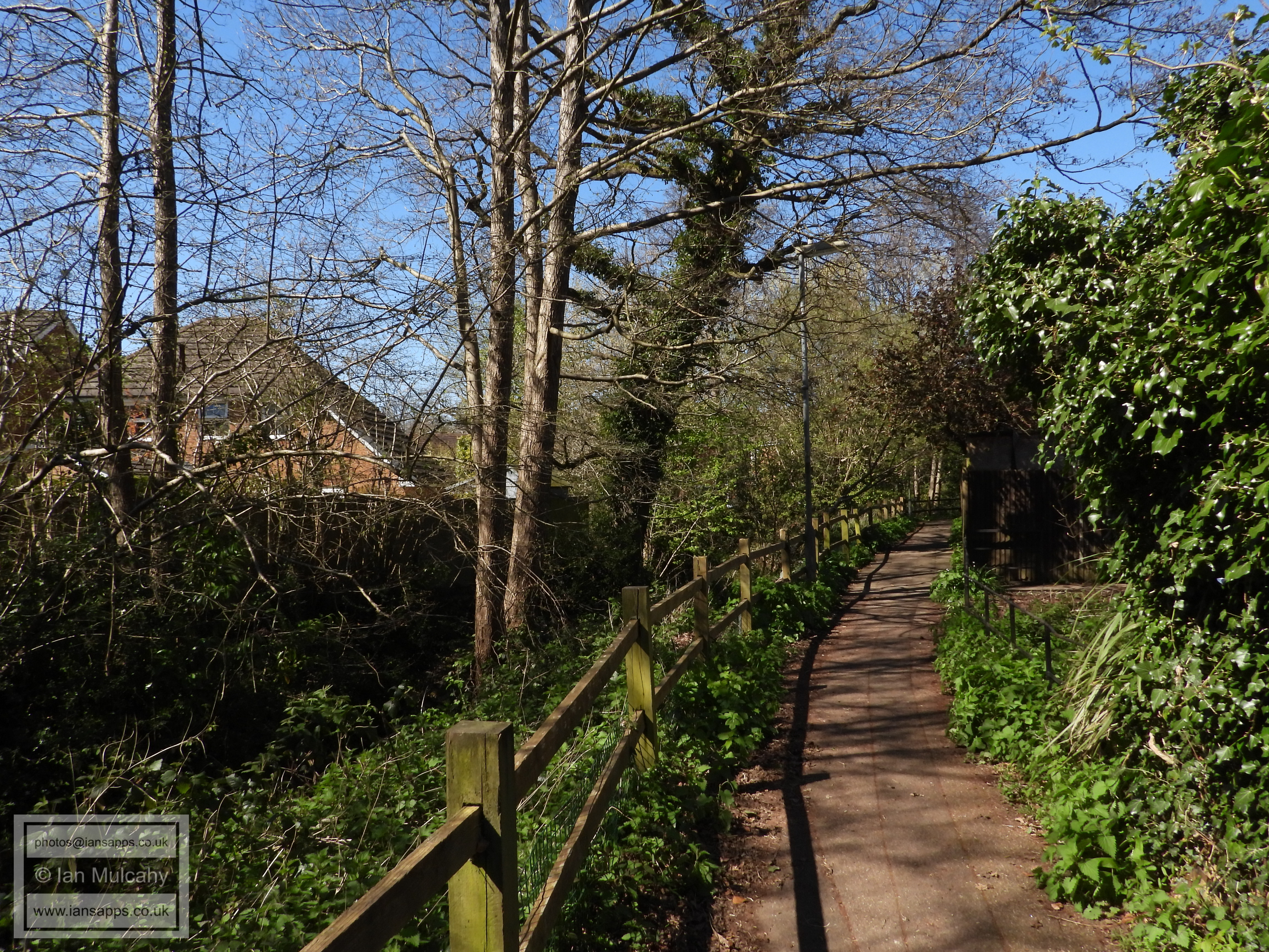
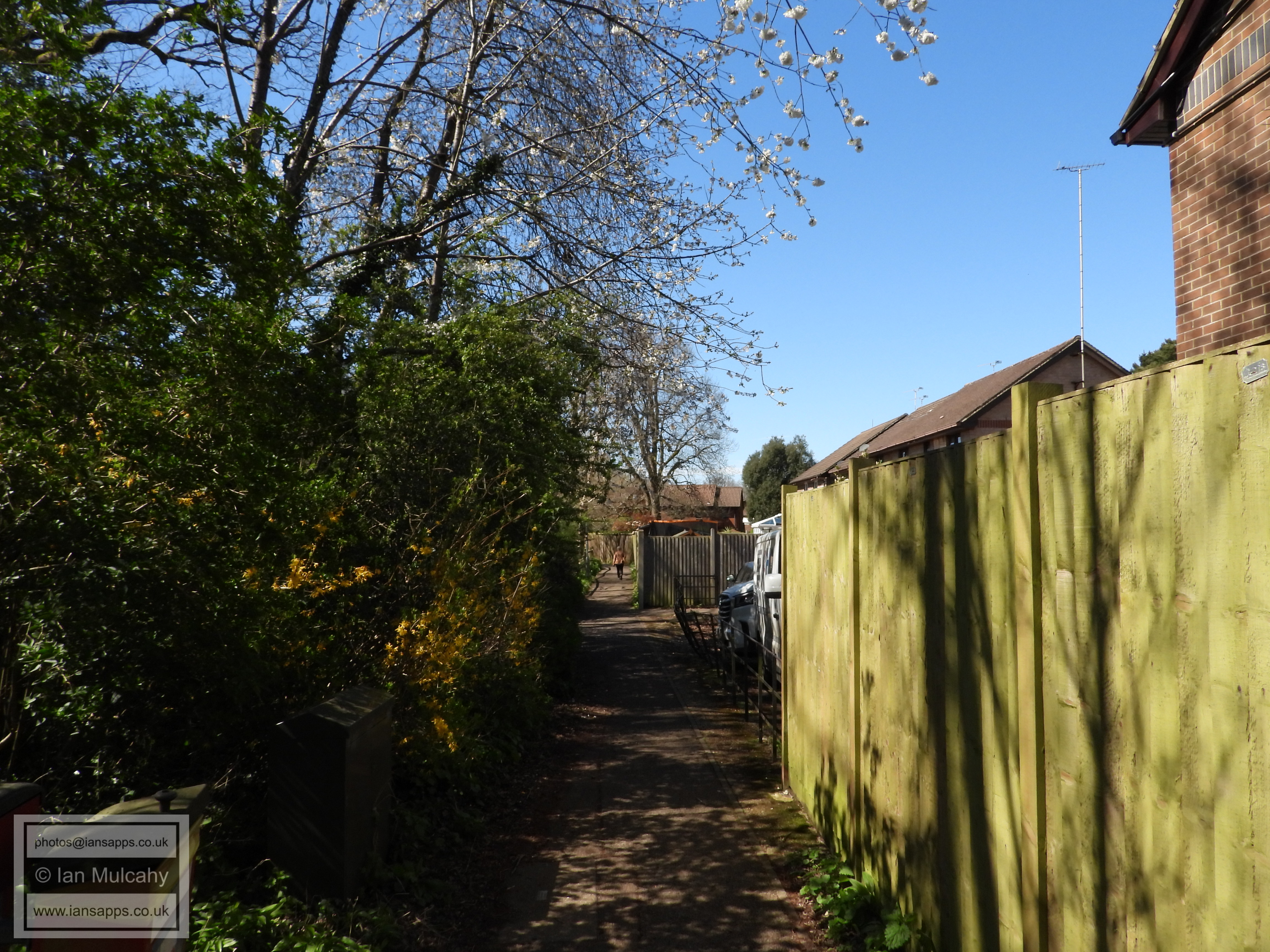
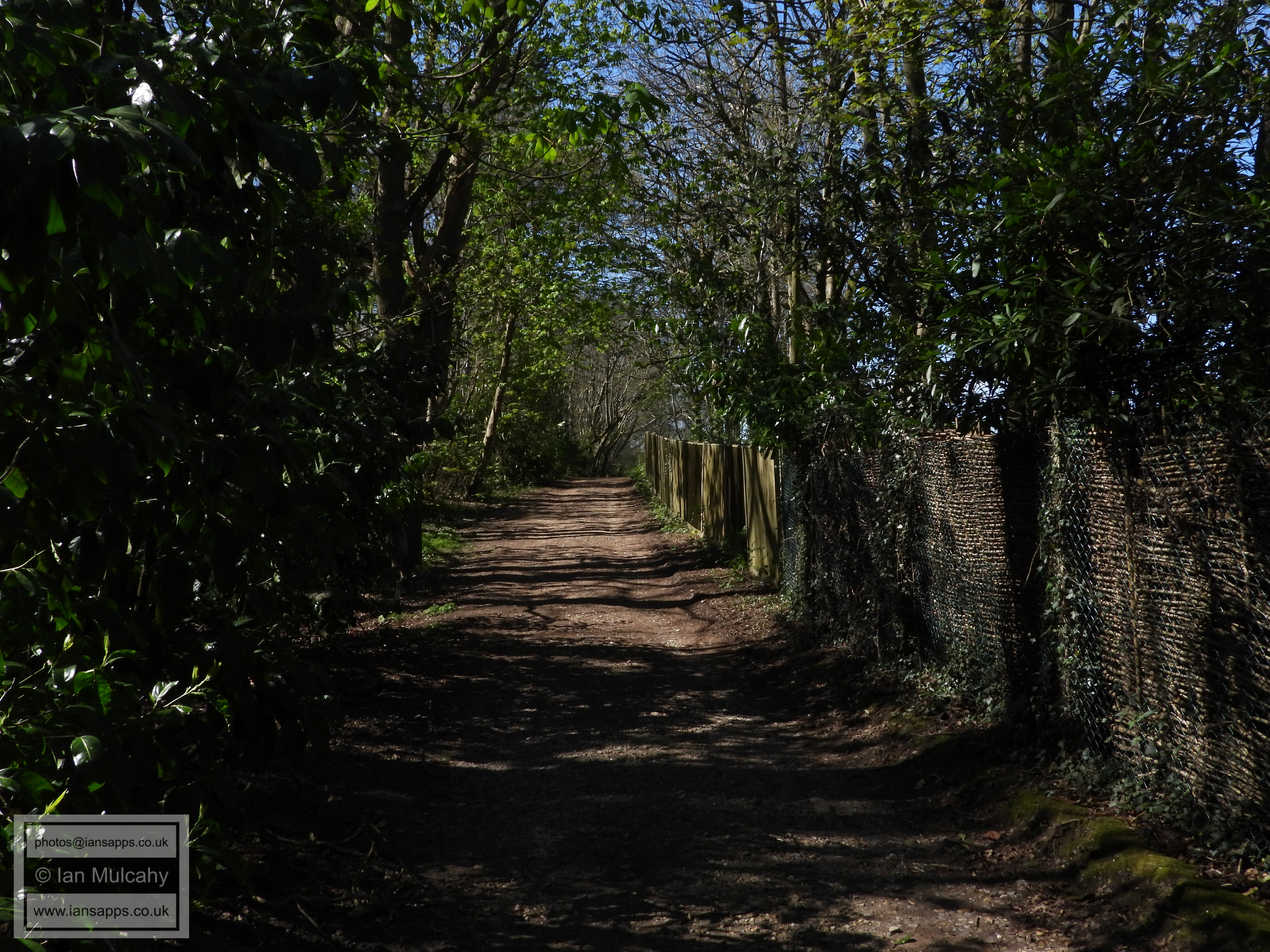
Having crossed the Horsham Road, turn left into Skelmserdale Playing Field and then keep left to take the path alongside the Horsham Road. At the end of the field, follow the path round to the right and then go through the gate to access Sullivan Drive. Cross the road here and use the alleyway opposite to access Erskine Close. Follow the road past Bewbush Barn and into Howard Road, at the end of which you should turn left into Chetwood Road and then an immediate right into the alleyway to access the bridleway that marks the administrative boundary between Crawley & Horsham and the physical boundary between Bewbush & Kilnwood Vale.
On joining the bridleway, turn right and keep going, past the bus gate and Bewbush West playing fields, until just after the sluice which marks the site of the long since demolished Bewbush Mill. Just after this feature, turn right onto the pathway which runs alongside Bewbush Brook and becomes St Francis Walk. Follow this all the way to Waterfield Gardens and then turn left, joining Berrymeade Walk in order to cross the railway back into Ifield.
Once you have crossed the bridge, turn right onto the bridleway which will take you back to you starting point at Ifield Mill.
Bewbush Pavilion
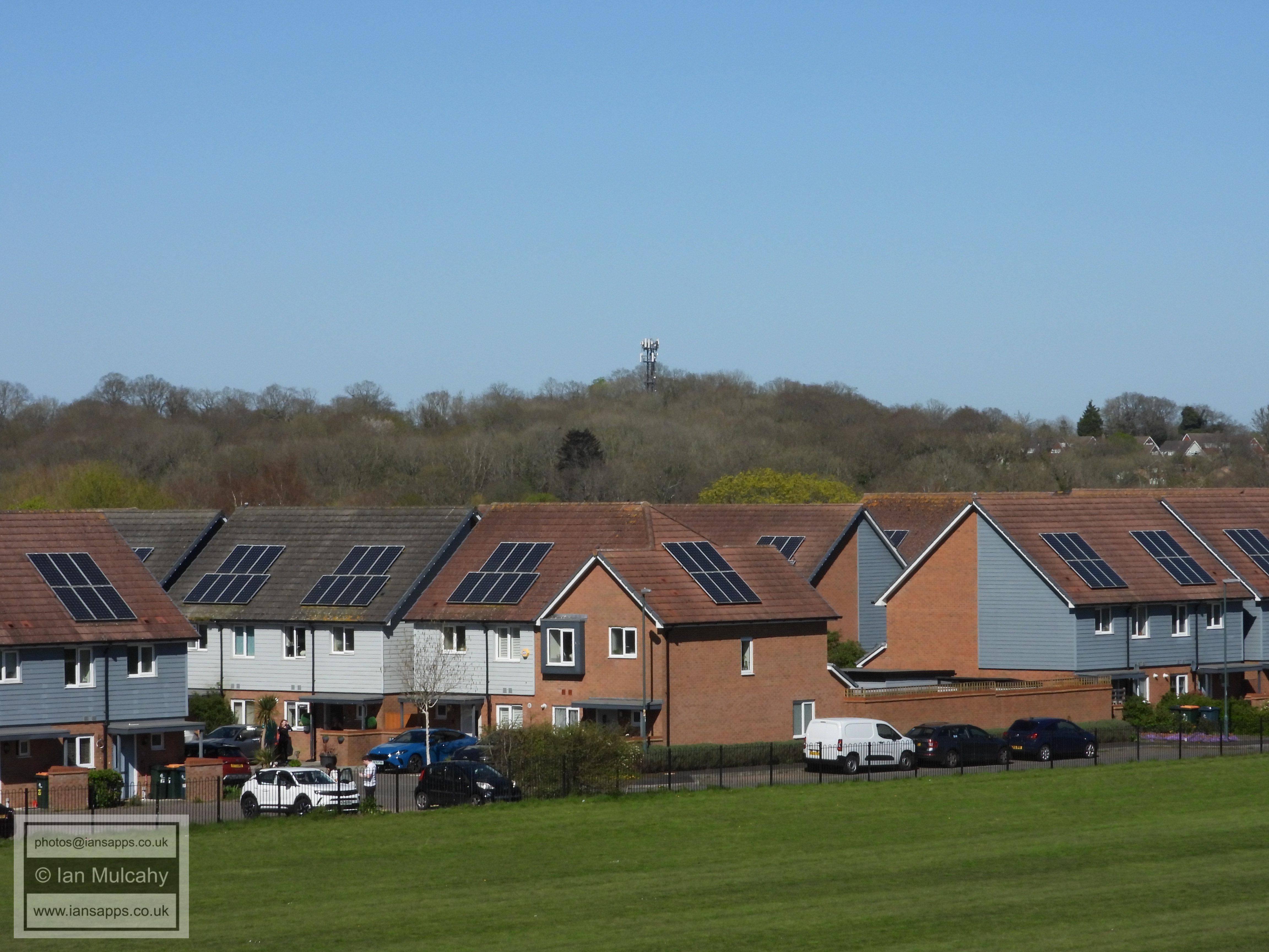
Waterfall Crescent, off Breezehurst Drive in Bewbush, with the communications mast at Woldhurstlea in Gossops Green beyond.
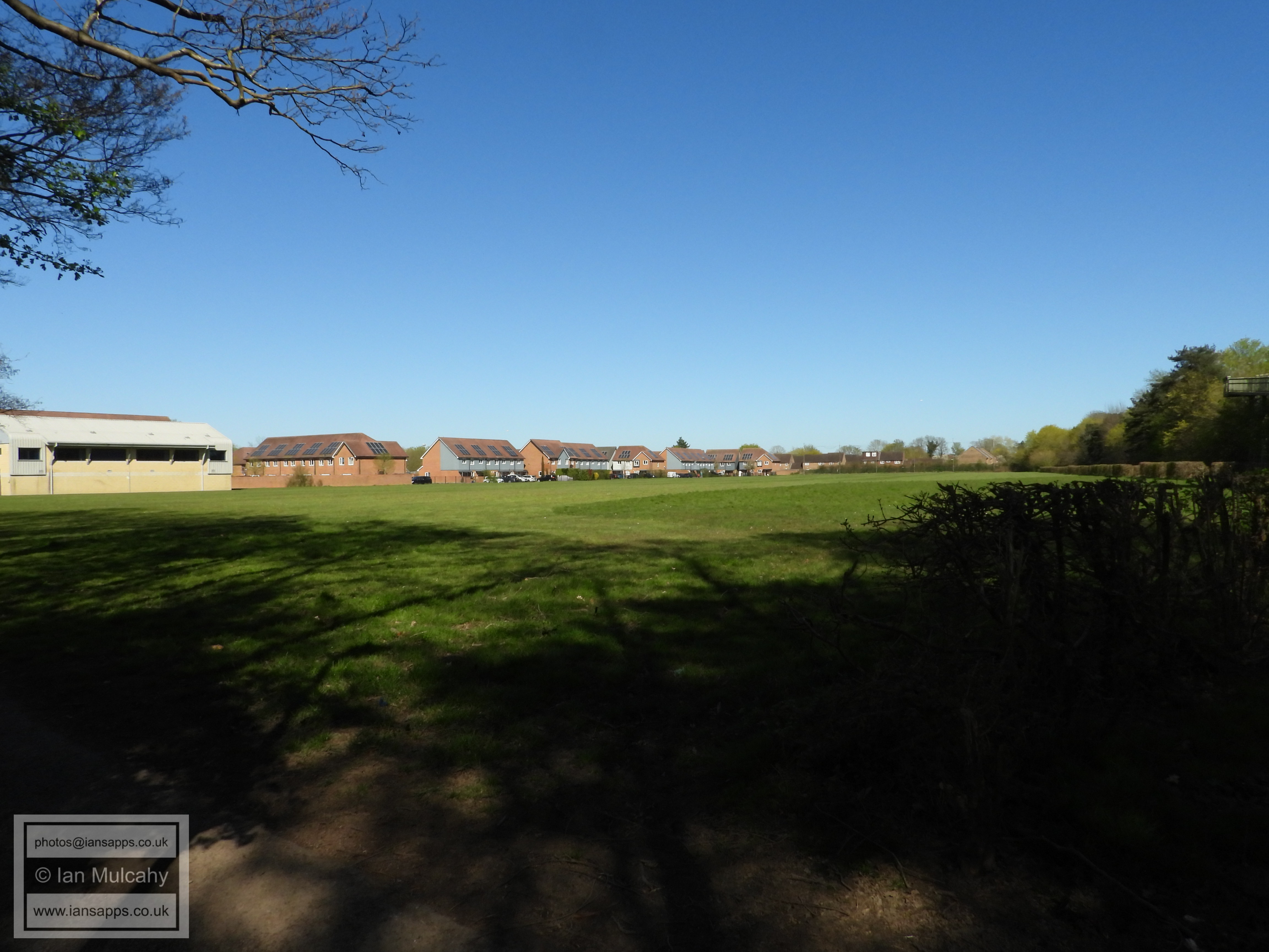
Bewbush Pavilion playing field
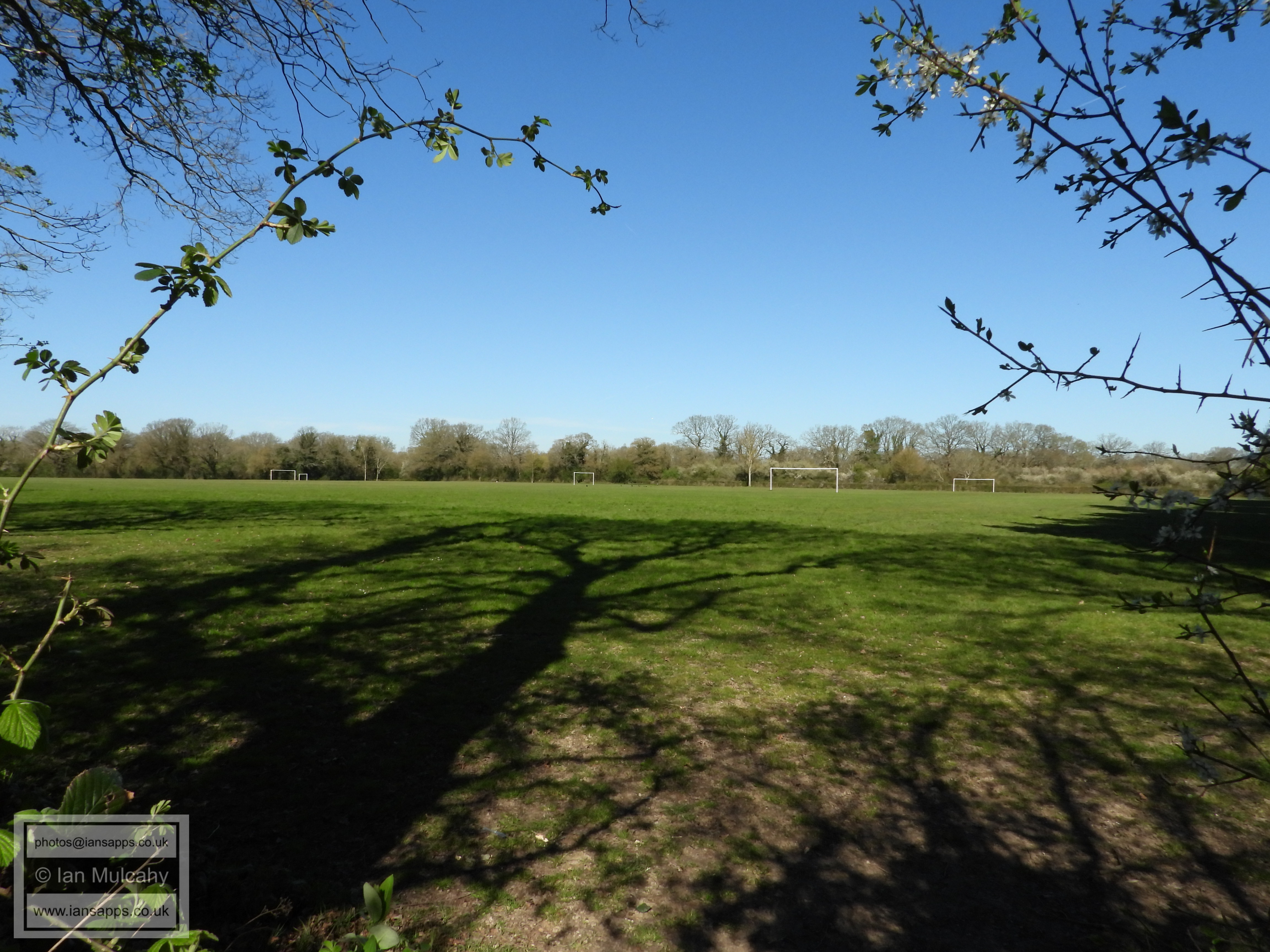
Skelmserdale Playing Field
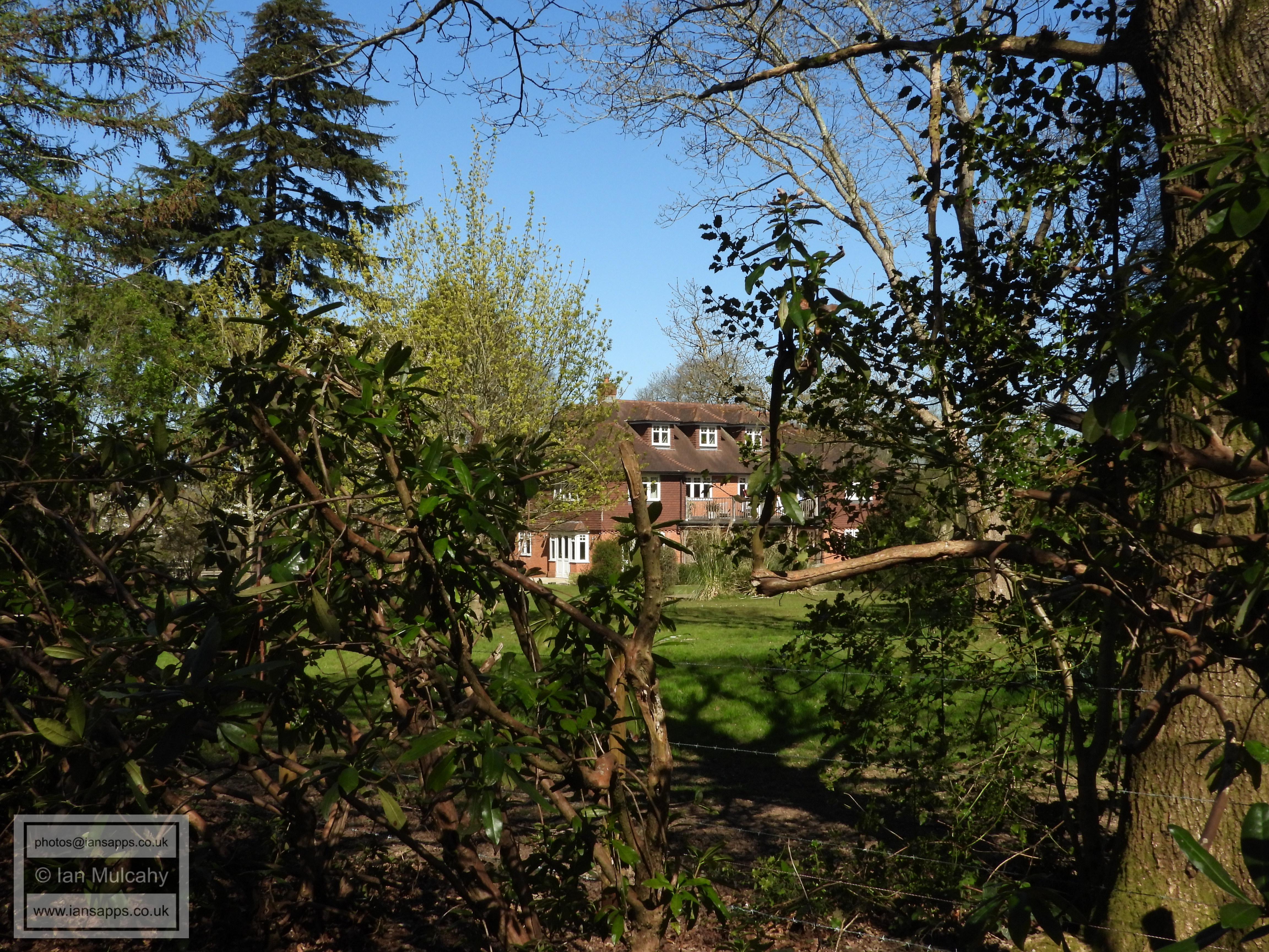
Bewbush Barn, a 17th or 18th century barn which was part of Bewbush Manor
Berkeley Close
The alleyway to access the bridleway that marks the administrative boundary between Crawley & Horsham
The boundary bridleway
Somerset Road
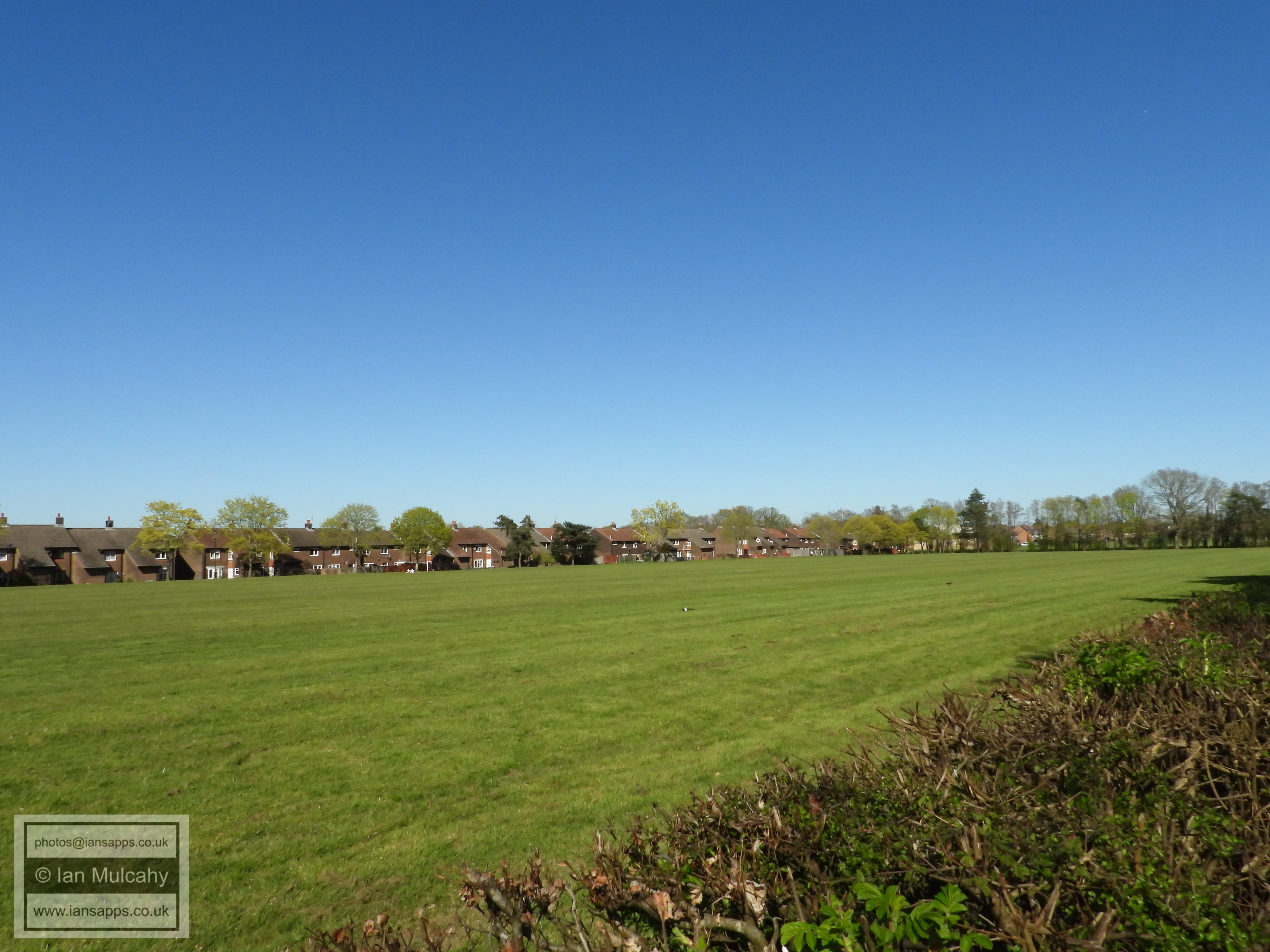
Bewbush West playground
Bewbush West Playing Field
The boundary bridleway
The boundary bridleway
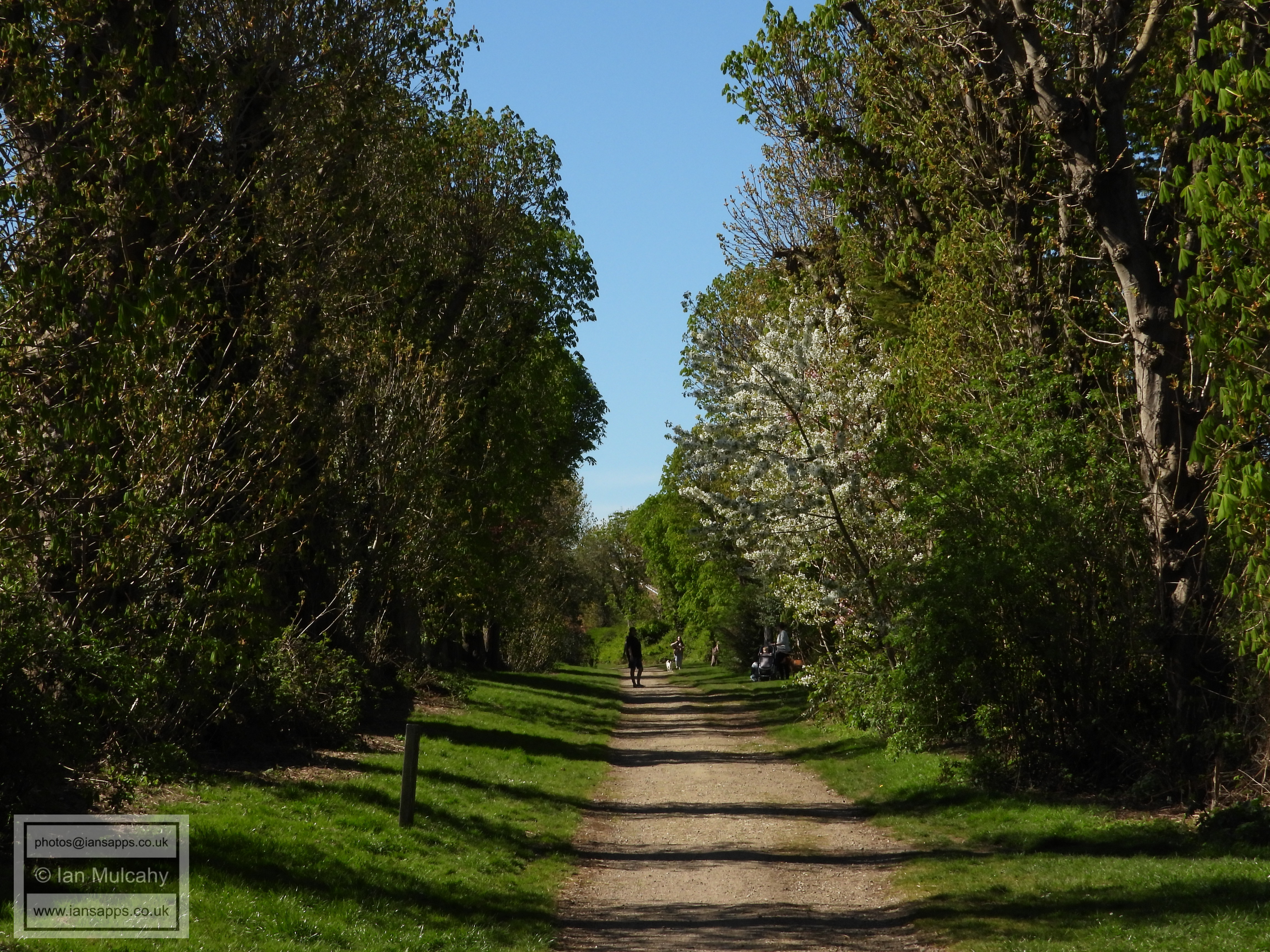
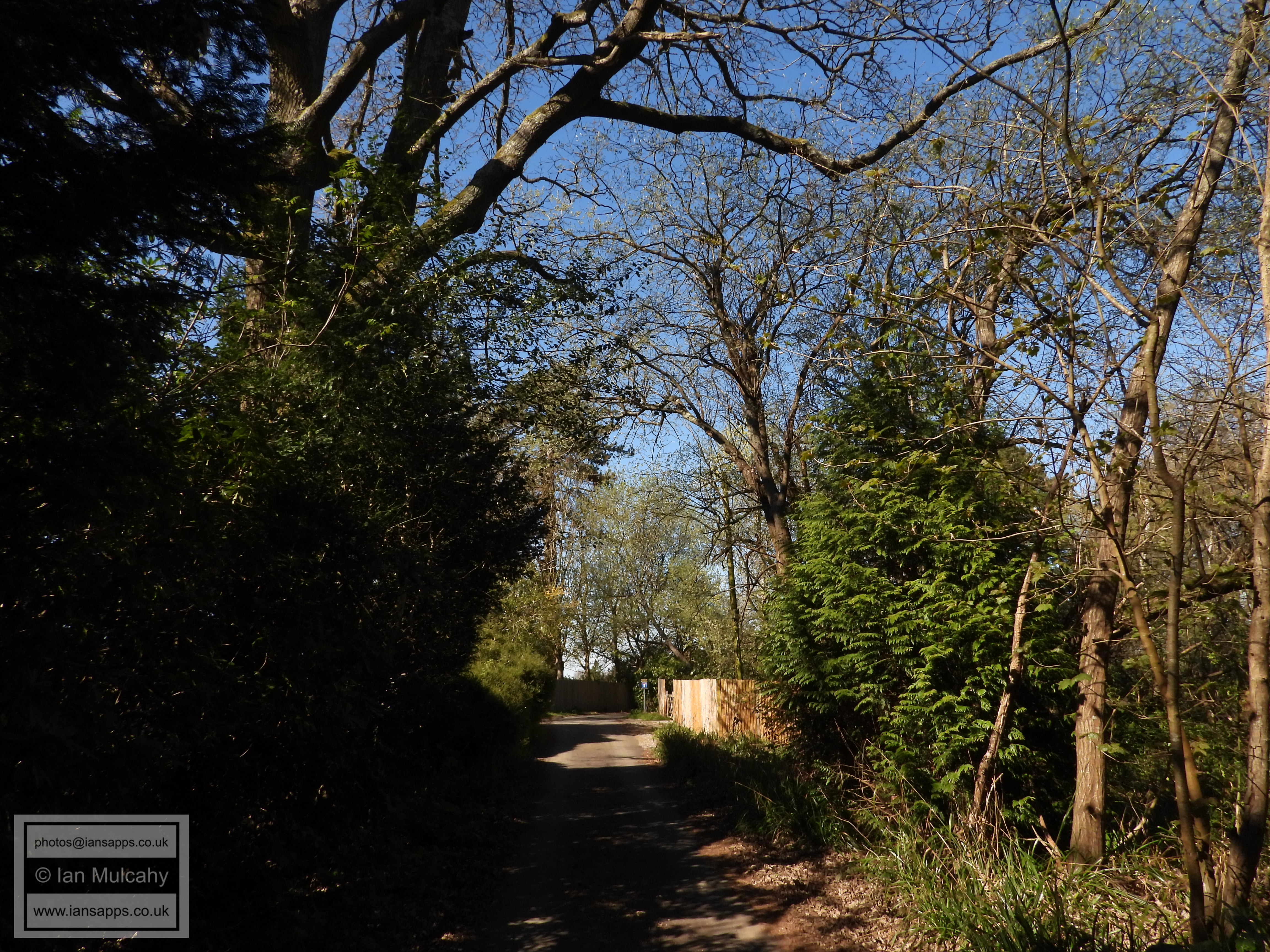
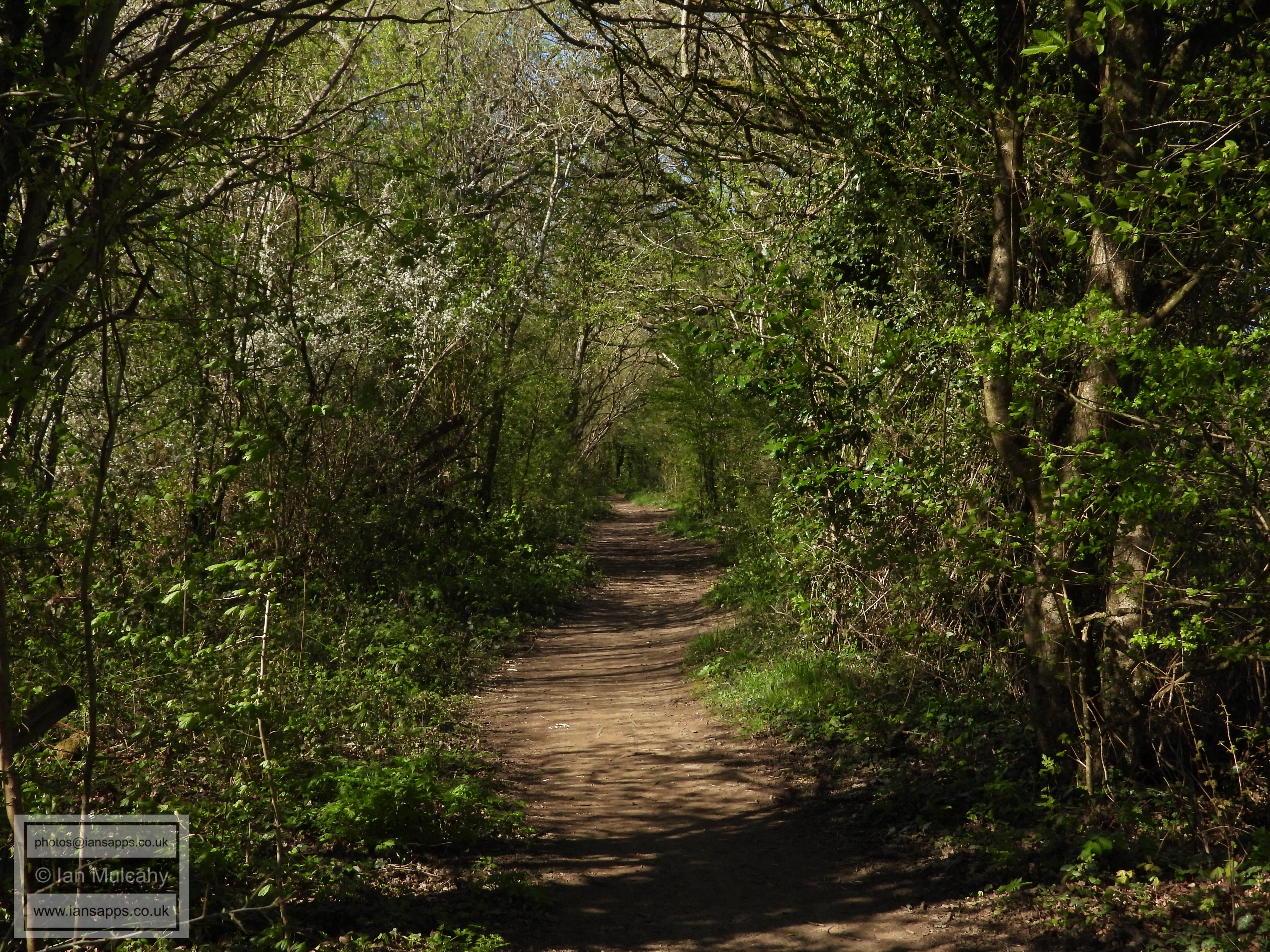
The path to St Francis Walk
St Francis Walk
Bewbush Watergardens
Berrymeade Bridge
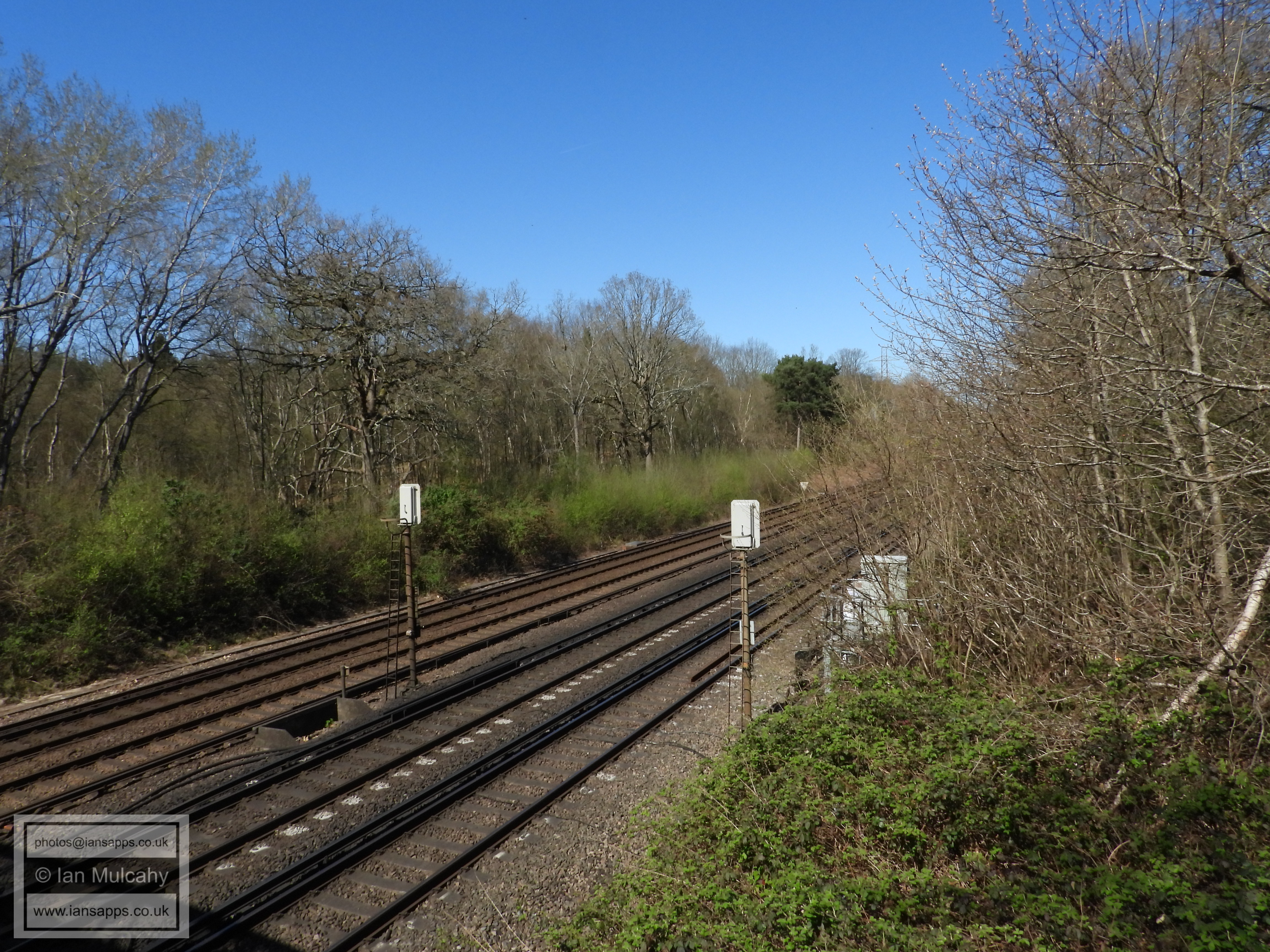
The Arun valley railway from Berrymeade Bridge
The bridleway to Ifield Mill
Green space at Ifield Mill
The bridleway to Ifield Mill
Green space at Ifield Mill
Ifield Mill
Ifield Mill
Ifield Mill
Text & photographs © Ian Mulcahy. Contact photos@iansapps.co.uk or visit my 'Use of my photographs' page for licensing queries (ground level photographs only). |